Murrumbidgee Discovery Track ACT (27.6km)
ACT Nature Reserve
Nearest Town
- The closest suburbs to the northern trail head are Duffy/Coombs, ACT
- The closest suburbs to the southern trail head is Gordon, ACT
Starting Location
If undertaking this walk in its entirety you can start from either Casuarina Sands or Point Hut Crossing both of which are located in the south western part of the city of Canberra. If you want to do shorter sections you can access the following trail heads:
- Kambah Pool Recreation Area
- Pine Island
Finish Location
If undertaking this walk in its entirety you can finish at either Casuarina Sands or Point Hut Crossing both of which are located in the south western part of the city of Canberra
Best Time of the Year to Walk
Year round but try to avoid the extreme hot days
Murrumbidgee Discovery Track Review
I wasn’t aware of this walk until a few months before undertaking it. My focus was on the better known walks in other locations of the Canberra region and in all honesty that was a mistake and here’s why.
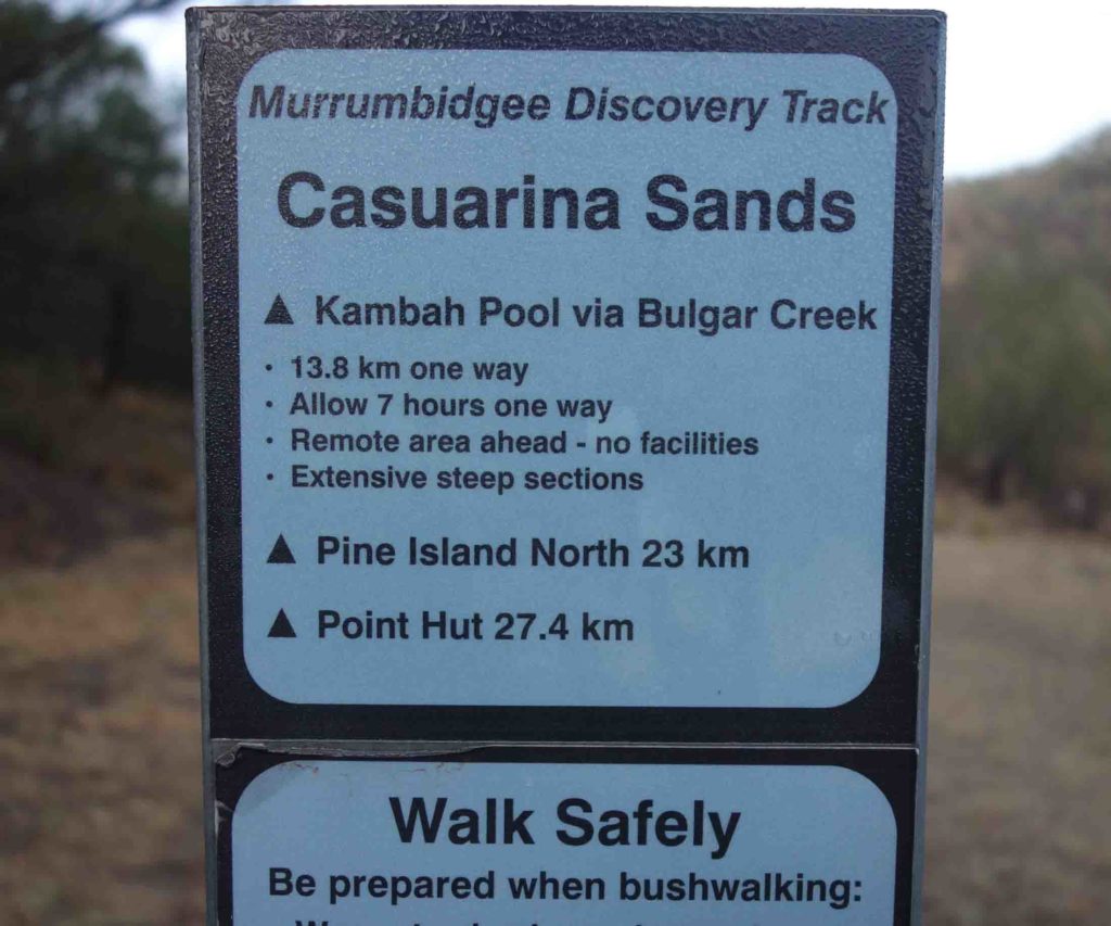
First up this 27.6 km walk can be done starting at either the northern or southern trail heads so if you plan on walking the full distance in a single day (there is no camping allowed) then allow yourself plenty of time and pace yourself. There are a number of vehicle access pins along the way that allow you to get off trail of you only want to do shorter sections and do the trail over a number of days then this is also an option. The hardest section of this walk is that between Casuarina Sands and Kambah Pool and if doing this walk in a southerly direction, you are taking the harder choice (see image below on altitude change).
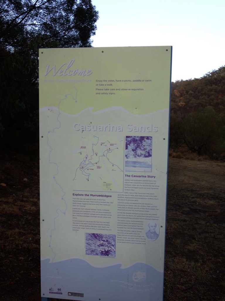
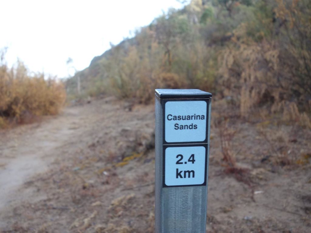
For no particular reason I decided to start at Casuarina Sands which can be best described as the northern trail head. My walk started just before 7:00am in the morning with the expectation that it was going to take me around 7 hours to complete. I love starting my walks early in the morning regardless of the time of the year and in this case I was walking along the gorges that house the Murrumbidgee River, hence the name. There are good facilities at Casuarina Sands including toilets and barbecue facilities and plenty of parking.
For the first hour or so I was walking in good light but the sun had yet to broach the surrounding gorges keeping it nice and cool. The downside was the previous nights rainfall which was dripping off the plants as I passed by. The biggest surprise for me on this walk was how green the Murrumbidgee River corridor was despite the extremely dry conditions in the rest of the territory. The bushland either side of the river is certainly struggling like the rest of southern Australia but it just had a lushness to the northern section that was unique. This additional lushness also showed up with the wildlife with the kangaroos, wombats and wallabies being very big and healthy.
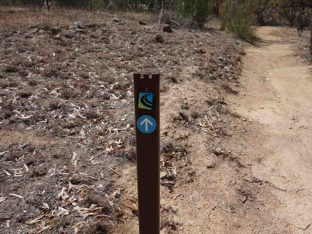
Signage in this top section of the trail is overall very good with small directional arrows and distance markers located every 200 metres. However at a couple of locations you are presented with a choice and it’s not always clear which direction you should head. If in doubt remember that you are following the river corridor and you will pretty much have that on the right if you start at Casuarina Sands.
First stop was the Kambah Pool Recreation Area 16 km into the walk and this is another opportunity to take a break. Please note that Kambah pool is home tp Canberra’s only designated nudist beach but don’t worry about seeing things you shouldn’t because you will need to make a conscious decision about going to that area if thats what you are into.
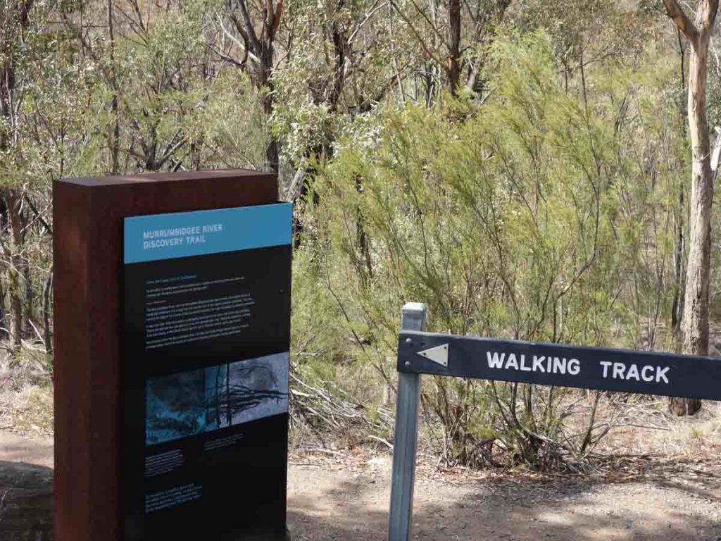
It’s at this point that the trail merges with a section of the Canberra Centenary Trail that loops around much of the built up area of Canberra. The main thing to know about this middle section of the trail is that it is a shared trail and you may come across cyclists which is why it tends to be wider and better maintained than the section to Kambah Pool. The other thing to note once you reach Kambah Pool is the vegetation starts to open up exposing you a bit more to the sunlight which you will feel in the hotter months.
The signage also changes on this section shifting mainly towards the signage for the Centenary Trail and every so often you will come across the odd sign for the Murrumbidgee Discovery Trail. One obvious one is an optional route change where you can do a creek crossing. I’ve done both options and the creek crossing works well when the water level is low but when its high you will need to take the road route.
Towards the end of this middle section you will come across the Tuggeranong Stone Wall paddock and its here that you leave the Centenary Trail and head of towards Pine Island on the standalone Murrumbidgee Discovery Track. Pine Island is one of Canberra’s biggest public river swimming areas. It has playgrounds, barbecue and picnic facilities, and excellent parking. If the weather is warm and you have the time it’s a good opportunity to stop for a swim. If you plan on swimming here then start at the northern trail head. Pine island is an extensive area and will take a while to walk through. Once you reach the end of this area you only have 2.5 km to go to reach your destination at Point Hut.
Overall this walk is pretty amazing with good changes in vegetation meaning you won’t become bored and there is plenty to see. This is definitely one to add to the list but be aware if you plan on doing this walk in a single day it will push you physically.
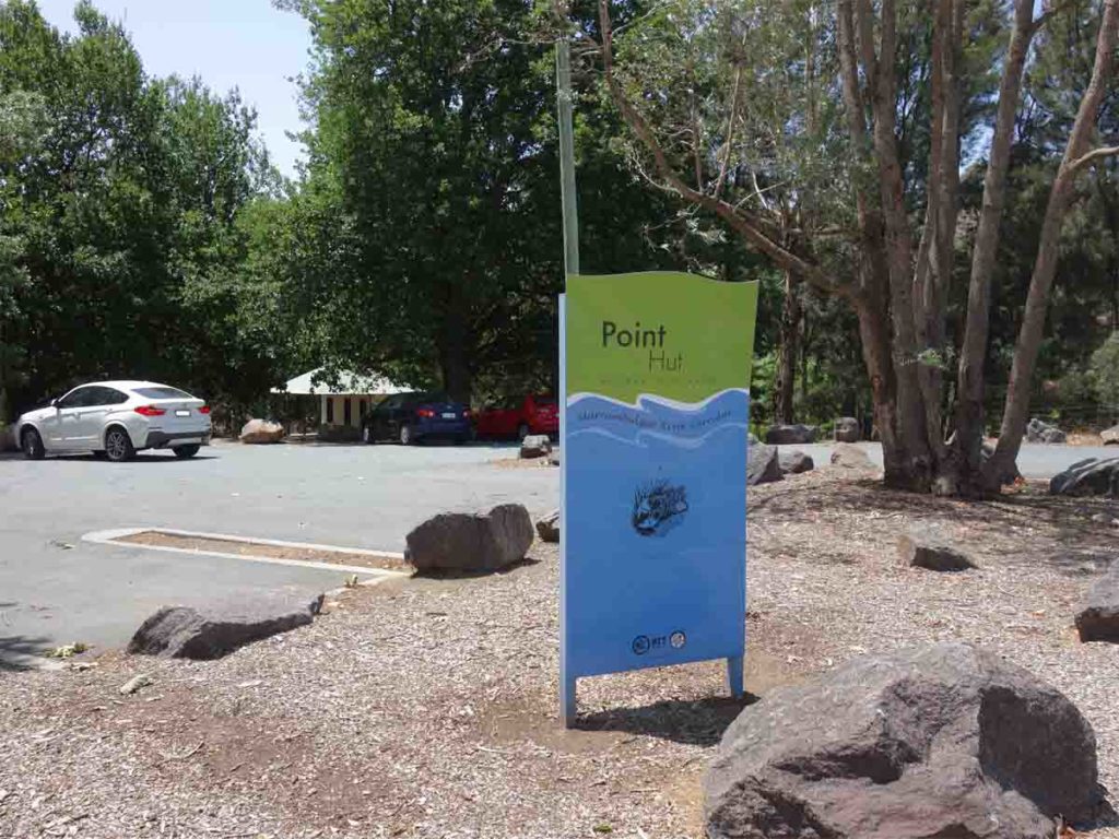
Trail head signage
Choose your own adventure stoping and starting along this long walk. Follow the blue signage along the trail
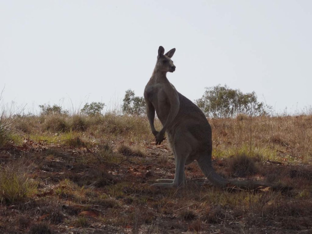
Big male kangaroo just minding his own business and not too bothered about me being there
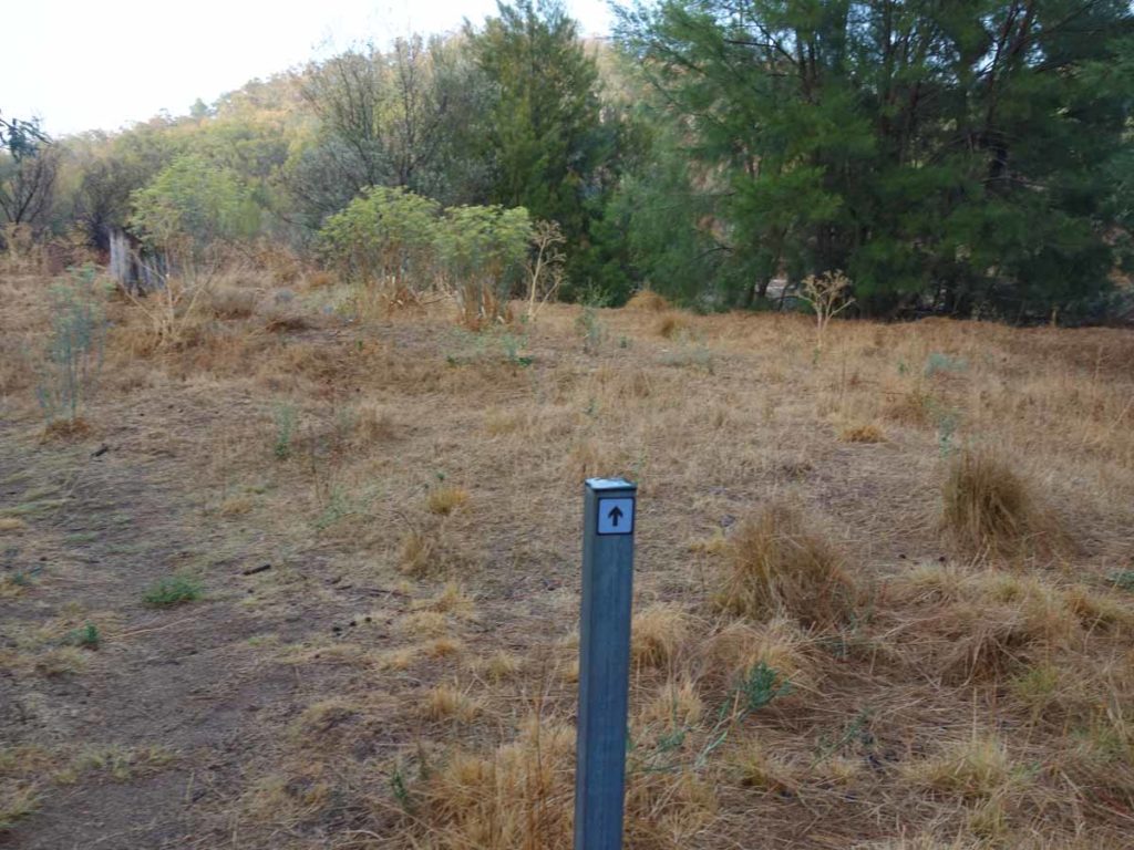
Trail marking arrows
Directional signage
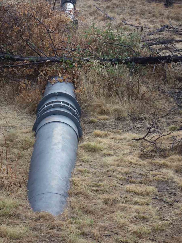
Water pipe at the Cotter which helps to feed Canberra’s water supply
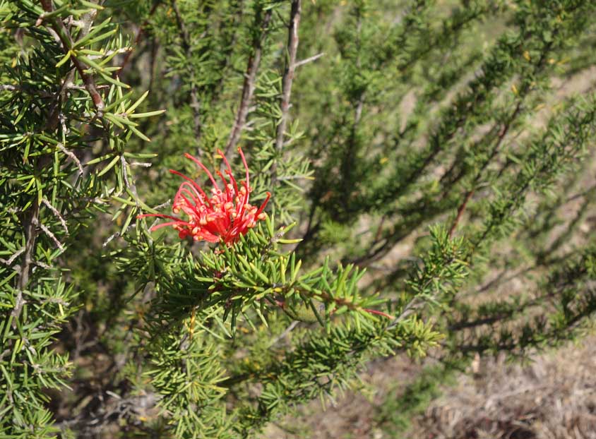
Grevillea in flower
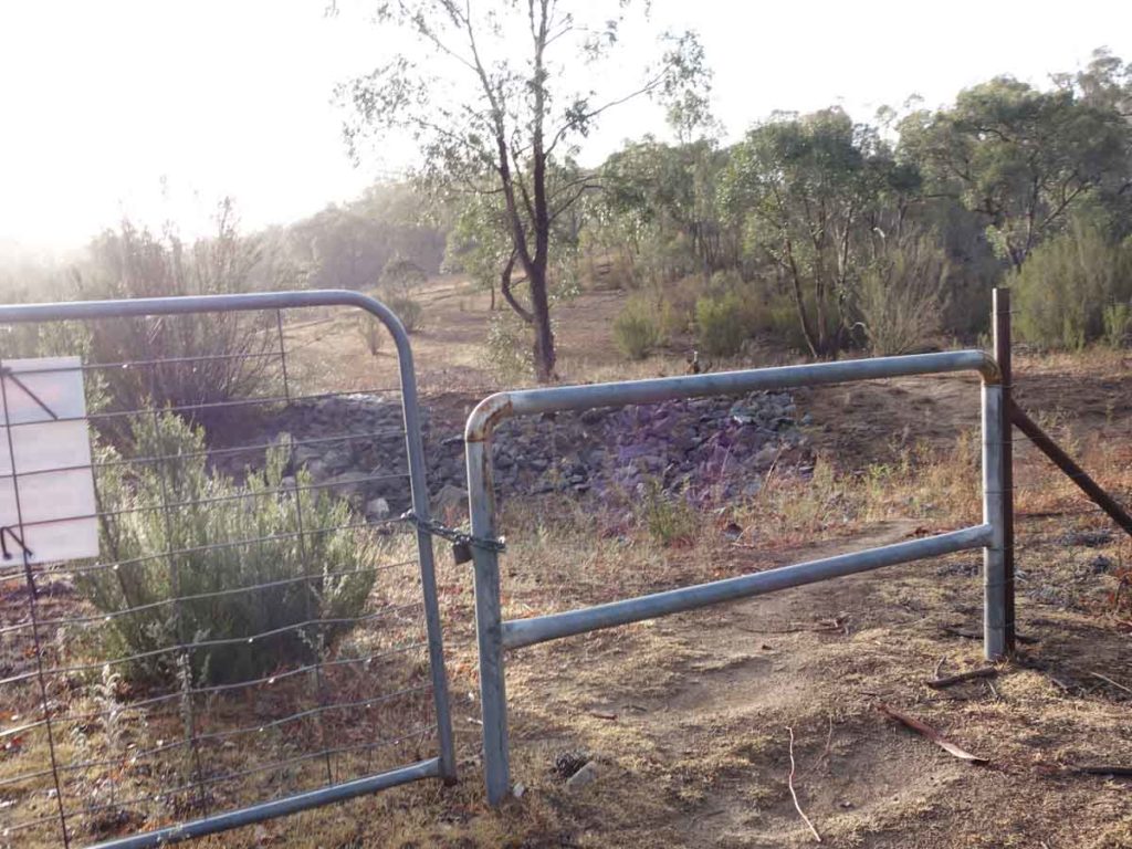
Stile along the trail
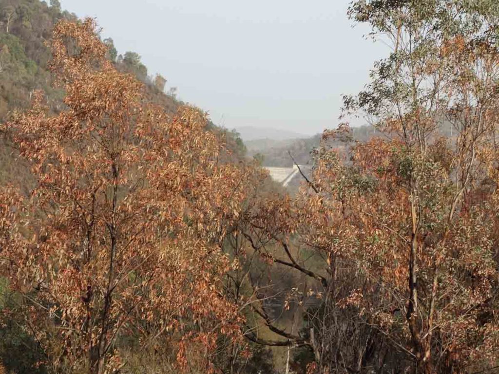
Looking back towards the Cotter Dam

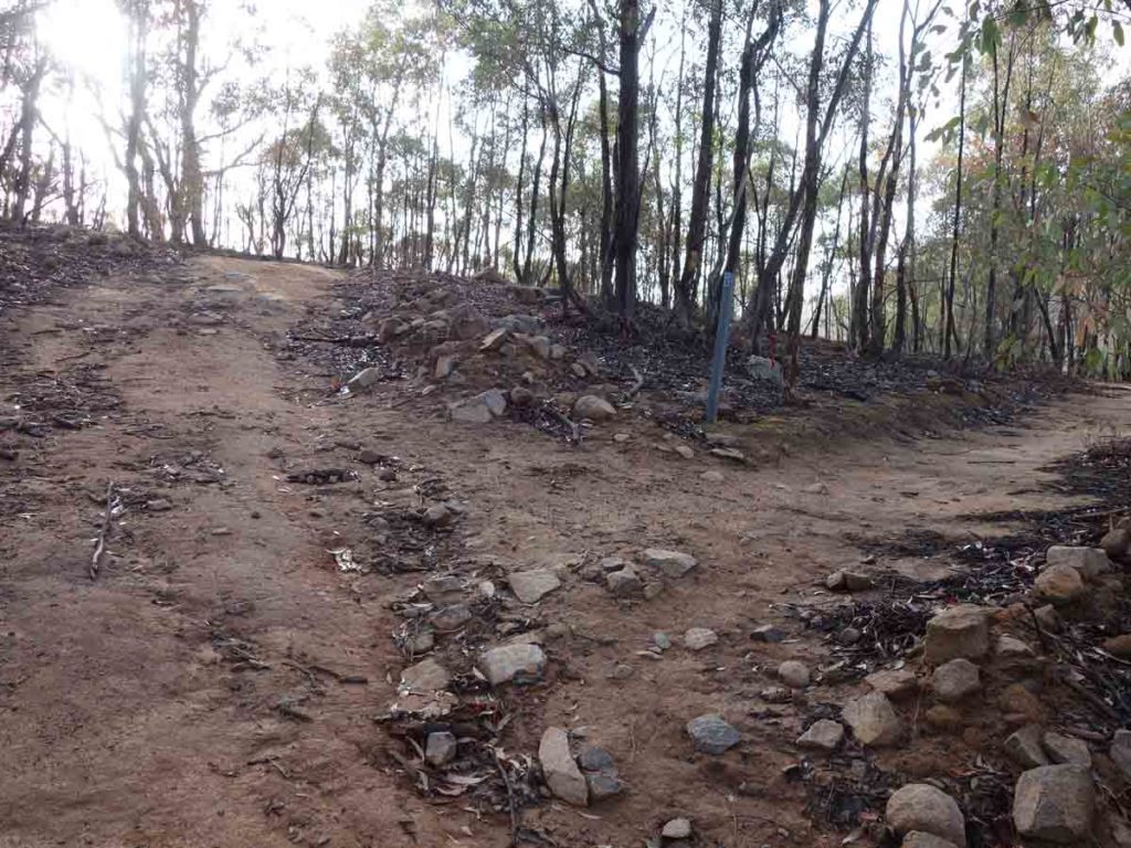
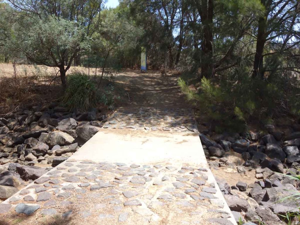
Trail example
On the trail
Kangaroos on the trail. I’m just glad I was taking a break
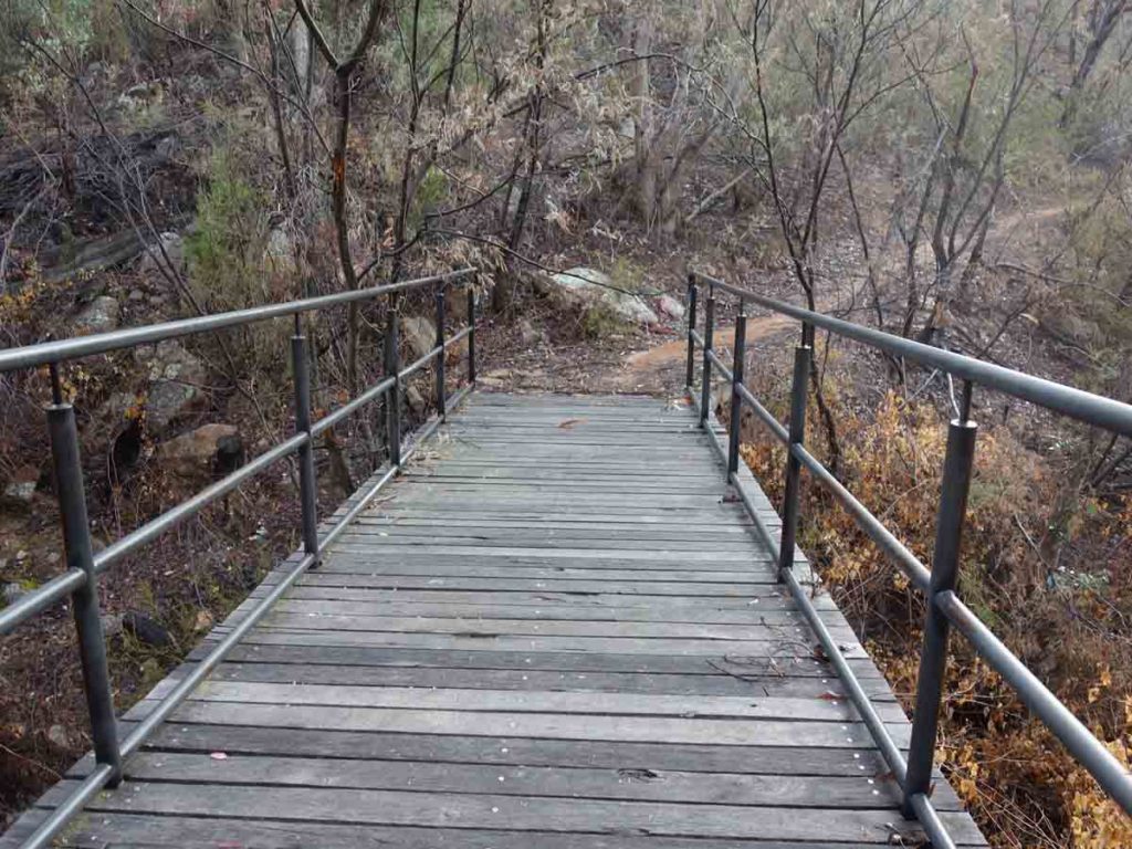
Bridge along the trail
Turn to the right. It’s not as obvious as it should be though
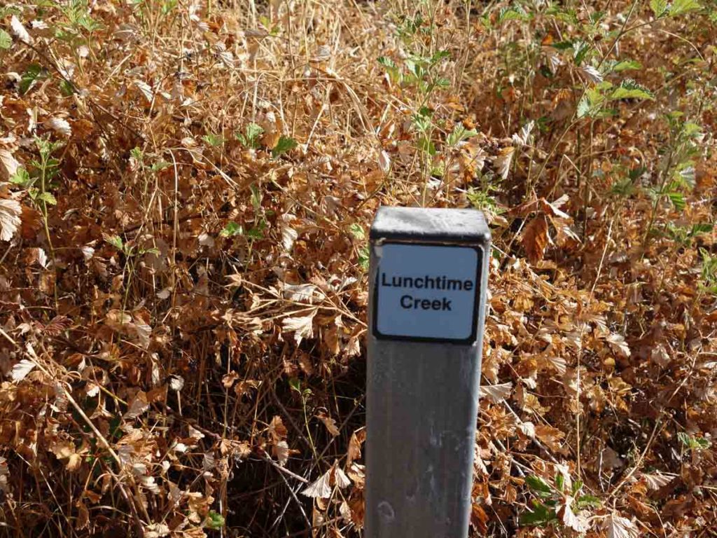
Lunchtime Creek! Not really – its infested with blackberries
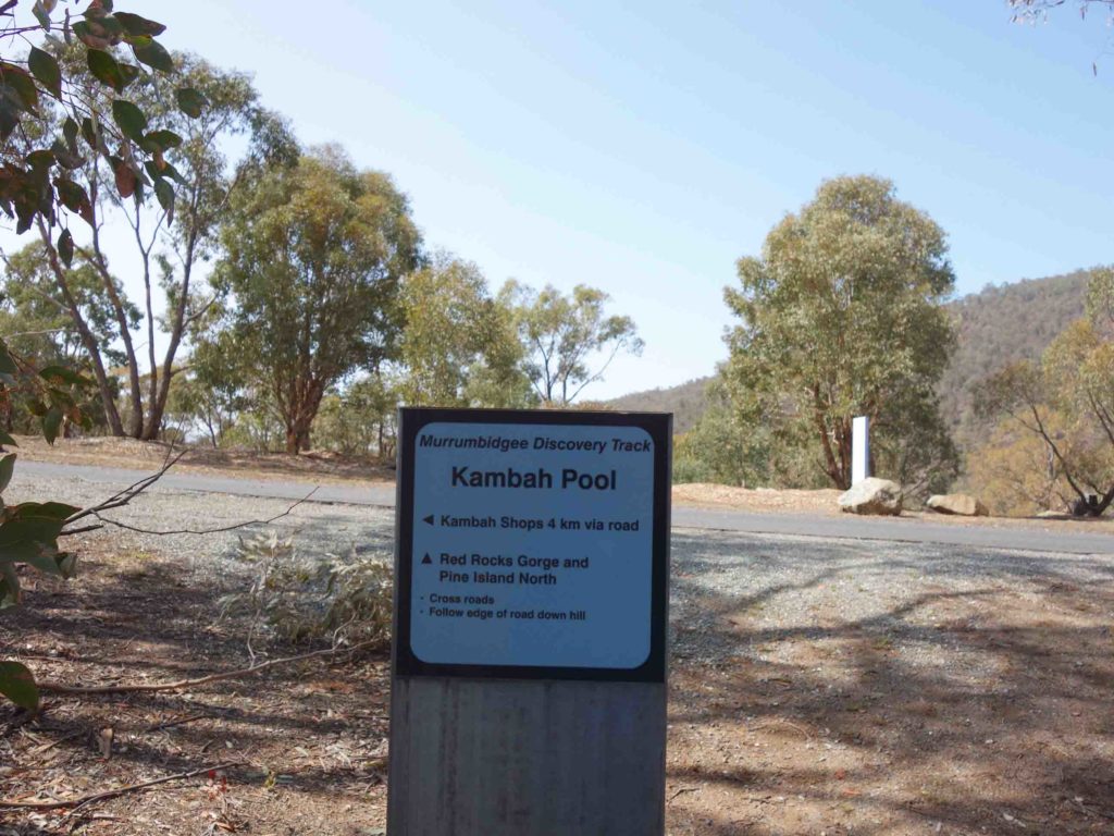
Kambah Pool
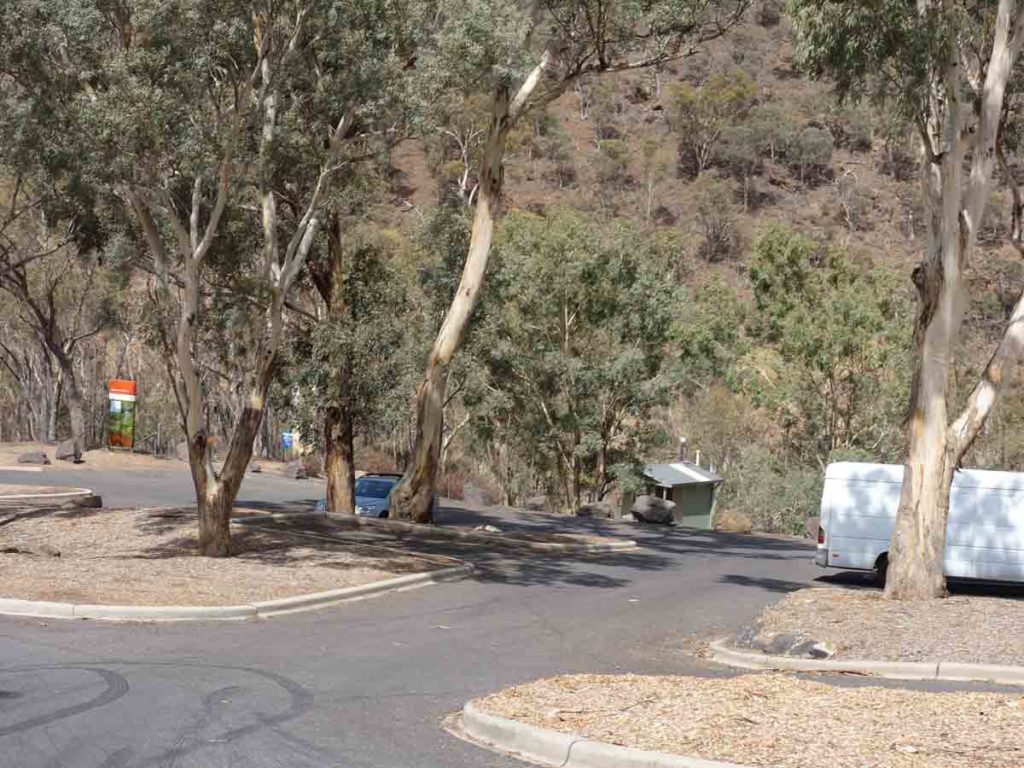
Looking down to the river once we had angled back up towards the road where there are parking and toilet facilities
Trail head at Kambah Pool. From here you are on the Canberra Centenary Trail
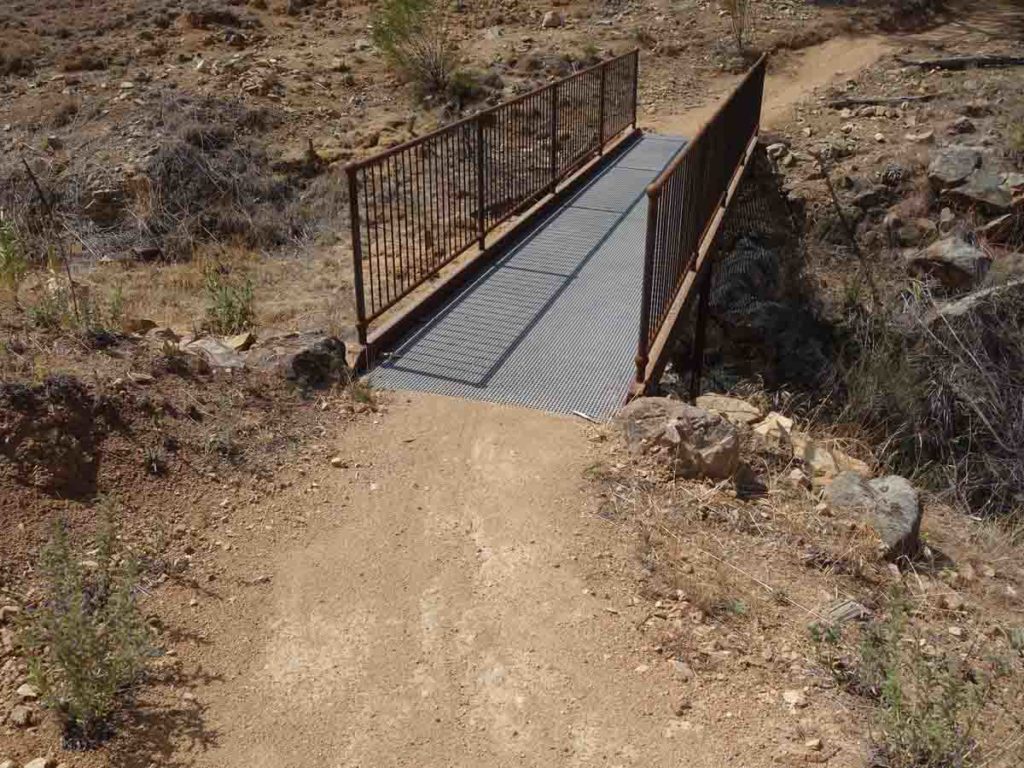
Bridge
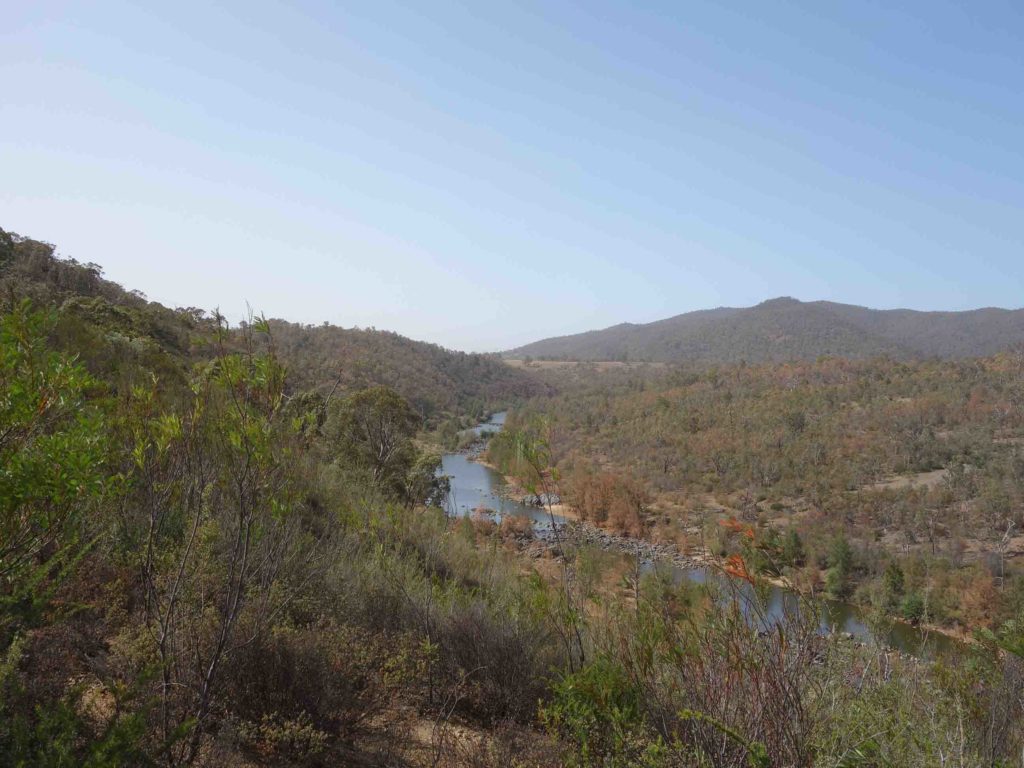
Murrumbidgee River
Trail marker
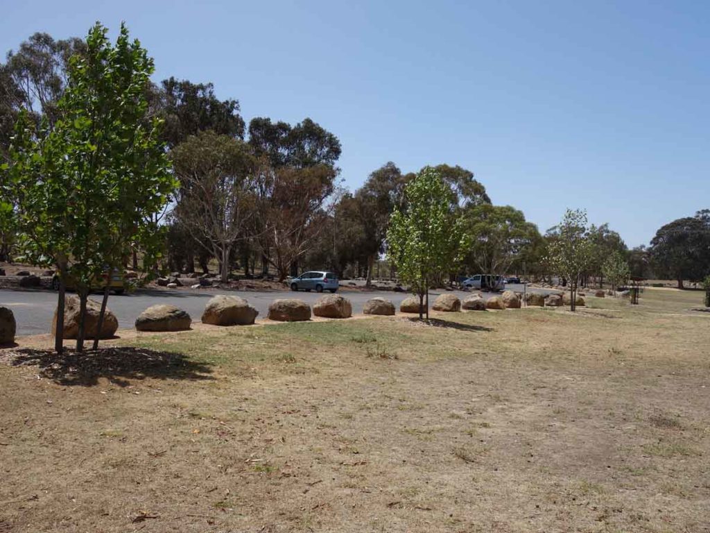
Pine Island car park
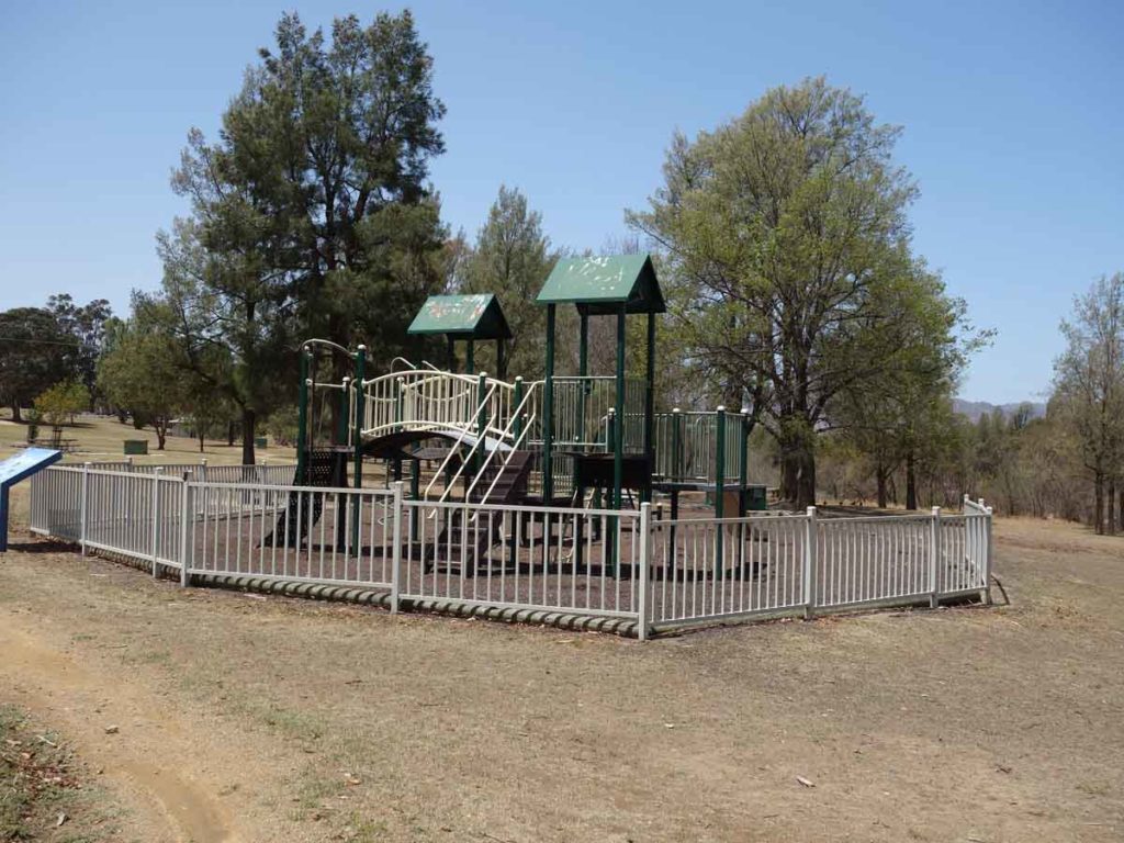
Playground at Pine Island
Pine Island toilets. There is another toilet block further along
Leaving Pine Island
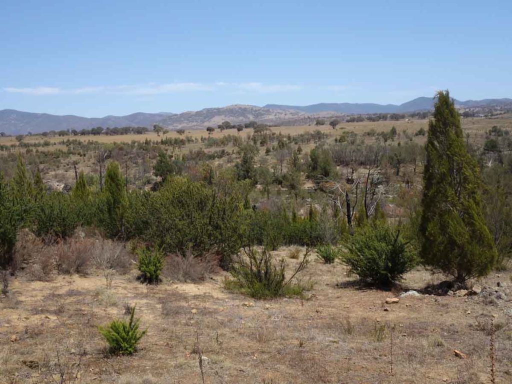
Views to the Brindabella Ranges on the southern end of the trail
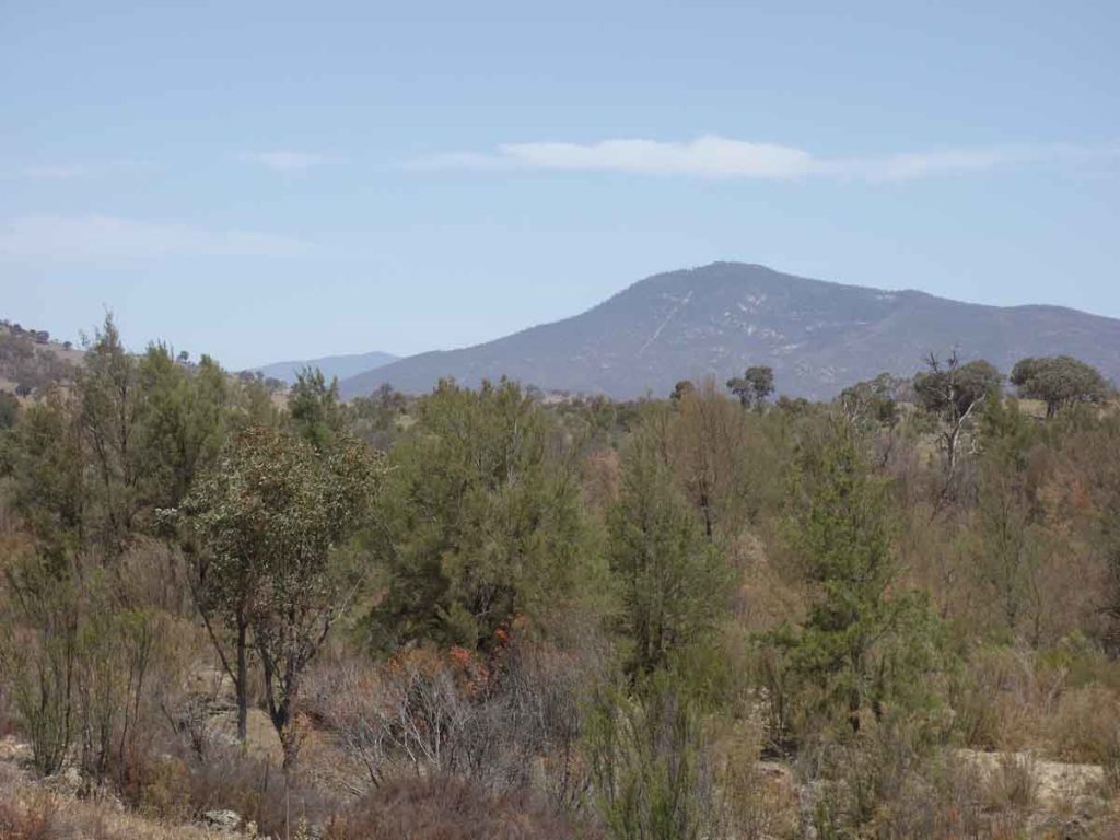
Mount Tennent in Namadgi National Park is close by
Entering Point Hut
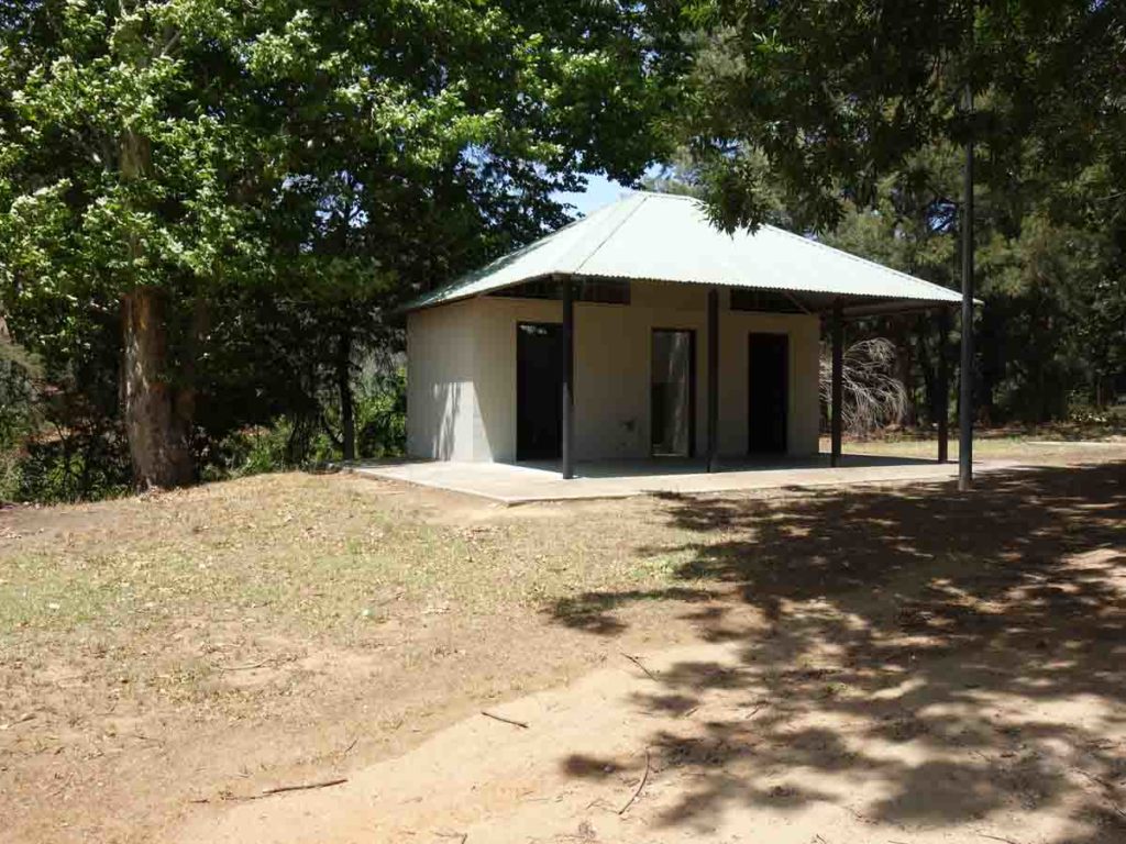
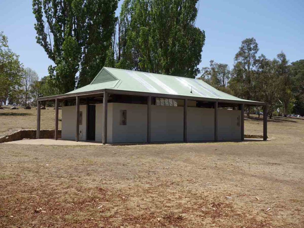
Toilets at Point Hut and the end point if starting from Casuarina Sands in the north
Car Park at Point Hut
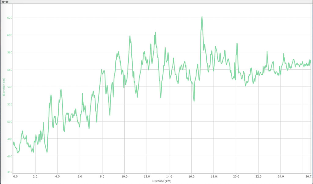
Change in altitude across the walk heading from Casuarina Sands on the left of the image to Point Hut on the right
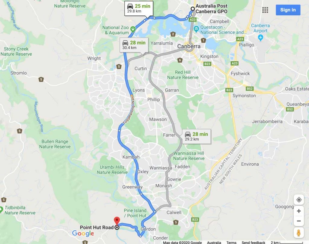
Getting There
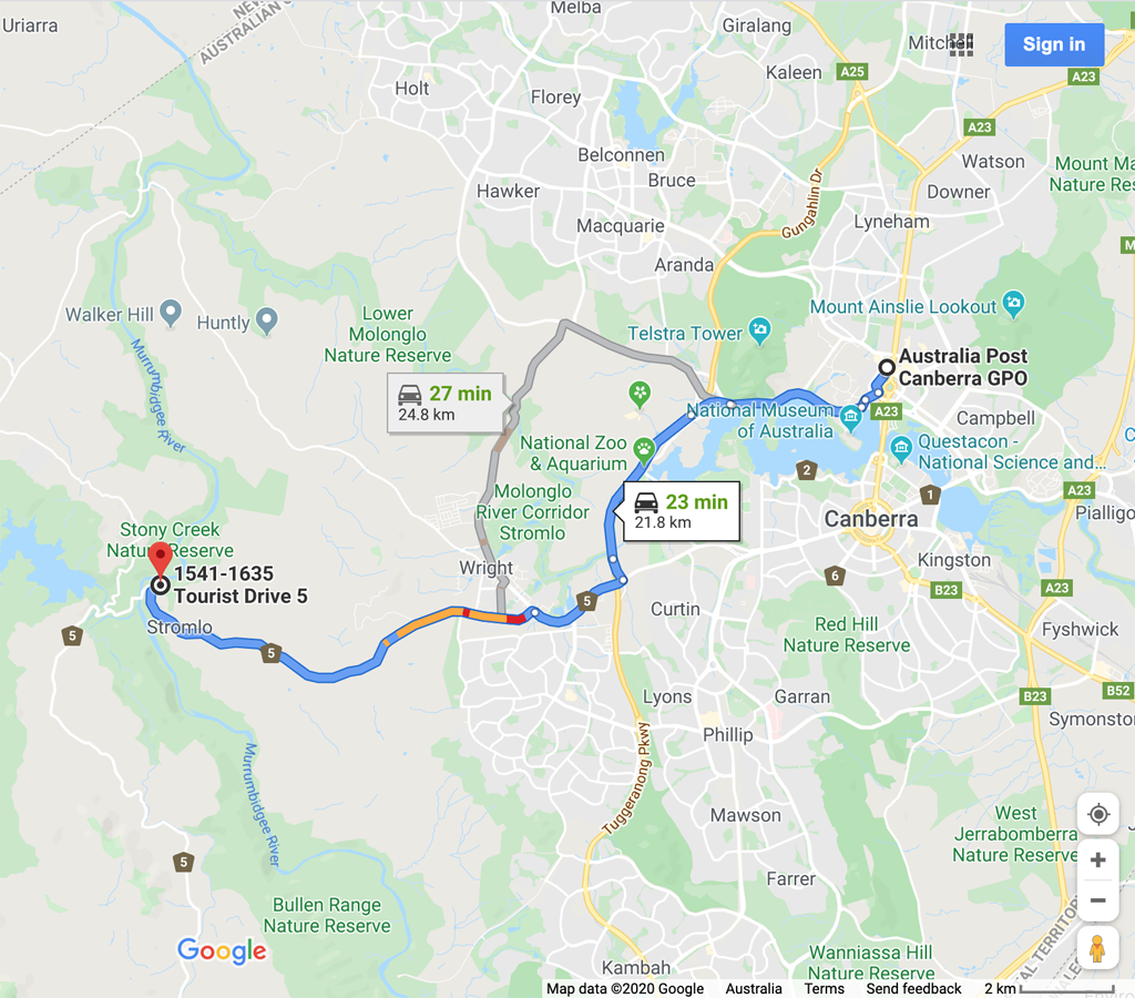
Northern trail head at Casuarina Sands is around 22 km from the Canberra GPO and around a 30 minute drive
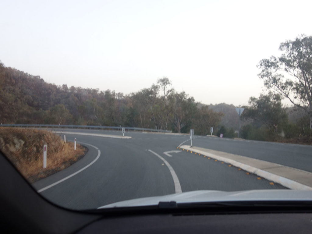
Turn off to Casuarina Sands
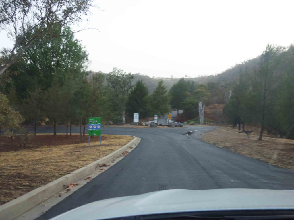
Turn left on entry
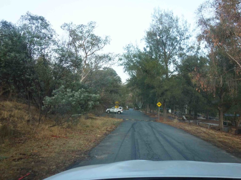
Heading into the trail head car park
Southern trail head at Point Hut
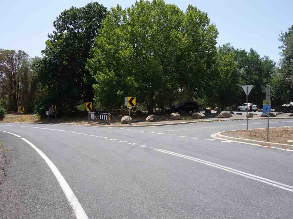
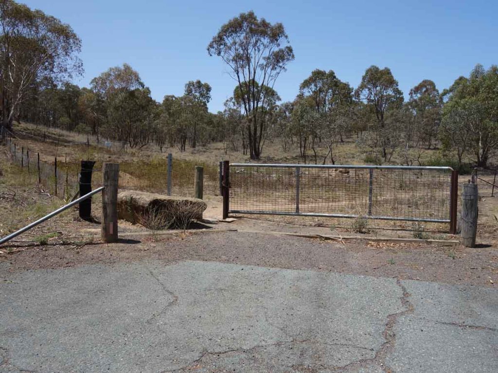
Turn off to Point Hut
Car Park at Point Hut
Things to Know
- Phone: There is excellent phone signal on most of this track (Telstra) but can be patchy in the northern section of the trail
- Water: Water is available at various points along the trail including from the Murrumbidgee River but we suggest you bring a water filter is you plan on drinking from the river
- Toilets: There are toilets at various intervals along the trail at the respective trailheads
- Trail: This trail consists of formed track
- Dogs: Dogs not allowed
- Camping: Not allowed
- Other:
- This walk is done in an end to end fashion and we suggest starting at the ‘northerly’ trailhead at Casuarina Sands
- Keep an eye out for cyclists on the central section of the trail
- Bring fly repellent in the hotter months
- Bring adequate shade (hat, long sleeves etc) in the hotter months
Disclaimer
This walk was undertaken by the team from Australian Hiker