Honyong Walking Track ACT (2.61 km)
Cotter Reserve
Nearest Town
The closest suburbs to the trail head are Duffy and Wright, ACT
Starting Location
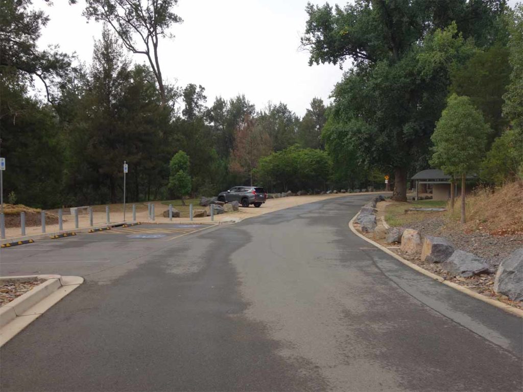
Start this trail at the Cotter Reserve. Once you arrive at the Cotter turn towards the Dam Wall and park near the toilet block at the end of Cotter Avenue. The trail starts about 40 metres from the toilet block
Finish Location
The Cotter car park back where you started
Best Time of the Year to Walk
Year round
Honyong Walking Track ACT Track Review
In 1915 Canberra’s Cotter Dam was completed and for many years this formed the main source of Canberra’s water supply. As the city grew and more dams were added, it was eventually decided that increasing the capacity of the Cotter Dam was the next step. Fast forward to 2013 when the new Cotter Dam was finished, Canberra’s water supply (which had been struggling to keep up with the city’s needs) was guaranteed for the foreseeable future. Even though this new Dam was in the news for a number of years, for some reason I never seemed to get the opportunity for a visit until recently. The Honyong Walk allows you to view the Dam wall up high and up close.
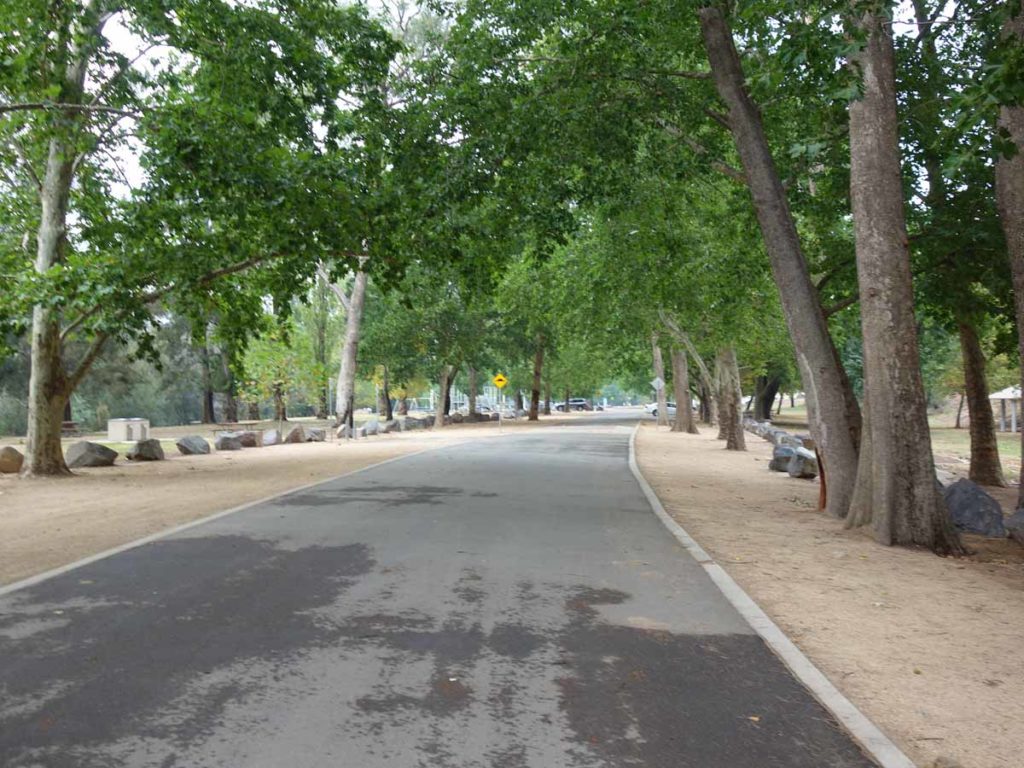
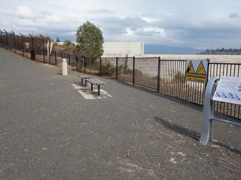
This walk starts at the end of Cotter Avenue and if you park your car as close as you can to the Dam wall near the end of the toilet facilities, you only have a short walk of around 40 metres. The Honyong Walk is just over 2.6 km but on checking the various interpretation signage at the base of the walk, one sign that says this walk is 5.5 km.
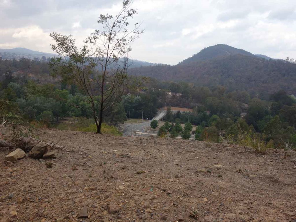
The walk is on management road that maintains an almost even grade the entire way up. The first stopping point is an interpretation point about 600 metres up the track where there is a small section of gabion that contains pieces of infrastructure left behind from the 2003 Canberra bushfires. This is also where the trail turns back on itself and to the final leg to the summit. The high point on this trail is actually about 90 metres from the lookout and it is at this point you can see through the fence to the Cotter Dam itself. Continue the walk to the lookout to get the views of the Dam wall. There must have been issues with people hopping the fence to get a better view (not really a sensible thing to do given the drop off) because there is a ring of razor wire as a last line of defence a few metres beyond the fence line.
Wildlife on this trail was fairly minimal consisting of a mother kangaroo and large joey. The vegetation is fairly low for most of the track so there is no real shade which is fine given this walk should take most people comfortably under an hour.
The walk back down is pretty easy and doesn’t require a lot of effort. Once back to the car park make use of picnic and barbecue facilities or visit the short interpretation walk on the other side of the river which is about a 600 metre walk in total.
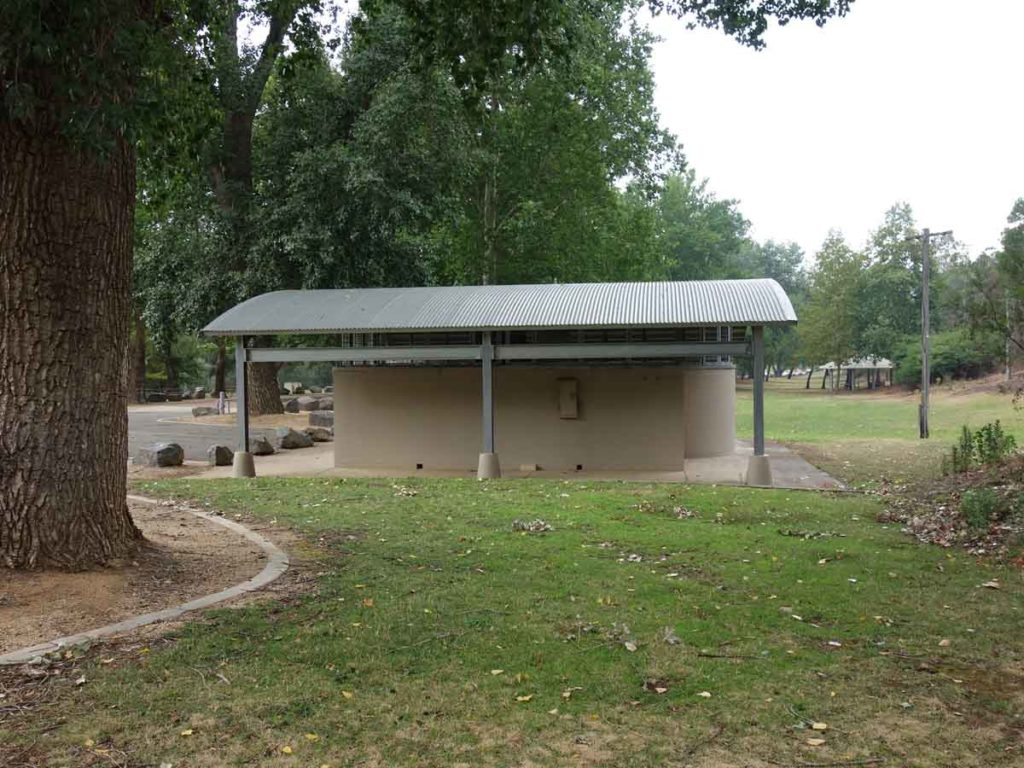
Toilet facilities
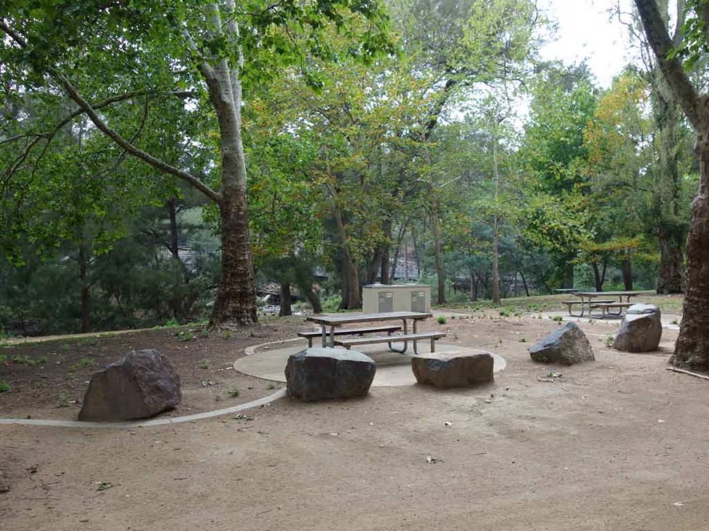
Barbecue and picnic area
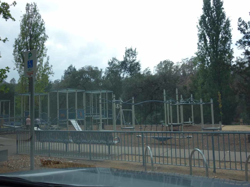
Play ground
Cotter Recreation Area
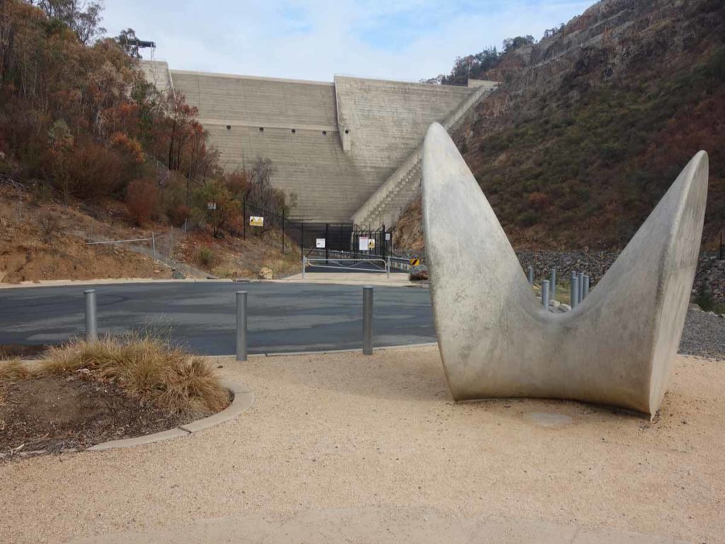
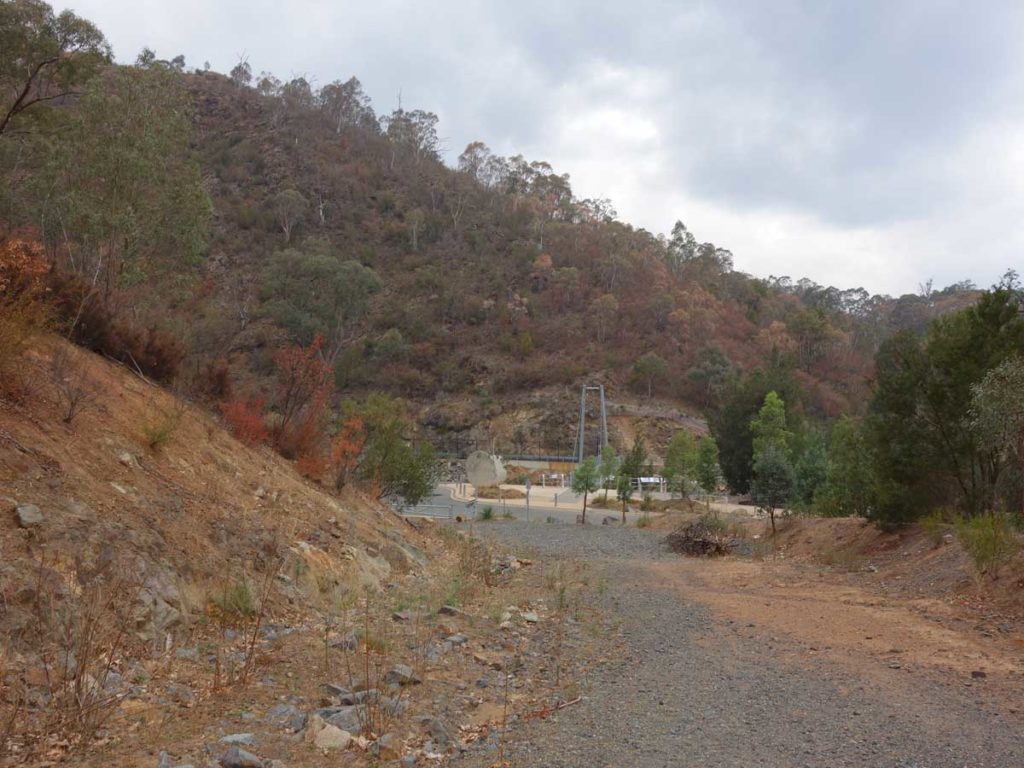
View to the Dam wall from the base of the Dam
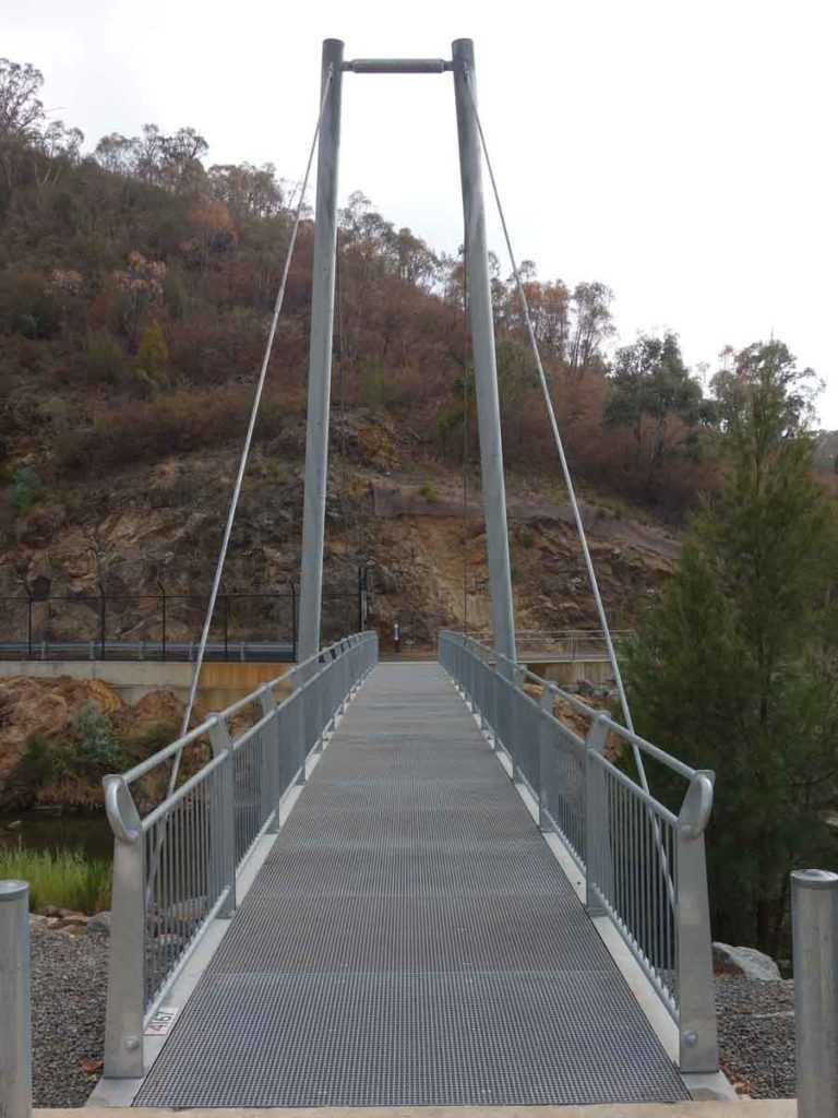
View across to the interpretation area which is a seperate short walk
Trail head
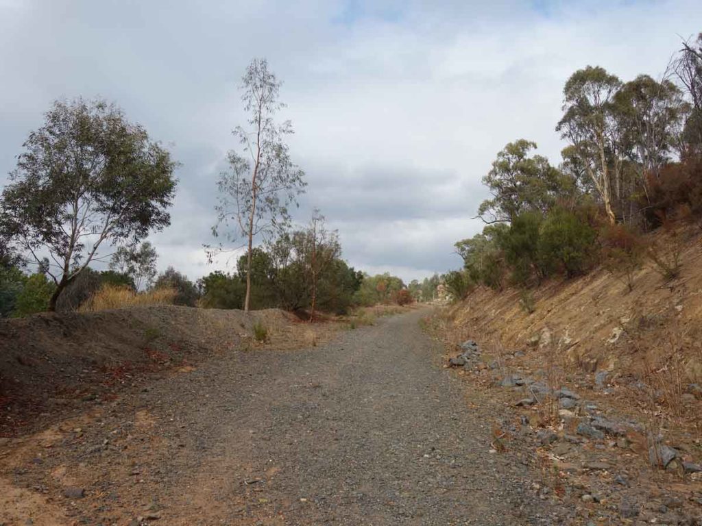
Trail example
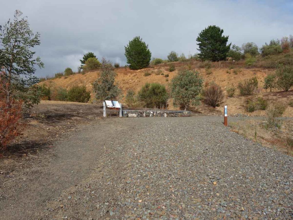
Mid point interpretation centre
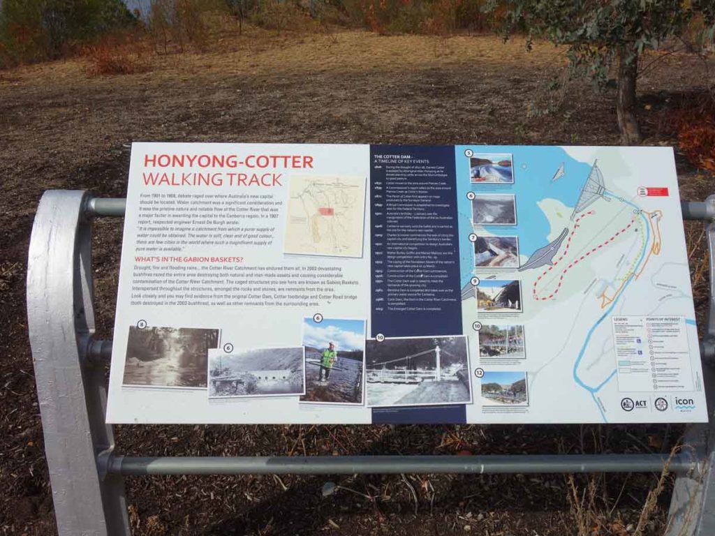
Mid point interpretation signage
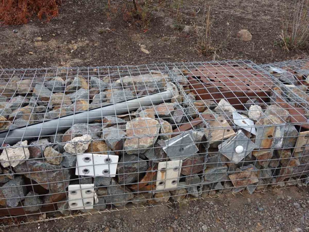
Close up of gabions
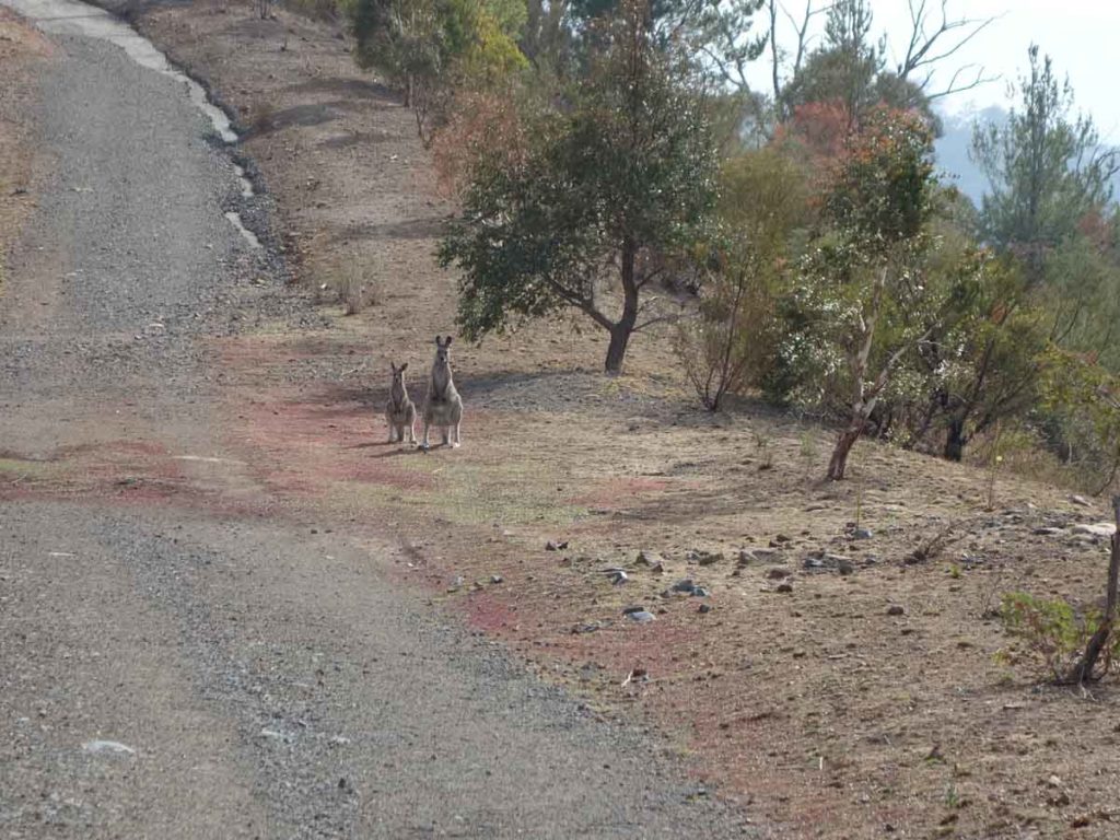
Mum and bub
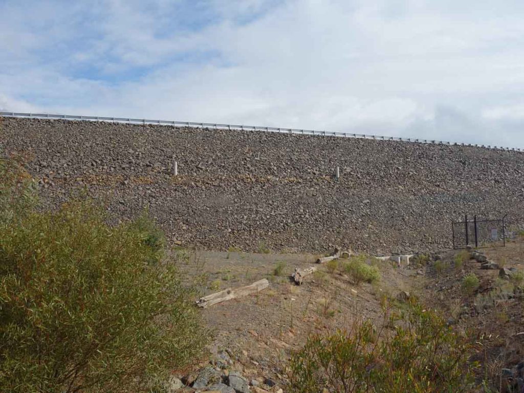
Dam rock wall
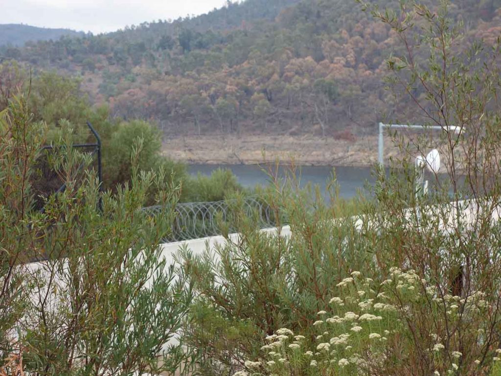
View of Cotter Dam through the fence
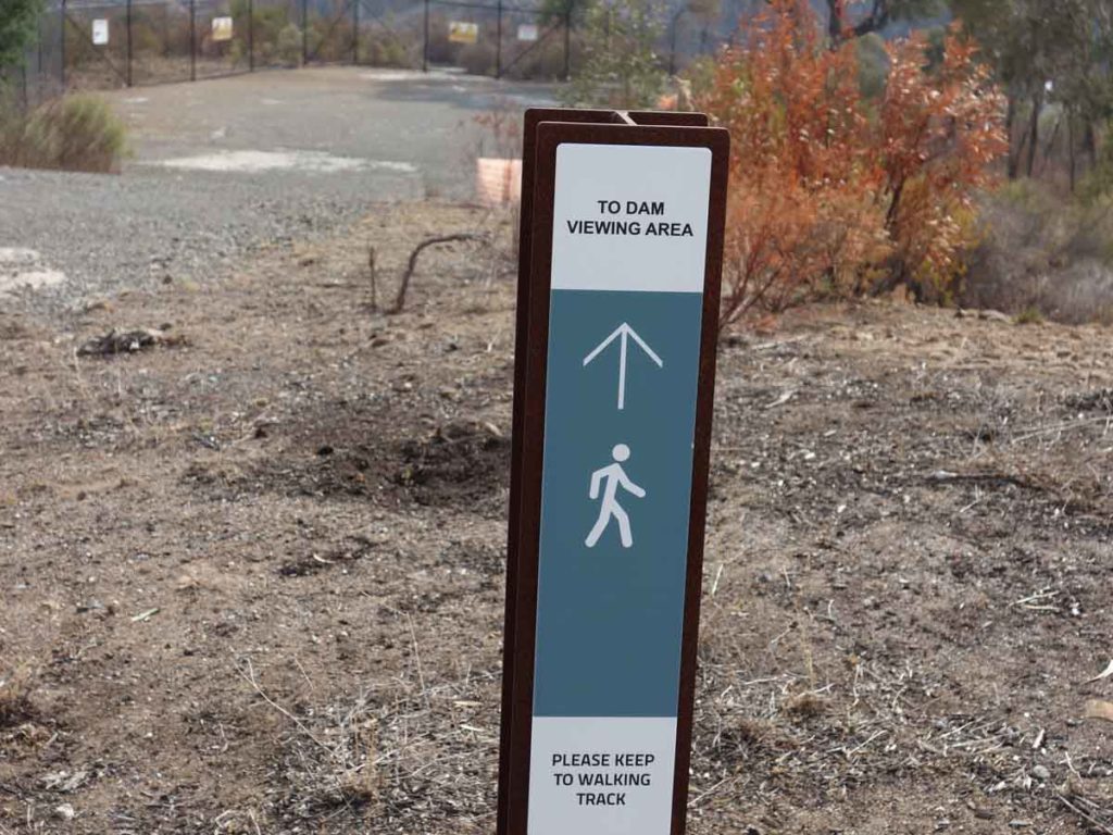
Trail directional signage
Lookout area
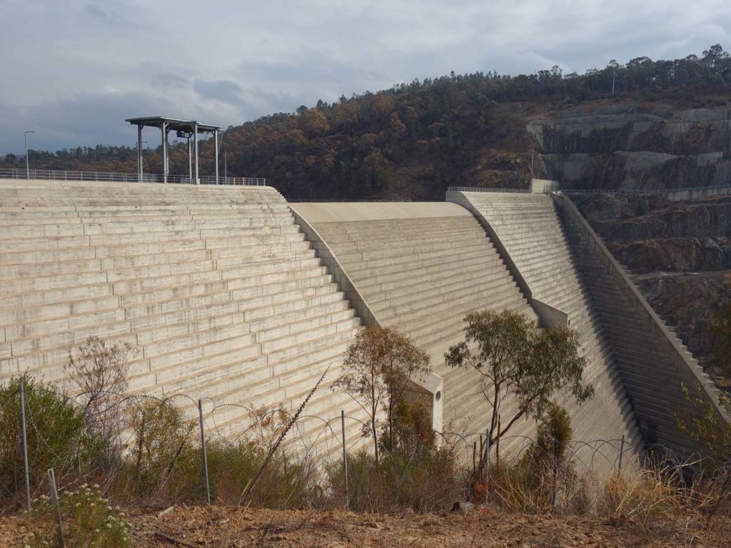
Cotter Dam wall from the lookout area
Video live from the trail
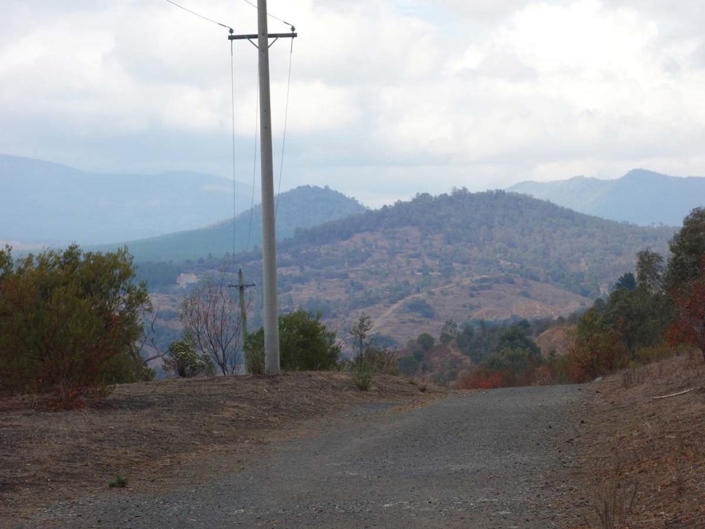
Views across to Namadgi National Park
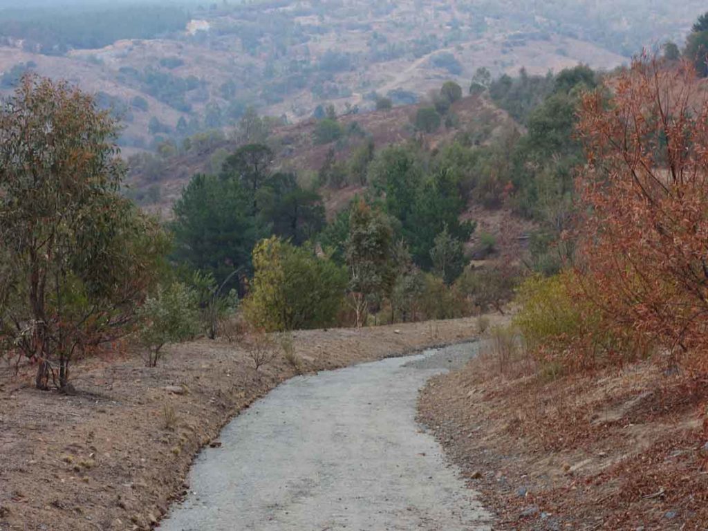
Heading down
View down to Cotter Recreation Area
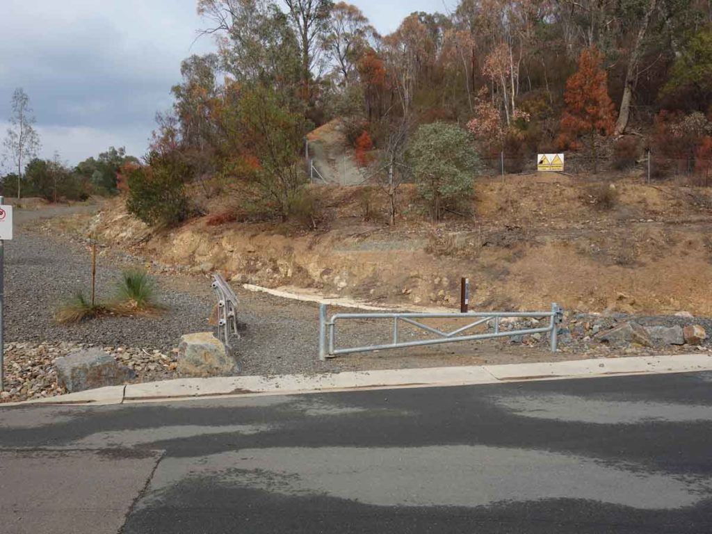
Coming back to the trail head
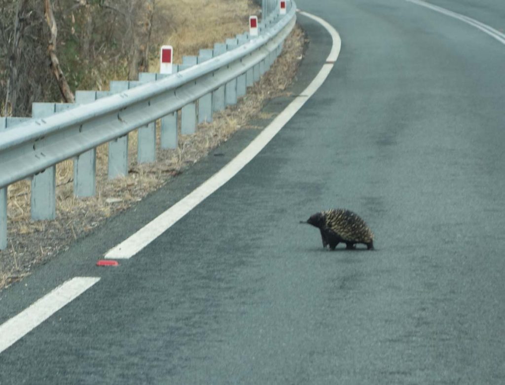
On the drive back to town, this echidna was (very slowly) crossing the road
Getting There
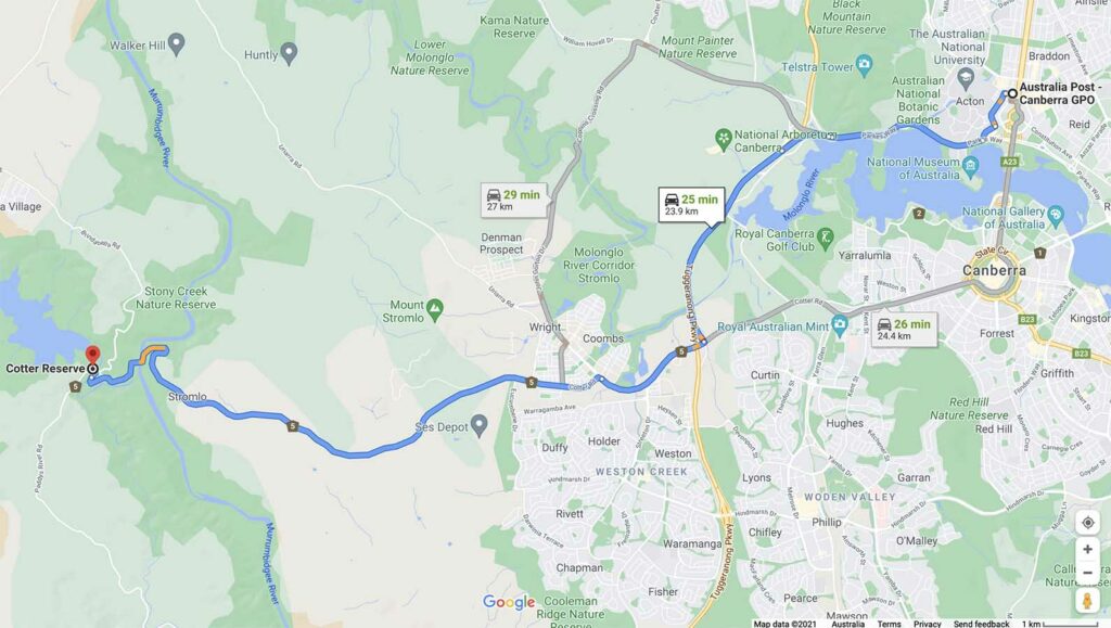
Cotter Reserve is around 24 km from the Canberra GPO and around a 30 minute drive
Car park
Things to Know
- Phone: There is reasonable phone signal on this track (Telstra)
- Water: You need to bring your own water but there is water in the picnic area
- Toilets: There are toilets located in the picnic area near the trailhead
- Trail: This trail consists of a steady grade management road
- Dogs: No dogs allowed
- Camping: If you want an extended visit there is camping down the road at the nearby Cotter Camping Area
- Other:
- This walk is done is an out and back walk
Disclaimer
This walk was undertaken by the team from Australian Hiker