River Walk Kama Nature Reserve ACT (5.7km)
ACT Nature Reserve
Nearest Town
Cook, ACT
Starting Location
Kama Reserve carpark. Please note the carpark is on the opposite side of the road to the reserve and you walk under an underpass
Finish Location
Kama Reserve carpark
River Walk Kama Nature Reserve Review
This walk on the western edge of Canberra wasn’t one I had planned to do any time soon but at the time much of the southern part of Australia was on fire and I wanted a walk that was close to the city and safe from any potential fire activity.
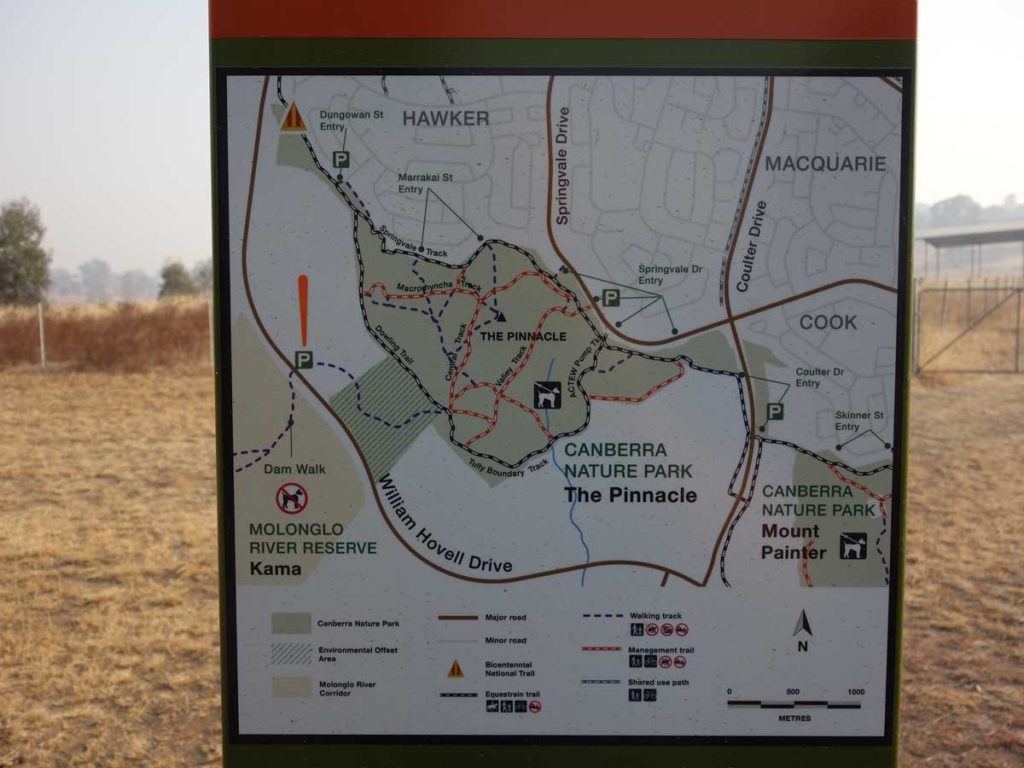
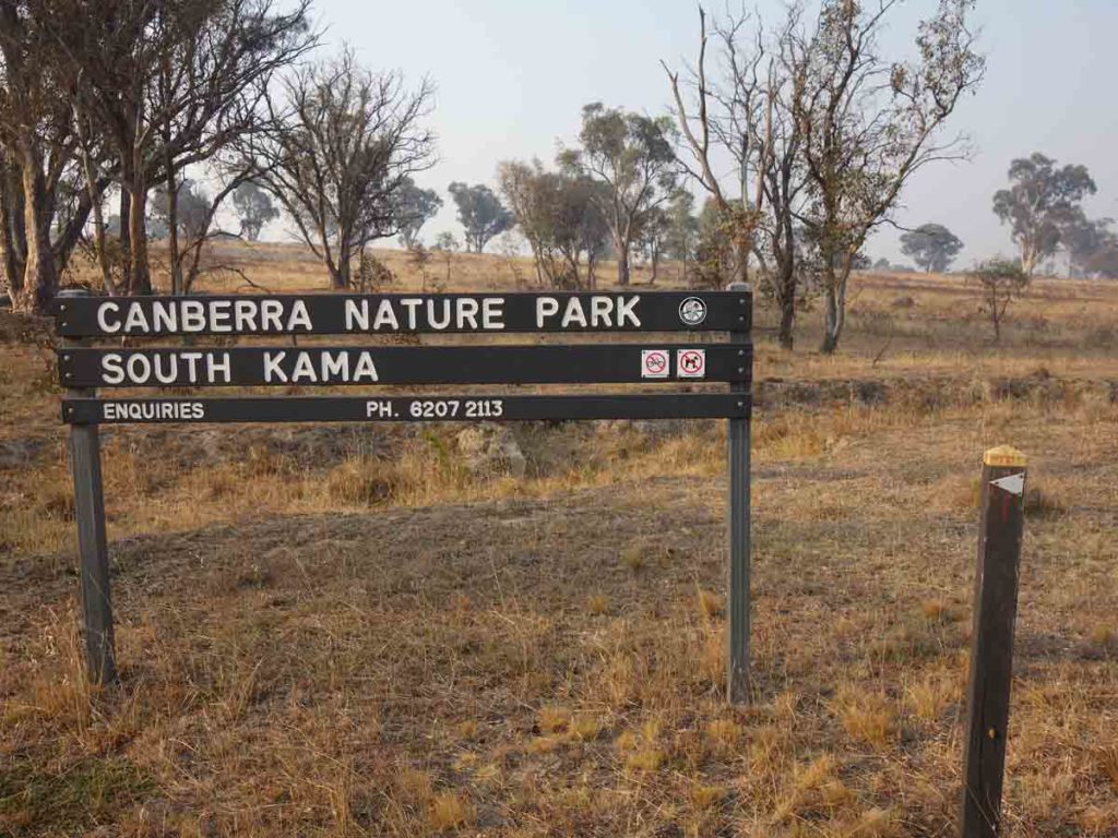
The Karma Nature Reserve is located on the western side of Hume and Hovell Drive if you are heading north from the city centre to the suburb of Cook. If you are travelling from this direction you will need to head up the road to a large roundabout and loop back down the road to the carpark on the left hand side of the road. The carpark will fit about 5-8 cars. There is interpretation and directional sign at the carpark. From the carpark you head down a ramp under the road and come back up at the gate to the Kama Nature Reserve. This walk is marked by a series of wooden posts with metal arrows so you can’t really go wrong.
This walk actually consists of two walks with the first taking you down to the dam and the second which is the subject of this review taking you on a longer loop down to the Molonglo River. There are a couple of choices on this walk with the first being once you hit the dam – you can go left or right to do the walk in a clockwise or anticlockwise direction. The second option is to walk along the road as you approach the river or walk down the hill and walk along the river itself.
When we did this walk it was during a very dry summer and apart from the odd kangaroo and bird there wasn’t a great amount to see and overall it was very exposed. The best part of the walk was down by the Molonglo River but given the high temperatures and dry conditions it didn’t really make up for the barren landscape.
If you decide to do this walk I would leave it to the cooler months of the year. Overall this wasn’t very exciting and it certainly wouldn’t be my first choice with so many other better options nearby. It was however an opportunity to get out and about and do a walk on a day when so many other walks were inaccessible.
Trail Head signage
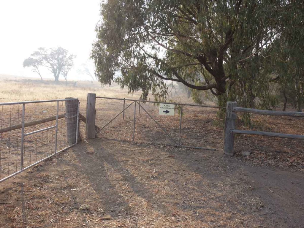
Sign to the reserve
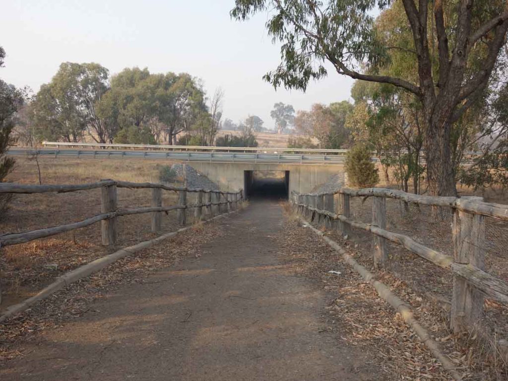
Tunnel under the underpass
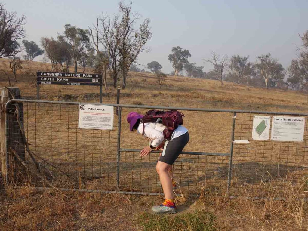
Through the gate we go
Trail signage. Note the post with the arrow – follow these arrows throughout the hike
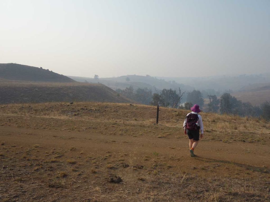
Trail example
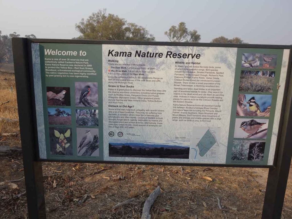
Trail interpretive signage
Choose a direction. Right to go anticlockwise (our preference) or left to go clockwise
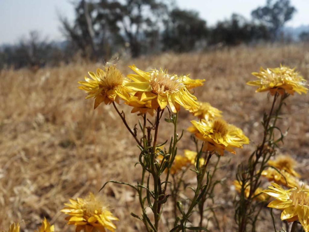
Paper daisy on the trail
Dried up dam. I have a natural preference for walking anticlockwise so took the righthand branch
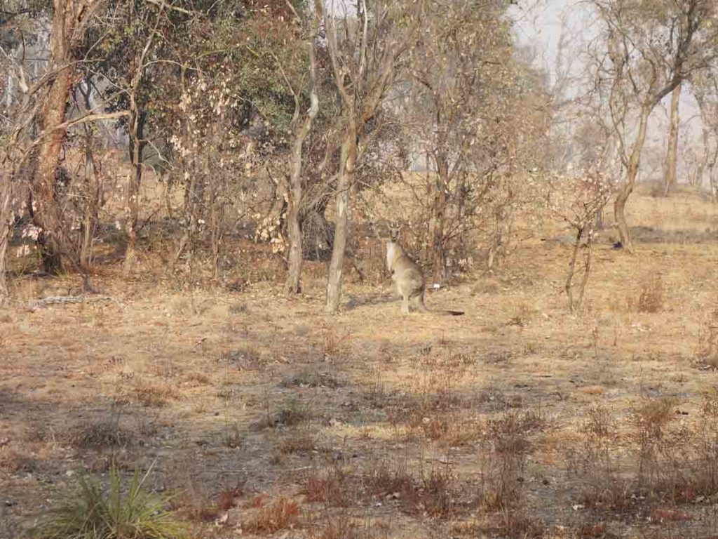
Kangaroo on the trail
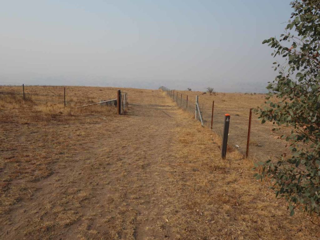
Follow the fence down to the road
The next decision point. Turn left and walk along the road or go down to the river before looping back up to the road again
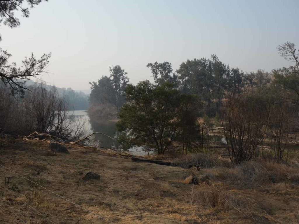
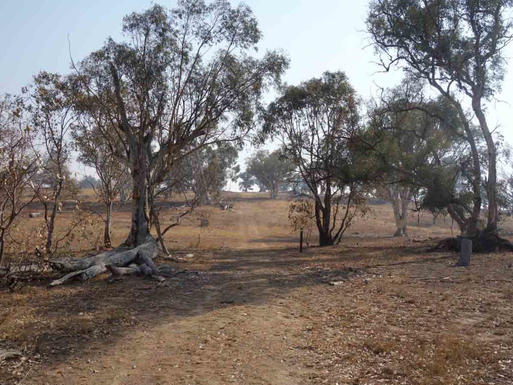
Molonglo River. We skirted the river before gradually walking back up the hill to meet with the road
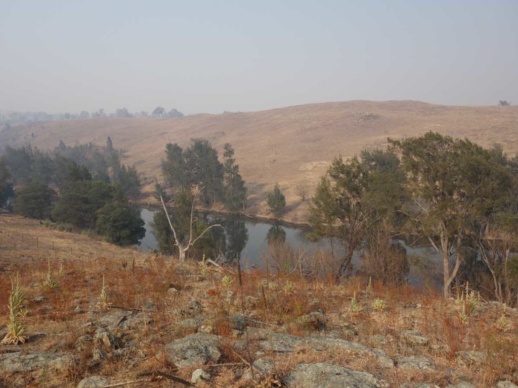
Looking down to the river once we had angled back up towards the road
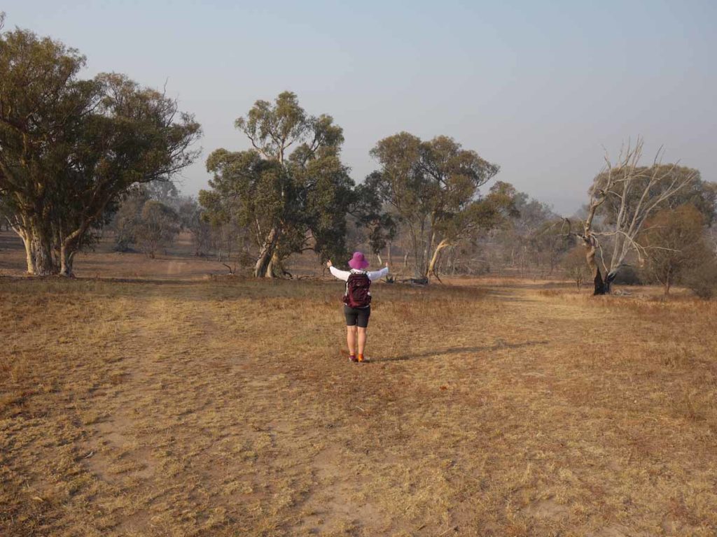
Live on the trail
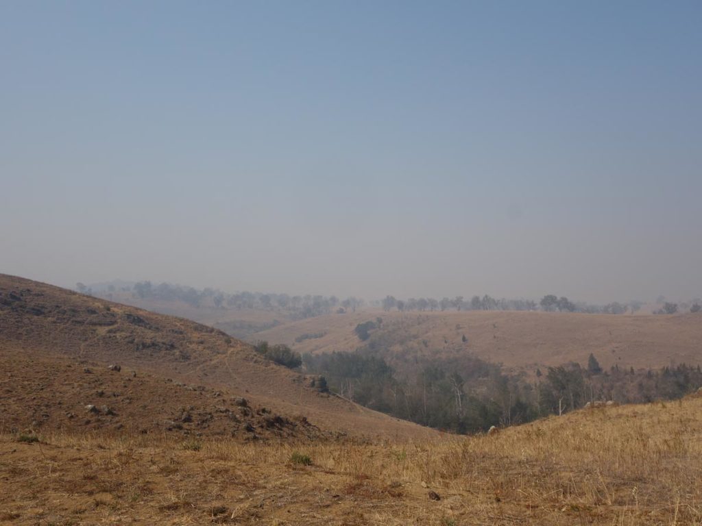
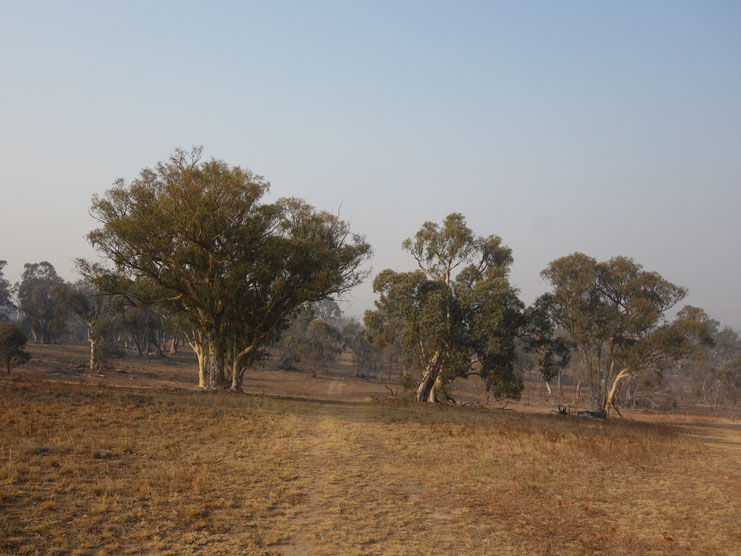
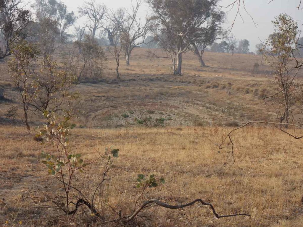
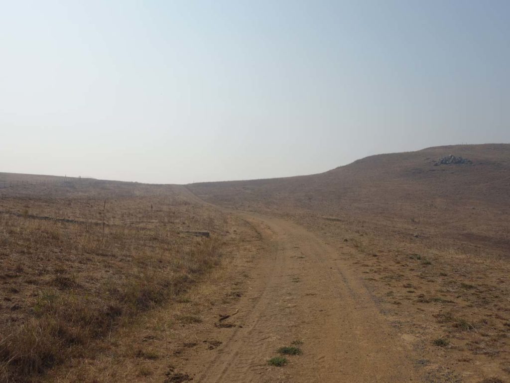
Surrounding hillside
Back onto the road
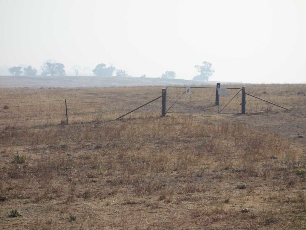
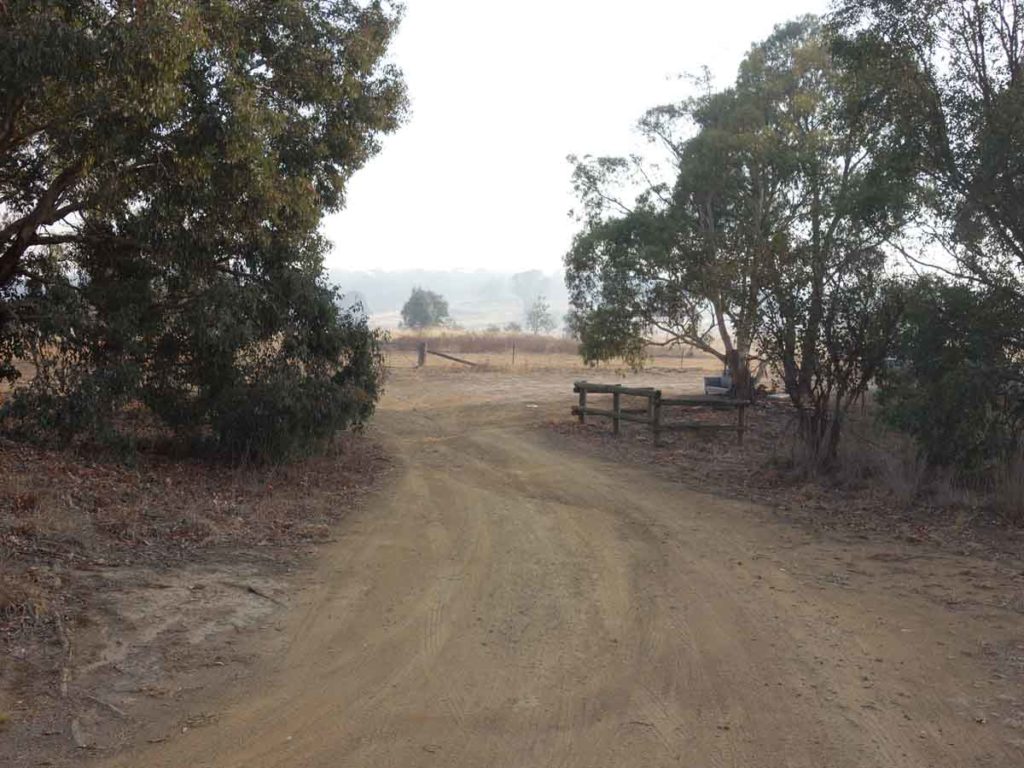
Through the gate
Heading back home
Getting There
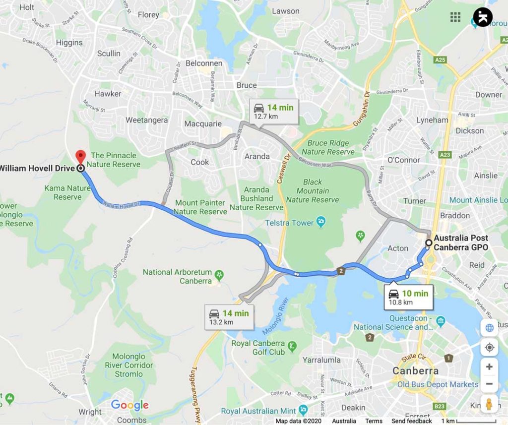
Google map showing the distance from the Canberra GPO to the trail head. This walk is only around 11 km from the Canberra GPO and will take around 15 minutes to reach from the city centre
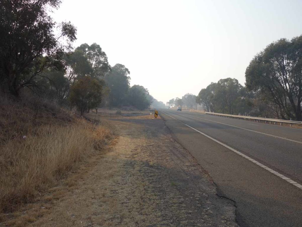
Turn off road to carpark
Pulling into the carpark
Things to Know
- Bring your own water or a filter to use the river water
- Bring fly repellent in the hotter months because the flies are numerous and active
- There are no toilets on this walk at any stage
- Carry your rubbish out
Disclaimer
This walk was undertaken by the team from Australian Hiker
Last updated
13 April 2026