Kambah Pool to Pine Island ACT (9.4km)
Canberra Nature Reserve
Nearest Town
- The closest suburb to the northern trail head is Kambah, ACT
- The closest suburb to the southern trail head is Greenway, ACT
Starting Location
You can walk either direction but my preference is to start at Kambah Pool and finishing at Pine Island which is a better recreation area at which to relax at the end of a hike
Finish Location
You can walk either direction but I suggest starting at Kambah Pool and finishing at Pine Island which is a better recreation area at which to relax at the end of a hike
Best Time of the Year to Walk
Year round but try to avoid extremely hot days
Kambah Pool to Pine Island Track Review
Kambah Pool and Pine Island are two of Canberra’s better known recreational areas for very different reasons. Kambah Pool is home to Canberra’s only nudist beach and Pine Island is home to Canberra’s best known general swimming beach. The walk between these two recreation areas can be done in either direction but the times I have done this walk, I have gravitated towards starting at the Kambah Pool end. My two reasons for this is that Pine Island is a much larger, better equipped recreation area, and if you want to swim at the end of the hike (with swimmers on please) then Pine Island has the best swimming beach.
This walk also forms part of the 27.6 km Murrumbidgee Discovery Trail and the 145 km Canberra Centenary Trail. The trail consists of management road and constructed trail. Given it forms part of the Centenary Trail, it is shared with bikes. Bike traffic isn’t overly heavy but expect to see at least one or two bikes if doing the walk on the weekend. As a shared trail, much of the trail tread isn’t overly steep and is also in very good condition so providing the distance is within your fitness level it’s a good option. The majority of this walk parallels the Murrumbidgee River corridor but the closest you get to the river itself is around the Pine Island area and as such it is fairly exposed so make sure you bring sun protection particularly in the hotter months.
There are two route options on this trail with the first being shortly after you start. By choosing the right hand branch you will get the best views down the river gorge from the Red Rocks Gorge Lookout area. Taking the left hand branch will bypass this lookout. I suggest you choose the right hand option as the distance is almost identical.
As you approach the midpoint of this walk there is another obvious optional route change just as you go through a gate where you can do a creek crossing. I’ve done both options and the creek crossing works well when the water level is low but when its high, you will need to take the road route. Distance wise either option will take you about the same length of time. Directional signage is reasonably good on this trail but be aware the signage for much of the trail you will be following is for the Centenary Trail as well as the directions to Pine Island. As you near the Tuggeranong Town Centre there is a divergence so make sure you pay attention just as you pass the Tuggeranong Stone Wall paddock (look for the stone wall) and it’s here you leave the Centenary Trail and head of towards Pine Island on the standalone Murrumbidgee Discovery Track.
Pine Island is one of Canberra’s biggest river swimming public areas. It has playgrounds, barbecues and picnic facilities, toilets, excellent parking and a reasonably sized freshwater beach. If the weather is warm and you have the time it’s a good opportunity to stop for a swim. If you plan on swimming here then start at the northern trail head. Pine Island is an extensive area spread over approximately 1.5-2 km so it will take a while to walk through.
This section of the Murrumbidgee Discovery Trail is less wild and not as scenic as the Casuarina Sands to Kambah Pool Walk but it is a shorter and easier walk. So depending on how much time you have available and the type of walk you want, this is a good relatively easy sub-10 km walk that it is easy to access. If you’re fit and keen then park at one end and walk in one direction then turn around and head back to your starting point.
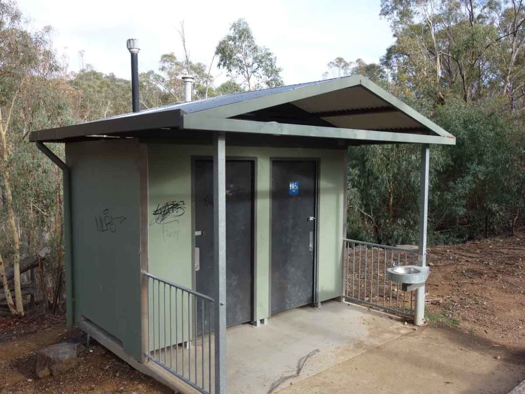
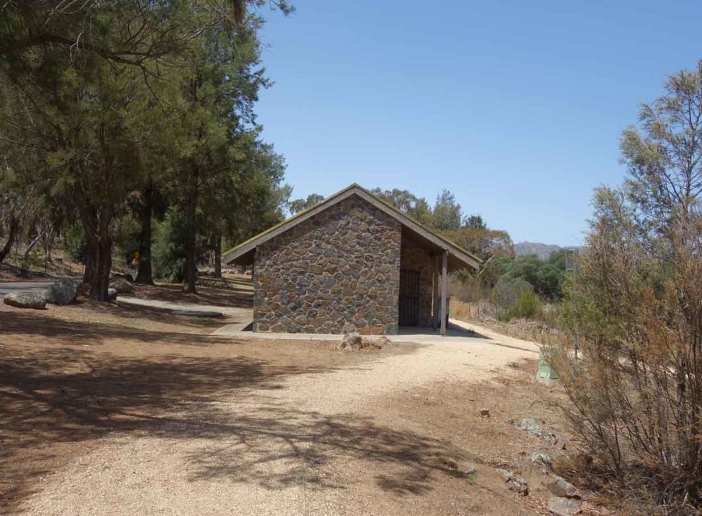
Toilet facilities at Kambah Pool
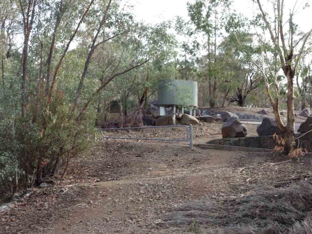
Water tank at Kambah Pool
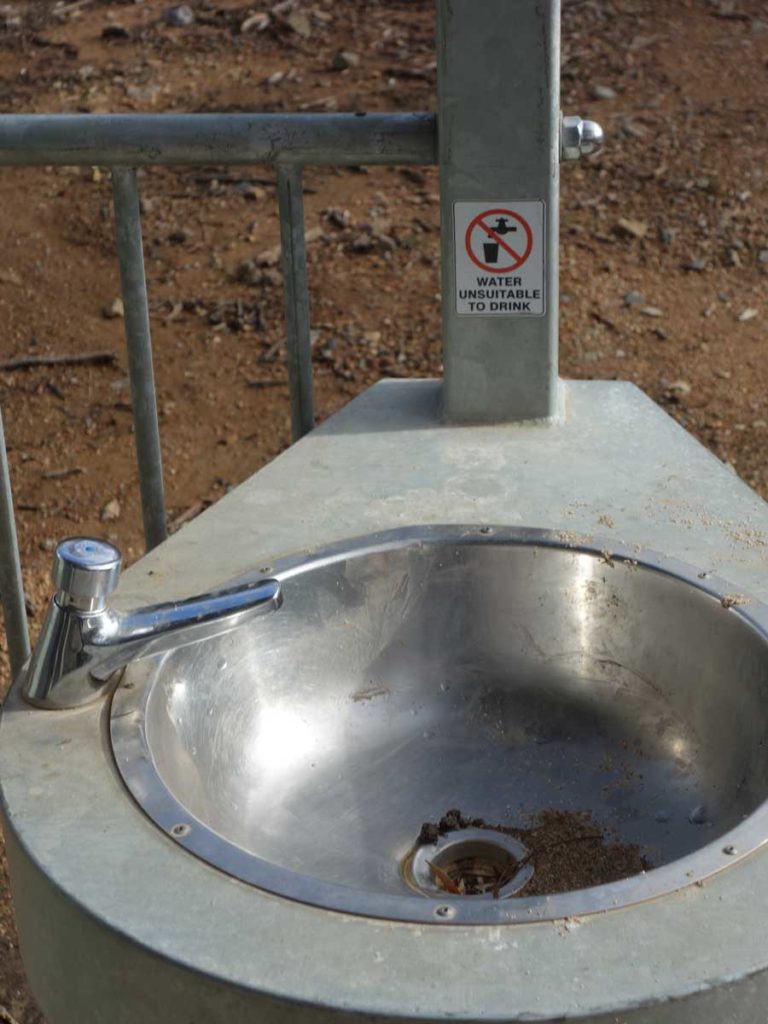
Water source at Kambah Pool
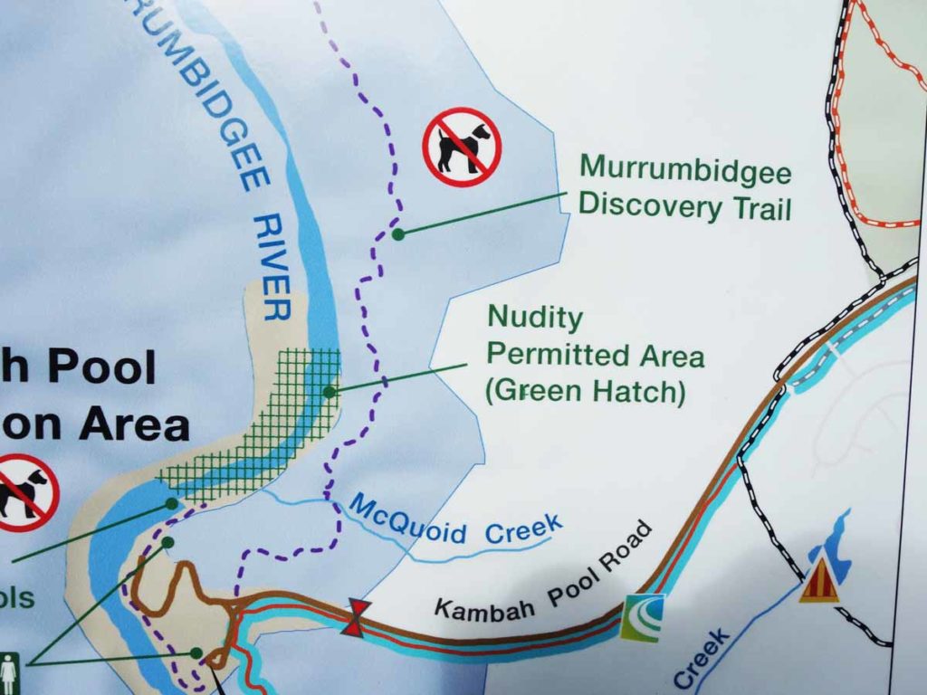
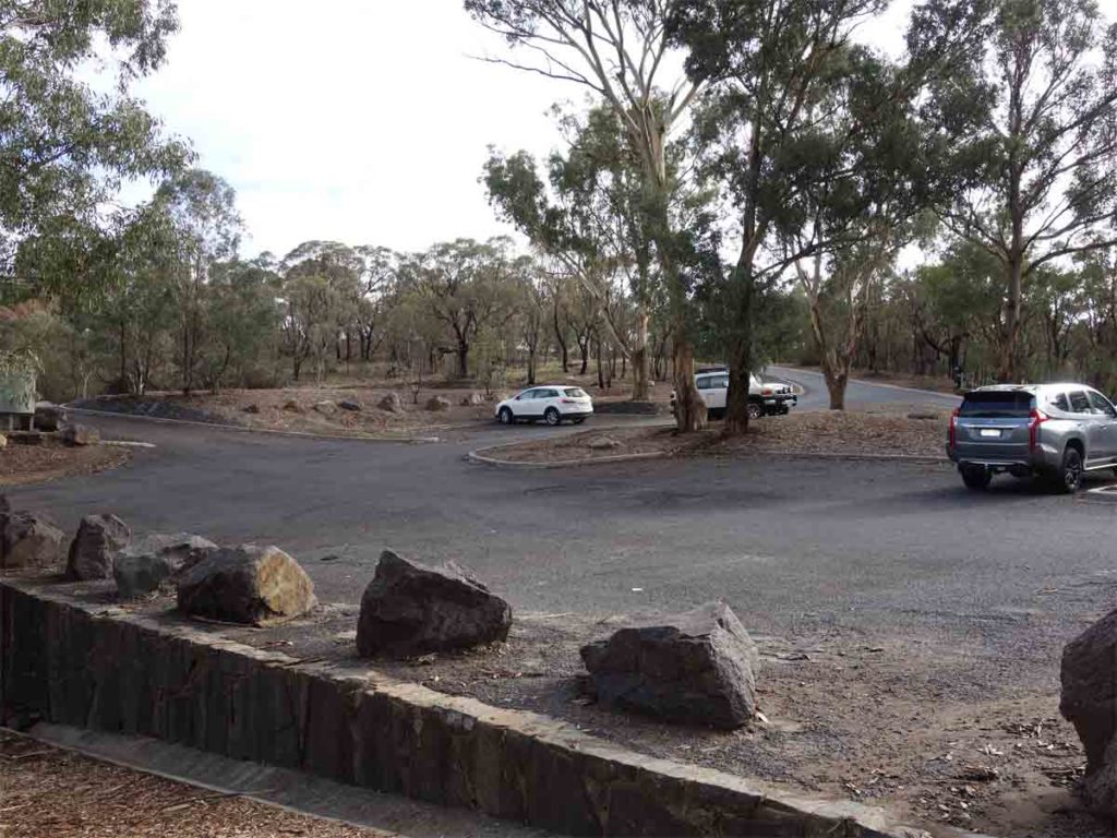
Kambah Pool site map
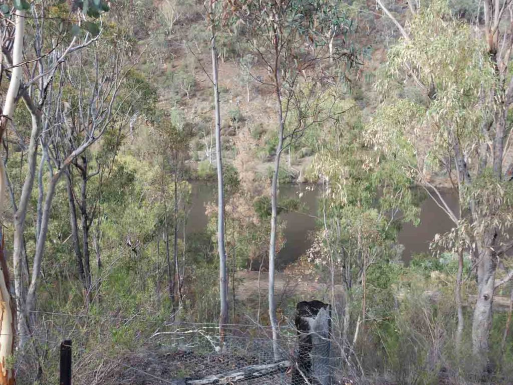
View of the Murrumbidgee River at Kambah Pool
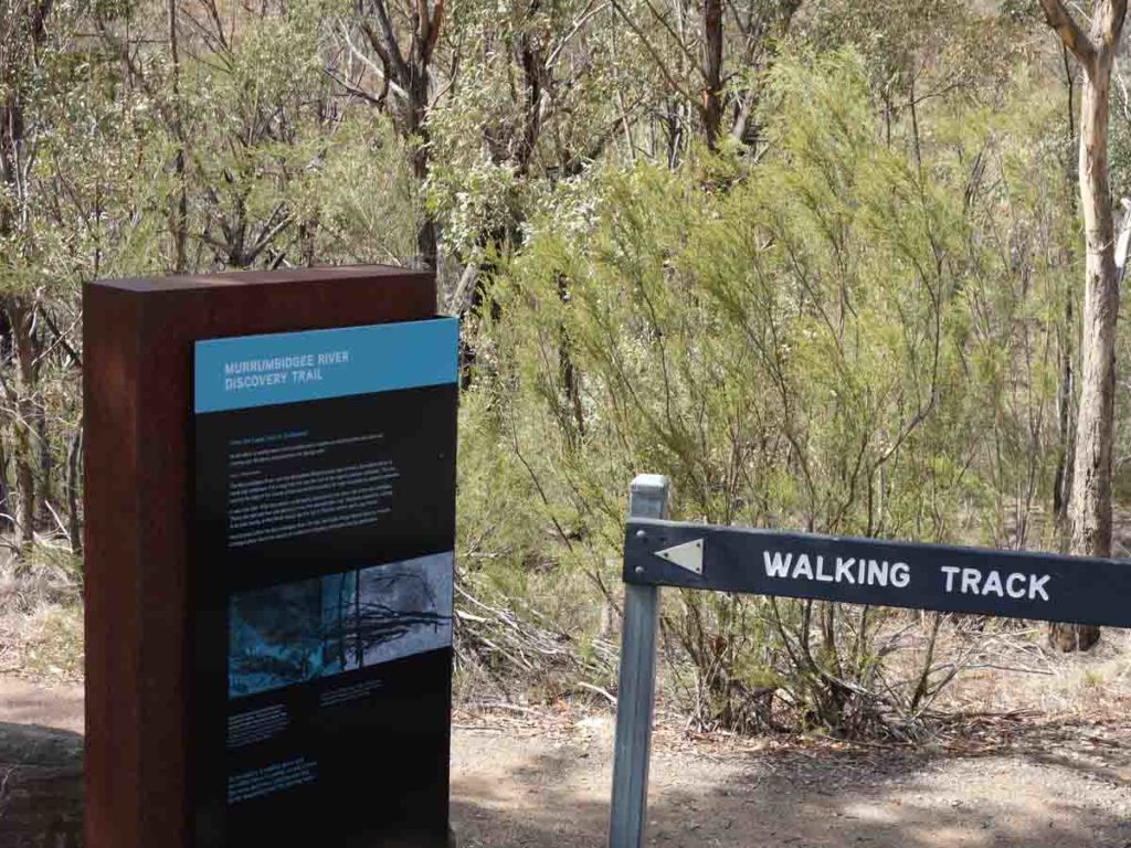
Trail head signage on the edge of the car park
Video at the car park and on the start of the trail
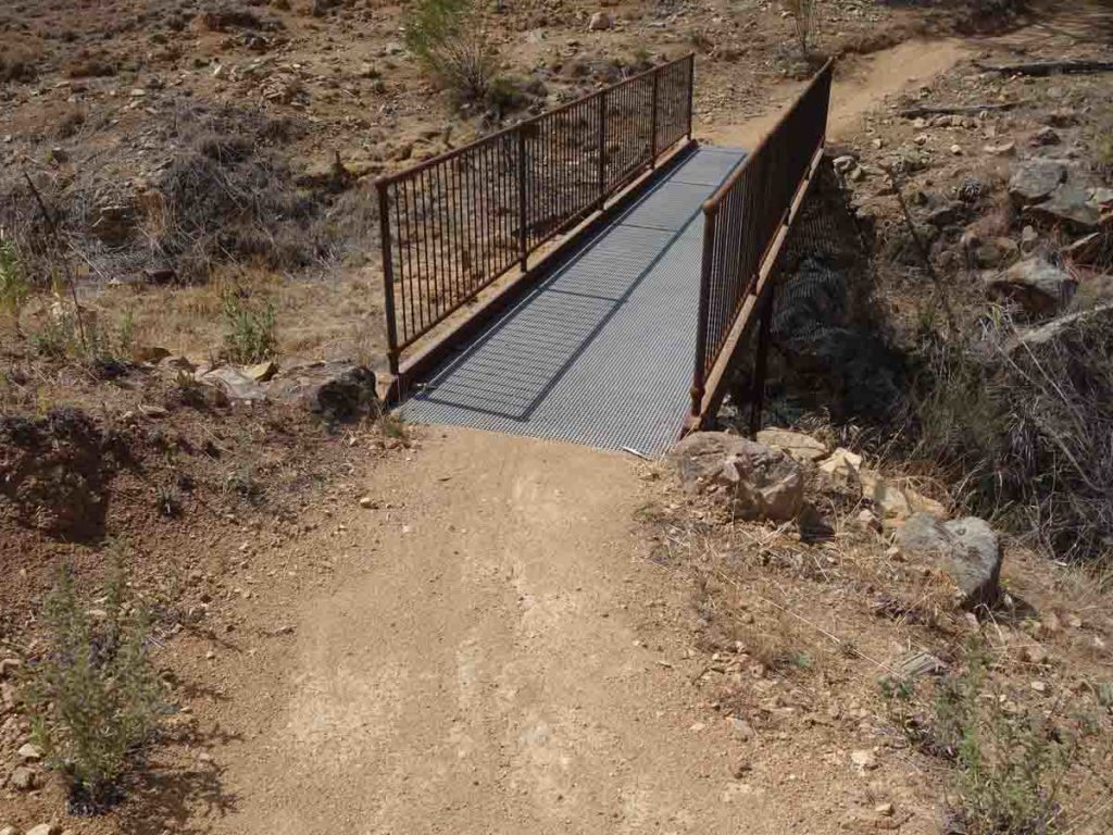
Bridge just past the trail head. Because this is a shared trail, the infrastructure is of a high grade to cater for bikes
Murrumbidgee River corridor
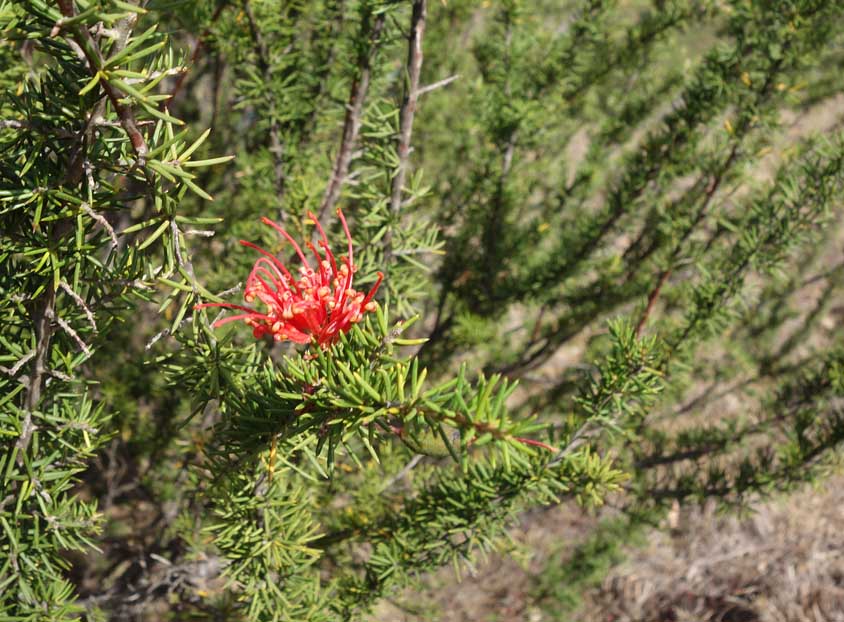
Grevillea in flower on the side of the trail

Trail marker which forms part of the Canberra Centenary Trail
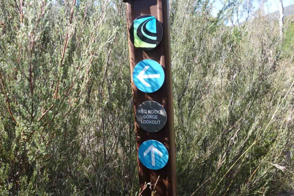
Red Rocks Gorge Lookout. Take the arrow towards the right (straight ahead) to go to the lookout. The distance is about the same for either option
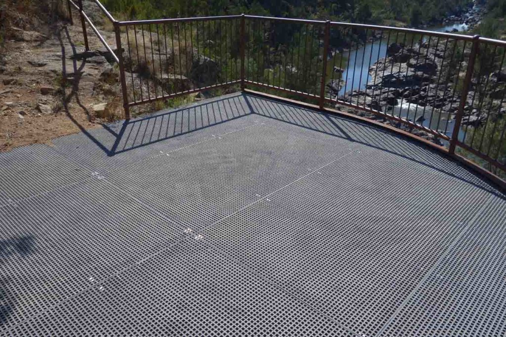
Red Rocks Gorge Lookout – the platform provides some excellent views down the Gorge
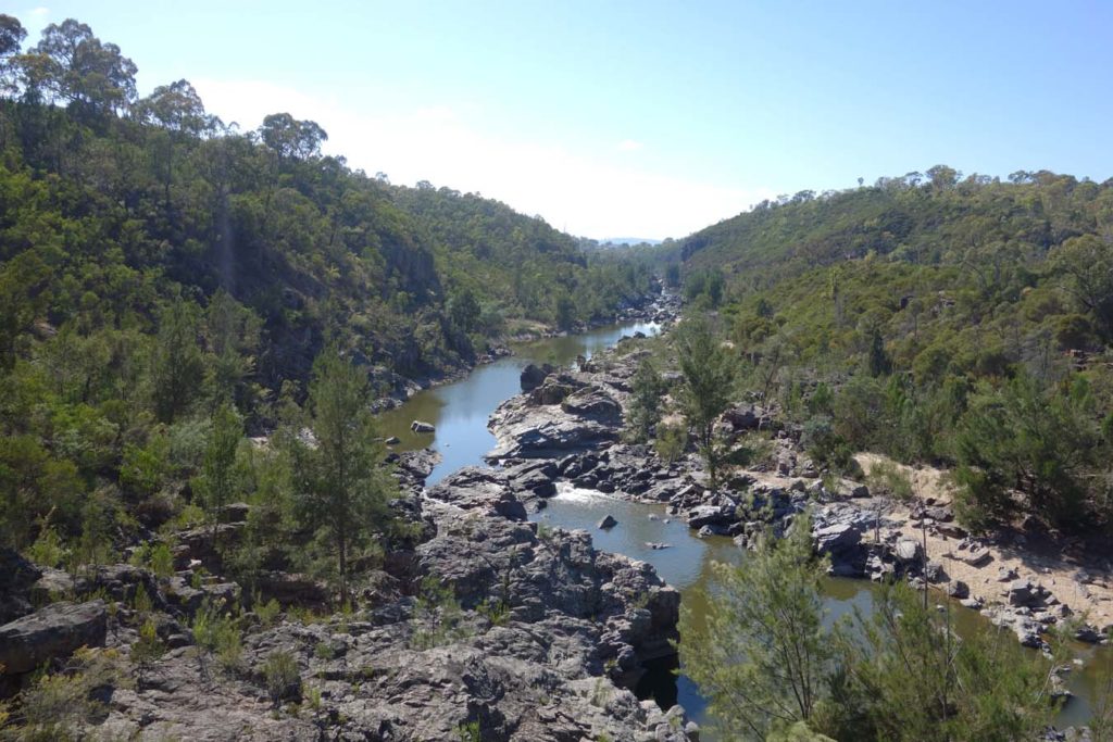
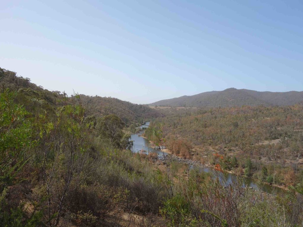
Murrumbidgee River corridor from Red Rocks Gorge Lookout
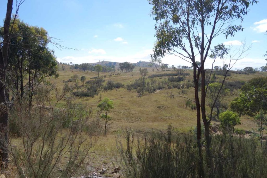
Countryside on the side of the trail

Just one of the barbecues at Pine Island
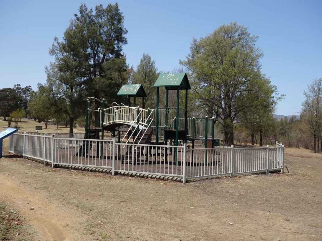
Playground at Pine Island
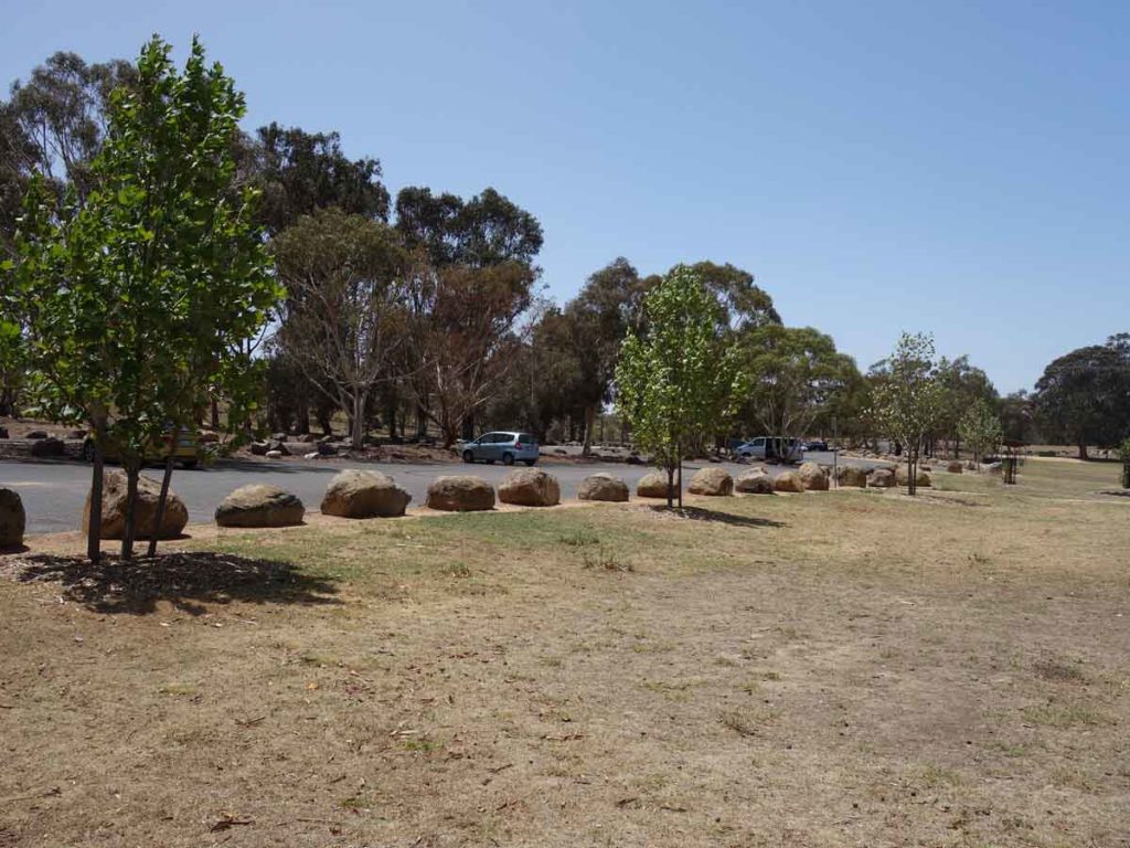
Pine Island car park
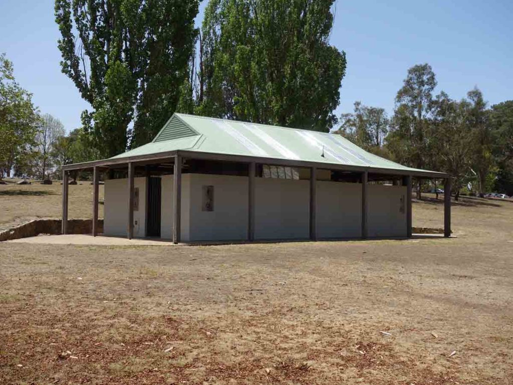
Pine Island toilets. There is another toilet block further along
Toilet block at Pine Island down near the beach access area
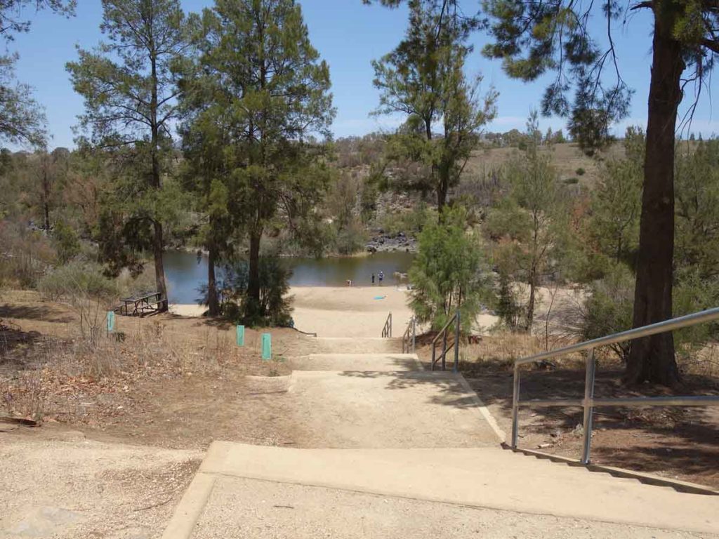
Pine Island beach access
Getting There
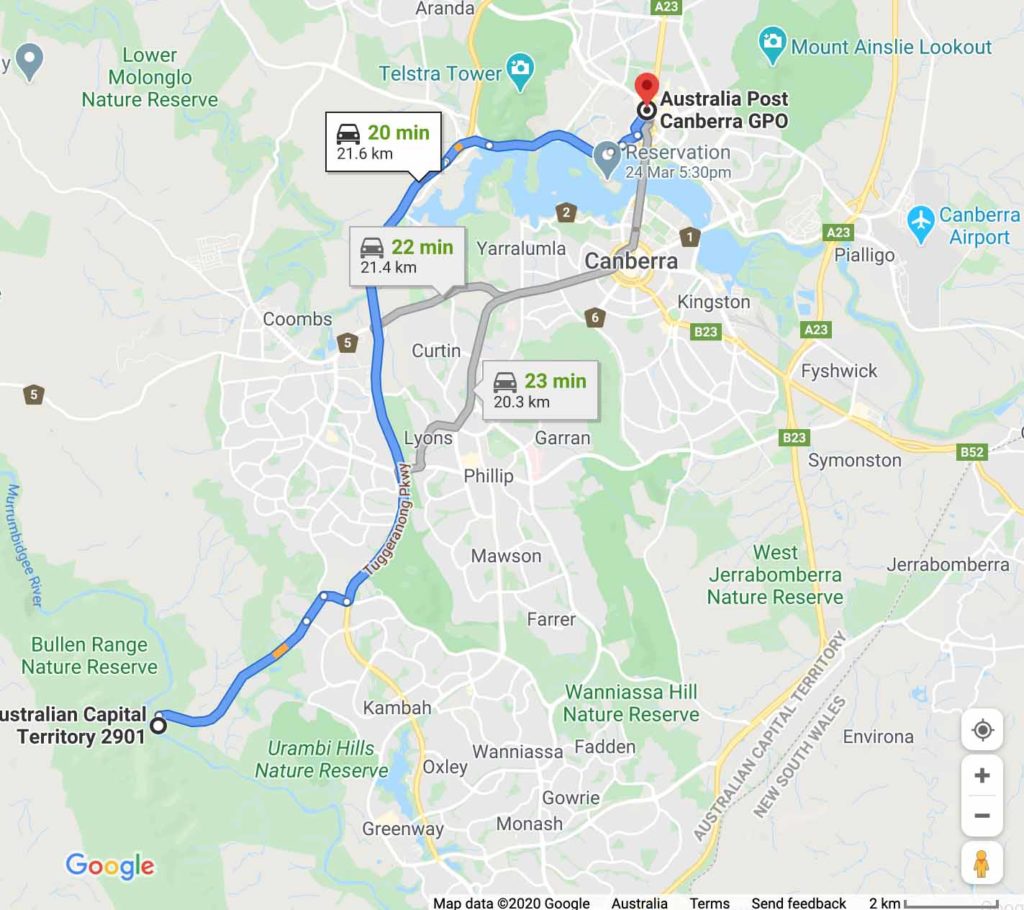
Northern trail head at Kambah Pool is around 22 km from the Canberra GPO and around a 30 minute drive
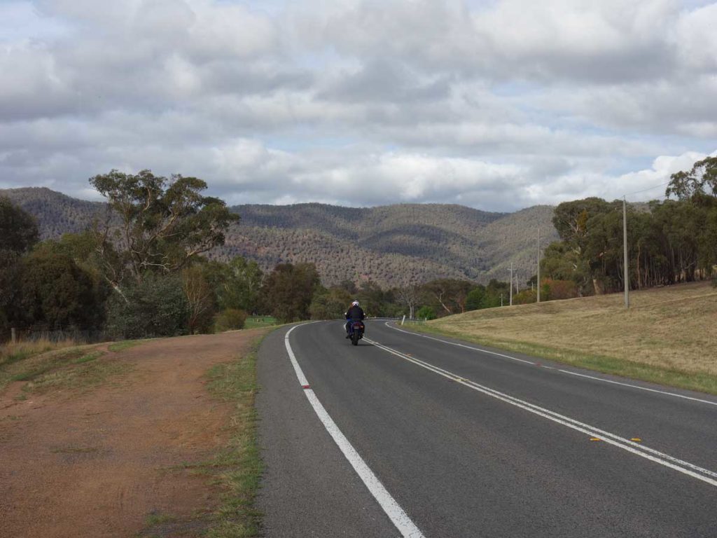
Heading towards Kambah Pool Recreation Area on the Kambah Pool Road
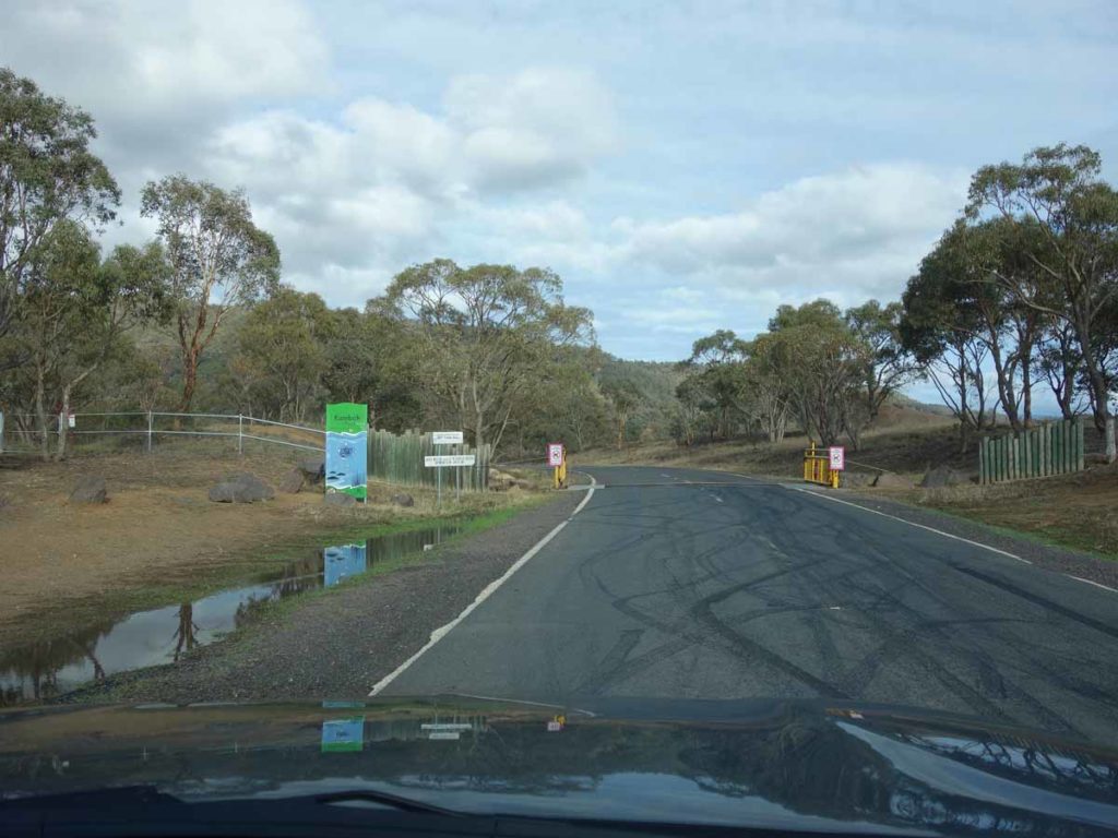
Kambah Pool Recreation Area entry
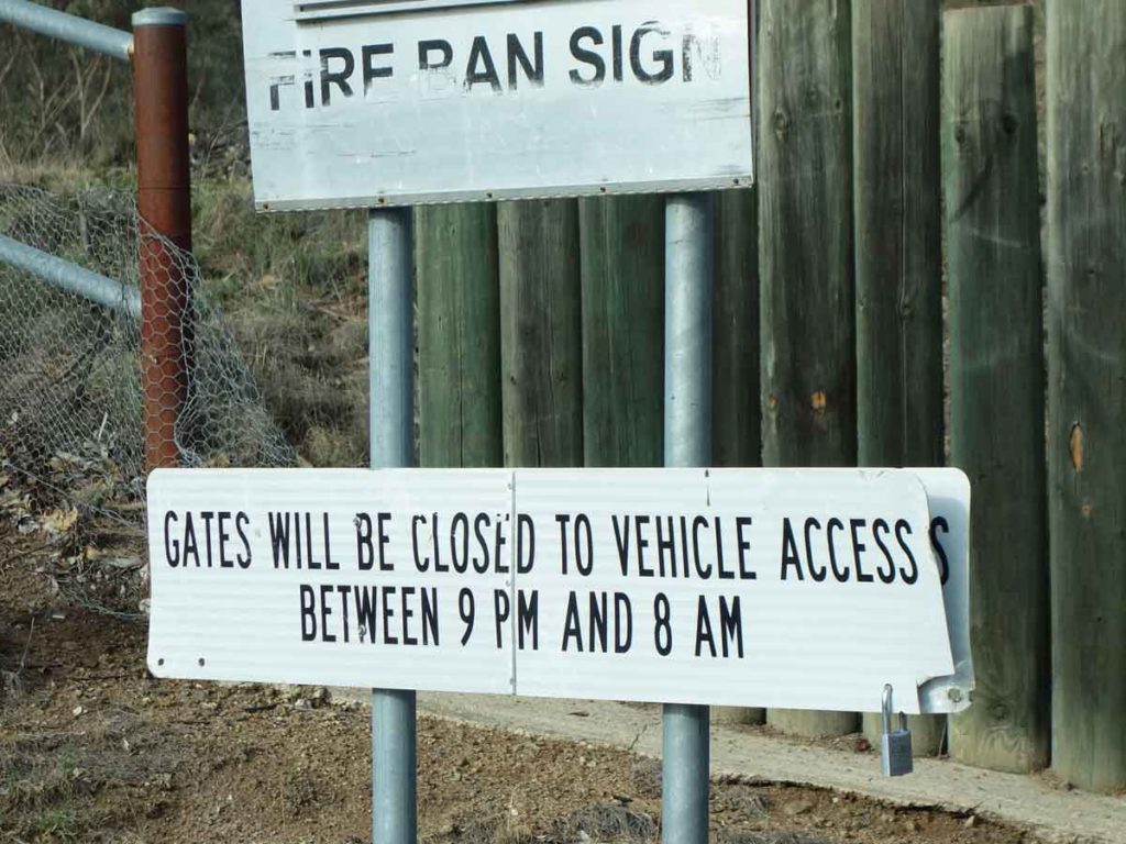
Please note the opening and closing times for the Kambah Pool Recreation Area
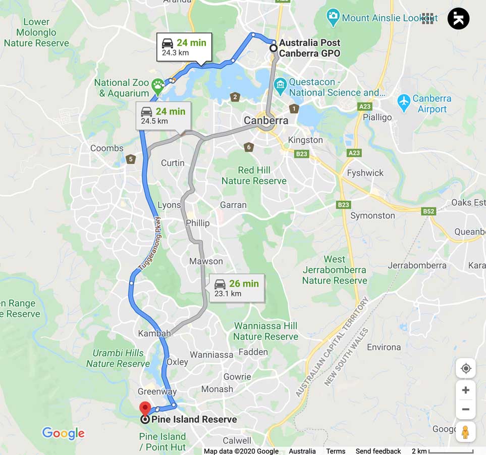
Google Maps view to Pine Island which is the southern trail head if you aren’t doing this as an ‘out and back’ walk
Things to Know
- Phone: There is variable phone signal on this trail (Telstra)
- Water: Water is available at various points along the trail from the Murrumbidgee River as well as at the trail heads but we suggest you bring a water filter
- Toilets: There are toilets at each end of this trail
- Trail: This main walk is on sealed trail. Once you go off-trail to the JC Slaughter Falls the trail becomes natural
- Dogs: No Dogs allowed
- Camping: No camping allowed
- Other:
- Bring adequate shade (hat, long sleeves etc) in the hotter months
- No camping is allowed on this trail
- This trail is popular in section so if you want a bit of solitude start early
Disclaimer
This walk was undertaken by the team from Australian Hiker