Pigeon House Mountain (5.6 km)
Morton National Park
Closest Town
Ulladulla, NSW
Starting Location
Trail Head, 26km from the Pacific Highway along management road
Finish Location
Trail Head, 26km from the Pacific Highway
Best Time to Travel
Year round, although Spring has excellent wildflowers
Pigeon House Mountain Review
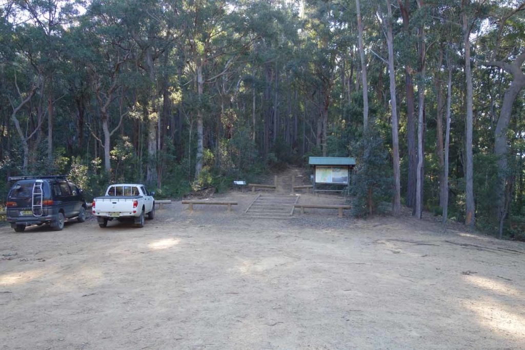
The mountain itself is visible and easily identifiable due to its distinct summit and was named by James Cook as he sailed along the east coast of Australia in 1770. This is one of the most well known and popular walks in this part of the NSW coast and I am always amazed at the number of people who do this walk on a regular basis. The car park at the trail head has room for about 40 cars and it is not unusual to have a full car park by mid-late morning on the weekends. If you want to do this walk without the crowds, at least on the ascent, then start your walk prior to 9:00am.
The elevation gain for this walk is largely in the first and last thirds of the trail with the middle section being relatively easy. The trail is well formed and there are steps where required. Even after heavy rains there are only a few small sections that tend to pool and become muddy.
I have been doing this walk for over 30 years however my most recent walk was my first time in the Spring and I didn’t realise what I had been missing out on as the sheer amount of flowering plants was amazing. In addition, the views from the top of the lookout are the best along this section of the coast, which is no wonder that this mountain was so easy to spot from the ocean.
WARNING: This walk is graded as a ‘4’ mainly due to the summit. To reach the summit you will be required to climb a series of steep metal steps and ladders. While the steps and ladders are not overly exposed, if you have a fear of heights, or poor fitness you may wish to stop short of the summit. Its worth noting that there have been changes and upgrades since the 2020-21 bushfires.
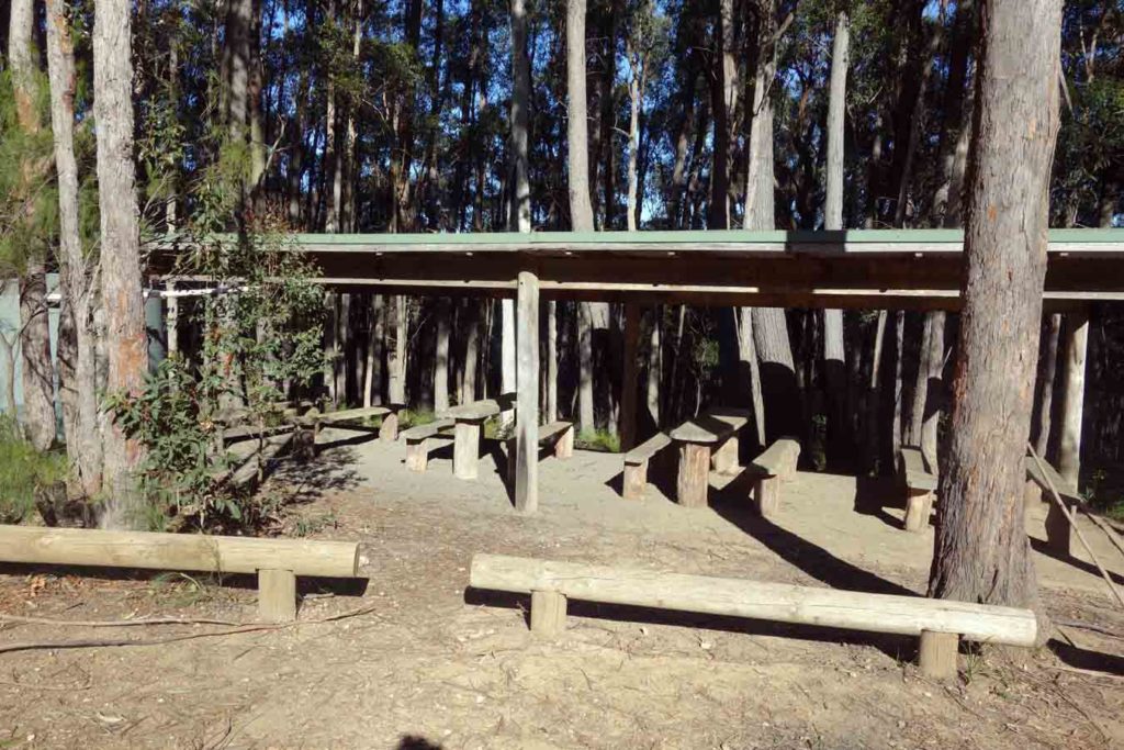
Picnic facilities at the car park
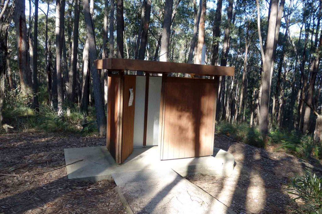
Toilet facilities at the carpark
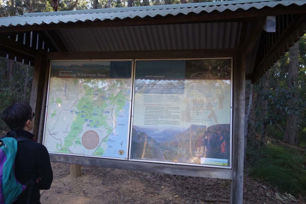
Trail head sign
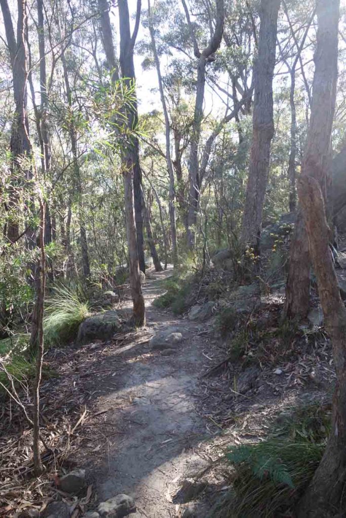
Example of the pathway
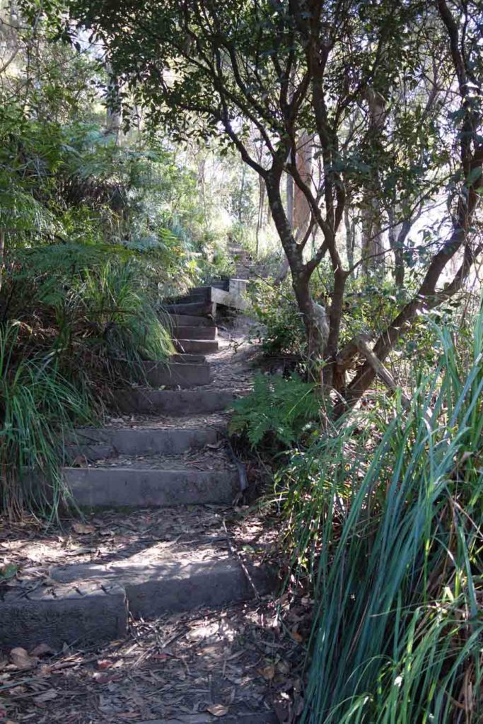
Another section of the path
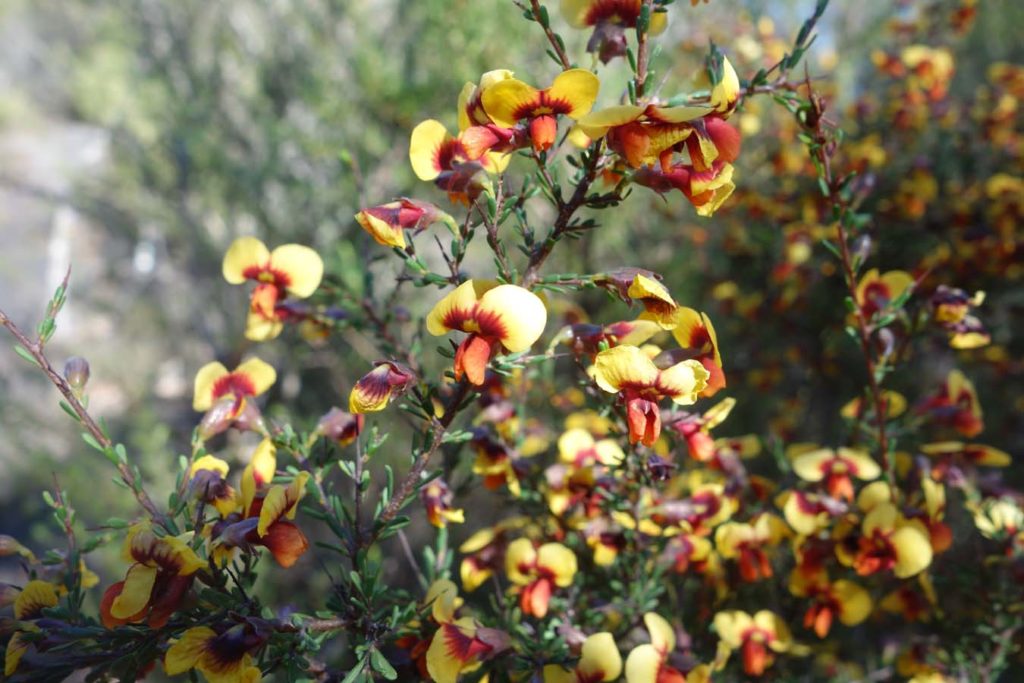
This trail is truely spectacular in Spring
More wildflowers
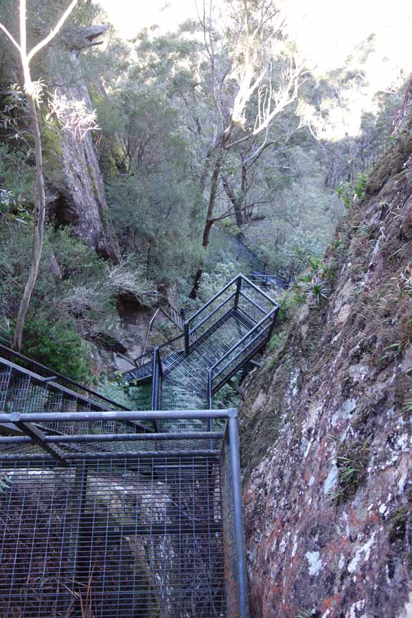
The main stair section towards the summit. These stairs are well built but are combined with ladders and need a degree of fitness
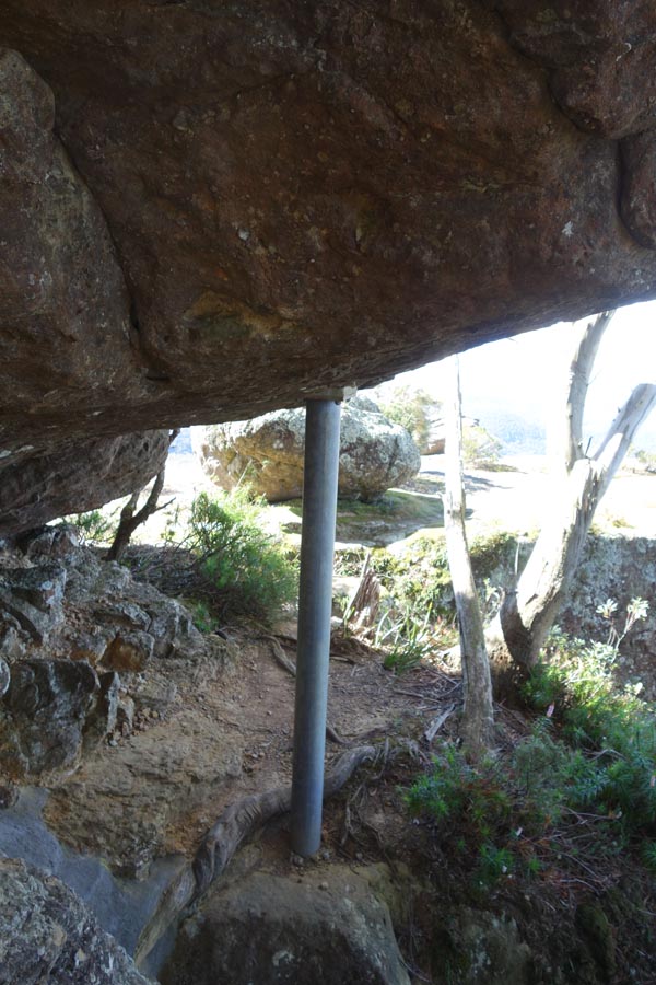
Its always a worry when they have to support hanging boulders
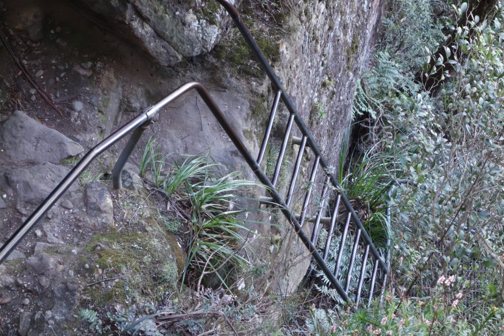
Metal ladder near summit
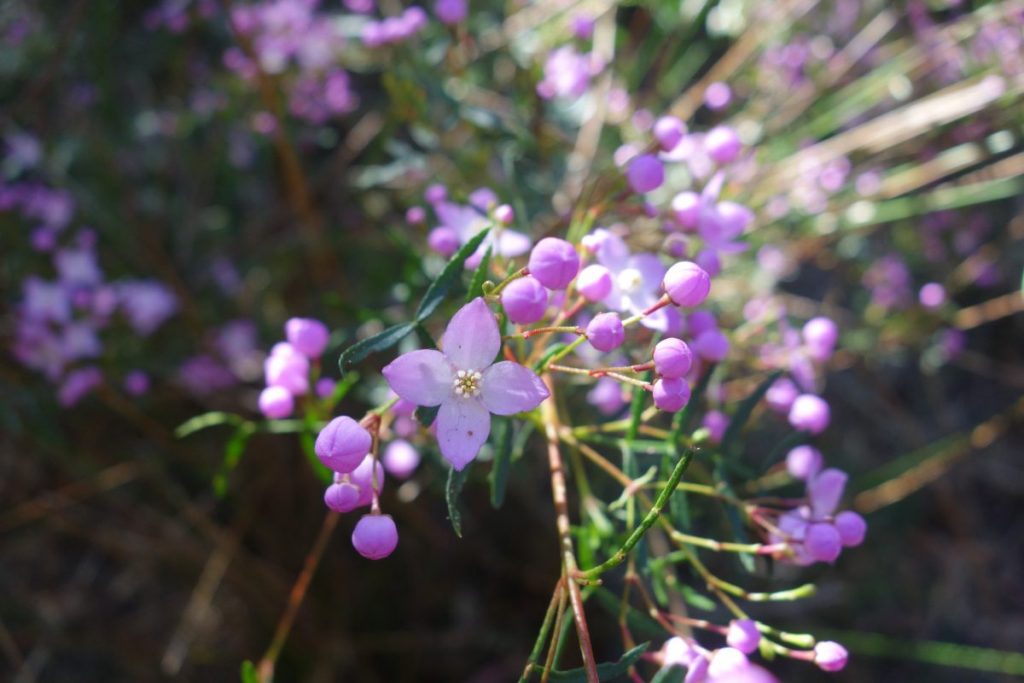
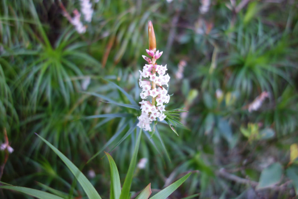
Boronia in flower on the trail
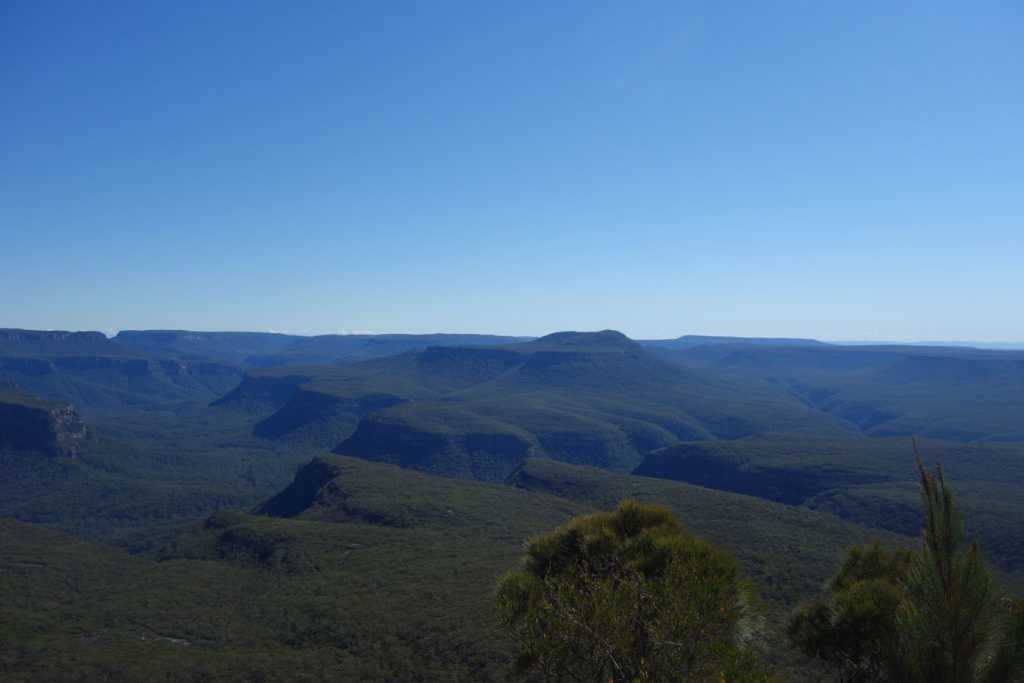
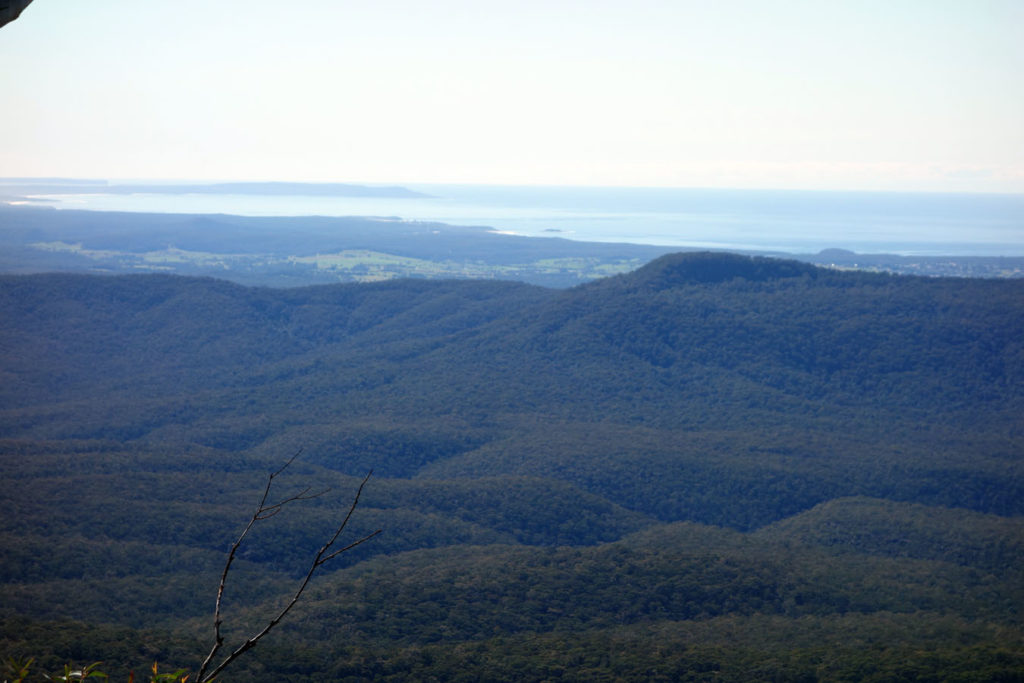
Views from the summit into the bushland and down to the coastline
Getting there
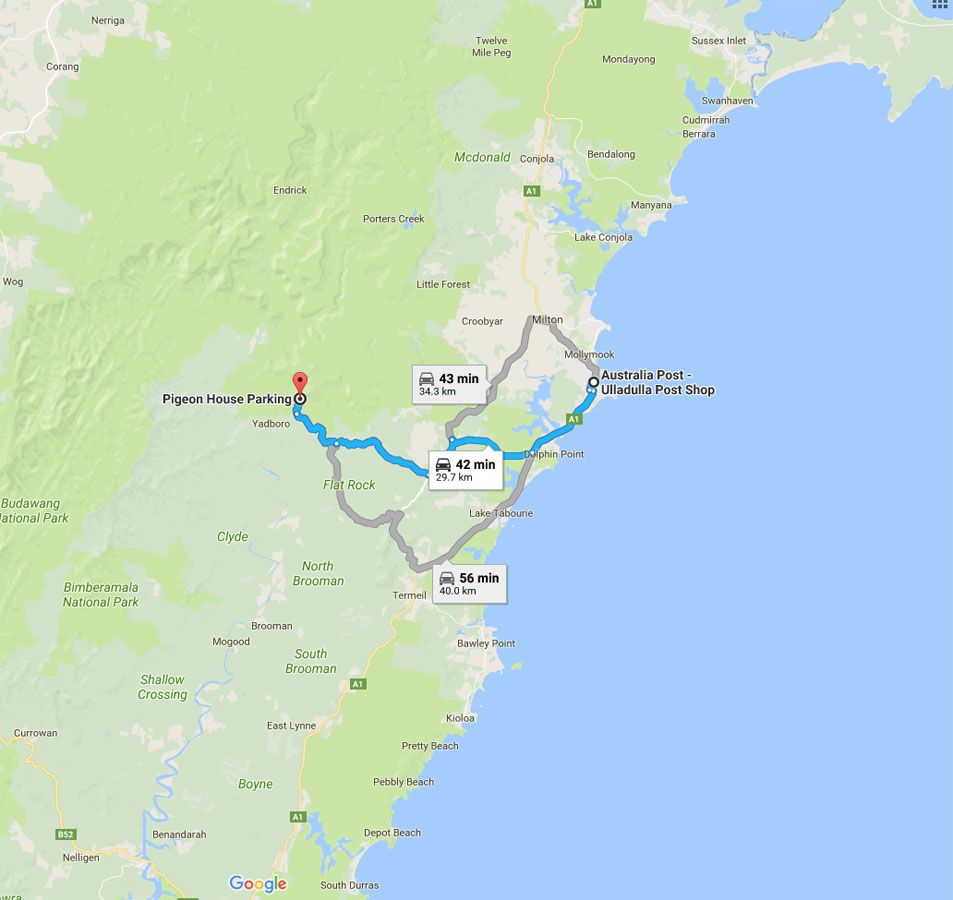
If coming from the south, travel 33km north from Batemans Bay and turn left onto Monkey Mountain Road, which is approximately 1.7km past Termeil (the most obvious landmark is the roadside service centre).
If coming from the north, Monkey Mountain Road is approximately 18km south of Ulladulla.
The road to the trail head for Pigeon House Mountain is approximately 26km off the highway and is well signposted. However much of the road is unsealed and the conditions are variable. In wet conditions the trail head should only be accessed by 4WD/AWD vehicles. I would not recommend taking cars with low ground clearance unless the road has been recently graded.
Things to Know
- If there have been heavy rains you will need a car with high ground clearance as the road can deteriorate quite badly
- The stairways and ladders at the summit are nor for the faint hearted
- This walk is spectacular in Springtime
Disclaimer
This walk was undertaken by the team from Australian Hiker
Last Updated
20 July 2026