Mount Budawang Walking Trail NSW (8.5 km)
NSW
Nearest Town
Braidwood, NSW
Starting Location
Mount Budawang trailhead
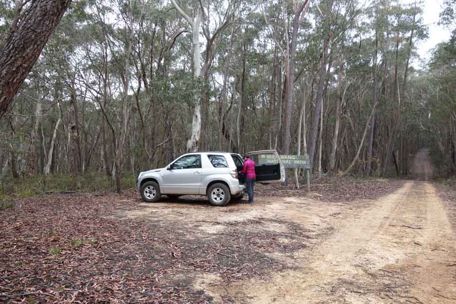
Blink and you’ll drive past the car park. There is no formal signage to say you have arrive only a sign for the National Park. There is room for about four cars but extra cars can park along the road if needed. if you travel an extra 50 metres you will reach a locked gate and will have to reverse back down the road
Finish Location
Mount Budawang trailhead
Best Time to Travel
During the warmer months or if travelling in Winter, do it in the afternoon otherwise you may not have a view at the summit
Mount Budawang Walking Trail Review
The biggest worry for us before the start of this trip was getting to the trailhead however it turned out to be relatively straight forward. Having said that the directional signage expects you to be a bit trusting and the on-trail signage is almost non existant to the point that apart from a couple of random trail indicators and a Budawang National Park sign, there is nothing to indicate you are on the Mount Budawang Walking Trail. Once we decided we were in the right place the rest of the walk is fairly straight forward and just requires you to follow the management trail to the summit. Usually I’m not a fan of doing walks on management trails as I find them a bit hard on the feet but this trail is different. While it is a management trail it is probably best described as a very wide walking track and it just had that ‘comfortable’ feel about it, due mainly to the surrounding vegetation.
This trail is very uniform and apart from a small section at the start and another section just before the summit it is a steady incline the entire way up. The information on the NSW National Parks website says this trail is 8 km long and will take you about 7-8 hours as a return walk. It was for this reason we opted for a relatively early start to the walk and after a two hour drive from Canberra to the trail head (including a coffee break in Braidwood) we started our walk around 9:30am (a mistake which I’ll go into in a minute). Usually the parks services allows a fair degree of leeway on the time to cater for non walkers but the suggested 7-8 hour walking time is very excessive with our entire walk including 25 minutes at the summit taking under 2.5 hours. If you are a reasonably fit walker this timing shouldn’t be too difficult. If the weather is good, plan on spending time at the summit taking in the views both to the coast as well as the surrounding mountain ranges.
On the previous days in this area there had been some light rain and the temperatures were a bit cool for this time of the year and as a result we were surrounded in mist for almost the entire walk. I love walking in misty conditions as it creates that sense of otherworldlyness to which the large trees and ferny vegetation contributed. Even in mid Summer much of this trail would have shade. We reached the summit at around 11:00am in the morning and pretty much had a white out, so no views.
Even though we missed out on the views at the summit there were plenty of wildflowers and other very interesting small bits and pieces on the walk up which kept me happy taking macro shots. It was a good walk but I would recommend you walk this during the hotter part of the year, or if doing it in the cooler months start around lunchtime to ensure the best chance of those great views.
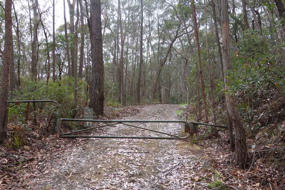
Walk up the hill from the car park about 50 metres and you will come to a vehicle barrier which is the start of the trail
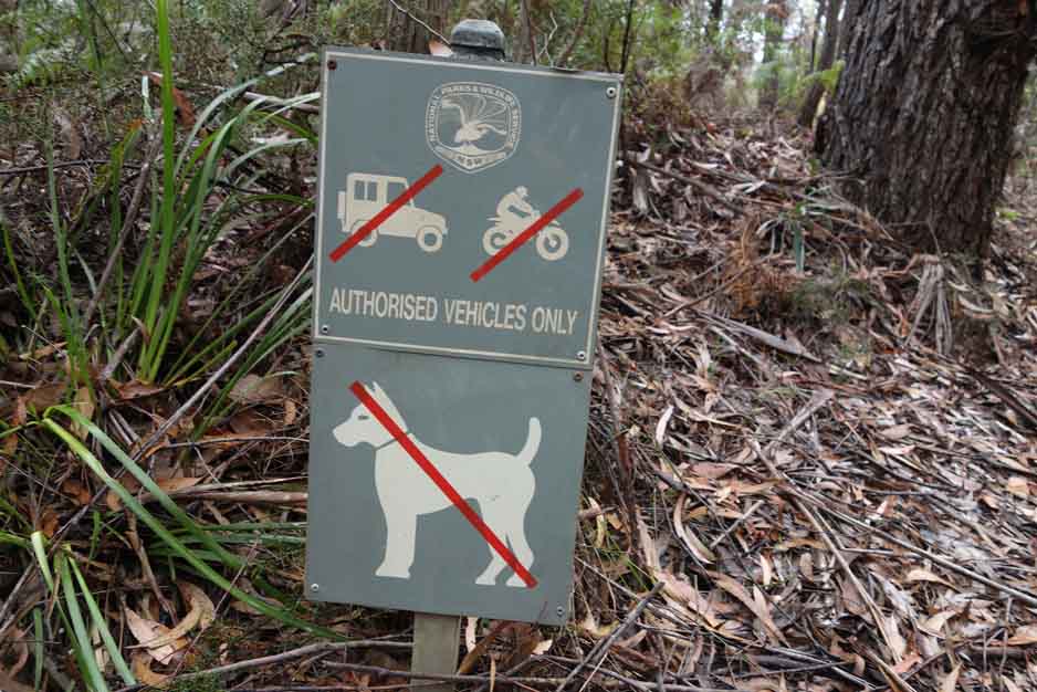
Apparently you can’t bring terriers on this trail 🙂
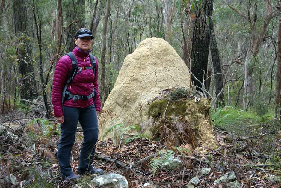
The odd termite mound dots the landscape
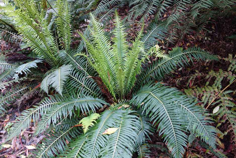
Blechnum ground fern
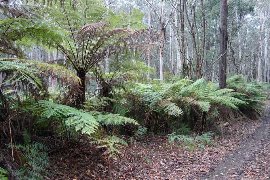
Tree ferns near the start of the trail
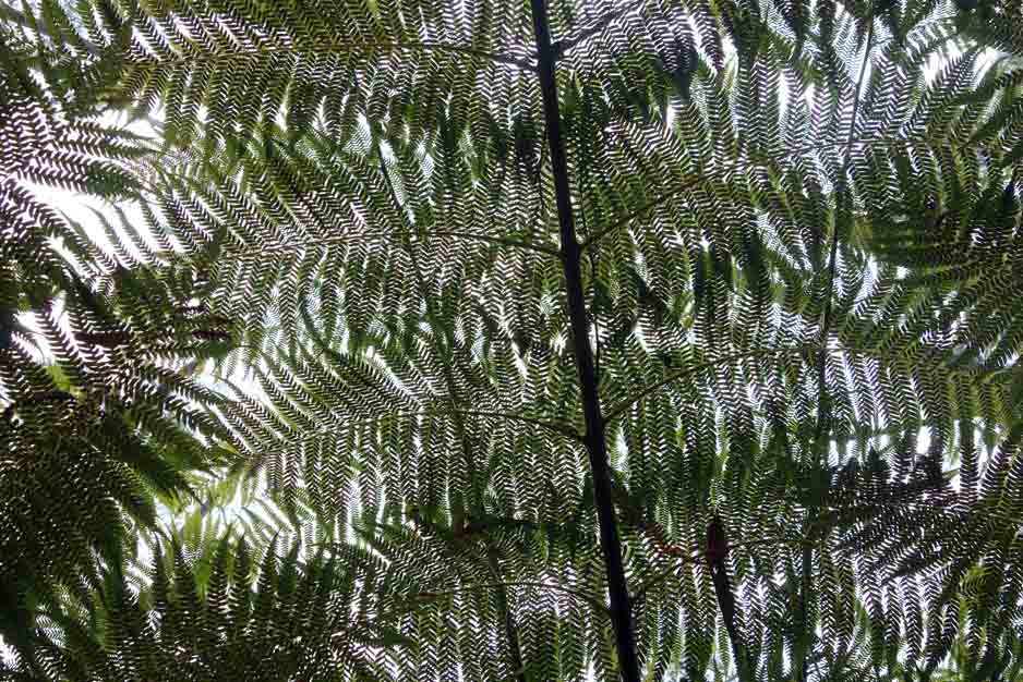
When the visibility is poor look for the small stuff
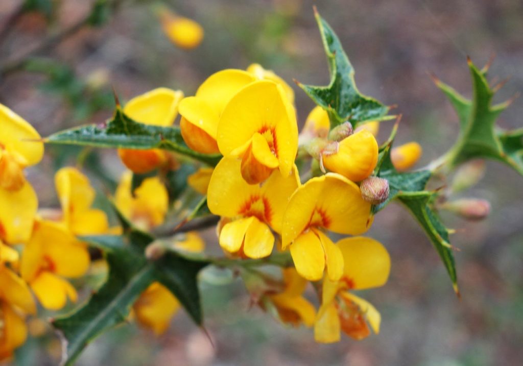
Native Pea
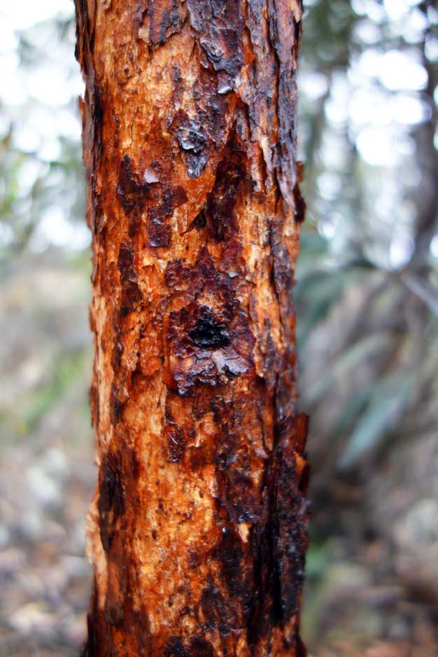
This bark stood out on this trail and this was the only example that caught my attention. No this photo hasn’t been touched up it really was this colour
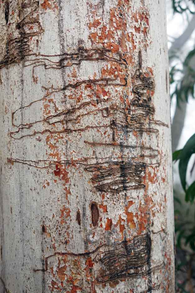
Scribbly gum
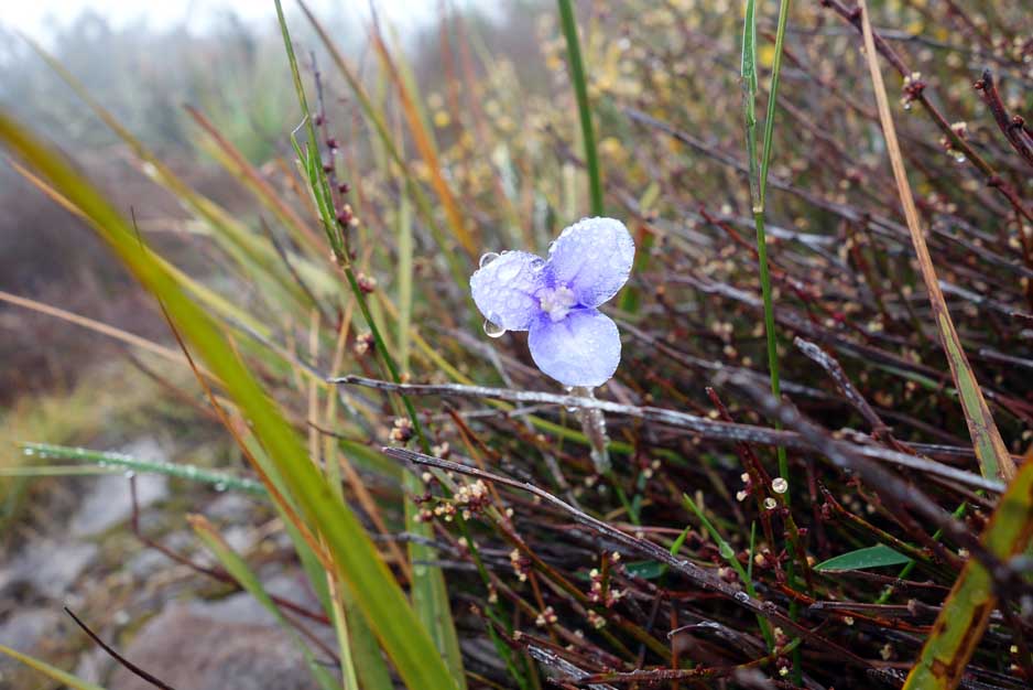
Purple wildflower
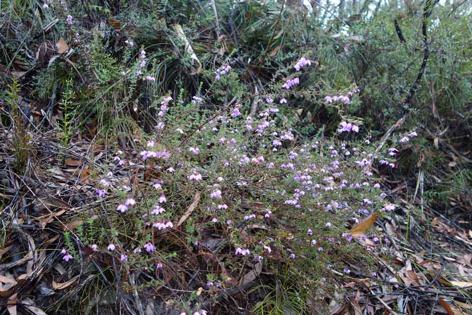
Native Dog Rose
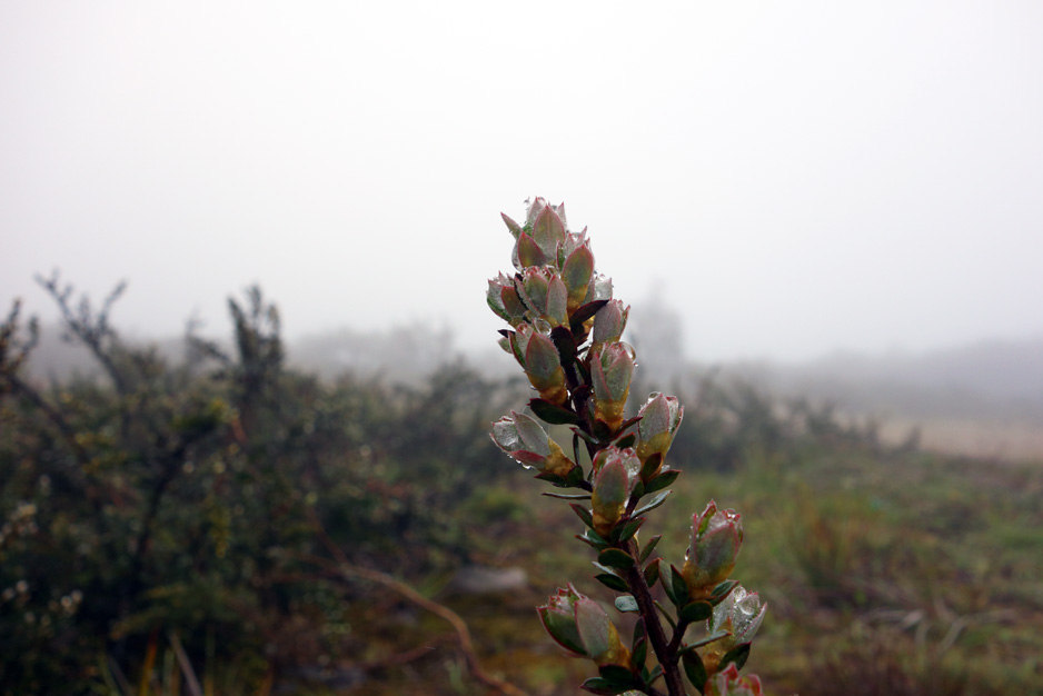
Water can create interest where dryness can go unnoticed
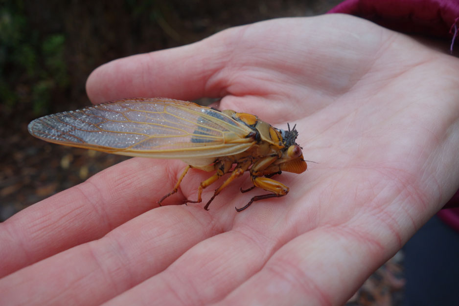
Dead but interesting cicada
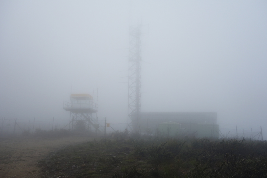
View at the summit. This photo was taken in early November at 11:00am an the temperature was 11° celsius. The summit was still covered in cloud at around 12:30 when we left
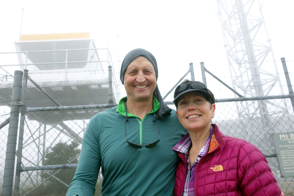
Tim and Gill at the summit. The sunglasses are just to look cool because there certainly wasn’t any sun around on this day
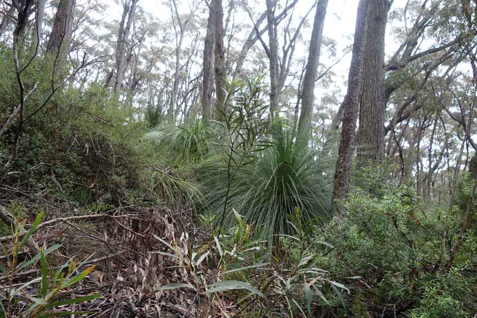
There is a huge variety of plants on this trail so even when the views aren’t great this trail will keep you interested
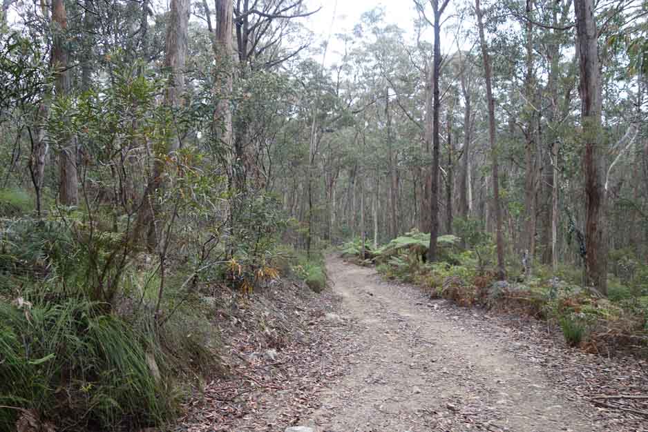
On the way back down
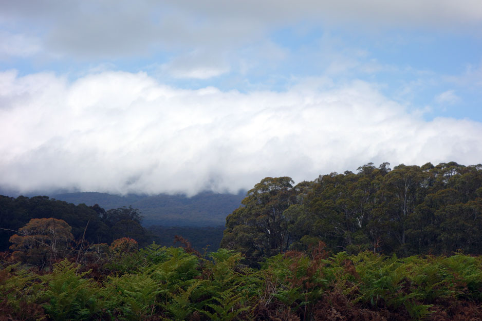
Mount Budawang somewhere behind the cloud bank at around 12:30pm
Getting There
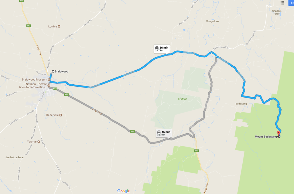
This trip took about 2 hours from the centre of Canberra to the Mount Budawang car park including a coffee break in Braidwood. From Braidwood to the trailhead is around 30 minutes
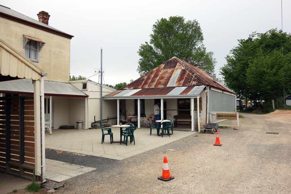
Dojo Bakery in Braidwood is one of the best bakeries in this region. Its well worth a visit but it closes at 1:00pm. They do excellent coffee, great venison sausage rolls, and a salted caramel slice to die for! The Dojo Bakery is down a small alley on the left side of the road just after you go over the pedestrian crossing in the centre of town
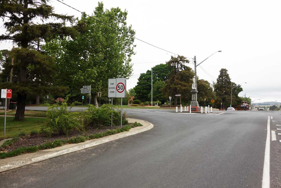
As you come into Braidwood turn left at the War Memorial (or better yet visit Dojo Bakery first)
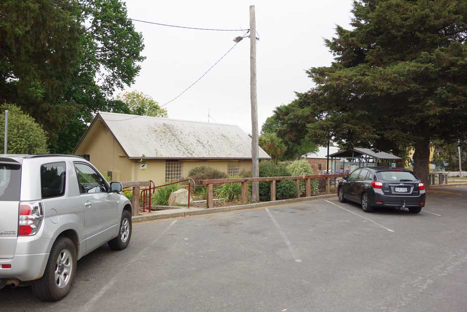
Just after you turn at the War Memorial into Wilson Street there is a park and toilet facility on the left. Continue on Wilson Street which changes into Little River Road for about 13 km
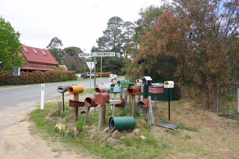
Turn right into Clyde Street. Just keep an eye out for all the letter boxes. About 600 metres after you turn onto Clyde Street turn left onto Budawang Road. The rural first service is on the left
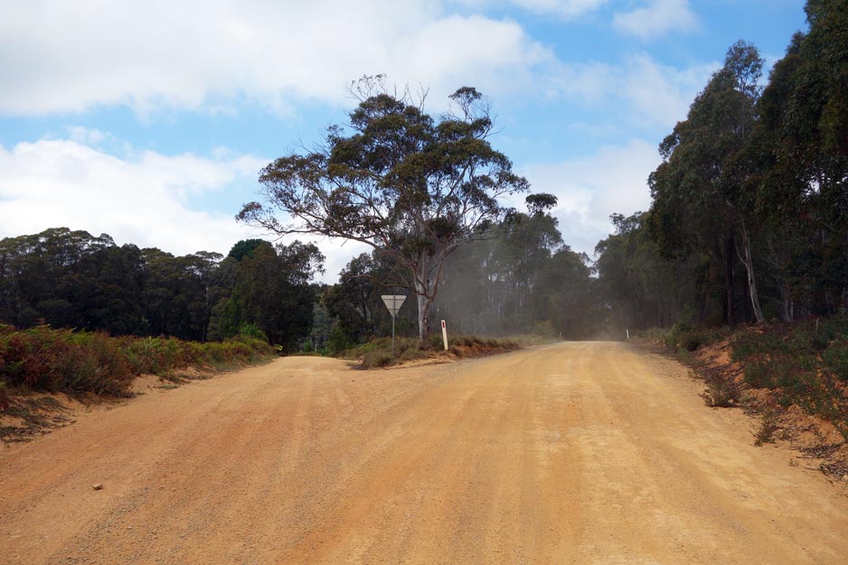
Keep to the right at this branch
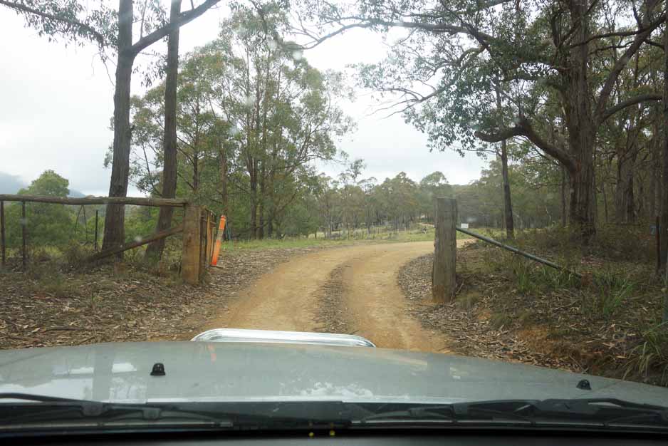
Go through the first gate. Leave the gates as you find them
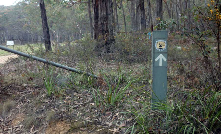
Look for these signs. Although it doesn’t say it, this is the way to the Mount Budawang trailhead
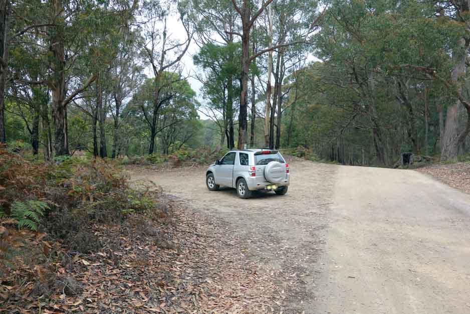
Turn left onto Mount Budawang Road about 4 km after the last turn. There is an arrow here that is just visible over the roof of the car
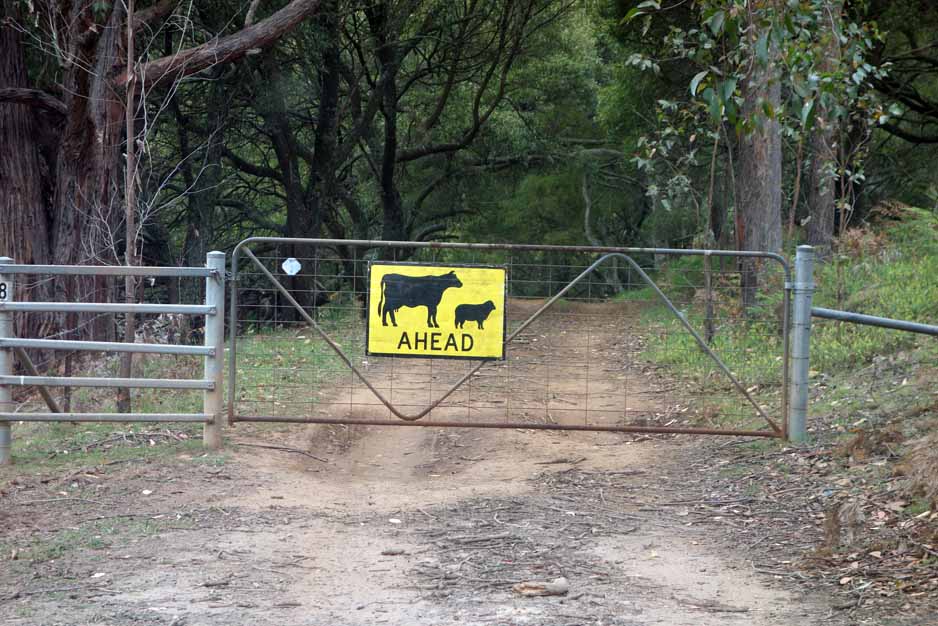
Gate number 2
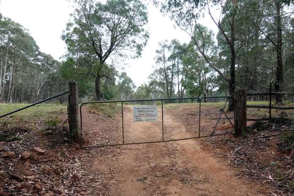
Gate number 3

The car park
Things to Know
- Once you start walking the trail signage is almost non existent but if you stick to the management road to are on the right track
- Mobile phone signal is intermittent on this trail and is really only available at the summit
- The weather can be variable so come prepared
- Leave the gates as you find them
- In cooler weather start the walk around midday to ensure good views
- Access to this site is relatively easy however be aware that your vehicle will need to have good clearance off the road and after heavy rains you will need a 4WD
Disclaimer
This walk was undertaken by the team from Australian Hiker