East Gippsland Rail Trail VIC (106km)
Rail Trail
Starting location
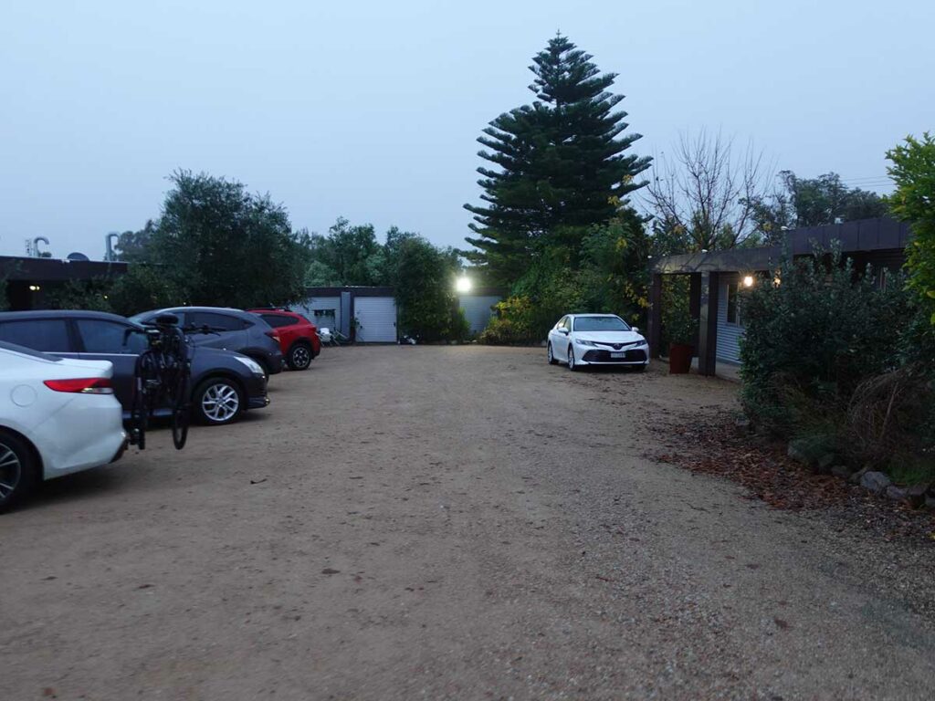
Orbost Motel, Victoria – my starting point for this hike and where I left my car during the walk
Finishing location
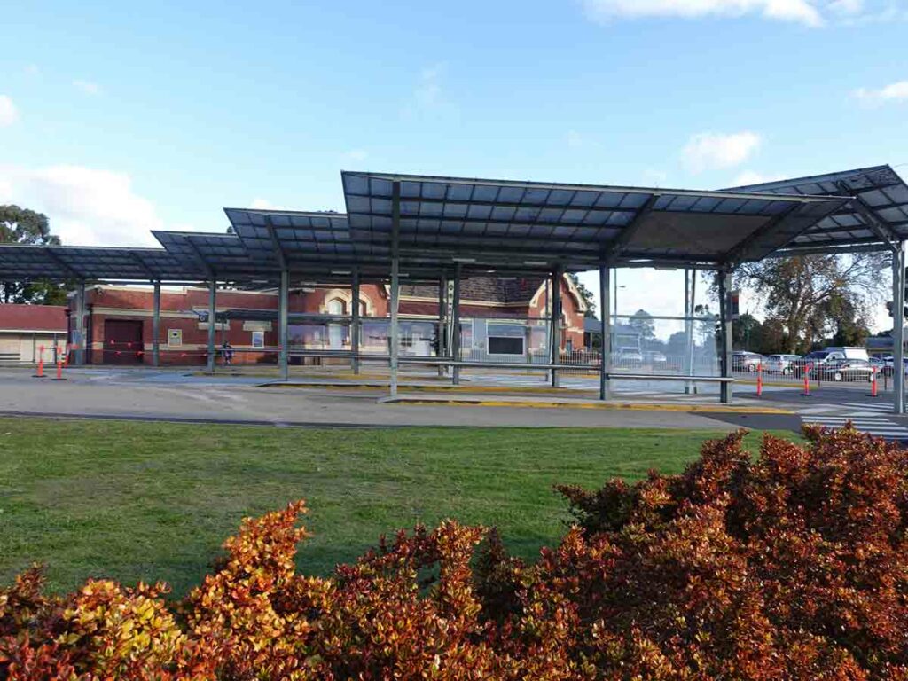
Bairnsdale Train-Coach Station, Victoria
Best time to travel the East Gippsland Rail Trail
Year round
This walk sits between coastal Victoria to the east and the mountains in the west. While this area tends to avoid the weather extremes, it can still get below zero in winter and very hot during the summer.
Summertime temperature averages
- Maximum 26°C
- Minimum 13°C
Wintertime temperature averages
- Maximum 14°C
- Minimum 8°C
Map
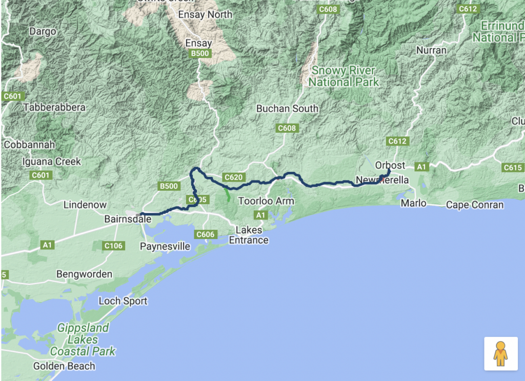
Rail Trail location – image from Rail Trails Australia website

This image shows the change in elevation over the four days on the East Gippsland Rail Trail (source: Rail Trails Australia Guidebook)
- Maximum elevation – 129 metres
- Minimum élévation – 9 metres
- Total grade – the gradient for train tracks is usually around 1:40 or better so while this image shows the track goes up and down, the change in elevation is so gradual for walkers you don’t notice it
Trip Podcasts
If you want some additional information have a listen to the series of podcasts on this trip:
- 219-Rail TrailsIn this podcast episode we catch up with Damian McCrohan from Rail Trails Australia to find out all about Rail Trails and what you’ve been missing if you haven’t added rail trails to your hiking adventures (podcast length is 30 minutes)
- 220-East Gippsland Rail Trail here I come!This podcast episode is the first of three for this trail. We look at my pre trip expectations and discuss logistical issues prior to starting (podcast length is 62 minutes)
- 221-East Gippsland Rail Trail Interviews from the trailIn this podcast episode I bring you a series of on-trail recordings from my four day trip on the East Gippsland Rail Trail. These recordings provide you with an overview of my trip, how I was feeling and the things I was seeing in real-time as I progressed which provides some insight into this very different hiking adventure. The next episode, episode 222, compares my pre trip expectations and the how reality matched up (podcast length is 22 minutes)
- 222- East Gippsland Rail Trail expectations versus realityThe final episode of this series is due for release on Wednesday 15 June 2022
Why a rail trail
I’ve had rail trails on my list of hikes for a number of years but had no real plans to do one anytime soon. That was until my plan to finish the last section of the Hume and Hovell Track couldn’t progress due to work being carried out on the trail. So a few weeks before my start date, I had to scramble for a replacement hike. I began the search for a trail of around 100 km in length that didn’t require a big travel commitment to get to and from the trailhead. The chosen option was a rail trail and after reviewing several trails, I decided on the East Gippsland Rail Trail in Victoria.
The Lead up
In the weeks leading up to the start of this walk, the information provided in the guidebook from Rail Trails Australia was helpful and indicated the most complex aspect of this walk was getting to the trailhead. I initially thought I’d fly to Melbourne then get a train to Bairnsdale, then a coach to Orbost to start the trip. However, this plan would have required almost a full day of travel and then it occurred to me to just drive to Orbost. This was only a four drive and given I could leave my car at my motel, I would be able to collect it after returning by bus from Bairnsdale.
I finished work on Friday afternoon and drove through Cooma down to Orbost – pretty much taking the four hours that Google Maps indicated. There are a number of accomodation options in Orbost but my criteria was a hotel/motel that was as close as possible to the trail and where I could safely leave my car four days while I was walking the trail. The one I opted for gave me a direct route to the trail but did involve walking along the side of the highway for approximately 2km (30 minutes). If you want something more basic then the caravan park is a closer option.
Gear and food wise this was a four day trip so it allowed me to pack relatively lightly which I discuss later in this article.
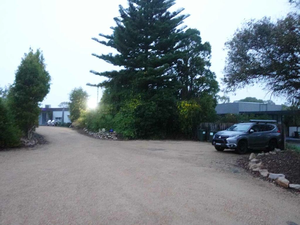
My parking spot for the duration of the walk
Day 1 Orbost to Tostaree (31km)
Today I start my walk on the East Gippsland Rail Trail. In fact this will be an early start – just after 7:00 am in the morning. Overnight its been raining and while I was expecting to have rain for all four days, I was hopeful but overnight the rain continued only stopping just before midnight.
I wake up just before 5:00 am and start getting myself ready which involves a shower, breakfast, a final pack and moving my car to a small parking area at the front of the motel. I couldn’t quite work out why it was so dark when it was 7:00 am and realised there was total cloud coverage, and along with the fog what I thought was also a light mist, I soon realise is was very light rain. So even before I started walking I had to get my rain gear on and put the rain cover on my pack. I’m glad I did because within bout 15 minutes of starting it was raining steadily and solidly – I would have been drenched without my rain gear.
One thing to note is that this trail is designated as a 94 km walk with an additional 4.5 km to Orbost. So for the first 30 minutes I walked along the side of the highway in steady rain. After crossing the bridge over the Snowy River I turn off and follow the trail signage from this point. This first section of trail leading up to the formal trailhead is probably the poorest section of the track consisting of narrow walking track that has been worn into the landscape. I say this purely because it holds water and as such, I end up moving on to the road shoulder. In dry conditions it wouldn’t be an issue. There is also some interpretation signage along the way at this stage – even in the rain, the information on the historic rail infrastructure is interesting and engaging.
I arrive at the formal trailhead around an hour into my walk and take the opportunity to do some recording for the podcast as the rain continues. I’m now on the formal rail corridor and the track widens and is a more maintained, flatter corridor. I learn at this early stage that as you cross a road, particularly close to towns, there is a gate system that forces you to slow down and pay attention to the traffic; particularly important if you are doing this trail by bike.
The vast majority of this walk is along old rail corridor. Later on I learn that the gradient for trains is around 1:40 or better but for the majority of the track, the change in altitude is almost undetectable. The thing that really surprises me is this gentle gradient change is made possible by quite steep cuttings, some of which are 10+ metres. Sometimes you don’t realise until you are in the middle of them.
This trail is about as easy as navigation gets. You don’t need a compass or any navigation skills to find your way as with one exception, there is signage along the way as you cross access roads. For much of the day the old rail corridor parallels the nearby highway and while not always visible, it is within earshot.
My walk continues as I head towards my chosen destination of Tostaree stopping every 90 minutes for a rest. The rain continues on and off much of the day although thankfully, its lighter. The trail corridor is lined with tress and shrubs and in many areas natural bushland and farmland. At this end of the trail the tread is a granite/natural surface and its very easy to maintain a good pace. Wildlife today is very limited which given it is almost winter and raining, isn’t surprising. The majority of the wildlife is of the feathered variety and in fact, I’ve never done a walk with so many Kookaburras.
Given the time of year (heading into winter), I didn’t expect much in the way of flowering plants. However, I did see lots of flowering Epacris of varying shades ranging from white through to a vibrant pink with everything in-between, yellow flowering Hibbertias and Banksias. This would have been a very different story if I had done this walk in Spring.
Just before I arrive at Tostaree I come across the steepest section of the trail for the day – as I drop down and then up a gully for a distance of around 100 metres, I bypass one of the amazing old wooden rail bridges which aren’t in any condition to walk along.
I arrive at Tostaree at around 3:00 pm after travelling just over 31 km. Tostaree is a working farm and around 300 metres off-trail which is another one of the reasons my total trip distance is more than that suggested in the guidebook. There is a sign at the entry gate that directs me to the camping paddock and its very much a self help process. I was hoping to get access to one of the hut accomodation options but unfortunately they were unavailable so I end up tenting it in the large mown grassy paddock just after you enter the property.
This property has a large building that has a TV, open fire, games facilities along with toilets and showers which are greatly appreciated after spending a day walking in the rain. After setting up my tent and having a very early dinner at one of the outside picnic tables, I warm up in the shower and then sit by the fire a couple who were car camping had started. This gave me the opportunity to dry out my shoes and rain gear before heading to bed just after 7:00 pm.
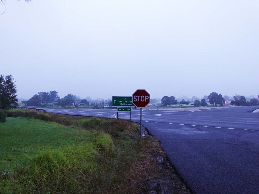
Turning left onto the highway to start my walk just after leaving the motel
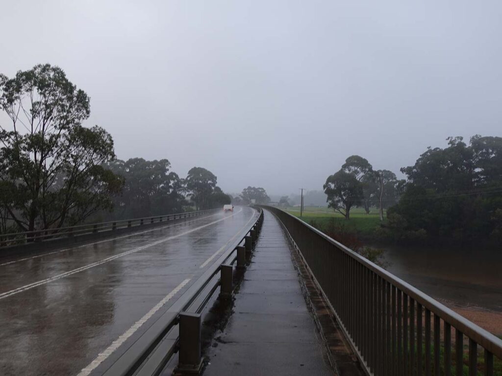
Bridge over the Snowy River and yes its raining
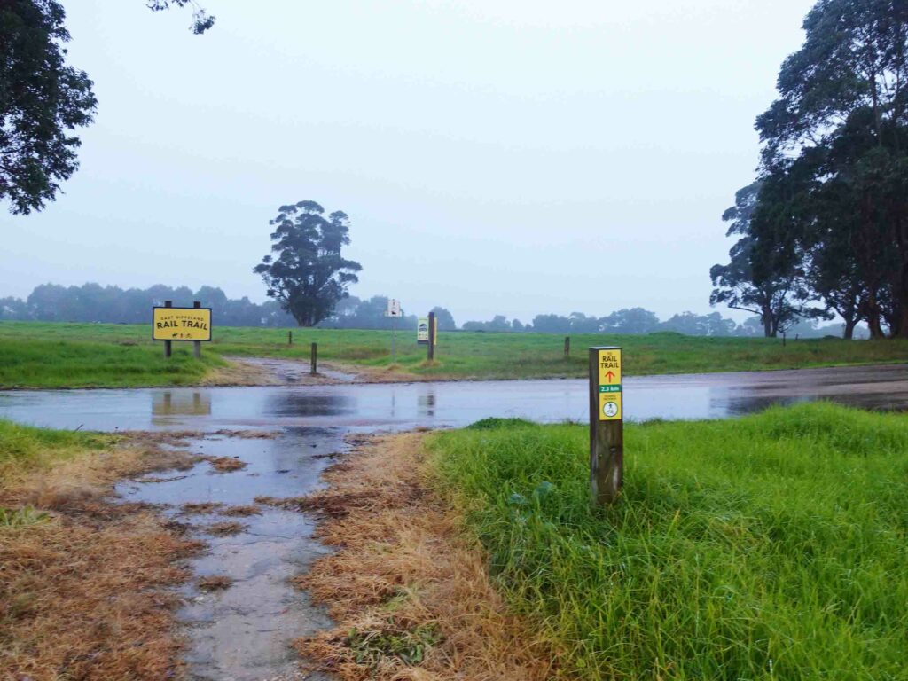
Start of the trail signage but the trailhead is still 2.3 km away
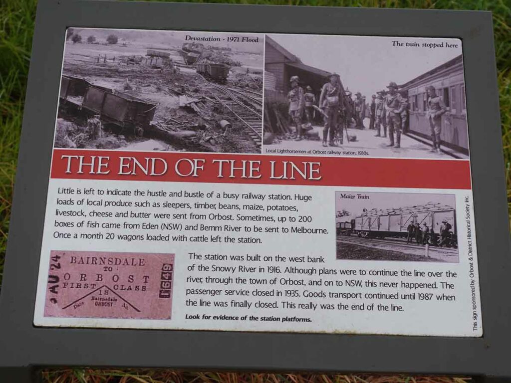
Interpretation signage pre trail
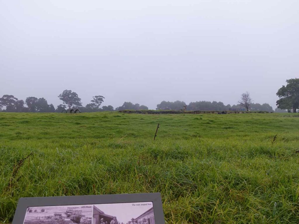
Remains of the Orbost Train Station
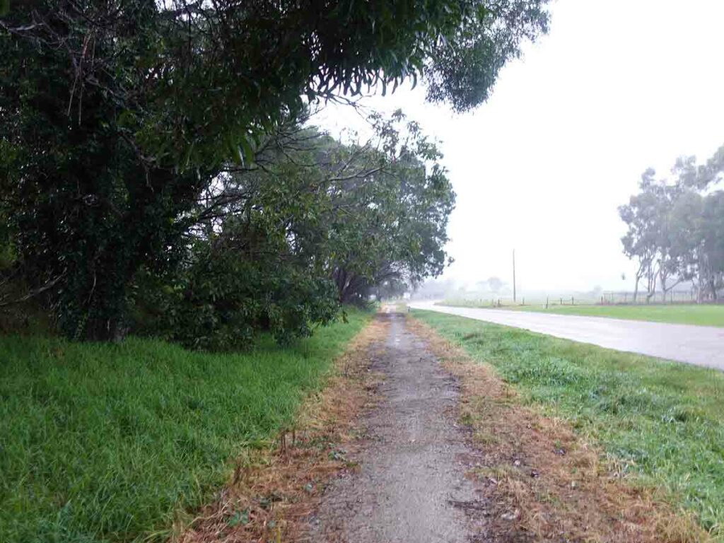
Pre trail track heading towards the trailhead
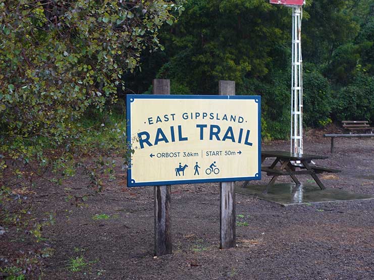
Start of the East Gippsland Rail Trail
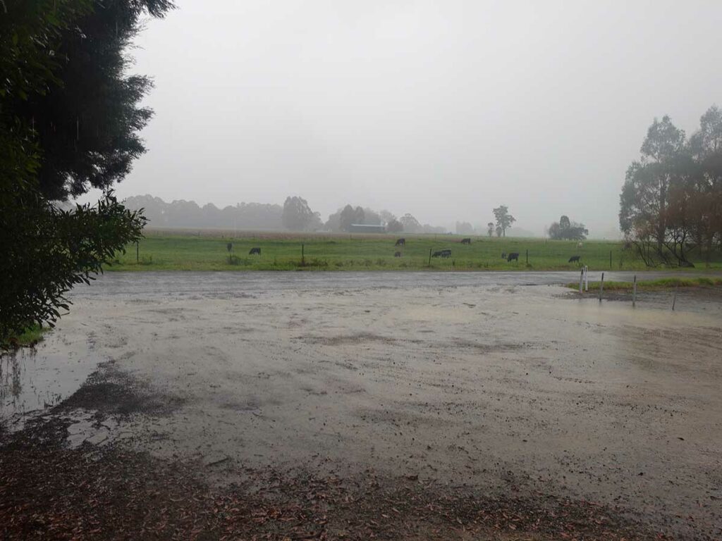
And its still raining
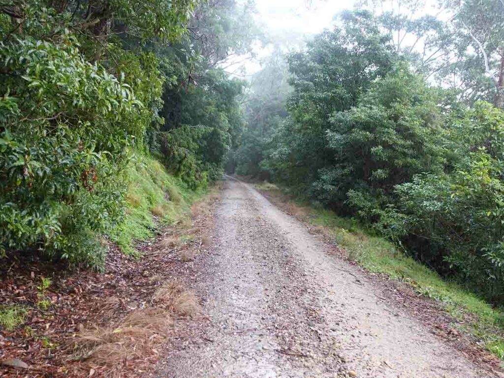
Trail example
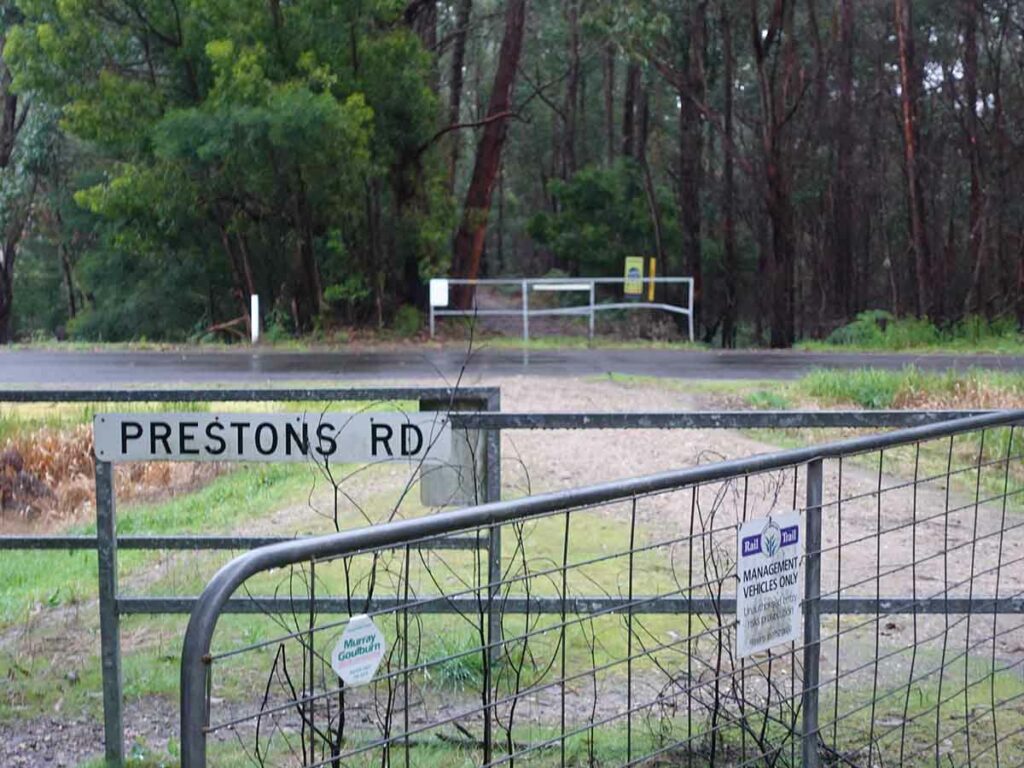
Road crossing infrastructure – ensures you pay attention when you cross a road
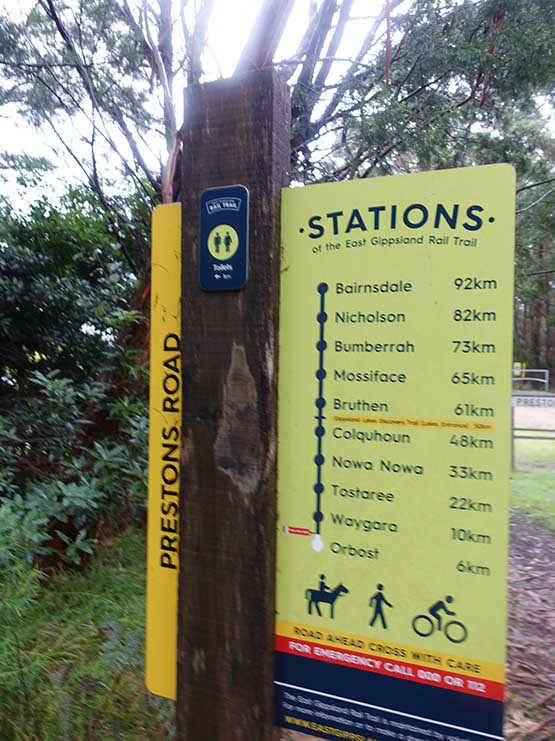
Trail signage appears almost every time there is road crossing
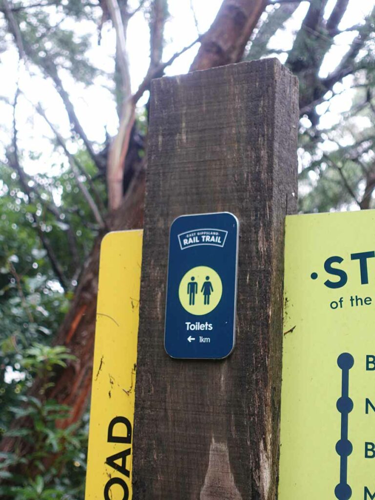
Directions to the nearby toilets
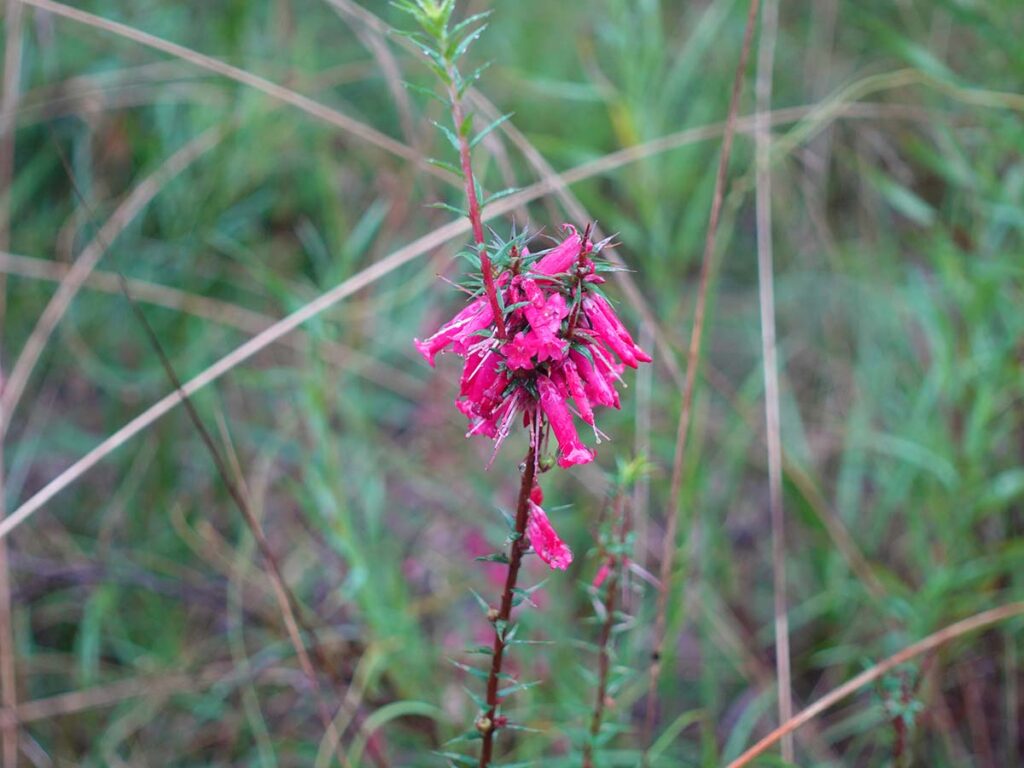
Bright pink Epacris
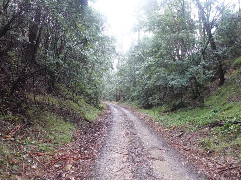
Example of large cutting. The change in gradient is imperceptible and you don’t notice the cuttings until you are in them
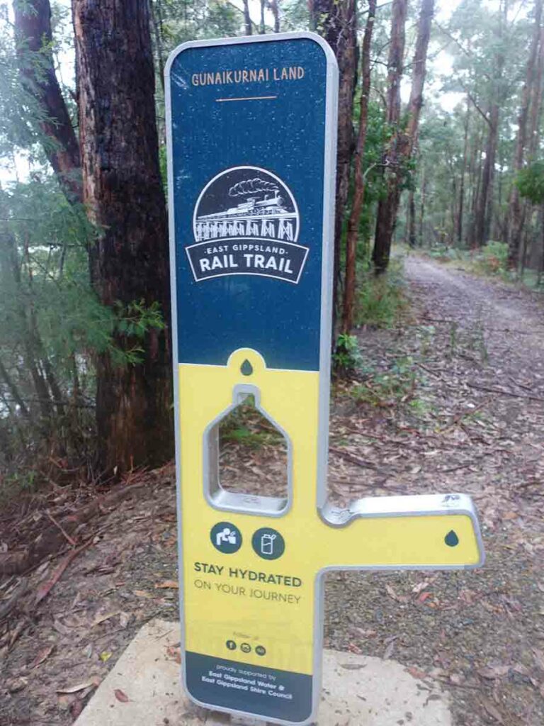
Water source
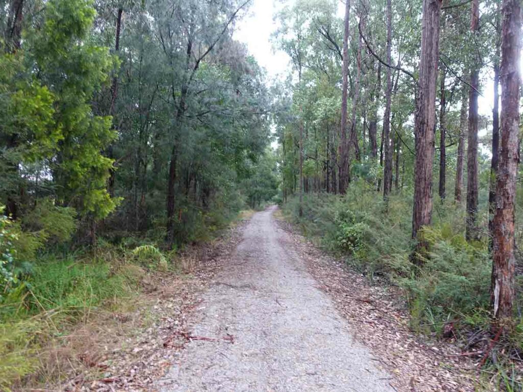
Trail corridor that used to contain set of train tracks and that’s what you are walking on
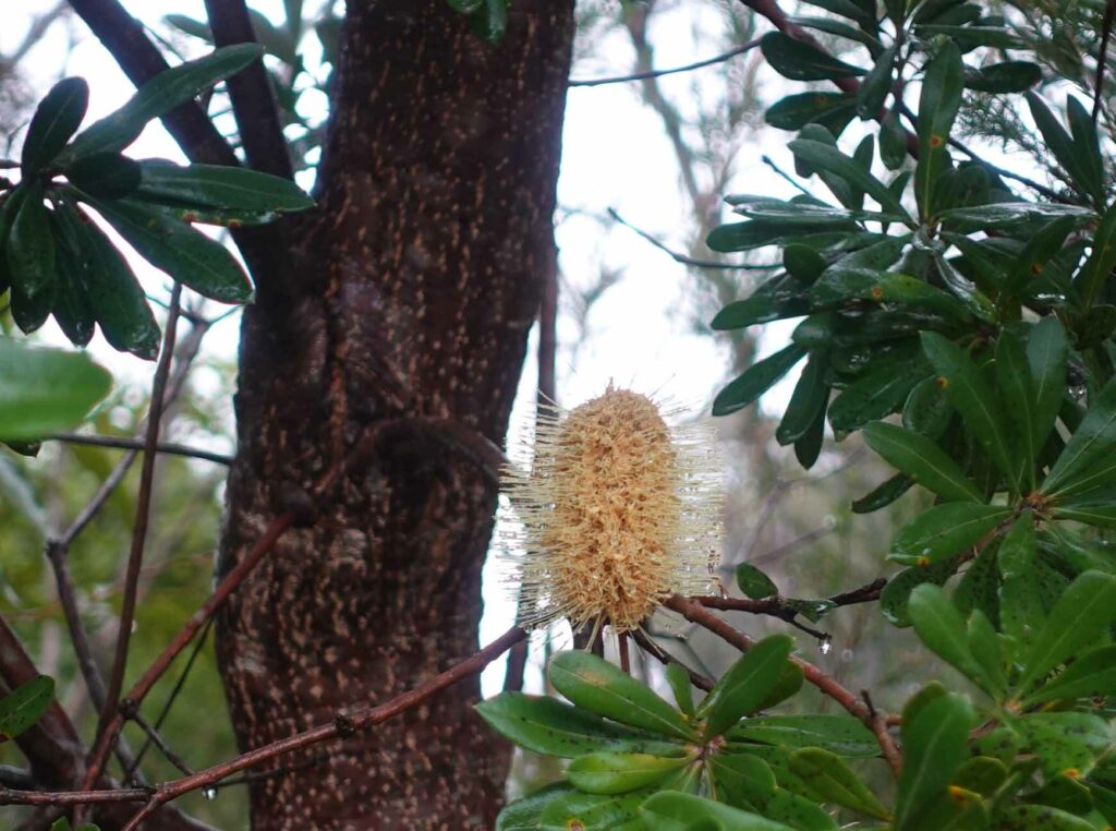
Banksia in flower
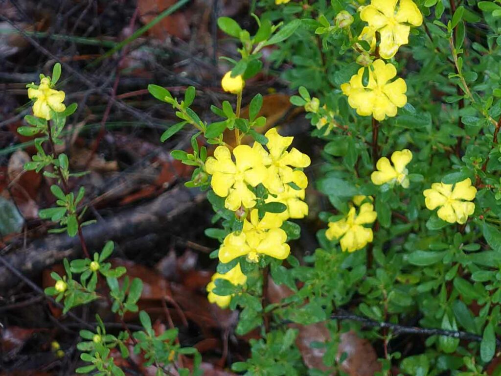
Hibbertia in flower
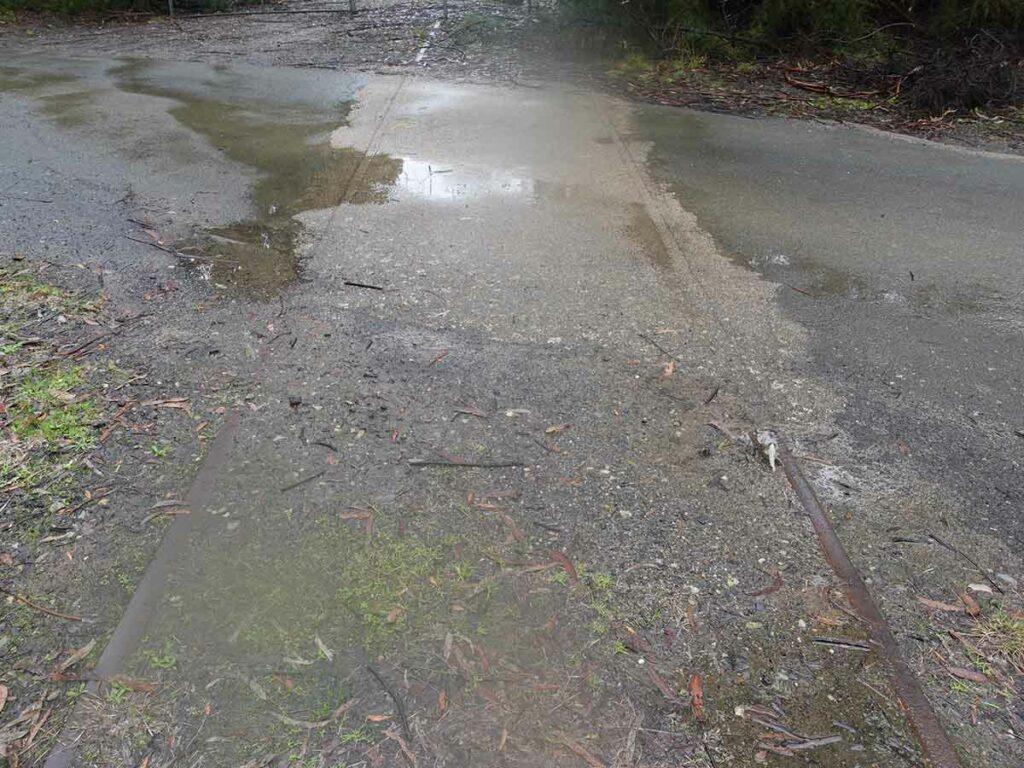
Remains of old tracks
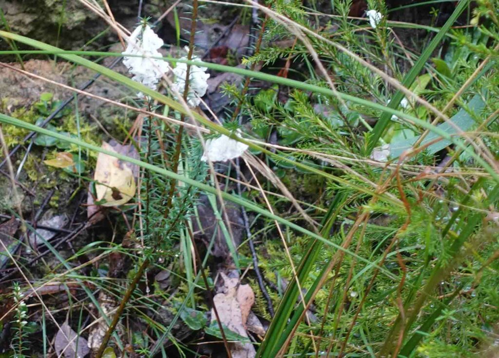
White Epacris
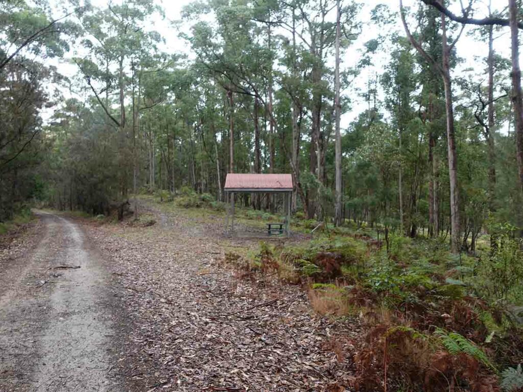
On-trail shelter
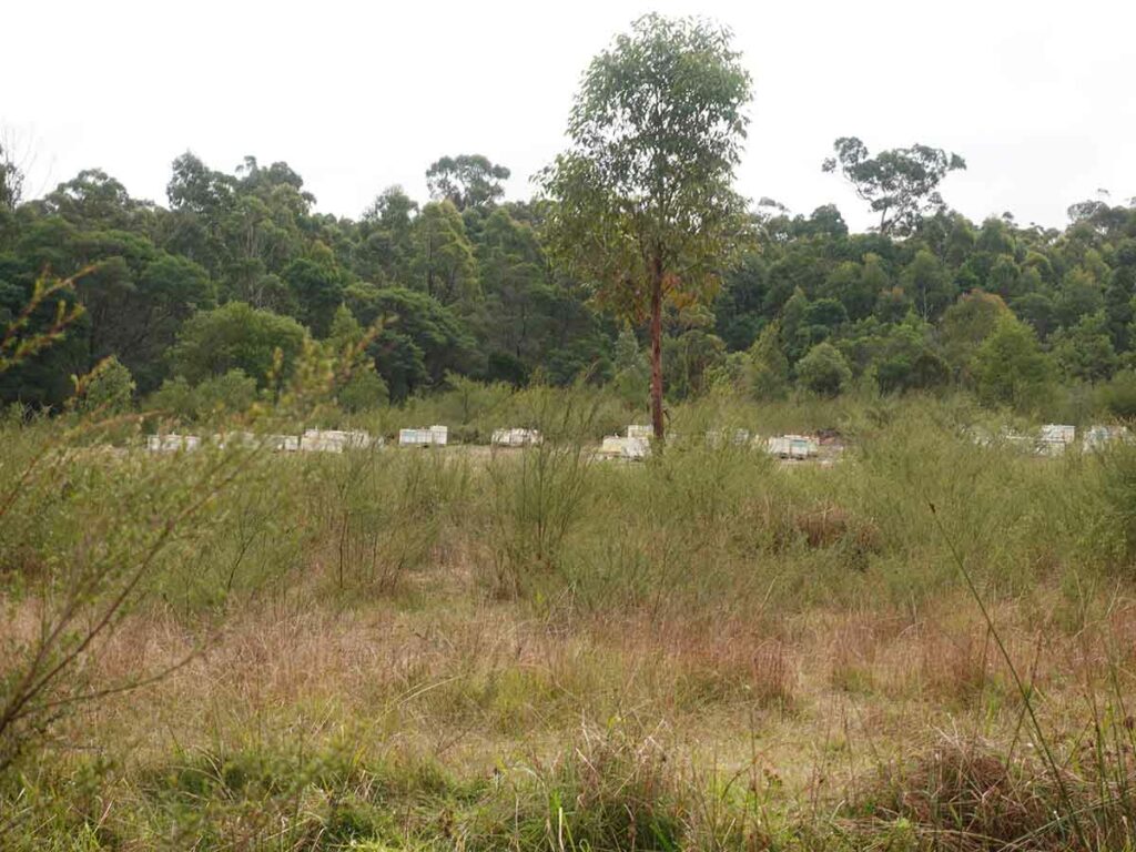
Bee hives just off-trail
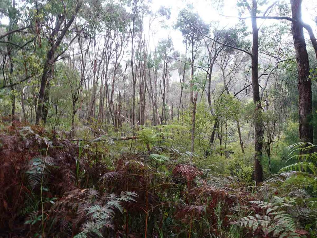
Off-trail bushland
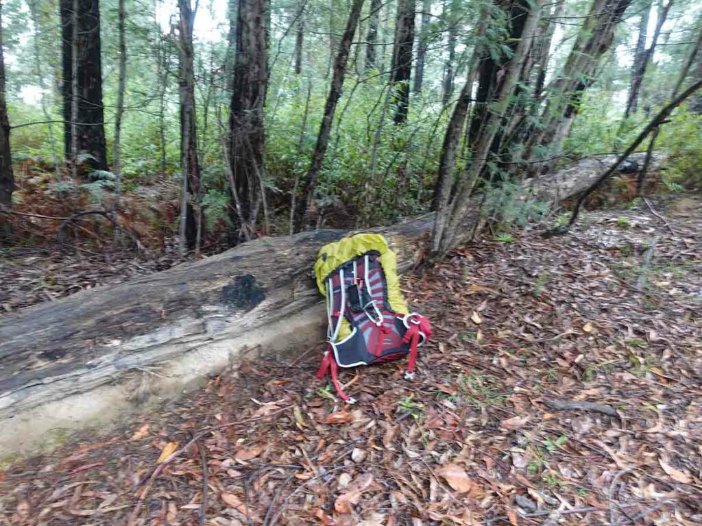
Lunch break on day 1
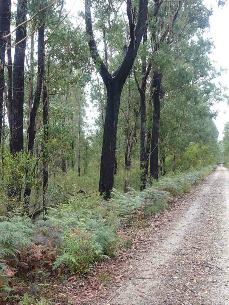
Fire damaged trees
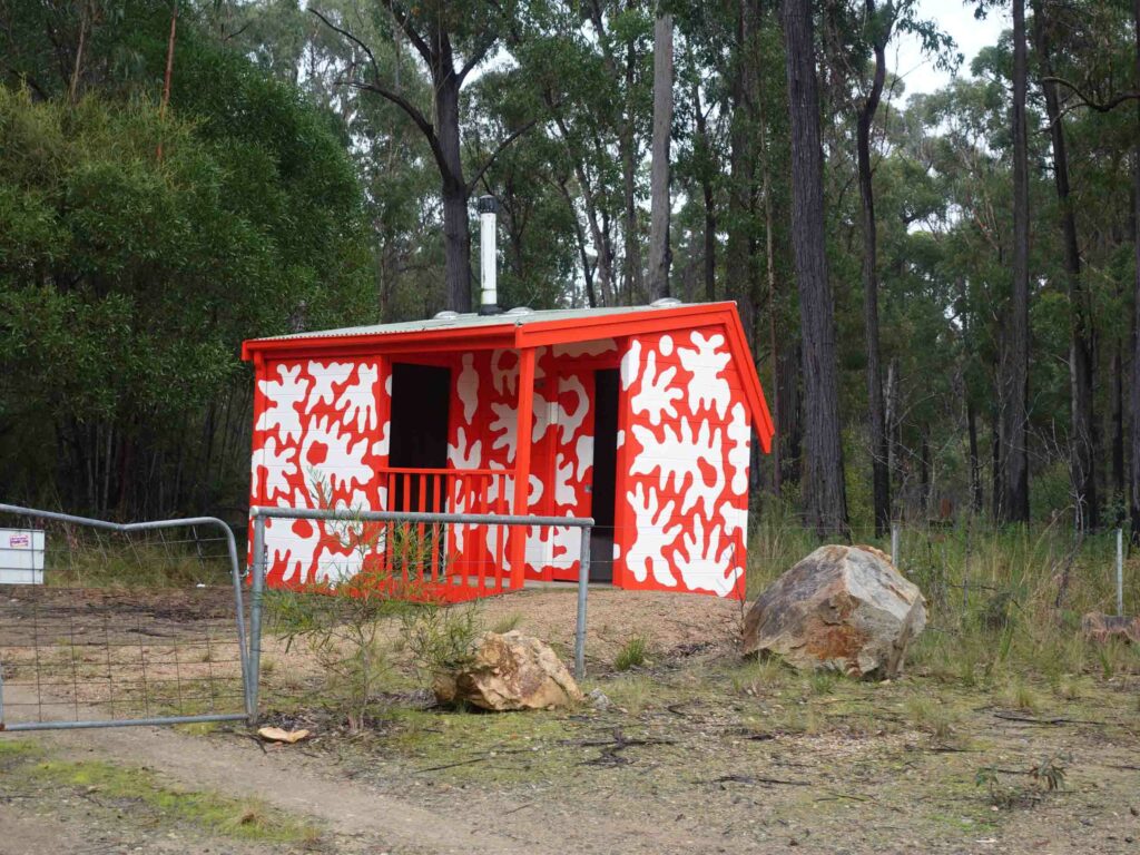
Toilet facilities on day 1 as I was approaching Tostaree
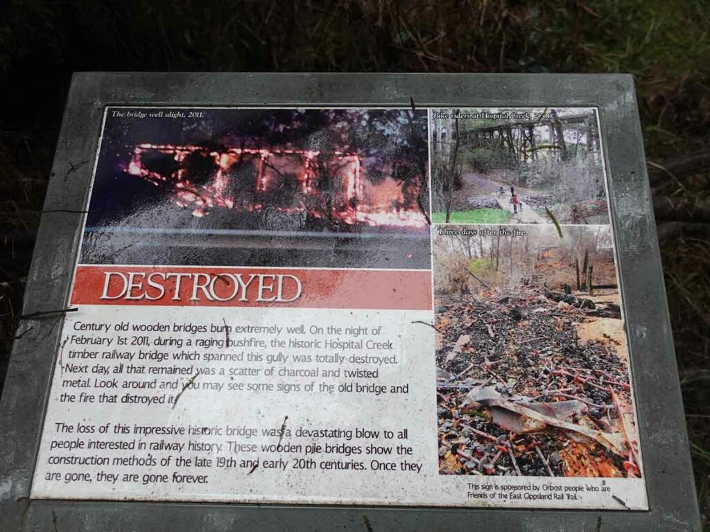
Impact of fire
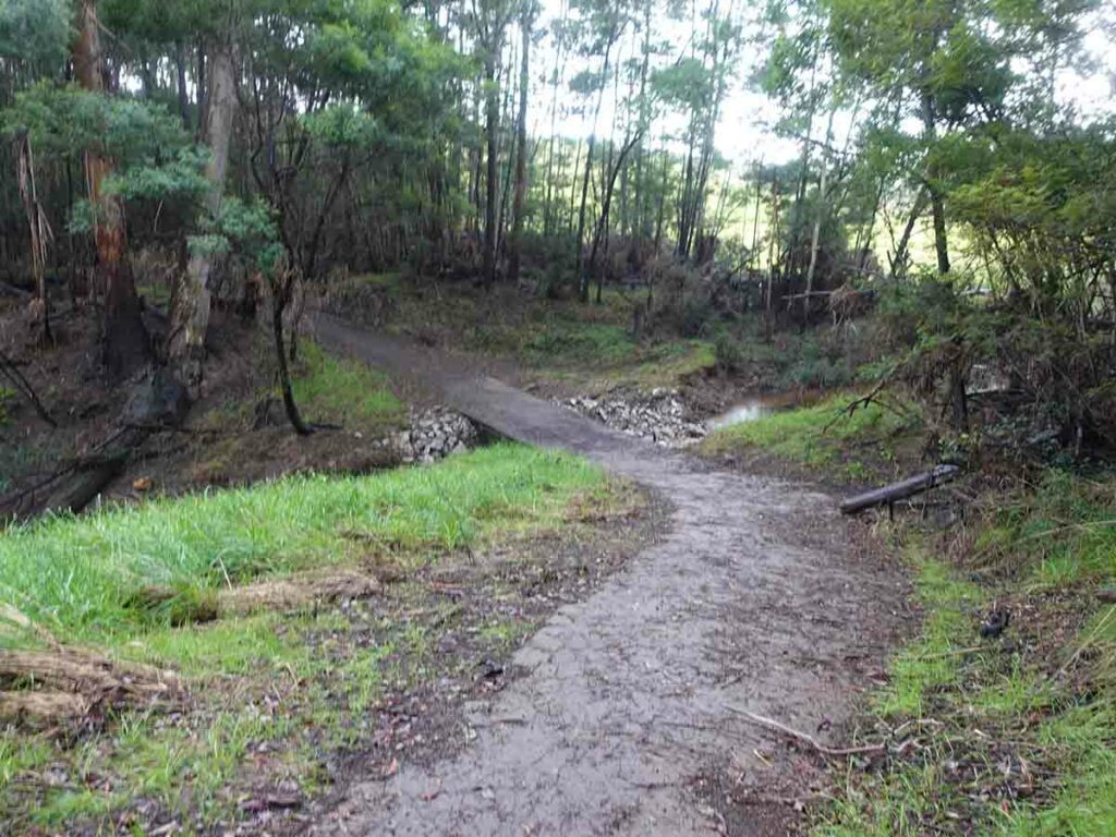
Avoiding destroyed bridge
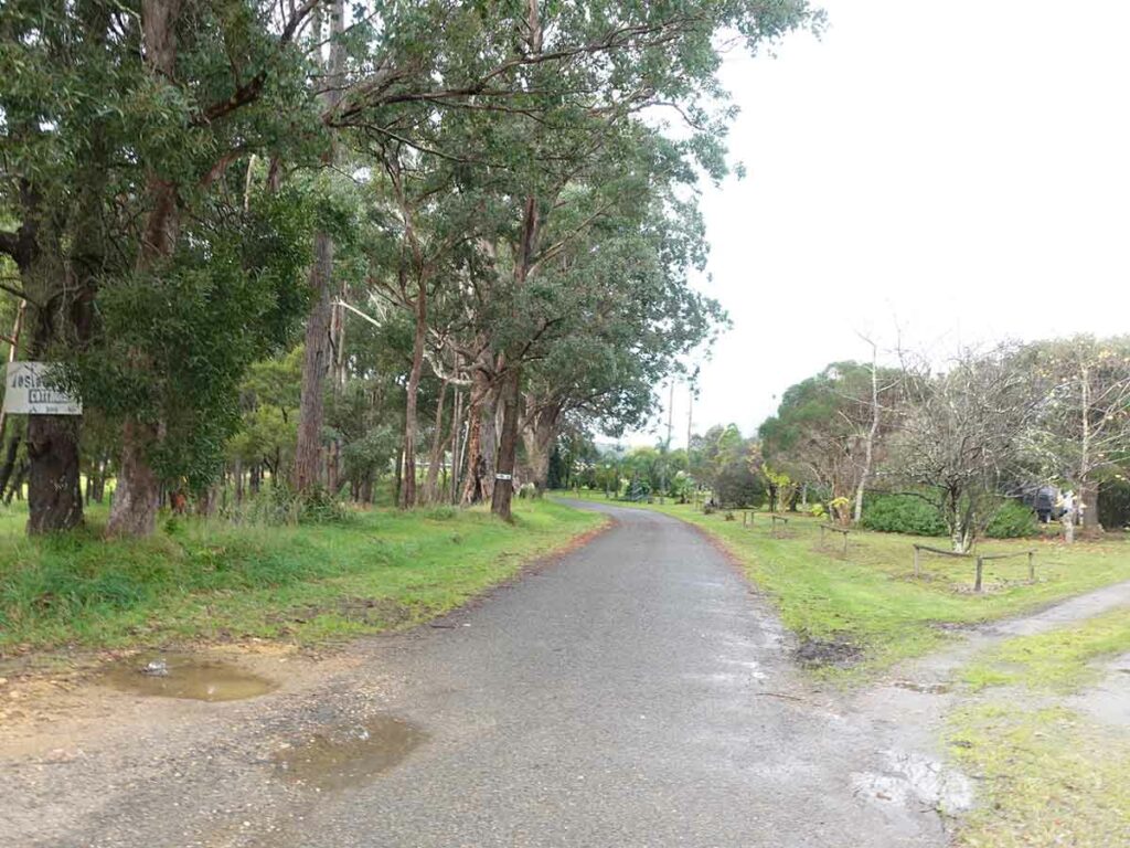
Heading towards Tostaree
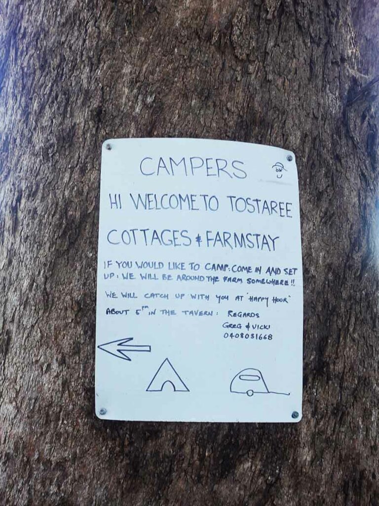
Entry sign at Tostaree for campers
Day 2 Tostaree to Nowa Nowa (13km)
I had a very good sleep up until around 1:00 am and after answering a call of nature, I dozed until around 6:00 am – very much a sleep-in for me. Once it was light enough, I took the opportunity to take some photos for the write up. The camping paddock is located right next door to the lambing paddock – I always love watching the new lambs playing and this didn’t fail to impress.
Today is a really short day with under 15 km of walking. I could have kept on walking yesterday to get to Nowa Nowa around 6:00 pm but that would have given me a 40+ km day which I didn’t want. I could also keep on walking past Nowa Nowa but again that would give me a 40 km day. I end up leaving Tostaree at around 9:00 am which is really late for me but given I’m travelling less than 15 km I’m not in a rush. I expect today’s trip to Nowa Nowa will take under 3 hours which is what ended up happening.
Again the trail maintained its smooth even gradient but this time it is in full sun although the temperate is still very much on the cool side. There is one section of around 2 km where the gradient felt unchanged and the trail was dead straight.
I pass a lot of farms as well as bushland and on one occasion walk parallel to the old rail track which is now more of a creek. There is also one section where the road has been damaged due to recent heavy rains but it isn’t an issue for walkers. Again there are lots of Kookaburras laughing along the way. As is usually the case, anytime I pull out a recorder or phone to capture their antics they stop; they just seem to know my plan!
I arrive in Nowa Nowa before midday and head to the Mingling Waters Caravan Park which like Tostaree, is off-trail. I check myself into the last cabin given the forecast overnight is for rain (and snow at the higher altitudes). I also didn’t want to spend such a long period inside a small tent. I manage to snag the last indoor accomodation which is a 10 person cabin with its own bathroom (outdoors) and kitchen which in mid-2022 costs me $85 for the night. I get my money’s worth out of the 30 minute hot shower I have! I head up to the cafe which is also the caravan park office after I drop off my gear, for an excellent lunch of fish and chips before heading back to my cabin for a relaxing afternoon. My tent is still drenched from the night before so I hang it out to dry, ready for its next use.
Again I’m in bed and asleep by around 8:00 pm and have a very good sleep after eating one of my dehydrated meals. Nowa Nowa in winter is a bit of a hard ask as far as accomodation goes – while are other options, the caravan park I stayed in was the best option at the time of my trip.
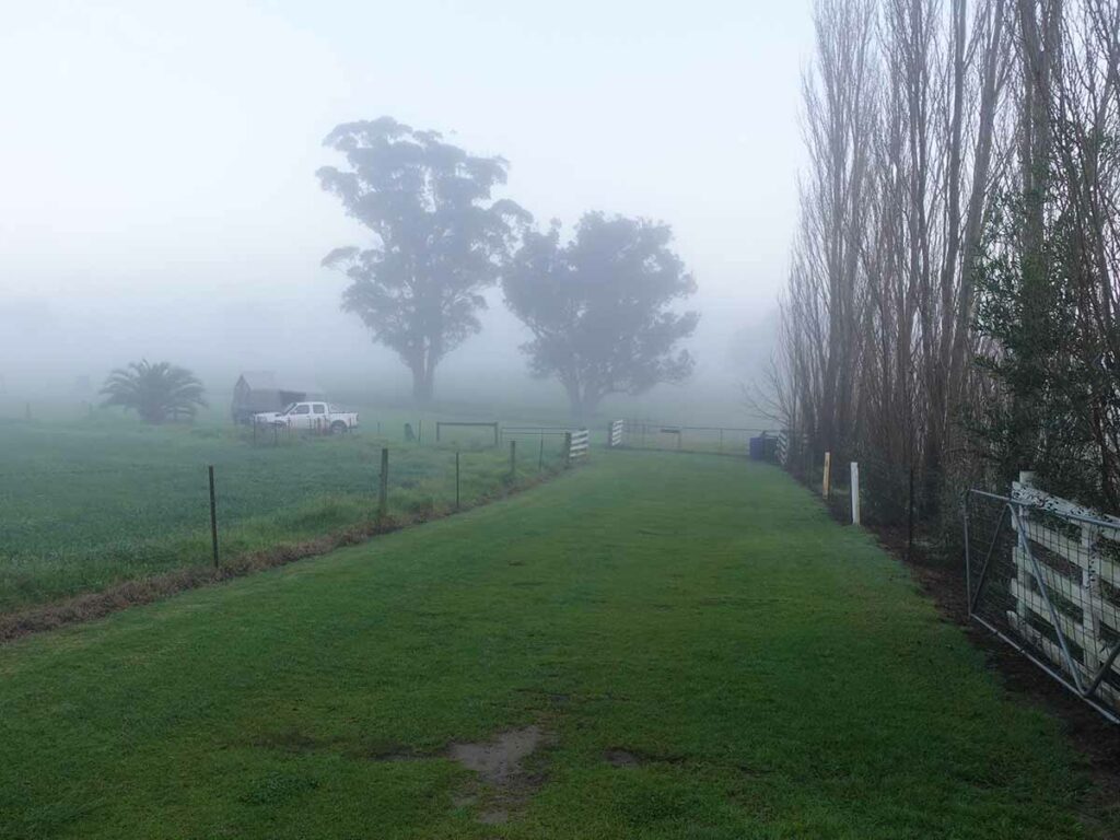
Approaching the camping paddock
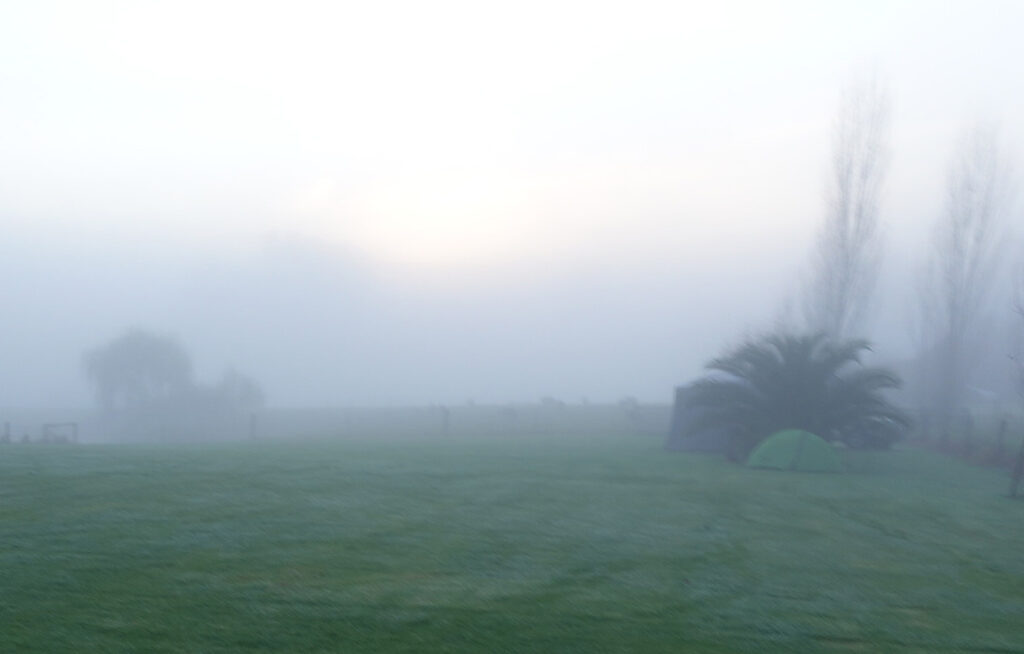
My tent set up near some shelter
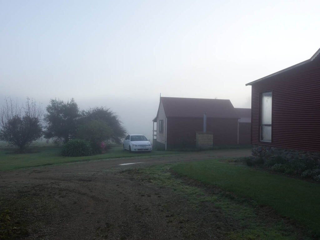
Cabins at Tostaree
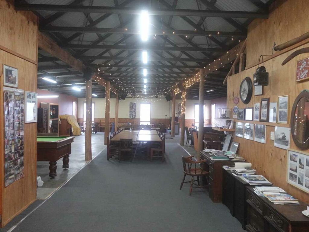
Recreation area at Tostaree
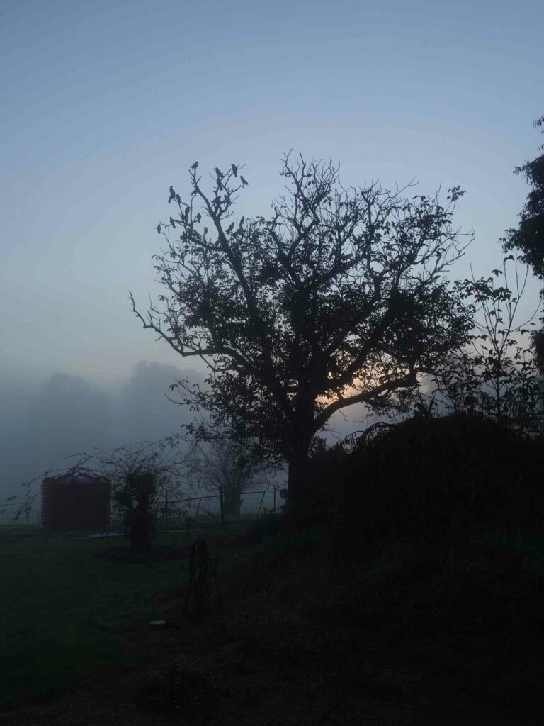
Early morning birds
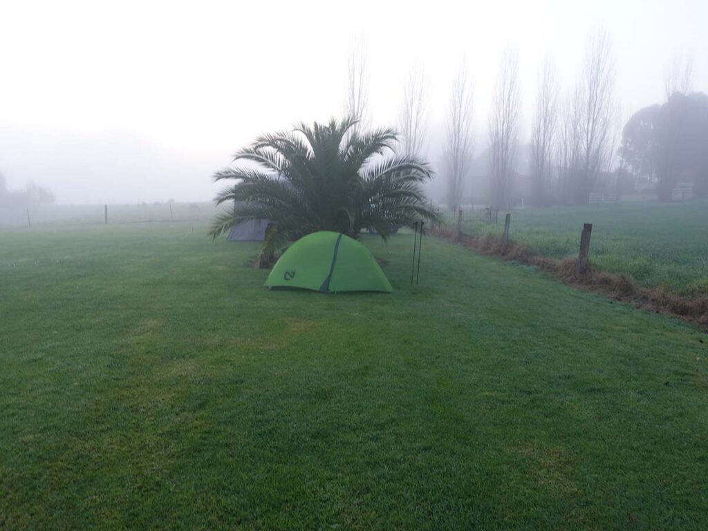
My tent at Tostaree
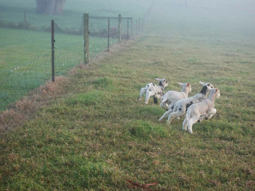
Lambs at play – my favourite farm animal
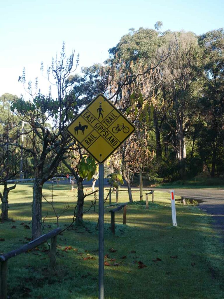
Approaching the trail again at the start of day 2
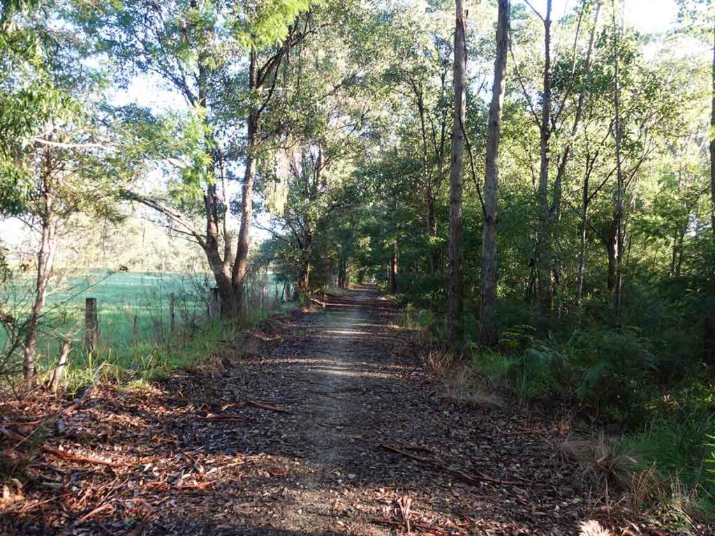
The trail day 2
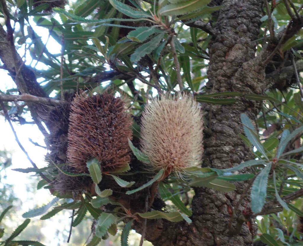
Banksias on trail in various states of flowering
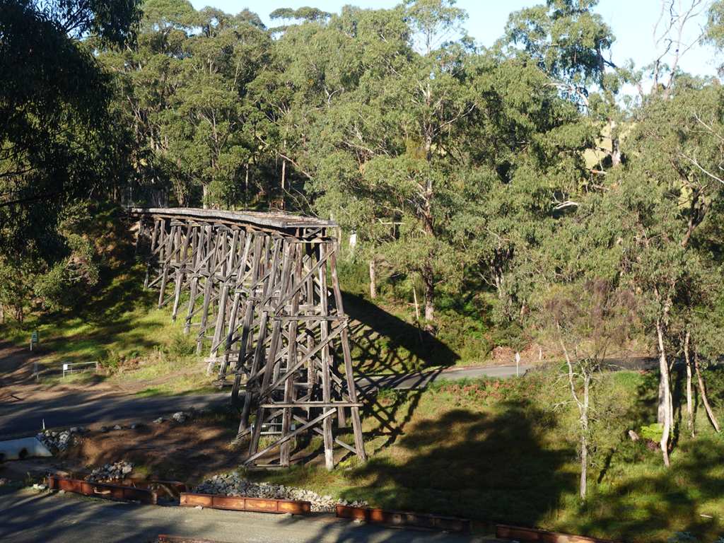
Bridge at Wairewa Road
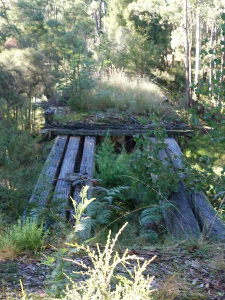
Rotting bridge top
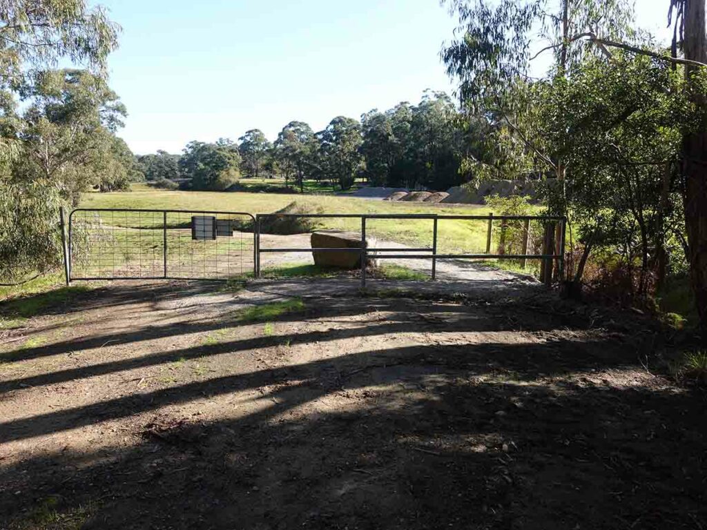
Coming into Nowa Nowa
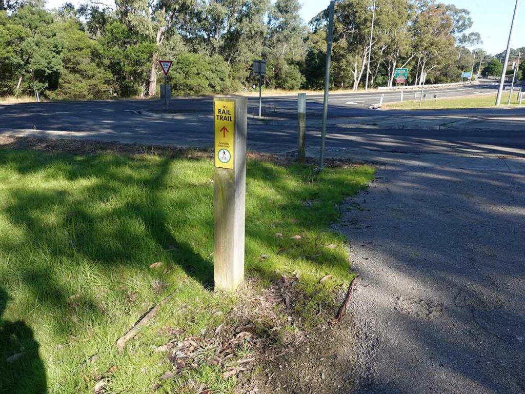
Follow the signs
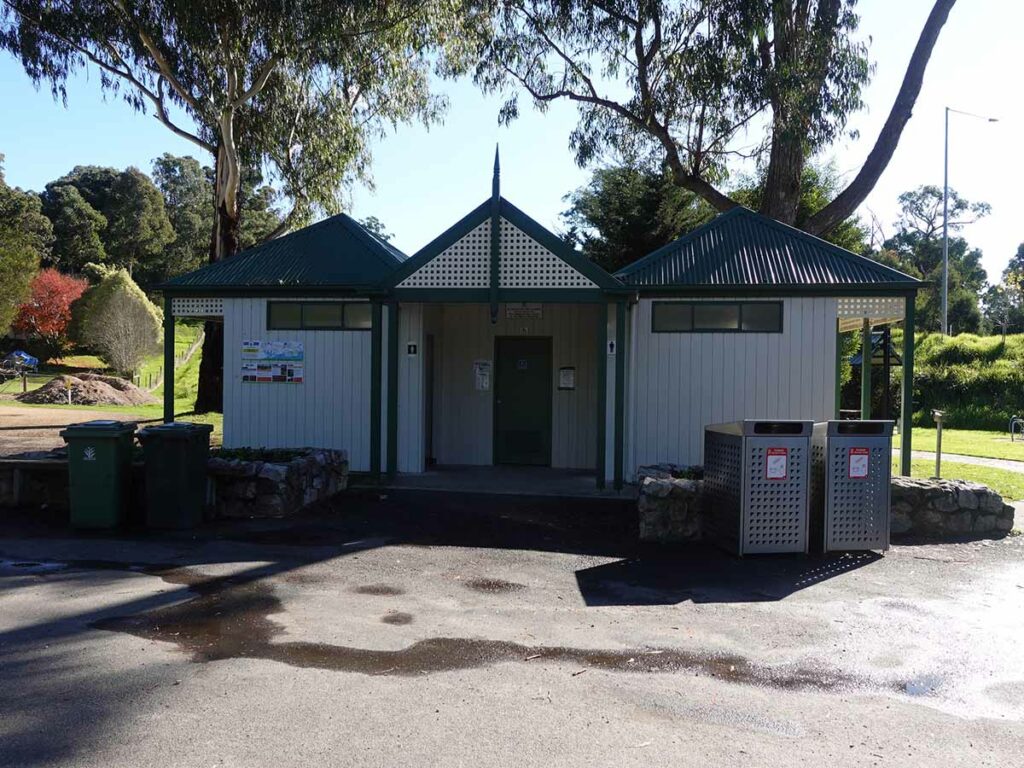
Public toilets at Nowa Nowa
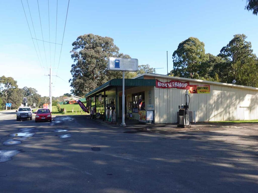
Local shops at Nowa Nowa
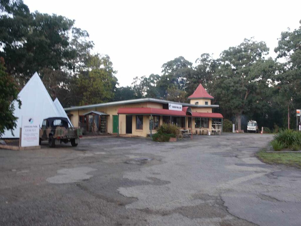
Mingling Waters Caravan Park
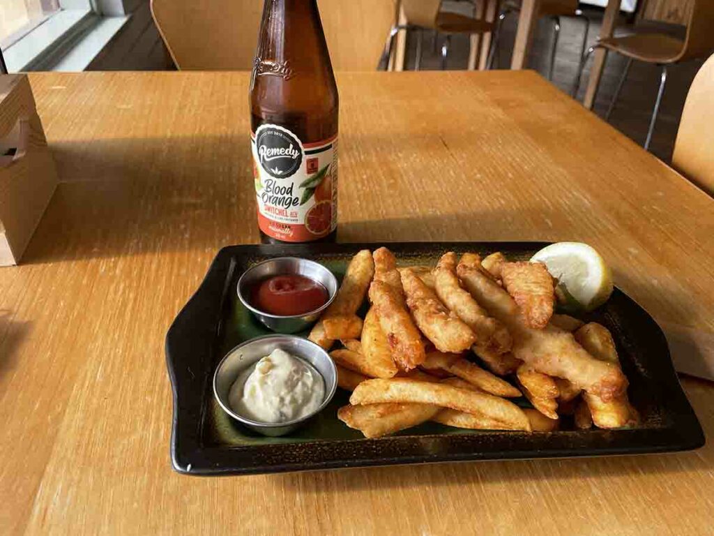
Lunch at Mingling Waters Caravan Park
Day 3 Nowa Nowa to Bruthen (28km)
I wake up around 5:00 am again today beating my alarm. I eat breakfast and pack myself up waiting for light and a planned start at 7:00 am. While the forecast is for rain today, there is no cloud but the rain radar has a large front heading my way. Today is a 28 km day and while I’ve tentatively booked a tent site in the local caravan park, I will try for accomodation at the Bruthen Inn to again avoid the rain. I walk across the road and head up hill for around 500 metres to connect back to the trail. Once I formally hit the section trailhead I have the sun at my back which shows up in some of the images below. The vegetation along much of this section of the trail consists of tall forest which was replaced by open farmland as I approach Bruthen.
The highlight for today and for that matter the whole trip, is the Stony Creek Trestle Bridge. This is the ‘hero’ image used for this walk and is extremely impressive – the image I chose as the cover image for this write up and the associated podcast. This bridge was in operation until 1988 when trains still ran to Orbost – the interpretation signage talks about its history. All the materials for this bridge were from the local landscape and its just amazing how it was created.
While I knew I would come across this bridge along the trail at some point, I deliberately avoided knowing when so all the infrastructure was going to be a surprise – and its was. I have a heritage background and if I had of driven past this site in a car, I probably wouldn’t have bothered to drive in off the highway but that would have been a mistake. For me at least this whole walk was worth it just to see this bridge. It dwarfed every other bridge along the trail. There is also a small carpark, toilets and a picnic table at this site.
I walk on further until I find an area to sit and do some podcast recording all the time keeping an eye on the weather which was moving in but as yet hadn’t start to rain. At this point, and purely by coincidence, I was recording and looking down the road ahead and I see a black male Lyrebird run across the road. Had I been facing the other direction I wouldn’t have seen it.
Today I come across the first person on the trail which was a bike rider who travels the 28 km from Nowa Nowa and back again for his morning tea. We have quick chat and then he passes me again on the way back. I had originally thought about doing the the Gippsland Lakes Discovery Trail which branches off this trail as an add-on to this trip which takes you to the coast at Lakes Entrance. But this diversion would have added an additional 34 km out and back so I opted not. This turned out to be a good decision because the trail was closed due to weather damage. This turnoff point was also the area where I had no phone signal.
As I approach Bruthen I call ahead to the Inn and manage to get a room for the night – a decision that meant a dry warm night. The Bruthen Inn has a long history – the original inn was built in 1858 but the current brick inn was constructed in 1938. The rooms while having been refurbished, look like 1938 rooms with 3.6 metre ceilings and cute little sinks in the corner. While there is a heater in the rooms, they don’t cope with the cold nights so I end up opening up my sleeping bag and putting it over myself which provides just the right amount of warmth. The hotel staff said they usually put the heaters on if they know they have people coming in but in my case I didn’t give them much notice of my arrival. I manage to beat the rain and while rain looked likely the whole day, it held off although it wasn’t a very warm day.
After a nice long shower I head to the Inn restaurant at 6:00 pm which is when it opens and opt for a small piazza which was plenty of food for me. The meals being delivered to other tables are typical pub food – enormous and big enough for two people so my choice was a good option. After dinner I head back to my motel room for some social media and another early night. One comment I would make is that pubs tend to be very noisy on Friday and Saturday nights but this night was the first real cold night of the year and it was a very quiet night and easy to sleep.
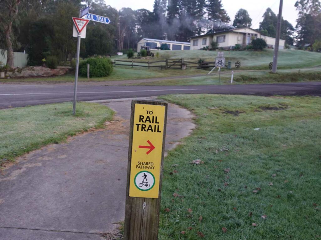
Back on-trail day 3
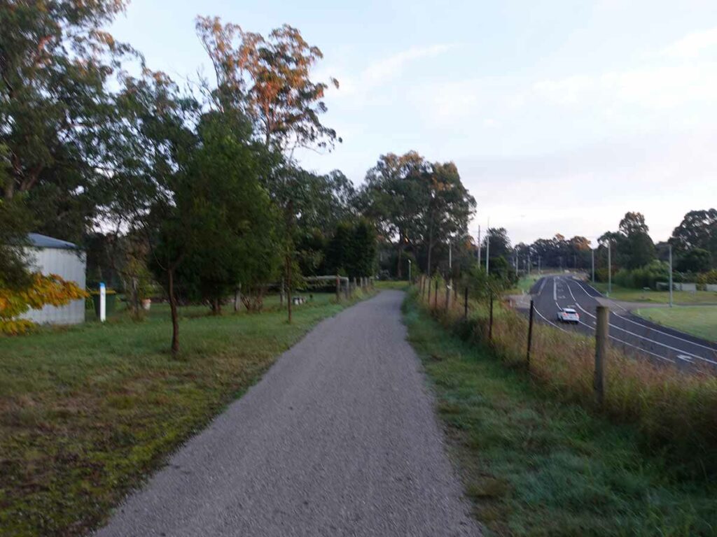
Example of compacted trail
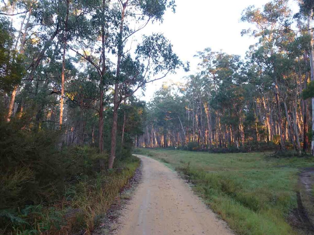
And the sun is out again
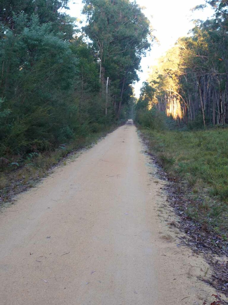
Trail example day 3
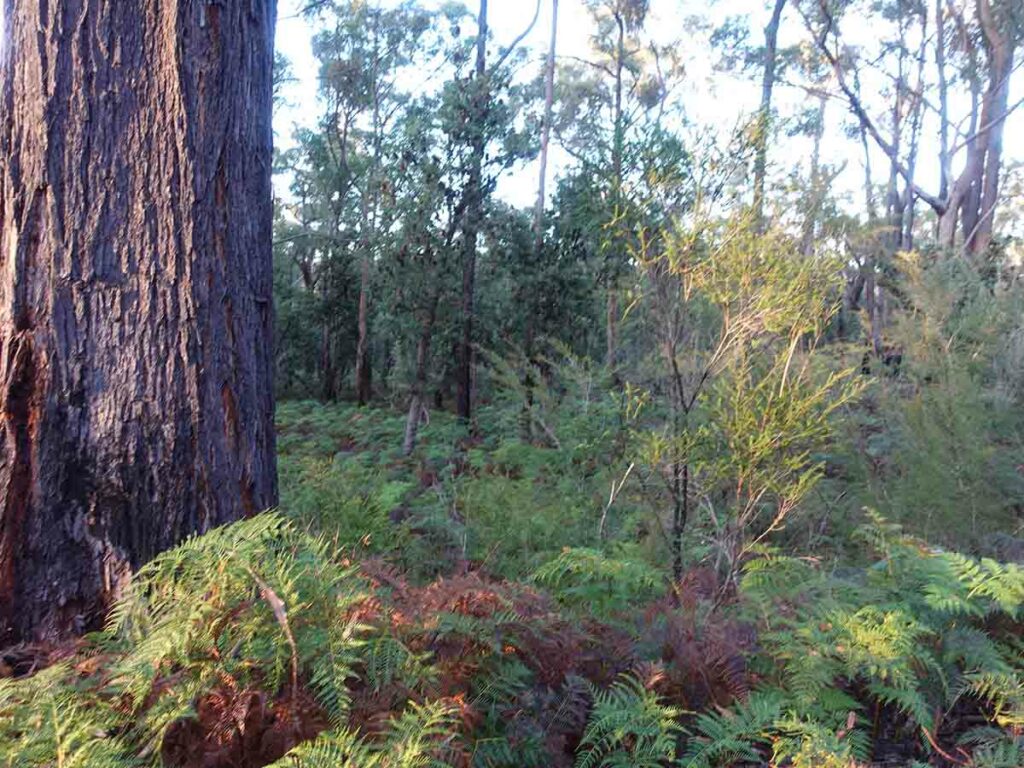
Off track day 3 example early in the day
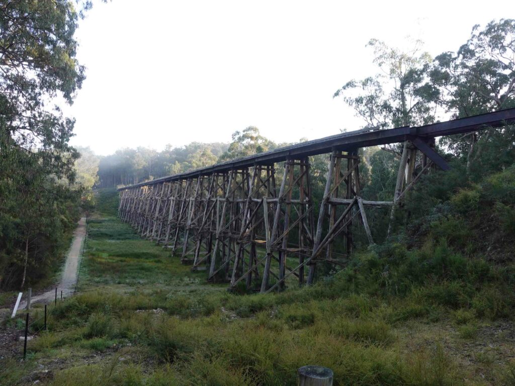
Stony Creek Trestle Bridge – this was the highlight of my trip
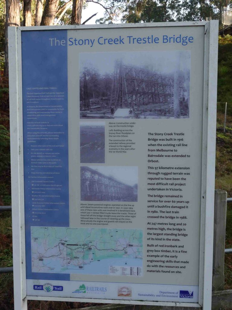
Stony Creek Trestle Bridge infomation sign
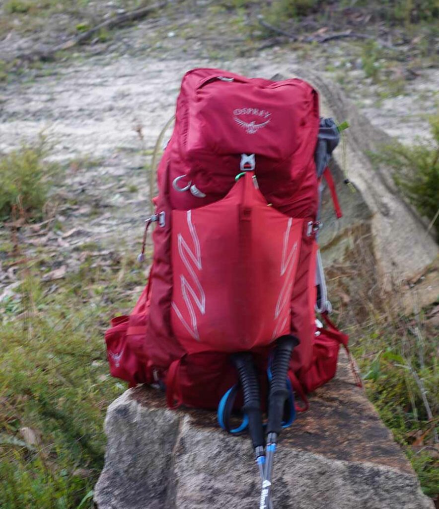
My pack for the trail
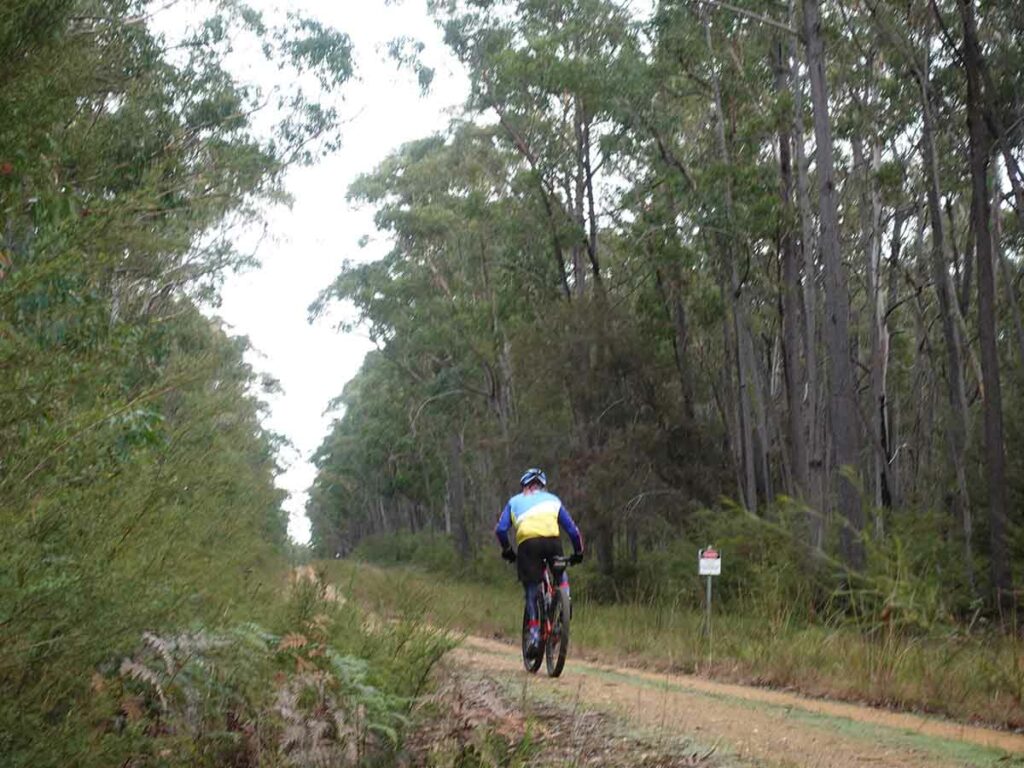
Cyclist on the trail
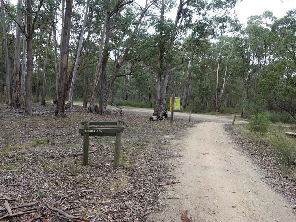
On the day the forested area changed and dried out quite noticeably
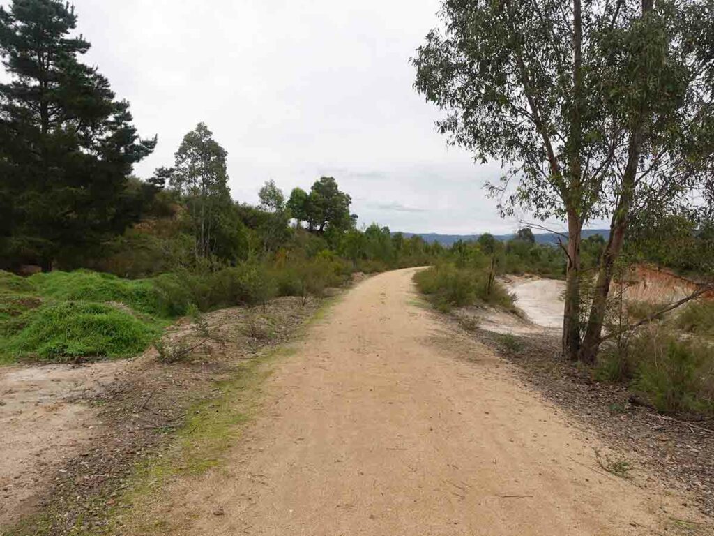
Starting the descent into Nowa Nowa day 3
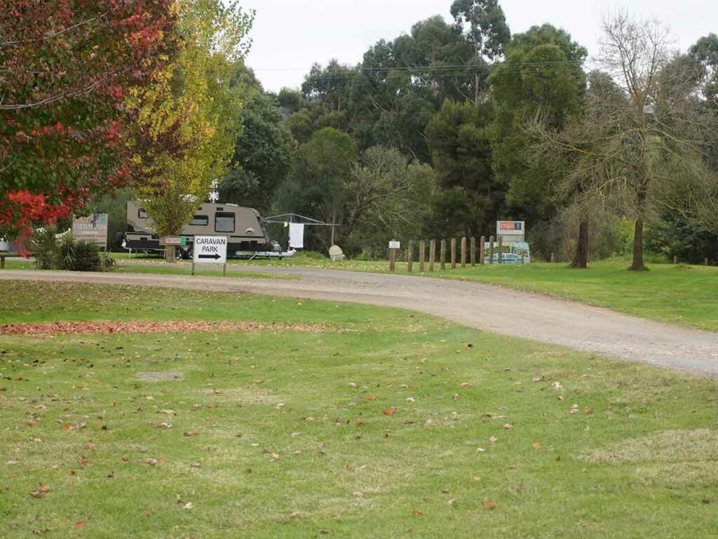
Bruthen Caravan Park
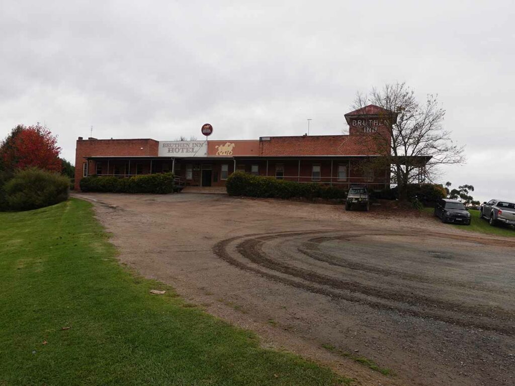
Bruthen Inn
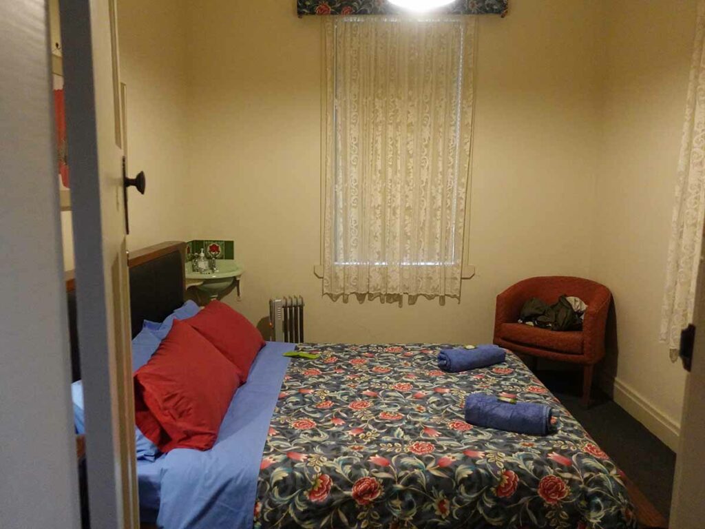
Bruthen Inn rooms – they look like they were decorated in 1938-styel!
Day 4 Bruthen to Bairnsdale (34km)
Finally the last day of the trip is here and today I will supposedly cover 32 km but I end up doing 34 km which I’ll explain in a moment. I need to reach the Bairnsdale Train/Coach Station by 5;30 pm to catch my bus back to Orbost. Given I’ve maintained a good pace over the past three days, I only need to average around 4 km per hour which would be the slowest pace of my whole trip. I want to arrive into Bairnsdale at least two hours ahead of time which will mean I don’t have to stress and will have time for an early dinner/snack.
I had a good nights sleep again last night and wake early but the cloud cover and mist is heavy today so its very dark even at just before 7:00 am. I do some last minute podcast recording and leave the Inn at 6:45 pm as planned. I reconnect with the trail not long after and realise that its about to rain so stop and put my rain gear and pack cover on. The rain doesn’t last for long but its very chilly so I keep the rain gear on for most of the day. Today is all about rural life and while I still have woodland on much of the trail, the views through the trees for much of the day are into farmland as I approach the more populated end of the trail. Heading out of Bruthen the trail is bitumen which soon becomes compacted gravel – it looks like they are going to expand the hard surface almost all the way into Bairnsdale. It makes for easy walking and certainly easy bike riding.
By this stage I’m starting to see more people, a few local walkers and lots and lots of bike riders as I head towards Bairnsdale. The trail signage becomes more frequent as I cross of the various roads and the distance markers are counting down to 0 km. At this stage there are a series of ‘repeats’ and it become a bit disheartening when I pass a 10 km distance marker and a kilometre later it says the same thing. I realise they are rounding to whole kilometres but when you are on foot you feel like you are standing still. Given the trail markers, I think I’m very much likely be going past my designated 32 km walk but eventually I reach the formal trailhead and its spot on 32 km. If you are being picked up at this point that’s fine but the one problem is that I still need to reach the train station and that’s another 2 km so I end up walking 34 km for the day. I reach the train station with about two hours to spare so I head for a very late lunch and to get some food for dinner before my return to Orbost.
I board the bus at 5:30 pm and do a cooks tour of the coastline as people are dropped off at their various destinations and finally reach Orbost 15 minutes early at 7:15 pm. I still have a 500 metre walk to get back my hotel and ideally I should have put on my headlamp as the streetlights disappear – I find myself stepping off the edge of the road as the path disappears and the occasional car comes past.
I’m back at my motel now and the room is toasty warm given staff have put the heater on for me. My trip is now over and all that’s left to do is my return drive back to Canberra in the morning which as it turns out, includes light snowfall along the way.
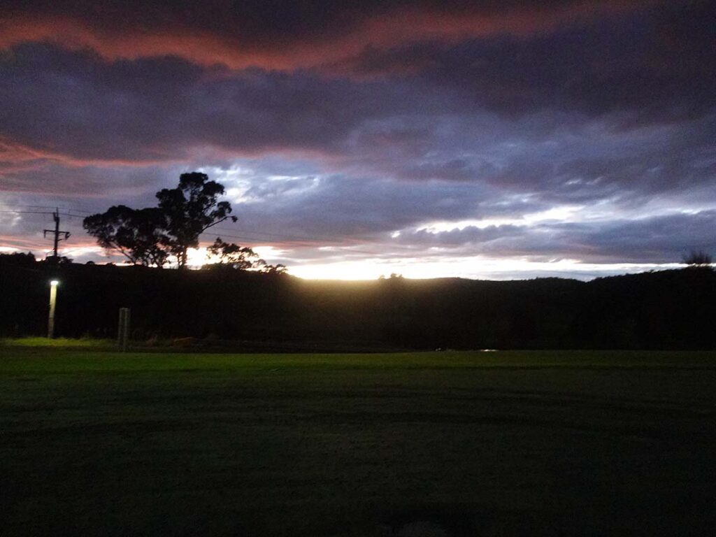
Morning on day 4 on the East Gippsland Rail Trail and just leaving the Bruthen Inn
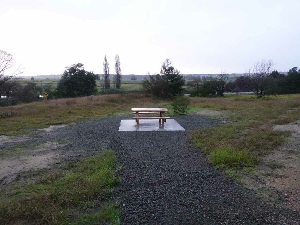
Trail infrastructure just outside Bruthen
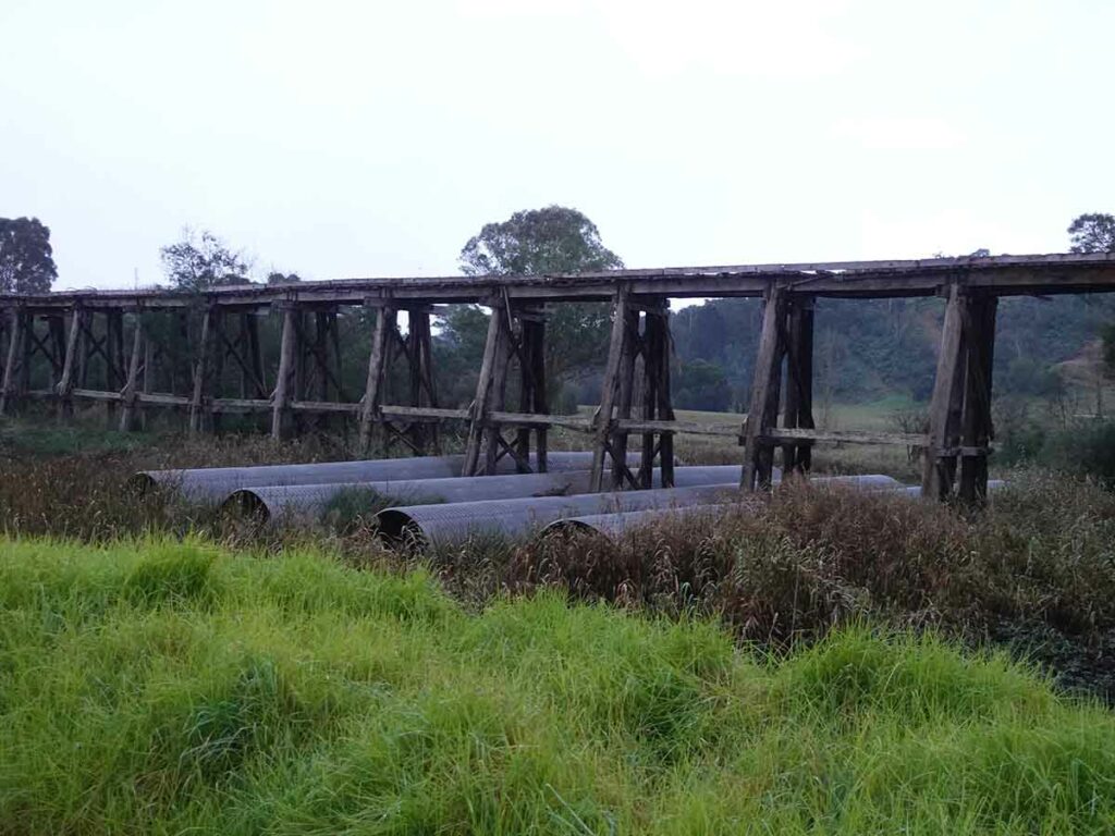
Old Trail bridge, not as tall as others
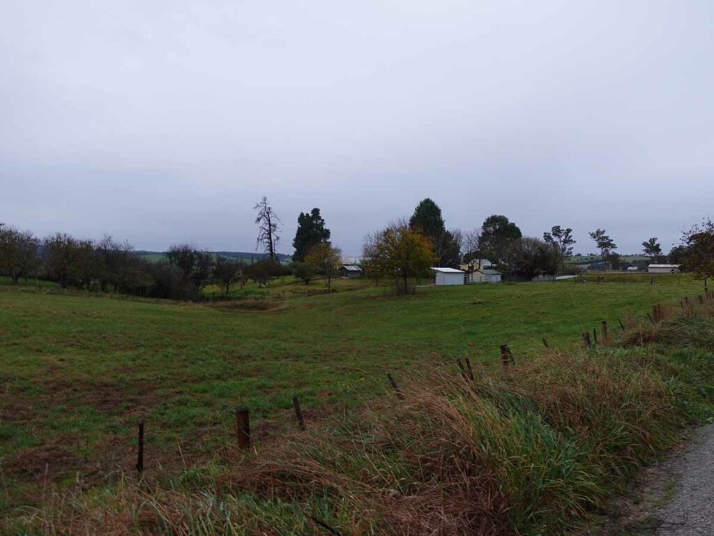
Rural landscape dominates this trail on day 4 although there is still plenty of native vegetation around
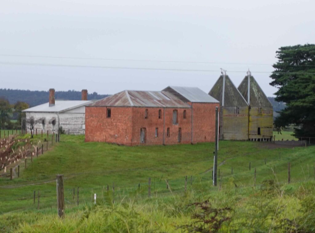
Historic farm infrastructure used for Hops
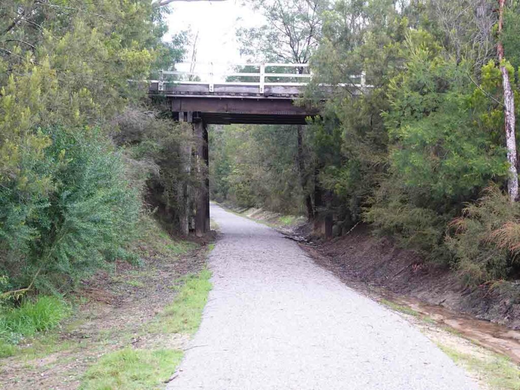
Underpass on trail
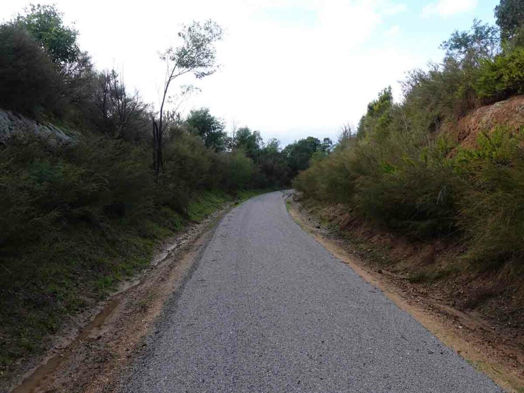
Compacted trail base. It looks like they were preparing the trail for bitumen
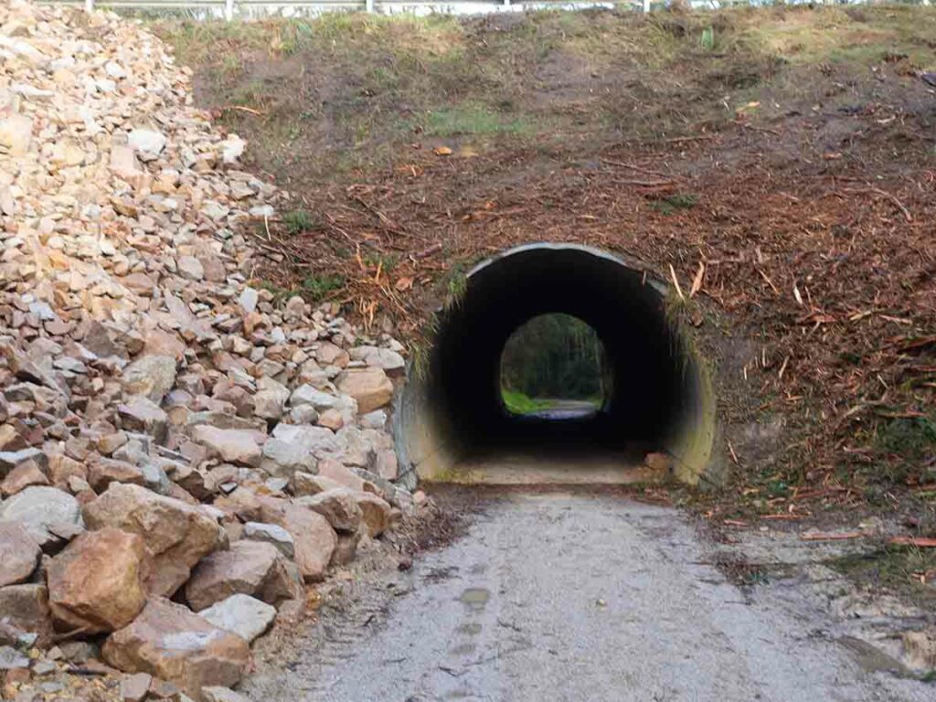
Small tunnel on trail
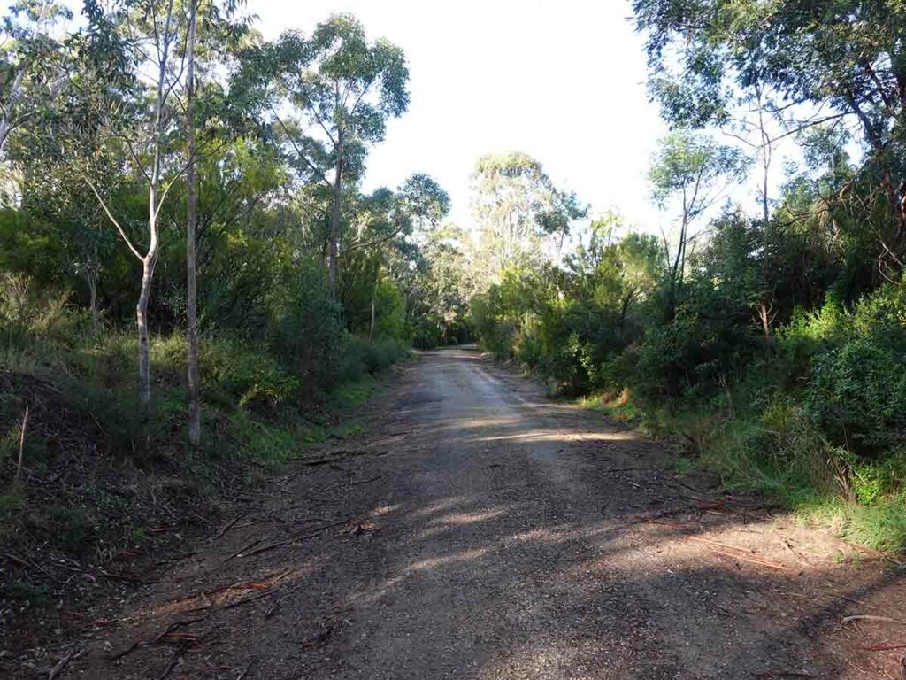
Trail example day 4 – more natural than in some sections
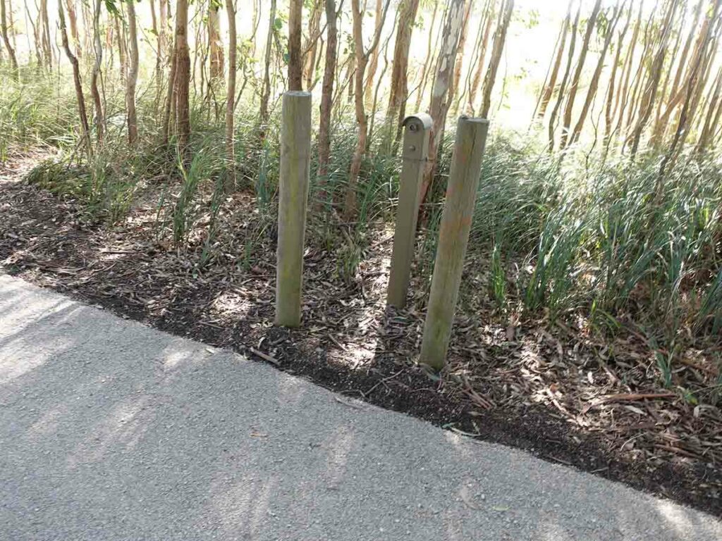
Trail counter
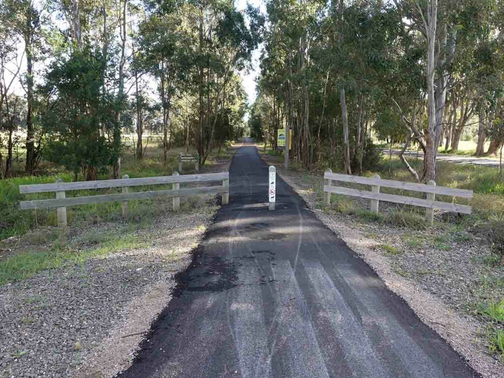
On to bitumen trail
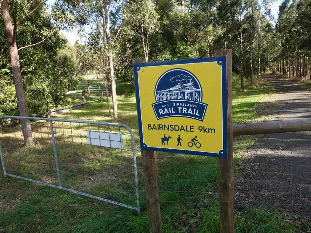
And the countdown commences
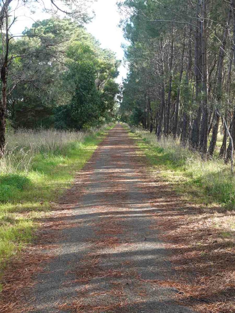
Trail example
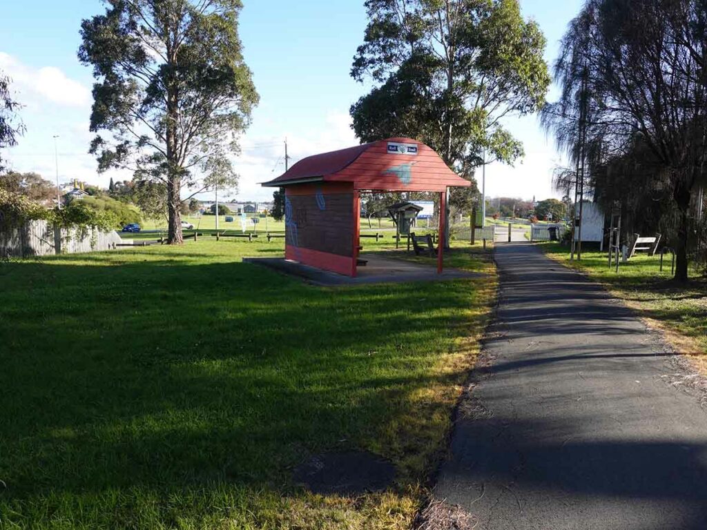
Bairnsdale trailhead
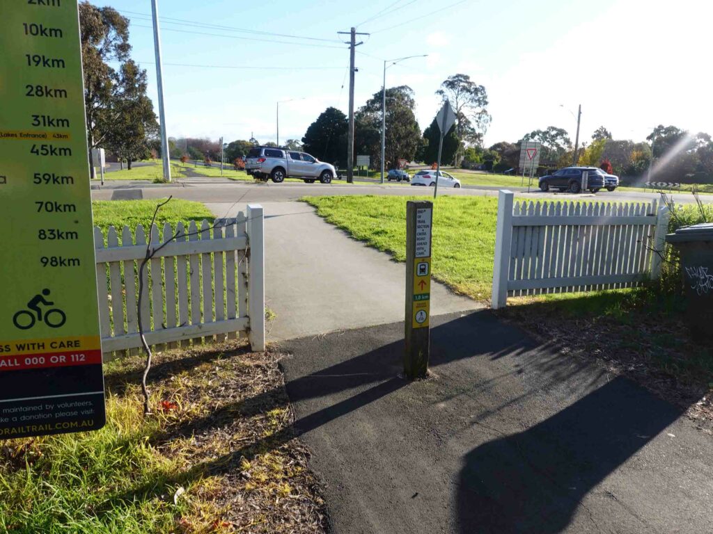
2km to Bairnsdale Station
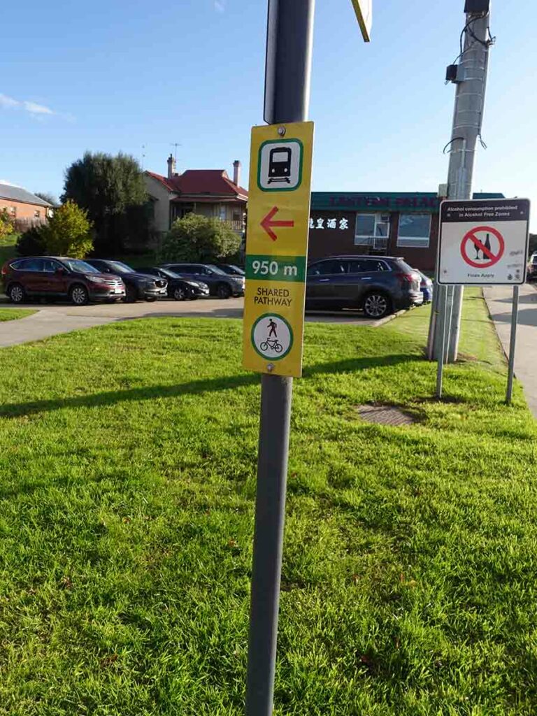
Almost to the train station

Bairnsdale Trail and Coach Station – the end of the walk
Flora, fauna and the broader environment
- This trail is a combination of bushland and rural landscapes
- Limited animal life. One Kangaroo, one rabbit and one Lyrebird. Lots of Kookaburras and other birdlife
Cycling?
The East Gippsland Rail Trail is a multi purpose trail designed for cyclists, walkers and horse riders. If cycling, I’d suggest you do the trip as a 3-4 day trip given the accomodation spread is better suited to cyclists. As a walker you need to do some big days to get from accomodation to accomodation
Final thoughts
So now that I’ve finished this trail what do I think? Lets start with the negatives. Firstly I have to be honest, this is a multi-purpose trail and as such its not going to win any prizes for remote travel and solitude although I had the trail to myself for much of my trip. In addition there are no panoramic vistas like you would get on a dedicated hiking trail. Due to the inability to camp along the trail (legally) its going to require you to do some big days to go from accomodation to accomodation. So if you are a new hiker or someone who isn’t into doing big days, then this may not be a viable option.
What this trail does have going for it is a lack of hill ascents and descents, no requirement to navigate apart from paying attention and a spectacular introduction to railway history. I probably knew more about the US rail system than I did about Australia’s historic past and from this trip, I’ve learnt a lot.
Even though this trip was only four days long, it gave me a great opportunity to think which is something I love about doing long distance trails. In fact given this trail is extremely easy to follow its easy to tune out while letting your body go into autopilot.
The reason I chose this trail was at the time it best fit my schedule and didn’t require me to spend excessive amounts of time travelling to and from the trail. The vast majority of rails trails are in Victoria and provide a great resource over and above designated hiking trails. You just need to let go of the purist mentality that these aren’t bushwalks, they’re not, but they are hikes and that’s all that matters.
Trail video
This 13 minute slide show consists of photographs and video images that will take you on a visual 4 days journey on the East Gippsland Rail Trail
Getting There

This map shows the location of the East Gippsland Rail Trail which runs between Orbost and Bairnsdale in Victoria. Access to this trail can be by a combination of commercial transport and/or car
Things to Know
- Phone: The phone coverage is excellent on the majority of this trail as is internet signal for much of the distance on the Telstra network
- Water: Water is readily available during the colder months with water sprinklers closer to the towns
- Toilets: There are toilets along this trail but not consistently and they better suits cyclists. You should bring a trowel for in-between just in case
- Trail: This trail consists of wide formed track including sections of bitumen
- The gradient on this track is so gradual you don’t really notice it
- Dogs: Dogs are allowed on a leash but you will need to check with the accomodation providers along the track to see if they will accept dogs
- Gear
- Pack
- Spend some time considering what you will carry and don’t be tempted to fill your pack if its on the large side. Carry luxury items by all means but do so because you are going to use them/want them
- As a four day walk you can mimimse what you carry but that’s a personal choice. See the link outlining what I carried on this walk
- I used a 36 litre pack on this hike but I have the level of experience and the lightweight compact gear to doing this
- Pack
- Accomodation
- You can tent all the way in designated campgrounds, stay at cabins providing you book ahead, or a combination of both
- Bus trip from Bairnsdale to Orbost
- There is a coach service that runs between Orbost and Bairnsdale that in my case took me back to Orbost. Information can be found at https://www.vline.com.au/
- Other:
- Which direction you travel will be up to you but given the distances I would suggest you start in Orbost as it will provide an easier start to the trip leaving the biggest day for last
- If you stay in commercial accomodation rather than tents then you don’t need to carry a battery pack to recharge electronics
- If travelling by car then talk to the motels at each end about the option of leaving your car there until you return
- Buy the guidebook for this hike from Rail Trails Australia as this will greatly assist in the planning process
- Bring wet weather gear just in case

East Gippsland Rail Trail pack for Tim
Rail Trail Resources
Gear Lists
Everyone has preferences in relation to gear they carry on a hike. The following lists the gear that Tim took on this trip
Disclaimer
This walk was undertaken by the team from Australian Hiker