Mount Coot-Tha Summit Walk QLD (6.31km)
Mount Coot-Tha Forest
What's going on with the distance?
If you are new to this area be advised that you will find reviews quoting distances ranging from 1.9 km to 6+ km, here’s why:
- The signage on the trail is quoted in one direction so you need to double what’s on the signage
- We walked this trail
- The distance will depend on where you start. We started our walk at one of the many car parks close to the entry road and the sign just behind our car quoted 2.675 km one way
- We visited JC Slaughter Falls on the way back which added an additional 460 metres and based on that, our figure of 6.31 km is pretty close
- I use two GPS’s on most hikes just to confirm the distances. My two ended up reading 6.31 km and 6.4 km on the day we walked this trail
Nearest town
The closest suburb to the trailhead is Mount Coot-Tha, Queensland
Starting Location
Mount Coot-tha Reserve (Mount Coot-tha Forest). The reserve is restricted at J. C. Slaughter Falls and the Simpson Falls picnic areas each night from 7pm to 6am. Where you park will change the distance of this walk

Finish Location
Mount Coot-tha Reserve (Mount Coot-tha Forest). The reserve is restricted at J. C. Slaughter Falls and the Simpson Falls picnic areas each night from 7pm to 6am
Best Time of the Year to Walk
Year round
Mount Coot-Tha Summit Walk Review
A few times a year we visit family in Brisbane and on this visit it had been a couple of years. Where possible I always try to do at least one walk and previously I headed to one of the National Parks which usually meant a round trip of several hours. On this visit I was a bit smarter and came across the Mount Coot-Tha Forest which is less than 8 km from the Brisbane GPO. It’s an urban forest that contains dozens of walks of varying lengths. I don’t know why I hadn’t used this location before because it just makes it so easy.
On this visit we thought it made sense to do the summit walk and while its possible to drive to the summit to get the views we wanted, we weren’t disappointed with the walk. As non locals we entered the forest and looked for the first available car park but if you get there early in the morning, you can save yourself around 1.5 km by continuing along the access road to a location that suits. The facilities on this trail are amazing with almost the entire trail being sealed with a few exceptions where you cross natural rock or if you choose you can take the side option to JC Slaughter Falls (waterfalls), either on the way up or the way down. There are toilet facilities along the car park areas in addition to the summit itself. This really is an excellent area that includes everything you need for a family day out.
The walk itself is through treed forest and even though you are so close to the city, it doesn’t feel you are. On arriving at the summit you access the main summit road and veer right a short distance walking through the summit car park and then onto the main viewing area which provides two options. The first is the large open viewing area and just to the rear is a raised rotunda that lifts you above the main area providing some different views. We took the opportunity to purchase a cool drink at the summit along with a snack and it would be so easy to time your walk for morning tea or lunch at the summit depending on when you start.
After we had taken in the summit views we start our descent back the way we came on to the JC Slaughter Falls. On the day we did this walk, there was barely a trickle and while it wasn’t a huge detour to get to the falls it really needs some heavy rains prior to your visit to get the benefit. If it’s been dry for a while, skip the falls. From the falls we made our way back through the various picnic areas and car parks for the end of a great walk.
There wasn’t a lot of wildlife but what was there was of the feathered kind including a couple of Juvenile Brush Turkeys. We were really happy to have discovered this recreation area and will be using this area to do more walks in the near future particularly as we always tend to have limited time.
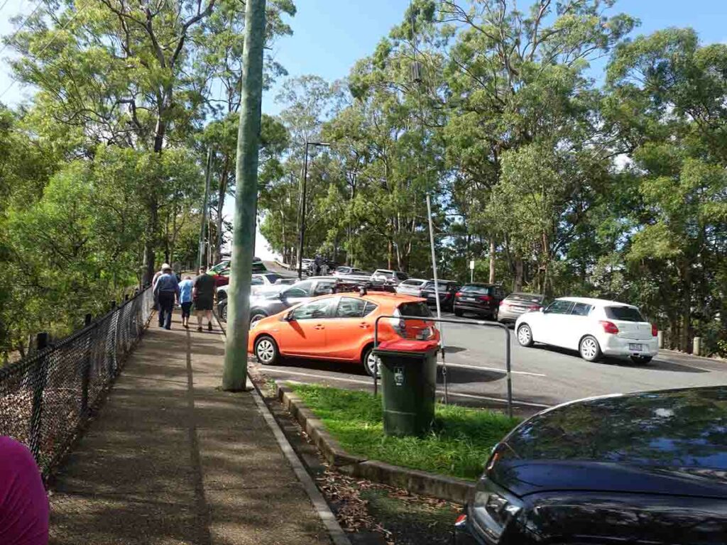
Mount Coot-Tha car park
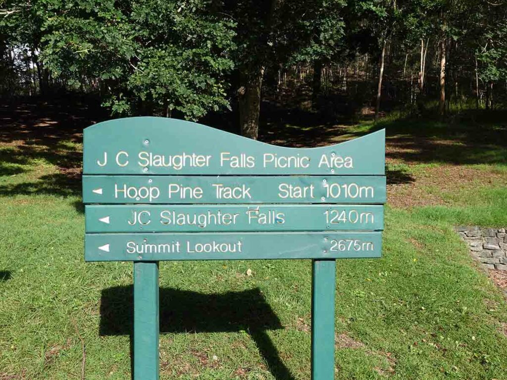
Sign at trail start. The distances listed here are one way only
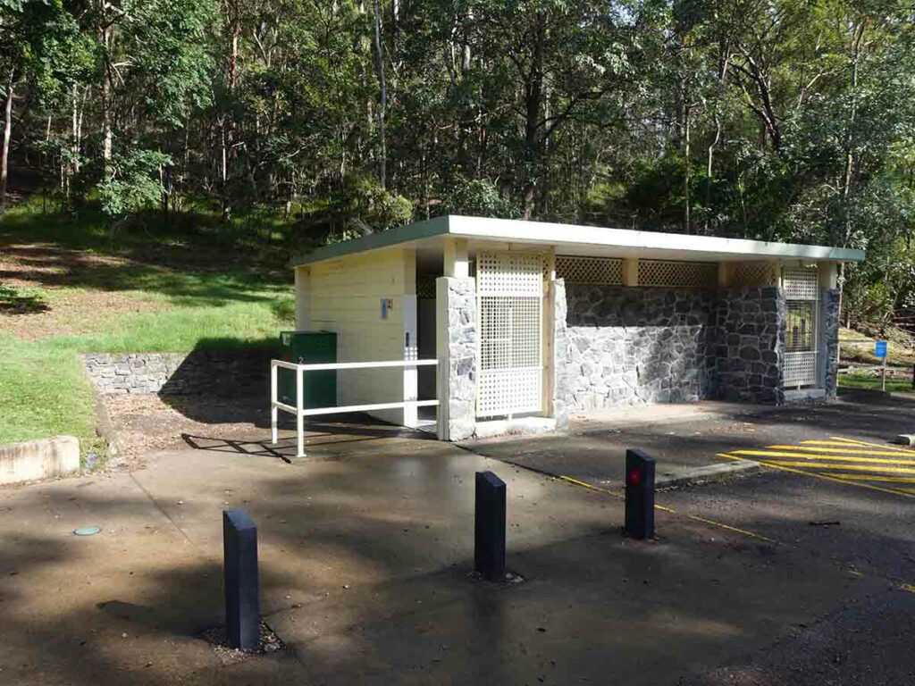
Toilet block at trail start
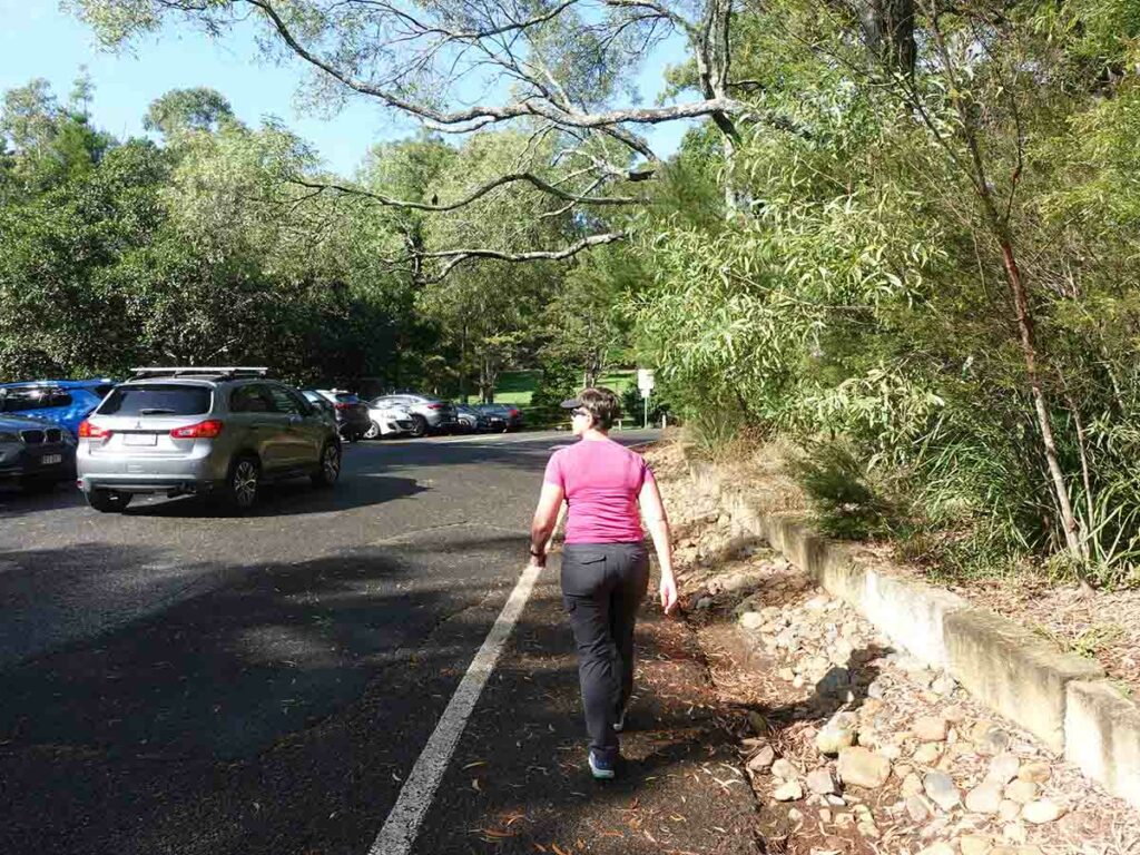
Off we go walking through a series of car parks and picnic areas
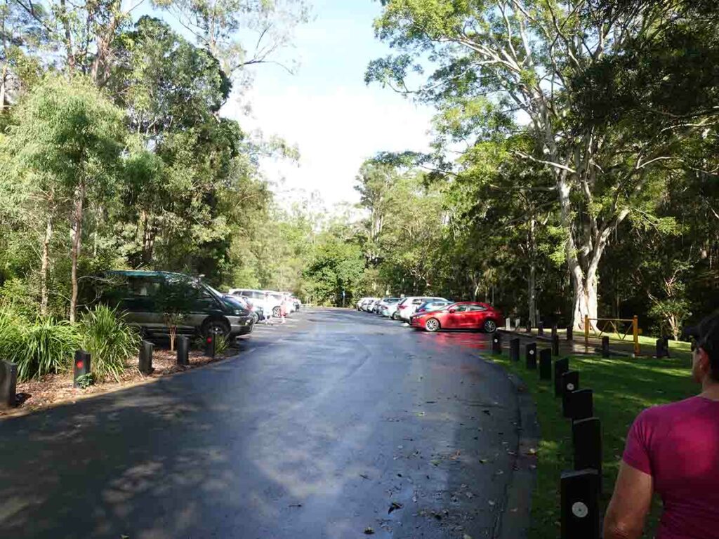
One of the many car parks at Mount Coot-Tha
Mount Coot-Tha trail facilities
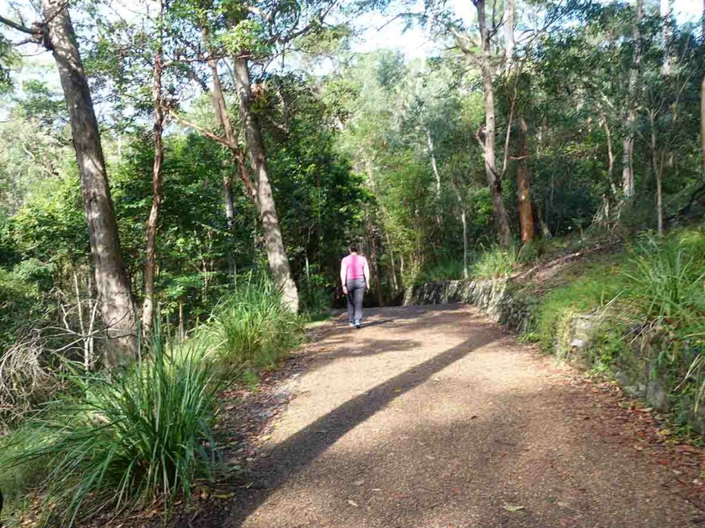
Trail example Mount Coot-Tha
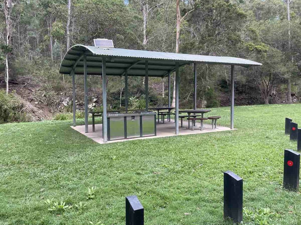
Picnic area all the access road. This is a great place for a family day out
Trail example
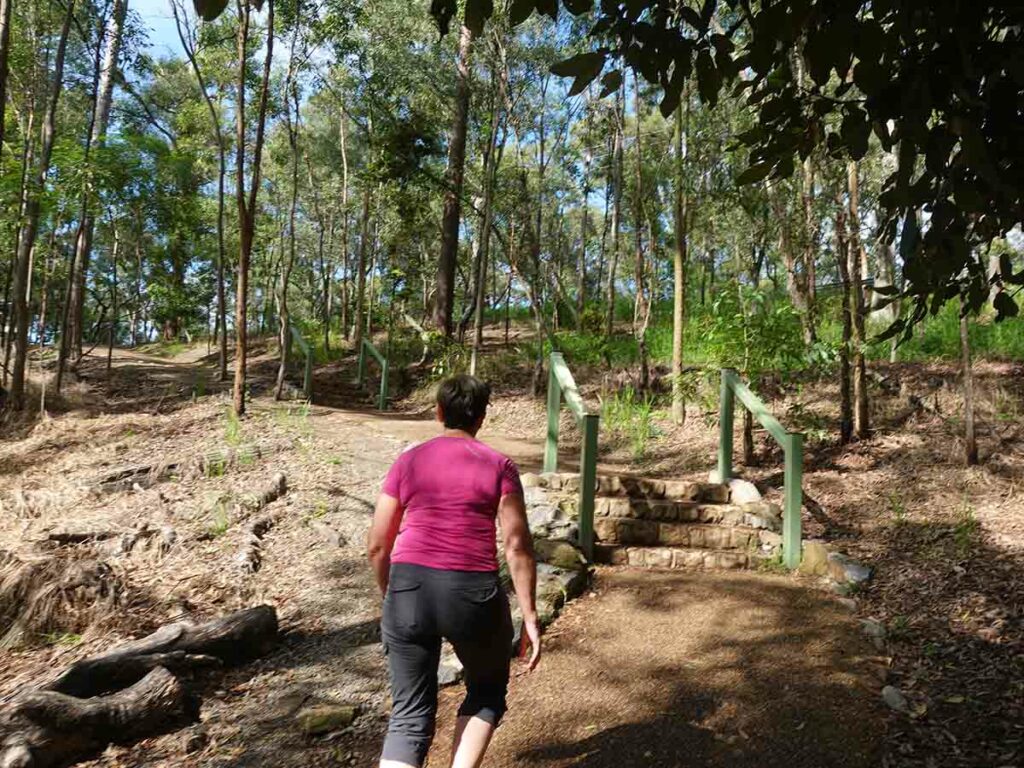
Approaching the summit
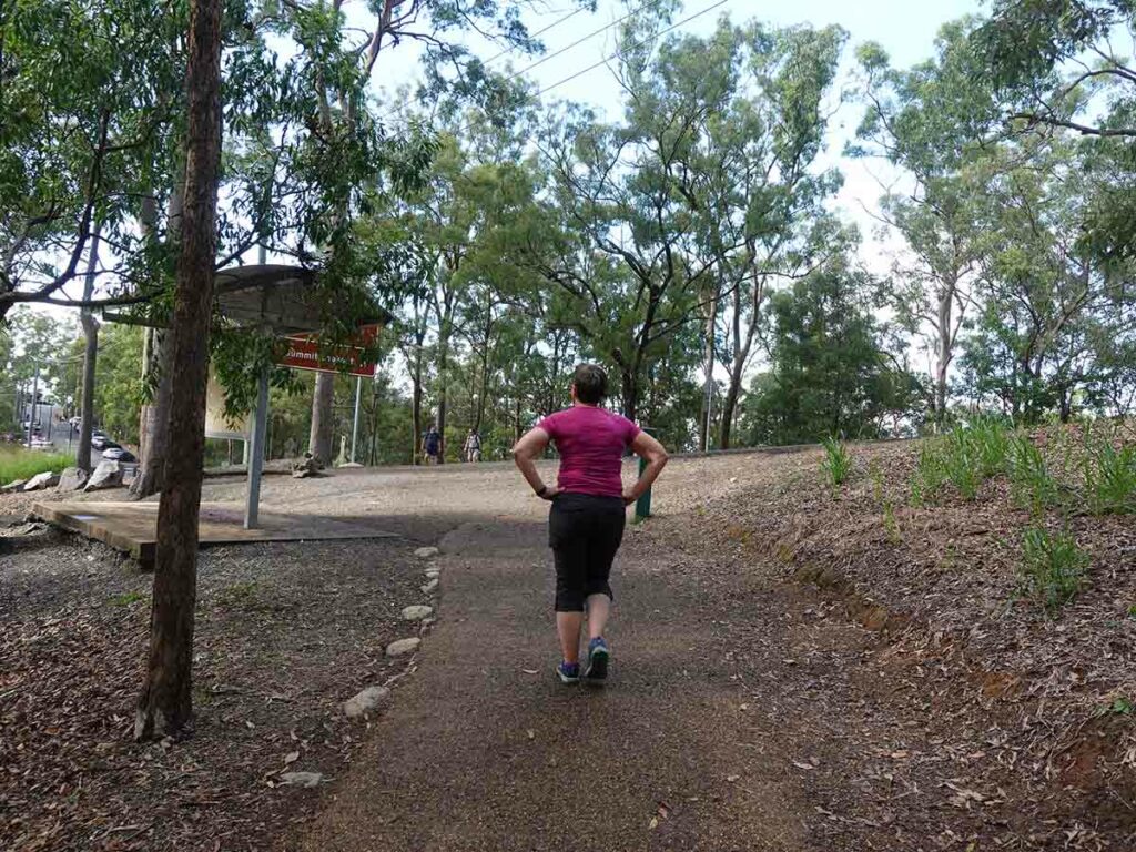
On to the summit road
Summit car park
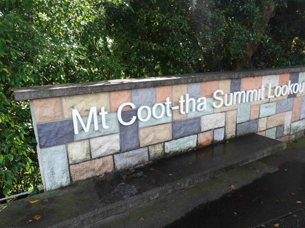
Mount Coot-Tha summit sign
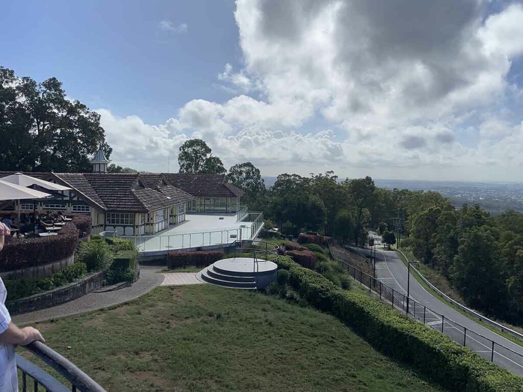
Summit infrastructure including a great little cafe for a morning tea or lunch break
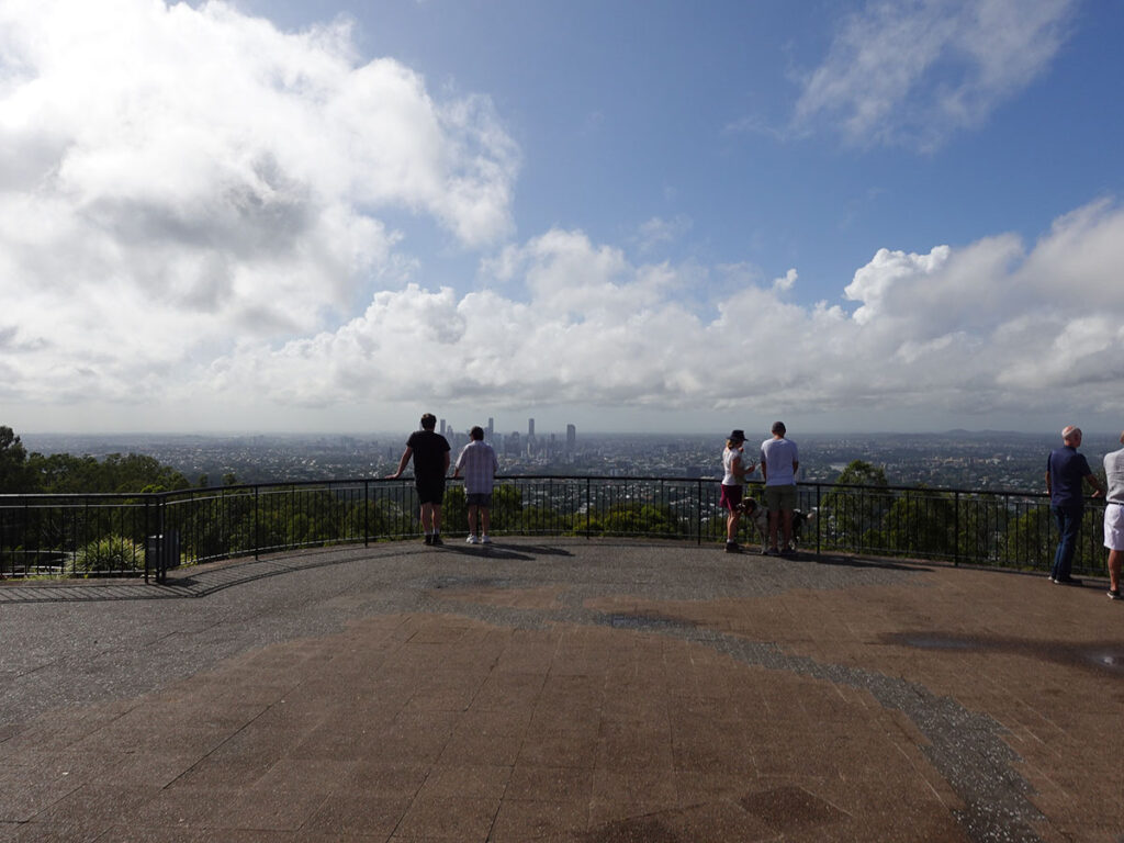
Mount Coot-Tha summit view

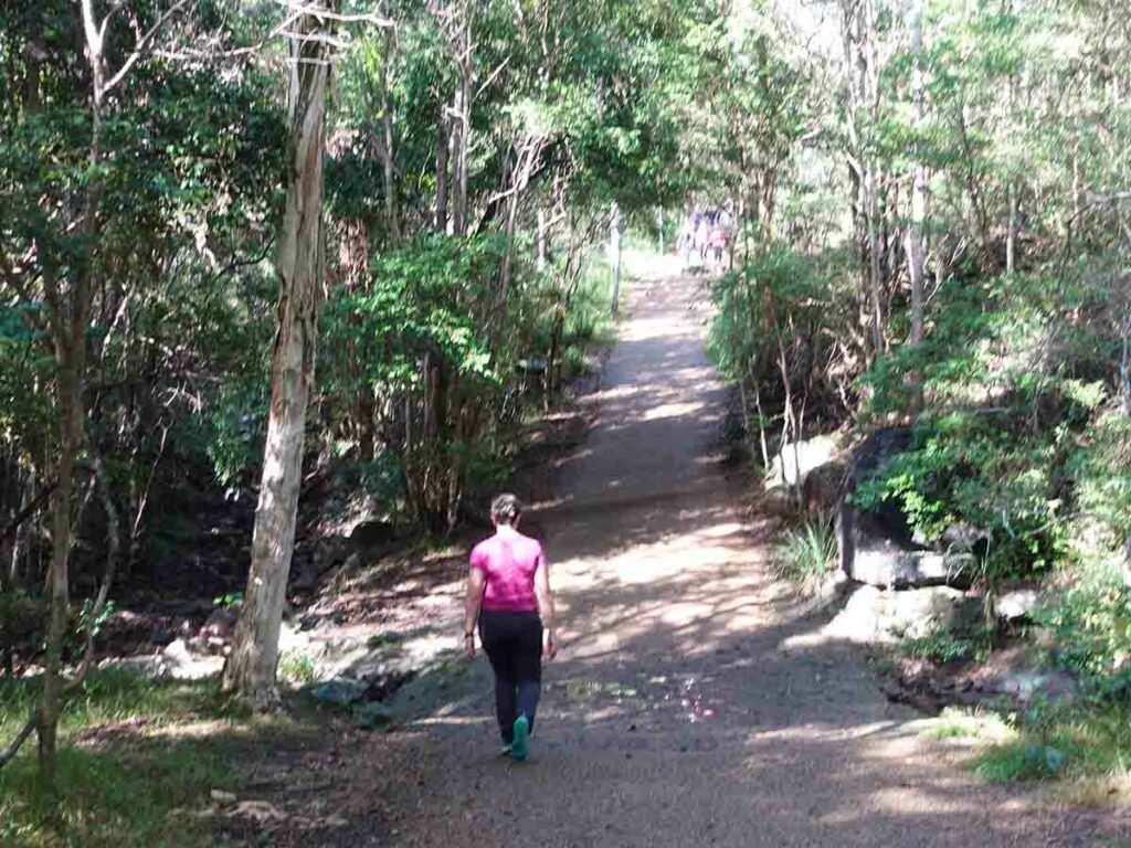
Heading down
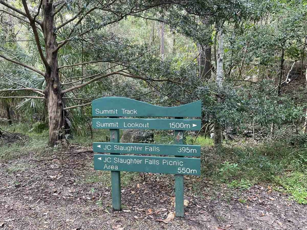
Heading to the Slaughter Falls on the way back to the car park. This will add about 500 metres to the walk. Please note that there needs to be good rains prior to visiting otherwise the falls will be dry
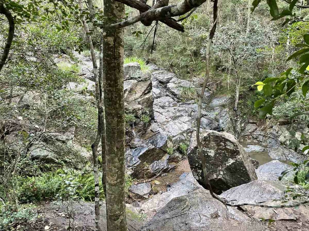
Slaughter Falls, dry on the day we visited
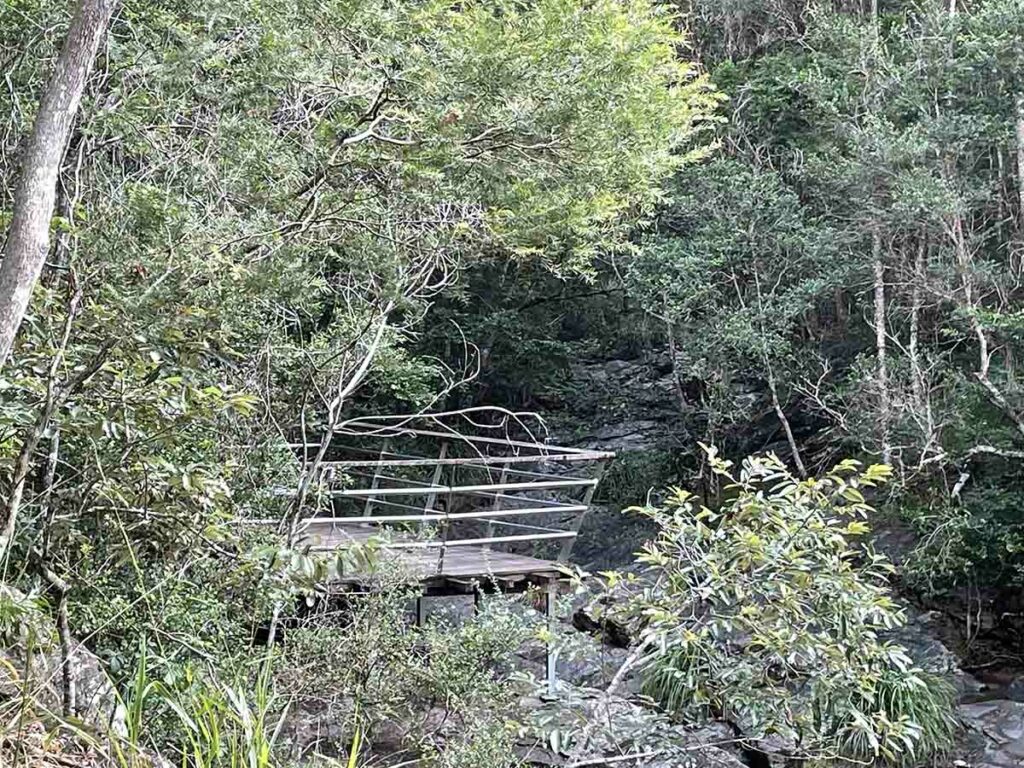
Slaughter Falls viewing platform
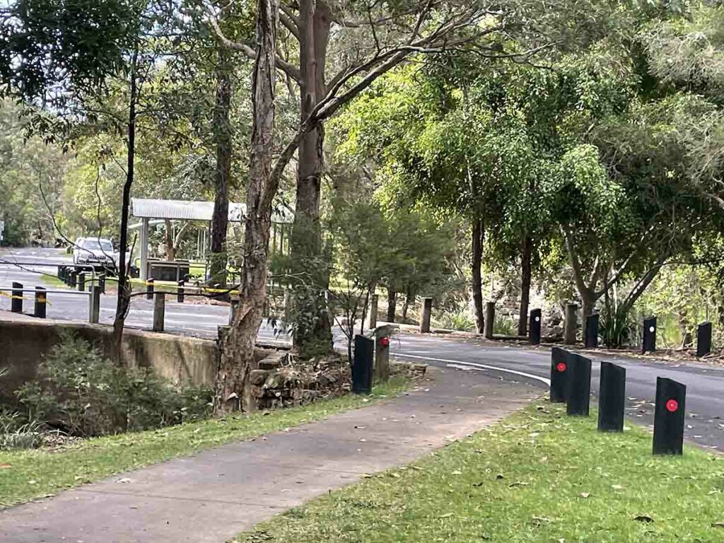
Weaving back through the car parks
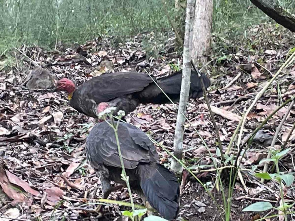
Australian Brush Turkey
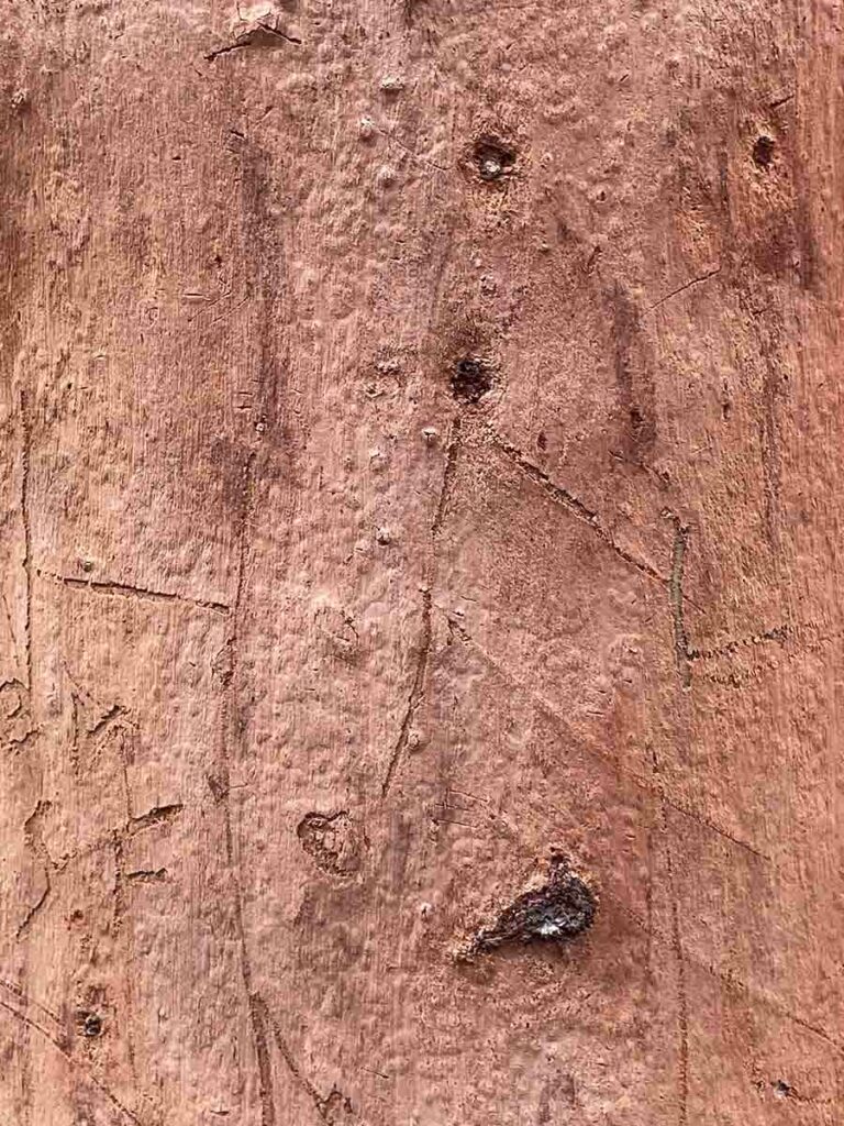
Pretty bark
Mount Coot-Tha car park
Trail video
This short video contains photos and videos to show you the walk from start to finish
Getting There
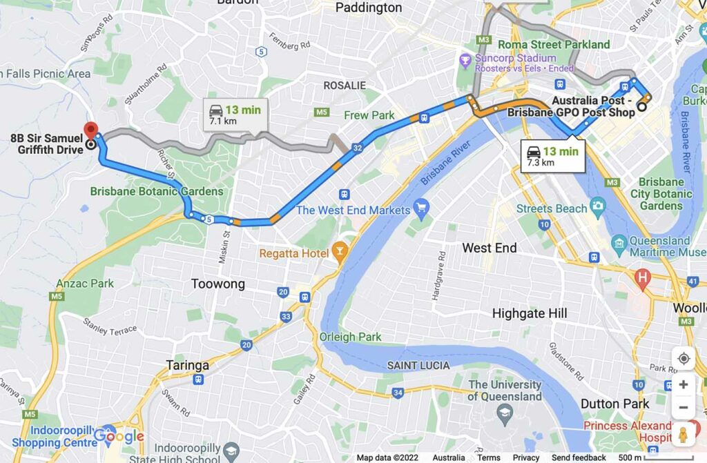
Close up of map to trailhead which is under 8 km from the Brisbane GPO and a 13 minute car drive
Things to know
- Phone: There is good phone signal on this trail (Telstra)
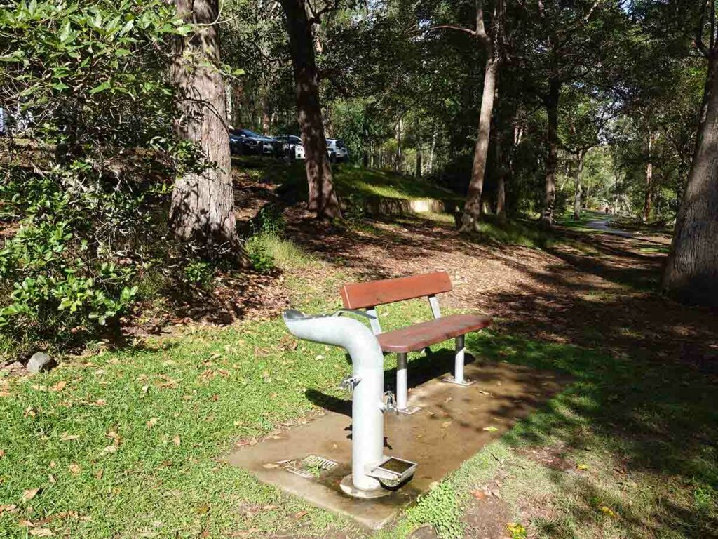
- Water: There are regular water bubblers along the trail and a cafe at the summit to buy food and drink
- Toilets: There are toilets on this trail at the summit and the lower car parks
- Trail: This main walk is on sealed trail. Once you go off-trail to the JC Slaughter Falls the trail becomes natural
- Dogs: Dogs allowed on leash
- Camping: NO camping allowed
- Other:
- This trail is very popular so if you want a bit of solitude start early
- No camping is allowed on this trail
Disclaimer
This walk was undertaken by the team from Australian Hiker