Coast Track, NSW (27km)
Royal National Park
Nearest Town
Bundeena, NSW. This trailhead is only 59km from the centre of Sydney
Starting Location
- The trailhead is located on the edge of Bundeena
- Th car park will hold about eight cars. Get there early otherwise you will need to park down the road
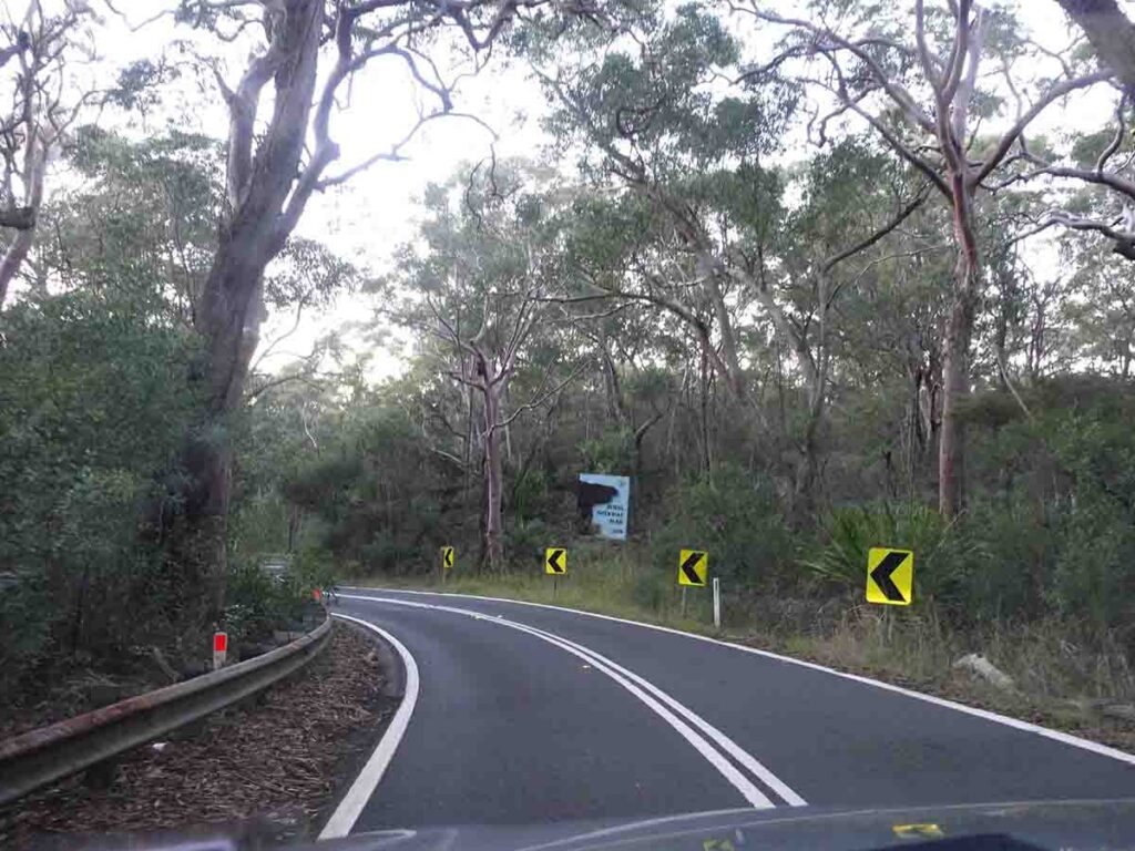
The road into Bundeena is narrow and sometimes you just need to wait to get past the cyclists
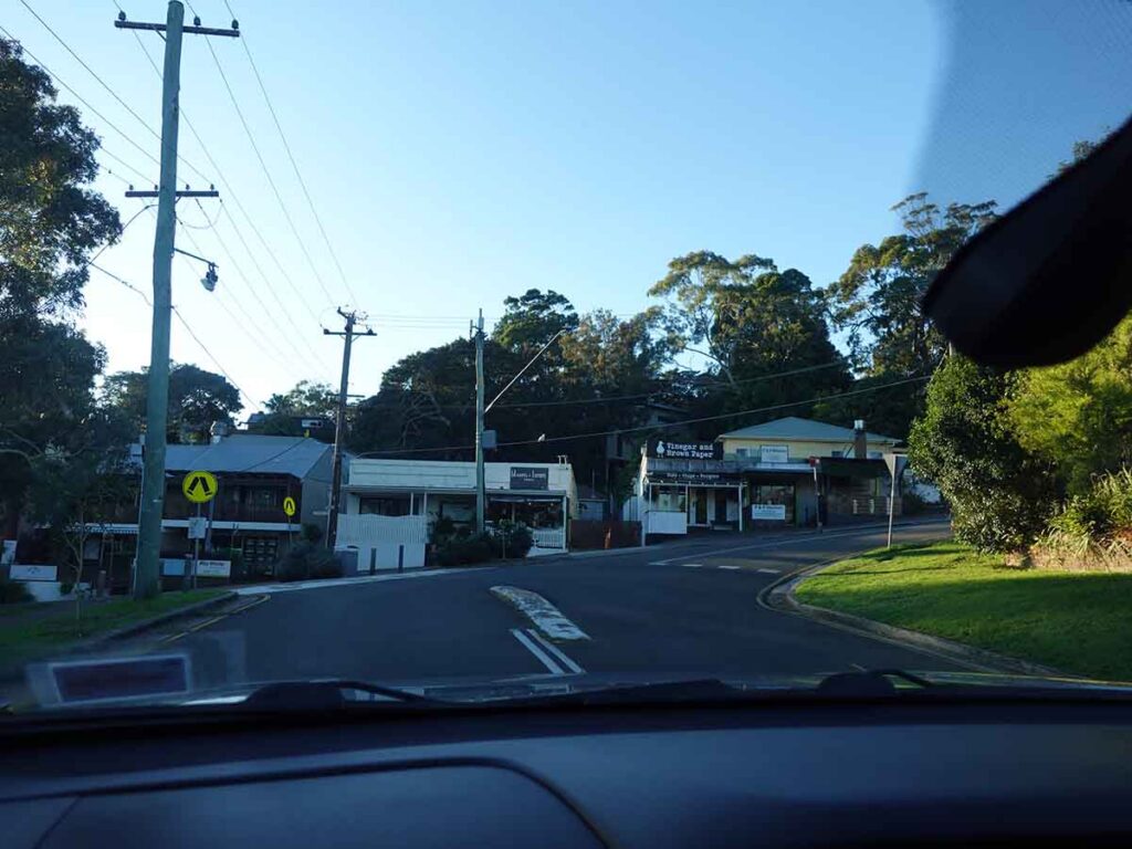
Through Bundeena
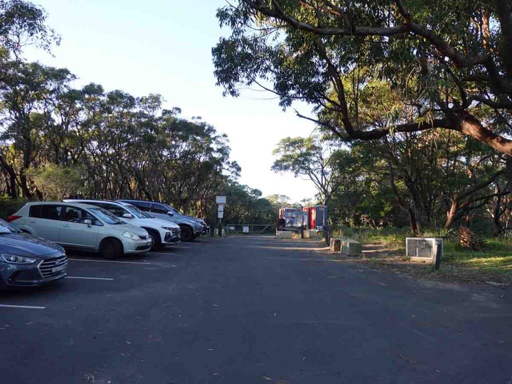
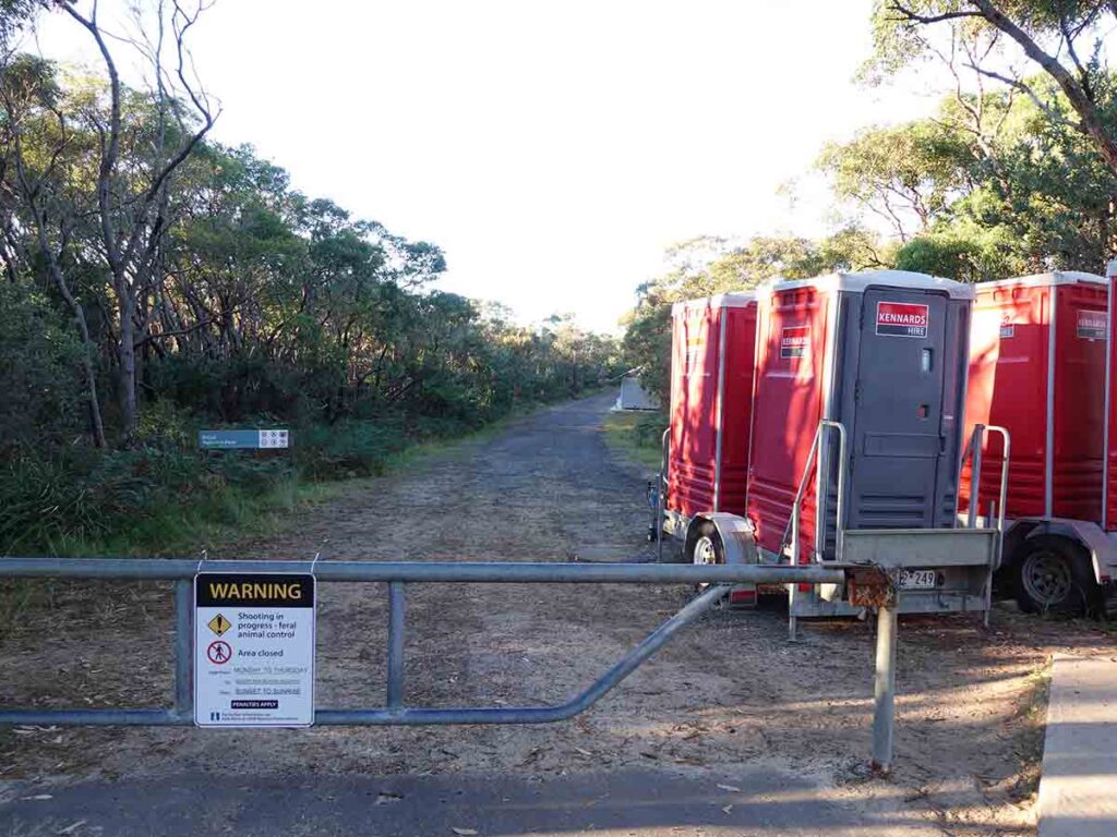
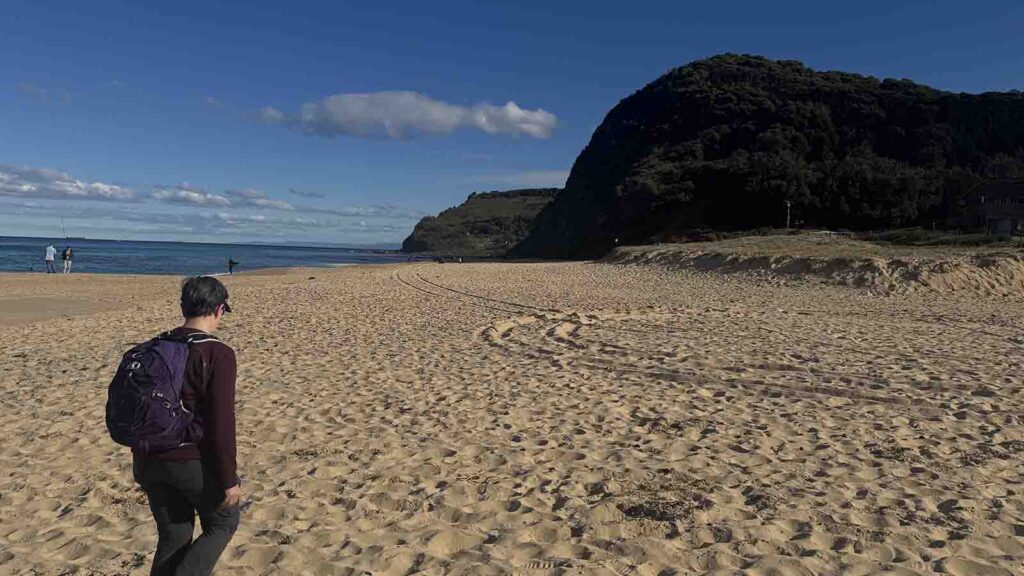
Trailhead parking at Bundeena
Finish Location
- Otford
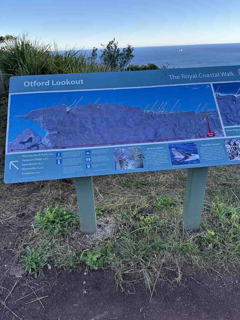
Trailhead start/finish at Otford
Best time of the year to walk
Year round but avoid mid summer heat as you are out in the open for a lot of this walk
Coast Track, NSW Review
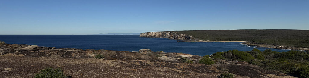
The Coast Track is located in Royal National Park on the southern side of Sydney. This is a walk I have been trying to do for a number of years but for various reasons I could never quite make it! Finally Gill and I picked the perfect weather window and had a spectacular day doing this 27km walk in a single day. So much so, this walk will be added to our top 10 walk list in the next time we update.
If you don’t have the fitness then look at doing this walk over two days. If you feel like a physical challenge then allow about 10 hours and coordinate transport at the end of the trail (more on this later).
This walk goes by a number of different names; Bundeena to Otford Walk, Royal Coastal Walk (on the trailhead signage), and the name on the NSW Parks website of the Coast Track. I must admit a name like the Coast Track could be anywhere in Australia. One thing you may not know about Royal National Park is that it’s Australia’s oldest National Park, and the world’s second oldest National Park after Yellowstone in the USA.
For Gill and I this was a long day leaving home in Canberra at 4:30am and returning after the day hike at just on 9:00pm. Next time we visit Royal National Park we’ll make a weekend of it and do a number of the smaller walks on offer. The walk itself took us just over 9 hours but a part of that was the sheer number of photos that I took!
Once you get into Royal National Park the road is narrow and winding. The large number of cyclists on the road meant we found ourselves on several occasions waiting for a clear view ahead before we could overtake. We did stop at Beundeena township on the way through to use the toilets at the sports ground but discovered when we got to the trailhead there were toilets there.
It’s worth noting that this national park requires an entry fee if you drive in. We hold an annual pass for all the NSW National Parks which turns out to be a cheaper option considering the number of hikes we do.
The car park at the Bundeena trailhead is very small and at best you will fit about eight cars otherwise you will ned to park down the road. We arrived just before 8:00am and there were a few empty spots but that might be a different situation in the warmer months of the year.
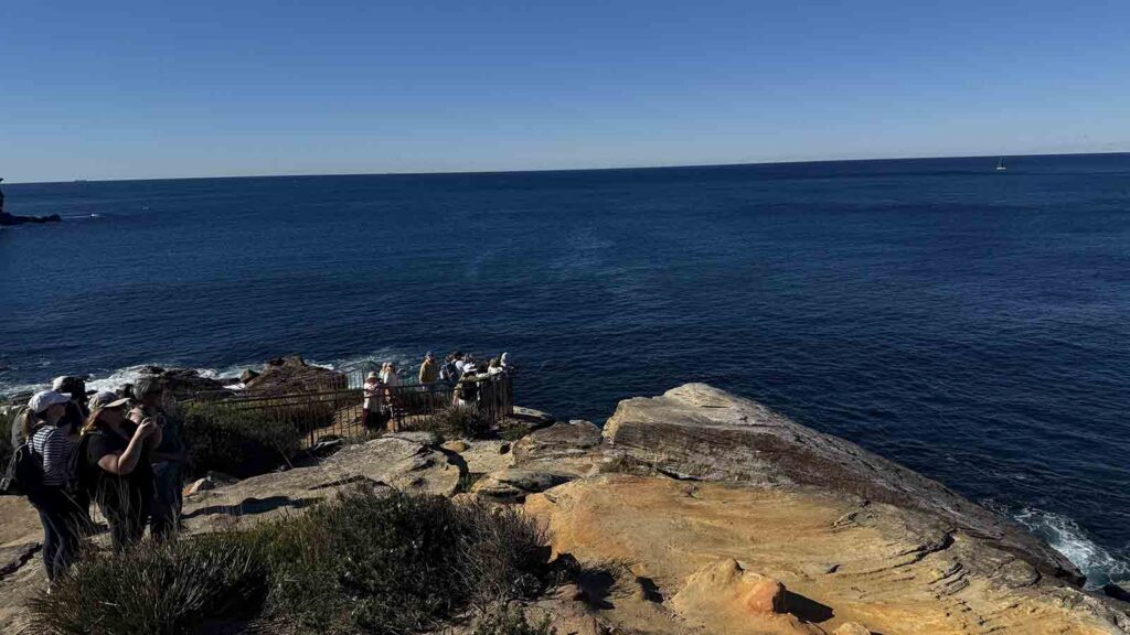
The Coast Track has a reputation for two particular reasons. The first is that the Bundeena trailhead is the closest to the Wedding Cake rock which is about 3km in from the trailhead. This cliff face is topped with a specific piece of white rock that is layered (hence the name) and for many years people would sit on the cliff edge and have their photos taken. For a number of years now there a decent fence has been in place to prevent this from happening and a rather obvious sign saying there is a $3,000 fine if the rangers catch you on the wrong side of the fence. Apart from the potential risk of falling of the cliff edge, this section of cliff is classed as being very unstable and geotechnical experts had indicated that the main rock formation will fall into the ocean without notice at some stage. In other words don’t do it! Even so, I found this vantage point to be a bit of an understatement.
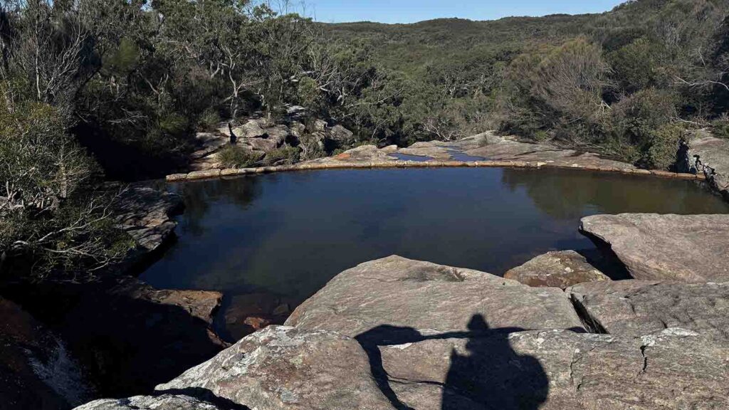
The second highlight is the Figure of 8 Pools in the southern half of the trail. Like the name suggests, its look like an ‘8’. By the time we got there the tide was pretty much at its highest and the water was coming in over the rock platforms so we didn’t even attempt to access this site. If you are going to do the whole all in one day, you are best doing this in the warmer times of the year when the days are much longer rather than the day before the shortest day of the year which was when we did it.
We had one car that day so Gill dropped me off at Bundeena and I started walking at 8:10am. She then drove down to the Otford Lookout trailhead and started her walk towards me just on 9:00am. The idea was to meet half way but it didn’t quite work out that way.
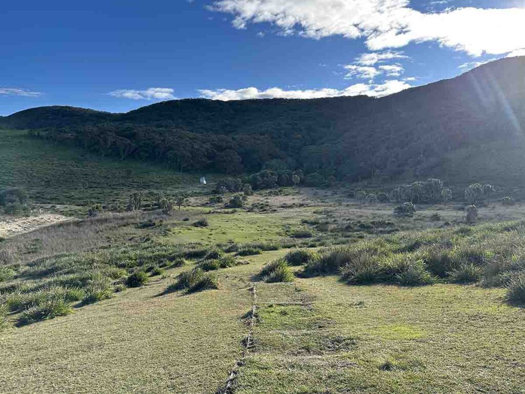
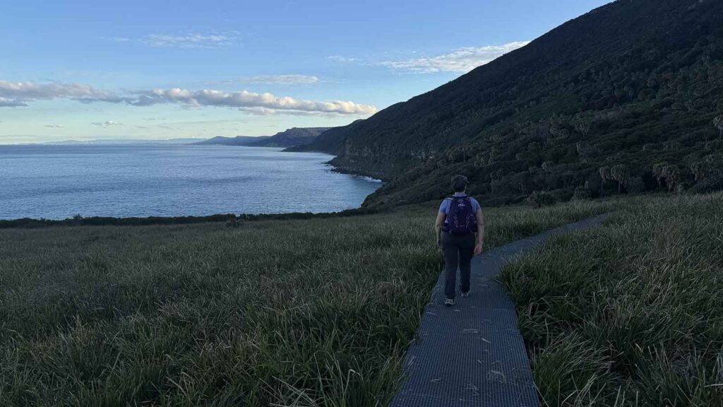
I was stunned at the amount of plants in flower and took an awful lot of photos in the first few hours which probably cost me about 45 minutes of travel time but hey that’s my thing! The majority of this walk is spent hugging the clifflike but in most cases there was a good buffer so you never felt unsafe. A lot of walkers were going off-trail to spend time closer to the ocean but the views from the trail itself were spectacular.
There were a lot of trail runners early in the morning coming both directions so I found myself pulling off the side of the trail on a regular basis. The trail itself has large sections of metal mesh and given I use trekking poles, in hindsight I would have brought my chunkier pair I use for around town that have larger rubber tips as trekking poles with the smaller tips just get jammed in the mesh. There were enough natural sections that I found myself carrying my poles on a regular basis.
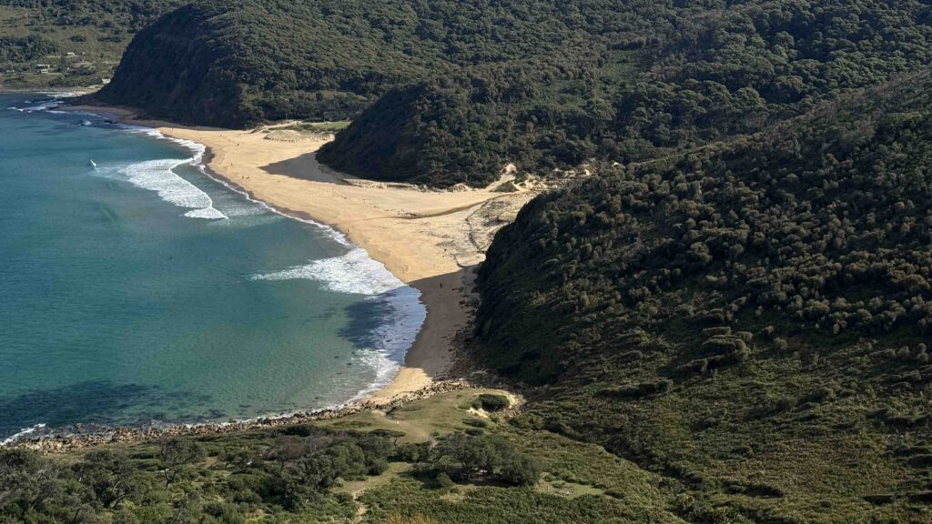
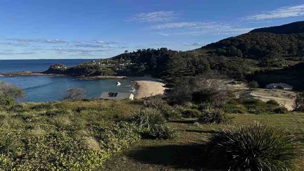
At around 11:00am I reached the Wattamolla Reserve which has toilets, a lovely beach and some great places to have a picnic. It was at this stage that the trail picked up a large number of walkers but I wasn’t quite sure why until about 25 minutes later, I came back out onto the main cliff and this was where the whales started to appear. There were two whales slapping the water but unfortunately while I could see them, they were too far off shore for me to get decent images.
This was the busiest part of the trail by far as many walkers had spread themselves along the cliffs for a few kilometres taking in the whales. Most of these walkers were turning back to Wattamolla Reserve with very few going on to Otford. Until this stage the elevation change had very few steep sections and when there was an incline, it wasn’t for long. Around 13:30pm I reached the summit leading down to Garie and wasn’t that a change. It was very steep with lots, and lots, and lots, of stairs and as much as I wasn’t thrilled, I definitely wouldn’t want to walk up that section.
I met Gill at the beach below and she indicated she had arrived about 80 minutes before and chose not to head up that hill and instead stayed put. That was a good plan because she got a good video of two whales playing much closer to shore than the ones I had seen.
After eating lunch at Garie when headed on. At this stage we had two options. Option one was to head up a steep hill and back down a steep set of stairs. The other was to follow the beach which was a much easier option which is what we did. If the sea conditions are rough you may not have a choice so play it by ear on the day.
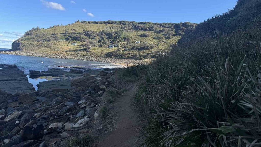
The rest of the afternoon was spent walking up and down a steep series of hills and this afternoon section was by far the hardest part of the walk. Gill walked in on this section but the trip to Otford Lookout drained us both given this was the end of a very long day. The northern section of the walk all was all about the views and the wildflowers, the whales and the views. The second half of the trail was about palm forests and small cabin communities. This was also where the Figure of 8 Pools is located.
We took our time getting down the hill the last bit hill to the car park.We eventually returned to our car at Otford Lookout at 5:38pm by which time it was close to nightfall. In hindsight a couple of headlamps wouldn’t have gone astray or else we should have started 30 minutes earlier.
This track is a spectacular walk and one I can’t recommend highly enough – it should be on everyone’s ‘to do’ list as a one or two day walk. If you haven’t already done the Coast Track, schedule it in – you won’t be disappointed!
Trailhead parking at Bundeena
Through the gate to start the Coast Track
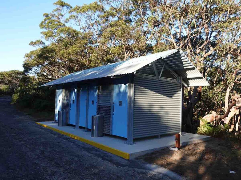
Toilets about 70 meters after you start the walk
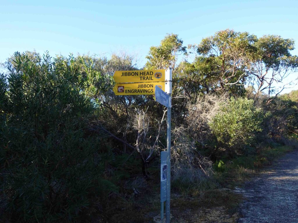
The rock art trail is a seperate walk and is well signposted
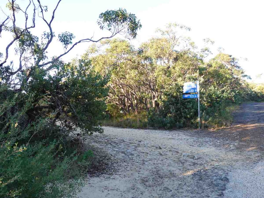
The turnoff on the Coast Track
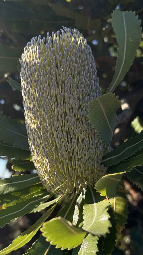
Banksia in Flower (July)
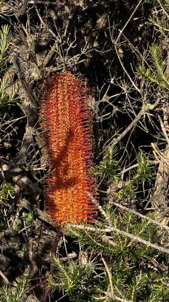
Banksia species in flower
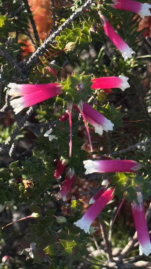
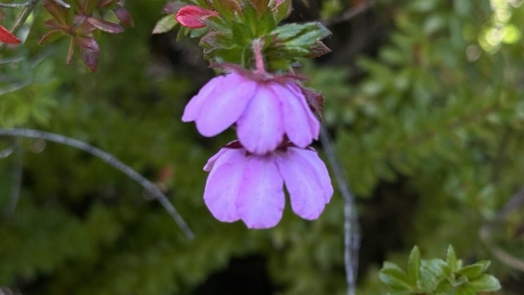
Epacris species
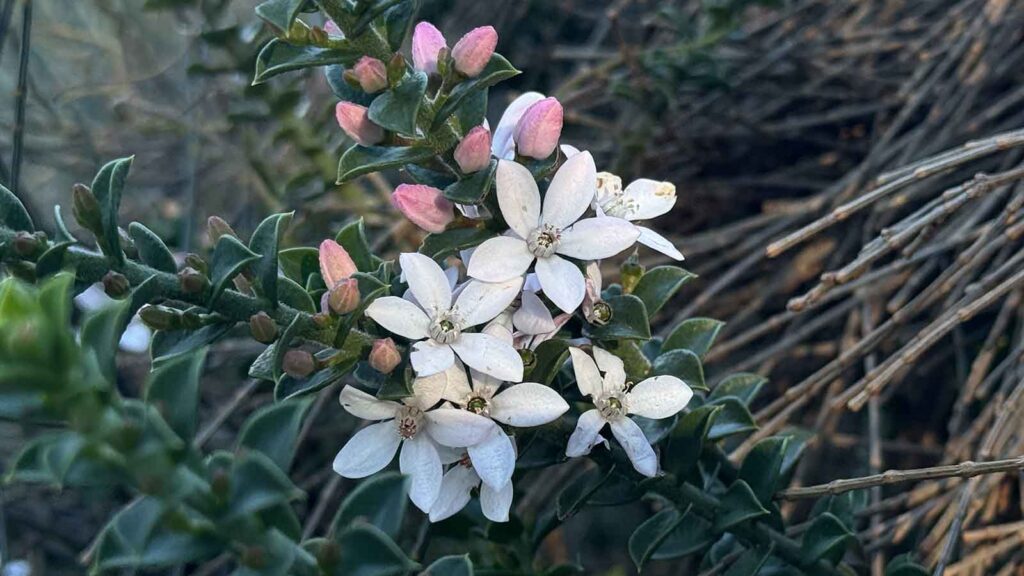
Phylatheca Specis
Dog Rose in flower
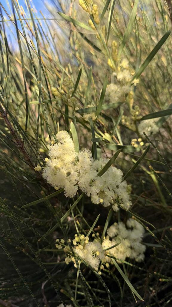
Wattle in flower
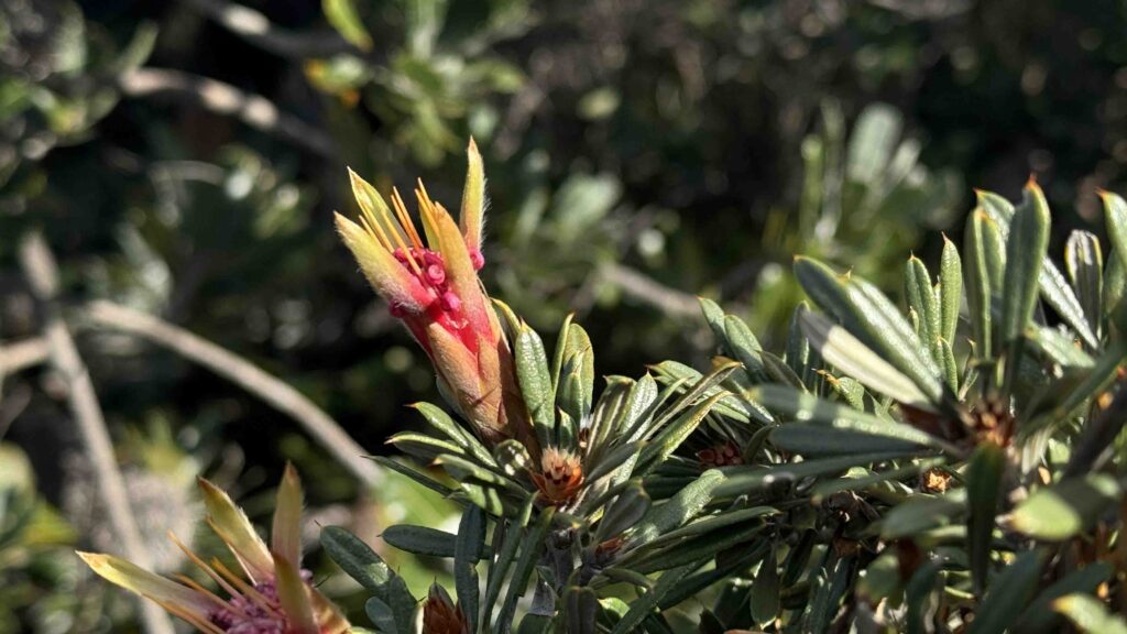
Lambertia species in flower
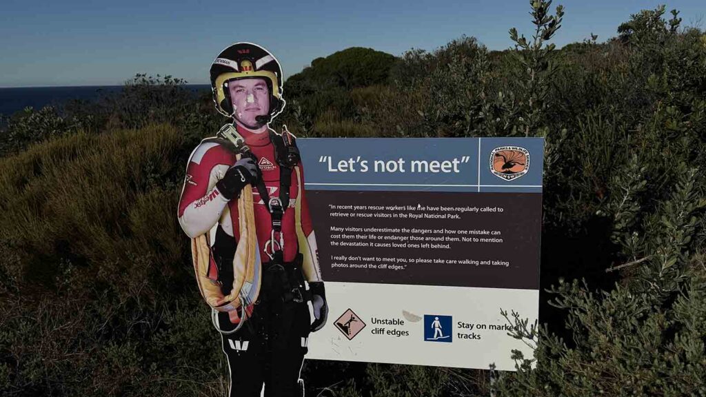
Warning sign. Keep clear of the cliff edges
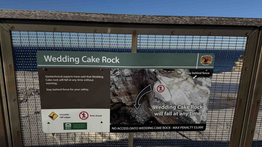
Wedding Cake Rock warning sign
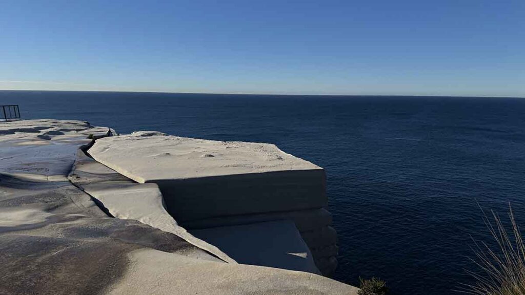
Wedding Cake Rock. DO NOT go over the fence!
Down on to the first beach, Marley Beach, heading south
Trail example
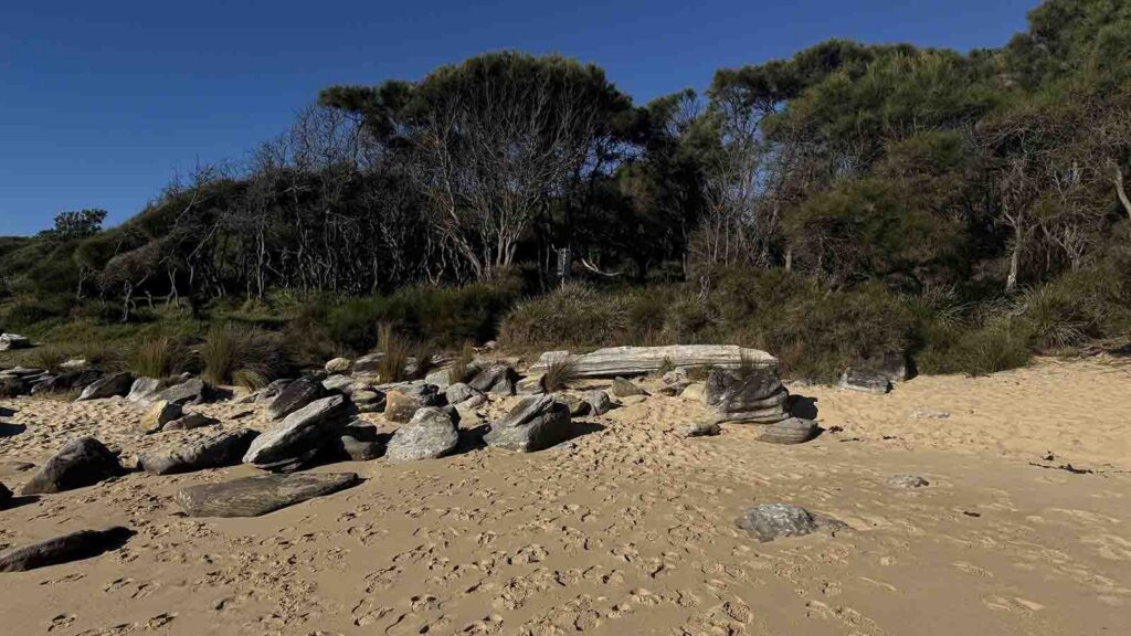
Little Marley Beach, just over the hill from Marley Beach
Another beach
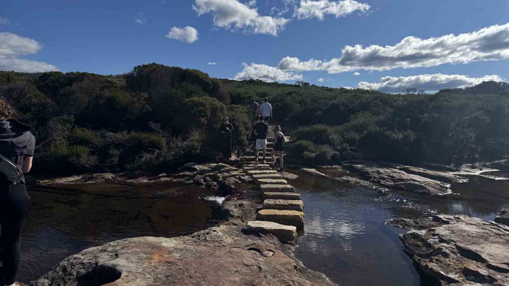
Creek crossing
Crossing of a potential wet area
Scenic view, one of many
Time for a swim if the weather is warm. On the way down to Wottamolla Reserve
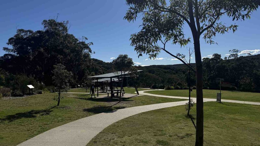
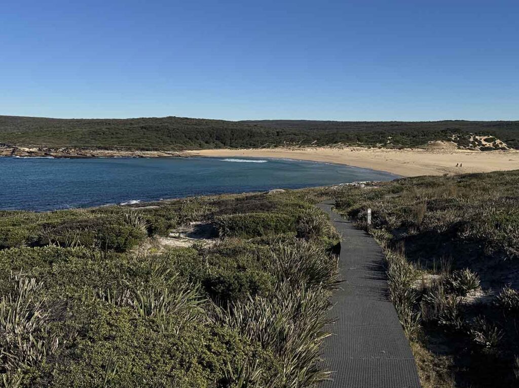
Wattamolla Reserve
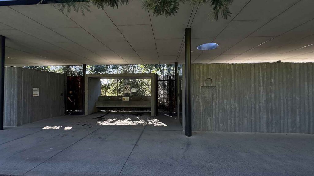
Toilets at Wattamolla Reserve
Lookout just past Wattamolla Reserve
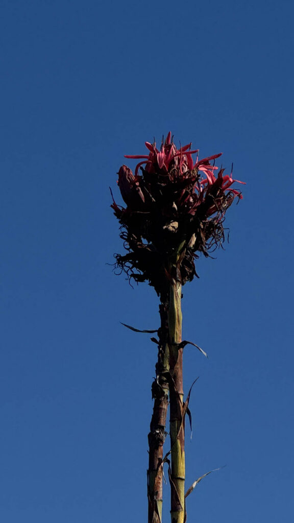
Gymea Lily in flower
Lambertia species in flower
This descent down is the hardest and I would want veto walk back up this!
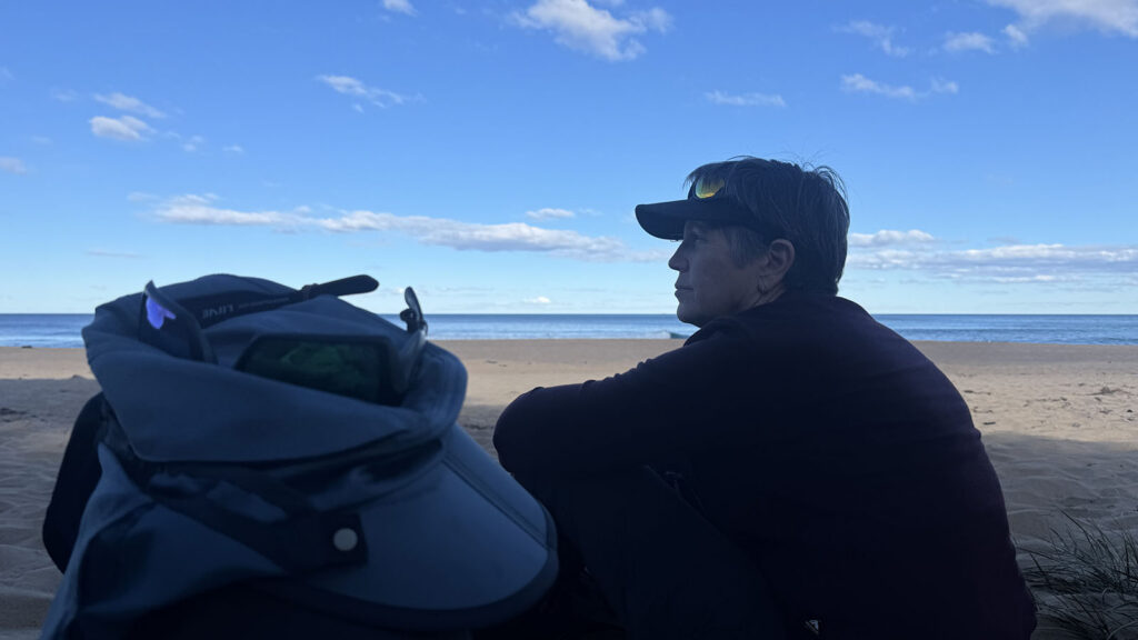
Having Lunch on Garie Beach
Heading off after lunch. At this point you can go up the steep hill to the right or go around the headland. It really depends on the the conditions
Around the headland either on the beach or on the upper pathway
Up the Hill
The last beach on trail
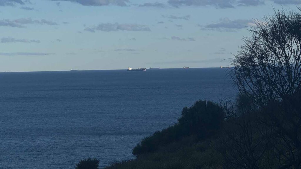
Ships waiting to enter the port at Woolongong
Trail example
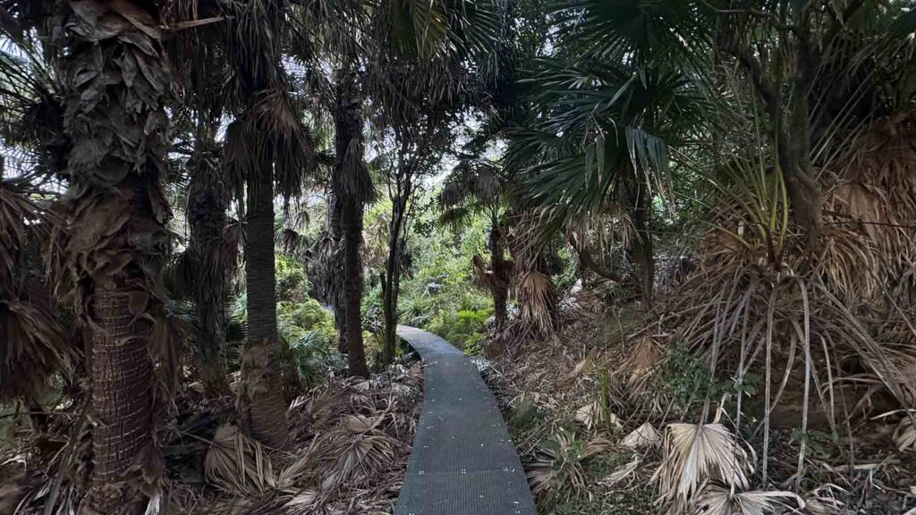
Palms
Trail example as the sun starts to set
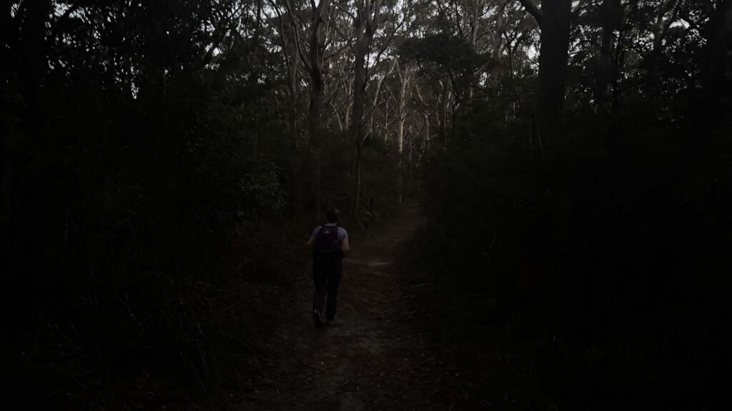
Getting dark at the end of the walk
Otford lookout southern trailhead
Why do this Walk
This walk is all about the journey and not the destination. The solitude on this walk surprised us even though there were other hikers around
Trail video
This video slide show provides a visual overview of our experience on the day of our walk
Getting there
Getting to the trailhead is relatively easy however the road into Bundeena is narrow and winding, and on the day we did this walk, there were a lot of cyclists on the road with minimal overtaking opportunities
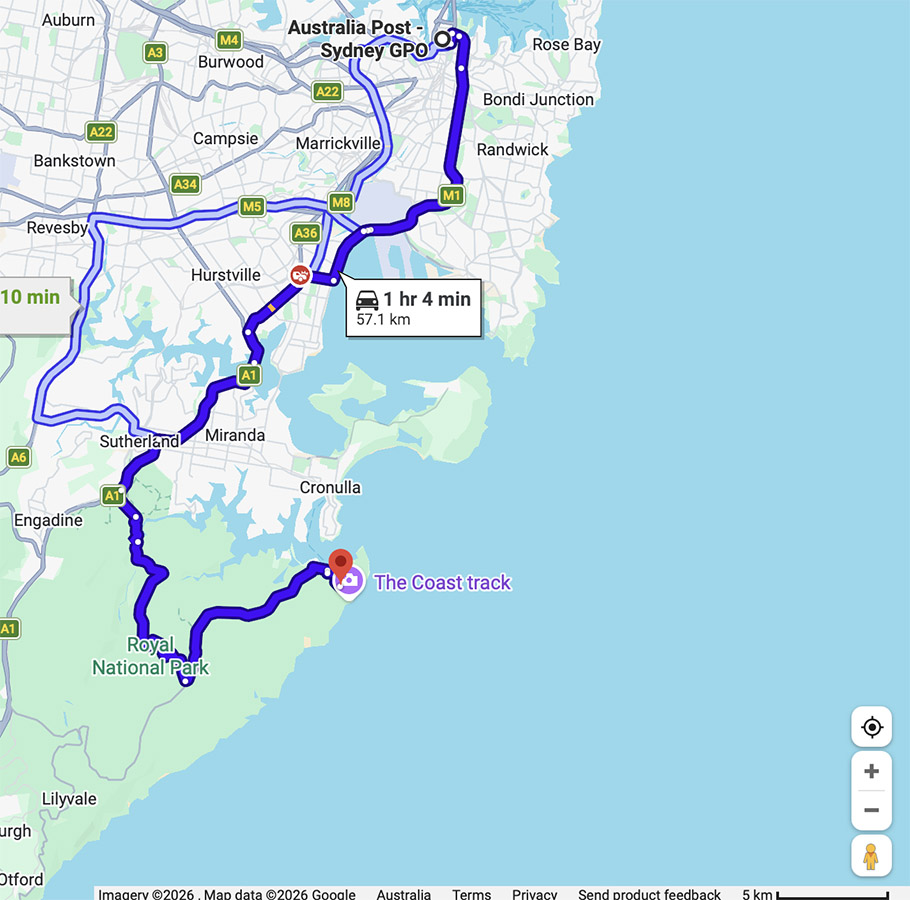
Google Map directions from the Sydney City GPO is only about 59km
Things to know
- Phone: There is good phone signal on most of this trail (Telstra)
- Water: You need to bring your own water
- Toilets: There are toilets at the Bundeena trailhead as well as a couple of toilets along the way
- Showers: At Garie beach car park
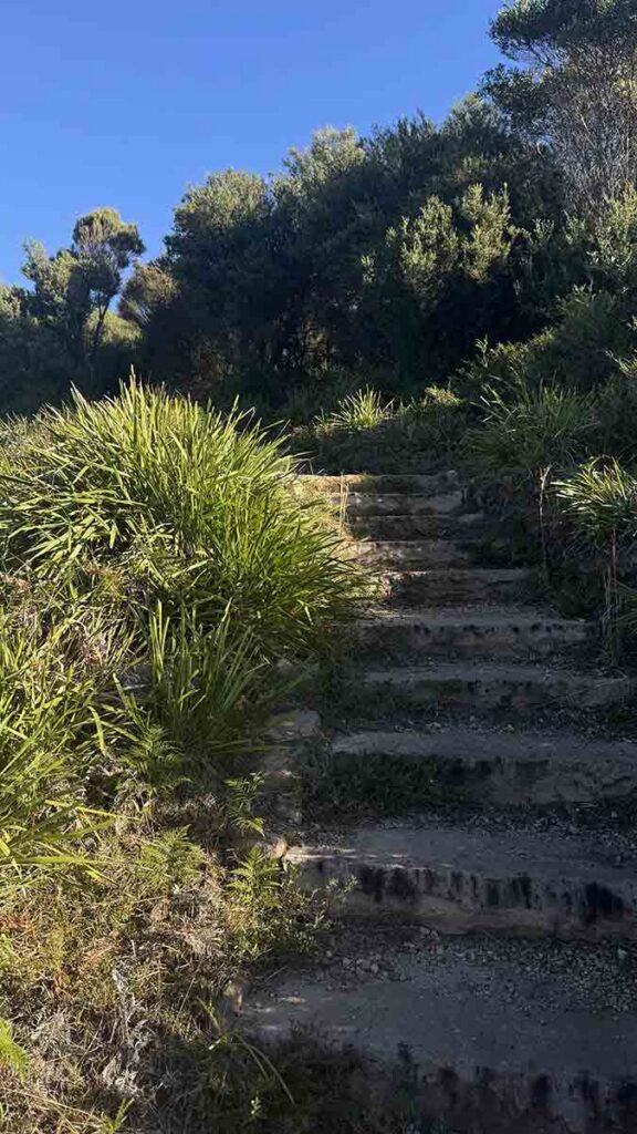
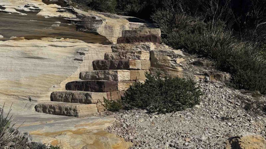
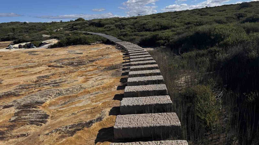
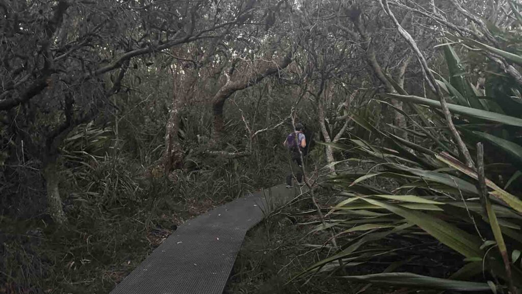
- Trail: This walk is mostly on formed track with large sections of mesh board walk and lots and lots of sandstone steps
- Dogs: Dogs NOT allowed
- Other:
- If using trekking poles ensure you use the chunky rubber caps on the pole tips otherwise you will be carrying the poles for large sections of this walk given unprotected pole tips jam in the mesh board walks
Disclaimer
This walk was undertaken by the team from Australian Hiker