Kiama Coast Walk NSW (21km)
Urban coastal walk
Nearest Town
Kiama, NSW (closest major town)
Starting Location
- Minnamurra (northern trailhead) optional start
- Gerringong (southern trailhead) optional start
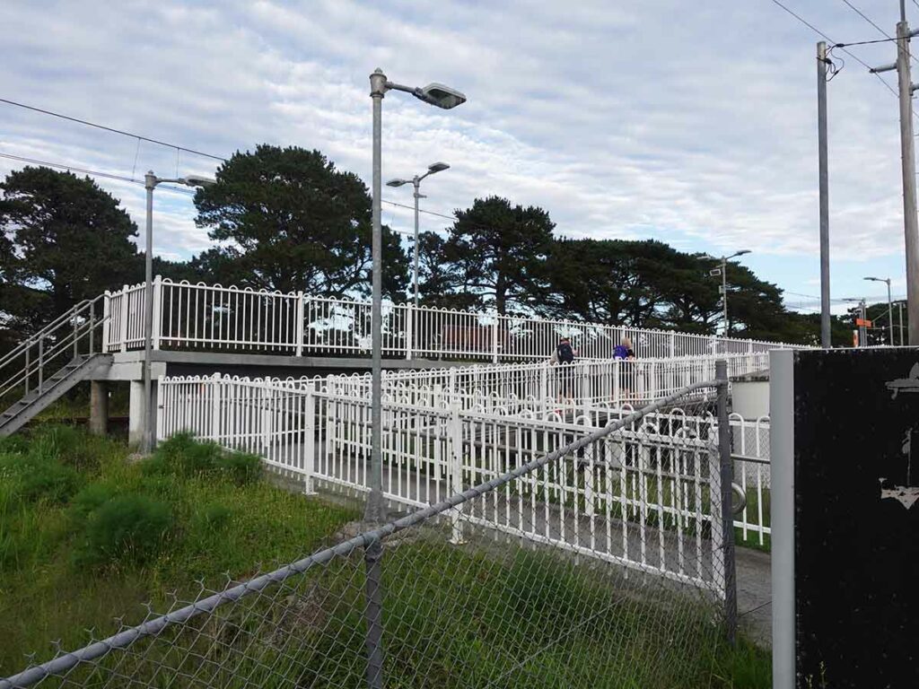
Starting Point at the Minnamurra Train Station
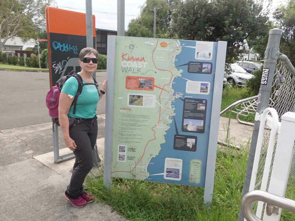
Finish Location
- Gerringong (southern trailhead) optional finish
- Minnamurra (northern trailhead) optional finish
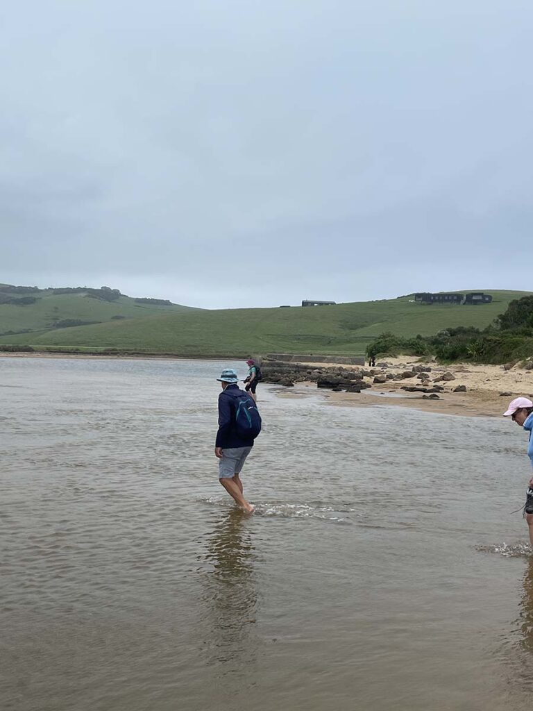
Werri Lagoon, Gerringong is where the trip finishes but you may still have a walk to the train station
Best Time of the Year to Walk
Year round but avoid the really hot days in summer
Who is this walk for?
Hikers of all experience levels will enjoy this walk. Having said that, this is a physically tough walk even though it doesn’t look it
Which direction?
This walk can be done in either direction and really what it comes down to is logistical considerations:
- If you have access to a car at each end of the trail travelling in either direction works well
- We got an Uber to the Minnamurra Train Station and walked south. We had issues getting a taxi/Uber at the other end, possibly because it was a public holiday. As such, we ended up walking another 2+ km to the Gerringong Train Station, caught a train back to Kiama (where we were staying) which worked well
Online resources
The following online resources will help you plan and book your hike
- Kiama Tourism site
- Trail details, maps and general information
Kiama Coast Walk Review
Minnamurra River to Kiama Blowhole 8.5km
I first came across this track in 2023 when I watched the SBS TV Series Great Australian Walks With Julia Zemiro where this was one of the walks showcased so I thought why not. We set aside the long weekend in January 2024 to undertake this walk. As we were travelling from Canberra (a 2.75 hour drive) we opted to head to Kiama the night before and stay at a local hotel. The plan was to walk the next day, spend a second night in Kiama and travel back home the next morning. If you are Sydney based and you get the timing right, you can travel back to Sydney at the end of the walk which saves you having to drive anywhere.
On the day we did this walk it appeared that Gill and I were the only two doing the whole walk with everyone else doing sections of the walk mainly based around Minnamurra as a starting and stopping point. Its worthwhile downloading a copy of the trail map which apart from showing the highlights of this trail, also breaks it ups into three seperate sections for those that don’t feel like doing the approximately 21km trip all in one day which took us around 9 hours. The three segments are:
- Minnamurra River to Kiama Blowhole 8.5km
- Kiama Blowhole to Loves Bay 6km and
- Loves Bay to Werri Beach, Gerringong 6km
These three sections are classed as ‘medium’ or ‘hard’ which are the gradings that predate the current Australian Walking Track Grading System. In looking at this track you could be forgiven for thinking this track is going to be a dawdle and while its not overly difficult it also isn’t easy. In our case we started off with 72% humidity and from a personal perspective I hate the humidity – I find that it sucks the life out of me! Time wise the track map also estimates that this walk will take 6.5 hours and while that’s doable for people with a good degree of fitness I would suggest allowing 8-9 hours as there are opportunities along the way to stop for a coffee break or lunch as well as options to have a rest on the beach including taking a swim if you feel so inclined.
This walk can best be described as an urban coastal walk because from Minnamurra through to Loves Bay you are walking through residential and town areas. It’s not until you do the final section from Loves Bay down to Werri Inlet that you are travelling on old farmland with minimal structures. In no way is this a ‘bush walk’ but we enjoyed it all the same having the opportunity to see some amazing architecture along the way and parts of the coast I realised I hadn’t visited for over 30 years. While time has move on, Kiama is one of the small towns that booms with tourists and is a tourist trap.
We got an Uber from our hotel to the Minnamurra Train Station and walked our way to the boat ramp access point on the southern side of the Minnamurra River. Navigation wise this was probably the most difficult part of the day. You have the option of walking along the short rocky beach before crossing up onto the large grassy headland or you can walk along the track around the beach, its really up to you. On the day we did this walk there were so many cars it was hard to tell where the start point was. From here we followed a series of trail markers that consisted of a white post with a blue top or a destination sign and in our case, we followed the signs to the Blowhole in central Kiama. There were also a number of brown signs with white text that point the way as you go.
We soon realised that this trail can be a bit of a choose your own adventure – you can take short detours off-trail as you go stopping in at every little inlet, beach and rock platform, or stopping for a swim if you feel like it.
The hardest part of this walk was on Bombo Beach as the sand was soft and the tide was coming in – up until that point we were travelling at a good pace. At the end of Bombo Beach there is a potential water crossing, Spring Creek, but on the day the creek was closed to the ocean and we walked across on sand. This isn’t really an inlet as such however if you are doing this walk after periods of heavy rain and the winds are driving the ocean into the beach, you may get wet at this stage which may require you to walk up into the suburbs.
One thing we hadn’t realised previously is how close the train tracks come to the ocean and if you to get train back to Kiama you get some great views.
From Bombo Beach we made our up into the Kiama township and on to the Kiama Lighthouse and Blowhole which is the finish of the first section of this trail. Kiama Blowhole was a bit disappointing on the day given it relies on driving sea conditions to create the impressive blowhole effect that everyone wants to see.

Trailhead at Minnamurra Train Station
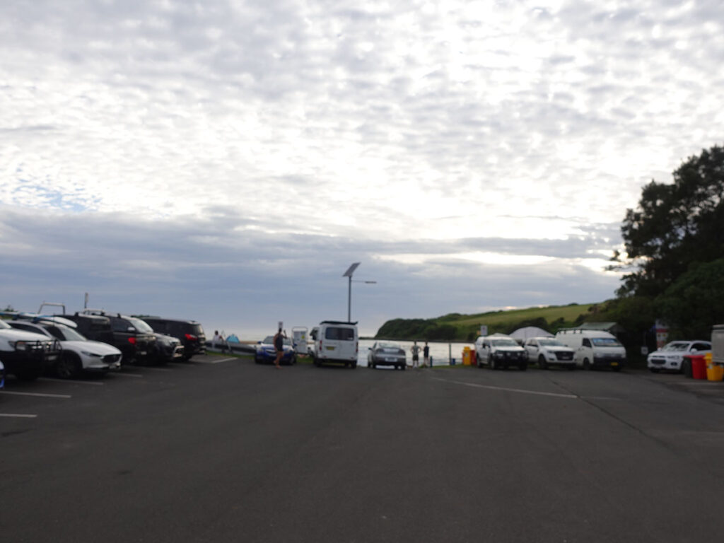
Formal walk start in the right hand of the image hidden just behind the cars
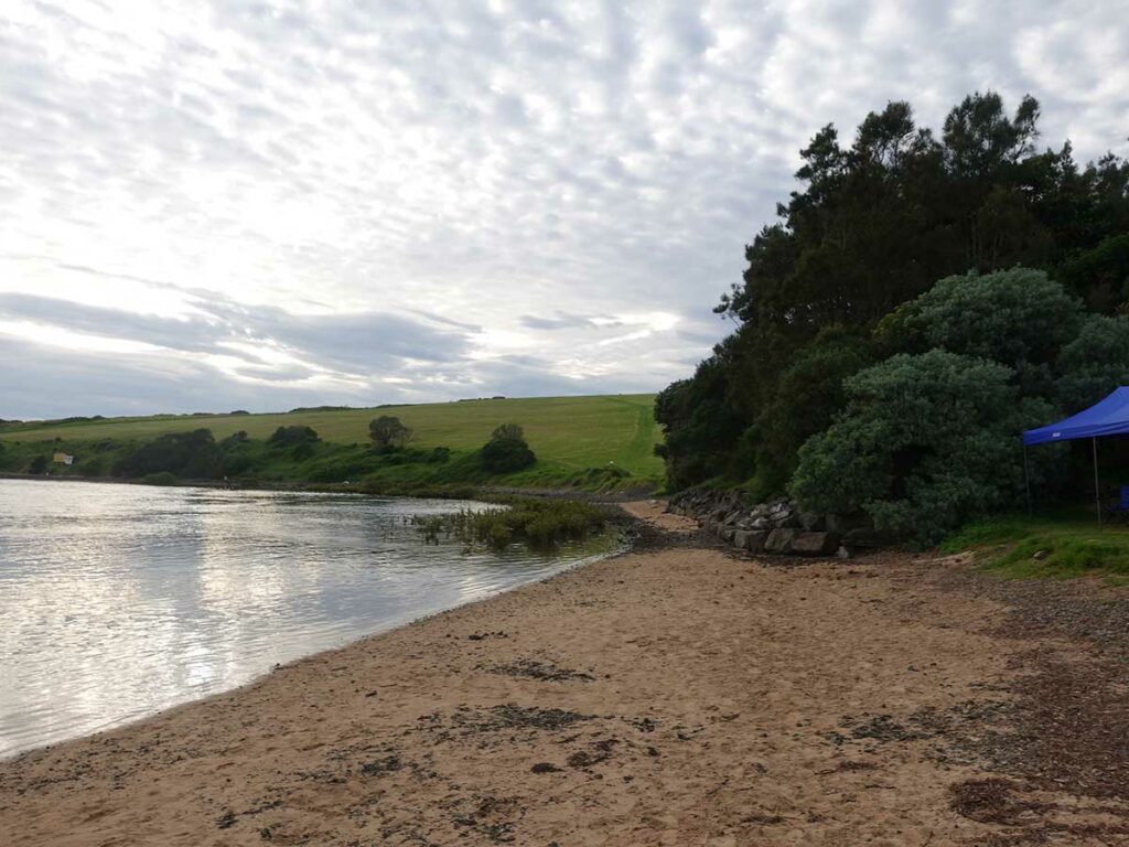
Walk along the beach or slightly higher up on trail
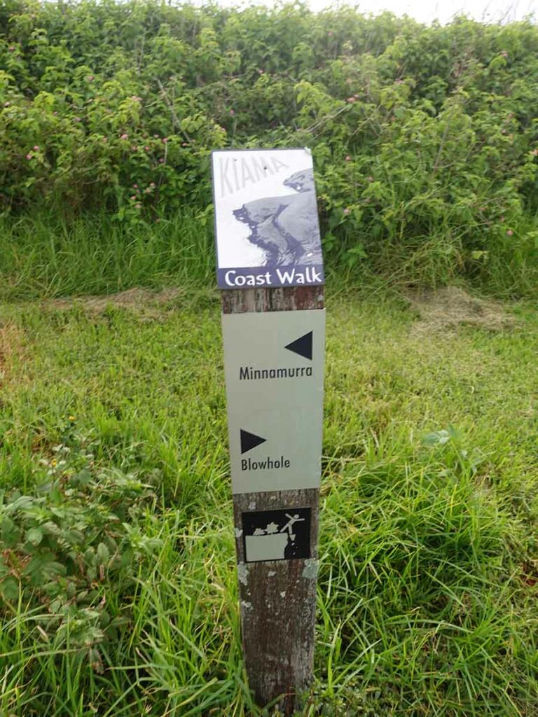
One of the directional signage types on the Kiama Coast Walk
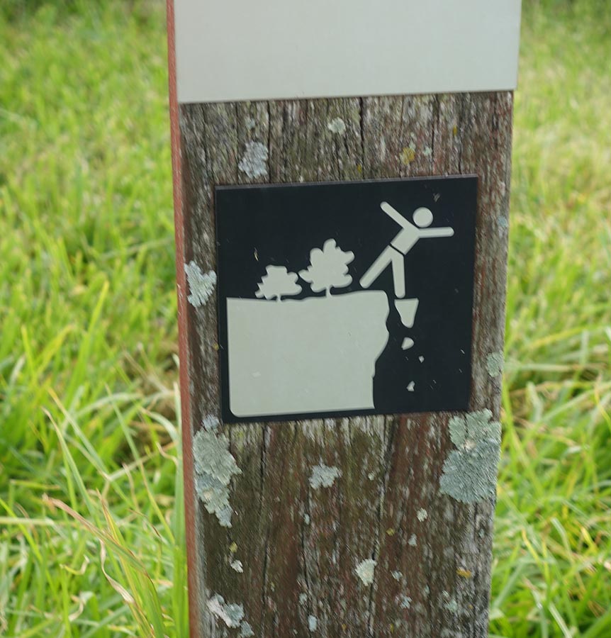
Keep an eye out on your children so they don’t get close to the cliff edges
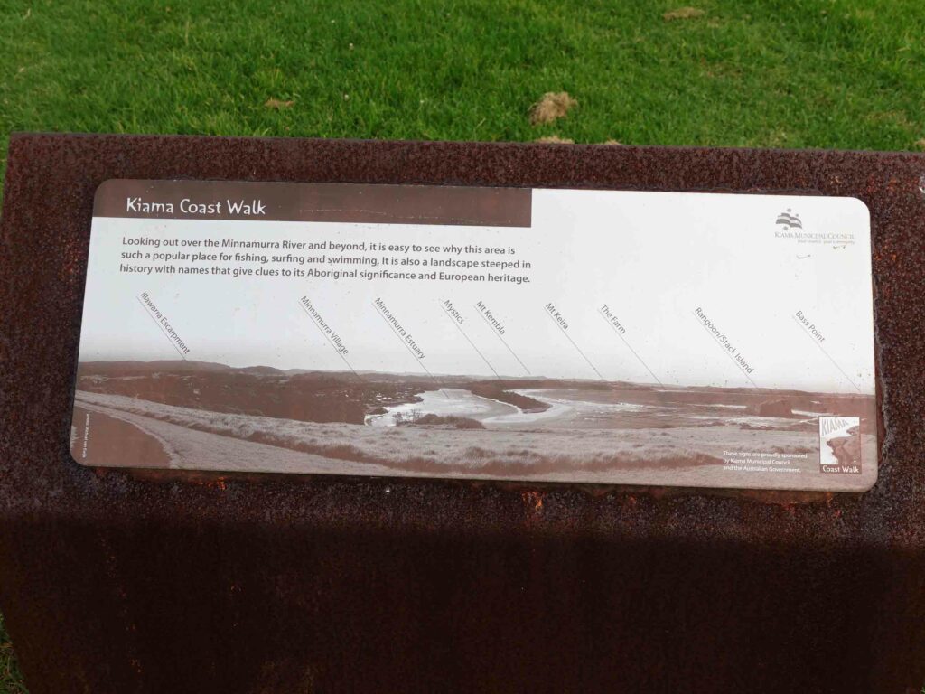
Interpretation signage along the trail
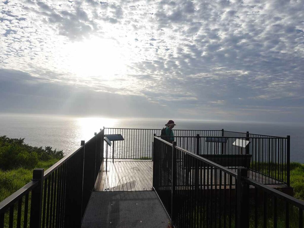
Formal lookout. This one talks about whales which you can see at some times of the year
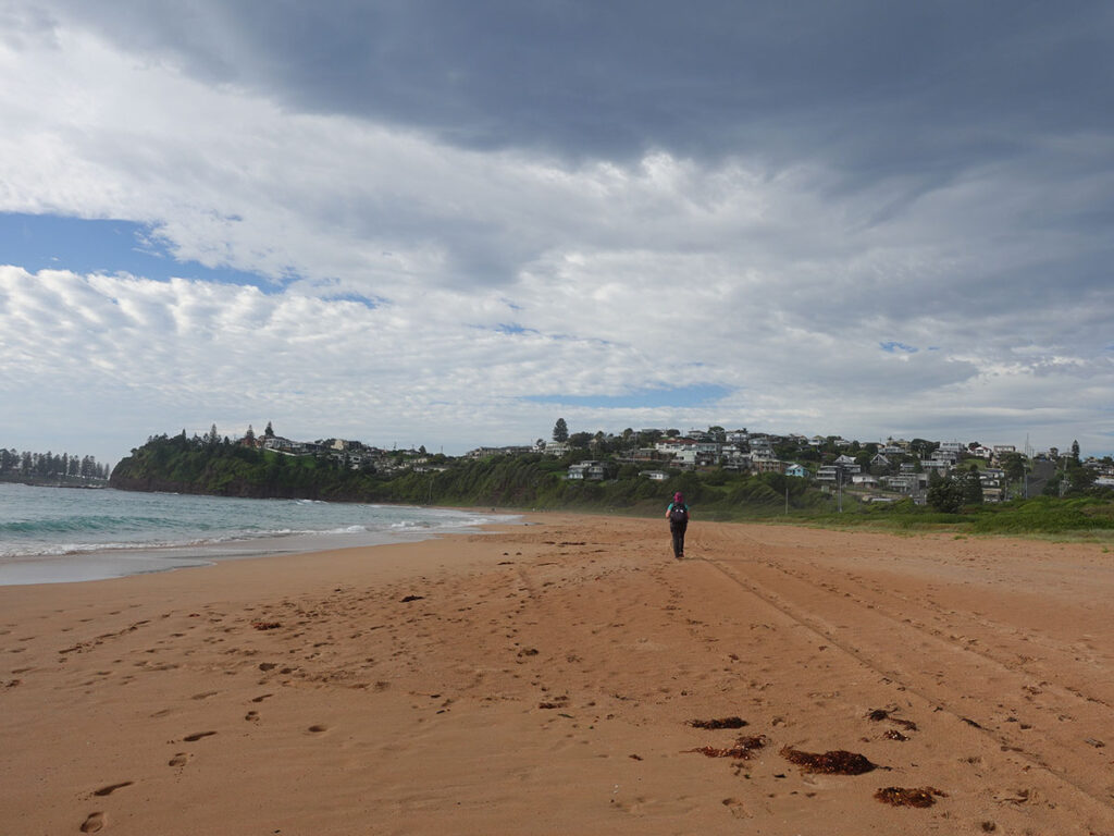
Kiama Coast Walk – Bombo Beach
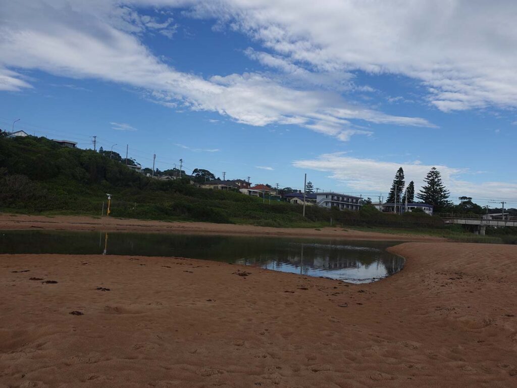
Spring Creek. When we did this walk it was closed to the ocean so we didn’t get wet feet
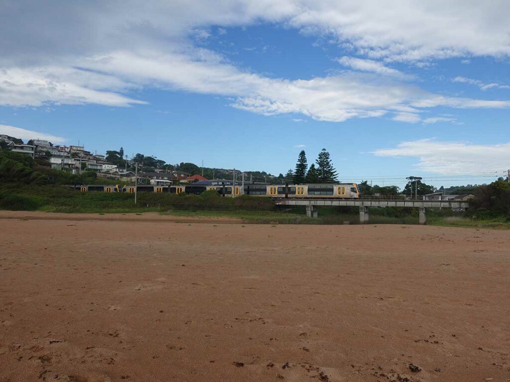
Train crossing Spring Creek
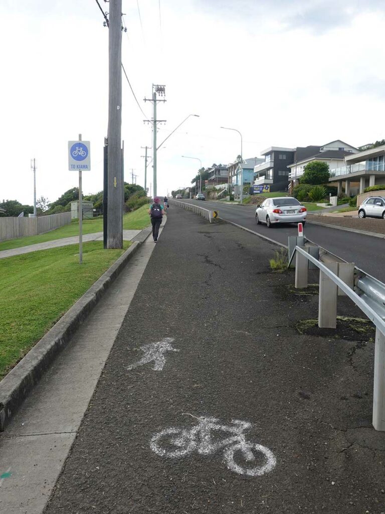
Heading into Kiama
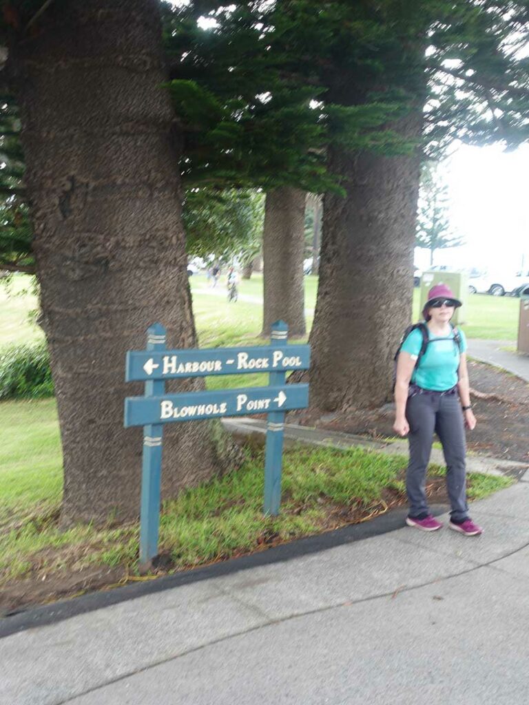
Heading to the Blowhole
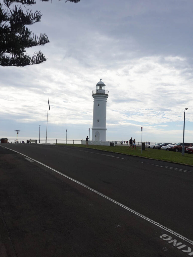
Kiama Lighthouse
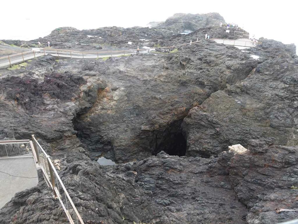
Very quiet Blowhole. To put on its best display windy weather and high seas are needed
Kiama Blowhole to Loves Bay 6km
After visiting the Lighthouse and Blowhole we head off to our next destination which was Loves Bay. The Kiama Show as on the day we did this walk and as such the path was blocked off and we had to head back into town and detour around the show grounds. All up this probably only added a 400-500 metre detour but annoying all the same.
We cut back onto the trail just after the show ground and then made our way across a series of four small beaches that were packed with people taking advantage of the warm weather and the day off. The last of the beaches was at Loves Bay and was more of a rocky beach and also not patrolled where the other beaches were. Included in the section was the ‘Little Blowhole’ and as the name suggest was the small cousin to the main one in Kiama but on this day it was outperformed its bigger relative by a long way as it was receiving greater wave action due to the direction it was facing the ocean.
We also came across a designated picnic that had a couple of tables, seats and a BBQ so if you’re are planning on bringing lunch this is a good stopping point. On leaving the picnic area we made our way down towards Loves Bay and came across a snake of some sort and as usual because I walk behind Gill, I didn’t get to see it as it shot off into the undergrowth. All she could say was that it was large, black and flatfish which isn’t much to go on.
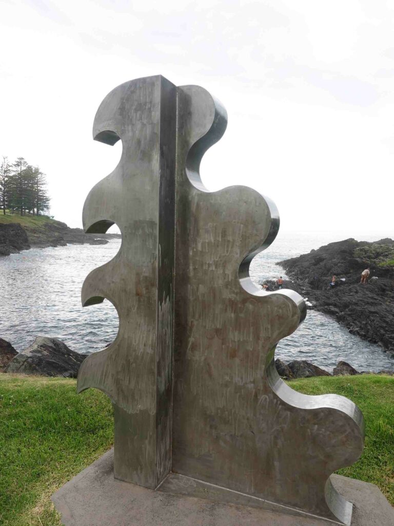
On-trail artwork
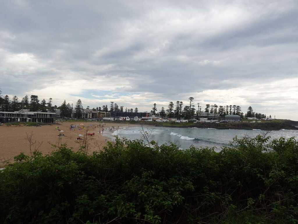
One of the patrolled beaches along the way
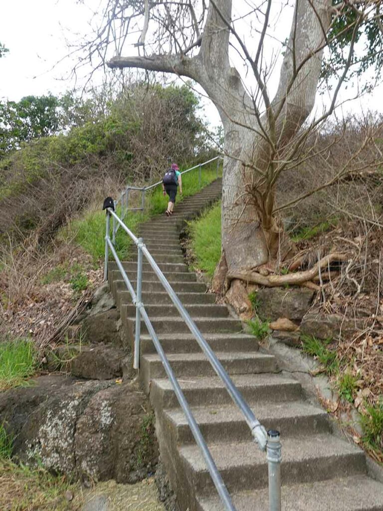
Set of stairs on the Kiama Coast Track
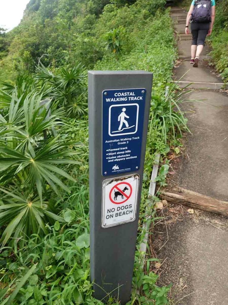
Trail signage on the southern half of the trail
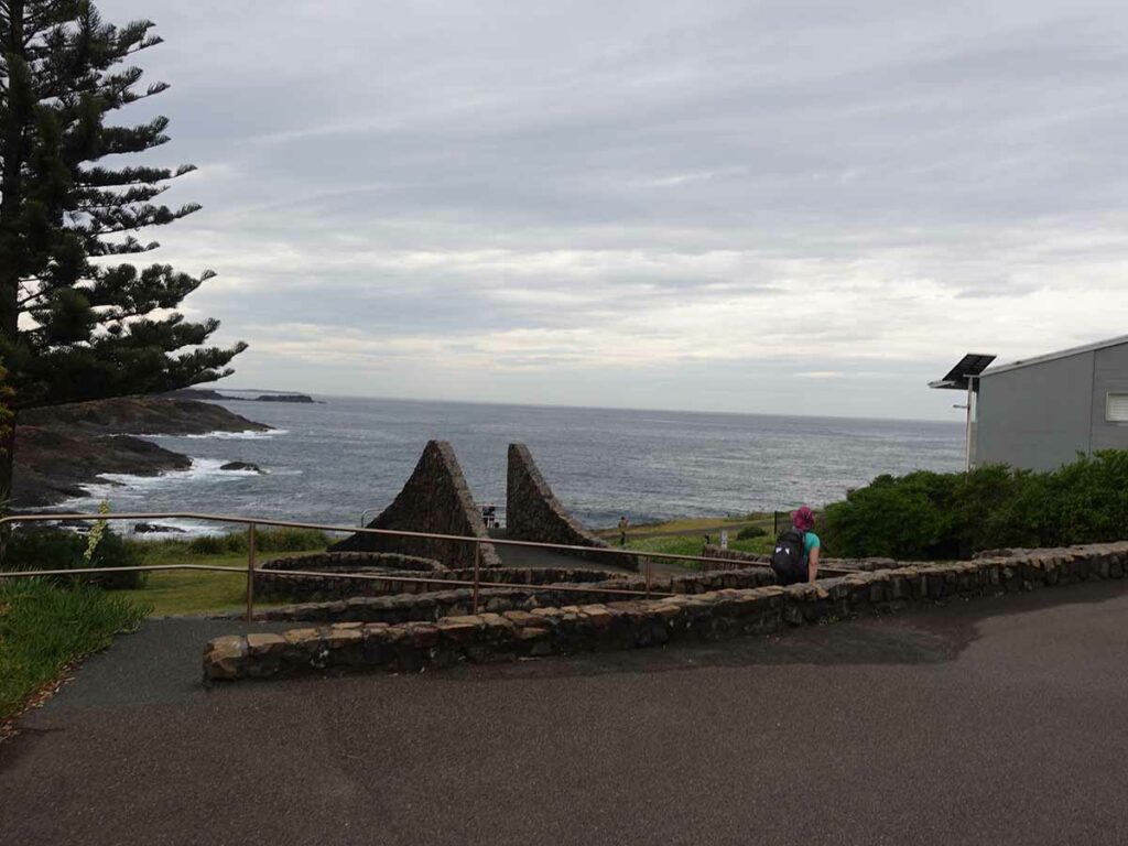
On this day the Little Blowhole was the best performing
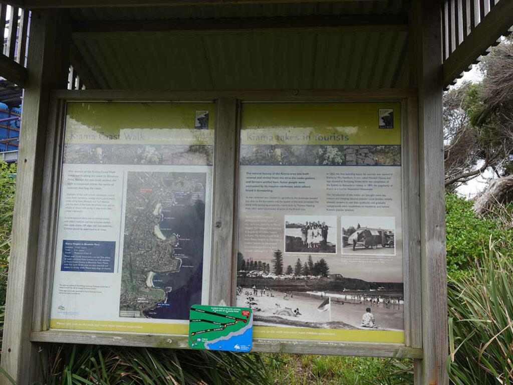
Major track sigange at Loves Bay
Loves Bay to Werri Inlet 6km
This final section of this walk was very different for a number of reasons. First up after leaving Loves Bay we lost all the suburban areas. That’s not to say there weren’t houses on this section but they were few and far between and had a large number of zeroes on their price tags which if you do this walk, you will understand. The second difference with this section was that as old farming land there was very little coastal vegetation that you expect further south that are mainly national park. The main vegetation on this section is rolling pasture land and as such we were blasted by the strong winds (we had a strong wind warning on the day) which resulted in us taking off our hats for fear of loosing them.
Our final destination was Werri Inlet and I would strongly recommend you stop by the inlet before you do this walk to make sure it is crossable. There was signage up at Werri Inlet and at Loves Bay saying that the track was closed at the inlet but the inlet was at worst about 40cm deep when we crossed and even at high tide, it wouldn’t have been an issue. Do have a tide app on your phone and pay attention to the the prevailing weather because there are signs that this inlet can become about 1-1.2metres deep at its highest – that would mean you may have to turn around and walk back to Loves Bay. We had dropped in the evening we arrived and were prepared for an east crossing. If you watch the trail video below you’ll see me crossing in a strange manner as I zig zagged my way along the very shallow sandy ridges only walking in water about 20cm deep – step off these high points and it would have been around 40cm in depth and that was at lowish tide level.
Now depending on your transport options if you are travelling as a group and have a car at the Warri Inlet you will have an easy journey back. In our case we couldn’t source a taxi/Uber so ended up with approximately another 2km walk to the trail station. On non public holidays there are regular trains scheduled but in our case we arrived 20 minutes prior and would have had a 2 hour wait until the next one.
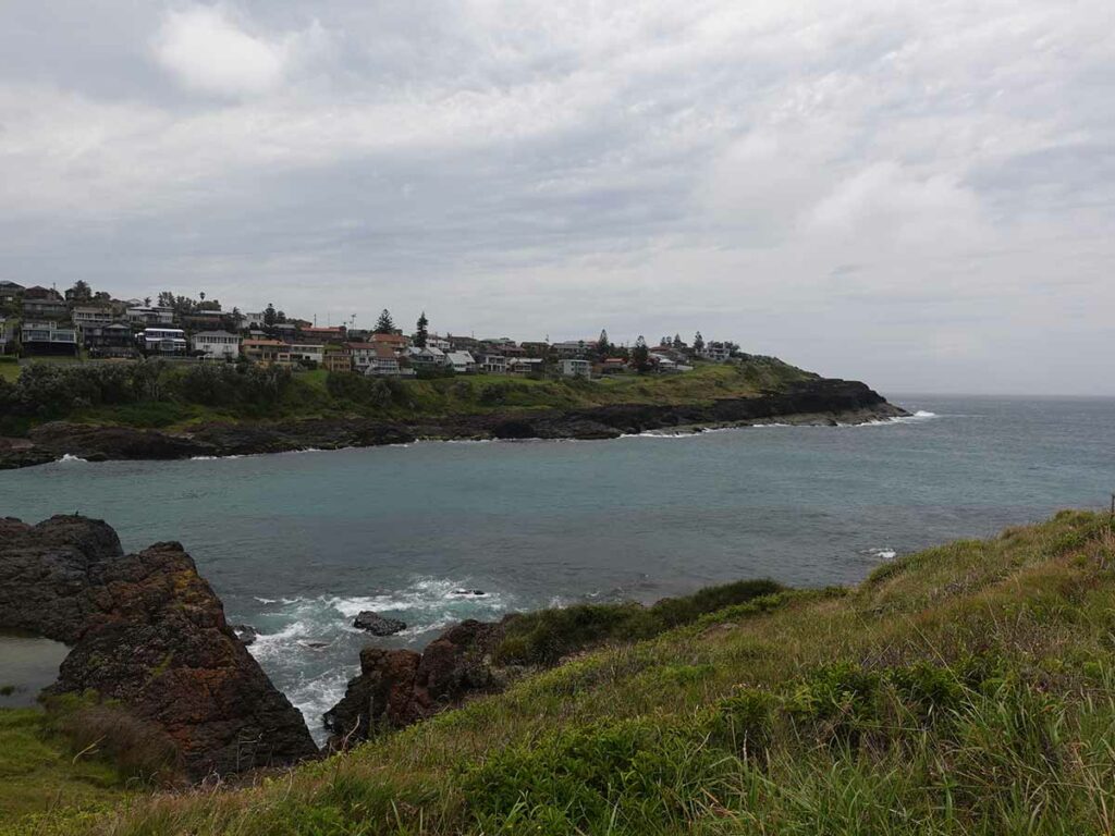
Saying goodbye to the houses leaving Loves Bay
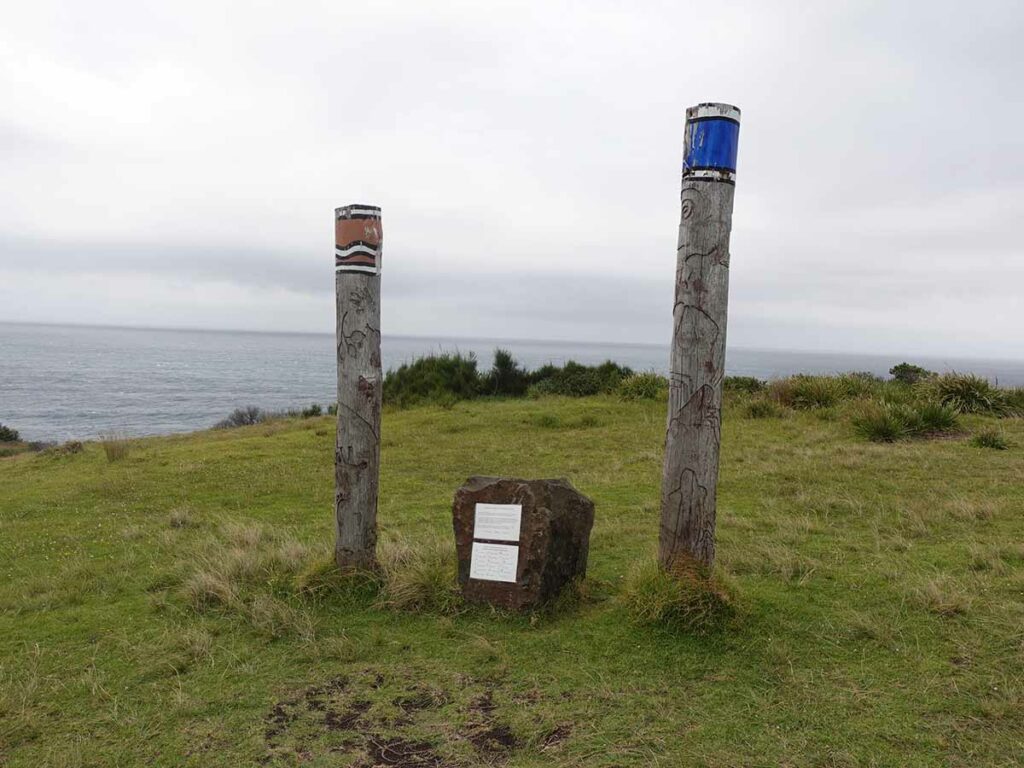
Aboriginal Interpretation just after leaving Loves Bay
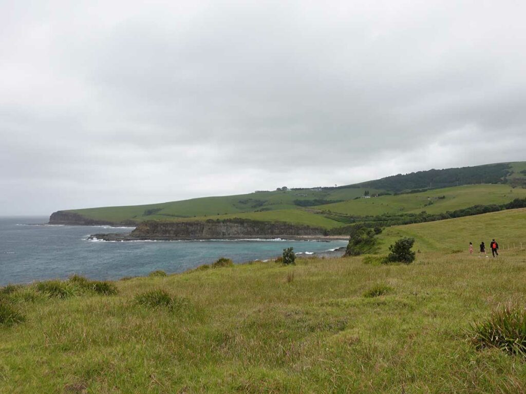
Typical landscape on section 3 of the Kiama Coast Walk
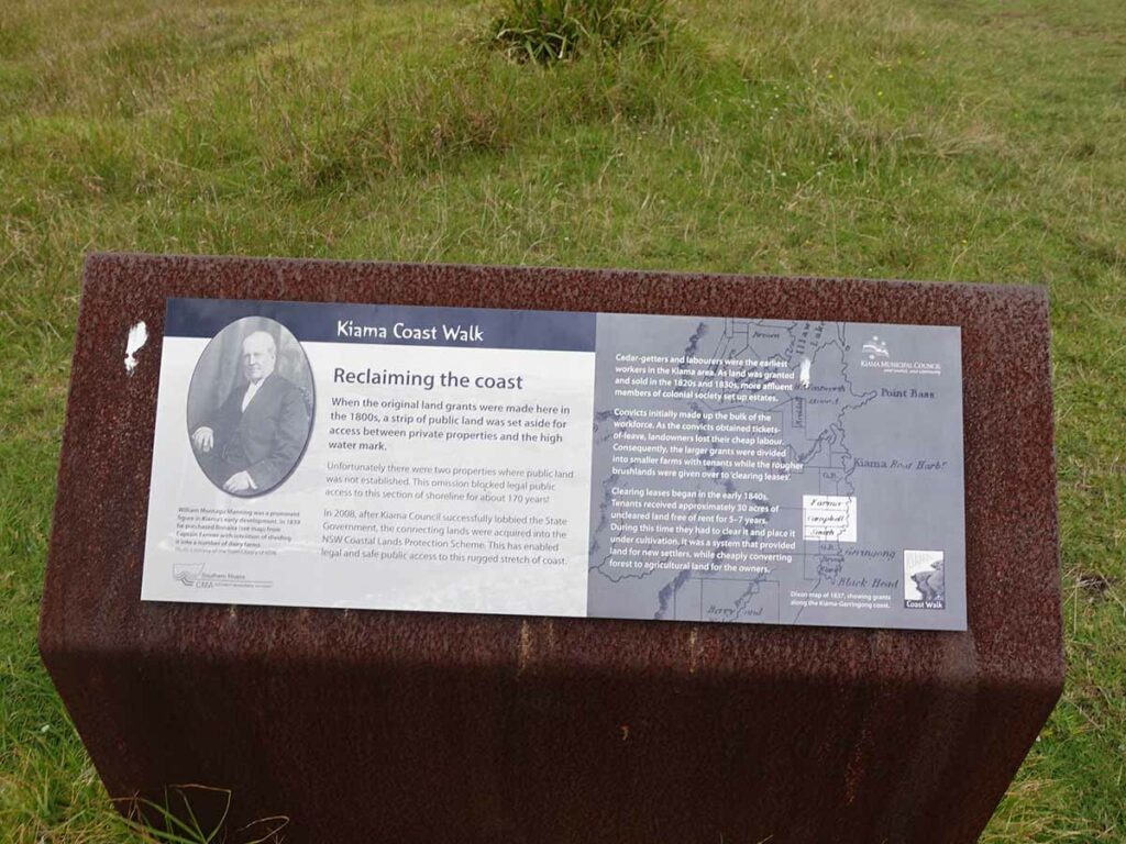
Interpretation signage-historic on section 3. this signage details public/private access that impacted this trail and limited coastal access for over 100 years
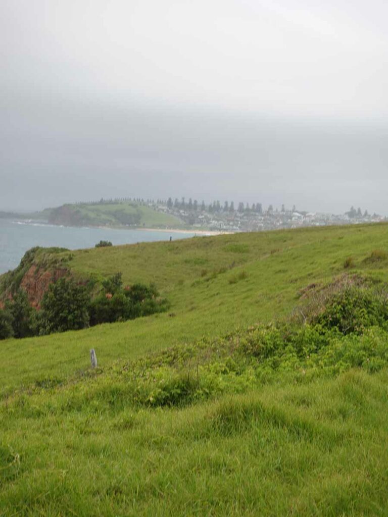
Gerringong coming into view
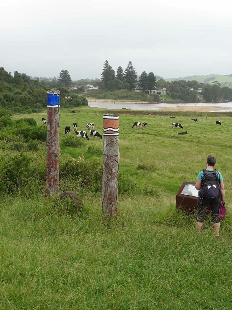
Closing Aboriginal interpretation on the Kiama Coast Trail
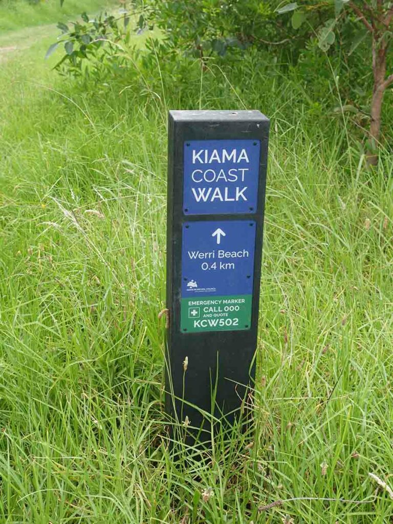
Almost to Werri Inlet. I found these signs annoying on this section of trail because there was one every 500 metres

Traffic jam crossing over Werri Inlet.I’ve already crossed and Gill is coming over from the other side while other are crossing over
So what did we think?
I didn’t really have any expectations leading into this walk and as such came away with the view that this walk is worth doing at least once but for us we aren’t going to make a habit of it. On the day we did this walk we had lots of people around mainly doing sections of the trail and the locals certainly take advantage of this designated trail as part of their exercise ritual.
Wildlife was limited on this trail and I think that the benefit is the substantial interpretation signage along the way that details the history of both Indigenous and white Australia along with providing details on the local geology and the coastal formation.
My final comment would be that this is a harder walk than it looks so even if you are super fit, start early in the day to avoid the heat and to allow plenty of time so you don’t have to rush.
Trail video
This short video contains photos and videos to show you the walk from start to finish
Getting there
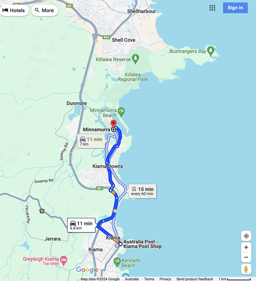
Kiama is reasonably accessible from Sydney to the north by both rail and road, and Canberra in the south by road. Google Map showing the location of the Minnamurra northern trailhead from Kiama
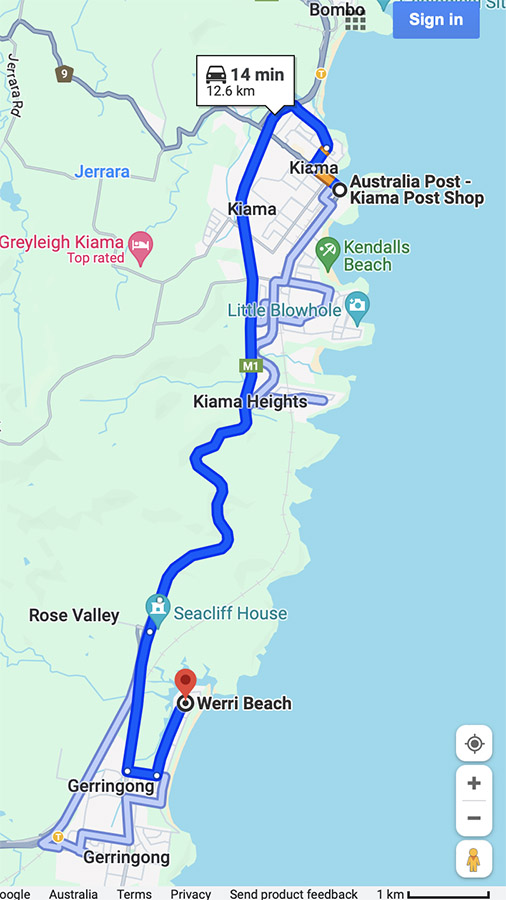
Gerringong southern trailhead from Kiama
Things to know
- Phone: The phone signal on this trail (Telstra), is good all the way
- Water: Bring your own water otherwise bring a filter and draw water from the accomodation sites
- Toilets: There are toilets at various locations along this trail
- Trail: This walk is on urban foot path, beach, and famed trail with the occasional small section of steel mesh, and steps
- Dogs: Dogs allowed on leash
- Camping: Camping allowed at designated campsites
- Other:
- Avoid weekend where there are events on at the show grounds as you will need to take a short detour
- Ticks! Wear long sleeves and long pants particularly during the warmer months. Stay out of the grass and long vegetation
- The ocean
- Watch the beach on days when there are big storms
- The Werri Inlet is a potential block point when there has been heavy rains and big seas pushing inland. We recommend that you check the inlet prior to starting the walk otherwise you will need to backtrack along the trail
Trail Map
- Google maps
- Download a copy for printing here
Disclaimer
This walk was undertaken by the team from Australian Hiker