Gibraltar Peak ACT (8.2 km)
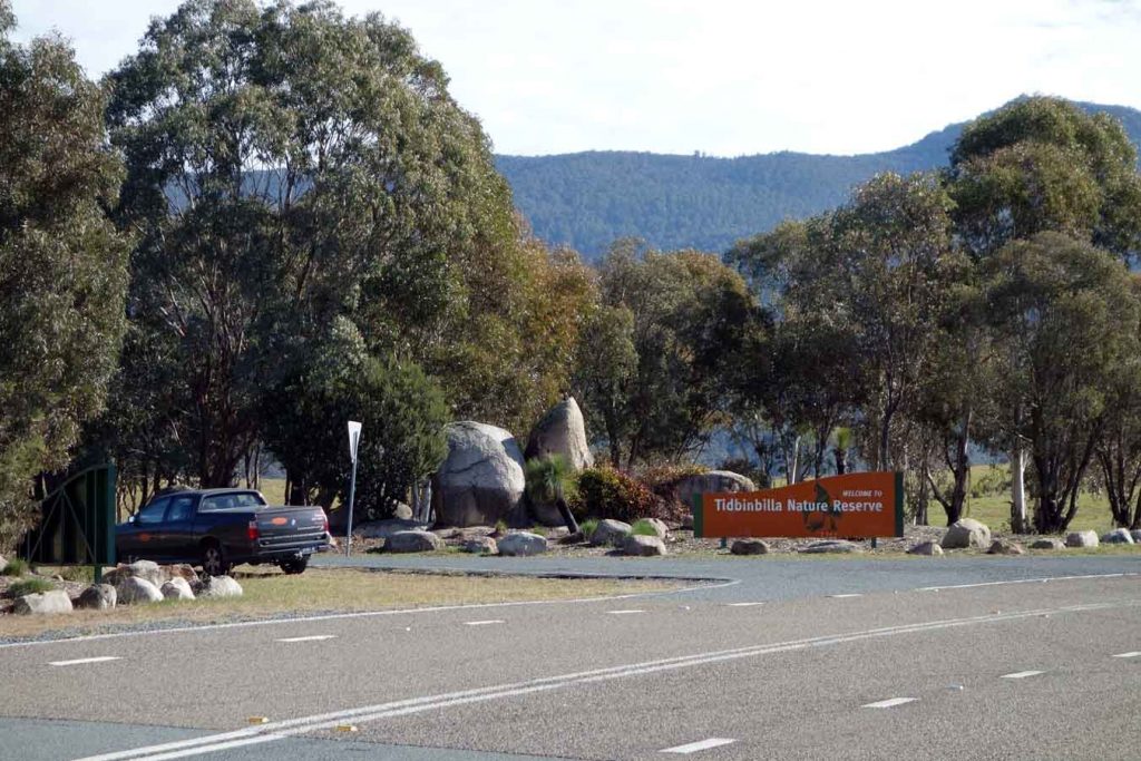
Tidbinbilla Nature Reserve
Nearest Town
Canberra
Starting Location
Dalsetta car park, Tidbinbilla Nature Reserve
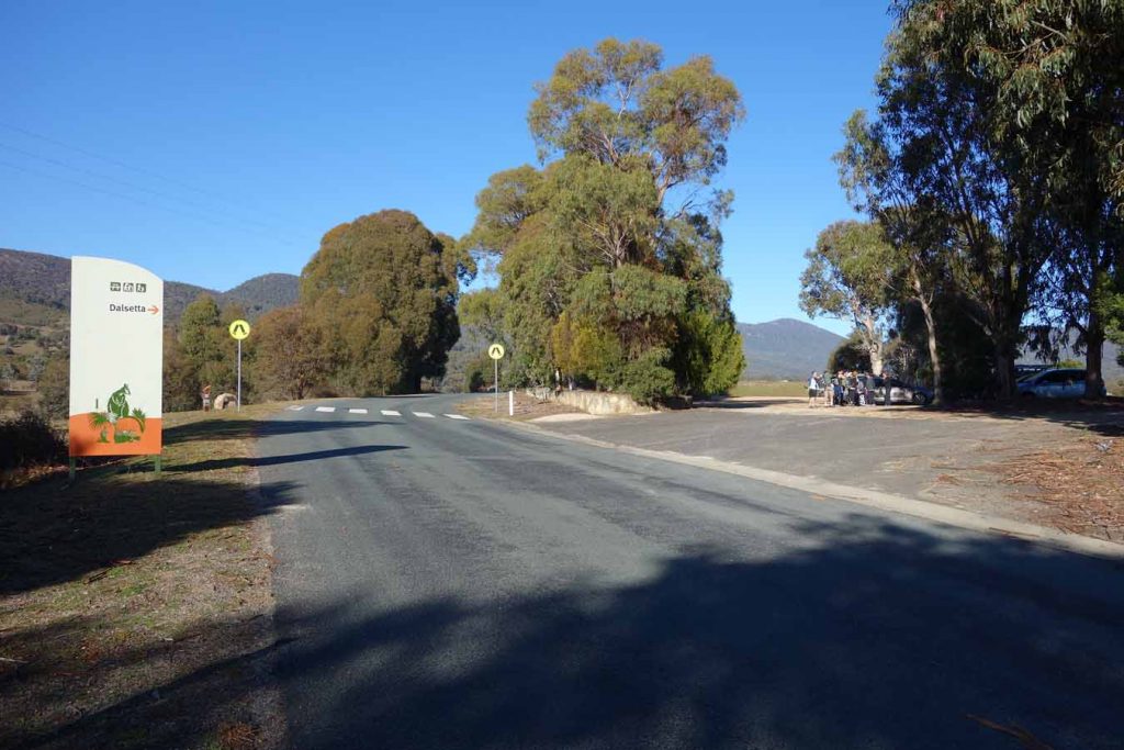
Entry to the Dalsetta car park is well signposted. There are good facilities at the car park as well as a pedestrian crossing to get across the road to the trail head
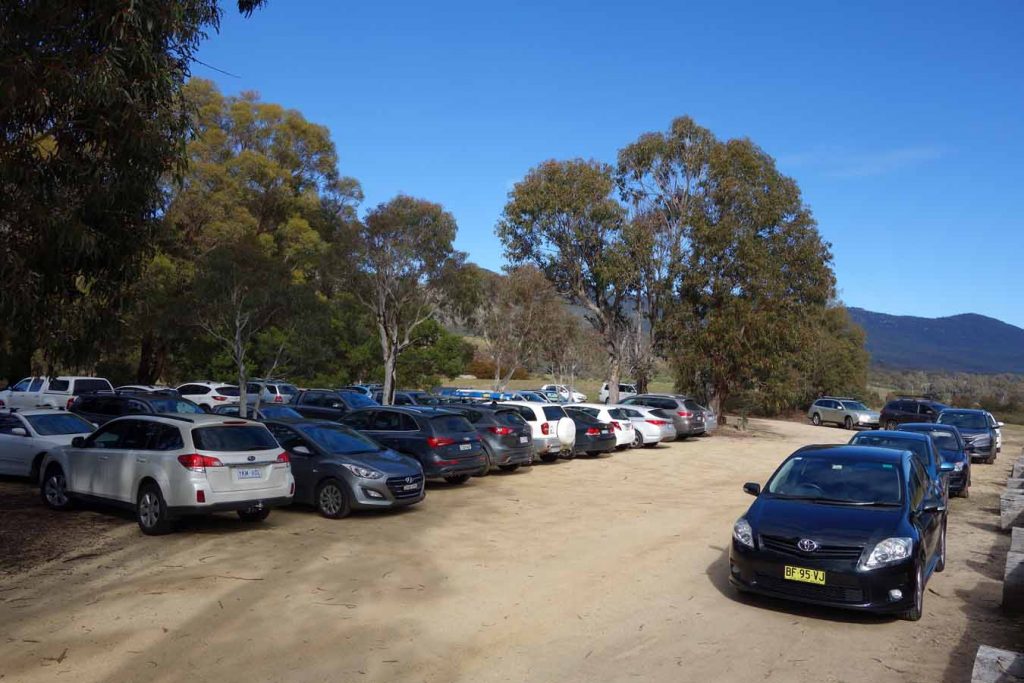
There were 40 cars in the carpark when we returned from the walk. This is a very popular walk so is worthwhile getting an early start to avoid the crowds
Finish Location
Dalsetta car park, Tidbinbilla Nature Reserve
Best Time to Travel
Year round. If you go in mid-winter try to avoid an early start otherwise your views from the summit may be impacted by low cloud and fog. I’d also suggest an early start in summer to beat the heat and the crowds
Gibraltar Peak Trail Review
Gibraltar Peak, located in the Tidbinbilla Nature Reserve, is one of Canberra’s best known walks and certainly one of Canberra’s most popular. On the day we did this walk in early winter, we counted 40 cars in the carpark and at the end of the walk as we left the number had passed over 50. We started our walk mid morning, just after 10:00am which was good as we had the summit to ourselves at least for the first 15 minutes.
The walks starts across the road from the car park at Dalsetta, which has excellent facilities including some picnic tables, toilets and ample room for at least 40 cars. The trail head also has some excellent interpretive signage which provides details on the local walks as well as the broader area. This interpretive signage is also present along the Gibraltar Peak trail right up to the summit.
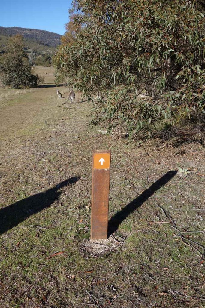
Cross the pedestrian crossing and around 40 metres in from the road is the trail register. Once you have signed in and started your walk you are usually likely to walk past a large mob of kangaroos that tend to sun themselves in the morning and are quite used to the number of hikers who use this site. Follow the arrows up the hill and about 500 metres from the trail start you will come to an open clearing. This is where the trail splits and there is a small sign on a post here that tells you which way to go but if are not paying attention you may miss it and go the wrong direction to the Xanthorrhoea Loop trail (see image below). If you do go the wrong way you can either backtrack or keep on going to Gibraltar Peak from here but this means you will be walking on a hard compacted fire trail which is not my favourite type of walking as it’s hard on the legs.
The trail itself is well formed with most of it being natural trail that has being covered with crushed granite. There is the occasional metal mesh section including a small bridge where required. Continue on up the trail and about at the halfway mark you will come to a turnoff that will direct you towards the right up to the summit. At this point there is a large picnic table which is ideal for slower moving groups to take a break. From this turn off the ascent becomes steeper and approximately 800 metres below the summit you will come to a constructed lookout that has spectacular views. If you don’t have the fitness to do the full walk then this is a good turn around point.
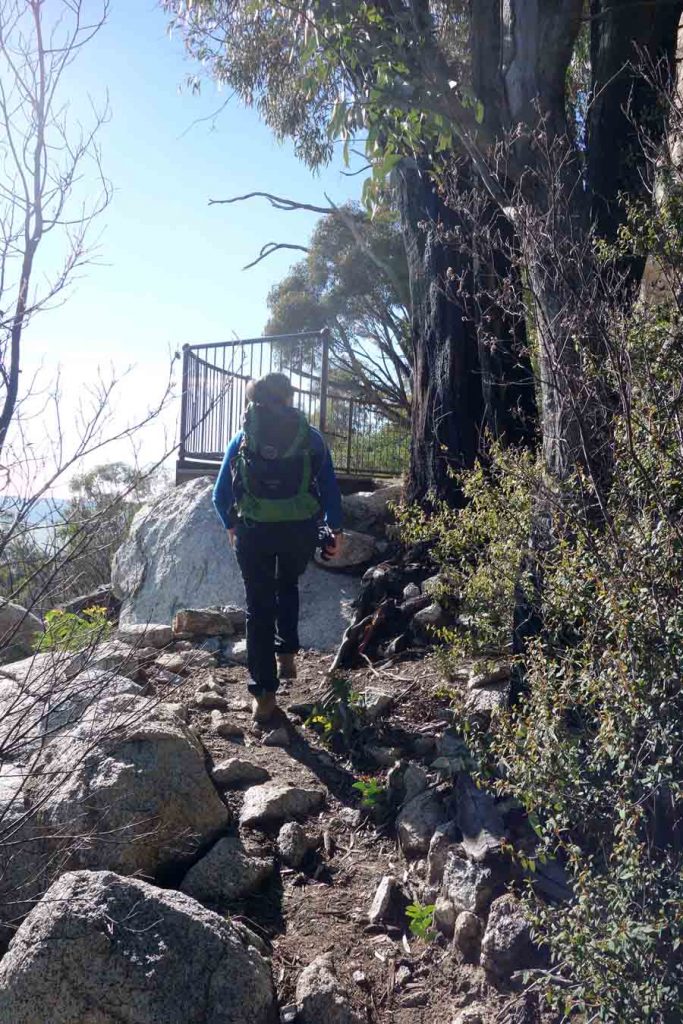
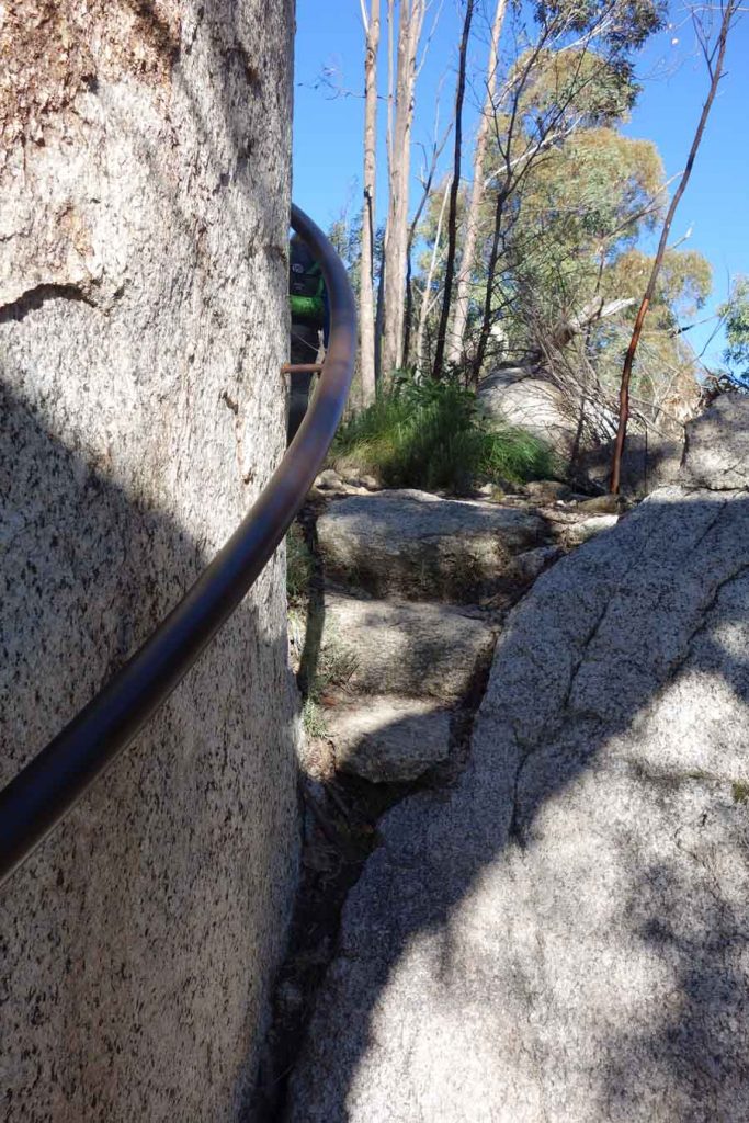
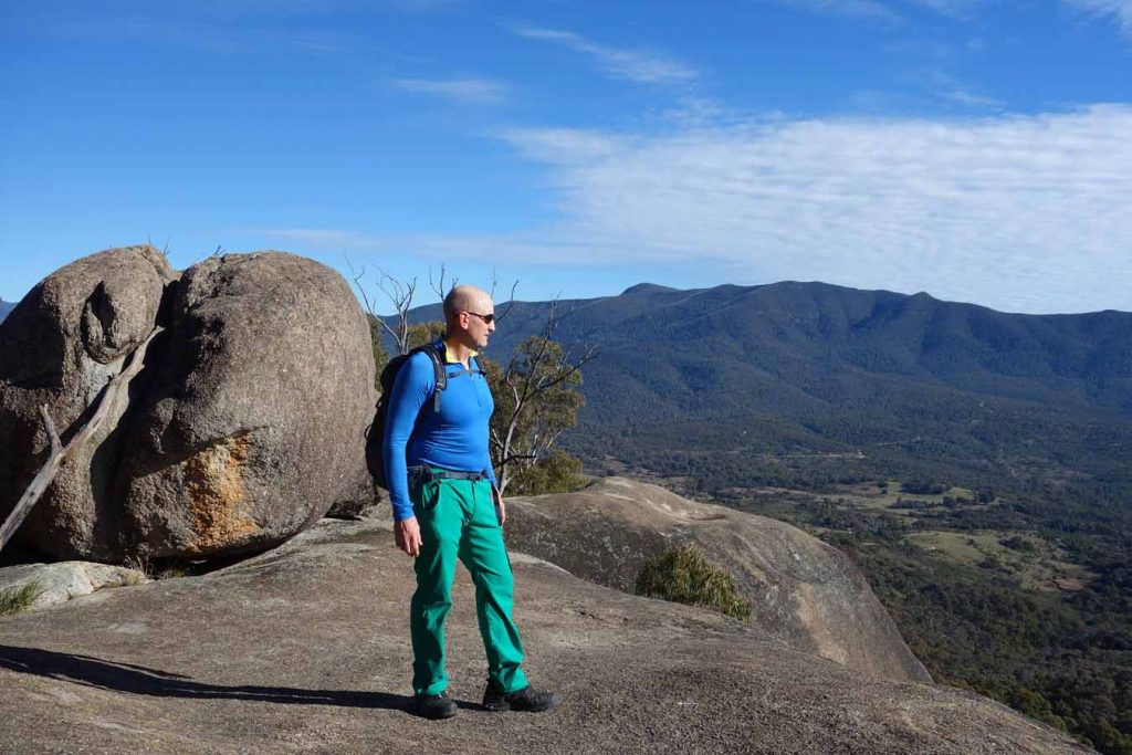
From this lower observation platform you continue up to the summit and will go past a handrail bolted into the rock. This is helpful on the way up but a necessity on the way down as you need to walk over granite rock that doesn’t provide a lot of traction for the average hiking footwear. You will cut onto the fire trail towards the peak and at this stage the trail meanders though the large granite tors that form the hilltop. The trail flattens out as you reach the peak and you will walk out onto a large rock shelf that provides excellent views of the surrounding conyrtyside back towards Canberra.
To get the best views you will need to go to the slightly higher rock ridge and you can either scramble on the granite which doesn’t provided a lot of traction or go back to the main summit sign and turn onto the small trail that will provide an easy walk to the higher lookout area.
Care should be taken by both adults and children visiting this area as you get fairly close to the edge and its a long way down if you slip. Just off the rock ledge is a large granite outcrop that rock climbers often use and if you look closely you will see a bolt system used for top roping. The views down into the valley and across to Canberra are dramatic and while there are plenty of other high vantage points on walks around the Canberra region this one is by far my favourite. It’s worth bringing a snack or lunch to spend time just taking in the views. From the summit make your way back down to the car park with the whole walk taking fit bushwalkers just on 2.5 hours. I would allow more time just in case or just to soak up the views.
I love the areas that surround Canberra and for many people the Booromba Rocks walk in Namagadi National Park is easier particularly if there are fitness concerns. However if you are fit and only have a half a day to do a walk then this would be my choice hands down.
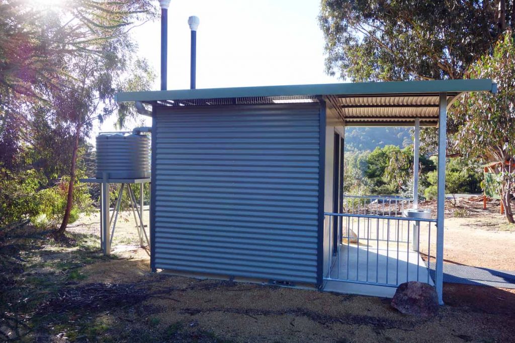
There are very good facilities at this carpark including modern toilets
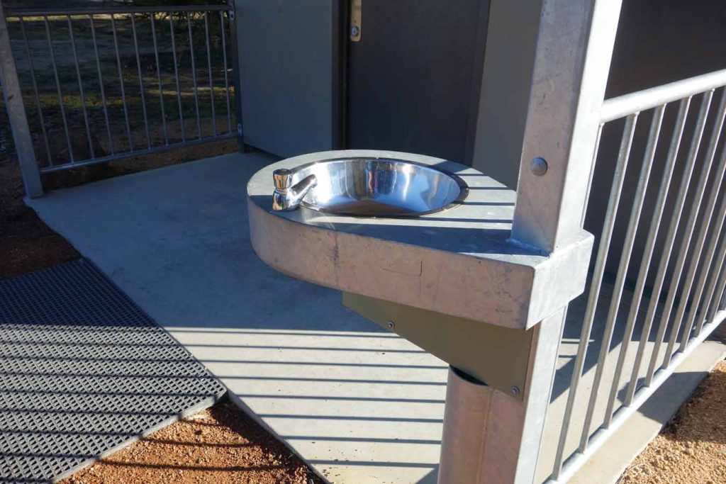
This water didn’t work on the day we took this image. It’s best to bring your own water than rely on it here
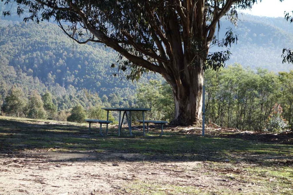
Excellent picnic facilities exist at this car park so bring your lunch to eat on your walk or on return to your car
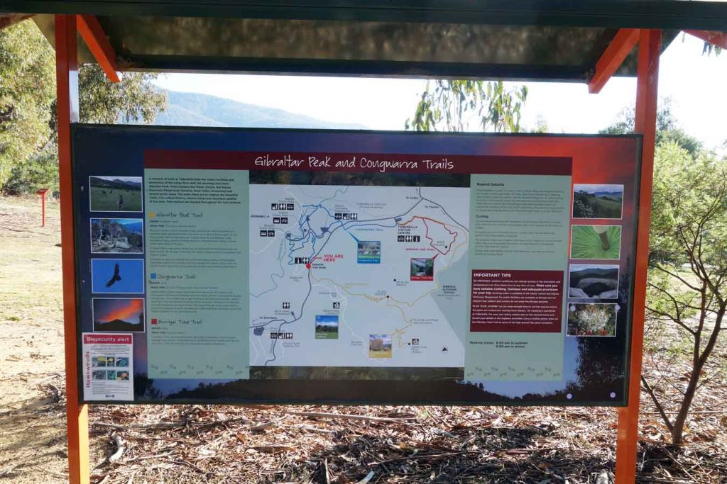
Interpretive sigange at the trail head explains the walk and others that leave from this area
This is a very busy road so cross to the trail head at the crossing provided and keep an eye out for cars
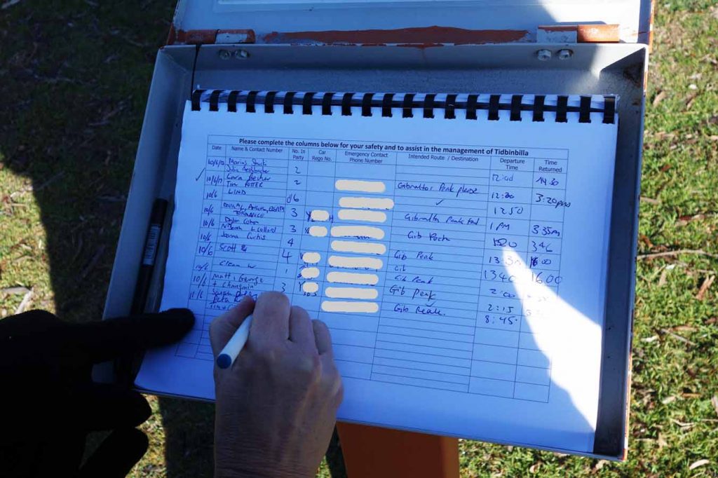
Don’t forget to fill in the trail register and to sign out on your return
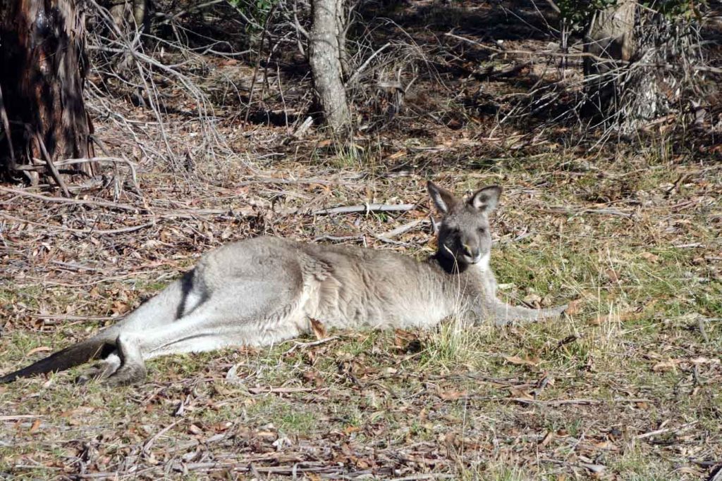
The kangaroos at the start of the trail are very tame and are used to people but will hop away if you get too close
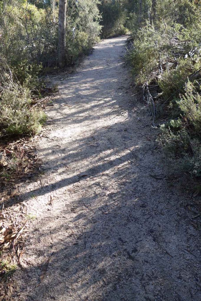
An example of the trail
Trail markers are placed as needed

About 500 metres from the start the trail turns to the left (see the red arrow). If you don’t pay attention you will end up on the Xanthorrhoea Trail. The trail is signposted and you can see the directional marker on the brown post to the lower right in this image
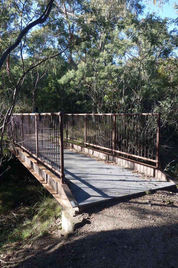
A small bridge along the trail
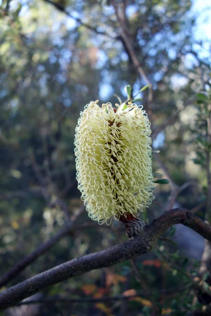
Banksia in flower
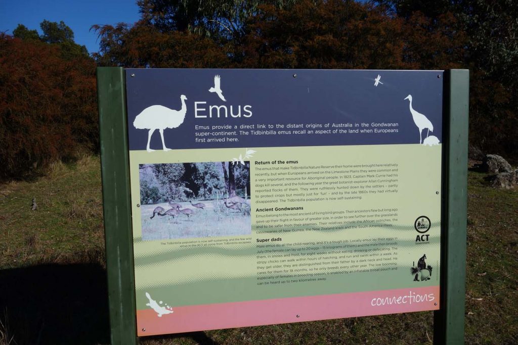
The interpretive signage is excellent along this trail
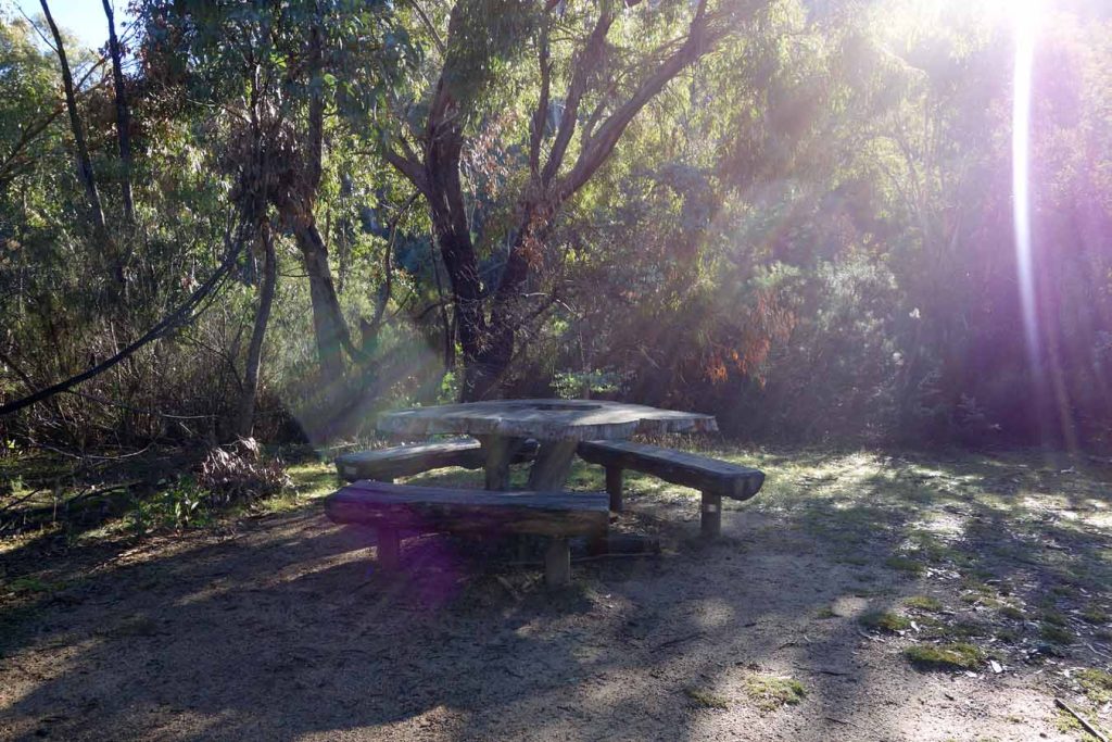
Depending on your timing this is a good area for a picnic approximately half way up
This lookout is about 8oo m from the top and provides good views – its a good place to stop if you don’t want to summit
This handrail is not far past the first lookout and helps to get up and down the rocks
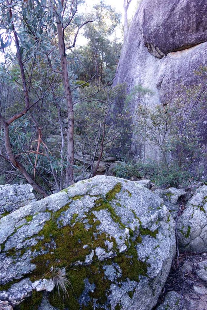
As you approach the summit the path winds its way though the large granite tors

If you go straight on from here you end up at the cliff edge so keep an eye out for kids, and adults here. If you turn right just here it will take to the the top ledge which is where the best views can be gained
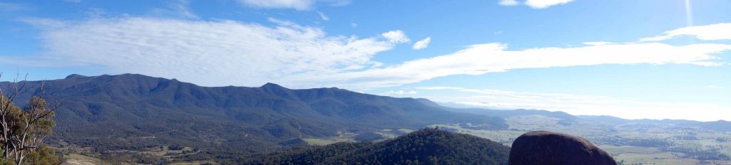
While there are some great views from the many walks around Canberra this is probably the most dramatic and worthwhile walks
Looking out over the plains below
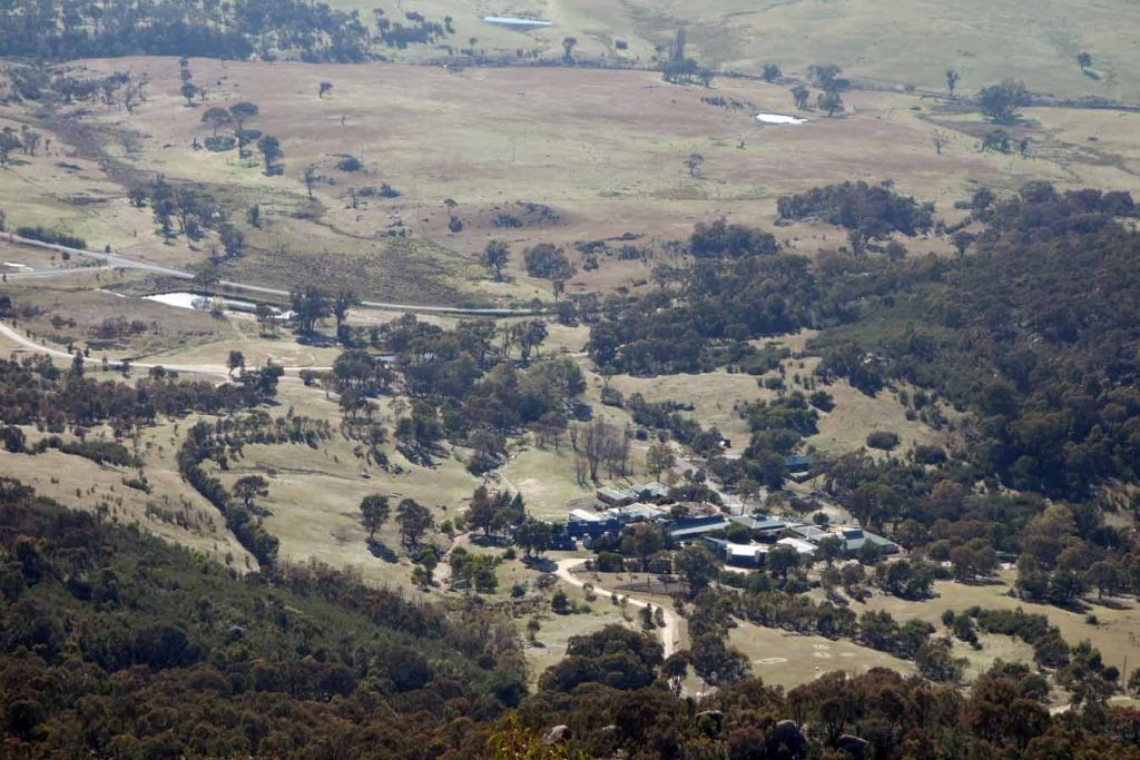
Birrigai Education Centre down below
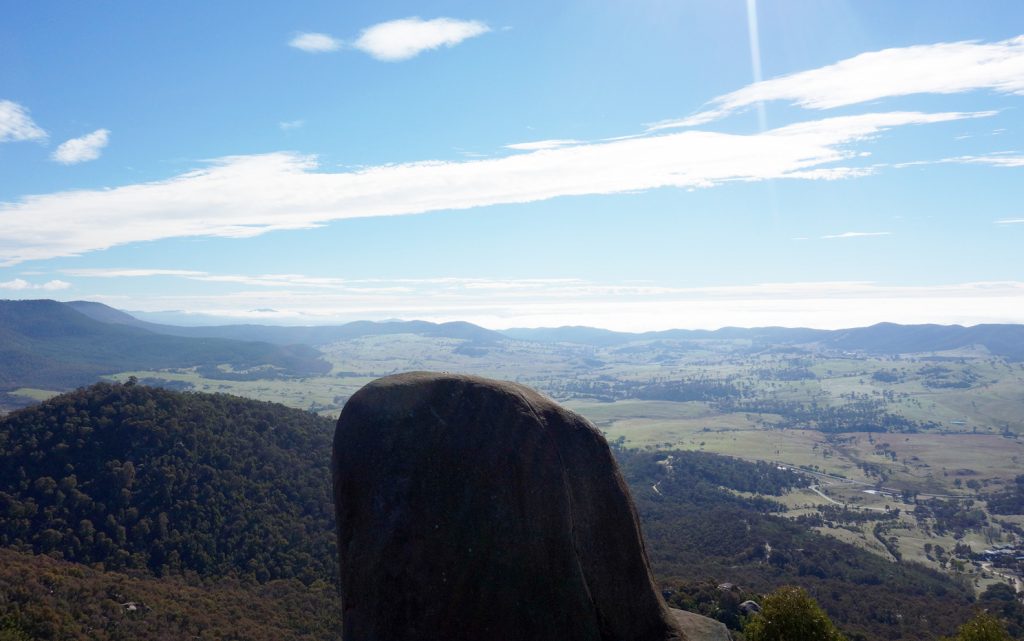
View from Gibralter Peak. If you look really closely you can just see just see some rock climbing bolts at the top of the large rock in front of the cliff face for top roping
Trail video
This short video contains photos and video from our walk to show you the walk from start to finish
Getting There
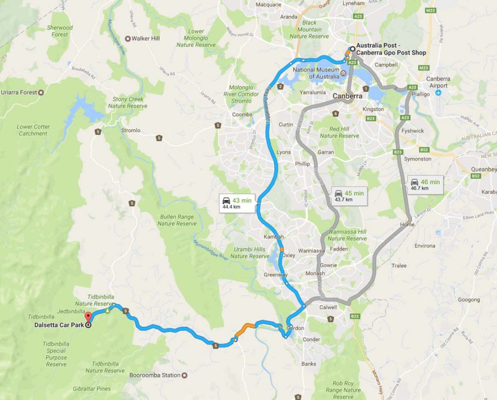
Image from Google Maps
The trip from the centre of Canberra is approximately 45 minutes and 45 km. Once you enter the nature reserve itself travel to the Dalsetta car park to start your walk. The car park in approximately 2 km from the visitor centre on your right and is clearly signposted.
The Tidbinbilla Nature Reserve contains a series of walks that are closer to Canberra to those at nearby Namadgi National Park. Many of the Namadgi walks, particularly those that go into the Bimberi Wilderness Zone, are more remote requiring a higher level of skill but with it a higher degree of seclusion whereas the Tibinbilla walks are easier to access but you are unlikely to be alone on the trail.
If you have an annual pass you can enter the park via the boom gate and scan your pass from as early 7:30am in the morning and you will need to be out by 6:00pm at the latest (8:00pm in summer). If you are buying a single entry into the park you will need to wait until the visitor centre opens at 9:00am.
Tidbinbilla Nature Reserve entry
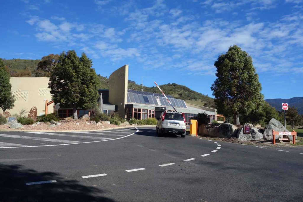
Tidbinbilla Visitor Centre and boom gate. If you have an annual pass you can just swipe your card for access without having to enter the visitor centre
Things to Know
- Phone: There is variable phone signal on this track, mainly at the higher sections of the walk. Data signal is limited
- Water: You need to bring your own water although this walk is short enough not to carry much
- Toilets: There are toilets located in the carpark area at the trailhead
- Trail: This trail consists of formed natural track
- Dogs: No dogs allowed
- Other:
- This walk is done in a out and back return fashion
Tidbinbilla Nature Reserve requires a pass to enter with your car (with up to 8 passengers).
- The annual pass is $44.11 and if you plan on doing at least three visits over the year is the cheapest option
- A day pass is $15.53
- The reserve is accessible before the visitor centre opens so long as you walk in or have an annual pass
- The visitor centre sells snacks if you need
Prices as at 28 October 2025
Disclaimer
This walk was undertaken by the team from Australian Hiker