Orange Track, Bungonia NSW (2.2km)
Bungonia National Park
Nearest Town
The closest town to the trailhead is Goulburn, NSW. You will also pass close to the tiny hamlet of Bungonia in the way into the park
Starting Location
Start this trail from the Gabriel de Kerrileau car park
Finish Location
Start this trail from the Gabriel de Kerrileau car park
Best Time of the Year to Walk
Year round
Orange Track, Bungonia NSW Review
Bungonia National Park is without a doubt one of those gems that for many remains unknown. It is located in Country NSW close to the inland city of Goulburn, 90 minutes from the outskirts of Canberra, and not much further from the southern outskirts of Sydney. This National Park focuses on the Bungonia Gorge, a large gorge that provides panoramic views and contains plenty of key walks that will suit walkers of all levels of experience, including one that takes you into the gorge itself (the Red Track).
Each track within the park has its own unique character including the Orange Track. The Orange Track is, along with the Mount Ayre Lookout Track, the shortest of the trails in this park. In addition, the Orange Track is also the easiest track to walk with minimal elevation changes on a wide easy to follow track.
On the weekends we visited we got the impression that the Orange Track doesn’t seem to hold the same sway with experienced hikers who will more often than not, do one of the longer tracks within the park. Having said that this easy to walk trail takes you out to its own natural lookout that provides views over parts of the gorge you aren’t going to see on any of the other walks. And on the day we visited there were cockatoos everywhere. Once you get back to the car park there are also barbecue, picnic and toilet facilities available.
While this track isn’t going to grab as much attention of keen bushwalkers, sometimes you want a track that all the family can do without punishing those who aren’t as fit or physically able. It also makes a great second walk fo the day when you’ve done one of the more physically punishing options. This means the Orange Track is a gentle way to finish your day.
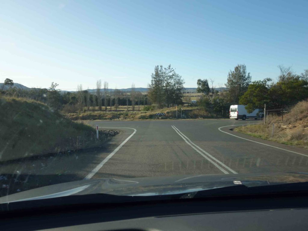
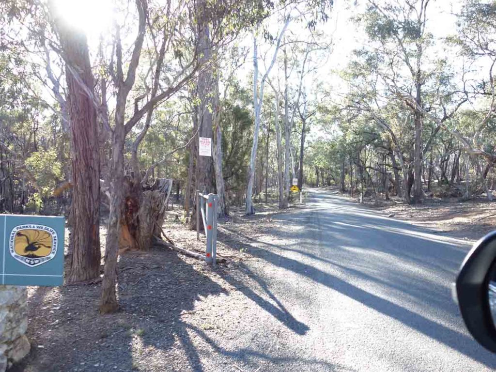
Getting to Bungonia National Park takes a bit of weaving but the signage is reasonably good
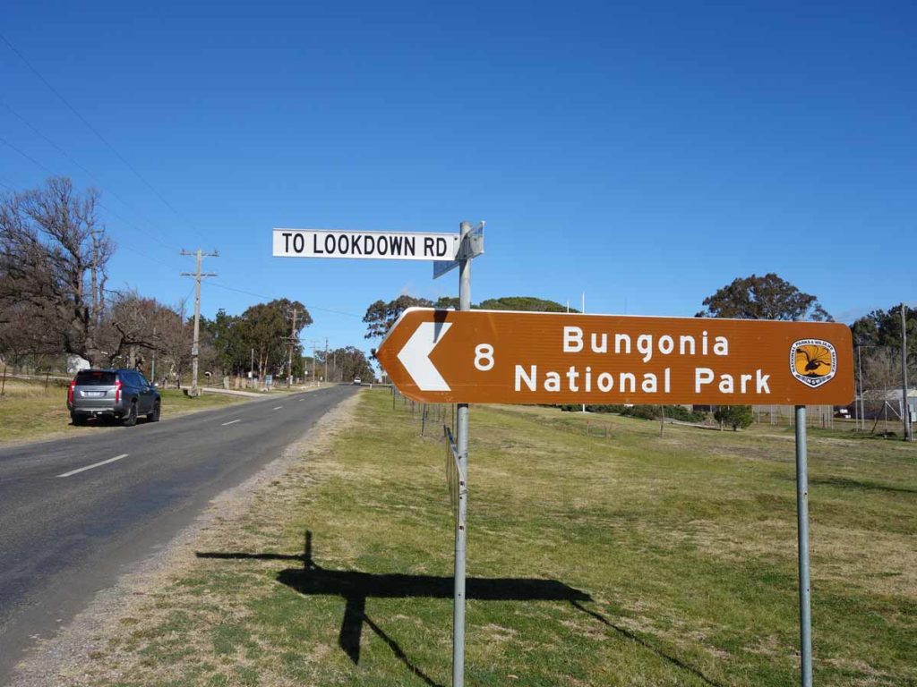
Follow the road signs to the park
The signage is very obvious to the park. This intersection is just before Bungonia village
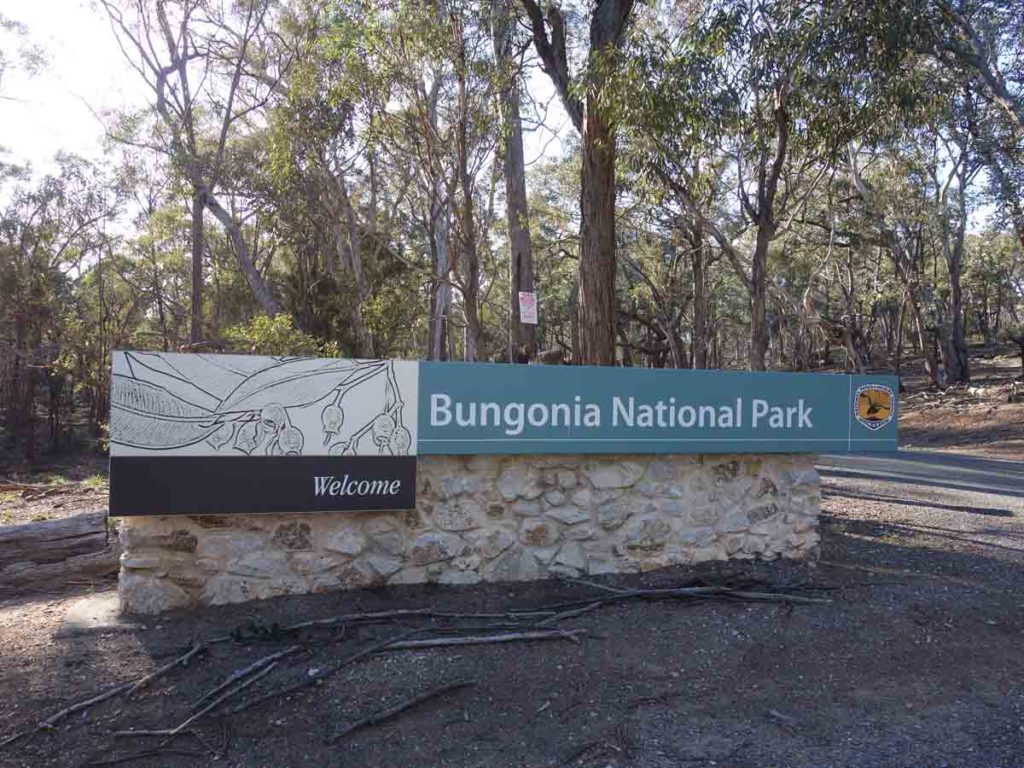
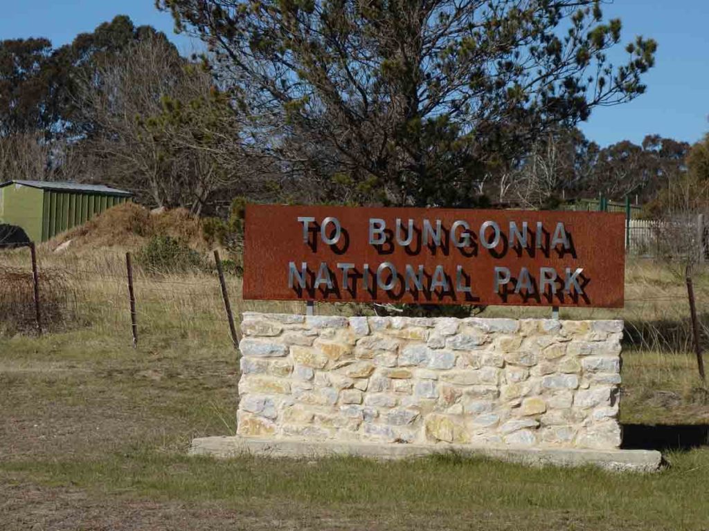
Entering Bungonia National Park
Visitor centre car park
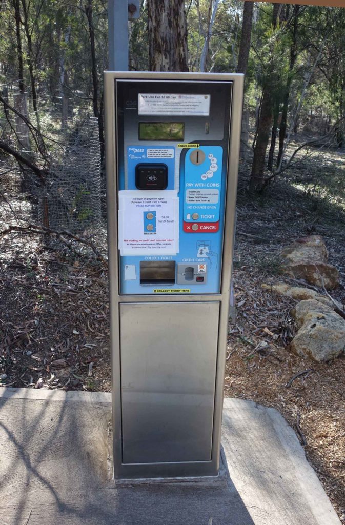
Park entry fee machine
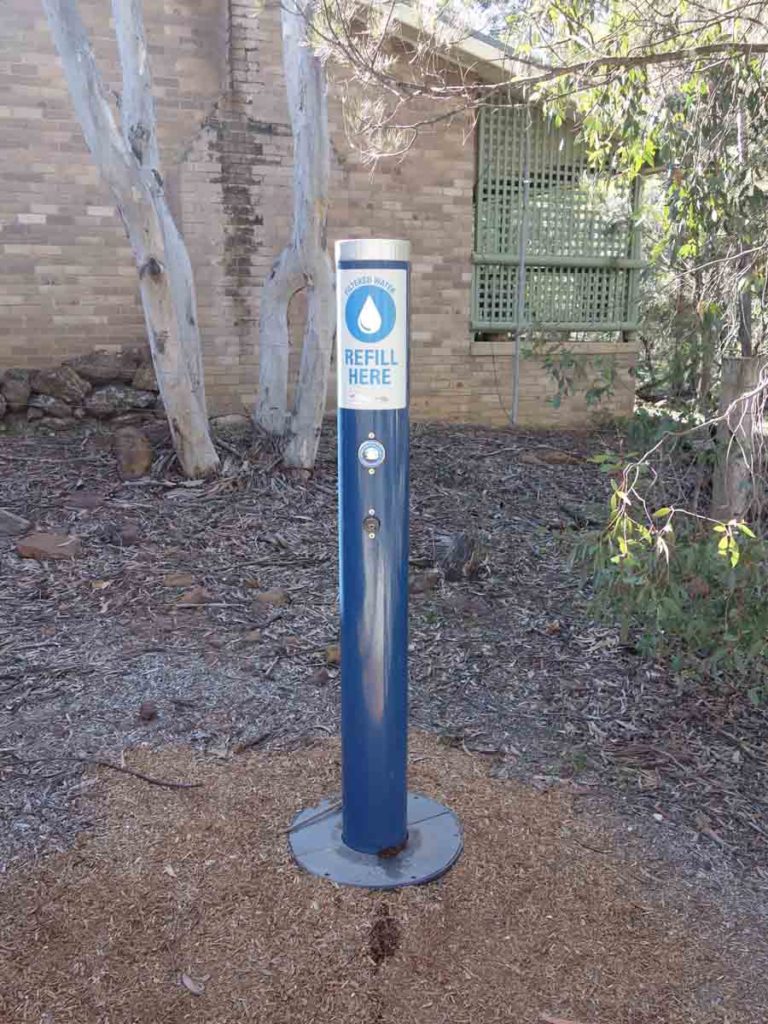
Water tap at the visitor centre. There is another one at the campground. The water tanks at the car parks contain unfiltered water
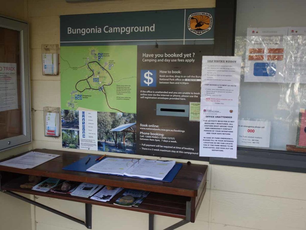
Close up of trail register – make sure you sign in and out. There are copies of the paper trail maps just to the side of this register
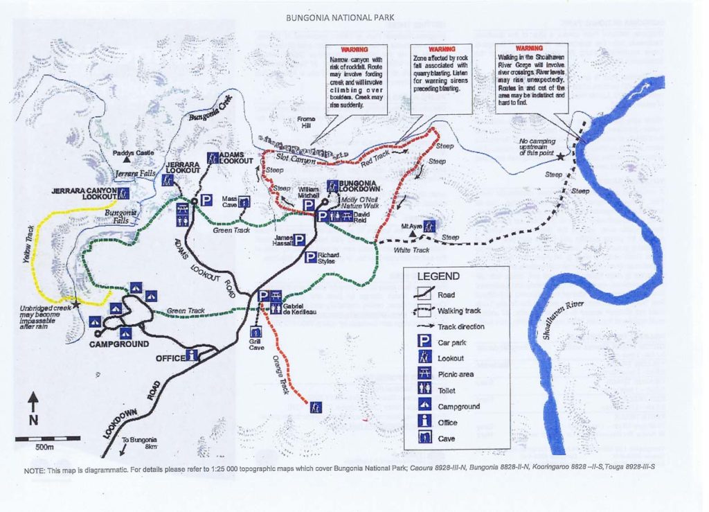
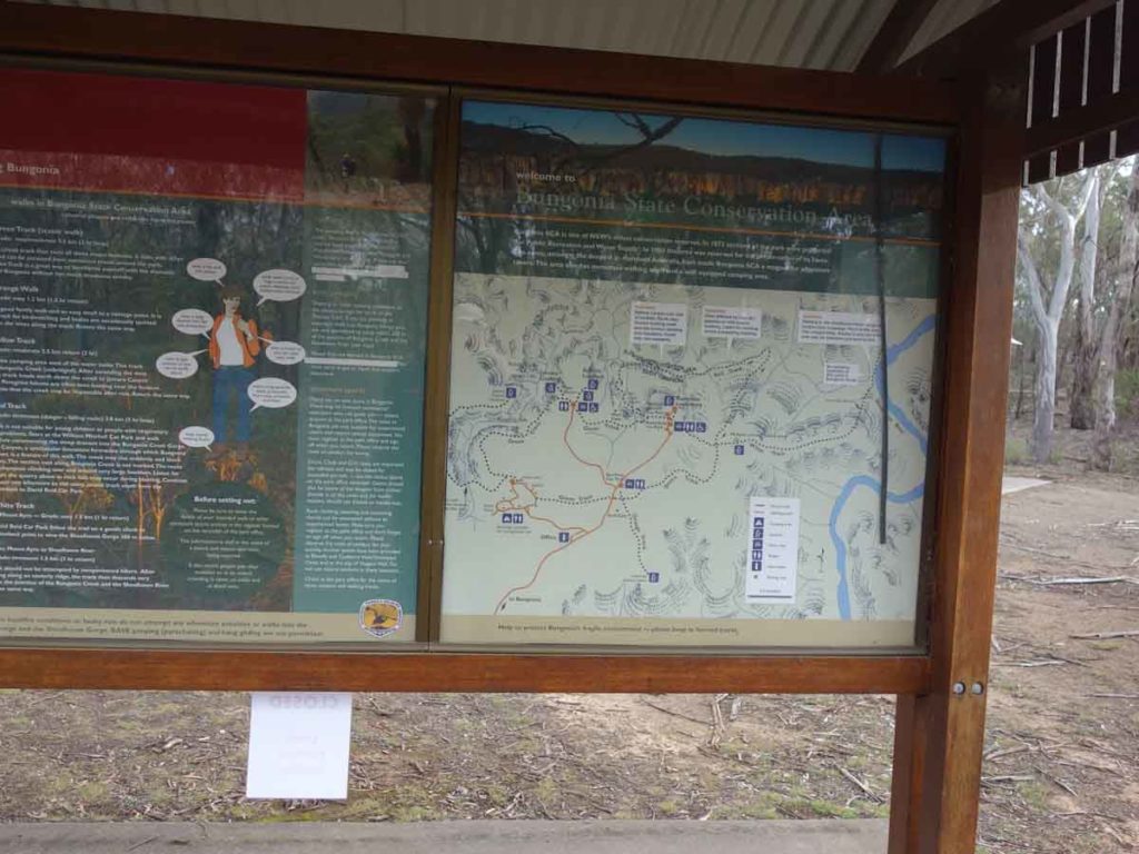
Bungonia Gorge trail map. This image was current as at 2 August 2020. Use this as a guide but you are best picking up a hard copy at the park just in case there have been changes
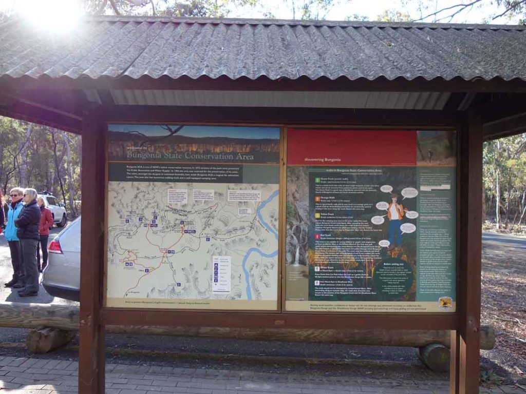
Bungonia Gorge signage. These information kiosks are spread around the park and contain detailed information on the walks
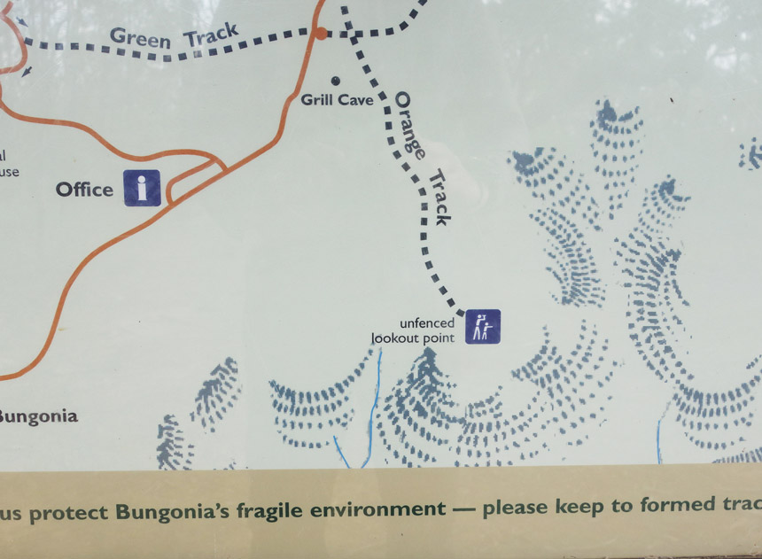
Close up of map showing Kerrileau car park. This car park is less than a 3 minute drive from the visitor centre
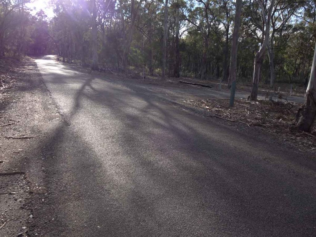
There is a road that accesses all the main car parks and runs a short distance through the park. It is a bit narrow in places so pay attention to the traffic
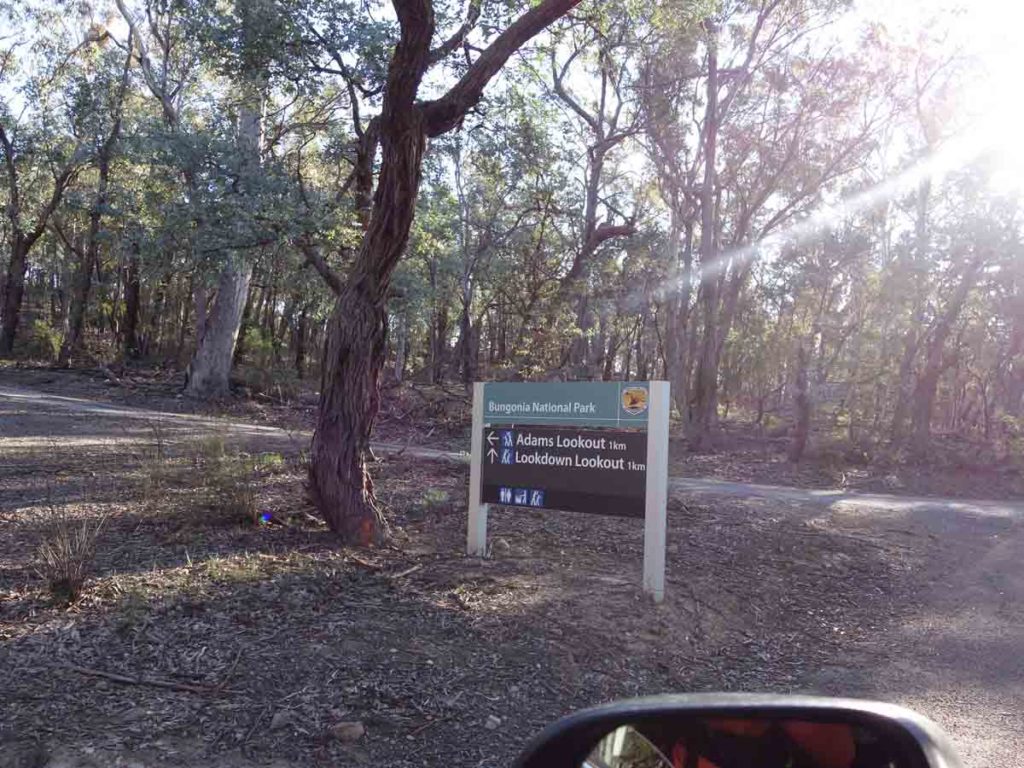
Turnoff to Adams Lookout. You will drive past this sign on the way to the Kerrileau car park
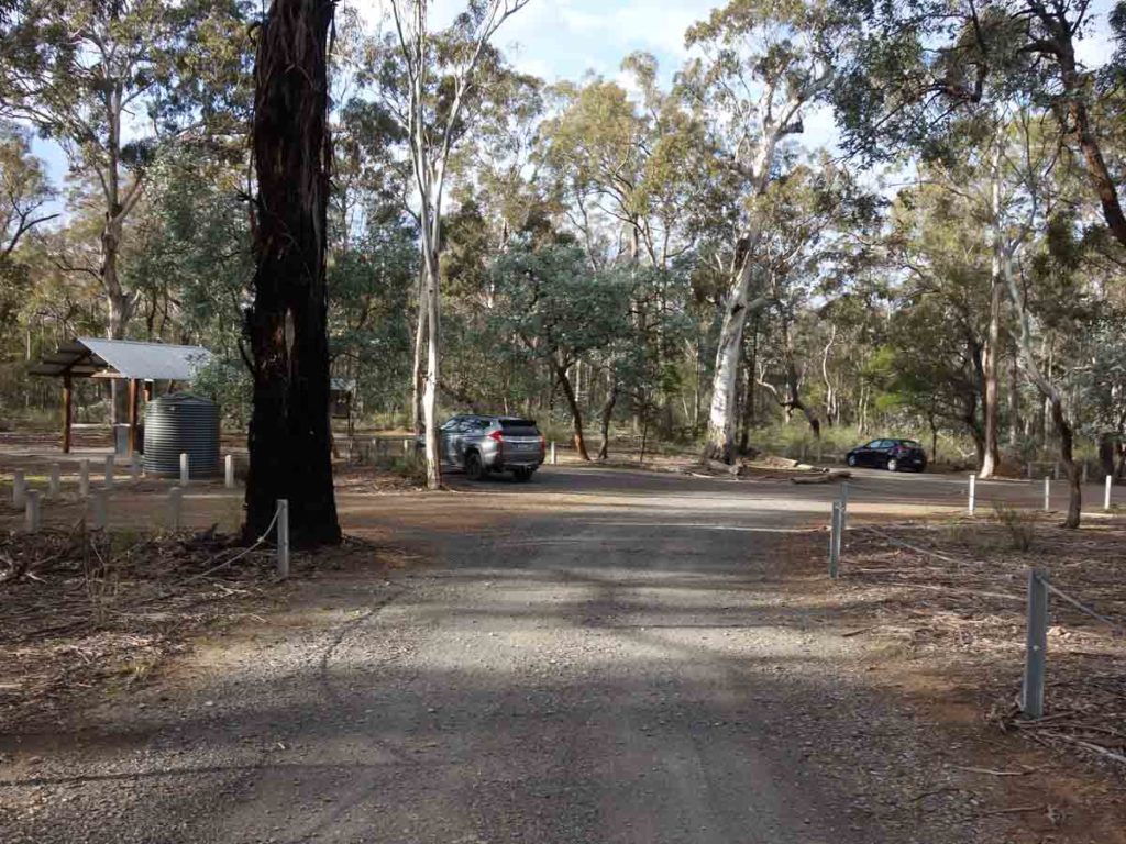
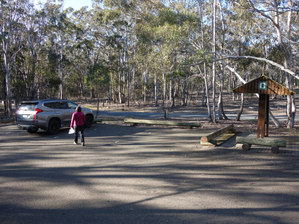
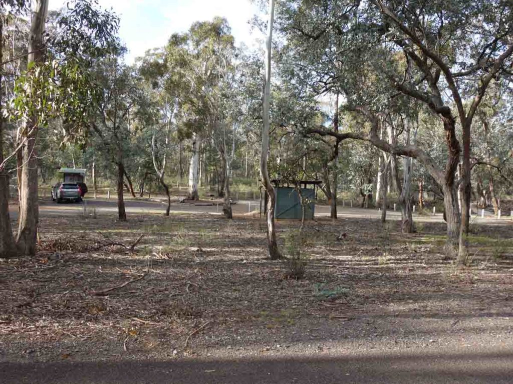
Entry into the Kerrileau car park
Kerrileau car park
Toilet facilities at the Kerrileau car park
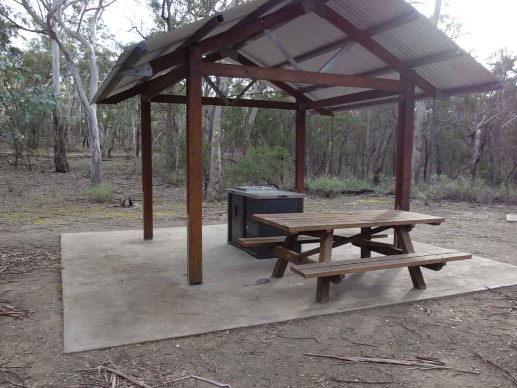
Barbecue near the Orange Track trailhead
Kerrileau information kiosk
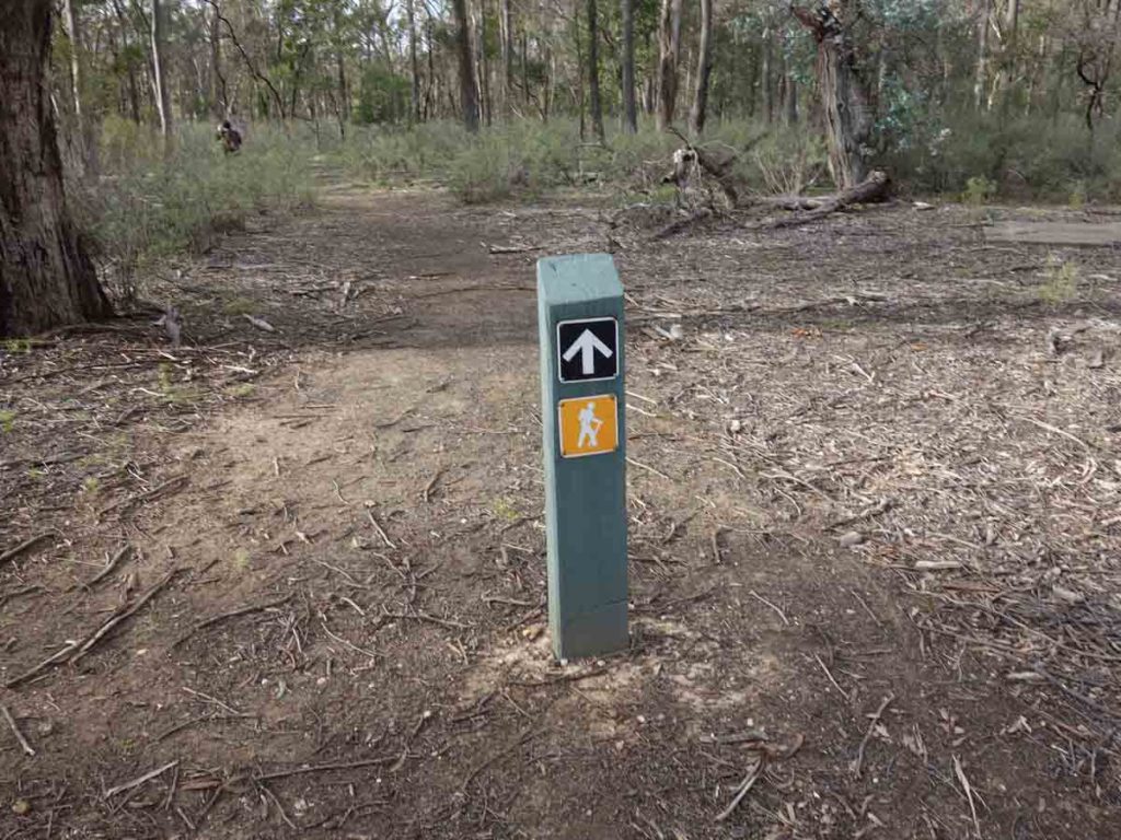
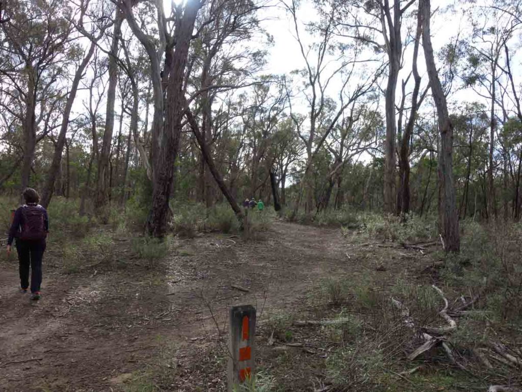
Orange Track trail marker
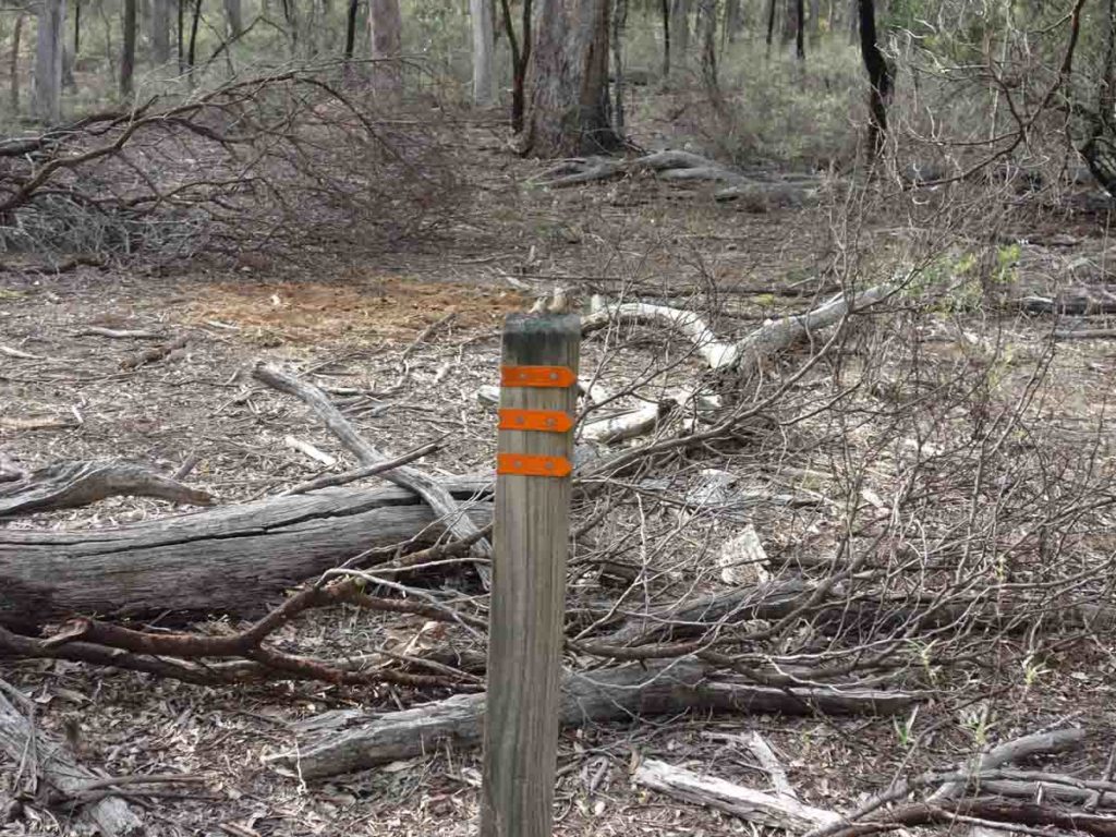
Orange Trail marker. There are also orange squares on some of the trees just above eye level
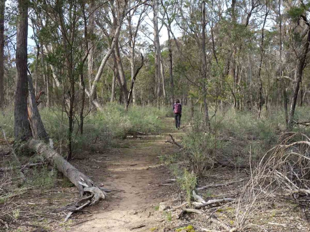
Trail example near the start of the trail
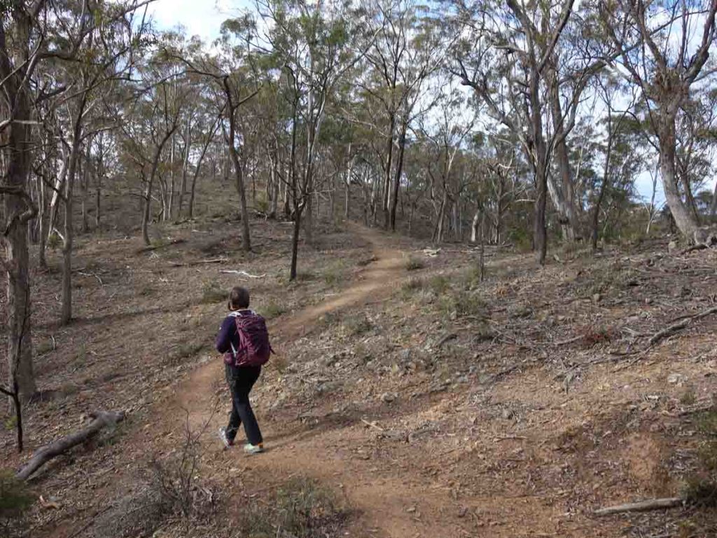
Trail example from another section
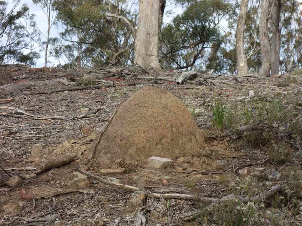
Termite mound just off the track
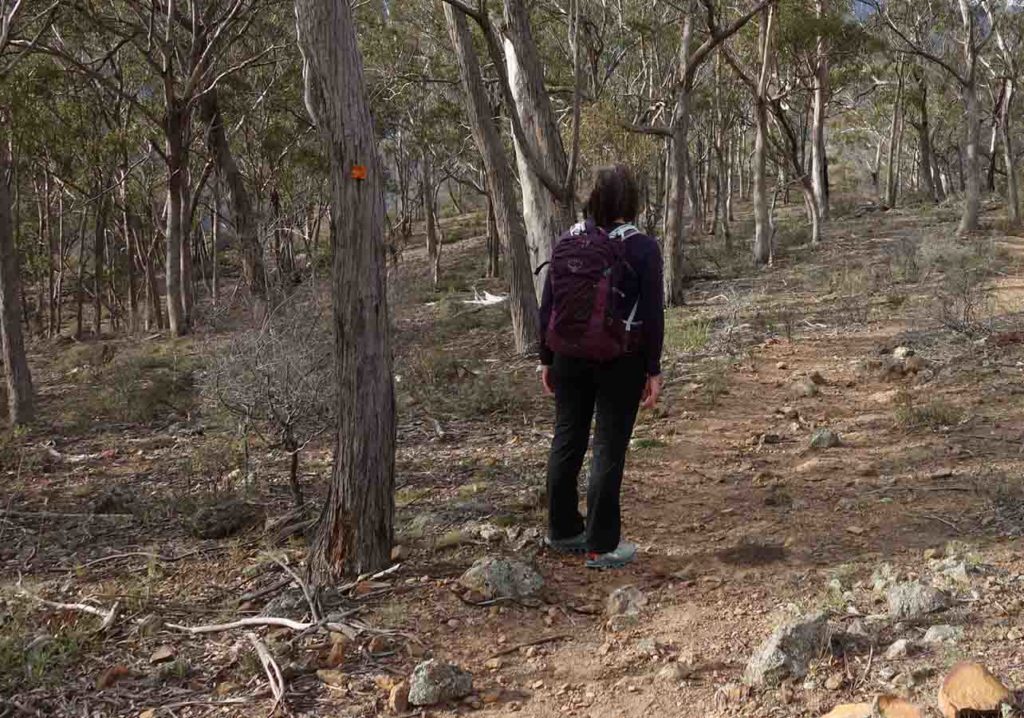
Orange Trail signage on the tree
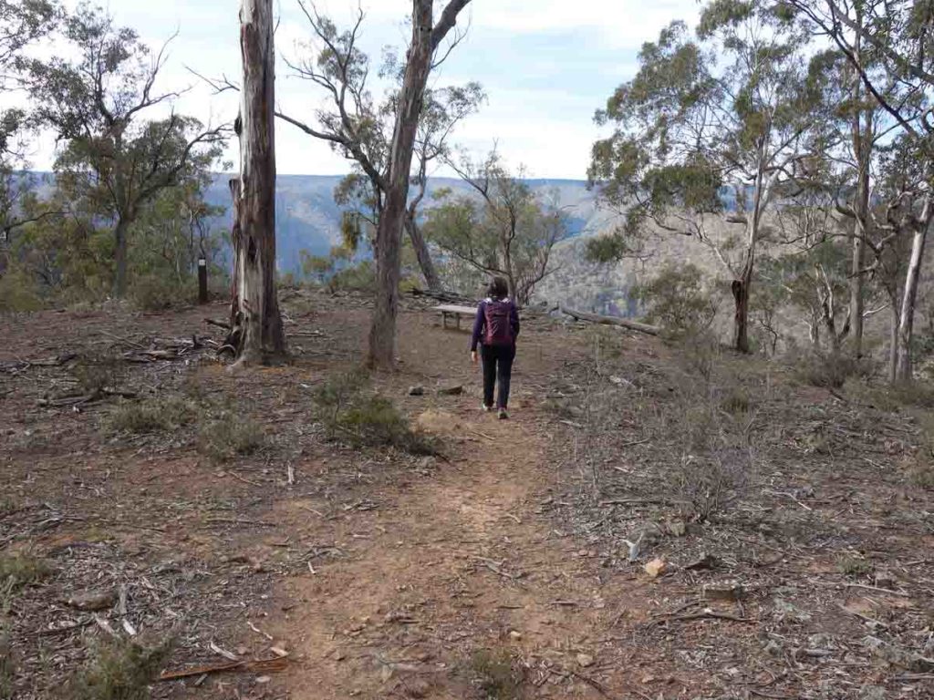
Approaching the lookout
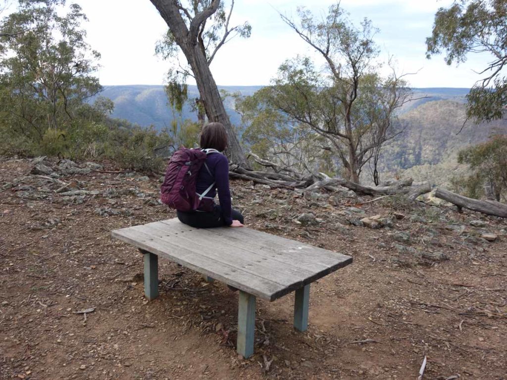
Orange Track lookout image – its a great spot for a tea break
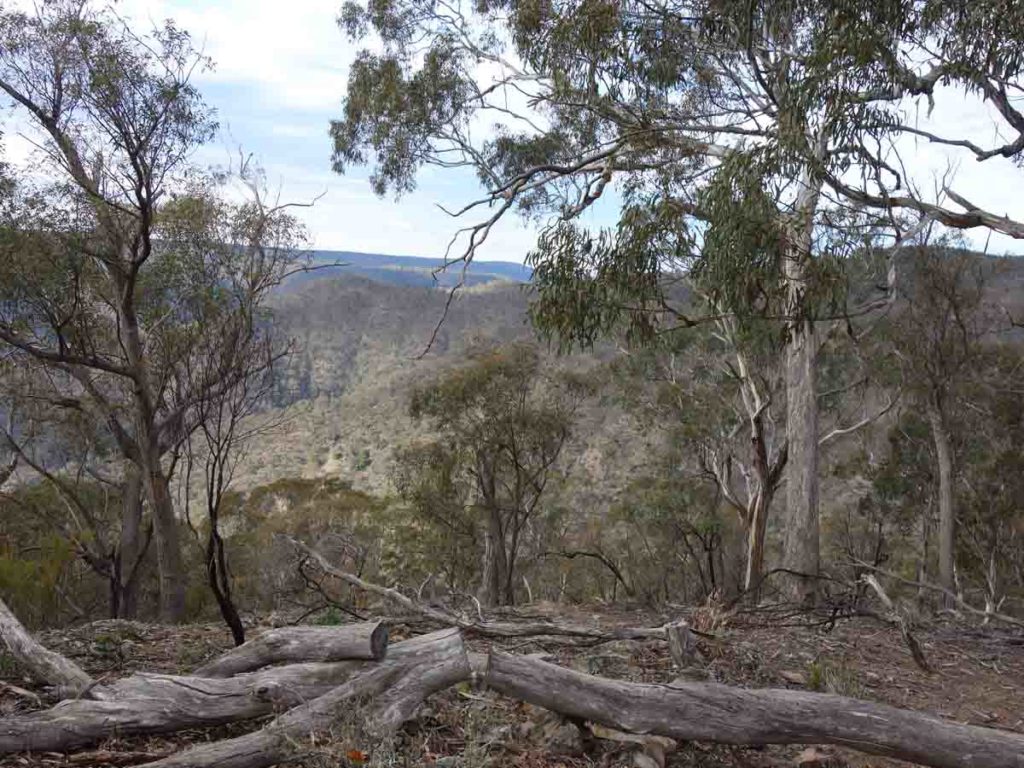
Orange Track lookout view
Video taken at the lookout on the Orange Track in Bungonia National Park
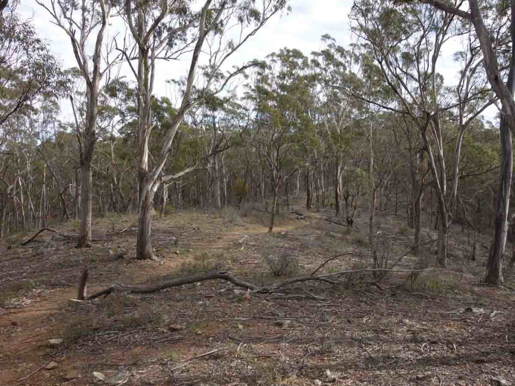
Heading back to the car park
Crossing over the Green Track on the way back to the car park. At this point you have less than 100 metres to go
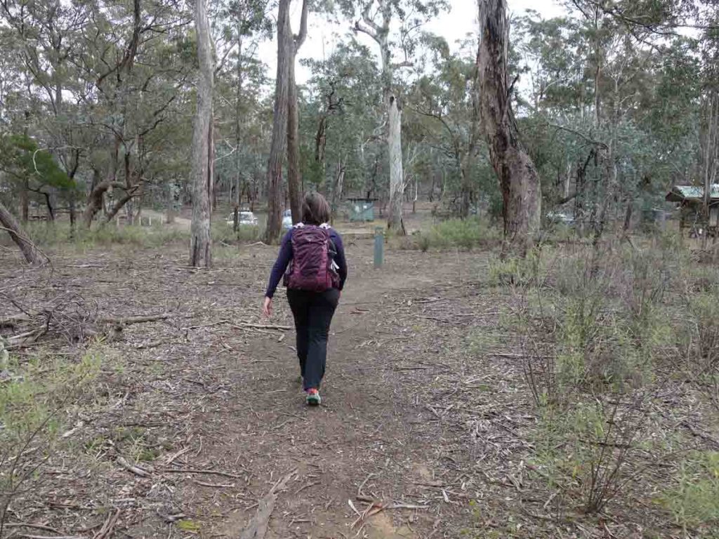
Returning to the Kerrileau car park after doing the Orange Track
Track video
This is a short video from start to finish on the Bungonia national Park Orange Track
Getting There
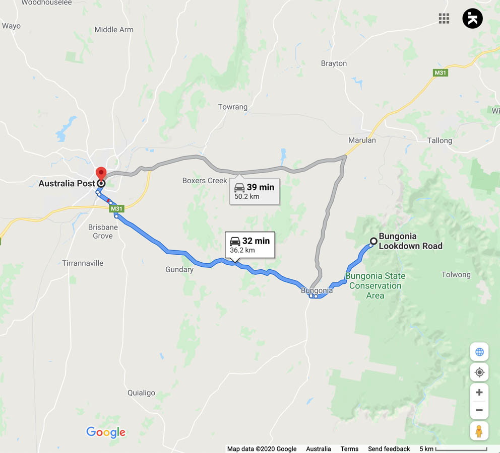
Google Map to trailhead for the Orange Track. The trailhead is around 37 km from the Goulburn GPO and around a 30 minute drive
Things to know
- Phone: Phone signal on this trail is variable (Telstra) but while you may get text and phone usage in some areas, you are unlikely to get data access
- Water: There is water available at the visitor centre but not on trail
- Toilets: There are toilet facilities at the trailhead car park
- Trail: This trail consists of formed track, small sections of management road and occasional small bridge sections
- Dogs: No dogs allowed
- Camping: allowed in the Parks camping area
- Other:
- This walk is an out and walk back experience
- This trail is on easy to follow formed track
- You will need to sign a visitor intention form so you can be traced in case of emergency. You will also need to sign in after you have finish
- It’s worth picking up a copy of the paper map available next to the sign-in book to get you an overview of the various tracks in the park
This car park will comfortably fit around 15+ cars if people park correctly
Kerrileau car park toilet
Disclaimer
This walk was undertaken by the team from Australian Hiker