Western Foreshores Walk NSW (20.3 km)
Googong Foreshores
Nearest Town
Googong via Queanbeyan
Starting Location
Foreshores car park, Googong. Parking in the top car park gets you closer to the trail head

Finish Location
Foreshores car park, Googong. Parking in the top car park gets you closer to the trail head
Best time to Travel
Cooler, wetter months of the year
Western Foreshores Walk Summary
This is one of the longer walks in the Googong area at 20.3km and in fact it can be either a walk/ride given its on the management trail for just about the entire way. The distance of the walk and the fact that you are walking on management road, means it can be punishing on the feet; this is a physically hard walk.
You have two options to do this walk. The first is the way I did it as an ‘out and back walk’ or you can walk in one direction and get picked up at the other end. If doing this walk from car park to car park, I would suggest starting at the Tin Hut Car Park and finishing at the Foreshores car park – my reasons are explained in this write up. If doing the full ‘out and back walk’, start and finish at the Foreshores car park.
As you turn off Googong Road and head towards the Foreshores car park, you will drive past the trail head for this walk. While you could park just outside the gate, I suggest heading into the car park proper and parking in the top car park. Aside from keeping you car out of the way and potentially getting a bit of shade on the vehicle, it means you are closer to the toilet facilities. Walk back the short distance out to the entry road and head up the hill about 40 metres where you will come to the the trail head.
As mentioned, this walk is almost entirely on management trail and while there is nothing overly steep, you do spend a lot of time going up and down the rolling hills for almost the entire trip. There is minimal signage on this track and only where it’s absolutely necessary so you need to trust you are heading in the right direction.
The trail parallels Googong Dam and provides either direct views or glimpses for a good part of the walk out to the left hand side and to the old farmland then bushland on the left. Now the reason I have recommended to start this walk from the Tin Hut car park if you are only doing this walk as a one way option, is that it provides better views when travelling in that direction. This trail has minimal wildlife to offer at, least through the hotter months of the year. While we came across the odd wallaby or kangaroo, the main thing you will see is birdlife. If you are into bird watching then I suggest the late winter spring when there is plenty of water around. In fact, the dam at the Tin Hut car park has a number of bird hides for the enthusiast. There are toilet and barbecue facilities at each of the two car parks on this trail so you take advantage of these facilities if you are so inclined.
If you do the full walk one recommendation I would make is to use the front half of the 4.9km Shoreline walk on the return leg to provide a bit of variety. Choosing to do this may add about 200-300 metres to your walk but it is well worth it.
While I enjoyed this walk, I wouldn’t rate it as spectacular by any means and if I went back again, I would probably only do it as a one way walk from Tin Hut car park-Foreshores car park. If however you are looking at doing some long distance training hikes this is one of the easiest to access in close proximity to central Canberra and will provide you with a good work out.
One thing to note with this walk is that it is a gated walk and is usually open between 8:00am-5:00pm (later during daylight savings) so remember this if you are close to those times – you don’t want to get locked in at night time.

Do’s and dont’s. The Googong Dam is one of Canberra’s main water supplies so take care

Toilet facilities at the Foreshores car park

Trail head in the lake end of the lower car park

Turn sign, one of the few on the trail

Views over the Googong Dam

Similar view on a different day to the image above. What a difference a day makes

Rose hip (fruit). Seeing rose bushes in the previously rural areas in not uncommon

Wells Inlet sign. From here you can head down to one of the various inlets on the dam

Management road. The whole trail is like this passing through old farm land and more dense bushland

Open bird hide at Tim Hut Dam

Tin Hut Dam. This would be an impressive dam with lots of bird life when full

Enclosed bird hide at Tin Hut Dam

Toilet and barbecue facilities at the Tin Hut Dam

Tin Hut Dam car park

Trail signage at Tin Hut Dam

You can either turn around or go around Tin Hut Dam on your return journey

Seating around Tin Hut Dam

Culvert. Once you go past this the turnoff it takes you back to the car park along the lake is just on the right. Otherwise you can continue back along the management road to your starting point

Turn on the right opposite these sign

Alternatively you can keep on going on the road you came out on the back half of the trail is on management road

Views into residential Googong on the way back

Bushland views

Follow the signage back to the car park

Views towards the lake as you head back towards the car park

Once you are through this gate turn right and head back towards the car
Getting There

Google Map to the Foreshore car park at Googong. The start to this trail is approximately 30km from the Canberra City GPO
How to get There: Head through Queanbeyan then on towards Googong
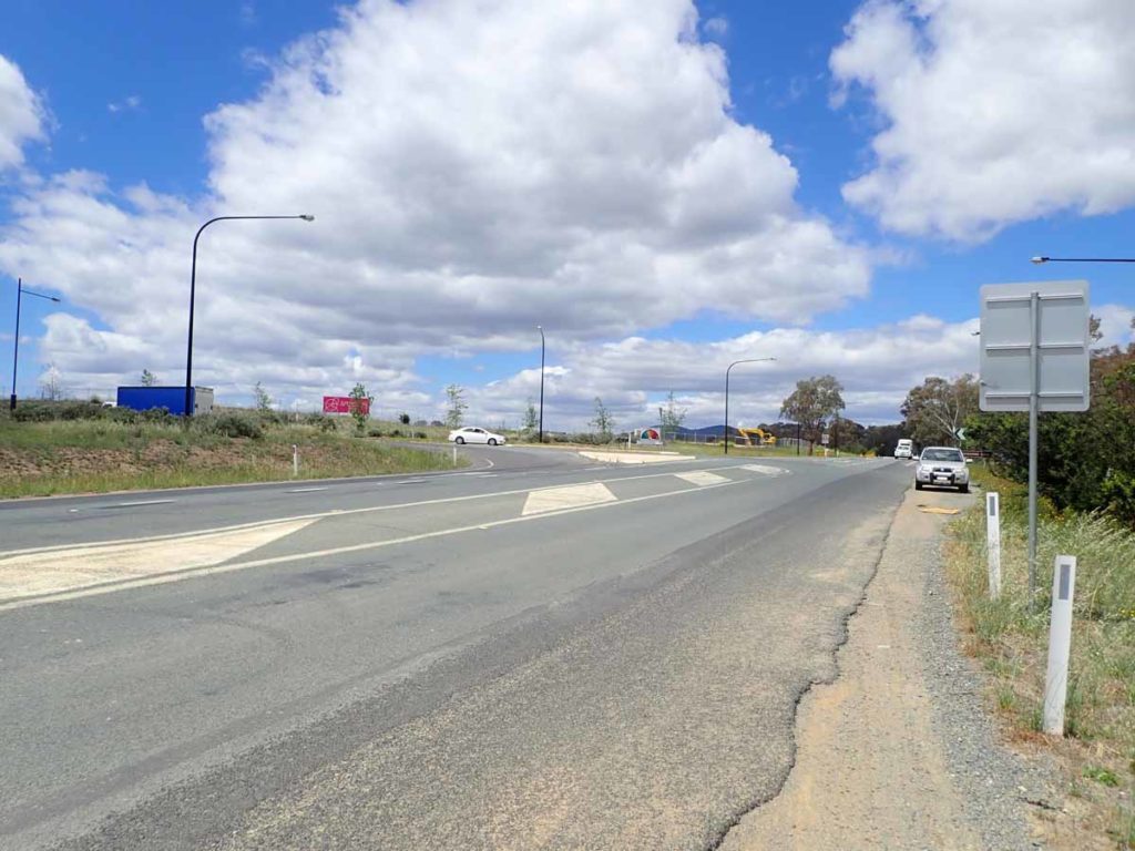
Turnoff to Googong

Turnoff to the Foreshore car park

Trail brochure box just as you get to the car park
The upper car park car park for this walk is is the closet to the trail head

The toilet facilities are just visible in the background to the left
Things to Know
- Phone: The phone signal is variable on this trail but good for much of it at the high points
- Water: You need to bring your own water or a filter
- Toilets: There are toilets located at the visitor centre but they are closed early morning and late afternoon
- Trail: This trail consists of formed track, small sections of management road and occasional small bridge sections
- Dogs: No dogs allowed
- Camping: Camping NOT permitted (this is a water catchment area)
- Other:
- Opening hours are 8:00am-5:00pm (later during summertime) but check on the ACT Government website prior to going
- Although this area is managed by the ACT Government you are actually in NSW
Disclaimer
This walk was undertaken by the team from Australian Hiker
Last updated
12 April 2026