Trachyte Circuit QLD (6.4km)
Glasshouse Mountains National Park
Nearest Town
Beerburrum, QLD
Best Time of the Year to Travel
Year round. If you are hiking in the hotter months start early to avoid the heat
Starting Location
Trail head at the Mount Tibrogargan car park
Finish Location
Trail head at the Mount Tibrogargan car park
Trachyte Circuit Review
For us this was the second walk of the day from this trail head and after doing the shorter Tibrogargan Circuit I must admit I didn’t think this walk was going to be as good. However this preconception soon changed and by the end of the walk I would be hard pressed to seperate them out with the distance being the differentiating factor to decide between them.
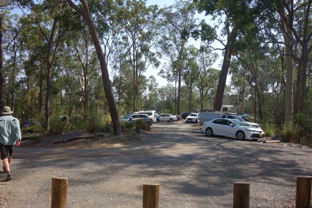
The first thing you need to know is the walks that start from this trail head are popular. We arrived at around 8:00am on Saturday morning and managed to get the last parking space in the car park and even then there were a number of cars parked along the road. There are good toilet facilities and picnic tables at the trail head. Having said that many of the tables are quite exposed to the sun which would be fine in the cooler months but not so great in mid summer.
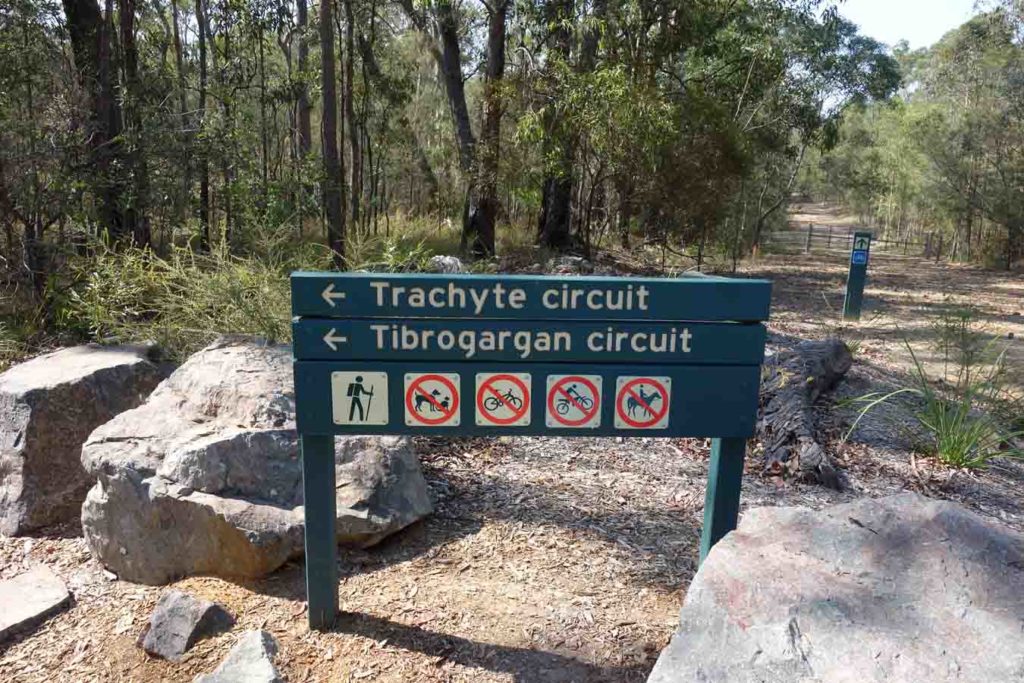
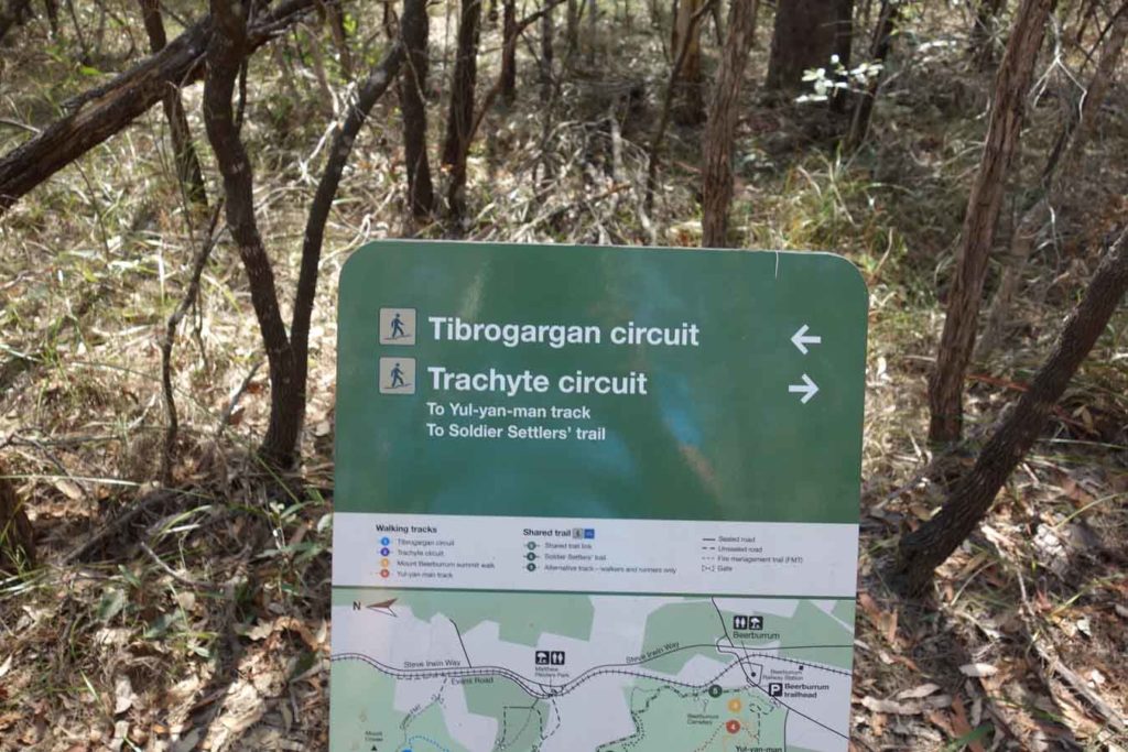
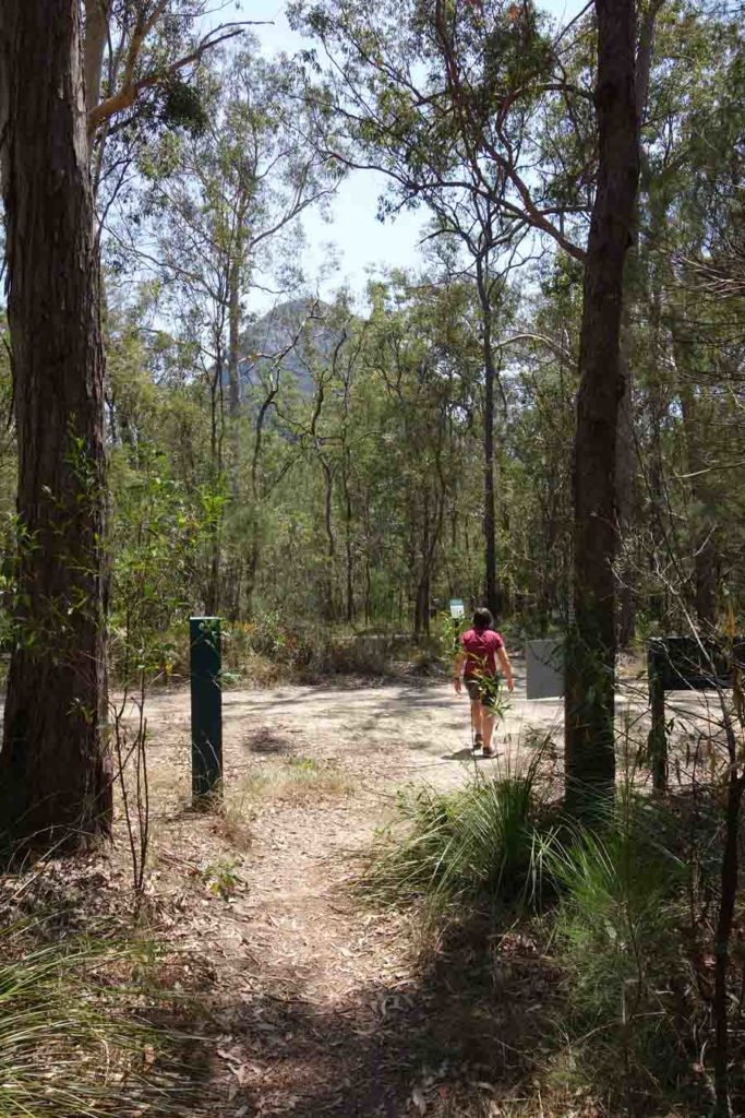
This walk and the Tibrogargan Circuit start of at the same trail head and share a small amount of trail at both the start and at the end. Not long after starting this walk you will hit a ‘T’ intersection that requires you to choose between the two walks. In the case of this walk you are taking the right hand branch and doing the walk anti-clockwise. The big difference between these two walks is that the Trachyte Circuit takes you further away from Mount Tibrogargan and into the surrounding bushland. What this does is provide a wider range of vegetation types and also some differing views to the other mountains in the Glasshouse range and this is the real reason for doing this walk. The Jack Ferris Lookout which you will come across on this trail takes you a 100 metres off trail and is a highlight and well worth doing.
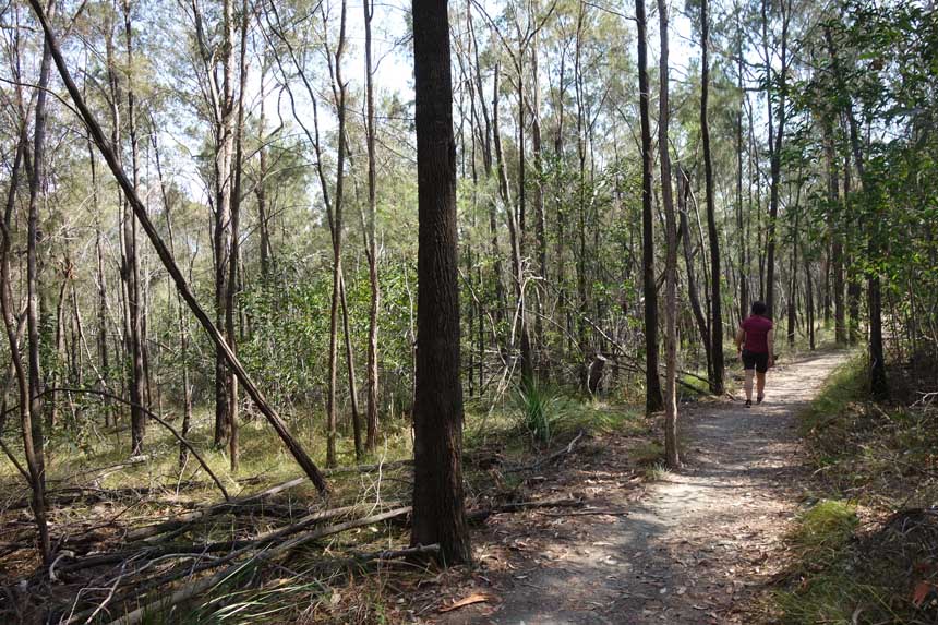
Wildlife was again limited on this trail and apart from birdlife and the occasional goanna we didn’t see much else. Not surprising really as the water sources are very limited particularly on the day we visited. The trail tread on this walk is not as manicured as the adjacent and more heavily used Tibrogargan Circuit but we discovered not long into the walk that the trails in this region are in the process of being upgraded. Having said that the pathway is still some of the best I have done so any upgrade is just going to make them so much better. Currently there is limited signage on this trail, but enough to know where you are going. There is no seating apart from when you connect with the common sections of the track as you come past Mount Tibrogargan.
The surrounding bush land is dryish in nature although it differs a bit more widely as you get away from the dominating peak of Mount Tibrogargan. As we made our way to about the mid point of this trail we came across the connection to the Yul-yan-man Track which can be done as a one way walk with a car shuffle or as return hike back to the starting trail head. We pressed on past this turnoff point and eventually joined back up with the common trail section of the Tibrogargan Circuit before ending up back at the trail head.
Overall the Trachyte Circuit is relatively flat and apart from a section near the start of the walk it’s not overly difficult although it is longer that the Tibrogargan Circuit.
This longer walk was different enough in vegetation type and views to make it well worth doing. It also has lower levels of foot traffic than the adjacent trail so allows for a bit more solitude which may influence your choice.
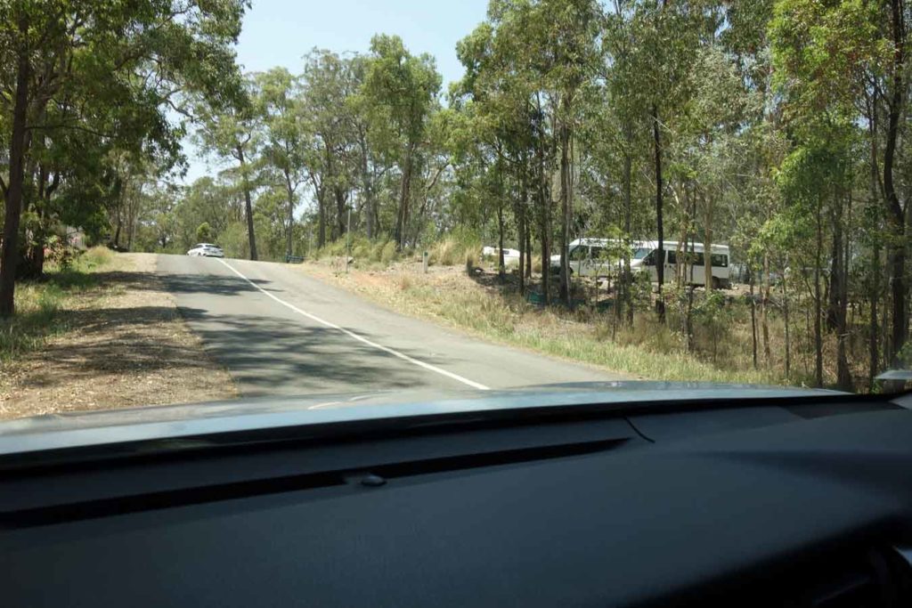
Car park on the right hand side of the road
Mount Tibrogargan car park
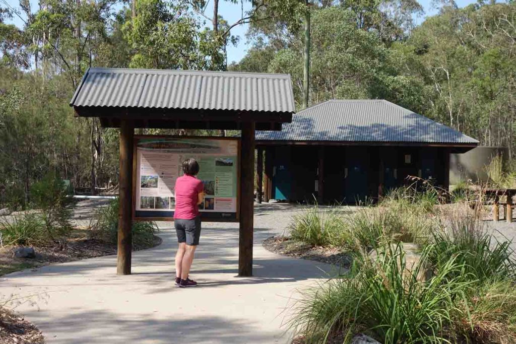
Trail head signage and toilet facilities
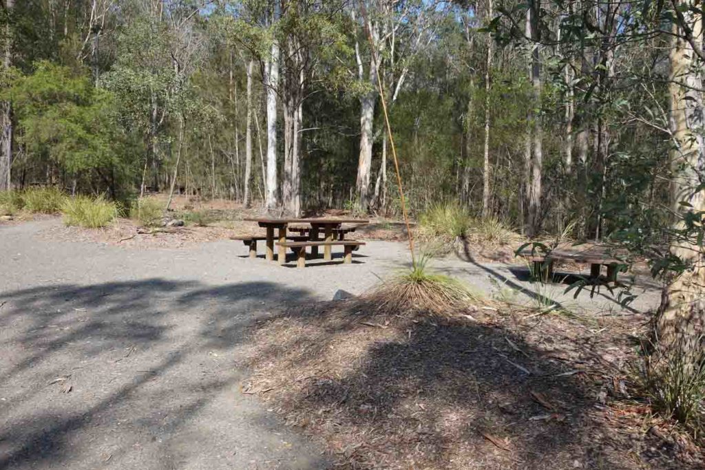
Picnic tables at the trail head
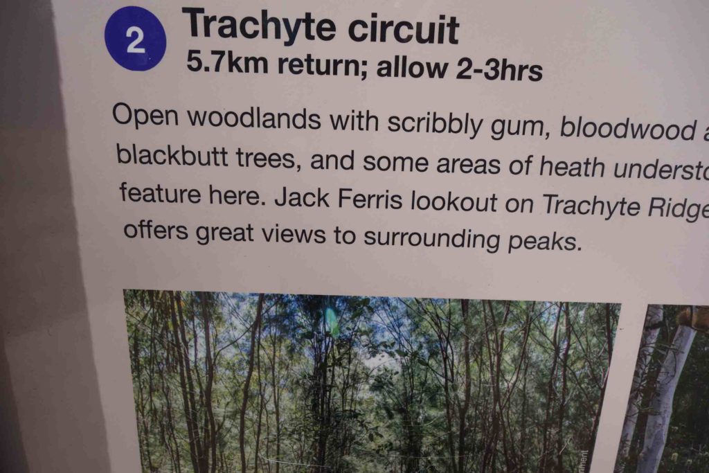
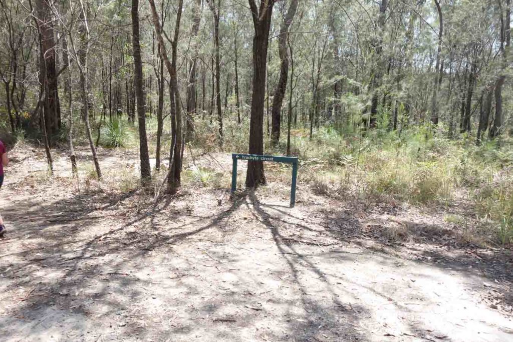
Trachyte Circuit information at trail head
Trail signage
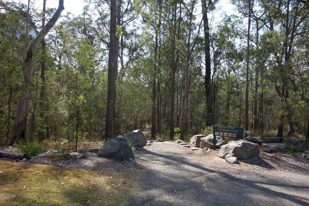
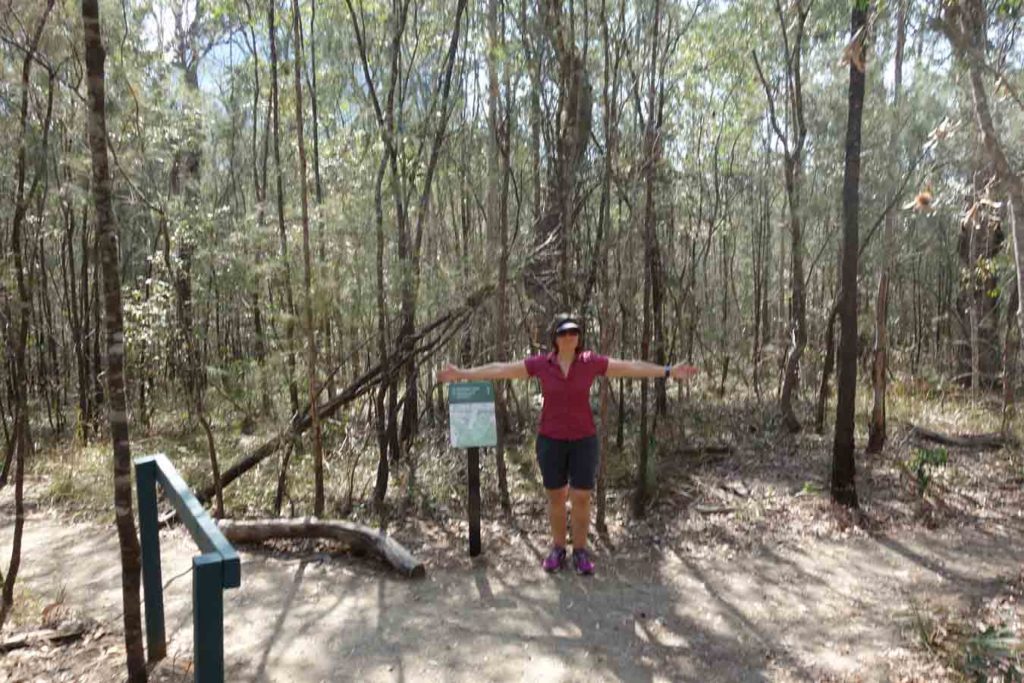
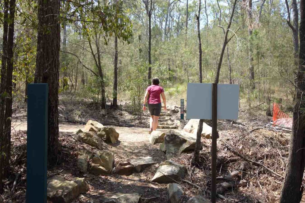
Trail head start
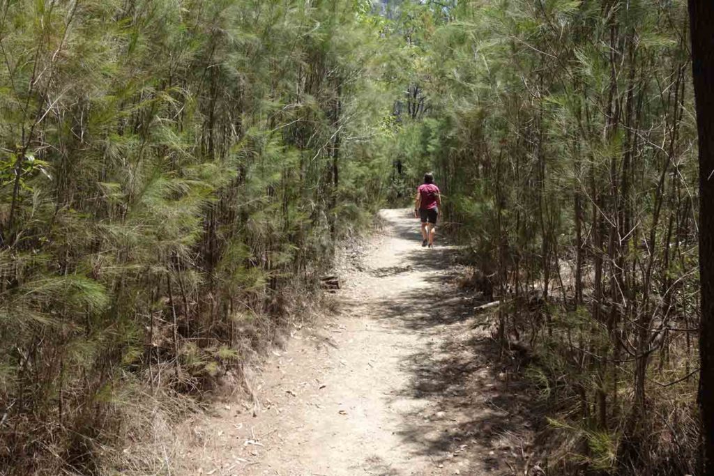
Trail example
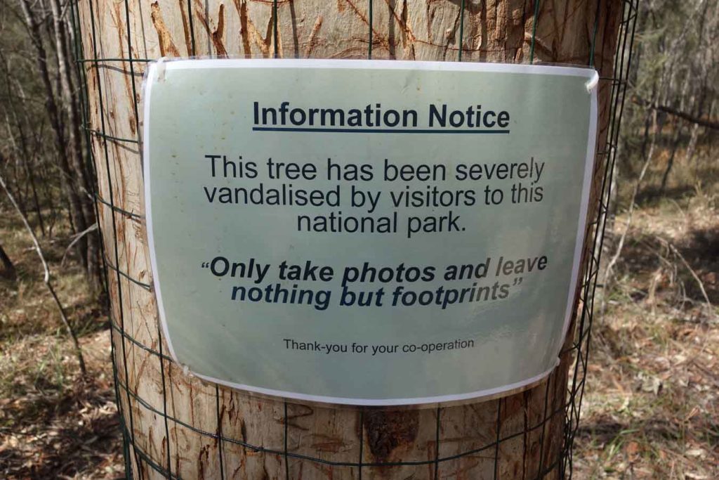
Tree vandalism is rare these days but for some reason people have targeted this tree
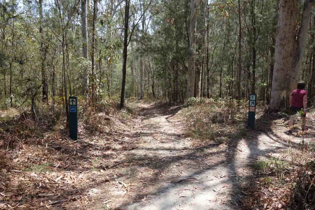
When you hit the ‘T’ intersection not long after you start the trail, follow the signage to the right. If you go to the left you are doing the Tibrogargan Circuit
Trail signage is very good on this trail
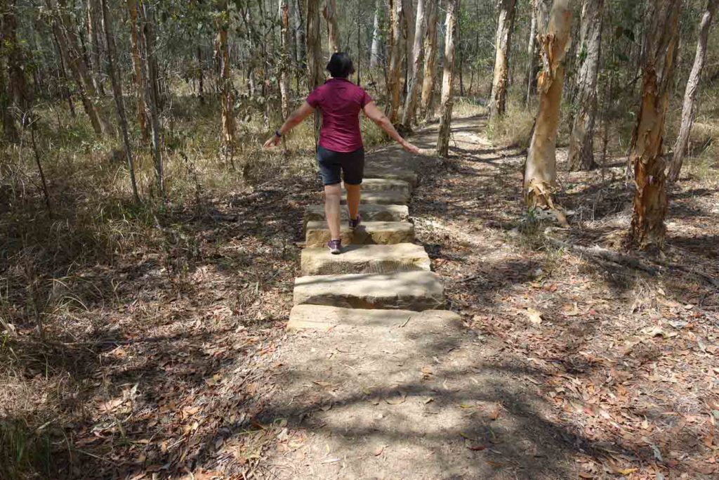
These large stone steppers are placed to pass through areas that get wet during certain times of the year. A more natural option than a bridge
There is very little water on the trail and what there is should be filtered. Best to bring your own
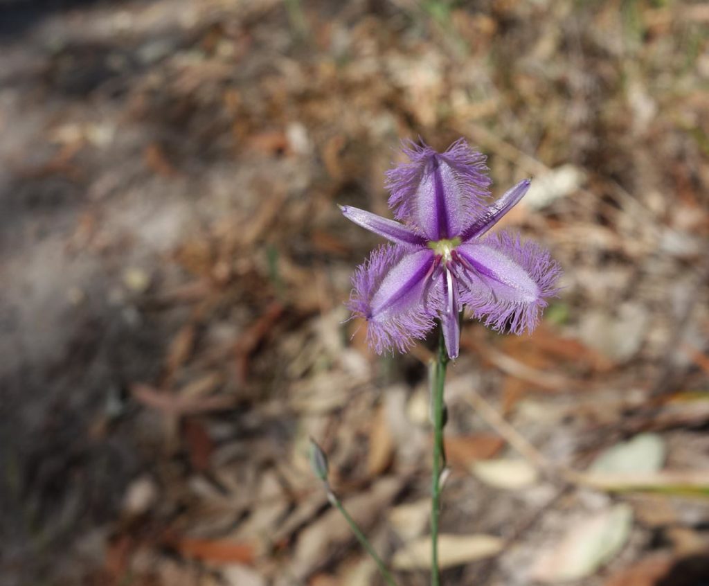
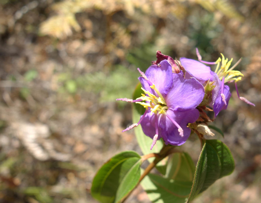
Fringe flowers are one of my favourite little surprises on the trail
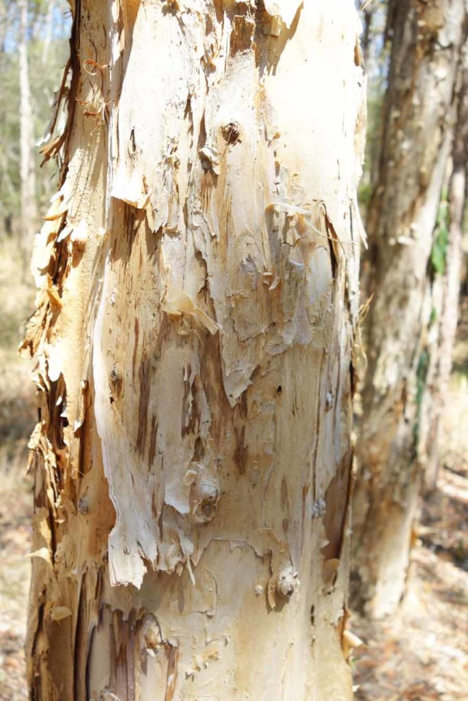
Paperbark
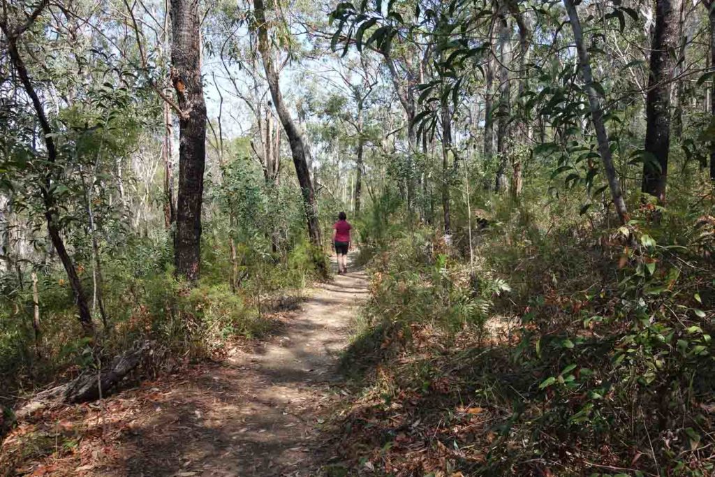
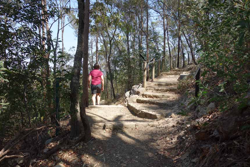
Trail example
Road crossing about 1 km into the trail
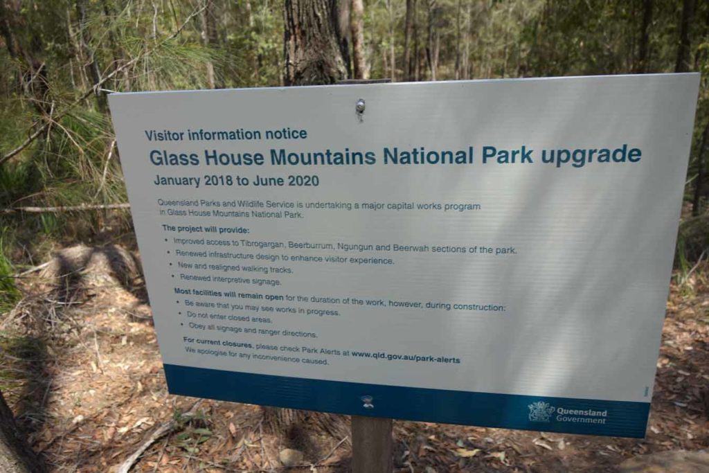
Track upgrade sign explaining what is happening in the area
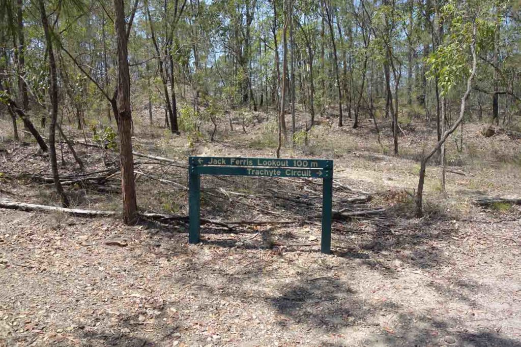
Turn to Jack Ferris Lookout
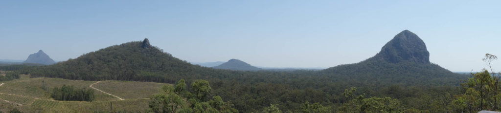
Views form the Jack Ferris Lookout
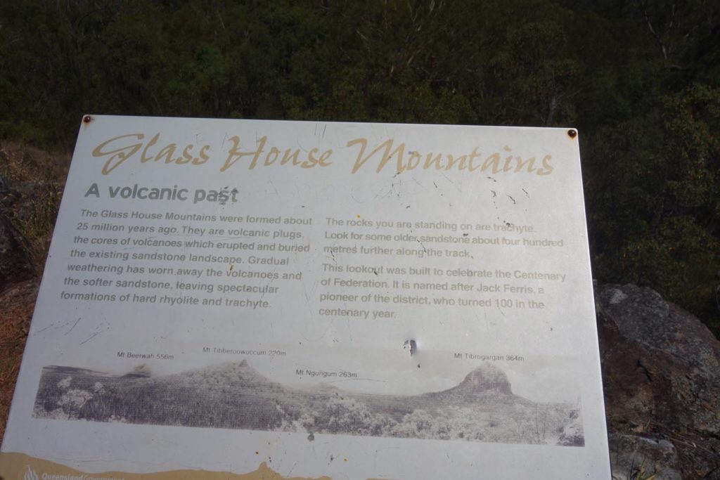
Signage at the Jack Ferris Lookout
Video view from the Jack Ferris Lookout
So pretty
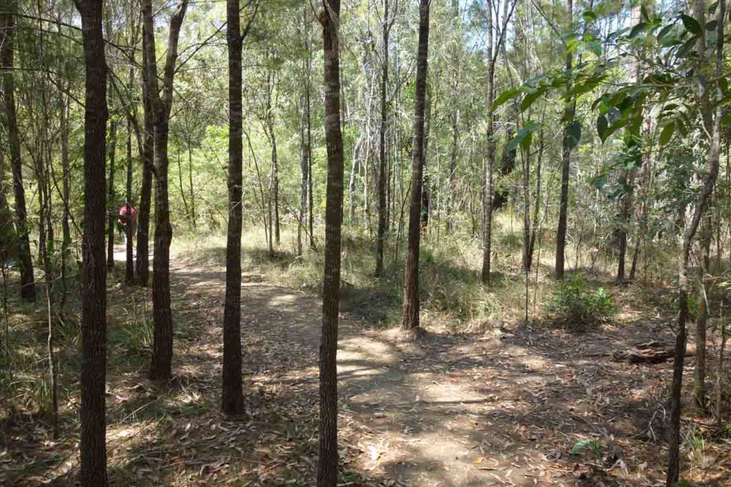
Trail example

Hole in the ground. When I first saw this fenced area about 30 metres off the track I thought it was a gravesite. It was only when I got close I realised it was fencing off a deep hole in the ground
Trail directional signage. There isn’t a lot but what there is provides enough information to easily navigate the trail
Riders versus walkers. Riders follow the road back to the trail head while walkers skirt around the base of Mount Tibrogargan
Looping back to Mount Tibrogargan which is visible over the trees
Skirting around the base of Mount Tibrogargan
Left to return to the trail head on the way back
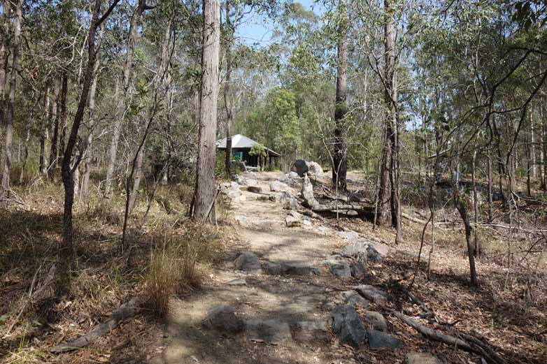
Back to the trail head
Getting There
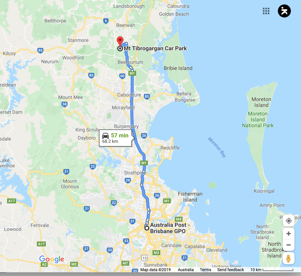
The trail head is around 69 km from the Brisbane GPO so allow about an hour to get there. Head along the Bruce Highway and take the turn off to Steve Irwin Way. There is good signage to the Glasshouse Mountains but we suggest using Google maps to get you to the car park
Car park on the right
Mount Tibrogargan car park
Things to Know
- Phone: There is variable phone signal on this trail (Telstra), but reasonably good
- Water: Bring your own water
- Toilets:There are good toilet facilities at the trail head
- Trail: This walk is on formed trail
- Dogs: Dogs not allowed
- Camping: Camping not allowed on trail
- Other:
- In the hotter months of the year start your walk early to avoid the heat
- Arrive early in the day otherwise you are likely to be parking on the road rather than in the car park
Disclaimer
This walk was undertaken by the team from Australian Hiker