Tibrogargan Circuit QLD (4.2km)
Glasshouse Mountains
Nearest Town
Beerburrum, QLD
Best Time of the Year to Travel
Year round. If you are hiking in the hotter months start early to avoid the heat
Starting Location
Trail heads at the Mount Tibrogargan car park
Finish Location
Trail heads at the Mount Tibrogargan car park
Tibrogargan Circuit Review
Every so often we get to visit Brisbane and as always we try to do at least one or two shorter hikes. Without a doubt some of my favourite walks are located in the Glasshouse Mountains about an hour north of the city centre and they have never disappointed.
On this visit we headed to up to Mount Tibrogargan. There are a number of walks that start at this trail head with the main ones being the Tibrogargan Circuit, the Tibrogargan Summit walk, the Trachyte Circuit, and others. Due to the forecast heat and our fitness level we opted to start off with the Tibrogargan Circuit.
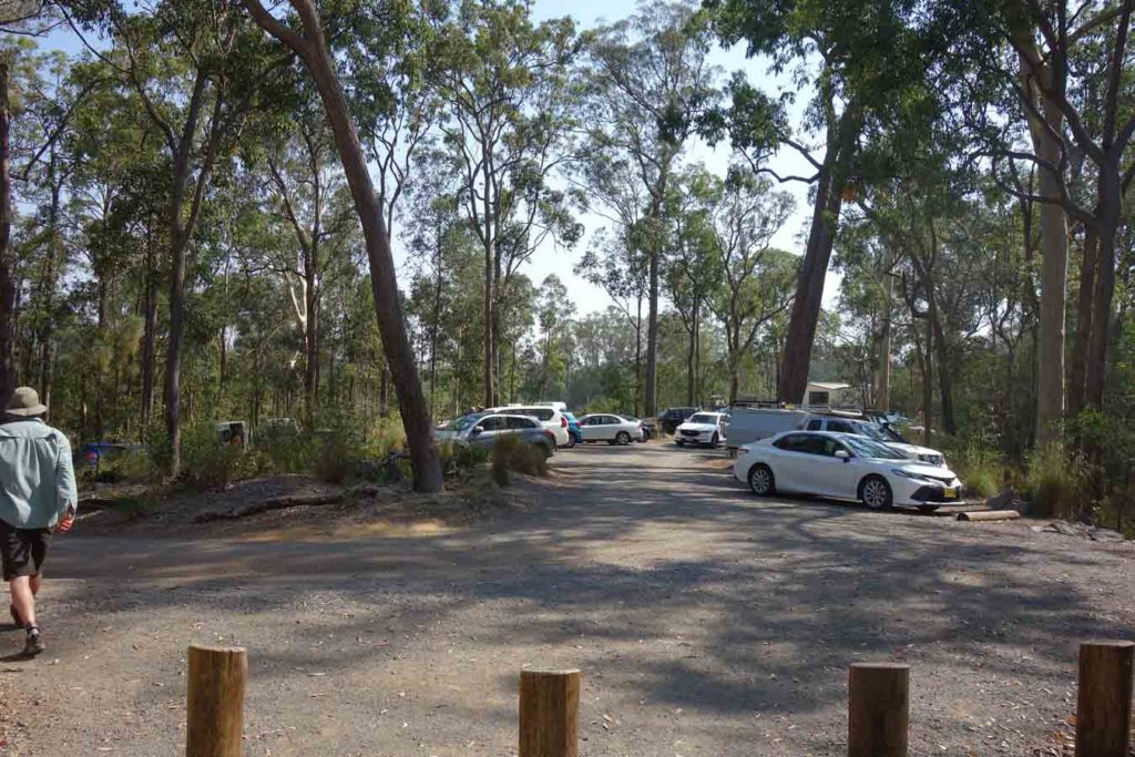
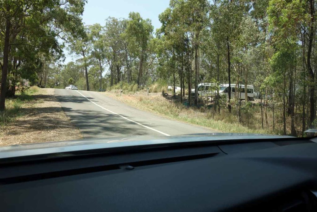
The first thing you need to know is the walks that start from this trail head are popular. We arrived at around 8:00am on Saturday morning and managed to get the last parking space in the car park and even then there were a number of cars parked along the road.
There are good facilities at the trail head with picnic tables and good toilet facilities but having said that many of the tables are quite exposed to the sun.
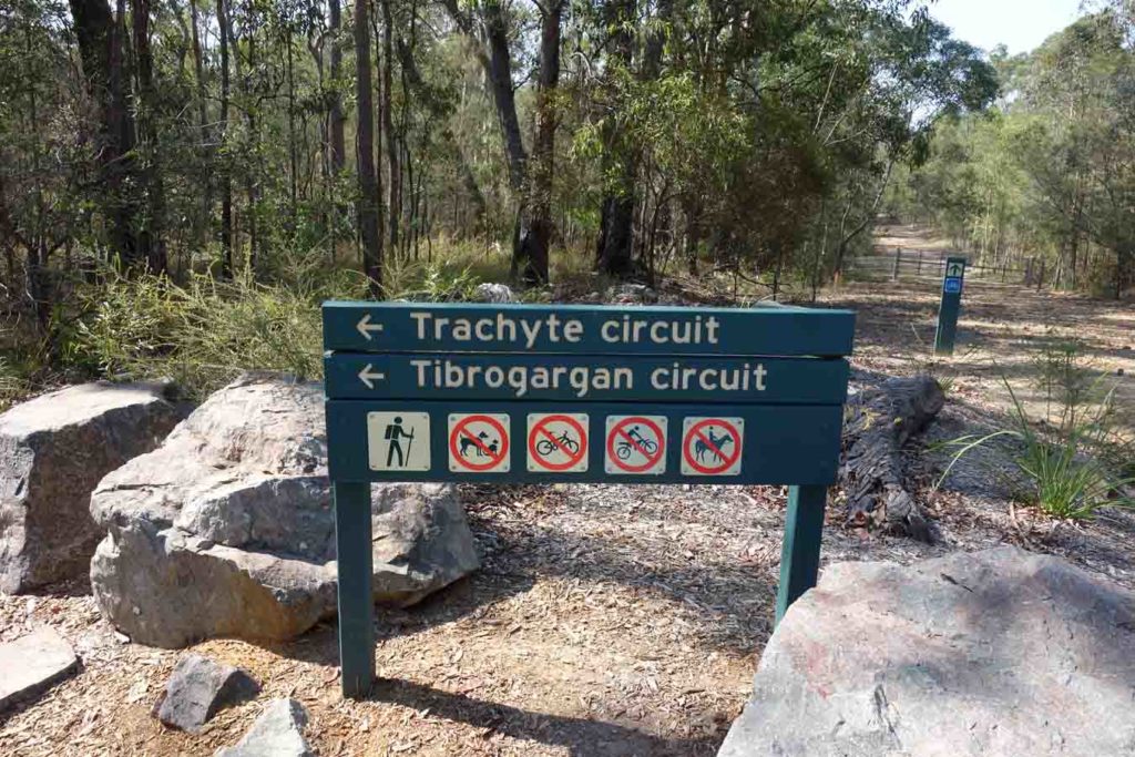
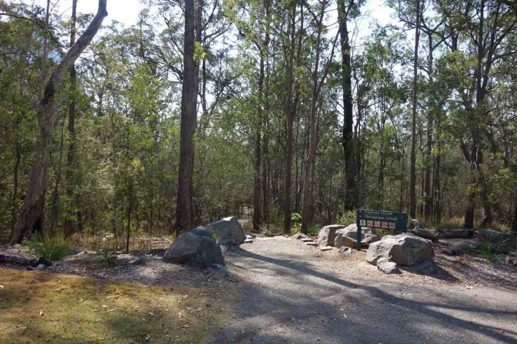
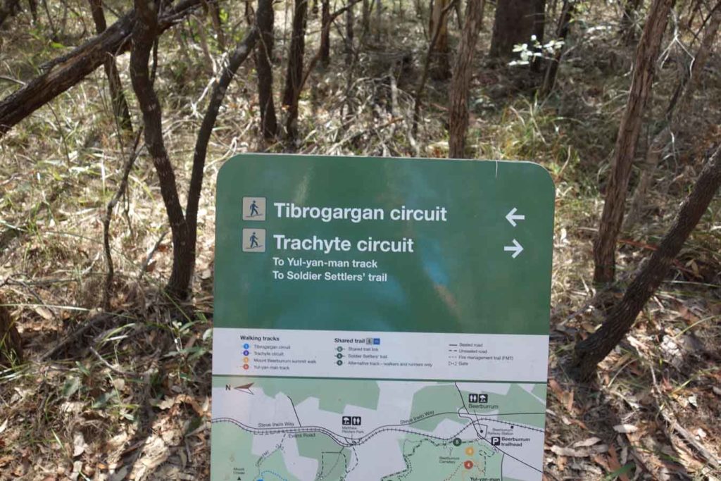
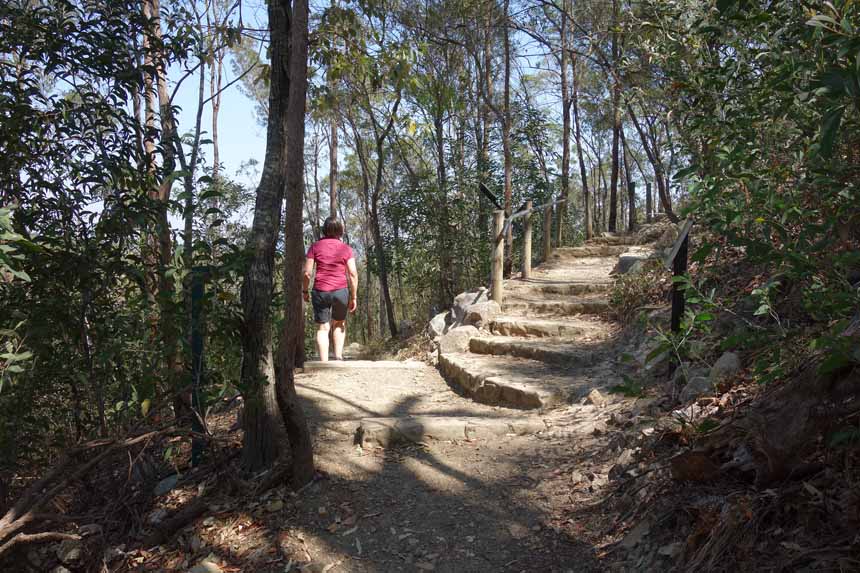
As the name suggests, this walk takes you on a circuit around the large imposing Tibrogargan Summit, and in fact you actually walk straight past the trail that takes you up to the peak. One of the things you first notice with this trail is that the Queensland Parks Service has been doing some upgrades and without doubt the Tibrogargan Circuit is one of the best set up trails I have done in a long time. The trail is widish and flat with minimal trip hazards, and there is seating spread evenly along the trail at key locations where there are views to key sites. There is also decent interpretive signage as well as good directional signage that steers you in the right direction for your chosen walk. The trail signage sends you in a clockwise direction as you approach a decision point on the trail so pay attention when you get a choice.
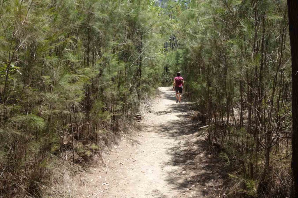
Overall the trail is relatively flat and apart from a section near the start of the walk it’s not an overly difficult walk. We didn’t see a lot of wildlife on our walk with the exception of two goannas that were sitting mid trail and upon hearing us shot off into the bush.
The surrounding bush land is dryish in nature and with every so often the trees open up to views of both Tibrogargen and across the surrounding mountains within the Glasshouse range.
We both enjoyed this walk and the only negative for us as ‘southerners’ was the humidity so ideally do the walk either early in the morning to avoid the heat or do it during the cooler months of the year.
Car park on the right hand side of the road
Mount Tibrogargan car park
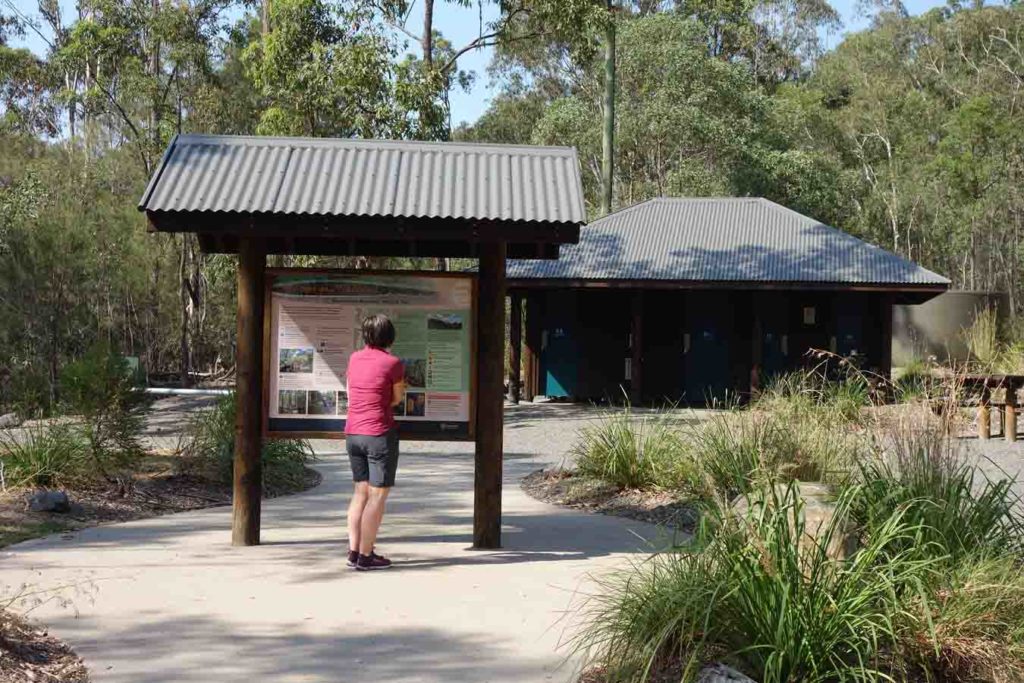
Trail head signage and toilet facilities
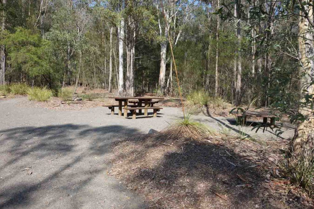
Picnic tables at the trail head

Tibrogargen Circuit information at trail head
Trail signage
Trail head start
Trail example
Left for the Tibrogargan Circuit and right to the Trachyte Trail
Trail signage is very good on this trail

Cross the management road

Mount Tibrogargen. This trail walks around the peak
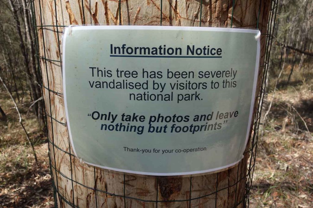
Tree vandalism is rare these days but for some reason people have targeted this tree

Signage and seating

Trail example. In this image the undergrowth is a bit lusher

Direction signage

There is a decision point about 800 metres into the walk. Take the left turn which goes up hill. You will return by the other branch

Steps on the trail

Summit signage. If you want to reach the summit this is the path you follow

Mount Beerwah and Mount Coonowrin in the distance
On the Mount Tibrogargan Circuit
Left to return to the trail head on the way back
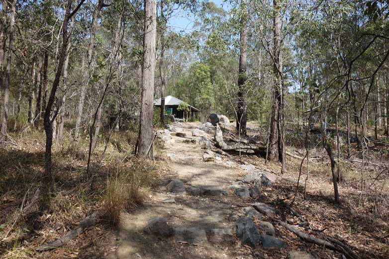
Back to the trail head
Getting There
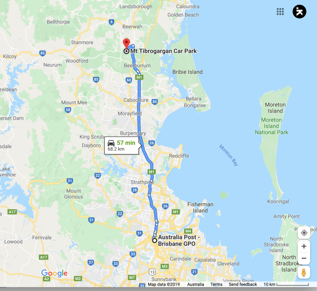
The trail head is around 69 km from the Brisbane GPO so allow about an hour to get there. Head along the Bruce Highway and take the turn off to Steve Irwin Way. There is good signage to the Glasshouse Mountains but we suggest using Google maps to get you to the car park
Car park on the right
Mount Tibrogargan car park
Things to Know
- Phone: Phone signal is variable but reasonably good on much of the track on the Telstra network
- Toilets: There are good toilet facilities at the trail head
- Water: You should bring your own water
- Trail: The trail tread on this walk is narrow single track
- Other:
- In the hotter months of the year start your walk early to avoid the heat
- Arrive early in the day otherwise you are likely to be parking on the road rather than in the car park\
Disclaimer
This walk was undertaken by the team from Australian Hiker