Shepherds Lookout ACT (1.3km)
Canberra Nature Reserve
Nearest Town
Holt, ACT
Starting Location
Stockdill Drive car park Holt, ACT
Finish Location
Stockdill Drive car park Holt, ACT
Best time of the year to walk
Year round
Shepherds Lookout Walk Review
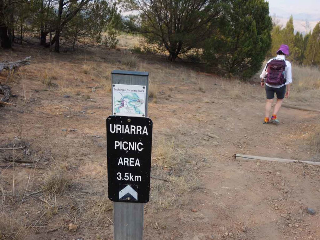
Canberra is still a relatively young city so new trails are being developed on a regular basis and old ones that were almost forgotten, are becoming popular again. One of these walks, is the Shepherds Lookout Walk that can be accessed via three different walks. The 7.3 km Link to Shepherds Lookout walk, the 9.1 km Uriarra Loop Shepherds Lookout Walk, and the 1.3 km standalone Shepherds Lookout Walk.
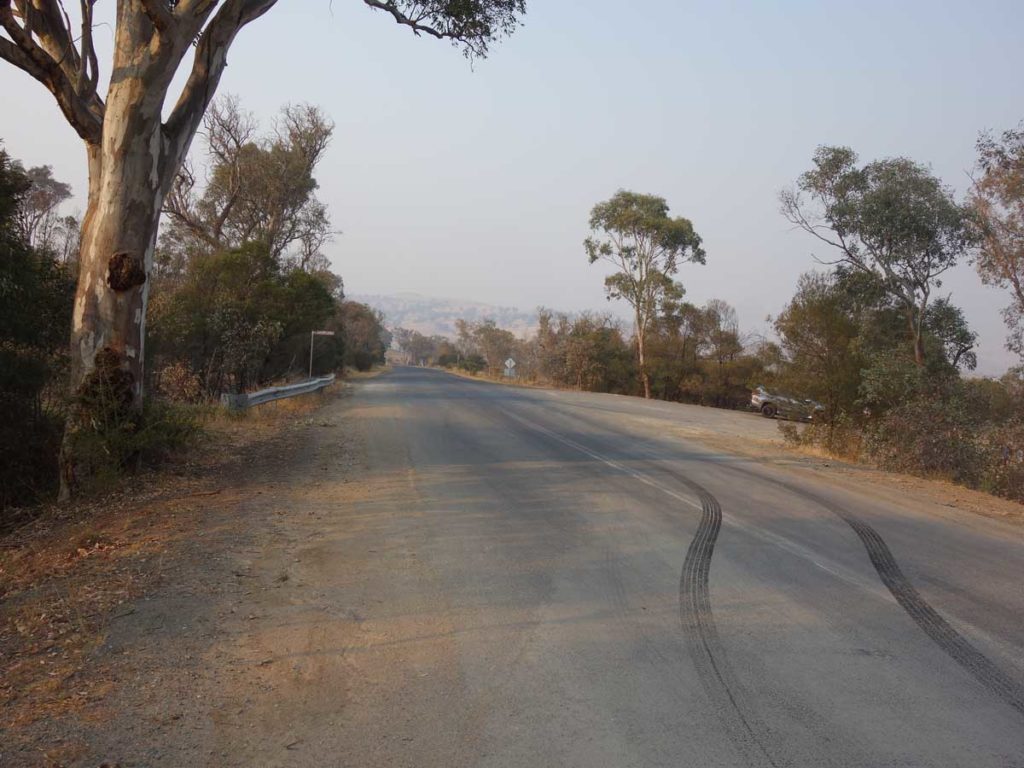
As a standalone walk you start at the car park located on Stockdill Drive. This car park isn’t huge but if you arrive late and its full there is plenty of parking options along the road. This track is pretty easy to navigate and is a 650 metre straight line walk down to the lookout. On the return trip you can walk back the way you came or take the track on the right which loops left back to the main trail. The track on the right also provides the option to turn right onto the longer 9.1 km Uriarra Loop Shepherds Lookout Walk.
This is one of those trails that’s all about the destination with the lookout (a metal trail platform) located on the edge of a steep section of hillside giving you views straight ahead to the Murrumbidgee River over the surrounding landscape. To the left of the platform you can see where the Murrumbidgee and Molonglo Rivers meet.
This is by no means a spectacular walk but the views down to the rivers below are good and it’s a walk that is easily accessible to everyone.
Turn off onto Stockdill Drive
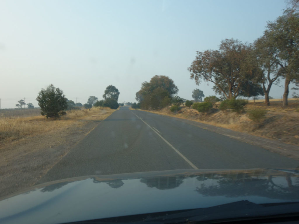
Stockdill Drive
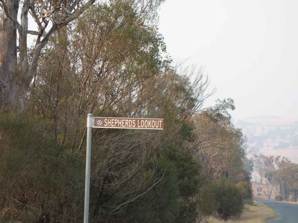
Shepherds Lookout sign. Keep an eye out for this sign – that’s where you’ll park the car
Stockdill Drive car park
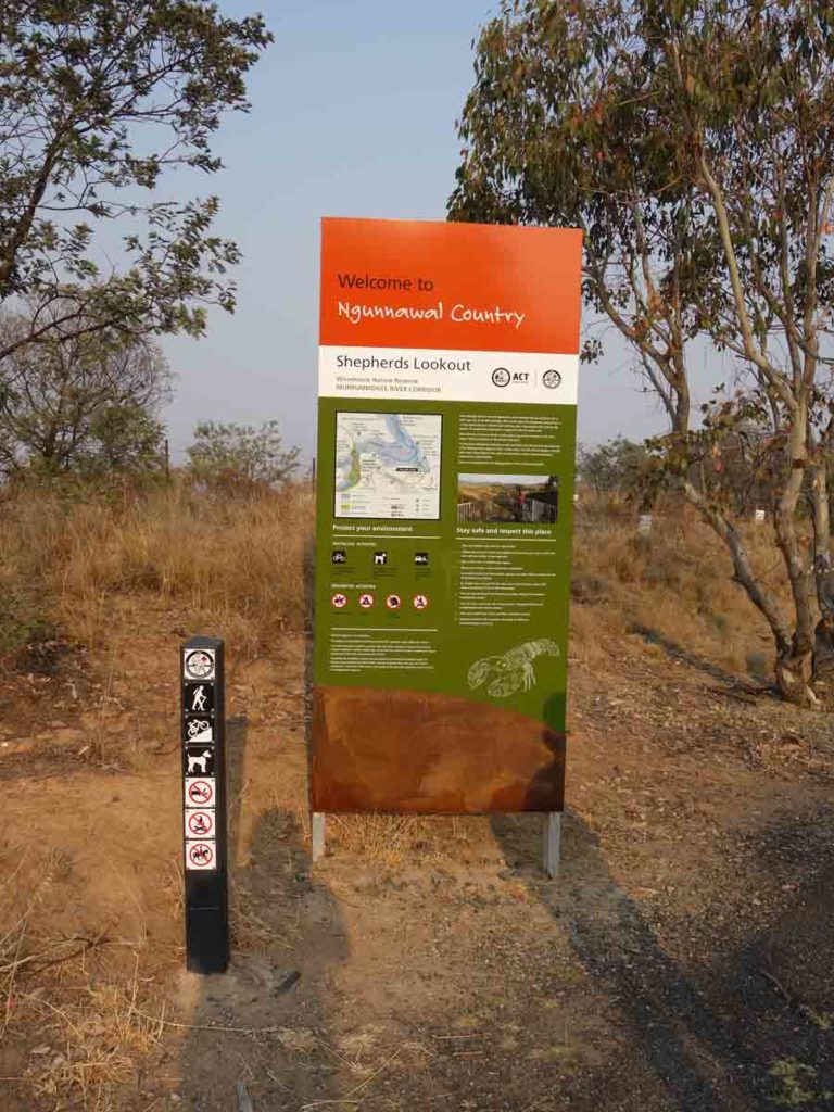
Trailhead signage
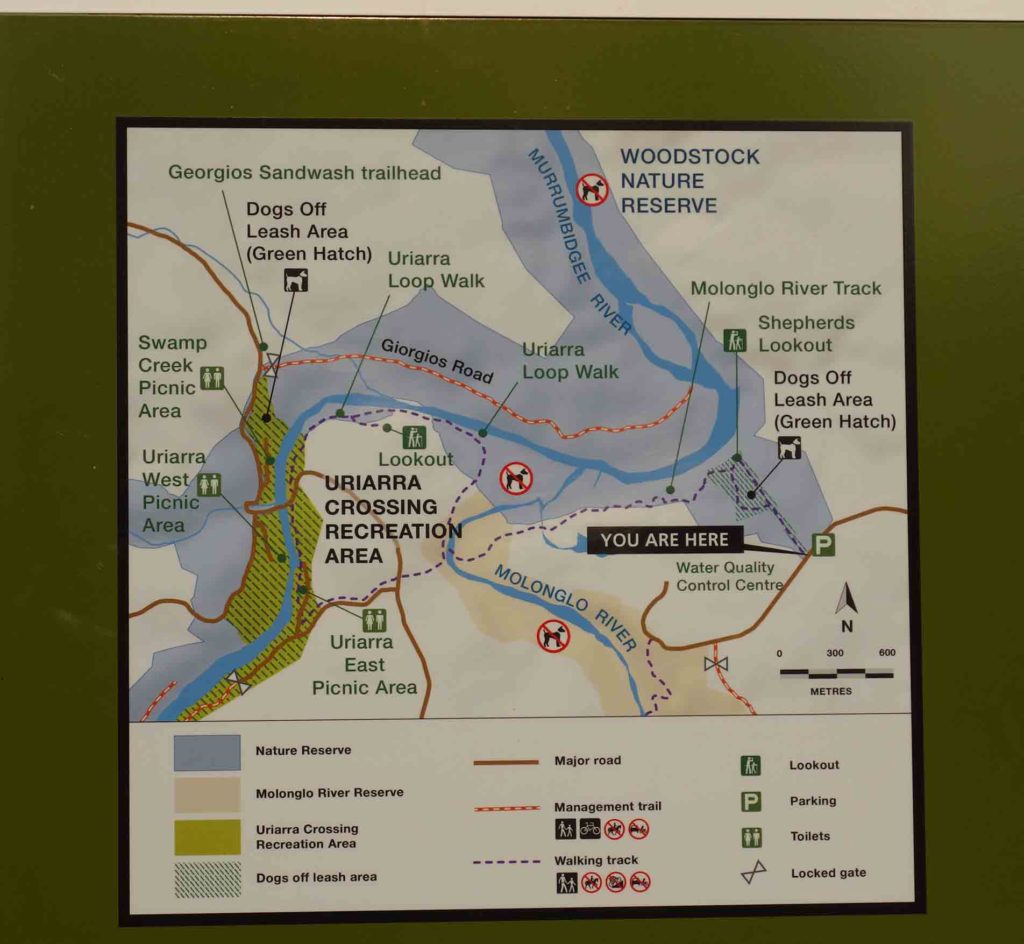
Map at the trailhead. It’s a good idea to take a photo and use this as a guide on the trail just in case
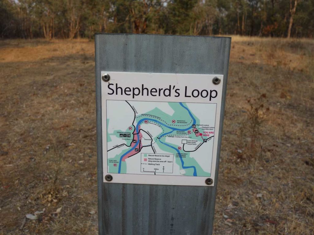
Trail signage example
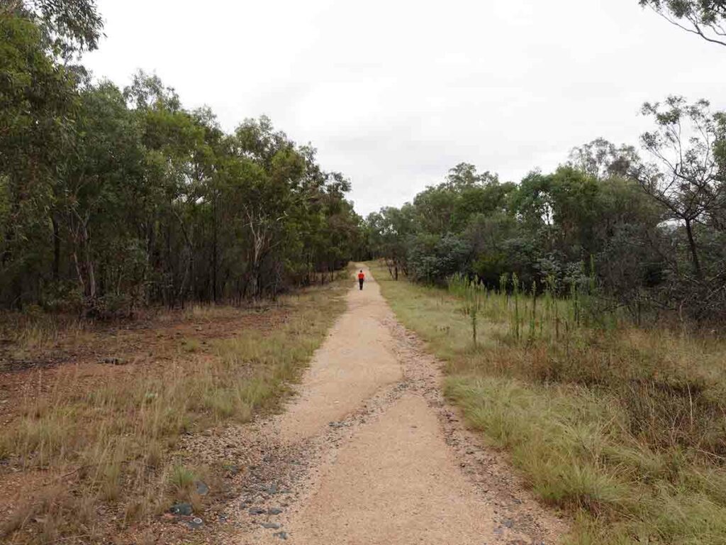
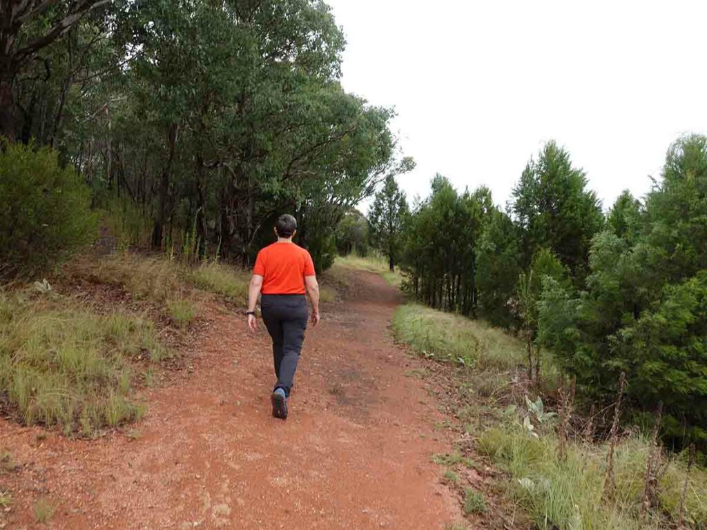
The trail to Shepherds Lookout
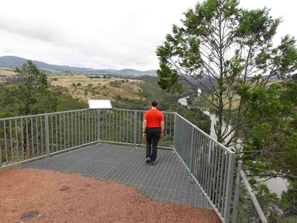
Shepherds Lookout viewing platform
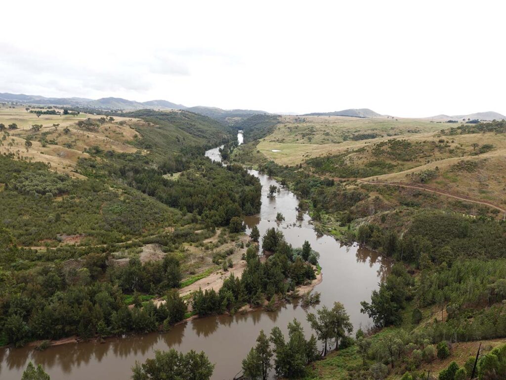
Murrumbidgee River as viewed from Shepherds Lookout
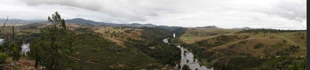
Panorama view at Shepherds Lookout
Take the loop track about 80 metres and follow the signage – keep left to get back to the return trail. The right turn to the Uriarra Loop is a much longer trail
Loop back from Shepherds Lookout
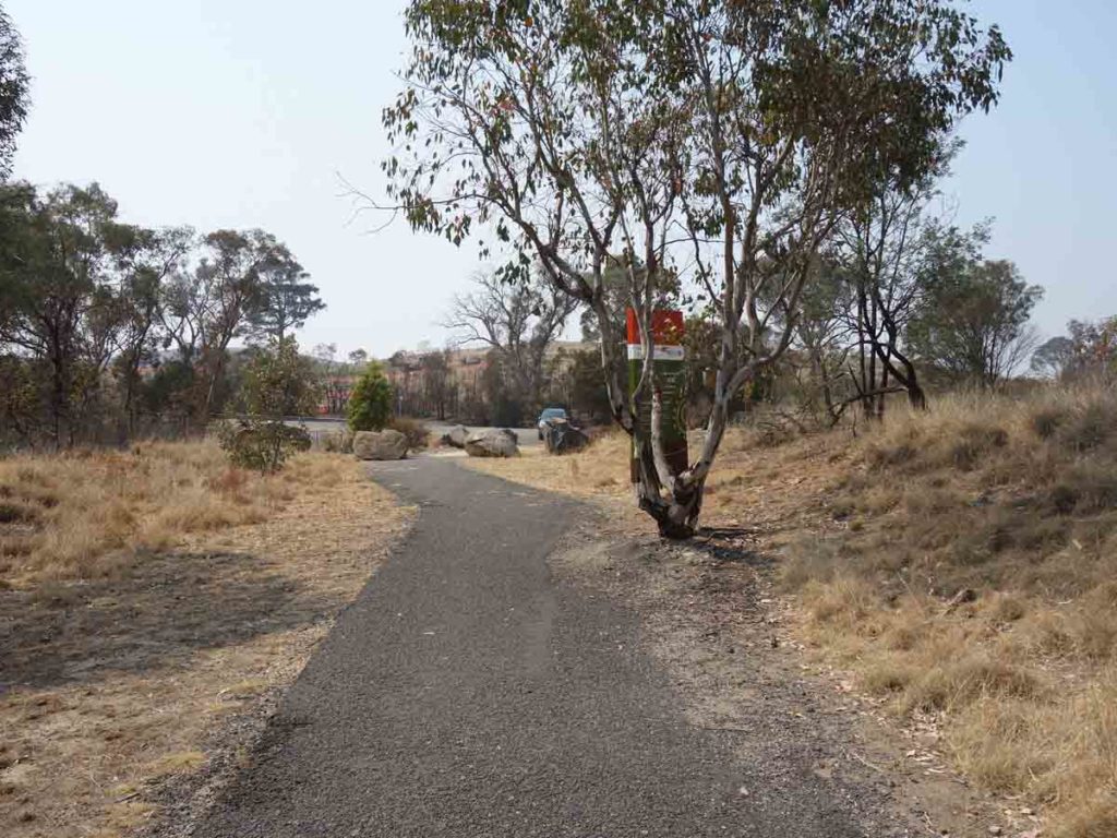
Approaching the car park
Trail video
This short video contains photos and videos to show you the walk from start to finish
Getting There
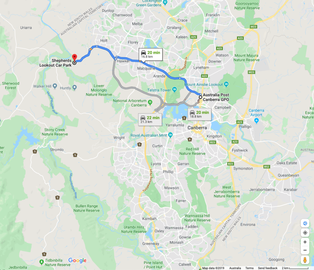
Google map showing the distance from the Canberra GPO to the trailhead. This walk is 17 km from the Canberra GPO and will take around 20 minutes to reach from the city centre
Turn off onto Stockdill Drive
Shepherds Lookout sign. This small car park will fit about 6-8 cars
Stockdill Drive car park
Things to Know
- Phone: There is excellent phone coverage on this trail (Telstra)
- Water: You need to bring your own water
- Toilets: There are no toilets on this trail
- Trail: This trail consists of formed track
- Dogs: Allowed on a leash
- Other:
- This walk is an out and back experience
Disclaimer
This walk was undertaken by the team from Australian Hiker