Queanbeyan River Loop Walk NSW (18.9 km)
Nature reserve
Nearest Town
Queanbeyan
Starting Location
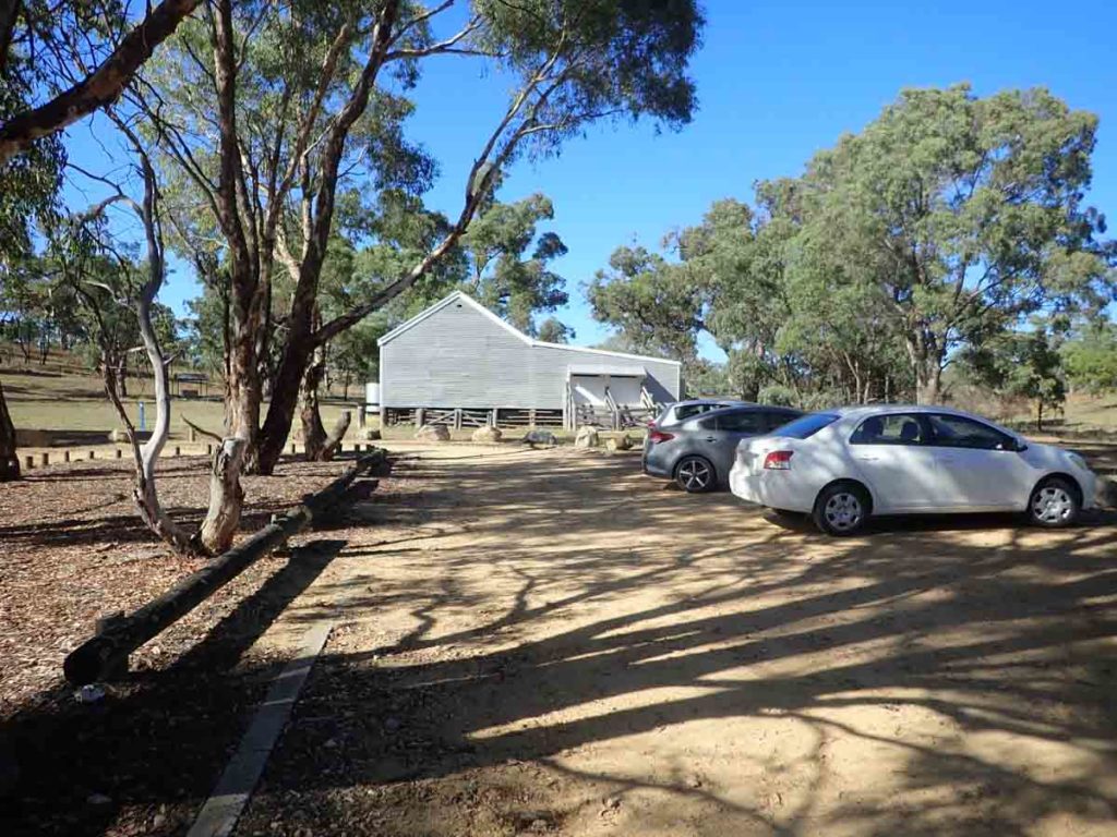
London Bridge Woolshed car park
Finish Location
London Bridge Woolshed car park
Best Time to Travel
Year round although if you plan on doing this walk you need to pay attention to the river level
Queanbeyan River Loop Walk Summary
When Gill and I started this walk it was with the intent of doing the Queanbeyan River Walk (18 km) which is only slightly shorter in length but doesn’t actually cross the river at any stage. We had a copy of the Googong walking track brochure with us and in all honesty we were a bit confused about this walk so we did what we thought was the obvious thing and crossed the Queanbeyan River on two occasions. By the time we finished the second crossing we realised what we had done was the Quenabyean River Loop Ride/Walk – in all honesty it made sense in the long run and we’ll explain why in this review.
This walk starts from the London Bridge carpark which is also the starting point for the Dhurrawarri Buranya Walk and the London Bridge Walk so depending on your stamina and time availability, you have a number of choices.
Start the walk by walking over the London Bridge then follow the signage along the management road. You will hit a ‘T’ intersection which if you turn left will take you on the Dhurrawarri Buranya Walk but to do this walk you will turn right. Continue on this road and you will come to the first of the river crossings which is Gelignite Crossing on the left. When we got to this point it just made sense to cross at this point and to do this walk as a loop. Crossing at Gelignite required us to hop our way across strategically placed rocks so we managed to keep our feet dry.
Doing this walk in this manner extends your walk by 900 metres because you are now doing the Queanbeyan River Loop Walk. In all honesty this is now our favourite walk in this area so we are glad we chose this option. It has very different bushland to anything else in either the Googong or ACT area and provides a sense of remoteness that is unique in Googong. The downside of this walk is that it is by far the most difficult walk in the area and one of the hardest walks in the Canberra region. Apart from the walk length, there are a lots of ups and downs on the management road that forms this trail.
Half way round we were thinking it was really strange we hadn’t seen any wildlife and not long after we came across three wild goats that shot off when they saw us followed shortly after by a largish wombat out in the middle of the day having a feed. Again we got within about 30 metres of it and it very quickly ran way into the adjacent bushland. While I have come across wombats between dusk and dawn I have never come across one in full daylight before.
When we hit Flynns Crossing we picked a location that allowed us to do a water crossing of the Queanbeyan River without getting our feet wet – it did involve some creative ballet moves. Once over the river we were back on management road and on our way back to the start point.
Now whether you choose to do the Queanbeyan River Walk our the Queanbeyan River Loop Walk/Ride really comes down to the water level in the river. If there has been heavy rain and/or the river is flowing high and fast, I wouldn’t do any river crossings. So if you get to Gelignite Crossing and it looks to be a difficult cross, then don’t cross and return instead return to the main road. If you can comfortably do the crossing at Gelignite, then the Flynns crossing may also be manageable but not gurantaeed. Doing this walk as a loop makes for a much more interesting walk by minimising trail repetition but it also means its a harder walk.
As mentioned, this is now our favourite walk in Googong area but boy its a hard one so don’t attempt this unless you are fit. If you are fit, allow at least a minimum of five hours.
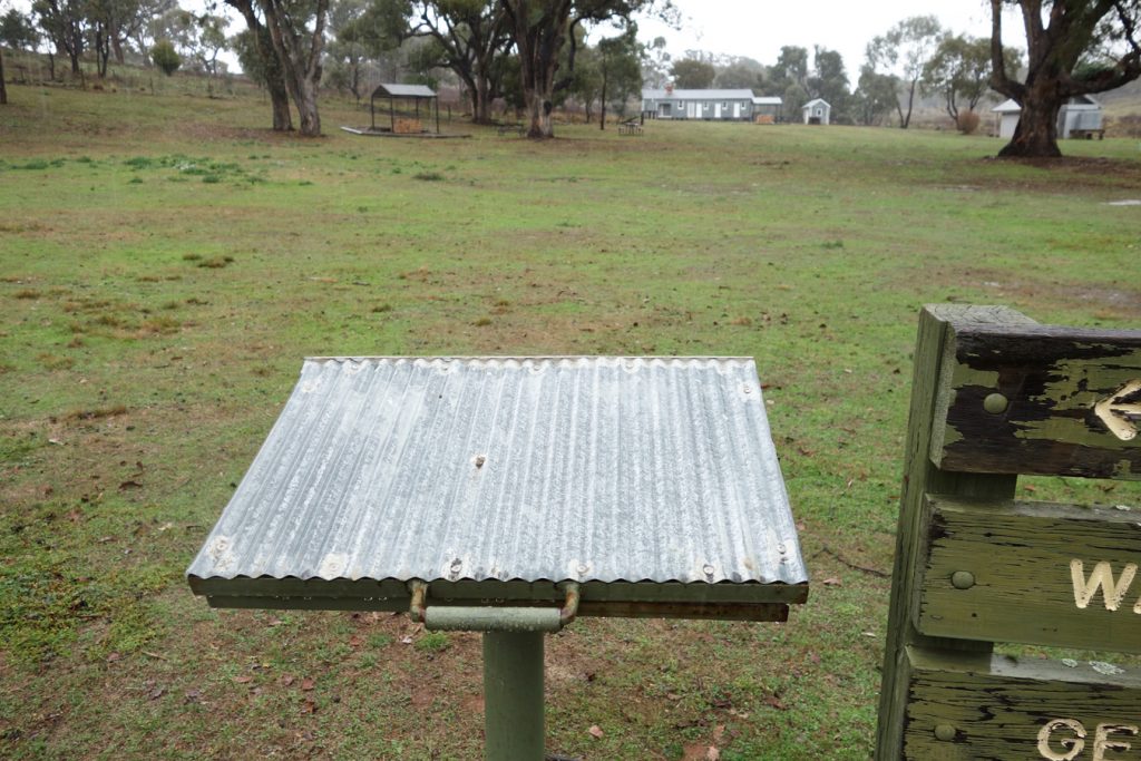
Trail register. The starting point for this walk is at the woodshed. The area has gas barbecues, small shelters and toilet facillties. Great for a barbecue lunch at the end of the walk
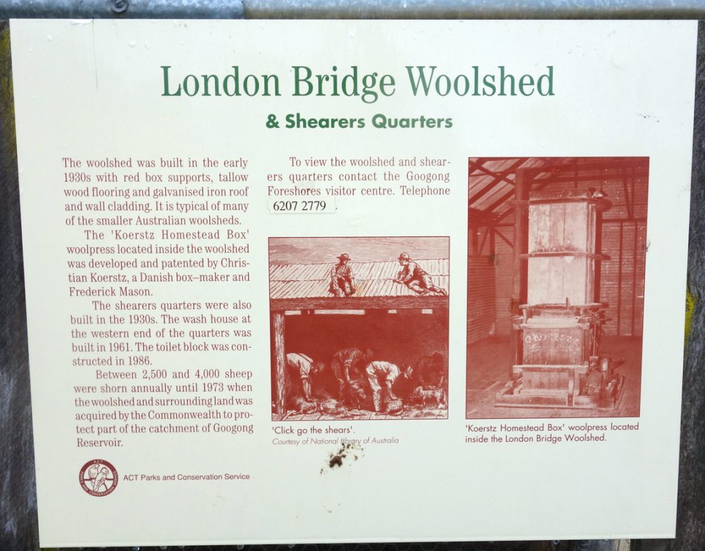
An example of the interpretive signage at the Woolshed
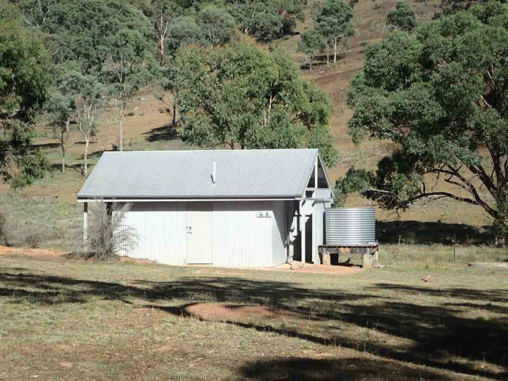
Toilet facilities at the trail head
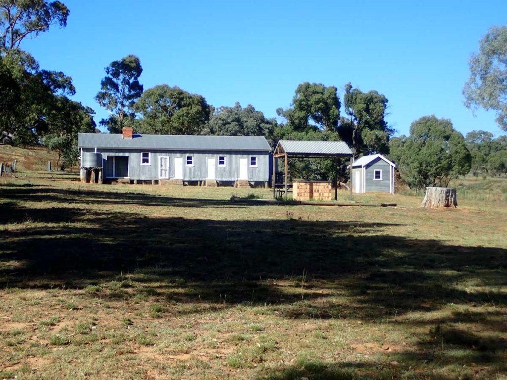
Shearers quarters and barbecue facilities at the trail head
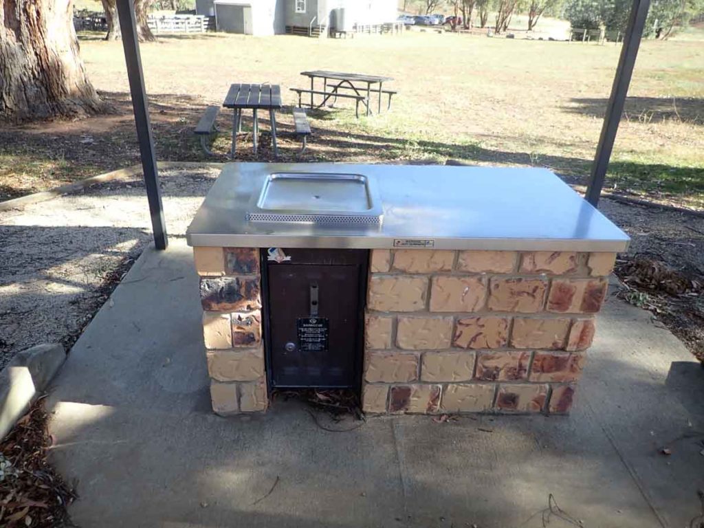
Close up of gas barbecue at the trail head. There are two barbecue shelters in this area and both have a couple of tables for the family
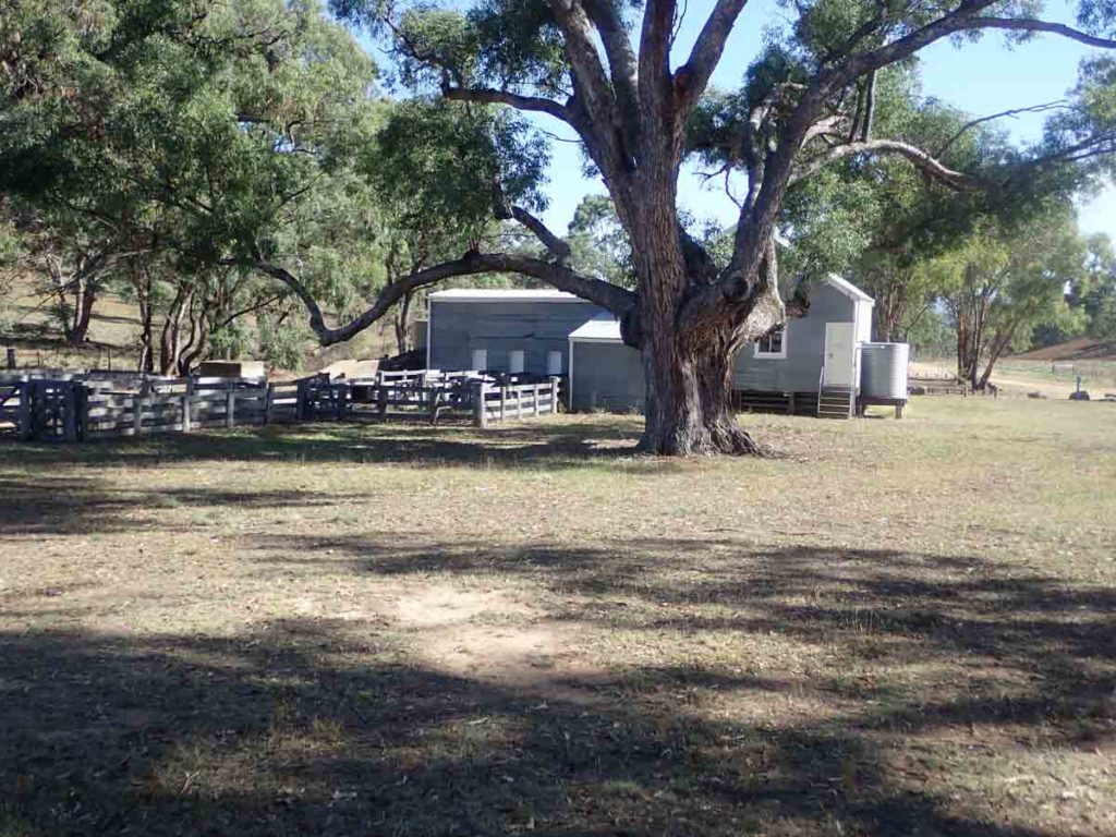
Woolshed
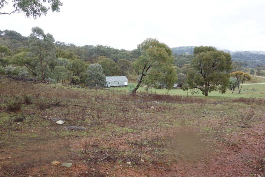
Looking back from the trail after starting and finishing the walk
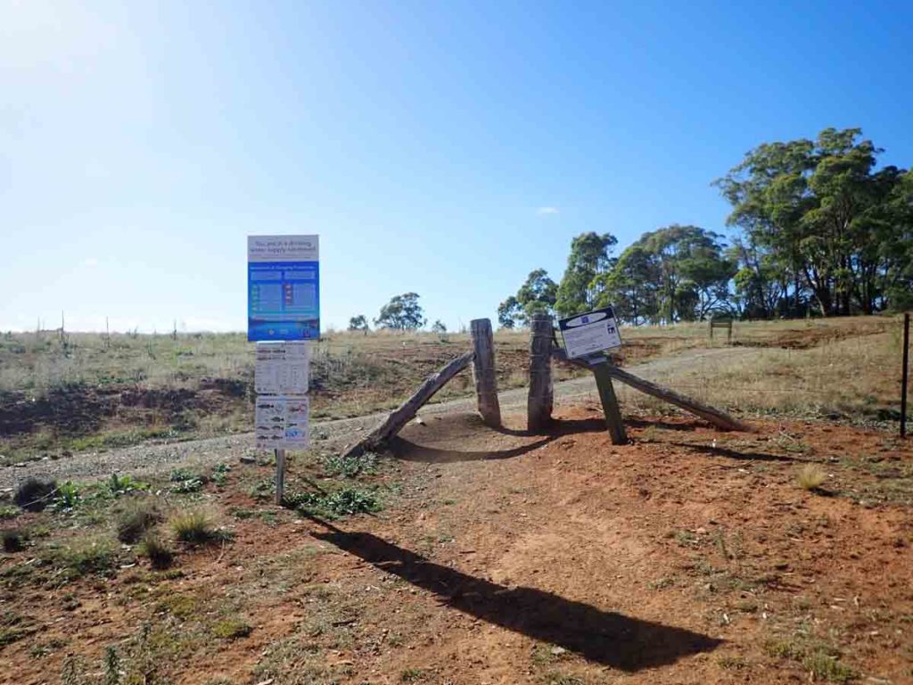
Leaving the trail head paddock
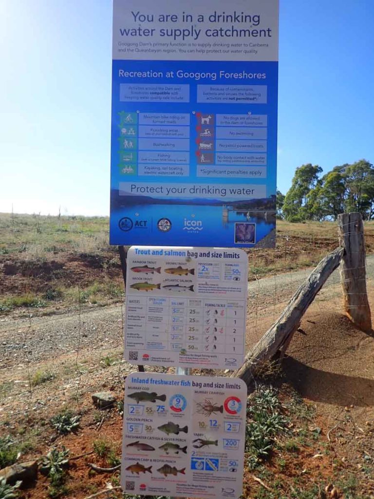
Do’s and don’ts on the trail
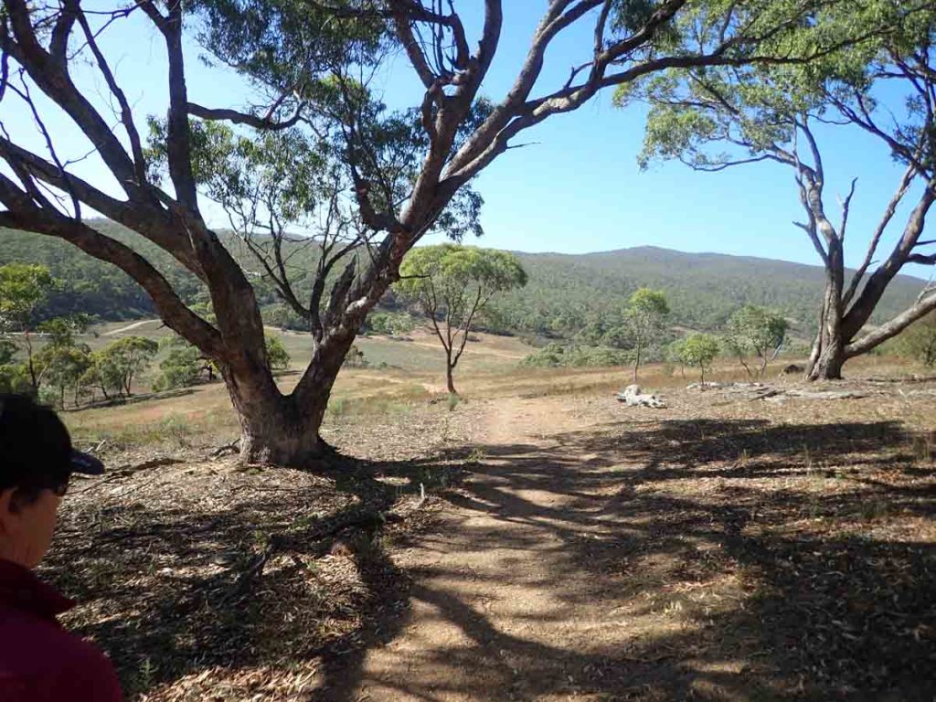
Heading down to London Bridge
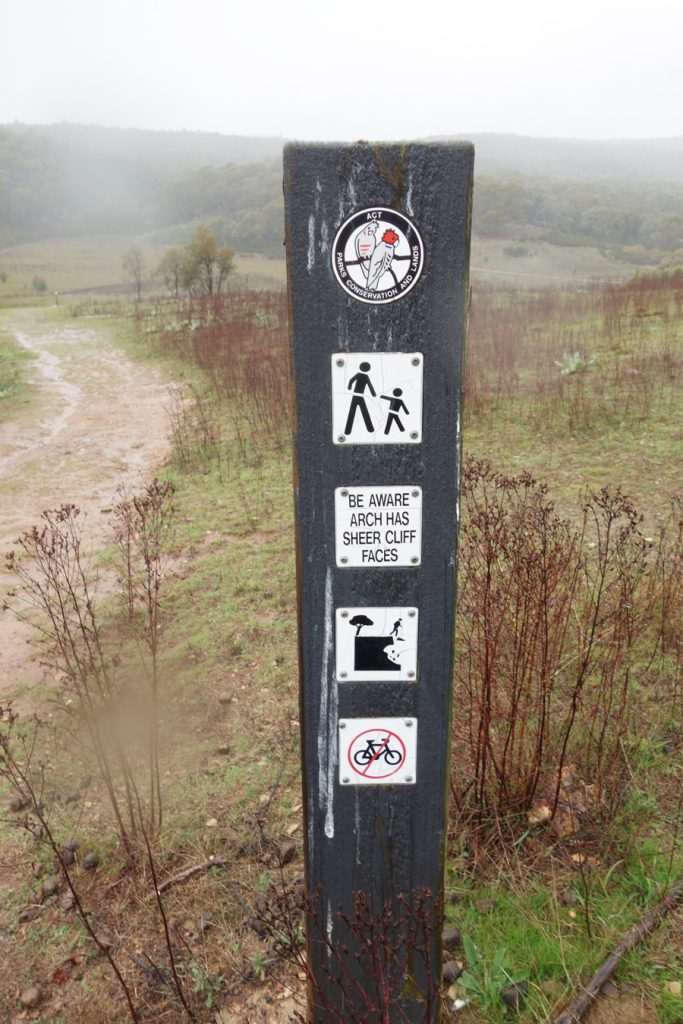
Cliff warning sign
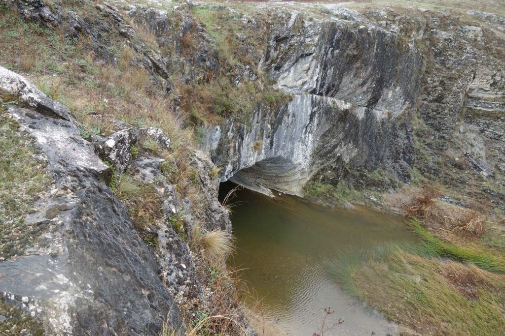
The Arch looking down from the cliff top. Keep away from the edge as it is unstable
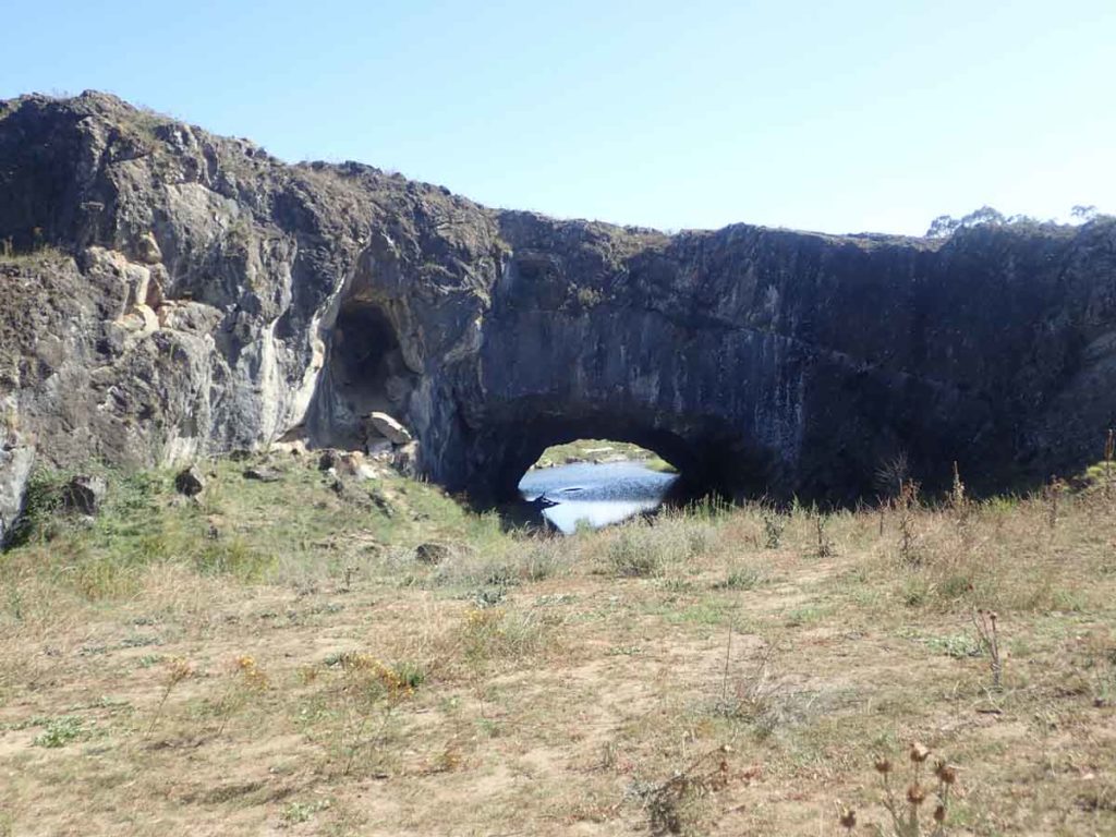
The London Bridge Arch. This Arch is one of the most recognisable features in the Canberra region but one that most locals have never seen
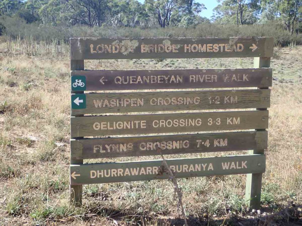
There is good signage on most of the trail
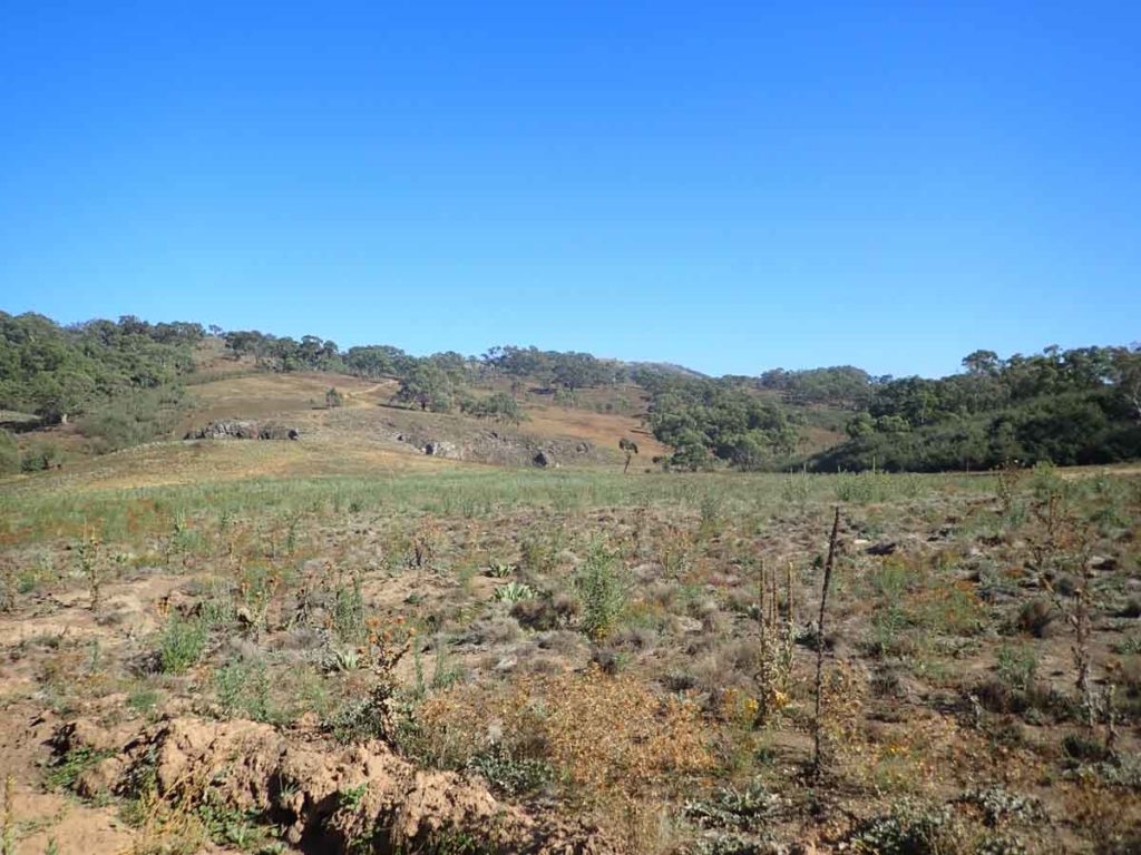
Looking back at the top of London Bridge
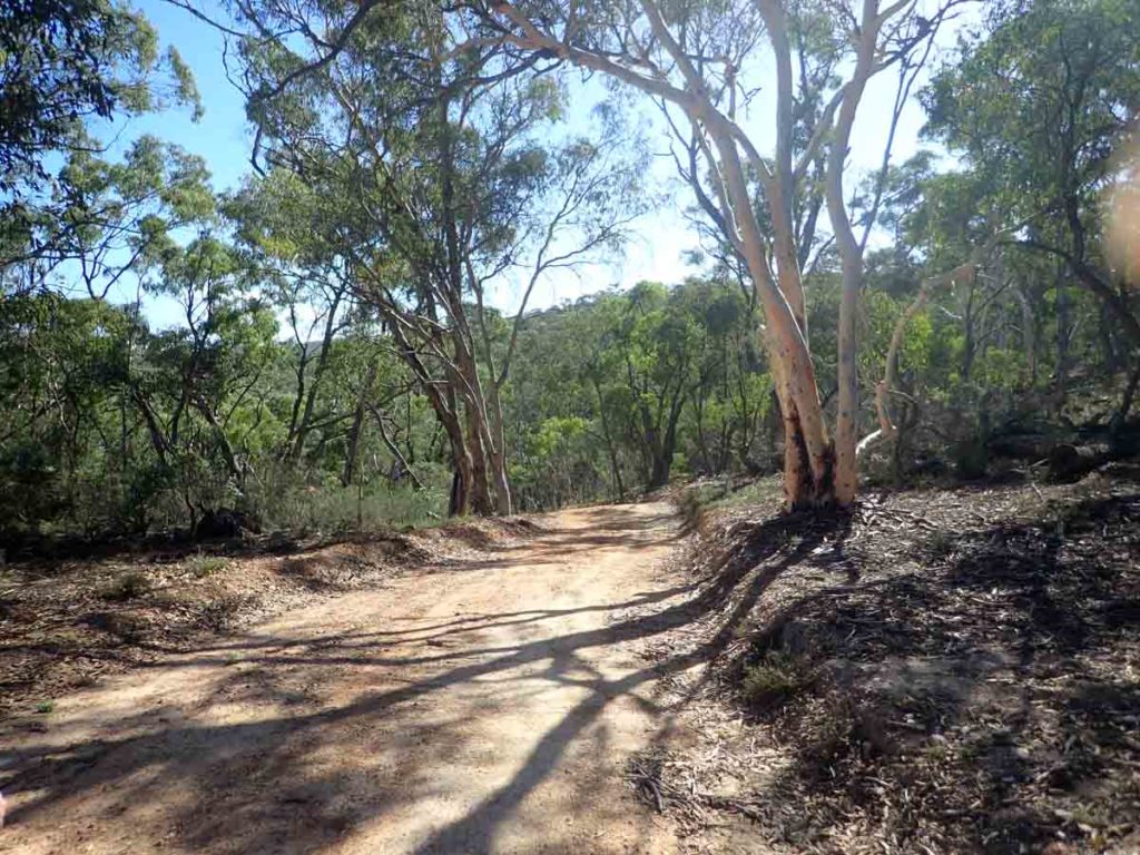
Forested road on the middle of the trail
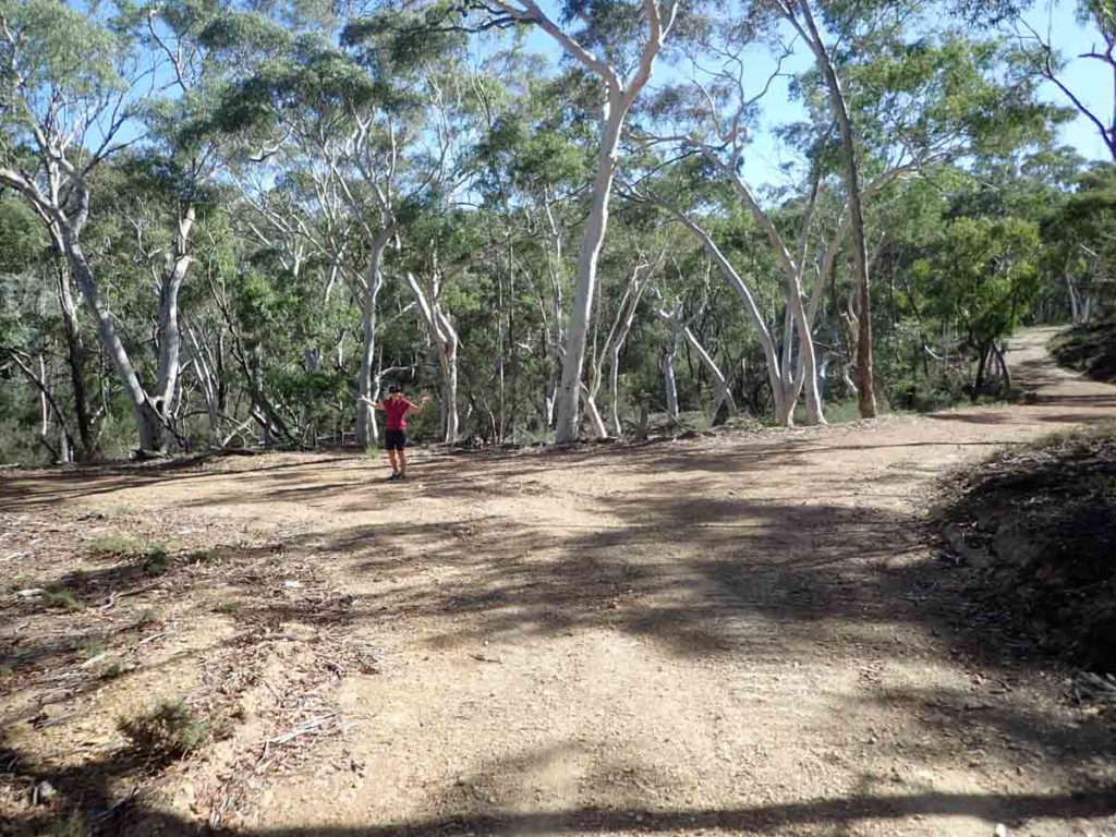
As you walk along the management trail keep to the right
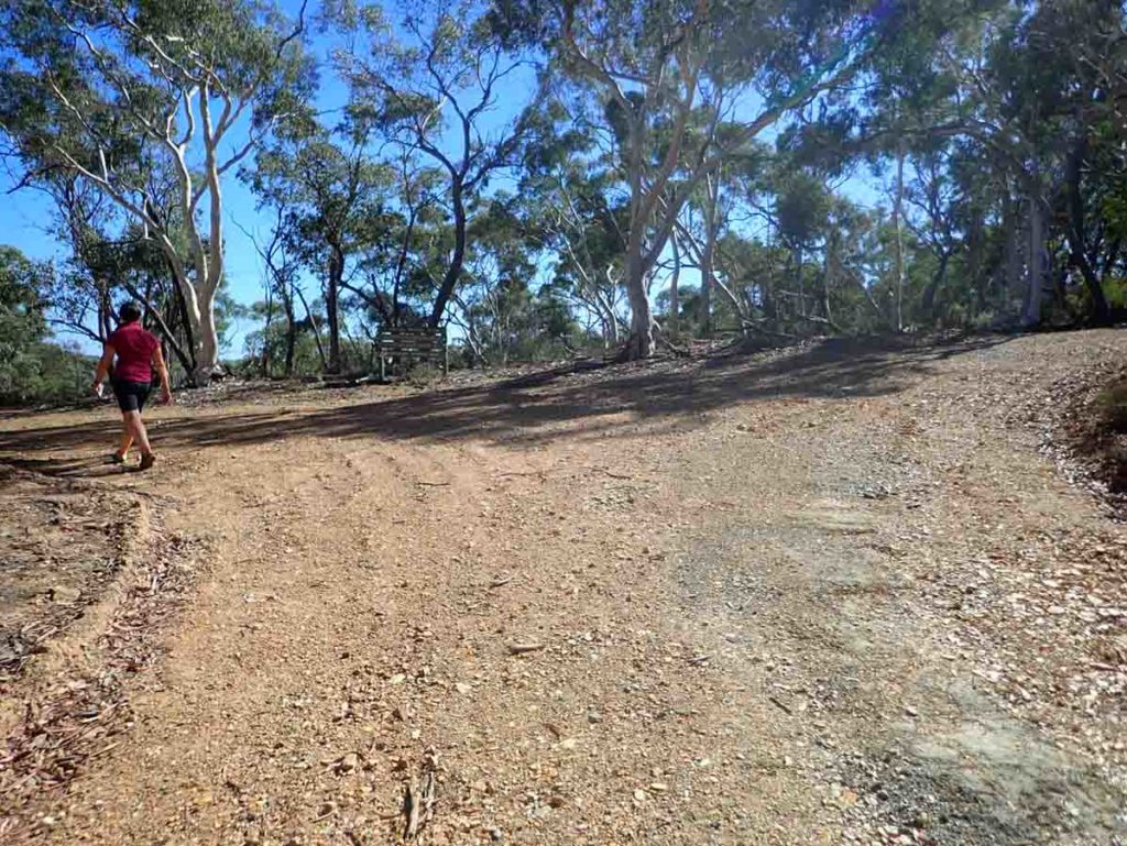
If you head left at this point you are doing the Dhurrawarri Buranya Walk. Turn right on this walk
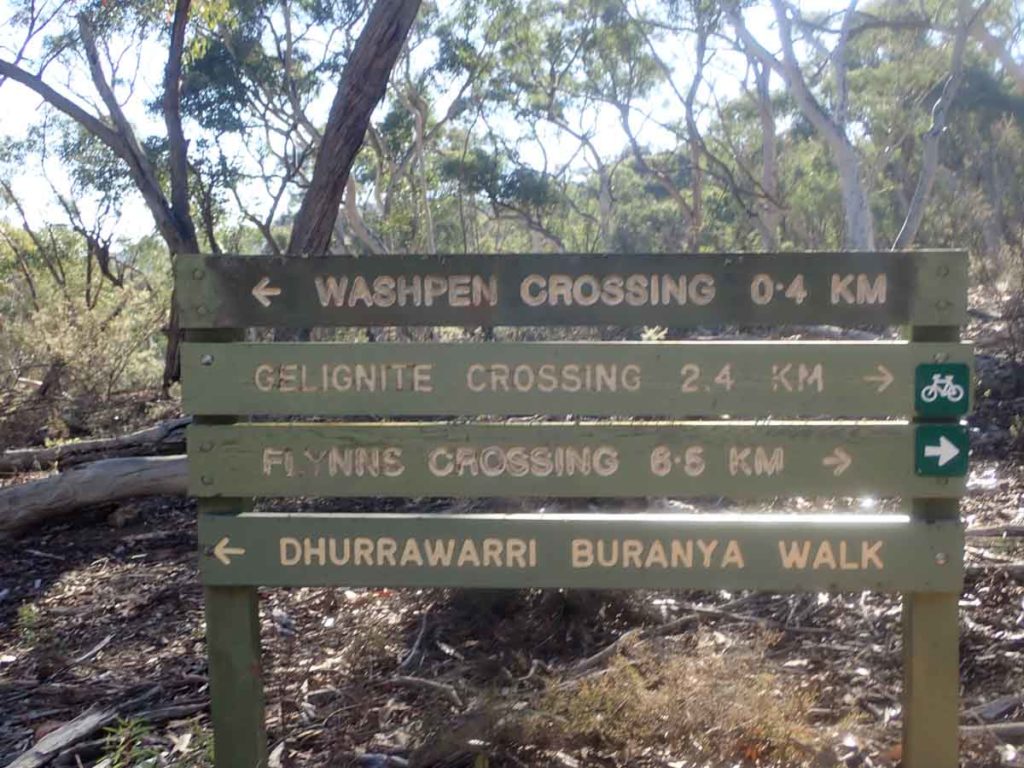
Trail signage at the ‘T’ intersection. Turn right here
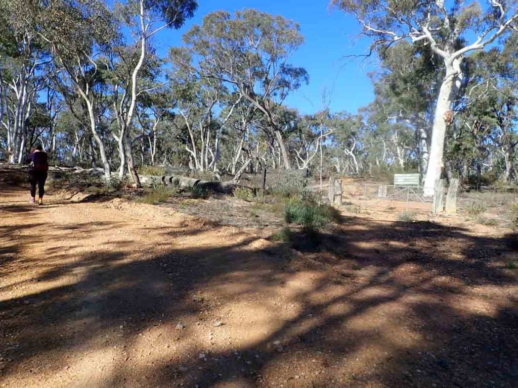
Keep to the main management track
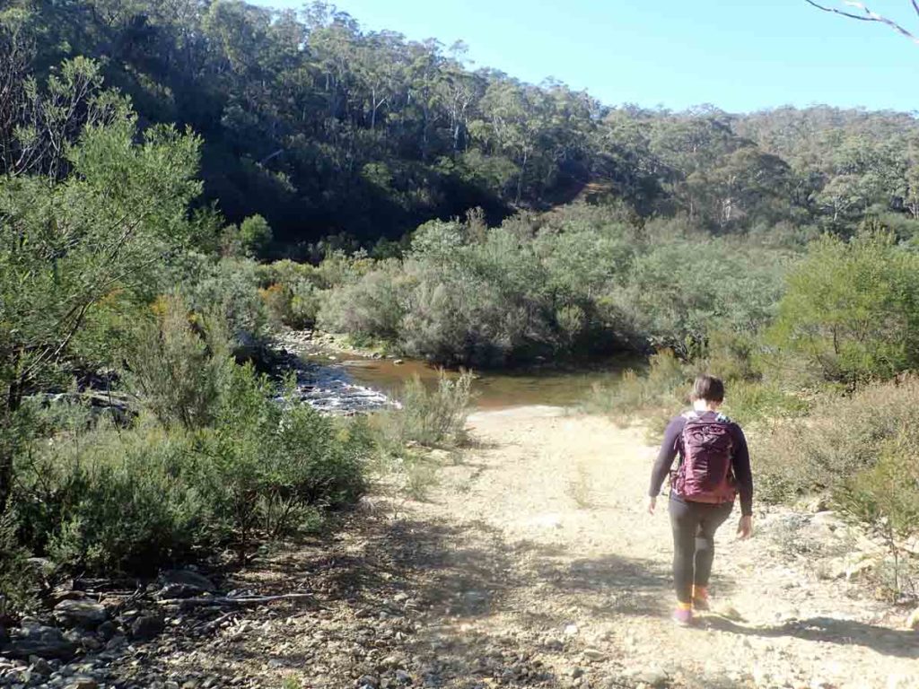
Gelignite Crossing
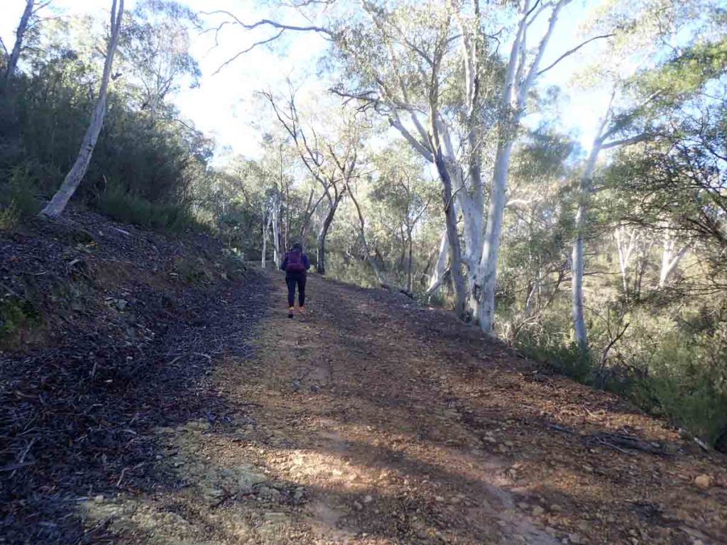
Lots of hills on this back end of the trail
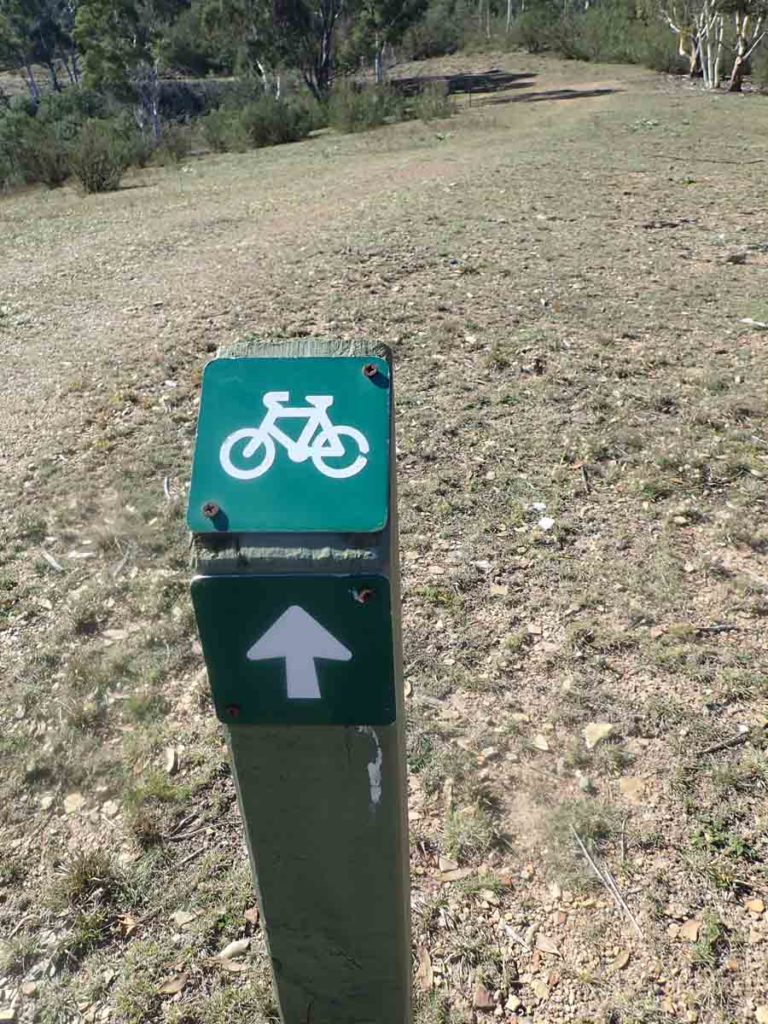
This sign was at the top of the trail before starting the return journey and if you do this walk in a clockwise direction its almost invisible
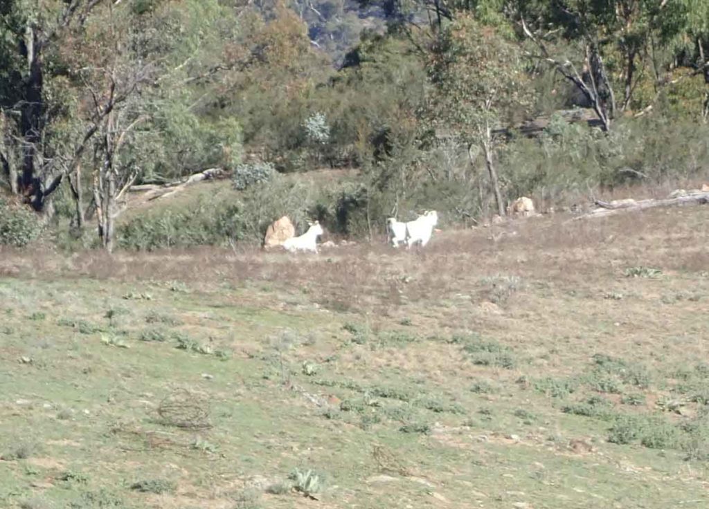
Wild goats
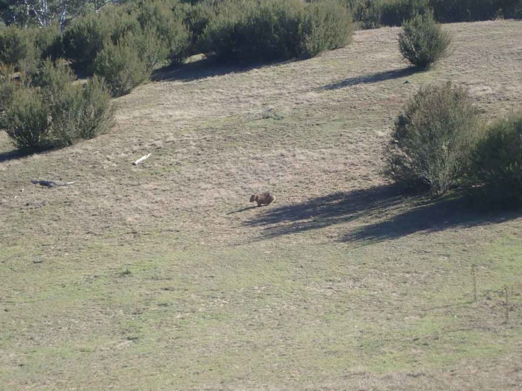
Wombat out and about
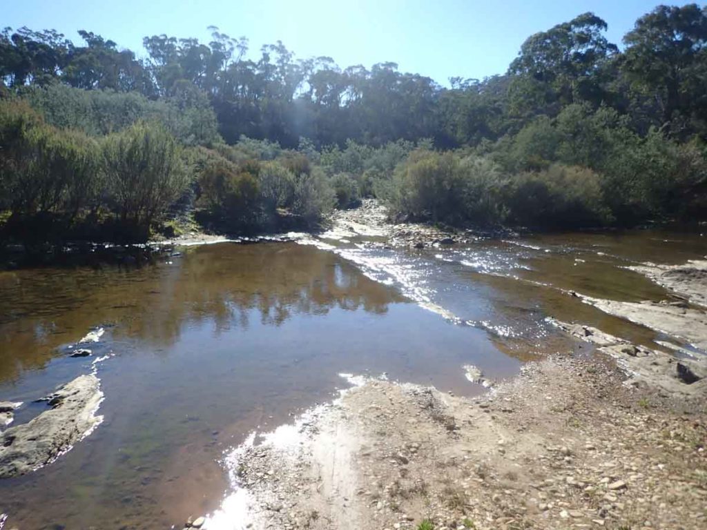
Main River crossing and Flynns Crossing
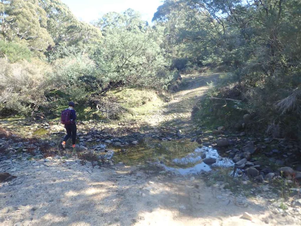
Wombat hole at second water crossing at Flynns Crossing
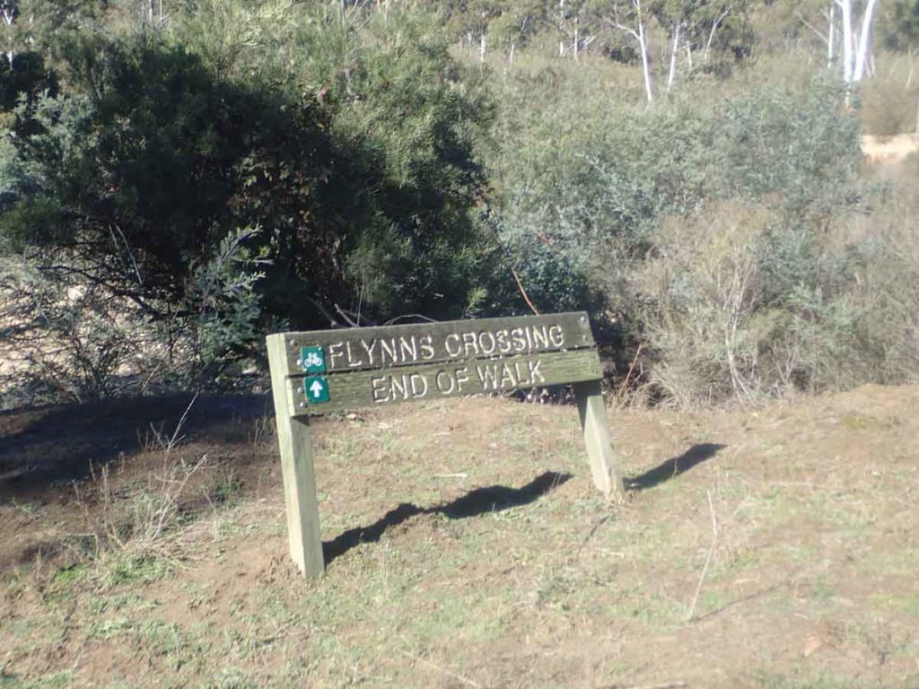
Walk end sign if you do this walk in an anti clockwise manner. If the river crossings are passable do this walk in a clockwise manner and cross at Gelignite Crossing first
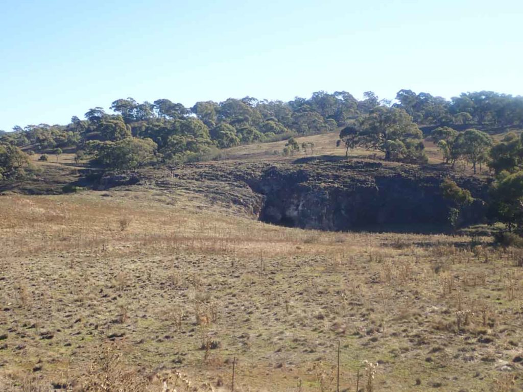
Crossing back over London Bridge
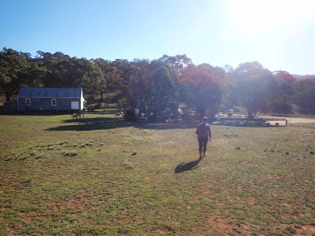
Back to the car park
Getting There
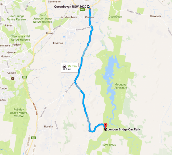
How to get There: Leaving from Queanbeyan take the Old Cooma Road before turning left onto Burra Road. Travel approximately 7.8 km and turn left onto the London Bridge Road. Stay on the London Bridge Road until you reach the London Bridge Woolshed Creek car park
WARNING: If you are using Google maps to reach the woolshed enter the destination as ‘London Bridge car park’. If you enter ‘London Bridge Homestead’ you will end up coming in from the rear end of the homestead which means you are parking in a farmer’s paddock
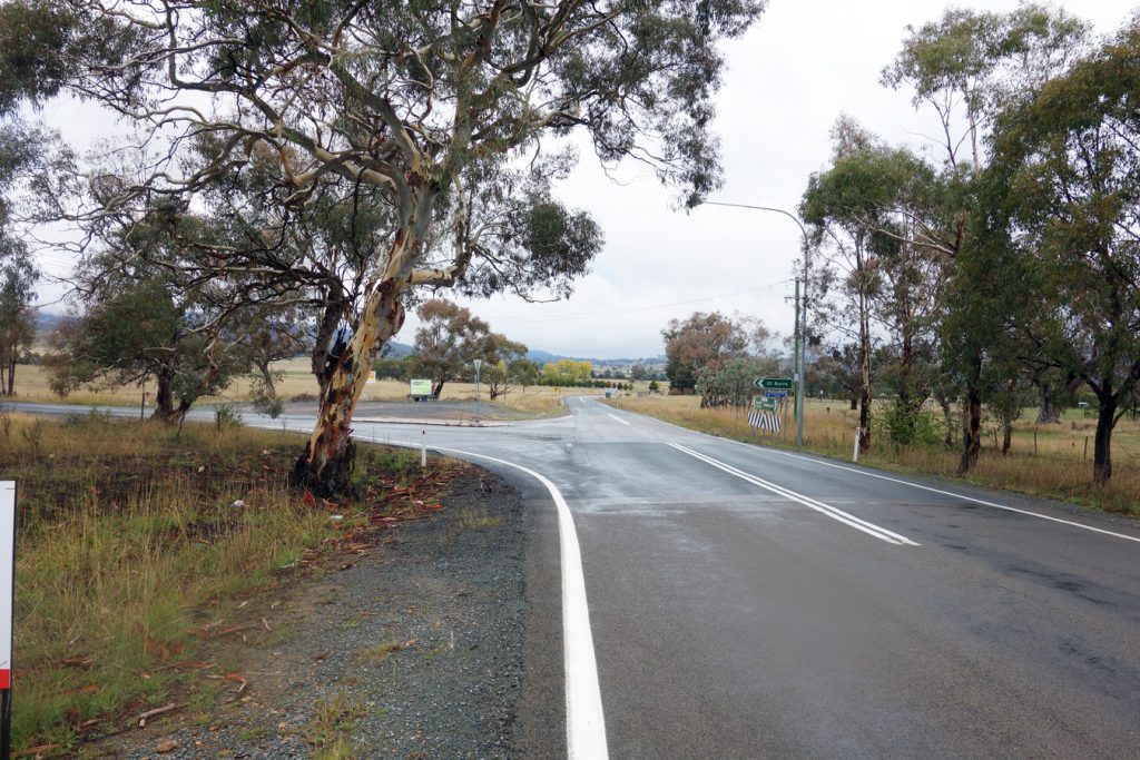
Turnoff point from the Old Cooma Road onto the Burra Road. From here the turnoff to the London Bridge Road is 7.8 km
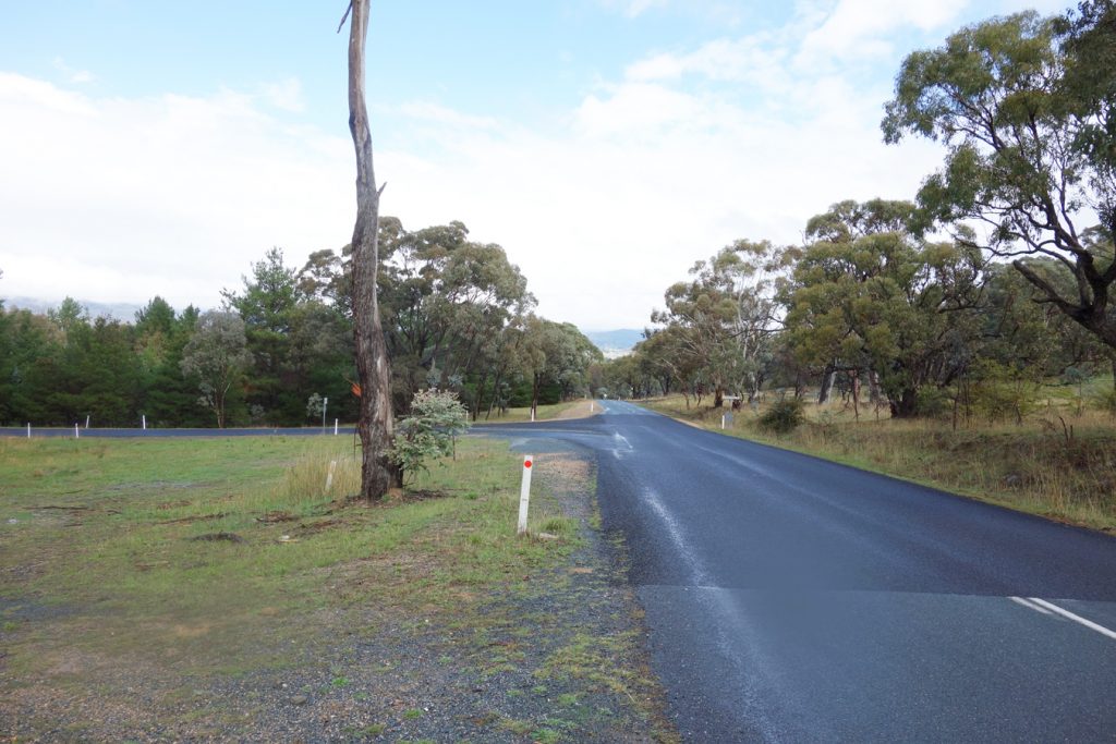
Turnoff onto the London Bridge Road
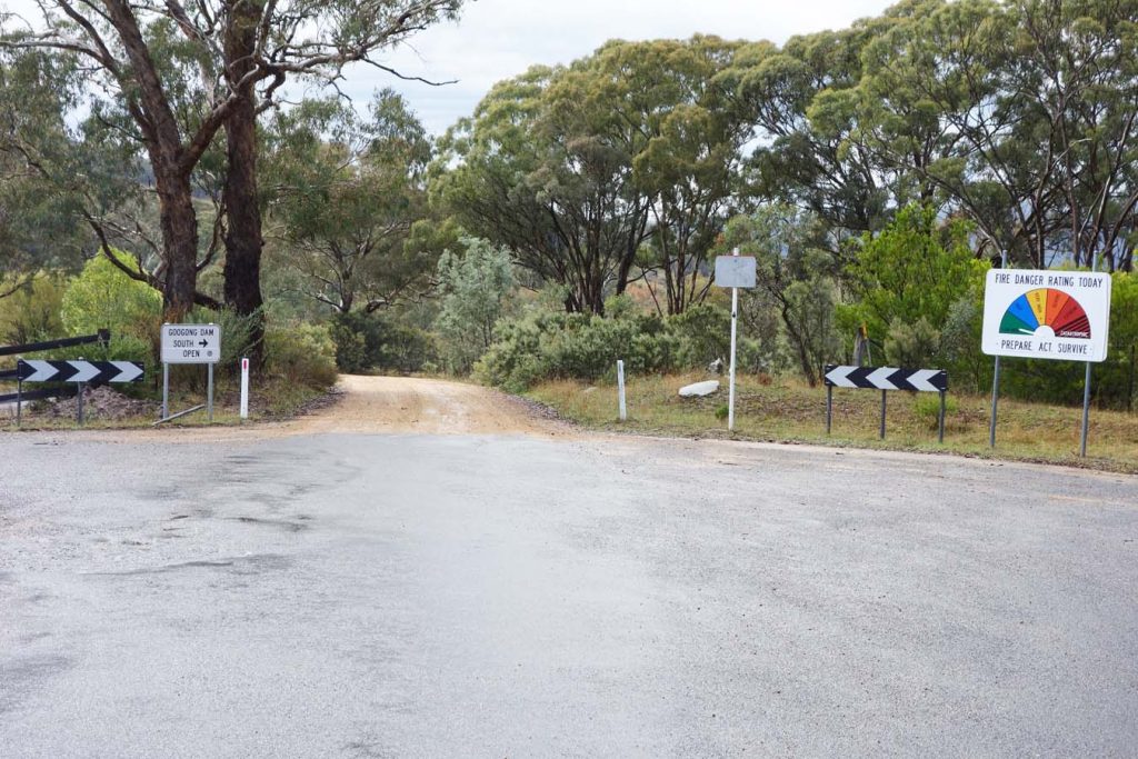
When you reach the end of the bitumen follow the signage to London Bridge
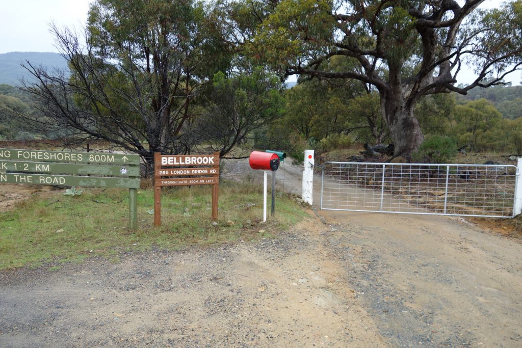
Go through the closed gate (open it first of course), then close the gate and follow the signs
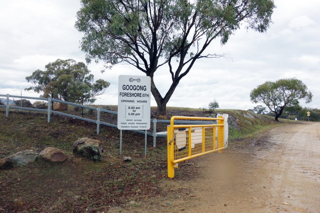
Be conscious of the opening hours particularly if starting early or finishing late
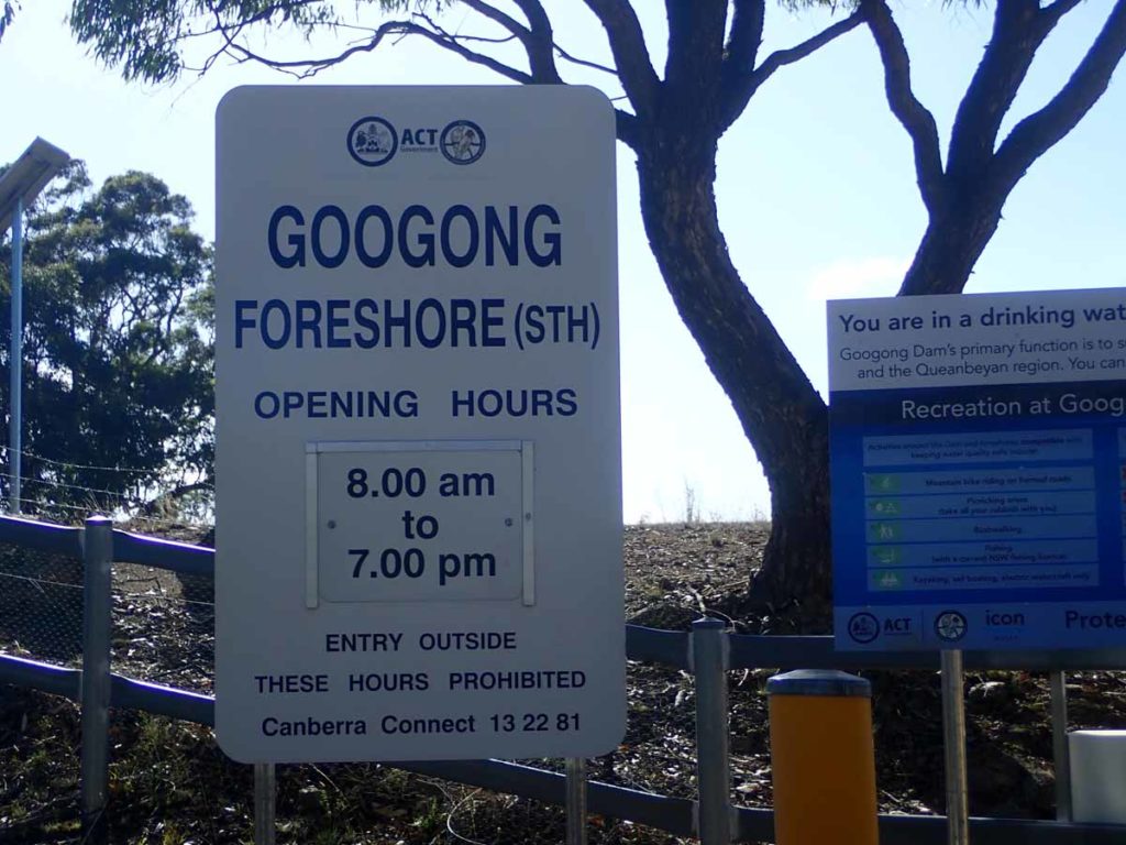
Opening times for this area
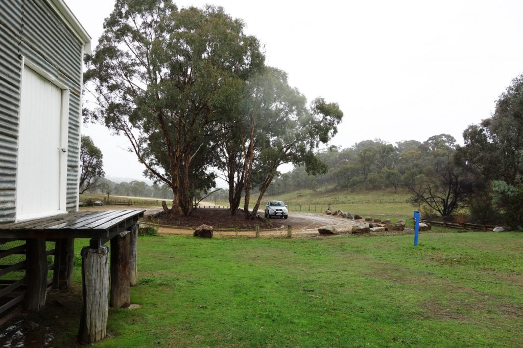
Plenty of parking available at the trail head
Things to Know
- Phone:Phone signal is reasonably good on a lot of this trail although there are some areas where there is no signal(Telstra)
- Water: Bring water with you or bring a filter if you plan o using natural water sources
- Toilets: There are toilets on this trail at the trail head
- Trail: This walk is on management trail and single track .
- Keep clear of the edges when crossing London bridge as the edges can be a bit soft. Keep young children close and safe on this walk
- Dogs: Dogs NOT allowed
- Camping: No camping is allowed on this trail
- Other:
- Opening hours are 8:00am-5:00pm (7:00pm in Summer) but check on the ACT Government (this area is managed by the ACT and not NSW)website prior to going
- If you are using Google Maps to reach your destination enter the as ‘London Bridge car park’. If you enter ‘London Bridge Homestead’ you will end up coming in from the rear end of the homestead which means you are parking in a farmer’s paddock
- While this area is managed by ACT Parks as part of the Googong Water Catchment Area, the Googong area is actually located in NSW rather than the ACT
- If there has been rain in the weeks proceeding your walk you may not be able to cross the river in which case do this walk as the very slightly shorter Queanbeyan River Walk
Disclaimer
This walk was undertaken by the team from Australian Hiker
Related articles
london bridge