Finchley Cultural Walk NSW (0.8 km)
NSW
Nearest Town
Laguna, Great North Road, NSW
Starting Location
Finchley Cultural Walk car park, Yango Track

Finish Location
Finchley Cultural Walk car park, Yango Track
Best Time to Travel
Year round, early in the morning or later in the day to get the best view of the rock engravings
Finchley Cultural Walk Summary
Any time I travel I always look for walks in the immediate location to where we are staying and depending on how much time we have and the condition of the access road, we will always pick one to whet our appetite. Recently we found ourselves in the vicinity of Yengo National Park in the Hunter Valley region of NSW and very quickly located the Finchley Cultural Walk.
This short cultural walk showcases Aboriginal rock engravings (petroglyphs) contained on a large rock platform just a hop, skip and a jump from the car park. The trail surface is easy to follow and pretty flat so is accessible to a range of fitness levels and given the short distance, is a great one for the kids.
The most complex thing about doing the walk is the 17 km drive from the Great North Road which will take you about 40 minutes once you turn off the bitumen. The access road to the trail head is dirt road but very well maintained and will suit the typical family vehicle with good clearance underneath. Signage to the trail head is easy to follow but if you are in any doubt, enter the walk name into Google Maps and it will come up. However, connectivity is a big challenge in this area so don’t depend on your phone staying connected!
The car park itself is located close by a camping ground so if you feel like making a weekend of it there are other walks. We parked in the (very) small car park and proceeded to head off along the trail to the rock platform. Please note here that you drive right past the platform itself on the side of the road so worse case, you could aways drop people off and join them once you have parked the car.
The trail contains signage along the way that explains what you are about to see. After a short walk of around 350 meters the track opens out onto a rock platform that provides some great views into the adjacent valley, but the reason you are here is for the rock engravings (petroglyphs). This rock platform, which is about 80 meters by about 30 metres in size, contains various images engraved into the rocks. Have a wander around this site and pay close attention to the rock as some of the engravings are fairly faint. The recommendation for this walk is to do it later in the day or earlier in the morning so that it is easier to see the engravings. The trail also leads across the road to a few other engravings. The area is very open to so its easy to see where you’ve been and where you’re headed.
There are also a couple of longer walks in this area so if you want to make a weekend of it bring a tent and camp out.
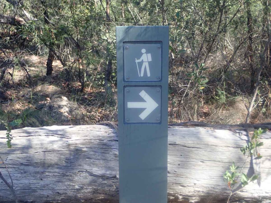
Trailer marker at the start of the walk

Trail signage

Close up of information text on the trail signage

Trail example

Surrounding bushland at the rock platform

Rock engraving example. The engravings are easier to see earlier or later in the day without full sunlight

Rock engraving 2

Rock engraving, I couldnt quite get this kangaroo into the image
The rock platform where all the engravings are contained on the Finchley Cultural Walk

Back to the trail head
Getting There

Google map from the Great North Road to the trail head

Image of turn off on the Great North Road

Short section of bitumen road just after you turn off the main road. The road quickly changes to dirt not long after you turn off

Bitumen to dirt

Direction signage on the road
Opening times for this area
The car park for this walk is small only fitting about four cars (if people park well) although you can park along the edge of the road if you need

Sign to the camp ground
Things to Know
- Once you leave the main road, the majority of your travelling is on dirt road. This road is in good condition
- Phone signal on the Telstra network is intermittent and there are some areas where there is no signal
- Do this walk early or late in the day to get the best views of the rock engravings
- Make sure you have drinking water with you particularly in the warmer months
Disclaimer
This walk was undertaken by the team from Australian Hiker