Pu’u Ma’eli’eli Trail HI (4.5km)
Kaneohe Bay Pillbox
Nearest town
Kaneohe, O’ahu, Hawaii
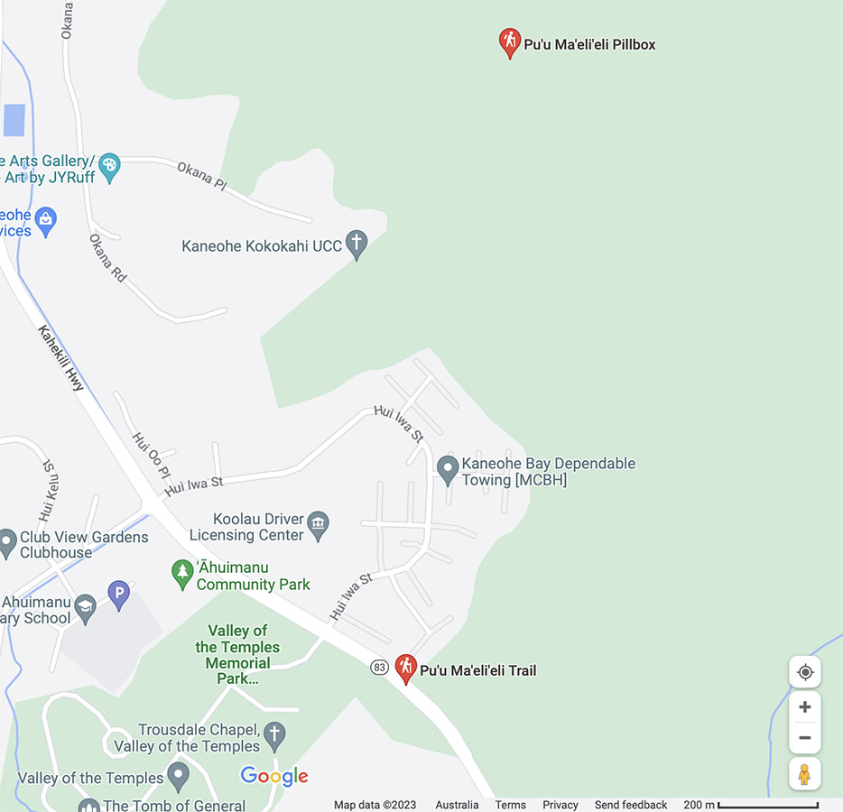
Starting Location
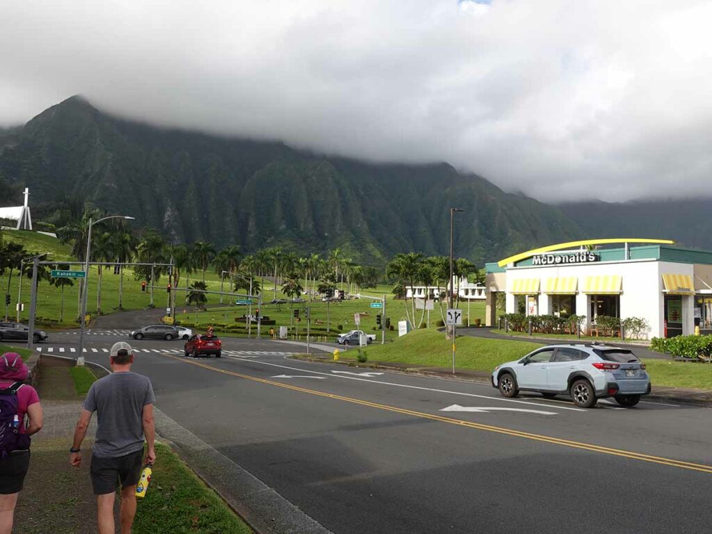
Hui IWA Street, Kaneohe (near McDonald’s)
Finish Location
Hui IWA Street, Kaneohe (near McDonald’s)
Best Time of the Year to Walk
Year round
Pu'u Ma'eli'eli Trail HI Review
This is the second of our walks on our recent visit to O’ahu. While we chose the Diamond Head Summit Trail as our first walk we wanted to get away from the big tourist crowds. We had a local as a guide which helped in particular for this walk because it can be a bit fiddly getting from the car to the trailhead (about 200 metres).
While you still get a reasonable number of tourists doing this walk, it tends to be a favourite of the locals as well. You will find this walk under two names if you search online:
- Pu’u Ma’eli’eli Trail or
- Kane ‘Ohe Bay Pillbox
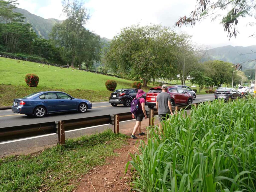
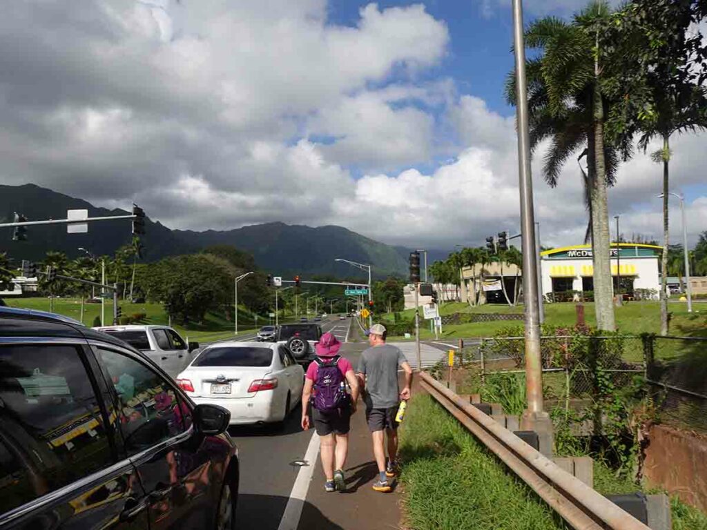
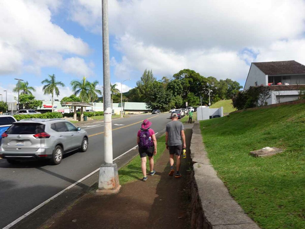
Turn off the Kahekili Highway at Hui IWA Street at the traffic lights and park along the road just near McDonald’s. Walk back down the highway on the edge of the road and head uphill. Just as the houses end climb over the road barrier and you will see a dirt track starting to head up the hill to the left.
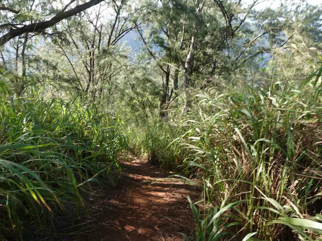
Very early on this trail you will see ropes along the edge of the road that are designed for use in wet conditions. Even though we had a dry period when we did our walk, you could see that it gets very muddy and slippery with rain. The trail winds its way up the hillside interspersed with flatfish sections all on natural trail often with exposed roots as you go. While they aren’t essential, trekking piles would be a big help on this walk. As you approach the summit there is one final short steep section that also has a piece of rope and you really do need to hang on to this particularly on the descent.
You reach a sign just at the start of the summit and this is where the pillbox infrastructure starts. Keep on going a short distance and the tree coverage opens up and you will come to the main pillbox section which is the lookout with great views down into the large bay below. Spend some time here taking in the views before making your way back down to the trailhead.
All up allow about 2-3 hours for this walk depending on your fitness level. Speaking of fitness while this walk isn’t overly long it really is a hiker’s walk and not one that I’d be inclined to take very young children on unless you feel like carrying them.
Signage on this trail is pretty non existent but stay to the well worn pathway and remember to keep to the ocean side and you can’t go wrong.
In regard to wildlife the only thing we came across was a chicken which the locals refer to as the ‘state bird’ as they seem to be everywhere.
Our local guide originally tried to convince us to do this as sunrise walk because it is apparently the place to go at that time of the day so if you’re into getting up early, this walk is one of the better options on the island. While you’re there take the time to head across the road into the Valley of the Temples Memorial Park before heading back home.
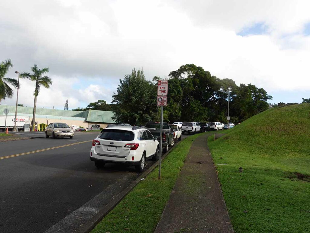
Car park along the road
Leaving the car
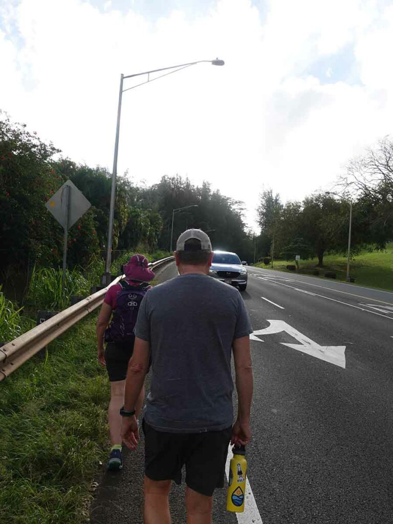
Around the corner, up the edge of the highway and along the edge of the road
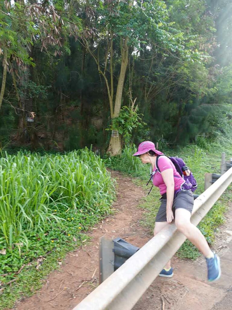
Over the road barrier just after the houses end
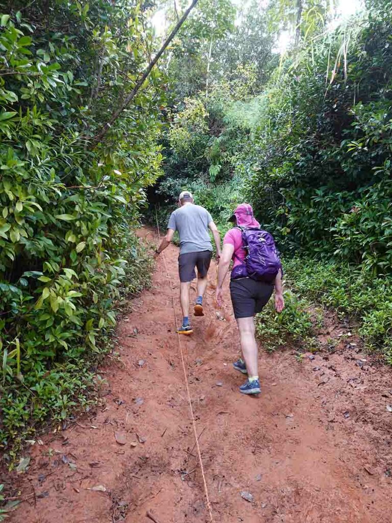
Trail example showing rope along the ground for use in muddy, wet conditions
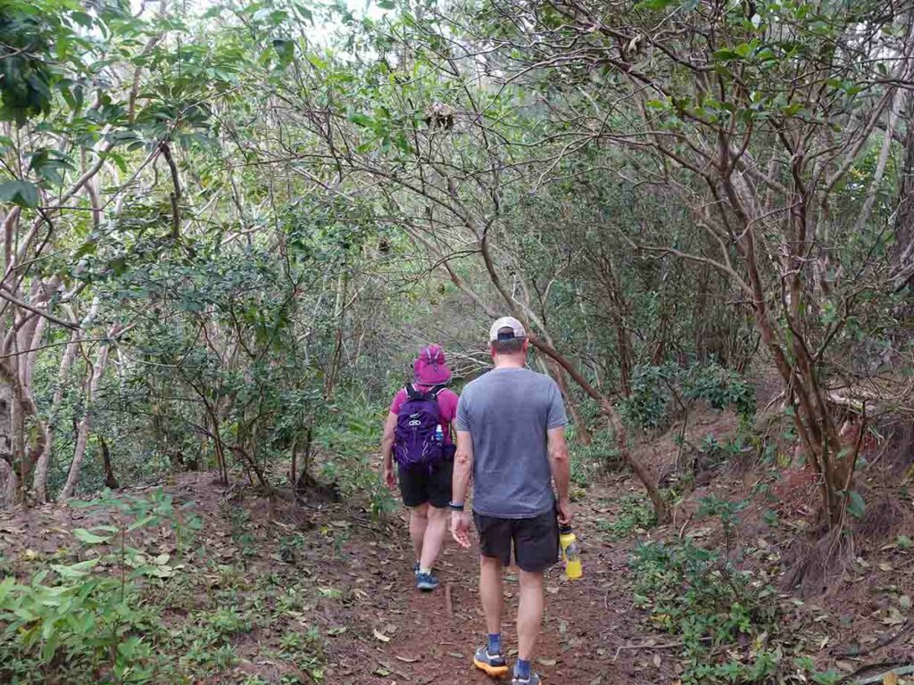
Trail example about half way up
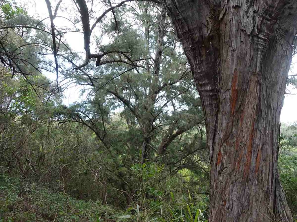
Vegetation along the trail
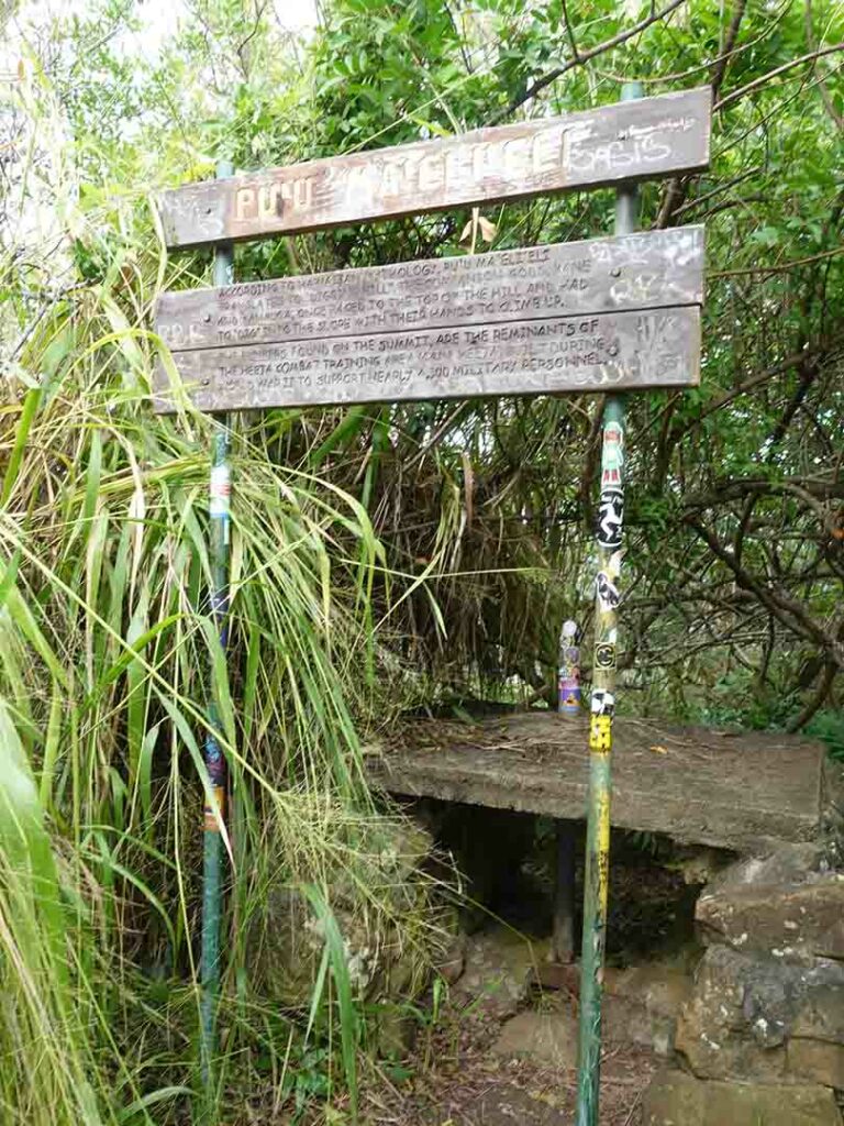
Signage at the summit
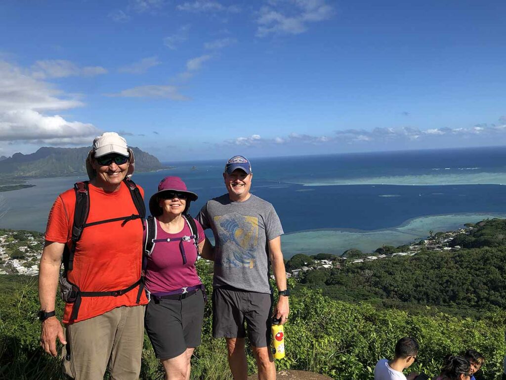
Tim and Gill with Sean our local guide for the day

Kaneohe Bay panorama
Down into the pillbox
Heading back
Back to the road
Back along the road
Almost back to the car
Trail video
This short video contains photos and videos to show you the walk from start to finish
Getting There
Google Map to the trailhead. The drive from central Honolulu to the trailhead is approximately 21km distance and will take approximately 30 minutes by car
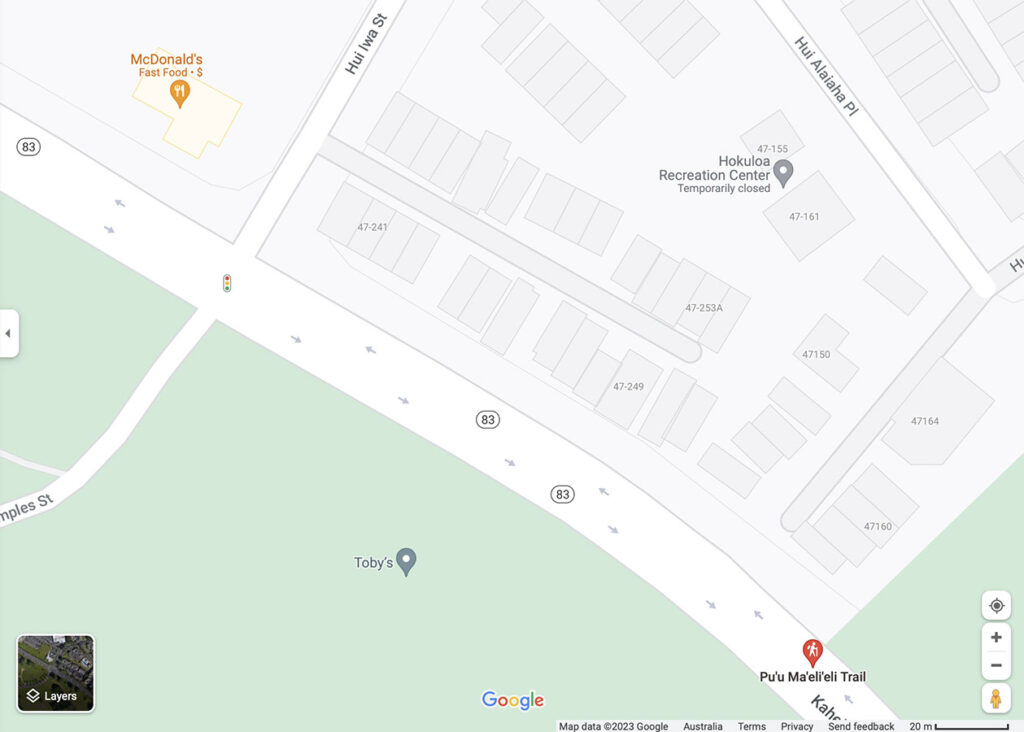
Park on Hui IWA Street, Kaneohe (near McDonald’s)
Things too know
- Phone: There is good phone signal on this trail (Telstra-international roaming)
- Water: Bring your own water
- Toilets: There are no toilets one this trail
- Trail: This walk is on natural trail
- Dogs: Not identified
- Camping: No camping
- Other:
- If its been raining this trail can be a bit slippery so choose shoes with good grip
- A great place to be at sunrise
Disclaimer
This walk was undertaken by the team from Australian Hiker