Old Noarlunga Hike SA (5.1km)
Onkaparinga River National Park
Nearest Town
Adelaide
Best Time of the Year to Travel
May-September. If you do this walk in summer start early to avoid the heat
Starting Location
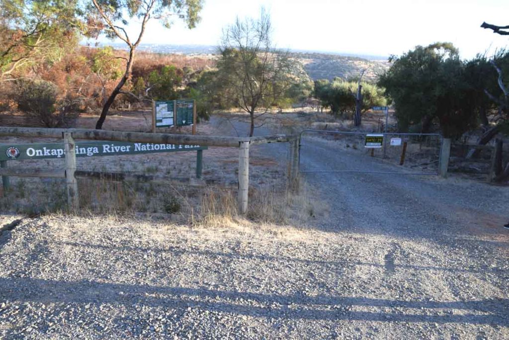
There are a number of starting options for this walk but the easiest to find that didn’t involve a water crossing was at gate no 29
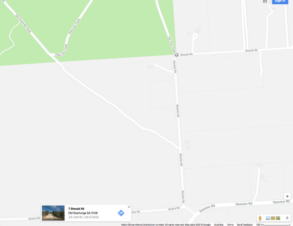
Park just outside gate no 29 on the corners of Barytes Road and Sheoak Road
Finish Location
There are a number of starting options for this walk but the easiest that we could find that didn’t involve a water crossing was at gate no 29
Old Noarlunga Hike SA Review
This walk in on the fringes of the outer Adelaide urban areas and includes native bushland as well as views across the nearby urban areas and the ocean. On the day we had limited time so wanted somewhere close by to where we were staying that wasn’t going to take up a lot of time. This walk fit the bill well and in addition it was easy to access.
The walk is located within the Onkaparinga River National Park located in close driving distance from central Adelaide. I must admit coming from southeastern Australia the landscape in the Adelaide region is very different from what I am used to given that the bushland is much sparser and the visit occurred during a very dry summer so the landscape was particularly parched. I have seen photos of this area during the wet season and its a very different landscape. After a bit of online research we decide that gate 29 was the way to go as it was relatively easy to access and didn’t involve any water crossings.
Given that it was late summer and forecast to be over 30+° we opted for an early start and were walking by 8:30am. The trail head interpretive sign was very informative (note that there is no trail head interpretive sign at gate 30, or at gate 1) and showed the walk quite clearly. The majority of this walk is on management trail with a section through the gorge in the middle of the trail.
Starting at this gate you have a relatively gradual down hill and will go past an intersection on the left which is where you will be coming from on the return trip. At this stage you you have views across the surrounding hills and can just see the ocean off to the left of the trail. Shortly after you go past this turnoff you will parallel the old pipeline down a reasonably steep hill (watch your footing in dry conditions) and once you reach the bottom of the slope you have a relatively flat section that is also a bit lusher. The are a few spectacular big tress in this area that for me at least was one of the highlights of this walk. You will walk along the gorge and will come across a water body an at this point pay close attention as the trail veers back up the hill again. We actually went a bit far before realising and had to back track onto the correct trail.
The track along the gorge area can be a bit treacherous and there is a warning sign that indicated this which is the only reason that this is a grade 4 walk. Once you come out of the gorge area you will hit another ‘T’ intersection and if you have had enough turn left back up the hill. We opted to go right to have a look at the alternate start point at gate 1. This crossing is certainly doable unless its been raining heavily but as mentioned there is no interpretative trail head signage here.
We then turned back the way we came and headed back up the hill. Part way up the hill you will come across a seat to stop and take in the views of the urban area below and out the the ocean. From here continue on up the hill and you will run into gate 30 which is also an alternate starting point but one that is harder to find and the road is not quite as good. Turn left at gate 30 and the road twill take you through some very dry bushland before turning right at ‘T’ intersection back towards your vehicle. The trail direction signage is reasonable good and if you remember that you are doing loop then getting lost is pretty hard. the whole walk will take you around 90 minutes.
While this walk can be done at any time of the year I’d suggest doing it between May-September to ensure a lush landscape unless you don’t mind the dry summertime bushland.
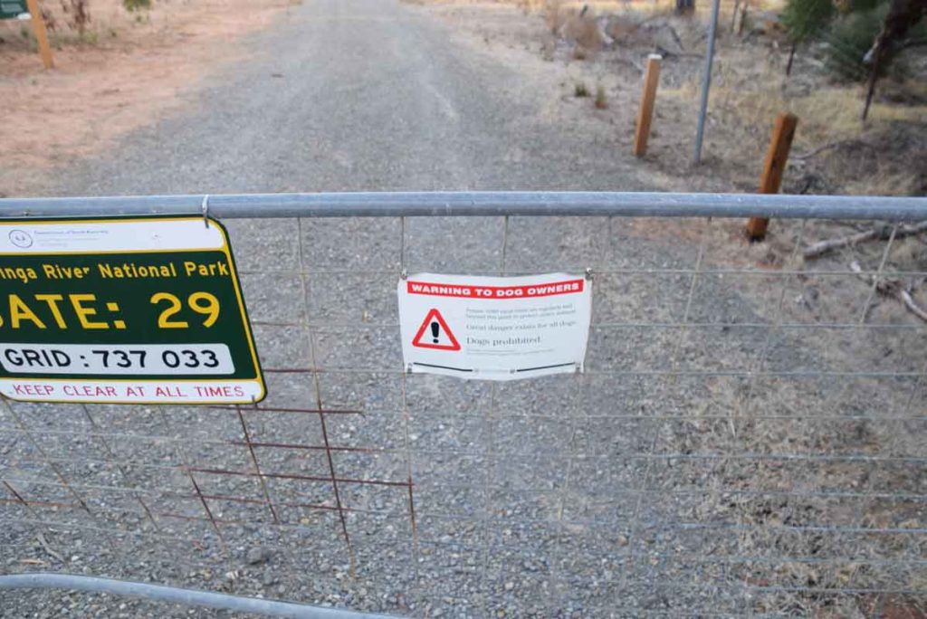
No dogs allowed at any time and if that doesn’t convince you there are baits down
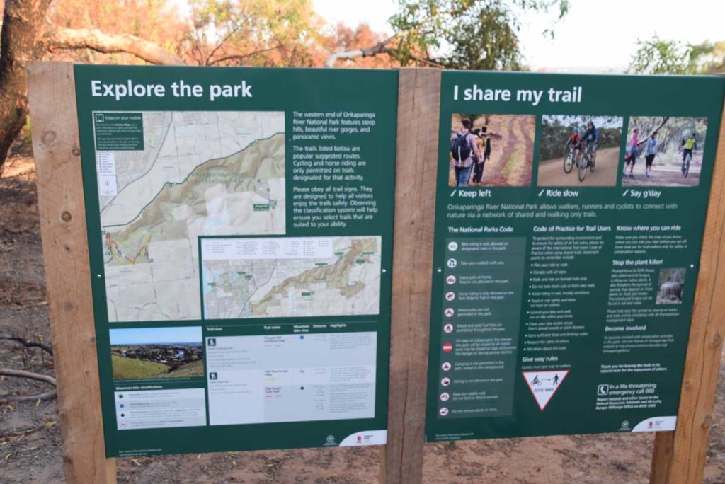
Trail head signage
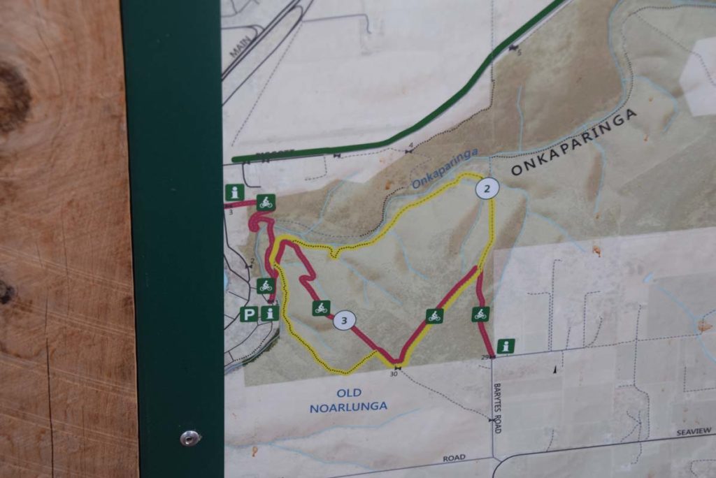
Trail head map showing this and other walks
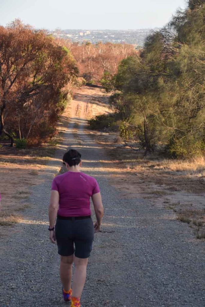
Start of trail
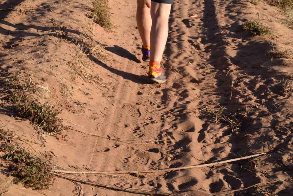
Trail close up of the trail. Walking on sandy soils is something that I don’t do that often
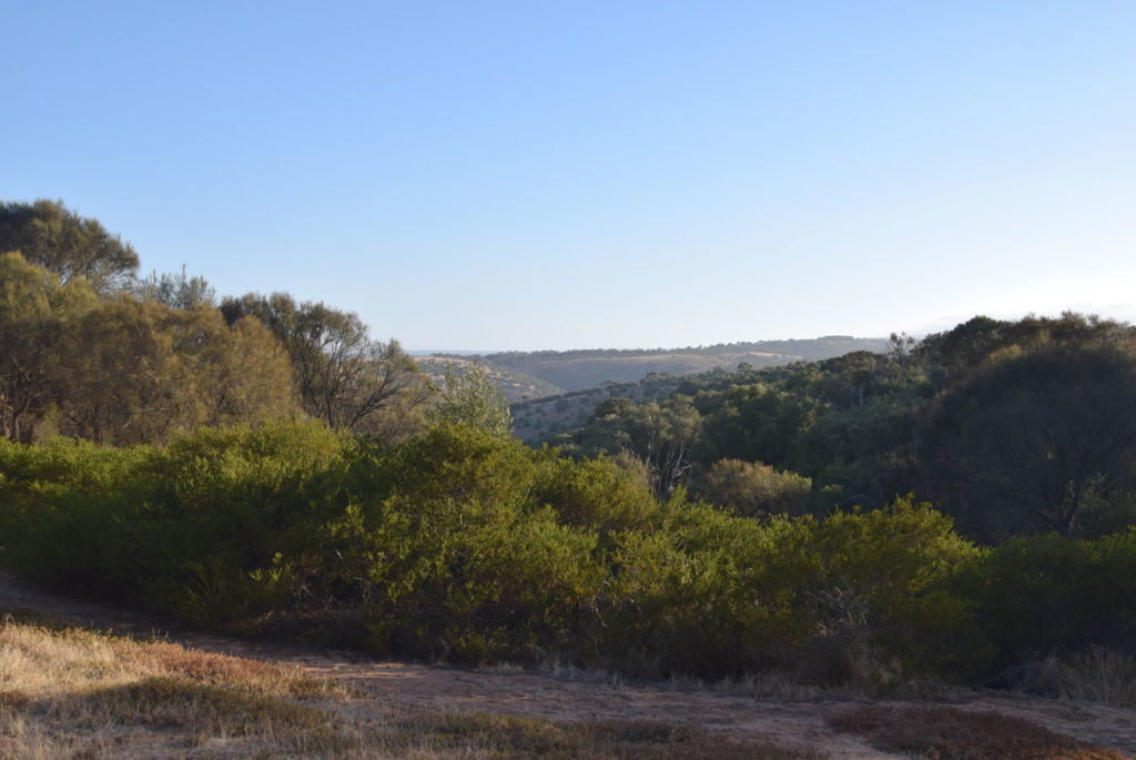
View to the adjacent hills on the Old Noarlunga hike
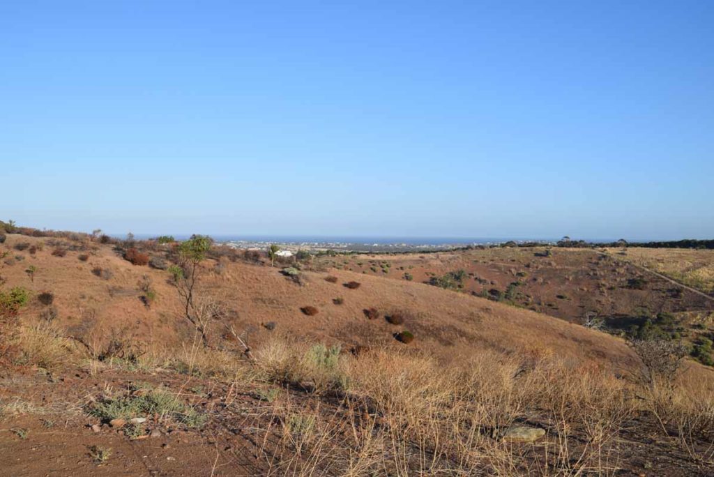
View to the ocean off in the distance

Pipeline. The slope in this section is not bad but certainly very noticeable
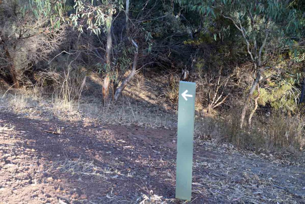
Direction arrow on the trail
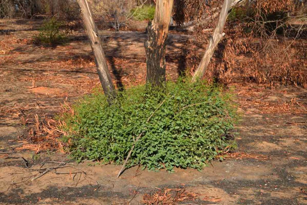
There has been a fire over recent years in this area and although still new I love the regrowth
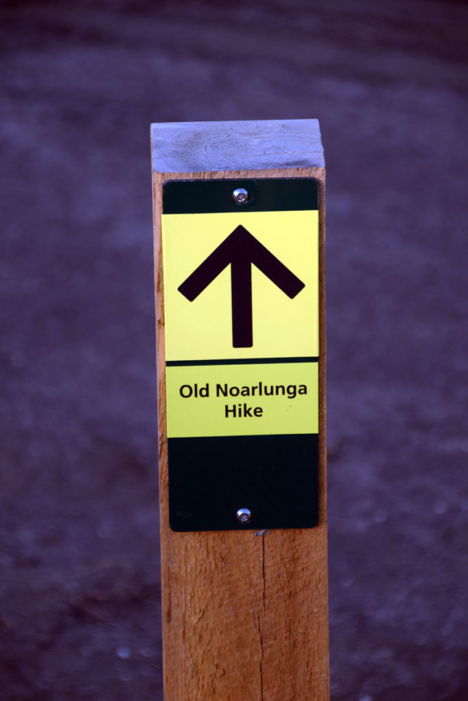
Trail signage for the Old Noarlunga Hike. Just remember that you are doing loop and the trail is easy enough to follow.
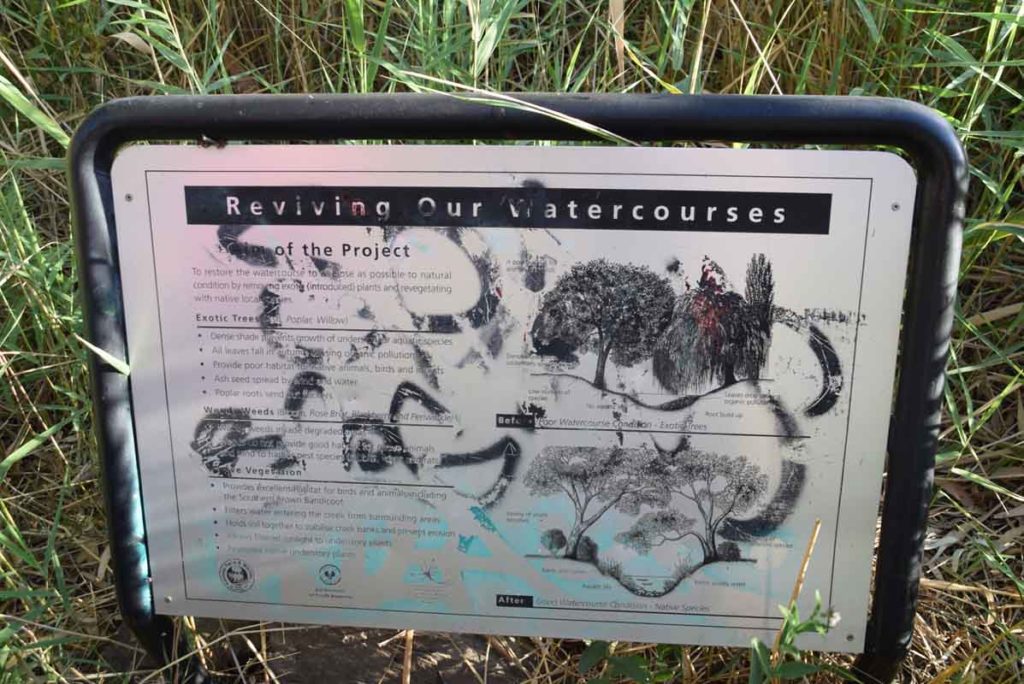
There is the odd interpretive signage on the trail but its in poor condition
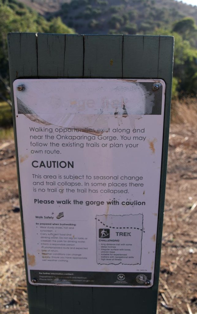
This warning sign is at the gorge in the middle of the hike and warns you to keep an eye on you footing
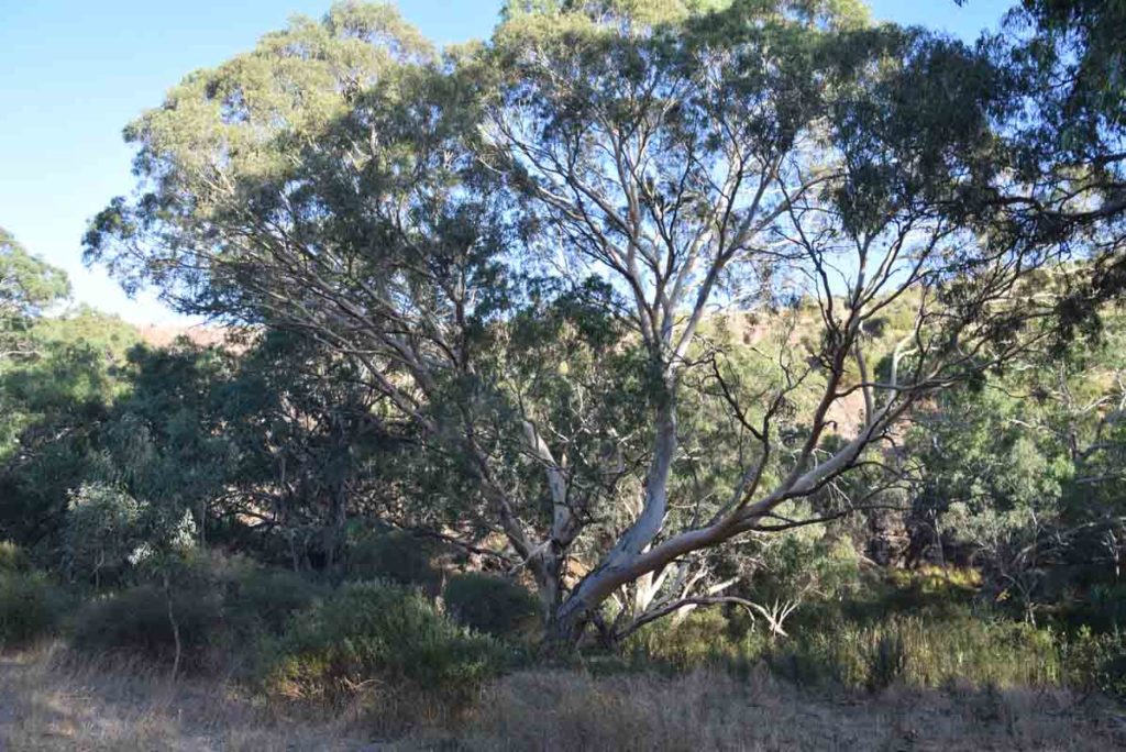
There is the odd big old tree on this trail that is very noticeable and very striking
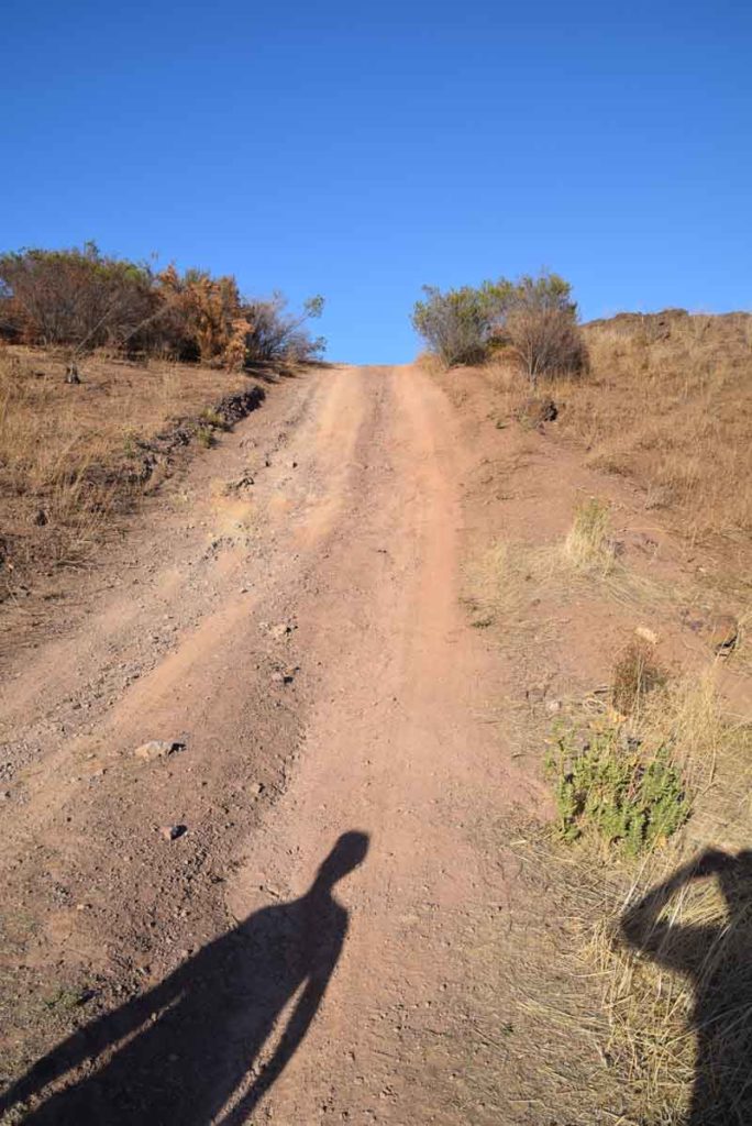
If you go anticlockwise on this trail there are two steep uphill sections
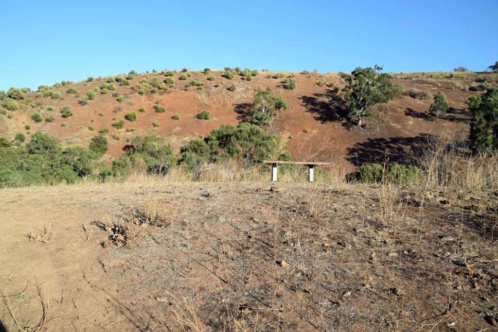
Seats are placed at good view points
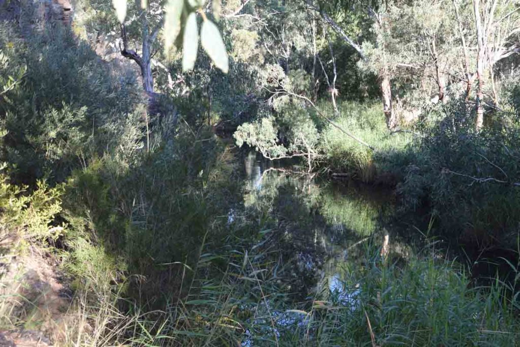
Water body though the gorge area
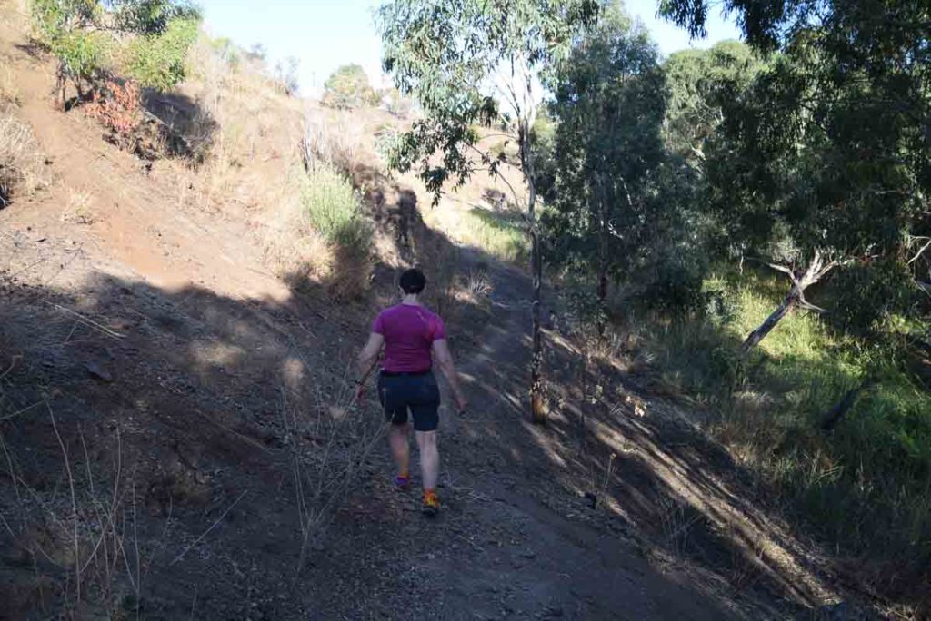
Trail example. keep an eye on your footing her particularly during drier conditions when the trail can be very powdery
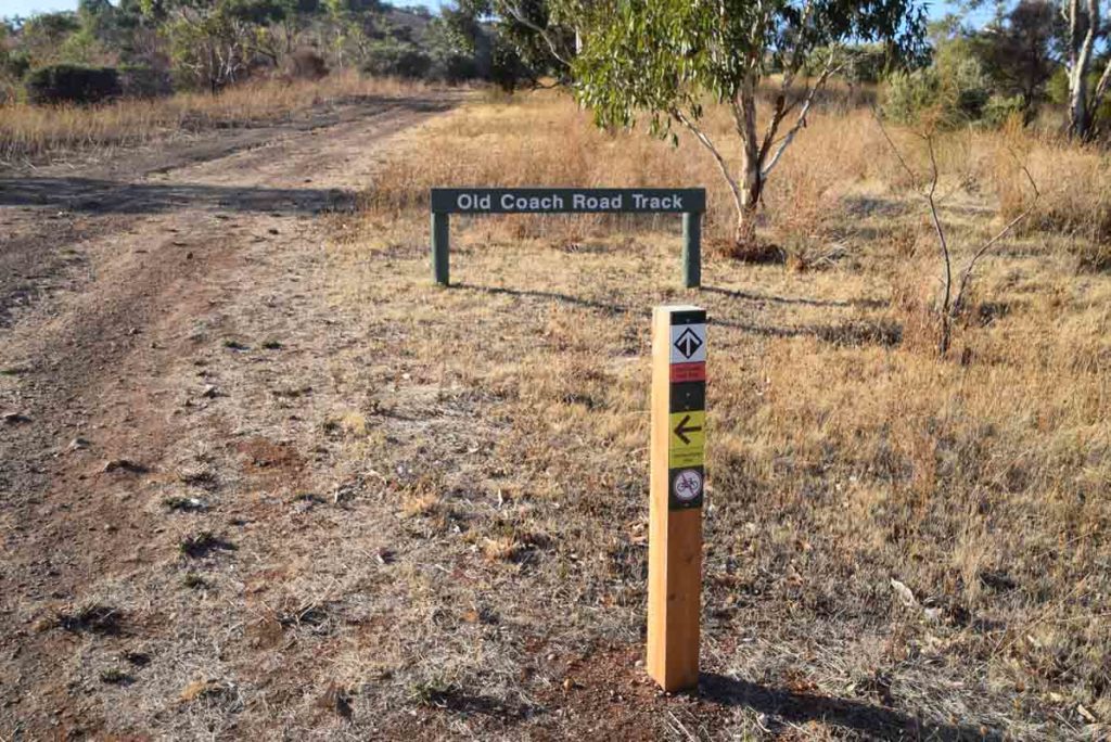
Going out of the gorge you will come to a ‘T’ junction if you loop to the left you will go back to the starting point. If you go to the right you will end up at an alternate starting point. This point is not that far away so is worth a visit
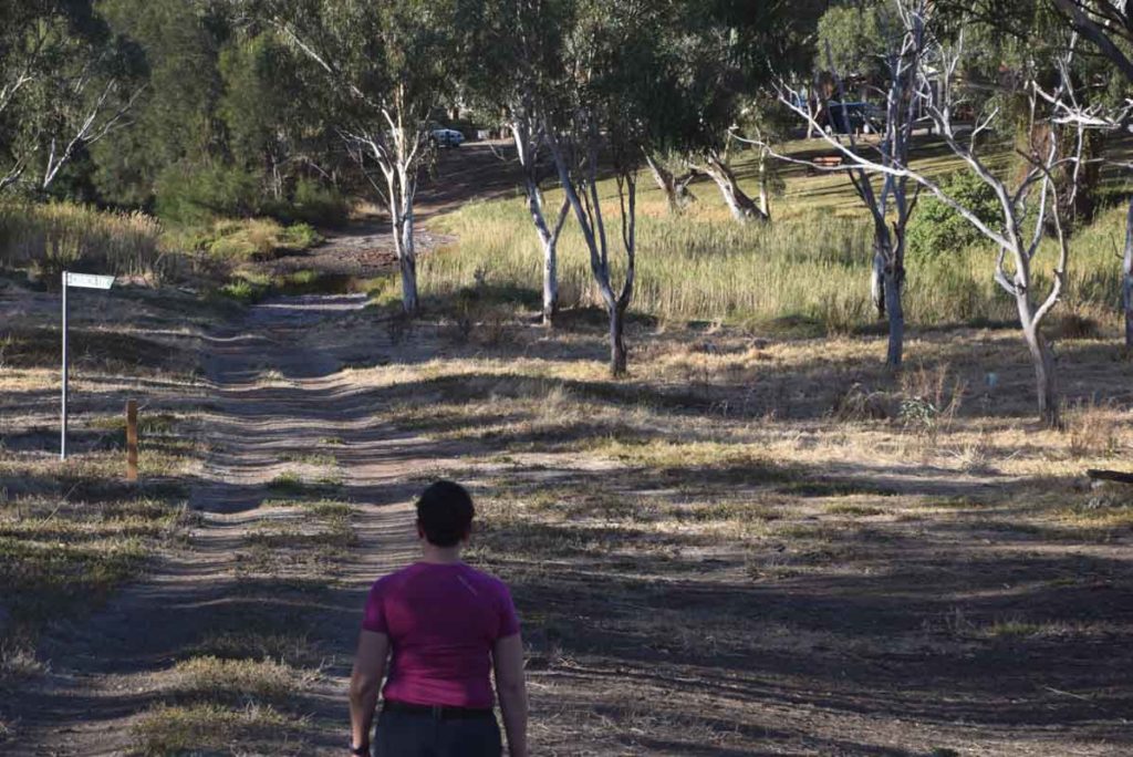
Heading to alternate starting point at gate 1
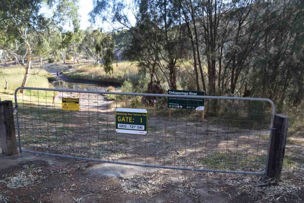
Gate 1 starting point. This optional starting point that requires you to cross the river.
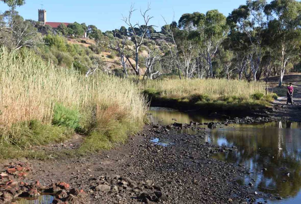
River crossing during a drought period. If there has been heavy rains you are likely to get wetter at this crossing which is why we suggest starting at gate 29
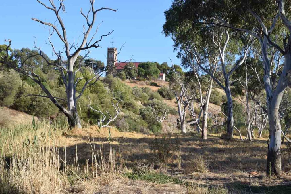
View to the church on the hill heading back towards gate 29
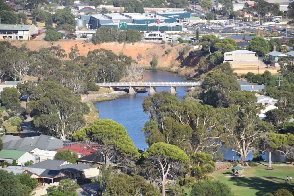
Urban views as you head back up the hill forming a loop on the trail
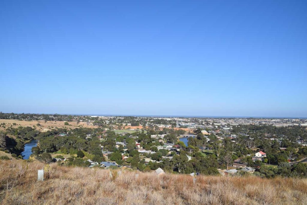
Urban views and the ocean
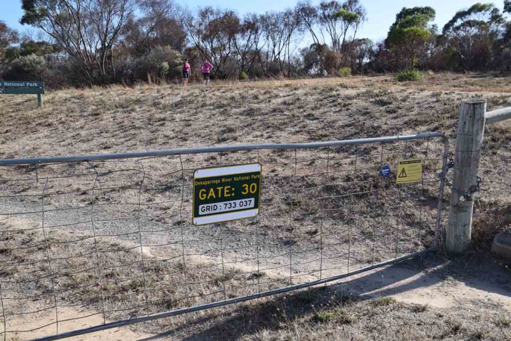
Gate 30 image. This gate which is close by gate 29 is also an alternate start point but is harder to get to and the road is not as good
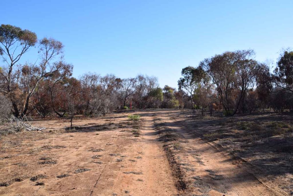
Road from gate 30 back to gate 29
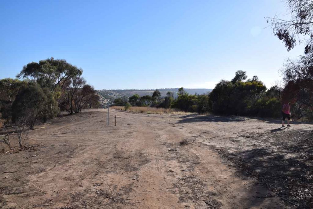
Back to the starting point. Turn the the right here and you car will be up the hill a few hundred meters
Getting There
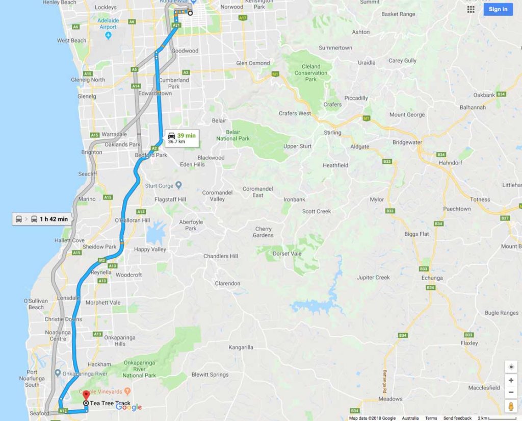
Google Map to the Old Noarlunga hike trail head from the Adelaide GPO:
- Depending on your starting point head from Adelaide City down the Southern Expressway as if you are heading to Victor Harbour or Cape Jervis
- Turn left onto Victor Harbour Road
- Then turn left onto Quarry road
- About 1.5km turn left onto Barytes Road. Your destination is at the end of Barytes Road where it meets Sheoak Road at gate 29. Park just of the side of the road and start your walk
- The whole trip from the Adelaide GPO to the trail head is just on 39km

Trail Head at Gate 29 at the intersection of Barytes and Sheoak Road
Things to Know
- Phone: Phone signal is reasonably good on this trail (Telstra)
- Water: You need to bring your own water. You could collect it at the water body in the middle of the trail if you really need to
- Toilets: There are no toilet facilities on this trail.
- Trail: This walk is on formed trail which is fairly sandy, sometimes soft, sometimes hard
- Dogs: Dogs not allowed
- Camping: Camping not allowed
- Other:
- This trail is walkable year round but will be very dry and exposed during mid summer so start early at that time of the year
- Bring a broad brimmed hat, long sleeved top and long pants as the UV index can be brutal in the Alps (see below)
- This trail is walkable year round but will be very dry and exposed during mid summer so start early at that time of the year
Disclaimer
This walk was undertaken by the team from Australian Hiker