Wetlands Loop Trail SA (5.2km)
Onkaparinga Wetlands
Nearest Town
Adelaide
Best Time of the Year to Travel
Year round but this walk is best during the Winter-Spring period after rainfall has filled the wetlands
Starting Location
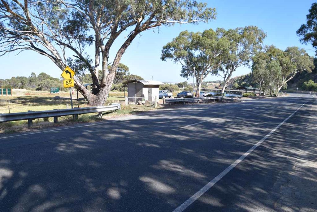
Trail head car park at Perry’s Bend, River road is easy to locate
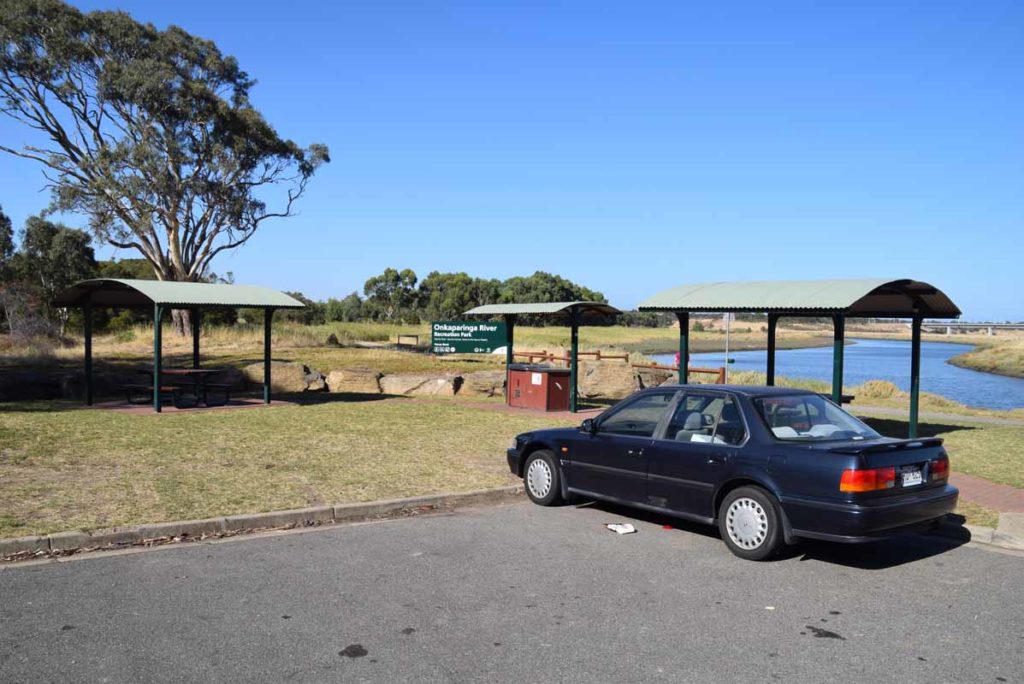
Trail head picnic area
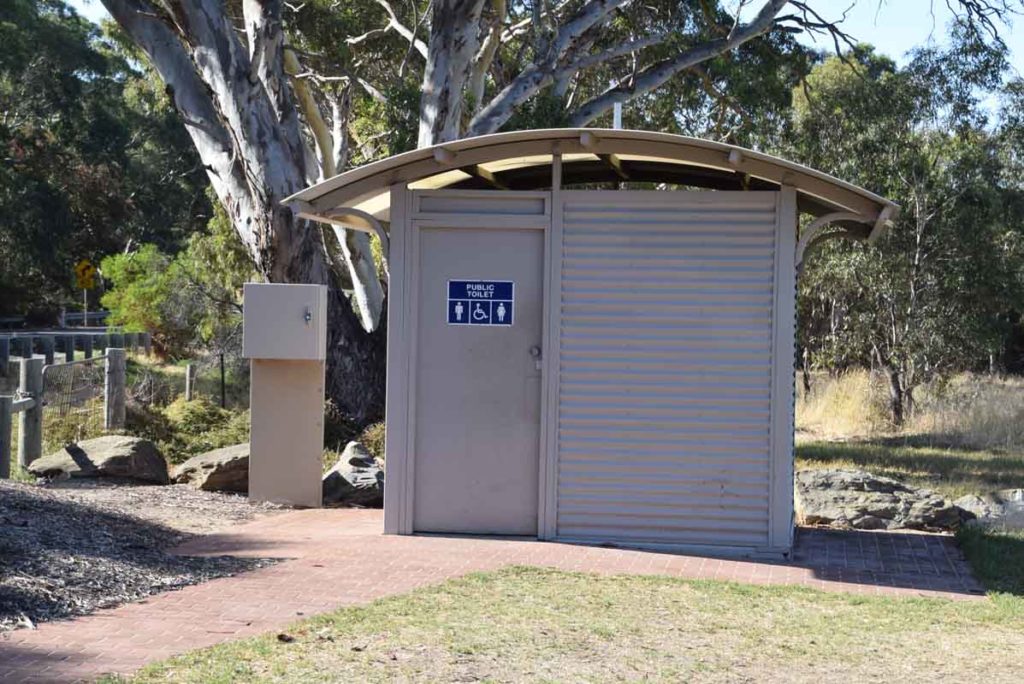
Trail head toilet
Finish Location
Trail head car park at Perry’s Bend, River road
Wetlands Loop Trail Review
Another shortish walk on the fringes of the outer Adelaide urban area and includes native bushland, wetlands, the Onkaparinga River, as views across the nearby urban areas. This walk is through a wetland adjacent to the Onkaparinga River and while is is close to houses it is far enough away to provide a natural feeling while you walk. The ability to choose your own adventure on this walk by doing either a long walk(this write up), or a shorter version makes this one of the easier walks and while there is an increase in altitude on the trail its hard to notice so is suitable for hikers of all ages and fitness levels. The trail itself is mainly on management road and is flat with a good surface. There are also sections of timber board walk as well as small sections of strategically placed mesh bridges.
We undertook this walk in late summer so as a result the wetlands area of this walk didn’t contain any water. What birdlife was there was in the river system and even though the wetlands were dry there was still plenty to see. The best time of the year to undertake this walk would be after periods of extended rain which means sometime during mid to late winter-early spring. This is a great walk on the southern fringes of Adelaide for those with limited time.
The trail head has good facilities that includes a toilet as well as picnic shelters and a BBQ so depending on the time of day you could make this a late morning or early afternoon walk and combine it with a picnic/BBQ lunch.
Trail head adjacent to the picnic area handcar park
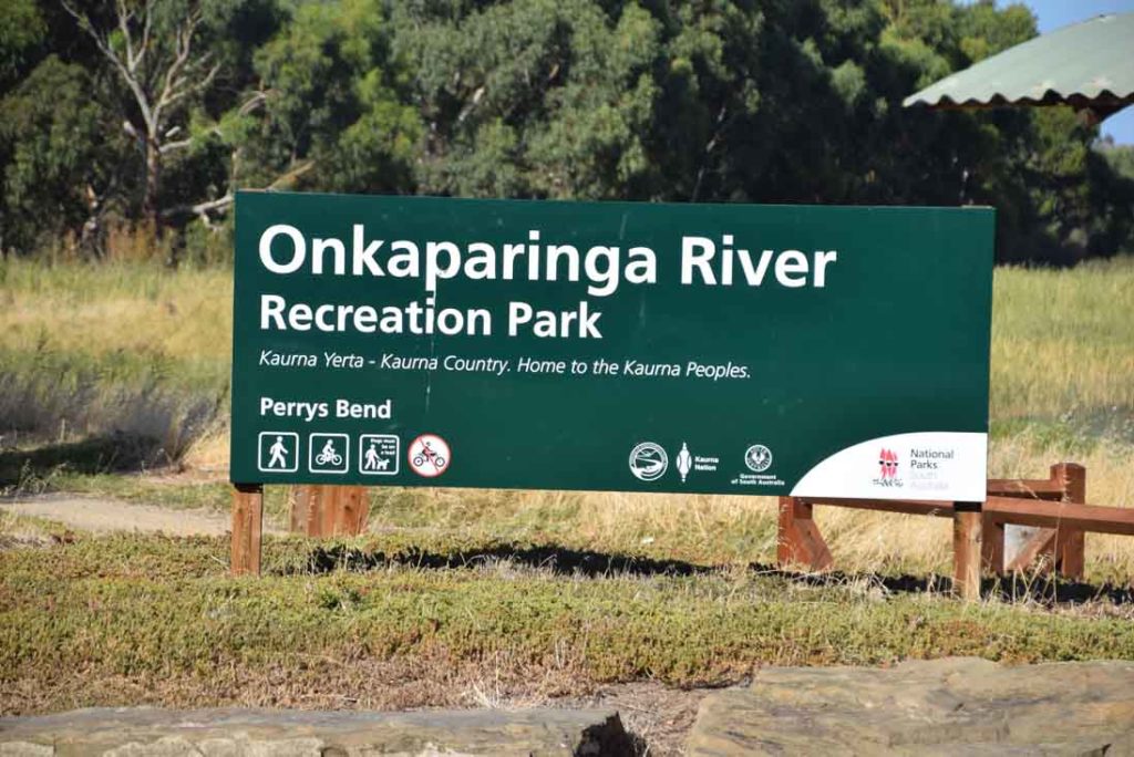
Perry’s Bend sign
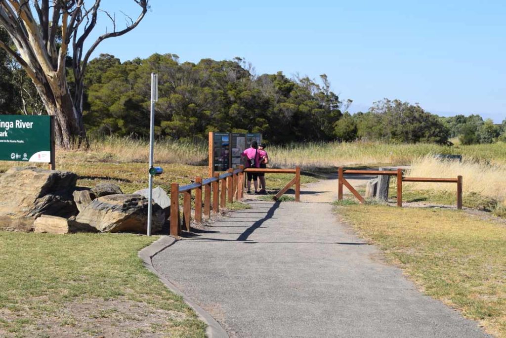
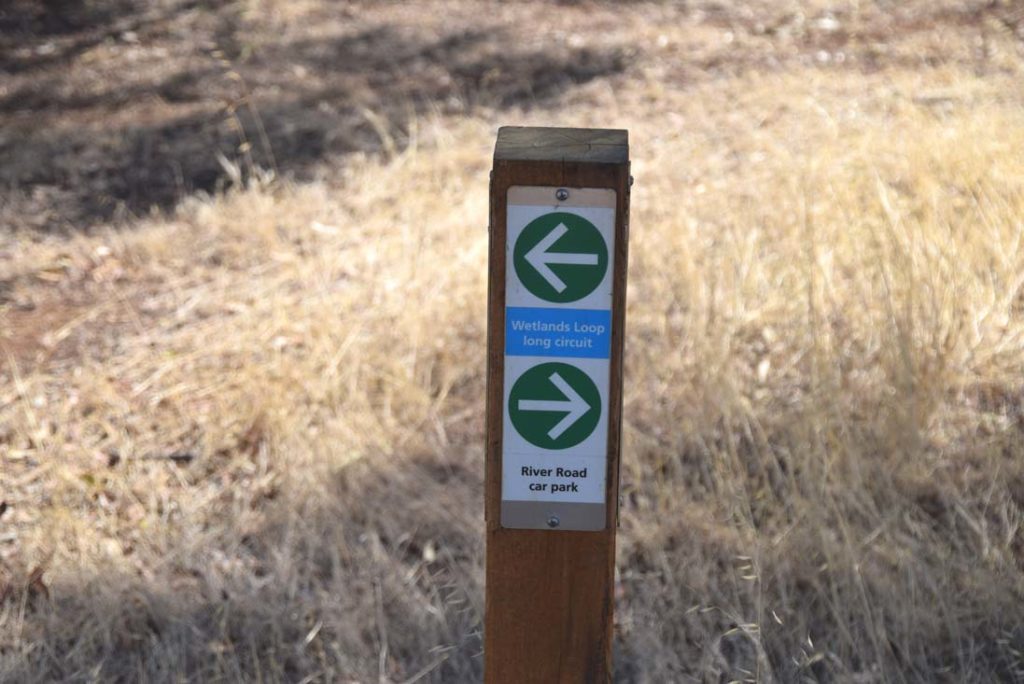
Trail head signage. This walk is shown as the Wetland Loop Trail
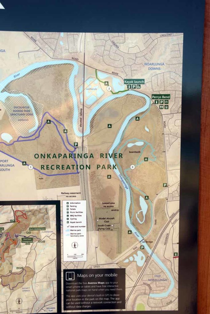
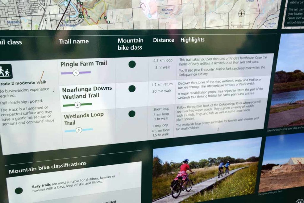
Trail head signage with map of the trails in this area
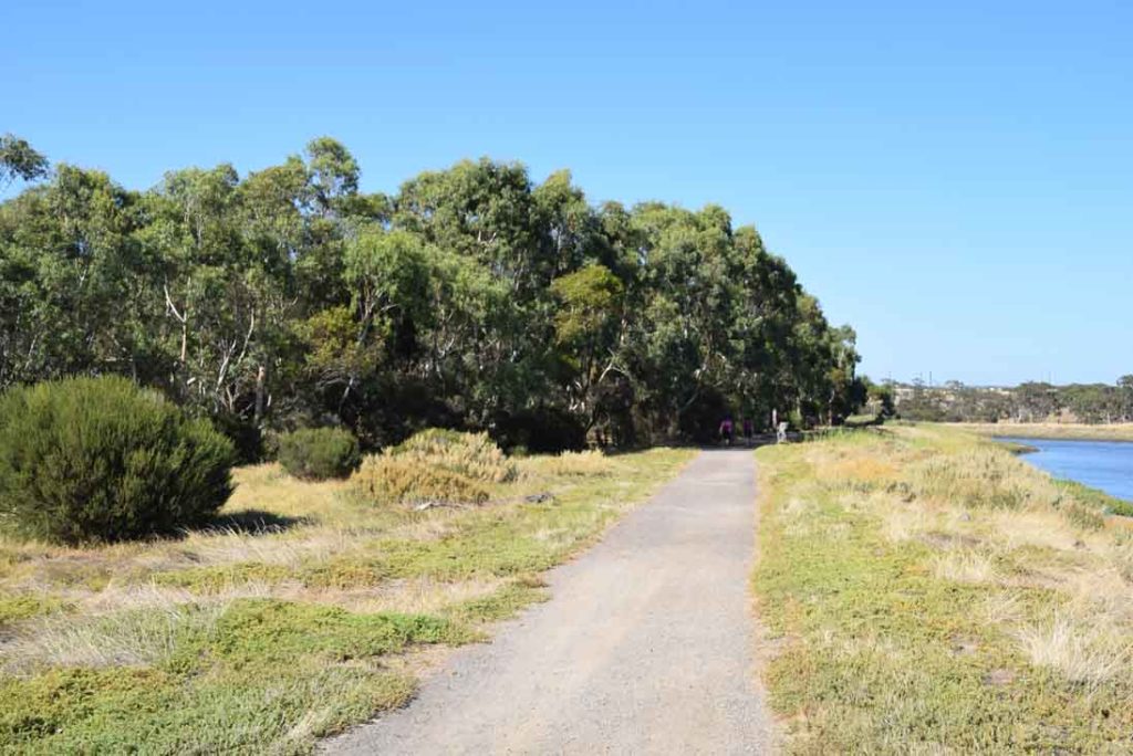
The trail runs parallel to the river as you commence this walk. If it is summertime then what birdlife is present will be in the river
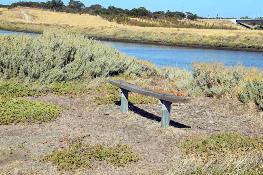
The odd seat dots the trail to allow you time to just sit and enjoy the scenery
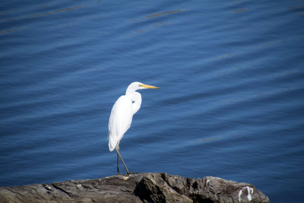
Egret and other waterfowl are present on the river even if the wetlands are dry
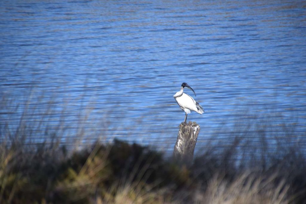
Ibis (aka Bin Chicken)
Trail options exist. You can take the short version or do the longer version. This trail write up is the long version
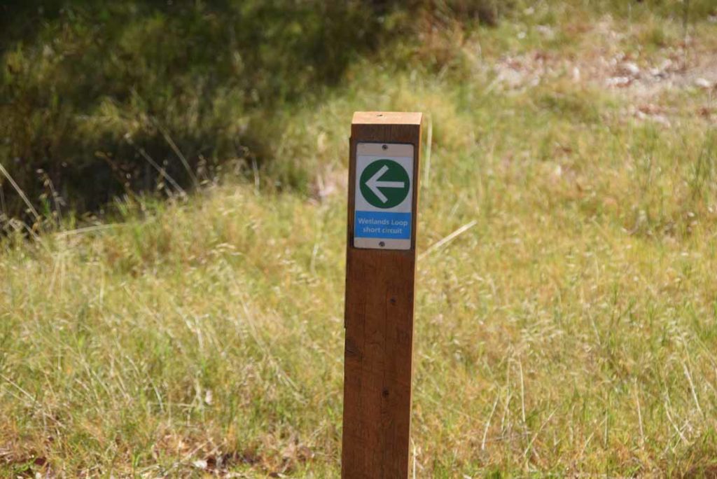
Short option
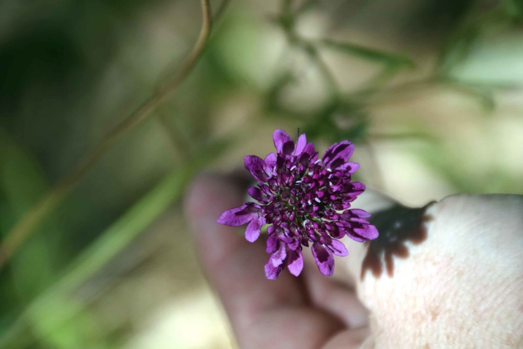
The small stuff is always interesting even if there is limited bird life
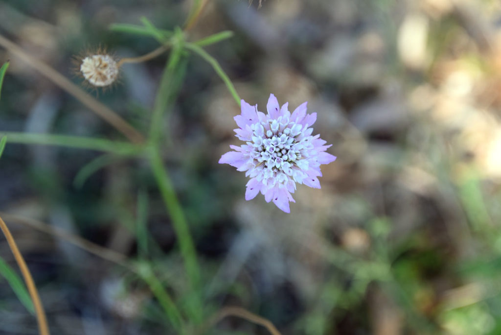
And a different colour
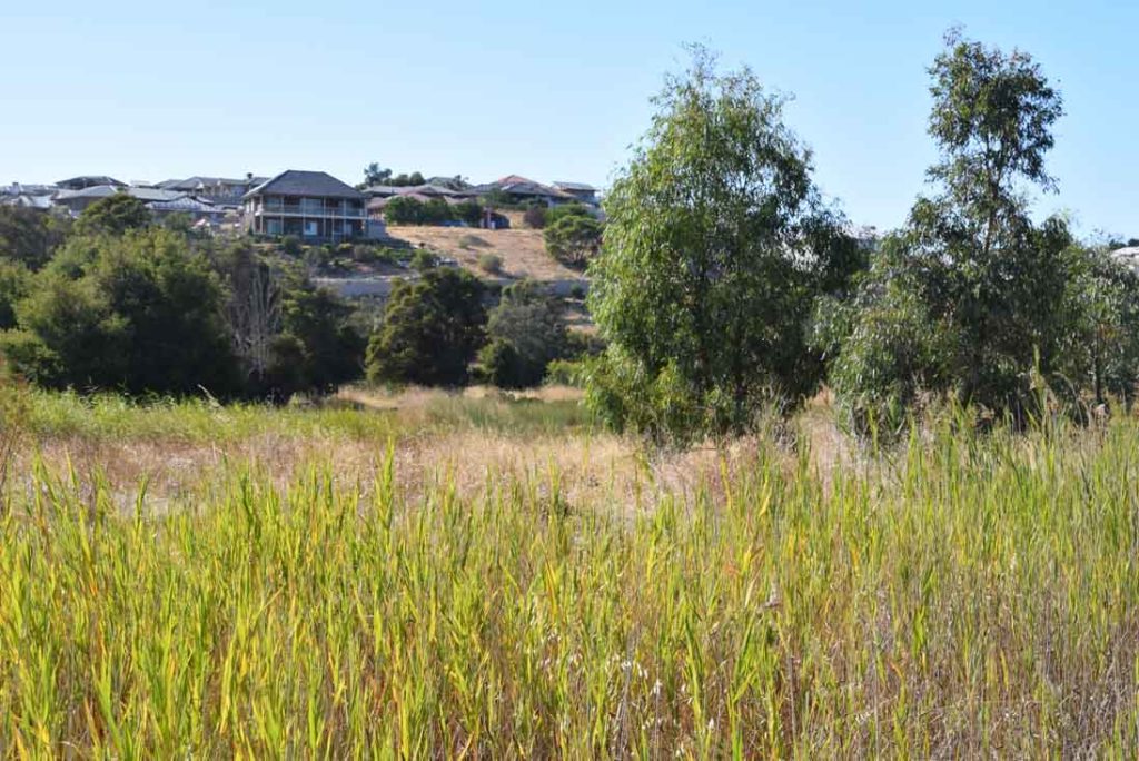
This trail is close to residential areas so is very easy to access if you live locally
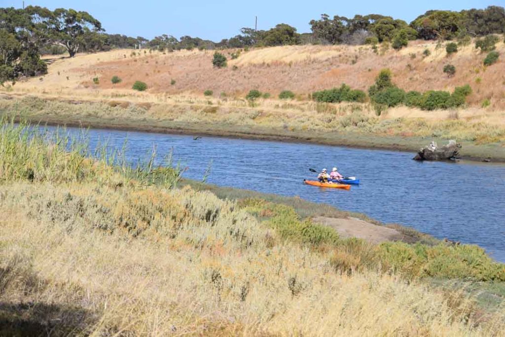
The river is a well used recreation area for those interested in water sports
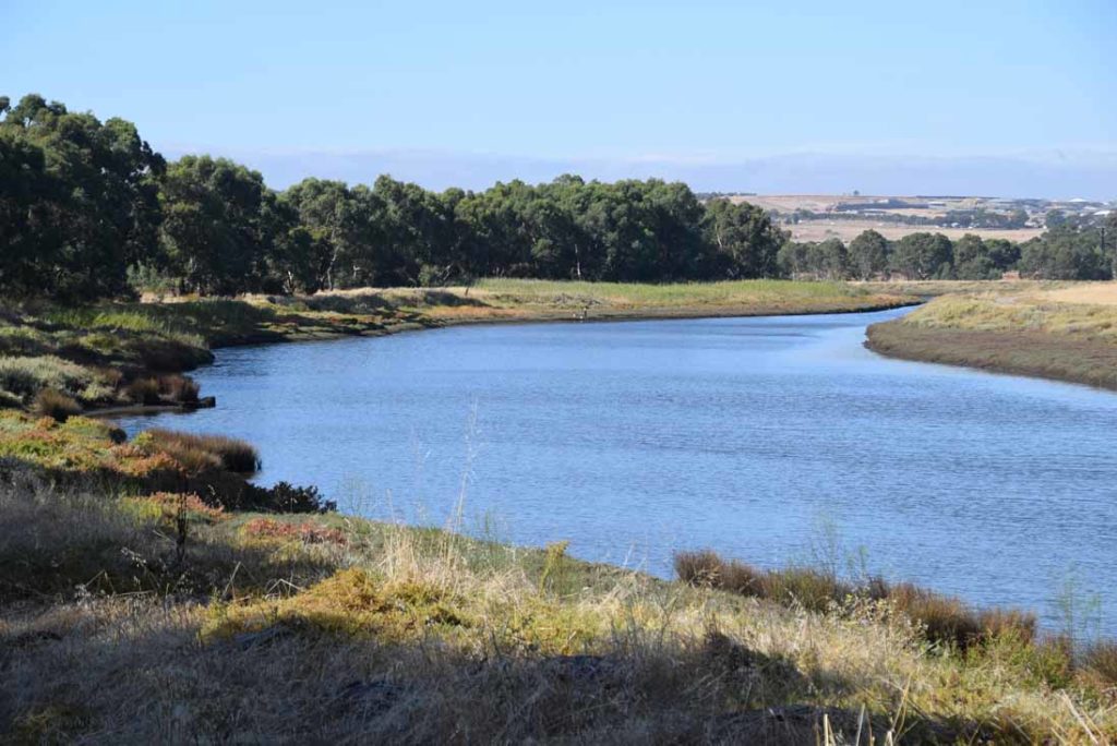
Onkaparinga River
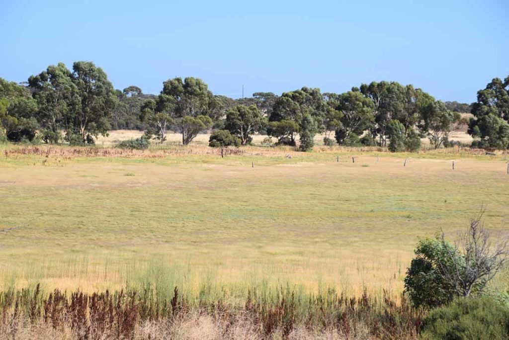
No so wet wetlands in late summer

Boardwalk over the main wet land
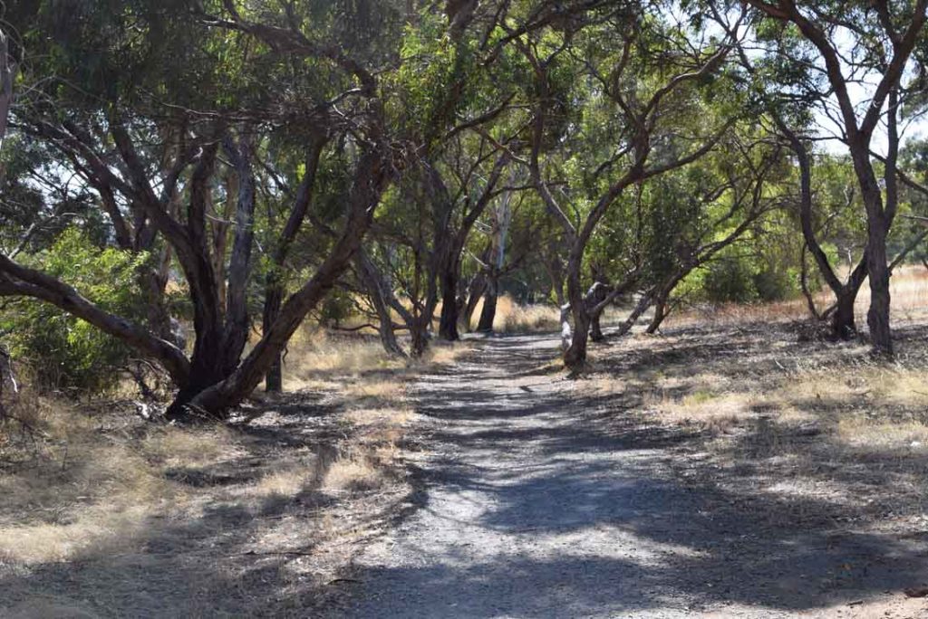
The trail varies and while it is well formed is passes though open areas and dense tree lined sections
Boardwalk over the main wet land
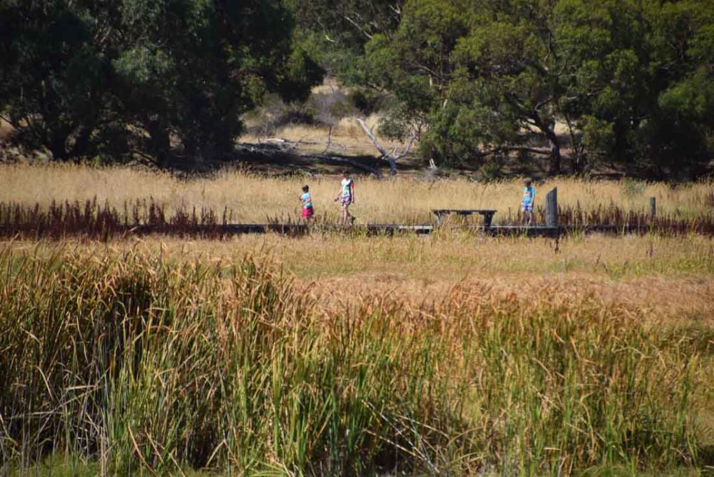
There were a number of families walking this trail on the day we came through. The trail is flat and easy to walk so is suitable for all ages
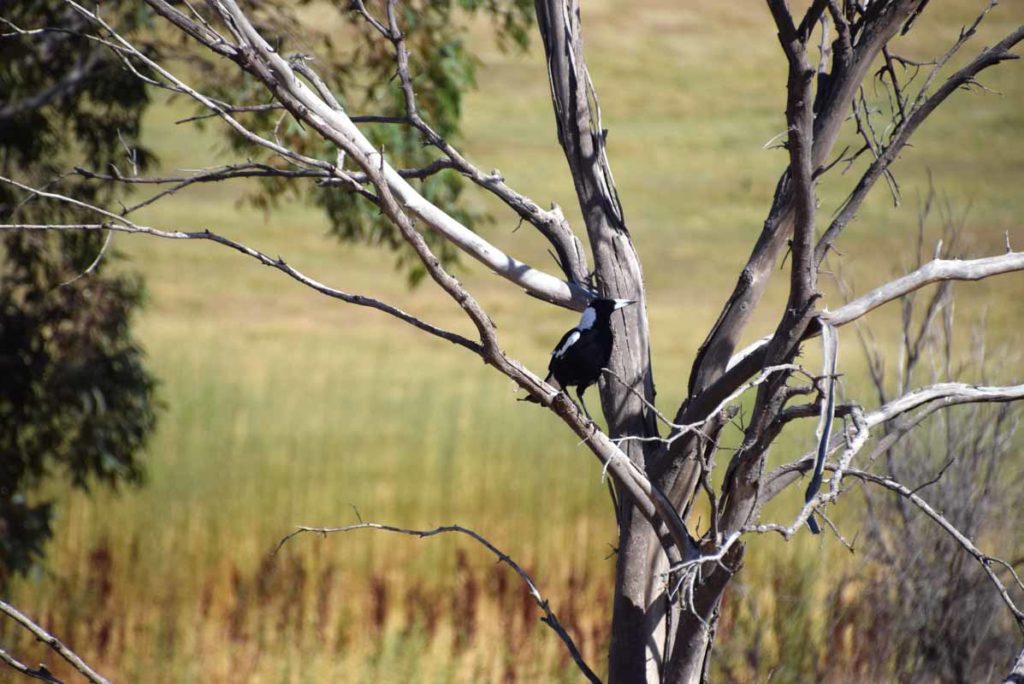
Magpie
Getting There
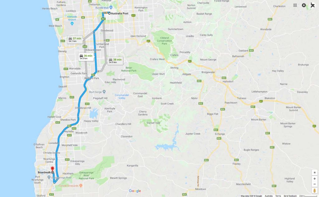
Google Map to the Wetlands Walk Loop trail head from the Adelaide GPO:
- Depending on your starting point head from Adelaide City down the Southern Expressway as if you are heading to Victor Harbour or Cape Jervis
- Turn right onto Main South road
- Then turn right onto River Road and follow the road until it connects with the Onkaparinga River at Perry’s Bend. This is your starting point
- The whole trip from the Adelaide GPO to the trail head is just on 35km
Trail head car park just off River Road
Things to Know
- Phone: There is excellent phone coverage on this trail (Telstra)
- Water: You need to bring your own water
- Toilets: There are toilet facilities at the trail head
- Trail: This trail consists of formed track
- Dogs: No dogs allowed on the main trail
- Camping: There is no camping on this trail
- Other:
- This walk is a circuit
- There are BBQ facilities at the trail head
- This trail is walkable year round but will be very dry during mid summer. The best time to walk is during the wet season when the wetlands will be full of water
Disclaimer
This walk was undertaken by the team from Australian Hiker