Mount Rogers Loop ACT (2.1km)
Urban Bushwalk
Nearest Town
Suburb of Flynn in Canberra
Starting Location
Jacob Place, Flynn, ACT
Finish Location
Jacob Place, Flynn, ACT
Best Time to Travel
Year round
Mount Rogers Loop Review
Canberra is a planned city that integrates green space into the city so many locals they have direct access to bushland a very short distance from their home. The Mount Rogers loop located in the northwestern suburb of Flynn, is very much an urban hike. It has been on my list for over a year now and for many reasons, we just hadn’t gotten around to doing it. We recently decided it was past time that we visited this popular site to see what everyone loves about it.
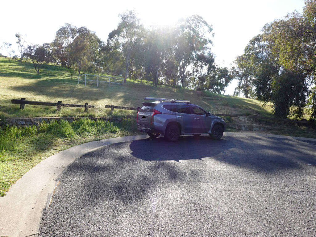
Like many similar summits in Canberra, you can start this walk from a number of different locations. If you don’t live in the area, the easiest and closet place to access the summit is from Jacob Place in Flynn.
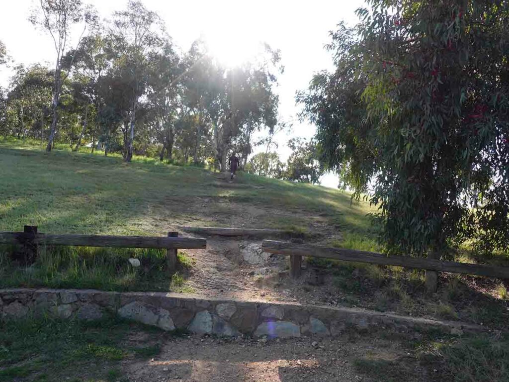
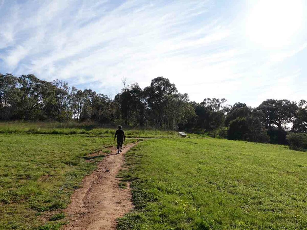
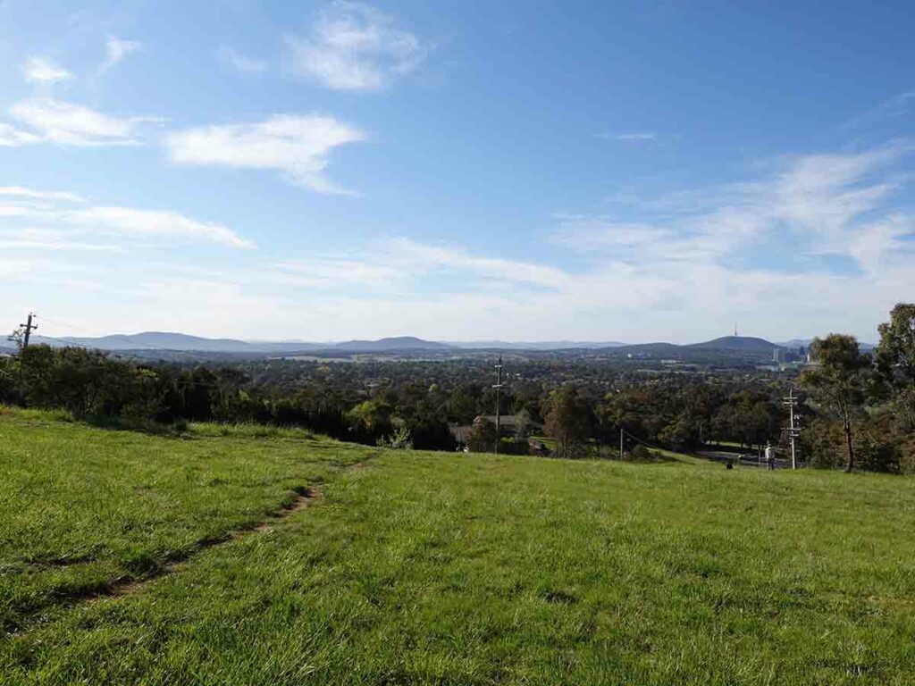
This walk consists of natural trail and management road. It is very much a ‘choose your own adventure’ with a main access trail running around the summit and a number of intersecting trails providing the option to do as little or as much of this trail as you like. You can either walk directly to the summit and return the same way or do a loop circuit which is what we walked. One of the things we love about these little urban hikes is that they provide access to views to parts of the city we haven’t seen before which is why these types of walk are great.
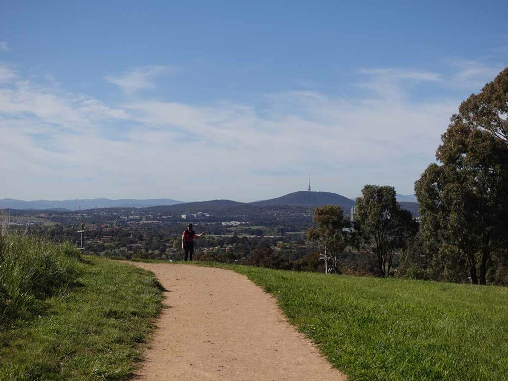
There are three levels of views on this walk. The first being just after you start, the second around the level of the telecommunications tower, and finally the views from the summit. Each of these viewing areas has something different to offer.
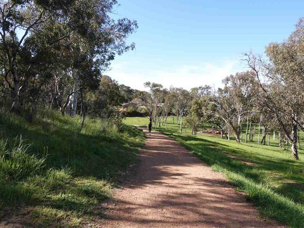
This trail consists of grassy areas and bushland. The hill is small enough that you hear traffic noise for much of the hike but you still get the feel you are in bush at least while you are on the upper trails.
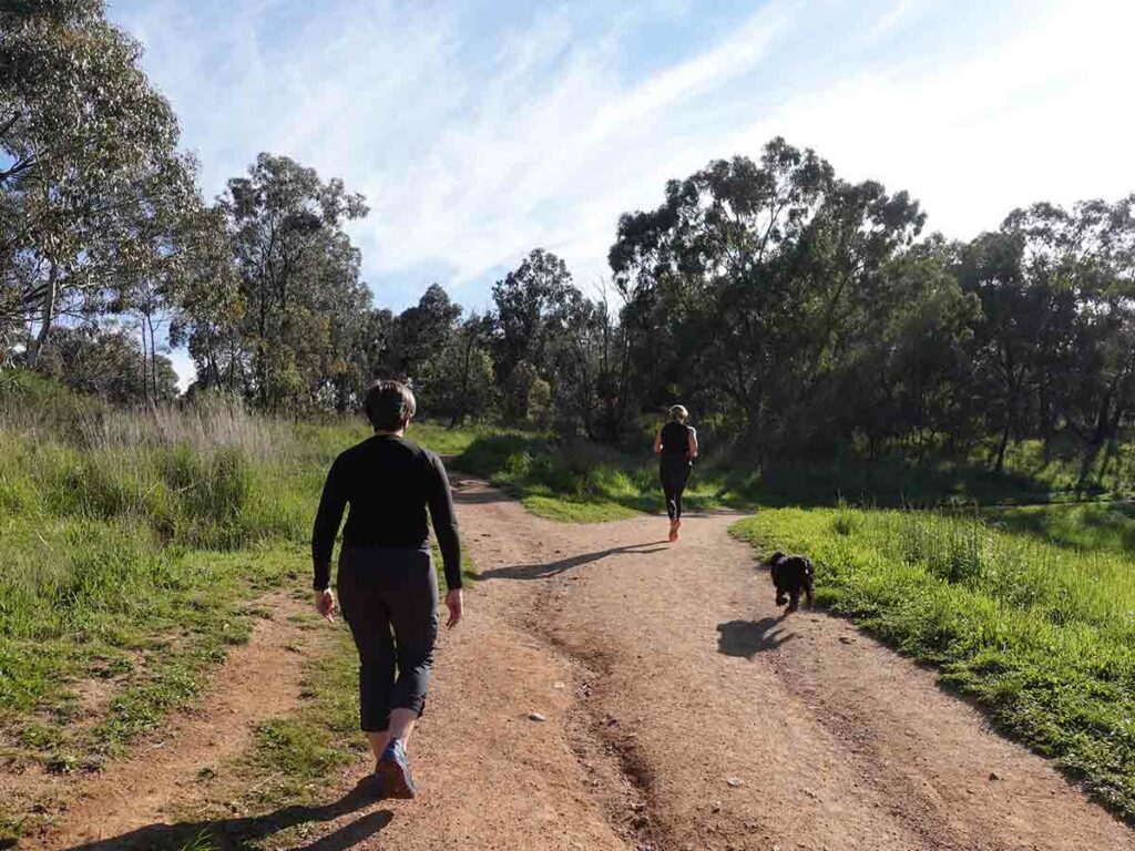
We came across kangaroos after just starting this trail but apart from that, wildlife mainly consisted of birds. You can also come across snakes on this trail during the warmer months as well. Dogs are welcome on this trail on leash and as usually occurs, we came across a number of dogs on leash but also a number off leash and roaming which is a bit of a risk if there are snakes around.
This is a lovely little walk at just over 2km in distance and even if its not your local hill, its worth visiting at least one.
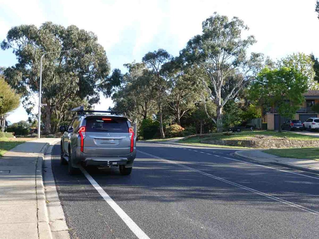
Turn into Jacob Place
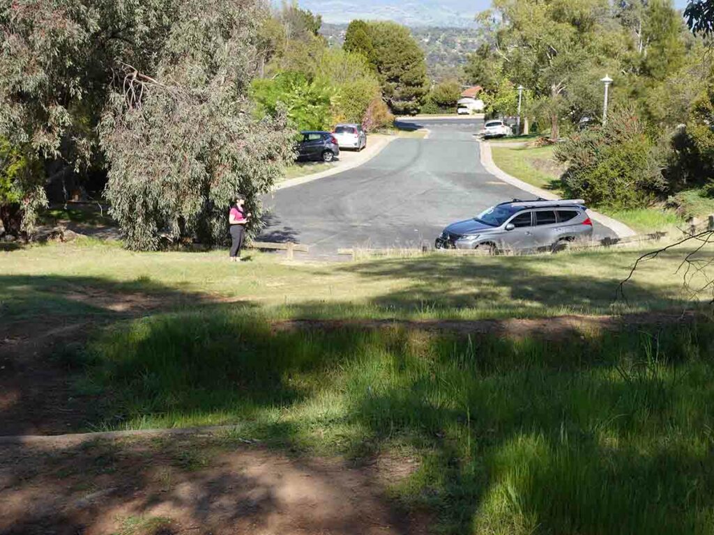
Park at the top of Jacob Place
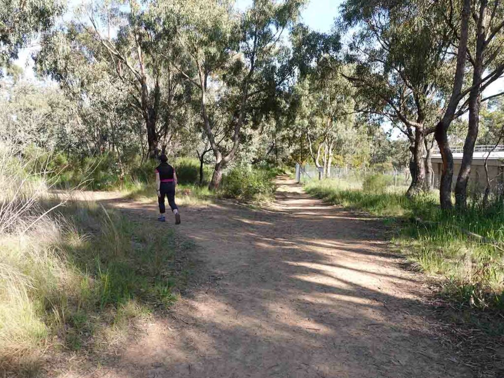
Trail start in Jacob Place
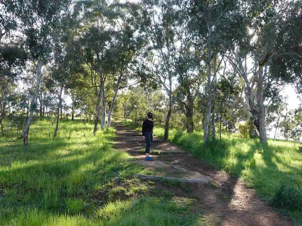
Trail example on Mount Rogers
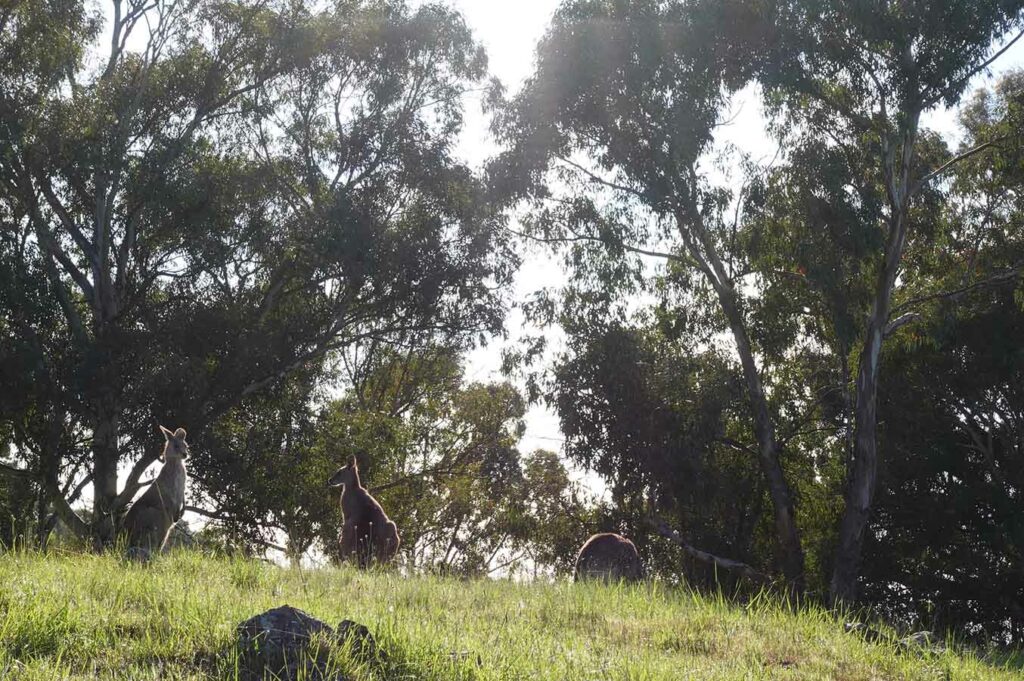
Kangaroos on Mount Rogers not long after the walk start
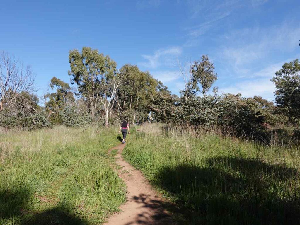
Veer to the right, essentially you are heading up hill which is obvious as you walk
Capeweed. It is a weed but its still attractive
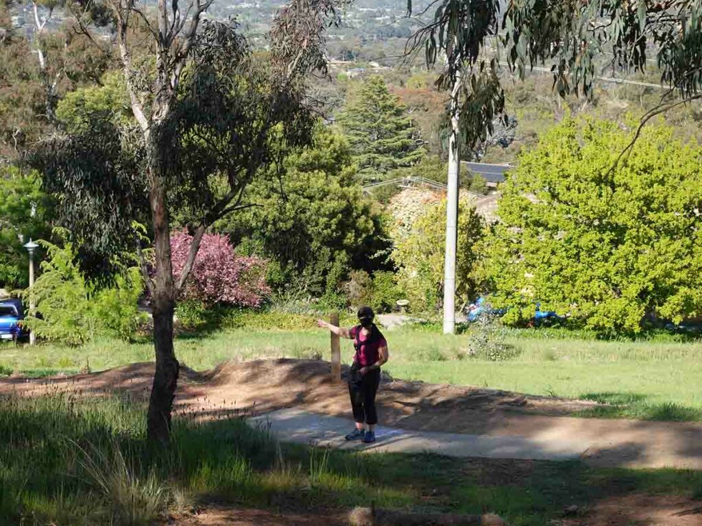
View across the suburbs
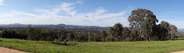
Panorama view at the start of the three main viewing levels
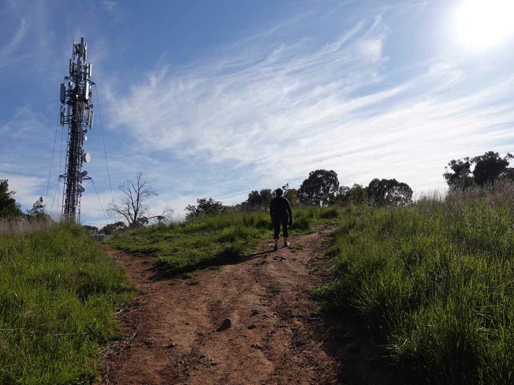
Veer towards the summit on the righthand fork. As you come do keep to the right which will take you past the telecommunication tower
Trig station Mount Rogers
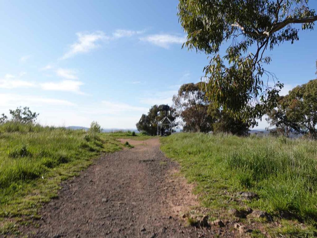
Trail example on the top end of the loop coming down from the summit
Looping back round. You have a number of options, just head downhill and you will hit the main management road
We took one of the smaller trails heading back down which gave us a walk just over 2km in length
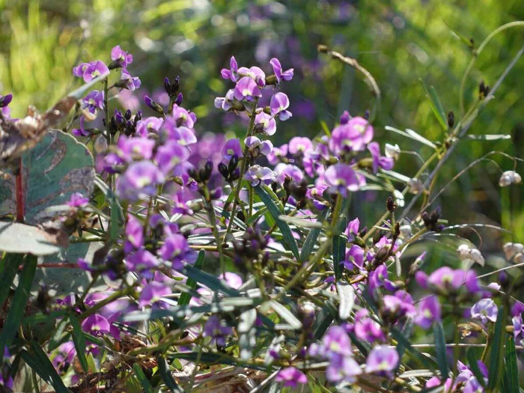
Hardenbergia in flower
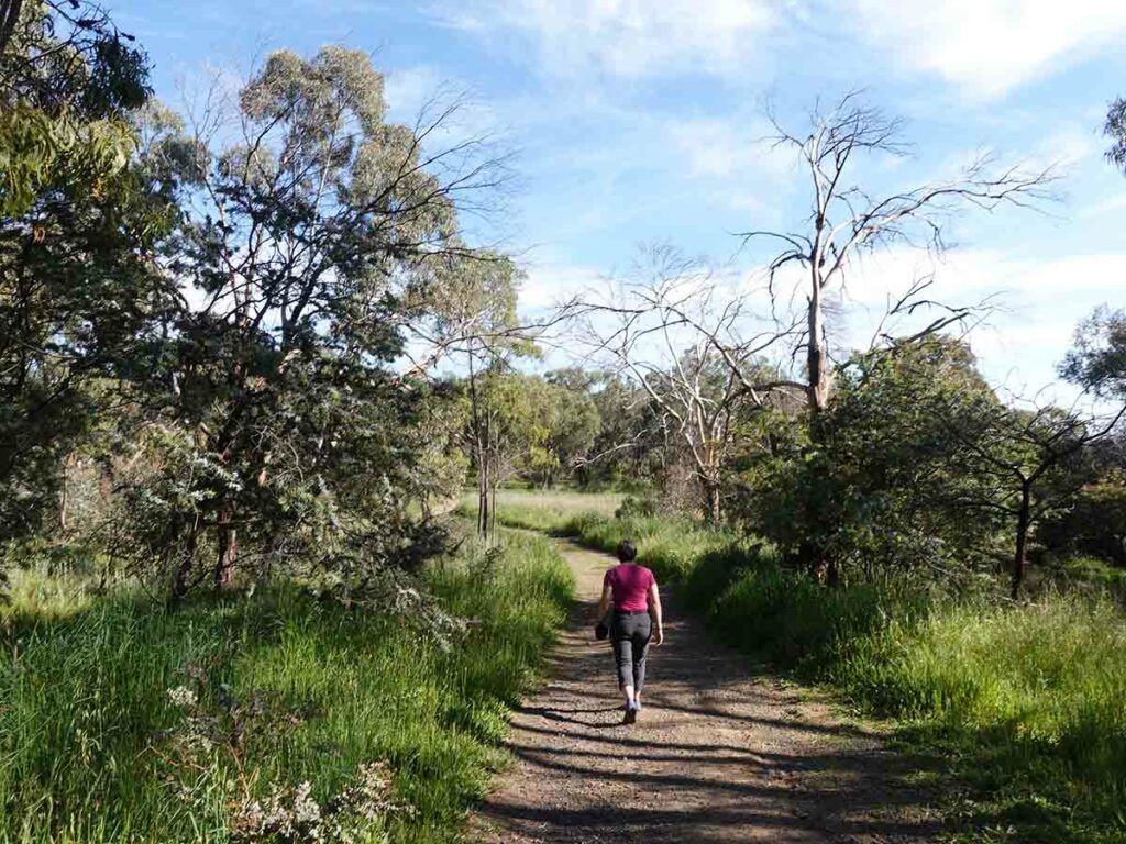
Down to the main management road just above the residential housing and heading back to our chosen trailhead in Jacob Place
Main trail back home
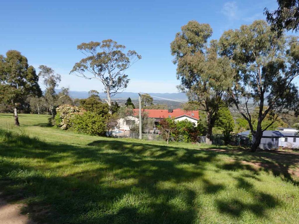
Adjacent houses
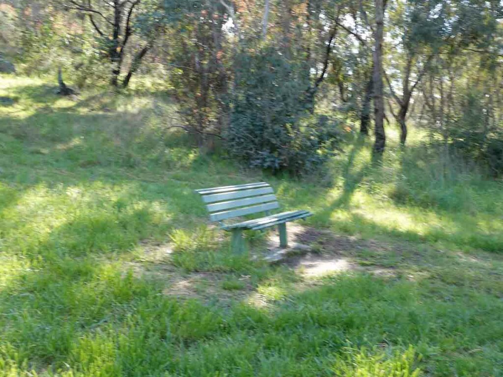
There are a number of seating options along this trail
Heading back to to trailhead. Black Mountain in the background
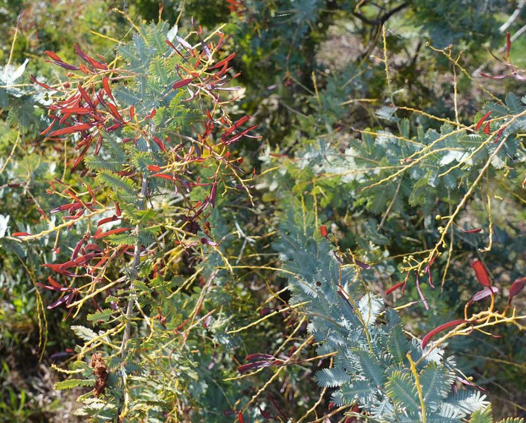
Wattle seeds forming. When they are new they are bright red in colour and stand out against the grey green foliage
Back to the traihead
Trail video
This short video provides a start to finish overview of this walk
Getting There
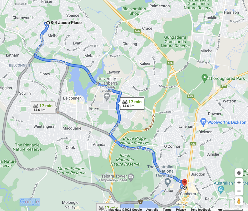
Google map showing the trailhead from the Canberra GPO. The trip from the centre of Canberra to the trailhead is approximately 15 km and around 20 minutes duration
Park at the end of Jacob Place
Things to Know
- Phone: There is excellent phone signal on this track
- Water: You need to bring your own water
- Toilets: There are no toilets on this trail
- Trail: This trail consists of formed track and management road
- Dogs: Dogs allowed on a leash
- Other:
- This walk is done in a loop and there are plenty of options to criss-cross the hill and explore
Disclaimer
This walk was undertaken by the team from Australian Hiker
Last Updated
30 May 2026
Jacob place