Crazy Crab – Flash Walk ACT (1.3km)
Majura Pines Recreational Area
Nearest Town
Majura, Canberra, ACT
Starting Location
Majura, Canberra, ACT
Finish Location
Majura, Canberra, ACT
Best Time to Travel
Year round but avoid this trail after heavy rains as it can be a bit boggy in some areas
Crazy Crab - Flash Walk Review
This trail is located in the Majura Pines recreational area close to the Canberra airport. Its an area I’ve only just discovered recently because it doesn’t appear on the local government list of walking trails so instead of being a designated walking trail, it’s a multi purpose trail with an emphasis on mountain biking.
This walk actually consists of two fairly short walks, the Crazy Crab and the Flash walks. We decided to combine the two into a loop/figure 8 walk that ended up being 1.3 km in length. Upfront this walk is never going to make our list of favourites as the traffic noise tends to intrude on you from Major Road (the access road to the trailhead) and the Majura Parkway on the other side. We did this walk after a few days of heavy rain so we had to be a bit nimble footed to get thorough a couple of areas where water was sitting across the trail.
The walk takes you through a short section of pine forest with the Flash walk being left of the trailhead and about 950 metres in length. Once you make your way back to the start you walk about 30 metres across the central trailhead and access the Crazy Crab walk which is a drier option if its been wet. The Crazy Crab walk also leads to a mountain bike jump training area so while you can come across bikes on both sides of this trail, you’re likely to encounter more bikes on the Crazy Crab walk. As such, do this walk early in the day to avoid most of the bike riders.
The trail itself is a formed dirt trail through pine plantation and the wildlife is very much non existent due to the constraints of the roads either side and the narrow section of pine plantation. To repeat myself, this walk is never going to make our top 10 list but its an opportunity for non bikers to have a walk if the family is making a day of it. In addition, there are two longer walks that take you onto Mount Majura, the Blue Loop and the Green Loop, that range in distance between 6 and 11 km – these walks get you away from much of the road noise and providing a more natural environment.
So while there are better options for short walks around the city, the Crazy Crab – Flash walk is worth doing at least once particularly if you live nearby or if you’re accompanying mountain bikers. If you’re a mountain biker, this is a great spot to go riding with the family.

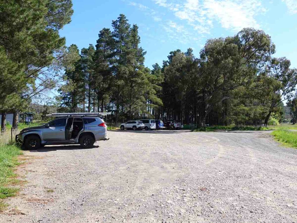
Car park at Majura Pines recreational area
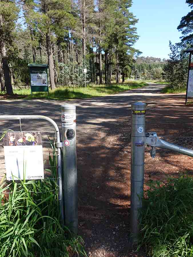
Trail entry
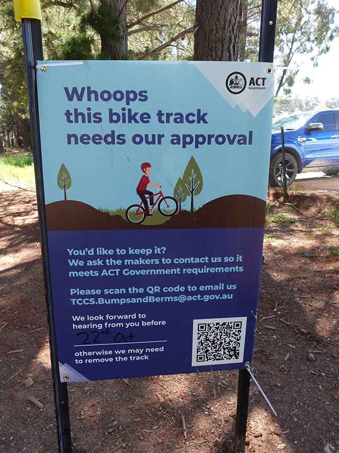
Whoops!
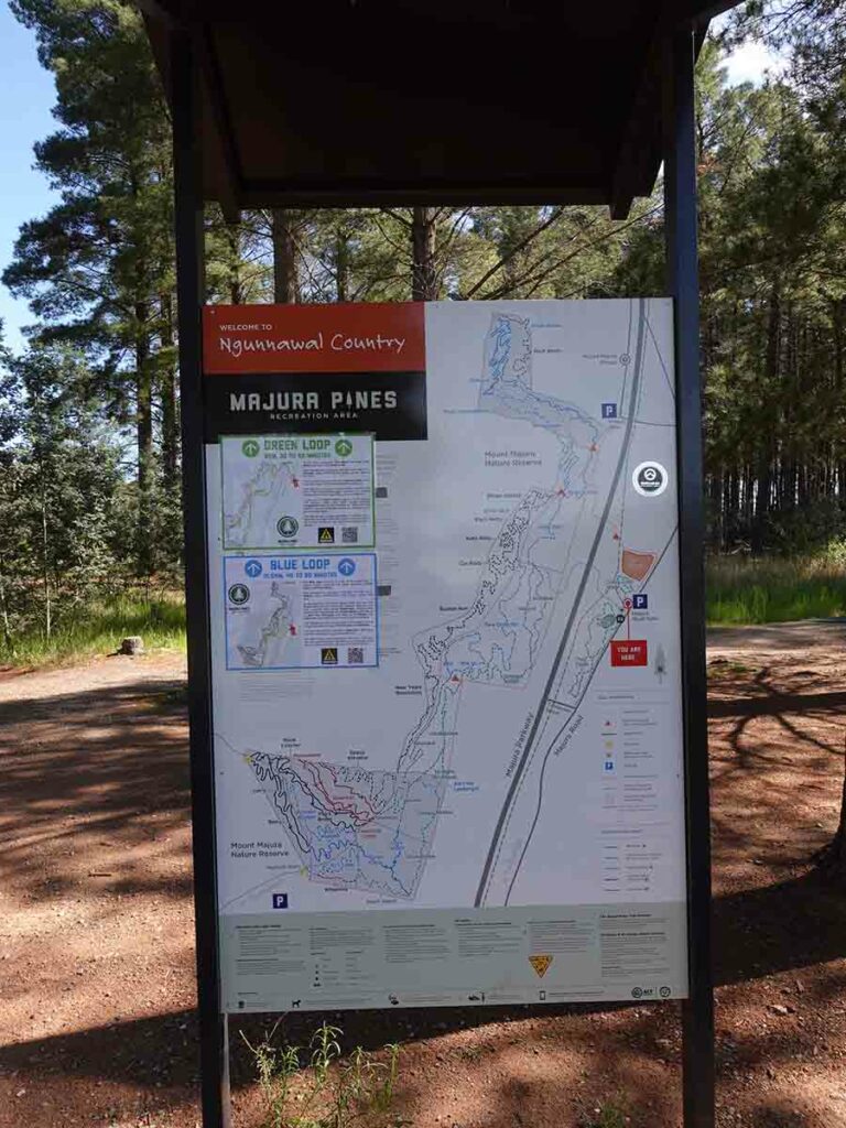
Trailhead kiosk
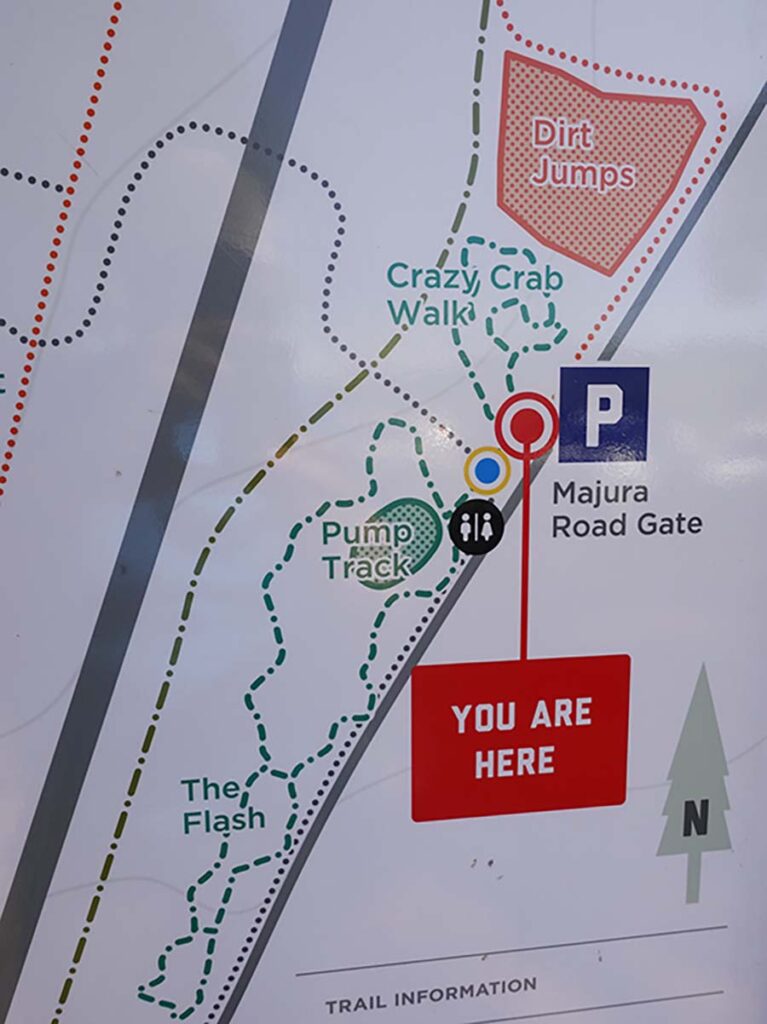
Close up of walk signage
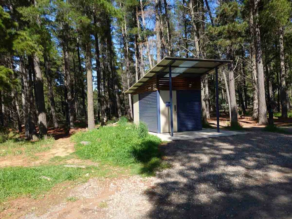
Toilet block
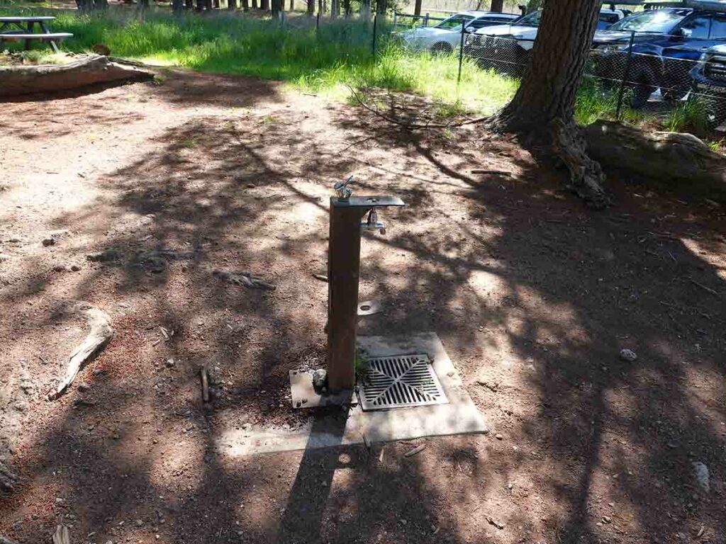
Water bubbler at the trailhead
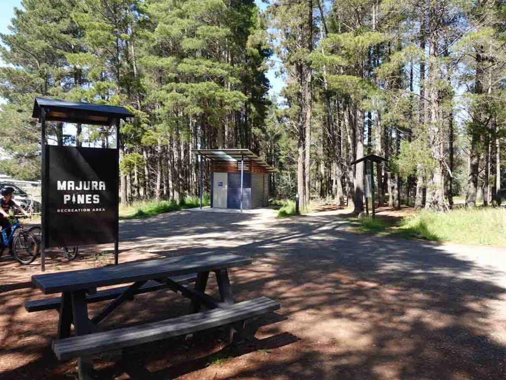
Picnic area at the trailhead
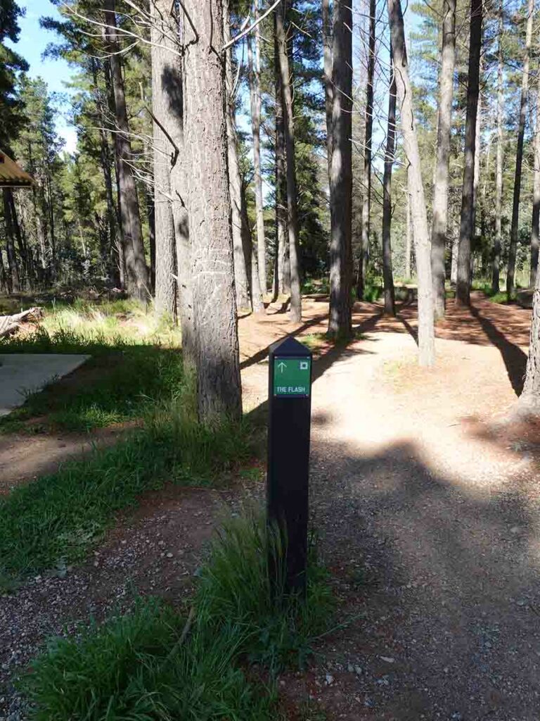
Flash trail entry
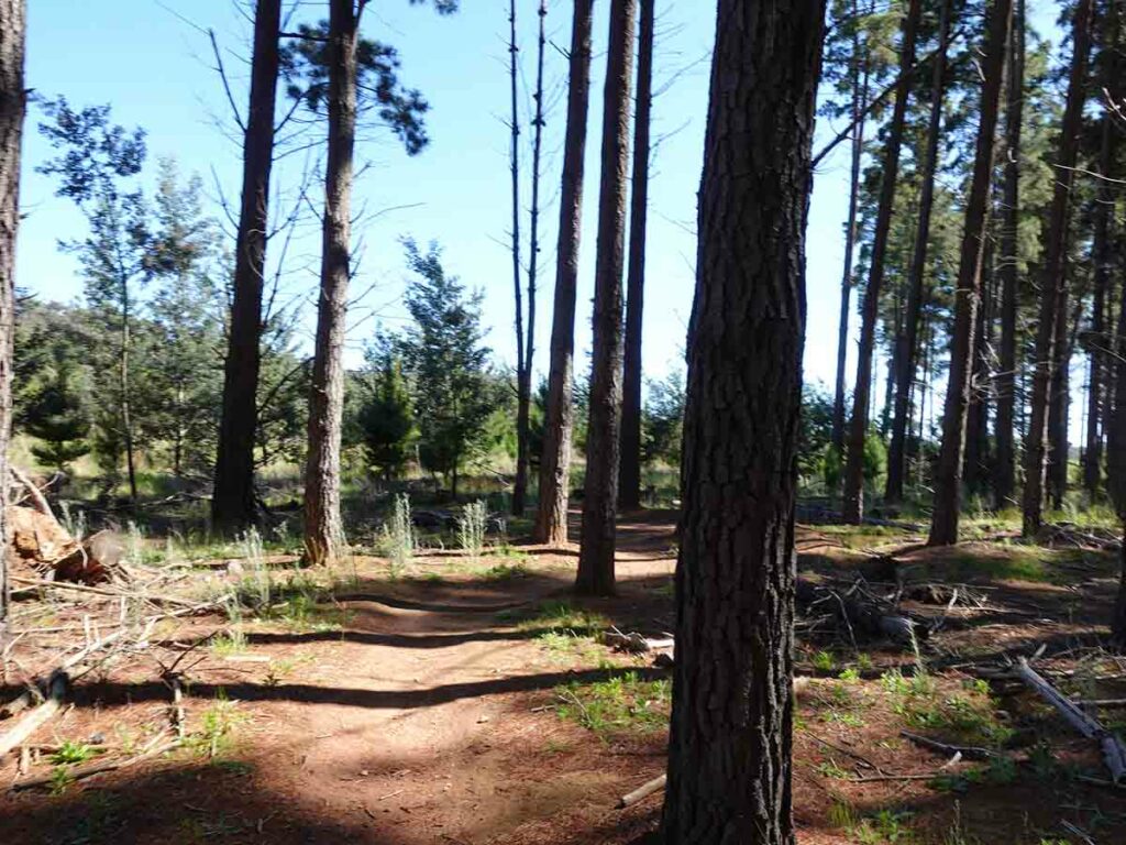
Trail example
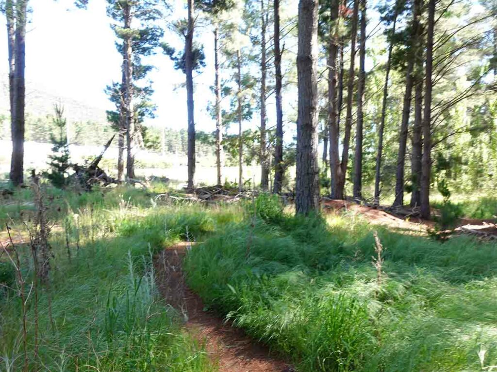
Trail example
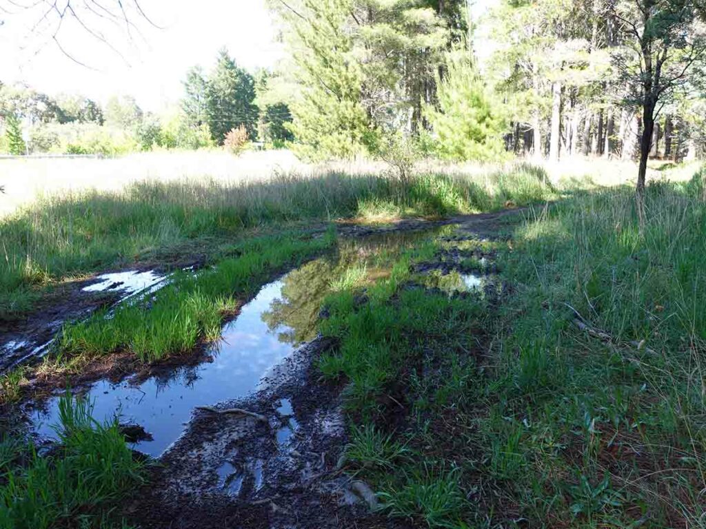
Water on the trail after heavy rains in the days prior to our walk
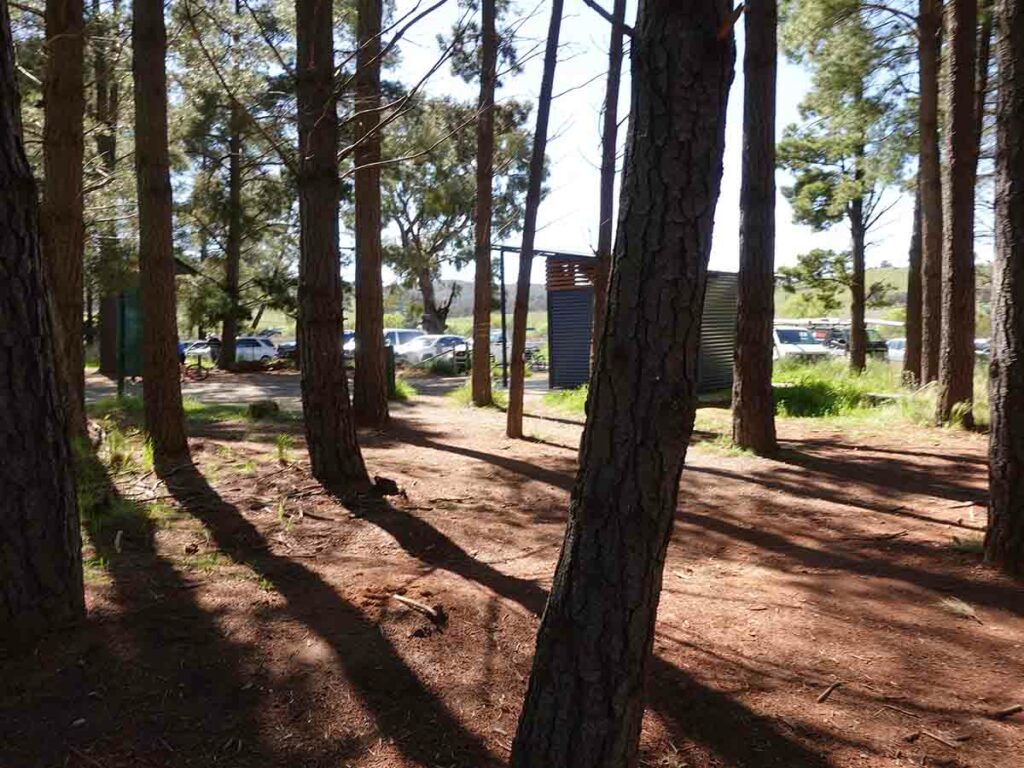
Return to the trailhead
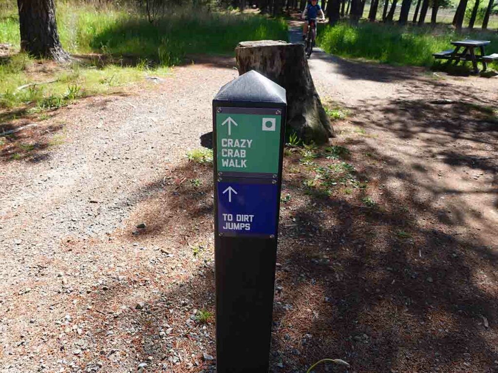
Crazy Crab walk, the second half of the loop
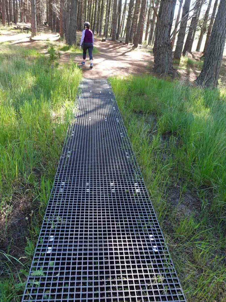
Entry into Crazy Crab walk

Panorama shot on the Crazy Crab – Flash walk
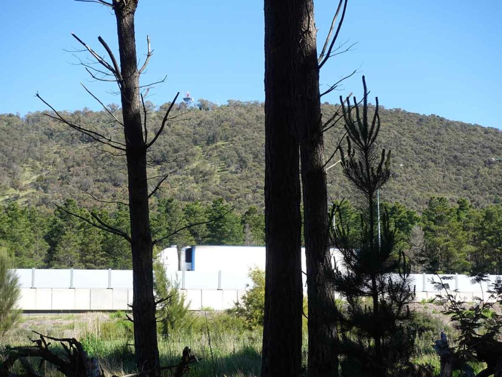
Nearby Majura Road
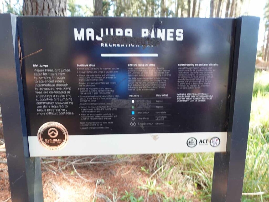
Mountain bike jump area signage
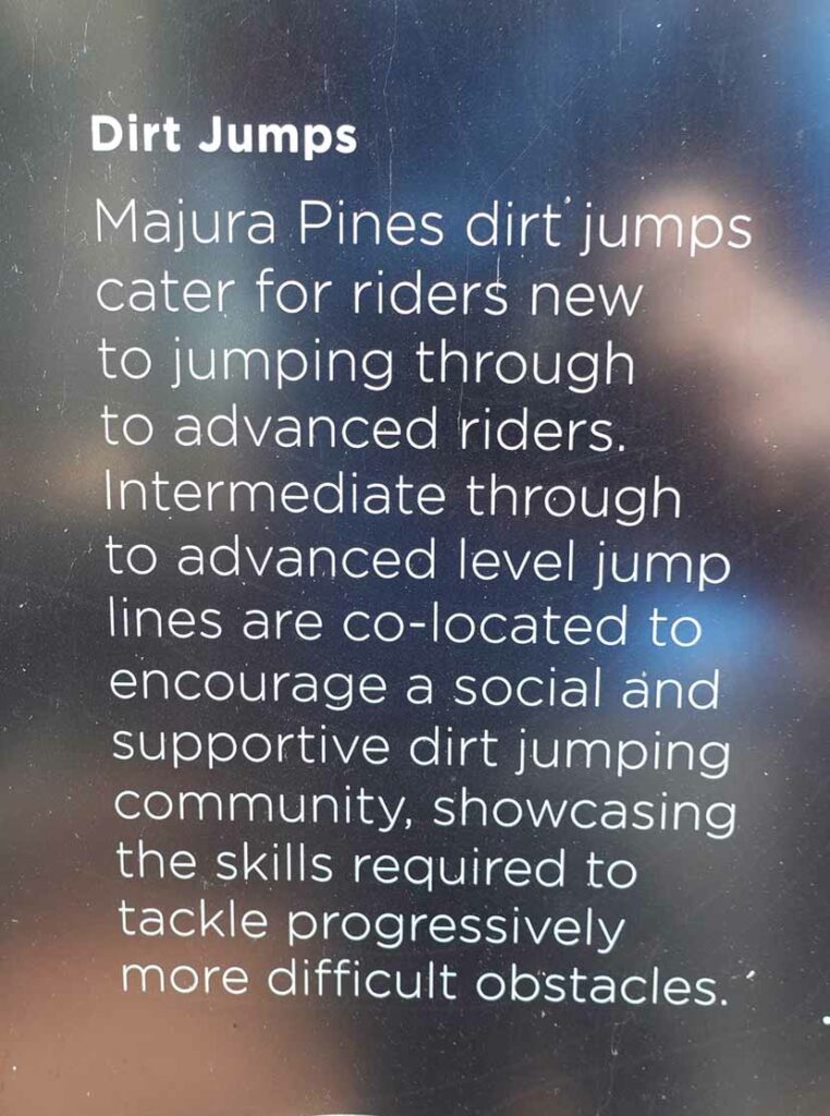
Close up for jump information
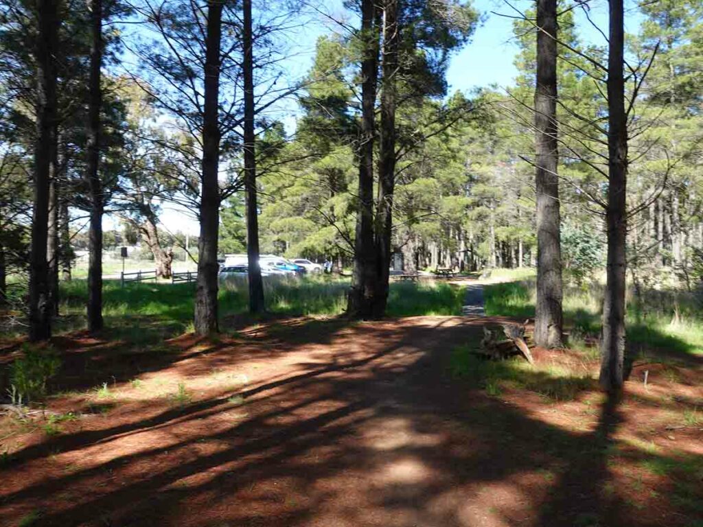
Returning back to the trailhead for a second time – this walk is essentially a figure 8 or loop walk
Trail video
This short video provides a start to finish overview of this walk
Getting There
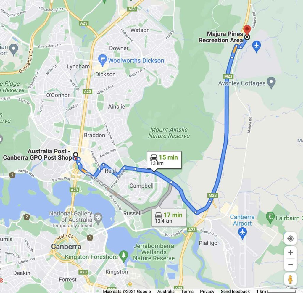
Google map showing the trailhead from the Canberra GPO. The trip from the centre of Canberra to the trailhead is approximately 13 km and around 15 minutes duration
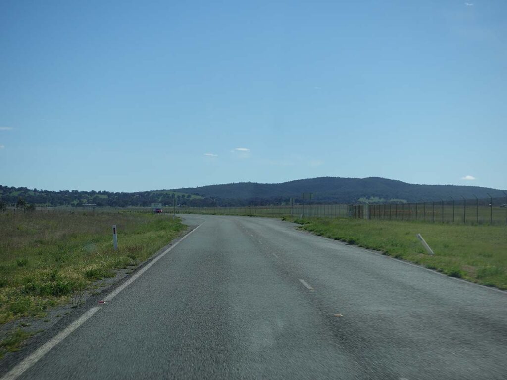
Heading along the access road
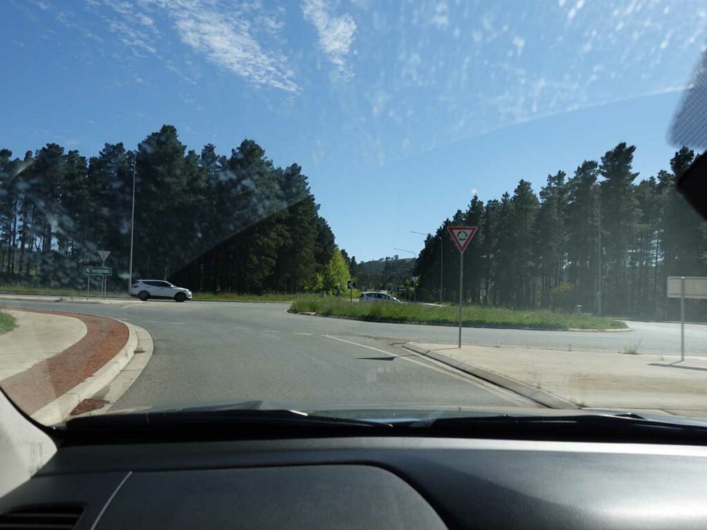
Heading towards the trailhead

Trailhead car park
Things to Know
- Phone: There is excellent phone signal on this track
- Water: There is a water bubbler at the trailhead
- Toilets: There is a toilet at the trailhead
- Trail: This trail consists of formed track
- Dogs: Dogs allowed on a leash
- Other:
- This walk is done in a loop
Disclaimer
This walk was undertaken by the team from Australian Hiker