Huon Hill Summit Walking Track VIC (4.3 km)
Wodonga VIC
Nearest Town
Wodonga, Victoria
Starting Location
Park along the road near the intersection of Summit Drive and Timberline trail (Wodonga). The management road is gated so you will need to walk from here
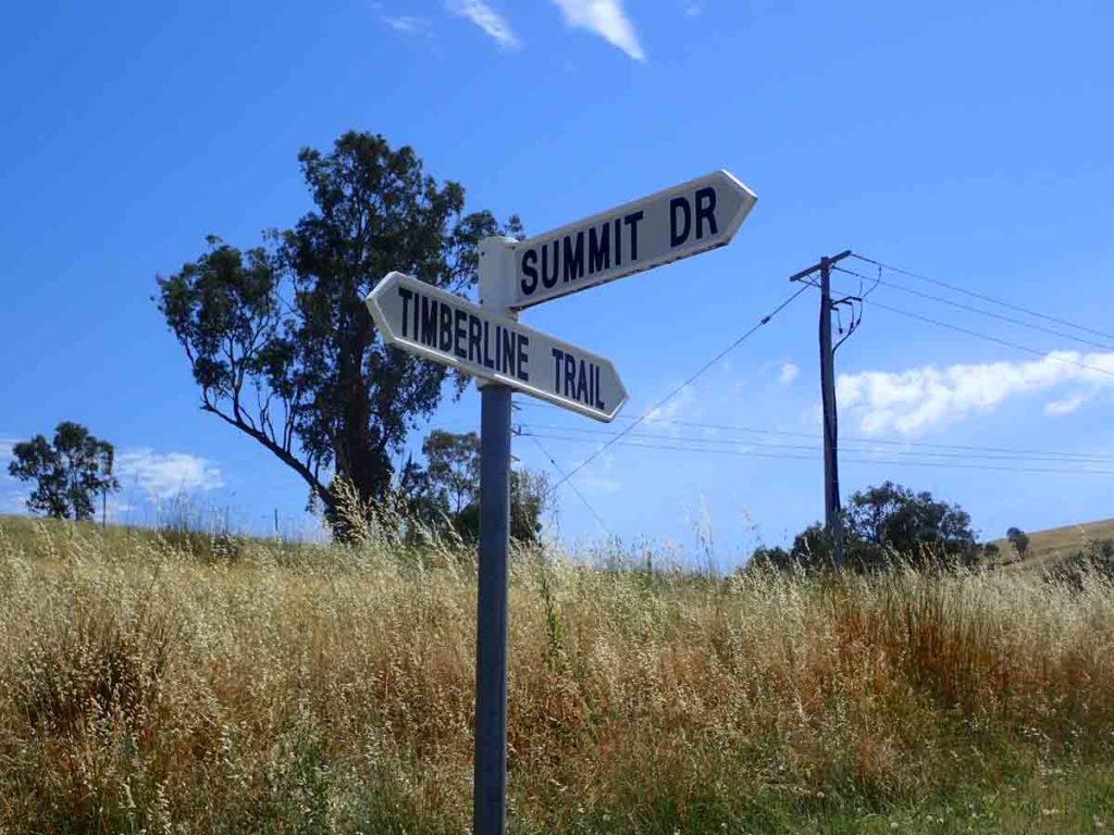
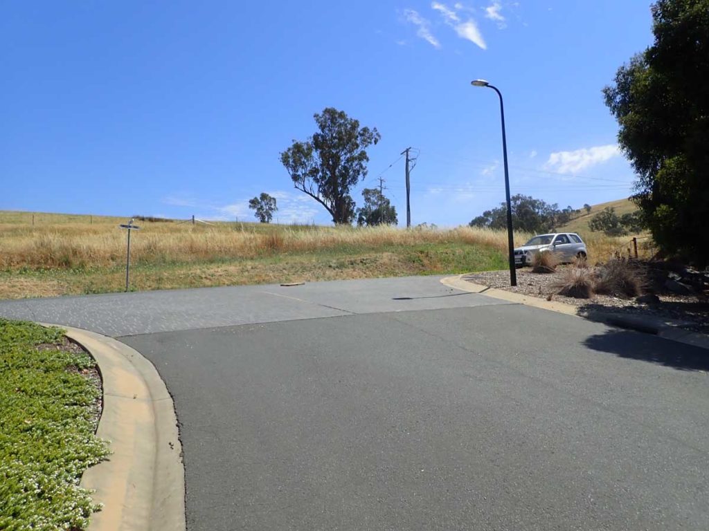
Parking along the road. Turn right is your best choice
Finish Location
The intersection of Summit Drive and Timberline trail (Wodonga).
Best time to Travel
Year round, mid summer can be a bit hot during the middle of the day
Huon Hill Summit Walking Track Summary
This is an easy summit walk in Wodonga, Victoria and a good one if you are short on time or just passing through. Like many summit walks you park along the road and head onto the management road before heading up the But But Track towards the summit. Once you go past the management gate you walk along the dirt road and then turn left about 70 metres into the walk. Go through another small turnstile gate and head up the hill. When we did this walk in early December the track was not well worn but you could just make it out. The hardest part of this walk is the first section as you head up the hill an as we did this walk around lunchtime the heat was pretty oppressive as there is not a lot of trees to provide shade.
Once you read the peak of the first rise you again walk along management road and here is where you are presented with a choice. You can choose to go up to the Summit of Huon Hill or instead go around to the main recreational facility on the management road which is what we did. The recreational facility has a toilet and excellent picnic facilities (no BBQ) which would be a great place to stop for a food break. From the recreational facility continue a short way up the adjacent hill which provides the best views over the twin cities of Albury and Wodonga. At this stage you will notice a number of other walking tracks leading up to the hill from different directions including the She Oak Track, the Bundy Track, and the Stringy Bark Track. The connecting Mistletoe leader Track is also located further down the Hill.
This walk is by no means a ‘bushwalk’ but rather an urban walk on the edge of Wodonga. There is some wildlife on the track but not as much as I would have expected but really you are doing this walk for the views and given that this hill sits between the two cities this is a great option.
Once you have spent your time having a look around the surrounding region head back down to the car. The steep walk on the way up is also noticeable on the way down so if you have knee issues either take it slowly or bring a set of hiking poles.
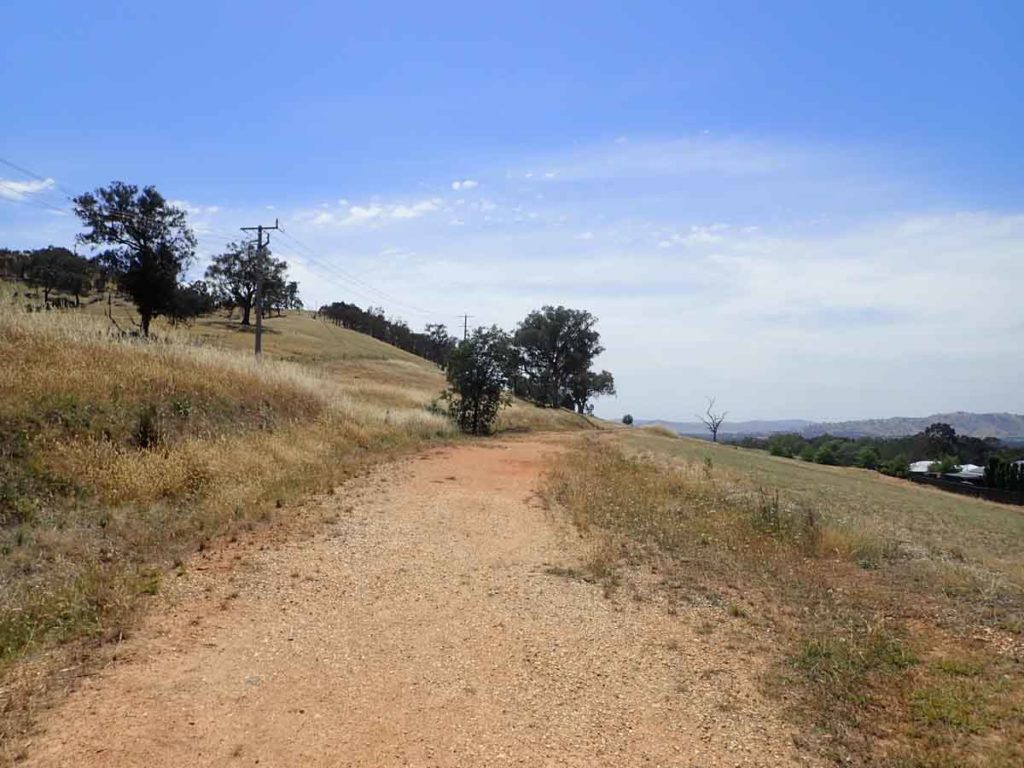
Go through the gate and walk along the management track for about 70 metres
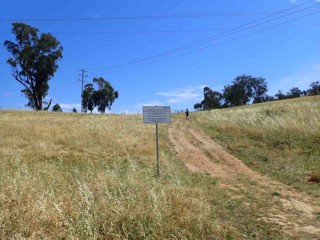
Turn left off the road towards the start of the But But Track
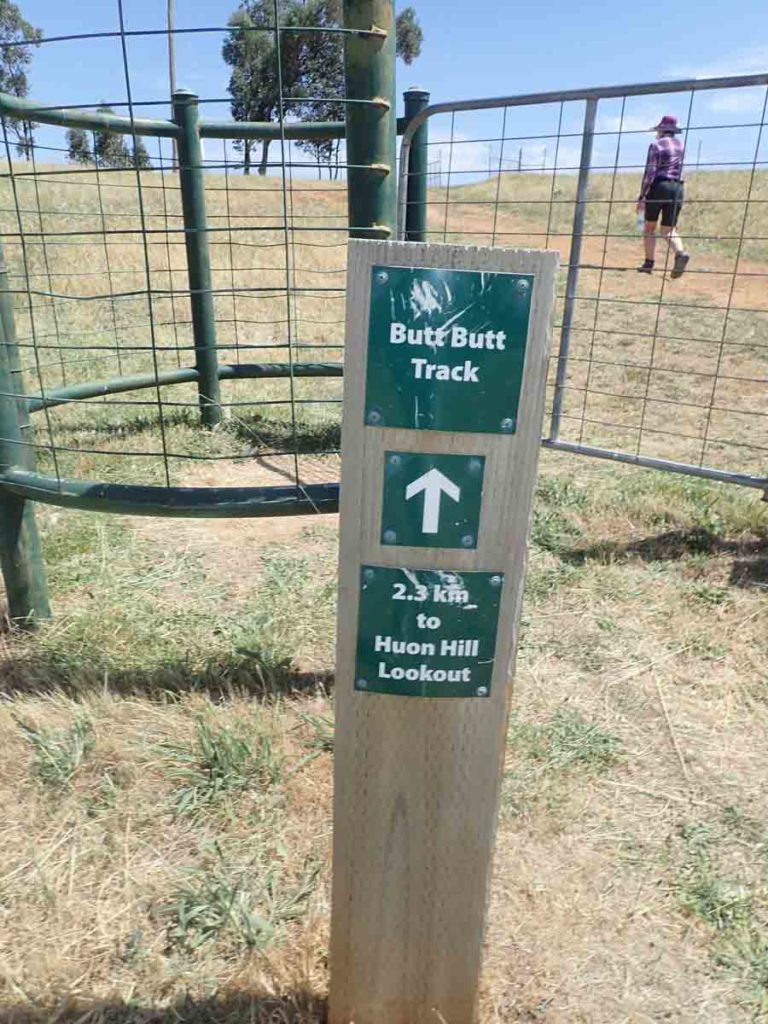
Go through the gate and head towards the right up the hill
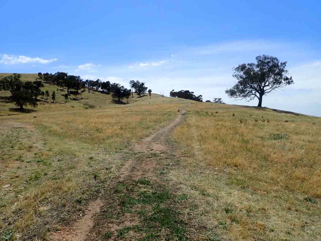
Head up the worn track. It’s not obvious but you can see it so long as you pay attention
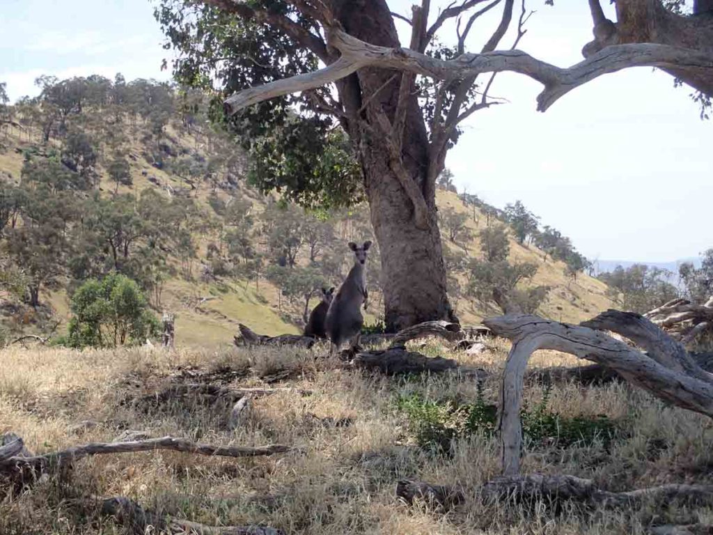
Friendly faces. Mum and older Joey
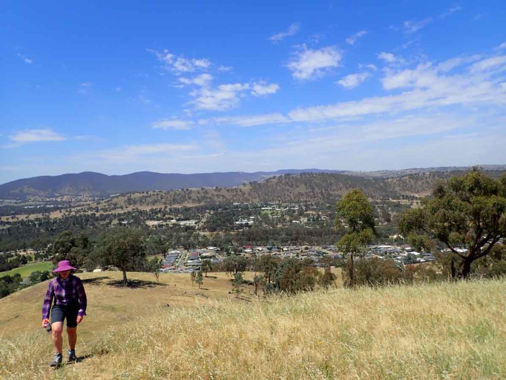
The steepest bit of the track with the suburbs of Wodonga below
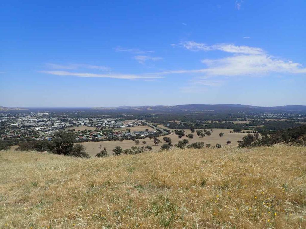
Views down towards Albury on the other side of the hill
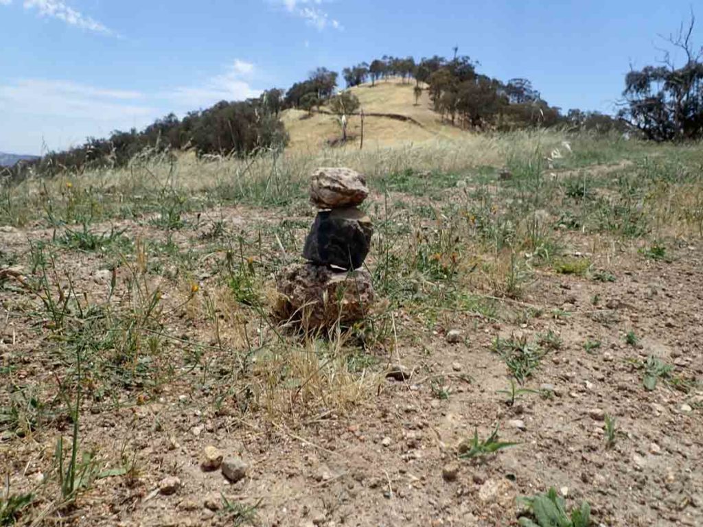
This little rock cairn marks the turnoff point
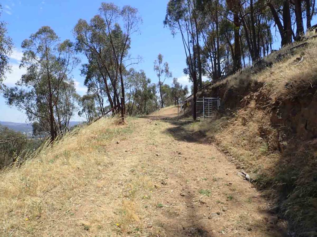
Head up the road – option 1
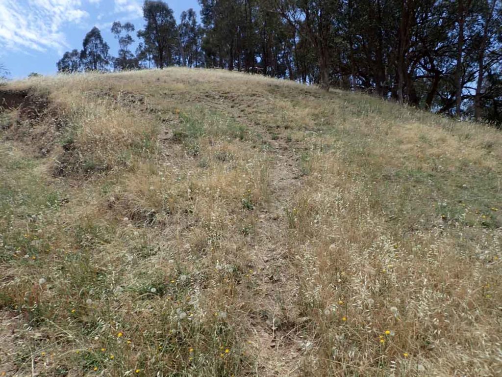
Head up Huon Hill proper – option 2
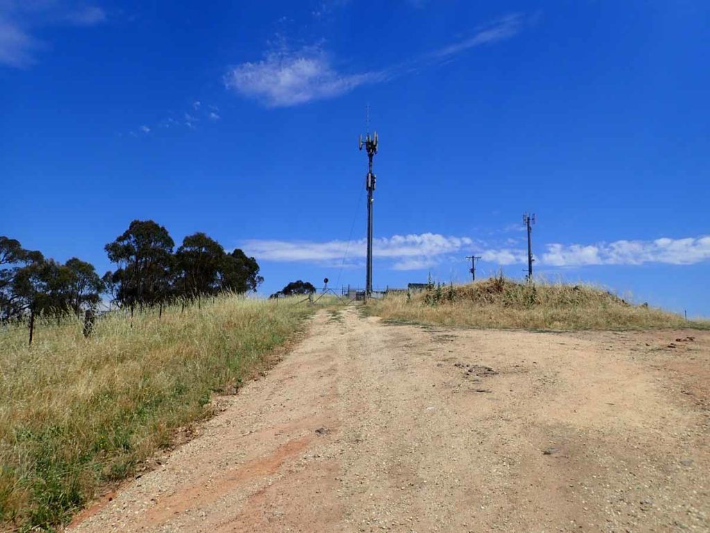
Houn Hill summit as you head past this turn and on to the recreation area
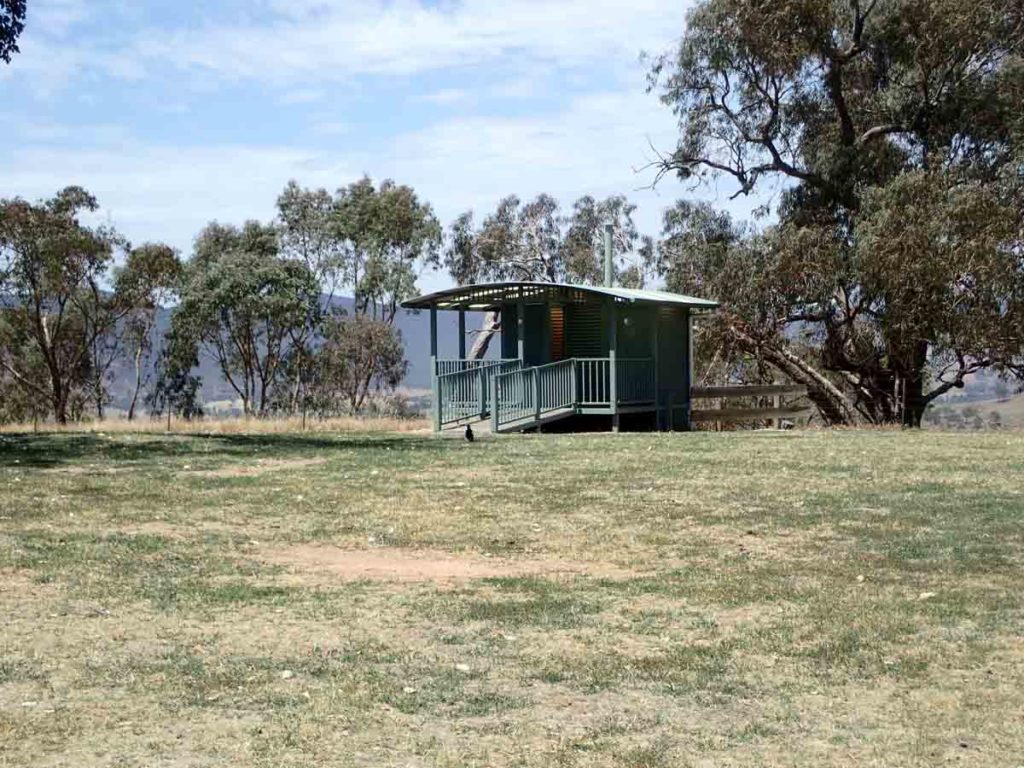
Toilet facilities at the recreation area
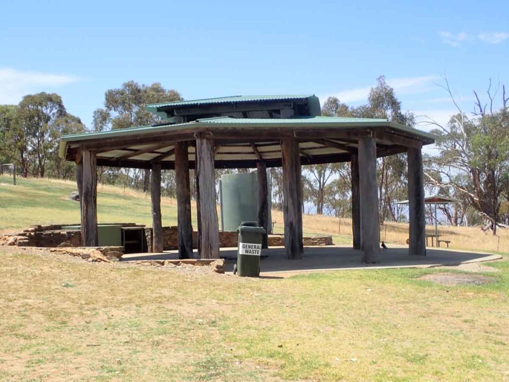
Main picnic shelter at the lower summit area
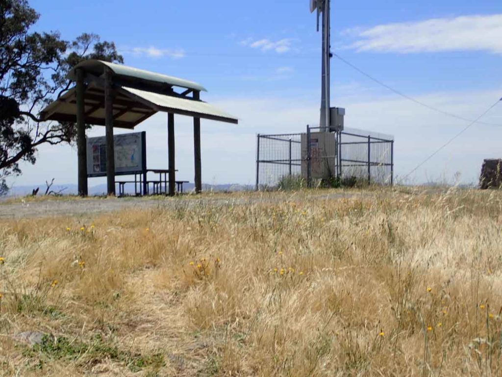
Shelter on the main summit
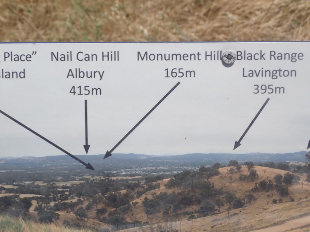
Interpretive signage at the main summit
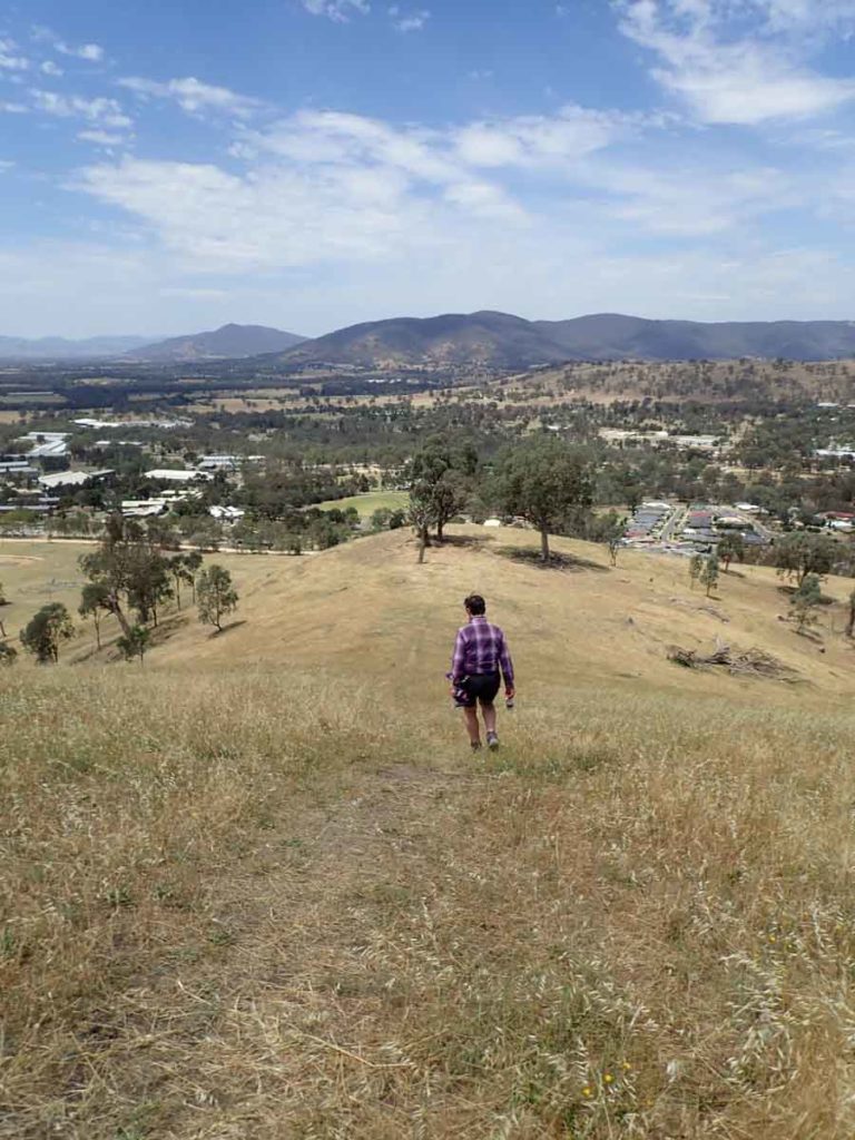
Back down the hill. This little section is quite steep but the trail tread is good. If you have bad knees bring trekking poles or take it slowly
Getting There
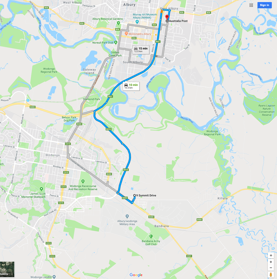
Google Map to the parking are for the Huon Hill Summit walk.

Park along the road either side of this intersection

Parking along the road
Things to Know
- Phone: Phone signal is variable on this trail(Telstra), data signal is variable
- Water: Bring your own water
- Toilets: There are no toilets on this trail
- Trail: This walk is on formed trail
- Camping: Camping not allowed
- Other:
- While this is not an overly long walk there is one really steep section that will provide a workout towards the top of the first rise
Disclaimer
This walk was undertaken by the team from Australian Hiker