South Aranda Woodland Walk ACT (2.8km)
Canberra Nature Reserve
Nearest Town
The closest suburb to the trailhead is Aranda, ACT
Starting Location
Trailhead along Caswell Drive, ACT. This car park will cope with 20+ cars
Finish Location
Trailhead car park along Caswell Drive, ACT. You can also enter this car park and turn right – you will save about 800 metres (400 metres each way) on this walk by parking next to fence with the stile
Best Time of the Year to Walk
Year round. Avoid peak hour to allow for easy car park access
South Aranda Woodland Walk Review
Just when you think you’ve done all the walks in your area, a new one comes along. This is another walk located within less than 10 minutes drive of the city centre and is easily doable by hikers of all levels. Just to be clear, the designated name for this walk is the Ian Loiterton South Aranda Woodland Walk, but for ease of use we have stuck with the shortened version of the South Aranda Woodland Walk.
The walk starts just adjacent to the base of Black Mountain on the left side of Caswell Drive, past Glenloch Interchange. You need to approach this walk from the correct side of the road otherwise you will have to park and walk under an underpass which adds a little extra distance. Caswell Drive is busy during peak hour so it’s best to avoid doing this walk at that time.
All up this walk is 2.4 km if you start from the main car park but this can be shortened turning right when entering the car park and parking at the car park near the stile which will save you 400 metres each way however there is limited parking at this location.
If you’re feeling enthusiastic and want to make a day of it, you can also do the longer Frost Hollow Walk which starts at the same trailhead. Once you cross the stile over the fence the signage is apparent, apart from the missing sign right at the start of the trailhead. Whereas you go straight ahead for the Frost Hollow Walk, the South Aranda Woodland Walk heads to the right and has its own specific brown and white arrows.
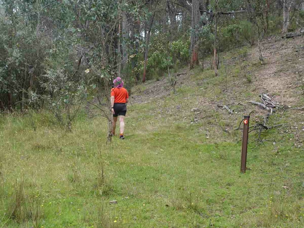
On the day we did this walk the trail was very much brand new and as such, the trail wasn’t yet ‘worn-in’ which will happen over time. While the signage is obvious, occasionally you will need to scan around to find the next directional arrow.
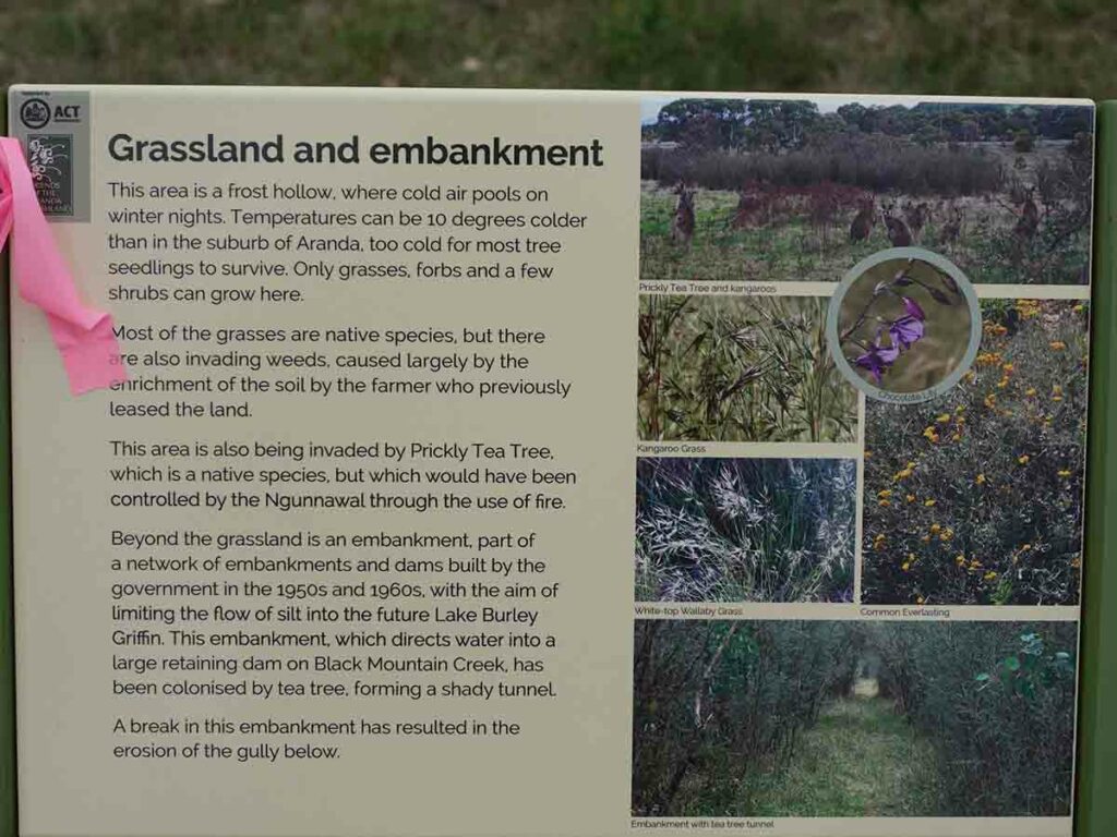
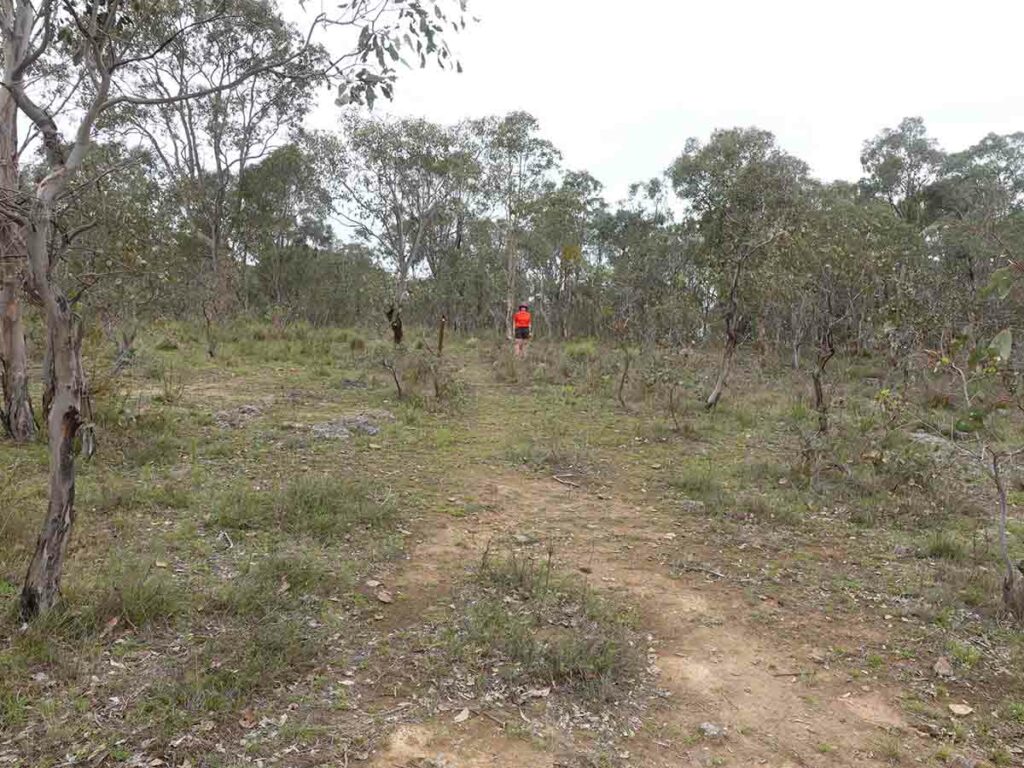
Shortly after you start this walk you head from open grassland and into bush area. At this stage there is a series of flat rocks to help you cross over an area that is prone to wet weather, in fact, if you did this walk after heavy rain you may end up getting wet feet.
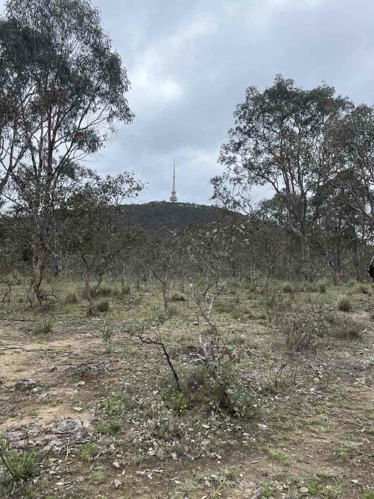
The walk continues in out and out of the trees and open grassland before reaching the highest point of the trail which provides the best view of the adjacent Black Mountain Summit with its prominent tower. From this highpoint the trail loops back round before returning to the trailhead. During the walk we passed a group of resting Kangaroos who seemed to be trying to work out what we were doing there.
All up this walk took just on an hour. This walk is shorter than the 4.3 km Frost Hollow Walk so if you’re short on time it offers a shorter, but different experience .
My only comment would be that the flies were merciless on the day we walked so if you’re doing this walk in summer I suggest you wear long clothing and use insect repellent or else bring a head net to keep them away.
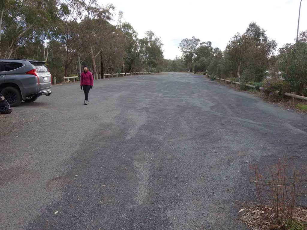
Trailhead start at the end of the car park
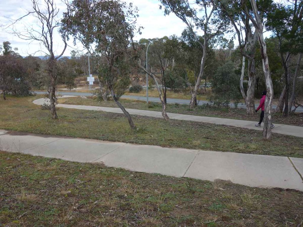
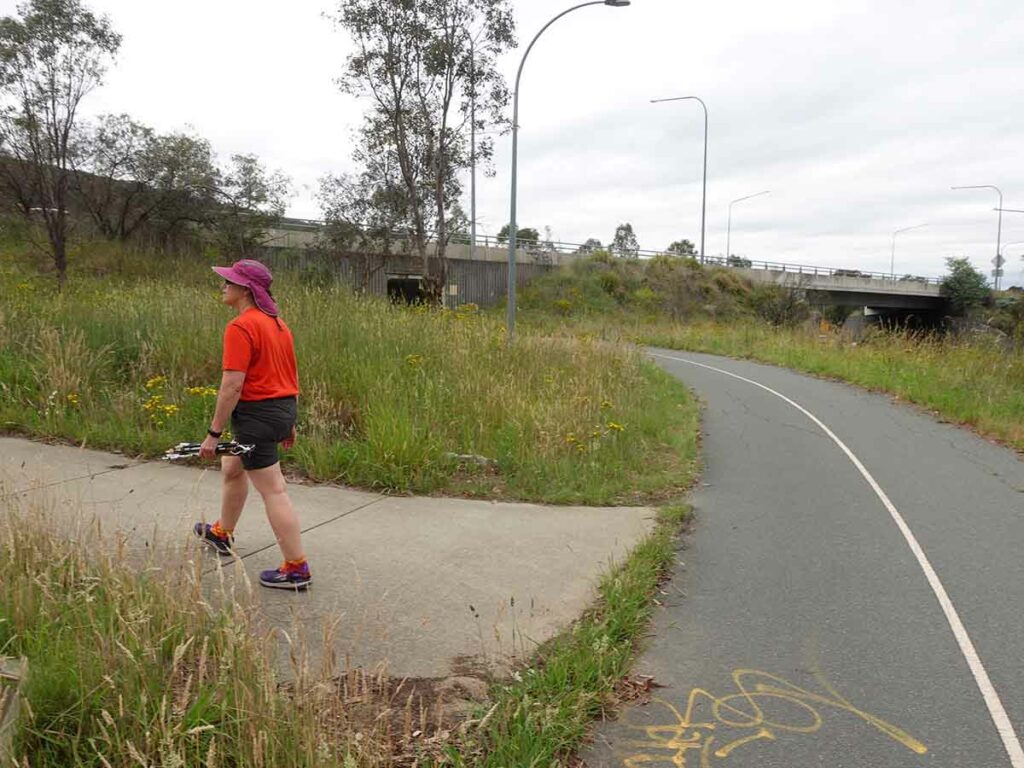
Make your away along the path to the walk proper
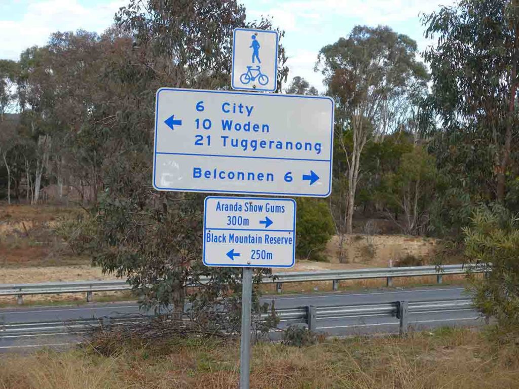
Follow the signage towards the Aranda Snow Gums for the trailhead proper
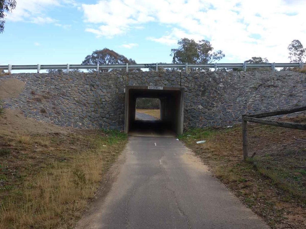
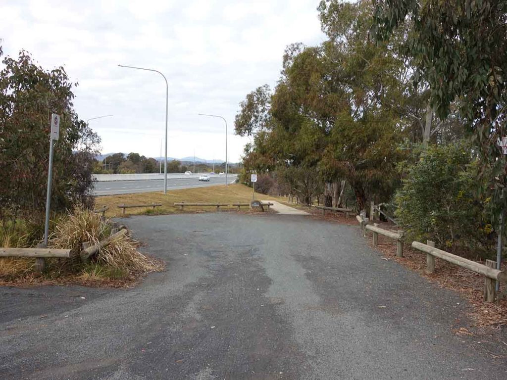
And through the underpass
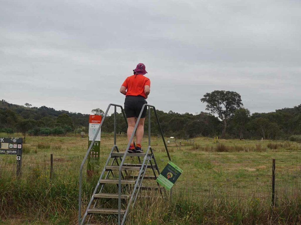
And off we go, over the stile. You can also park near this fence if you want to save about 400 metres each way
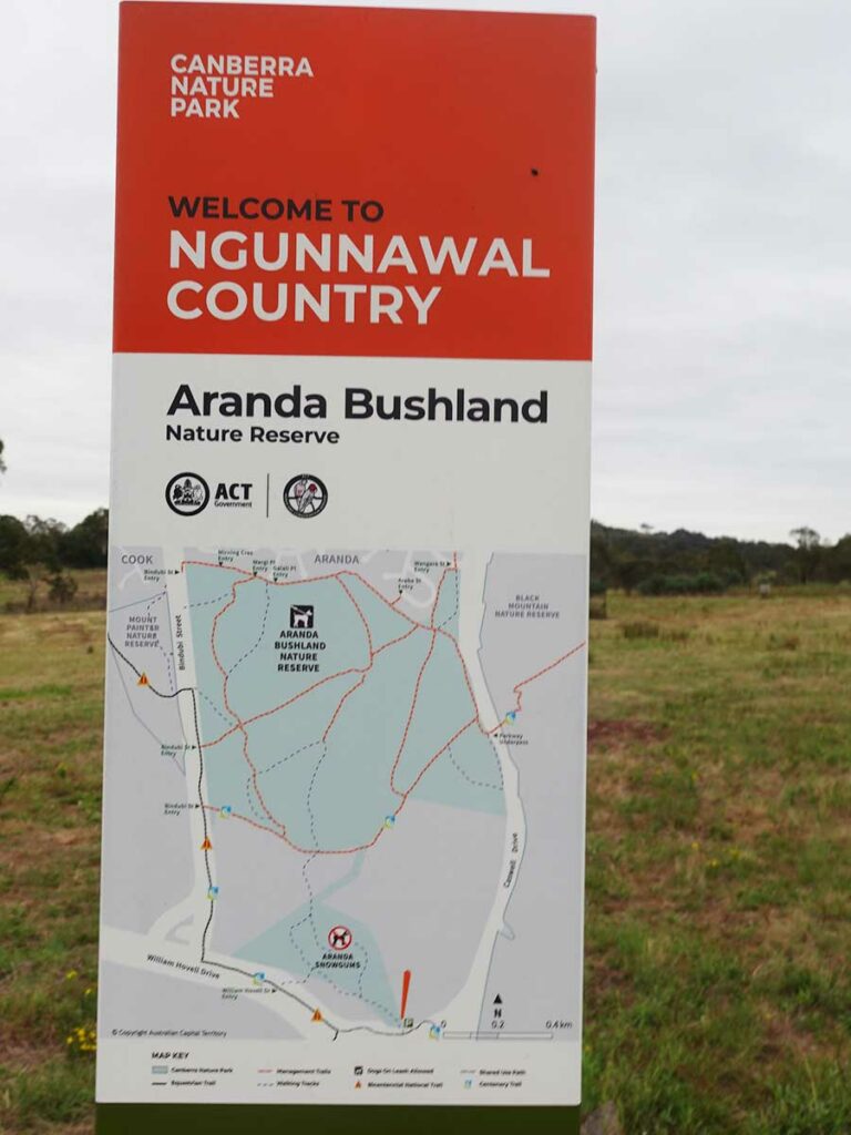
Aranda bushland sign
Still waiting on a sign of some type as at 10/12/2023. By its location I’m guessing the trailhead sign
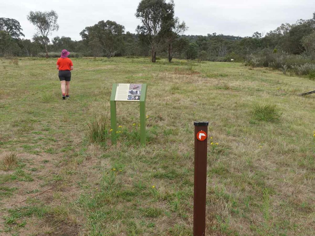
Trail signage types. Directional arrows specific to this trail are long the trail as well as interpretation signage
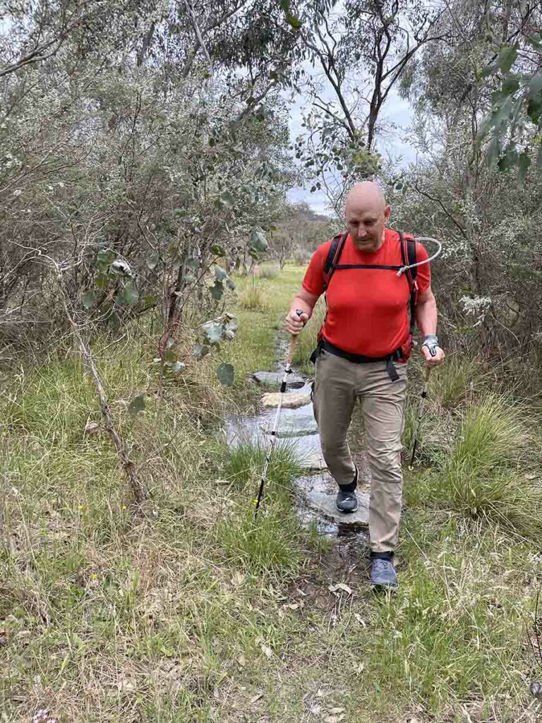
Tim walking through wet area on the trail. This section of the trail has the potential to be very wet after periods of heavy rain so if that’s when you’re visiting then you may want to come prepared for wet feet
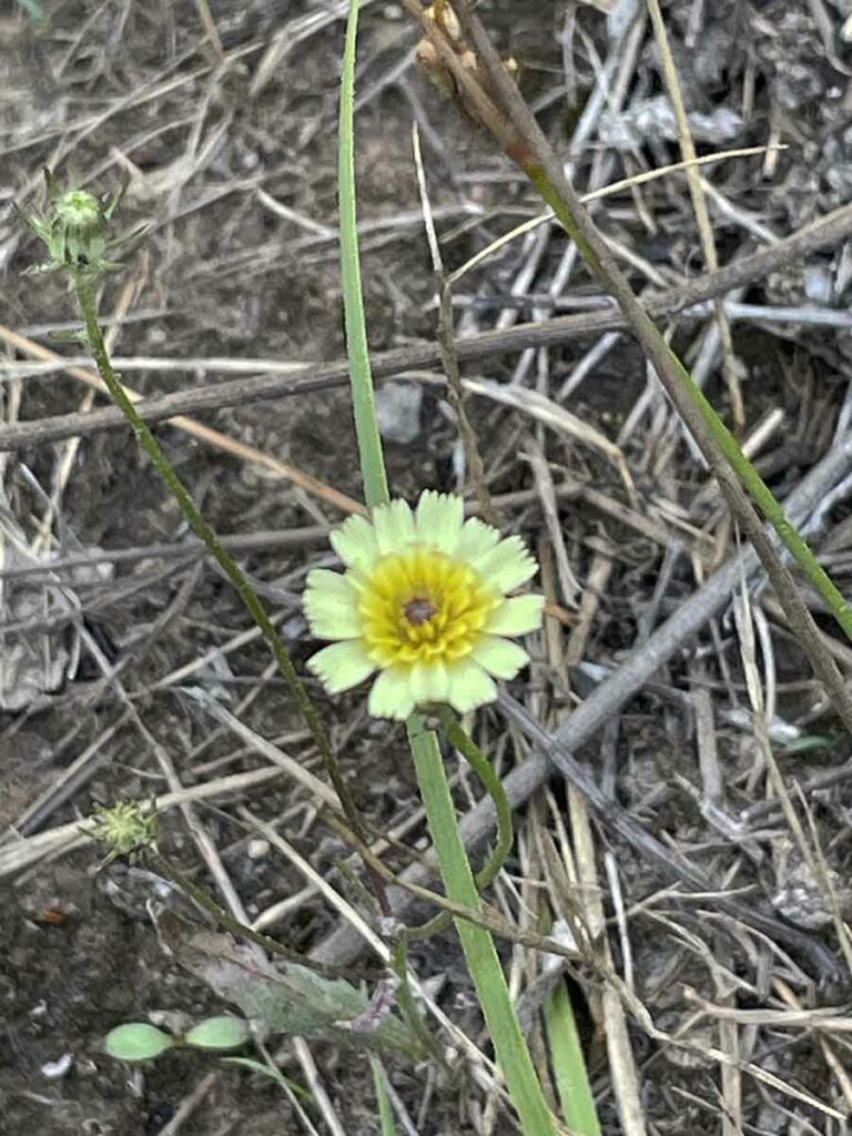
Oh so pretty
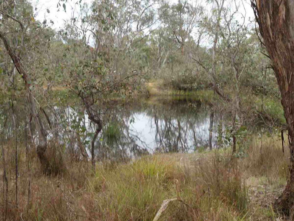
This area below the adjacent Black Mountain was previously farming land, hence the dams
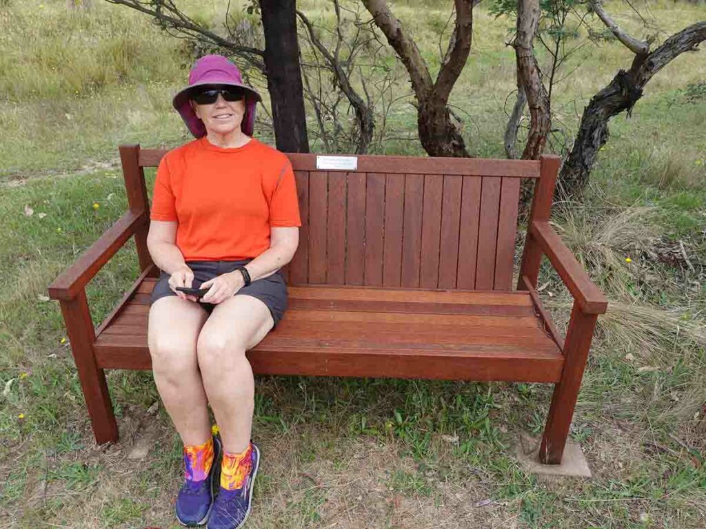
Gill sitting on the memorial seat after the trail’s namesake
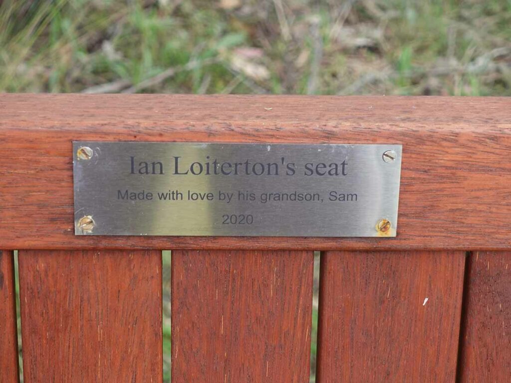
Close up of the trail’s namesake
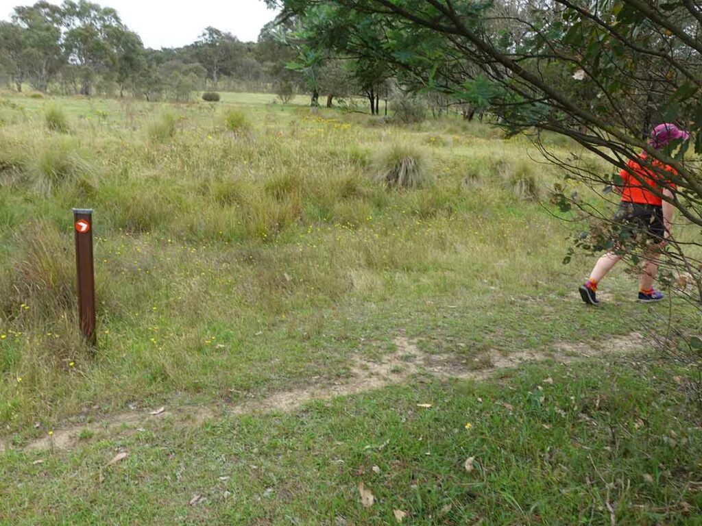
Follow the arrows. When we walked this trail it wasn’t obvious so on a few occasions we had to stop and look around until we spotted the next directional sign
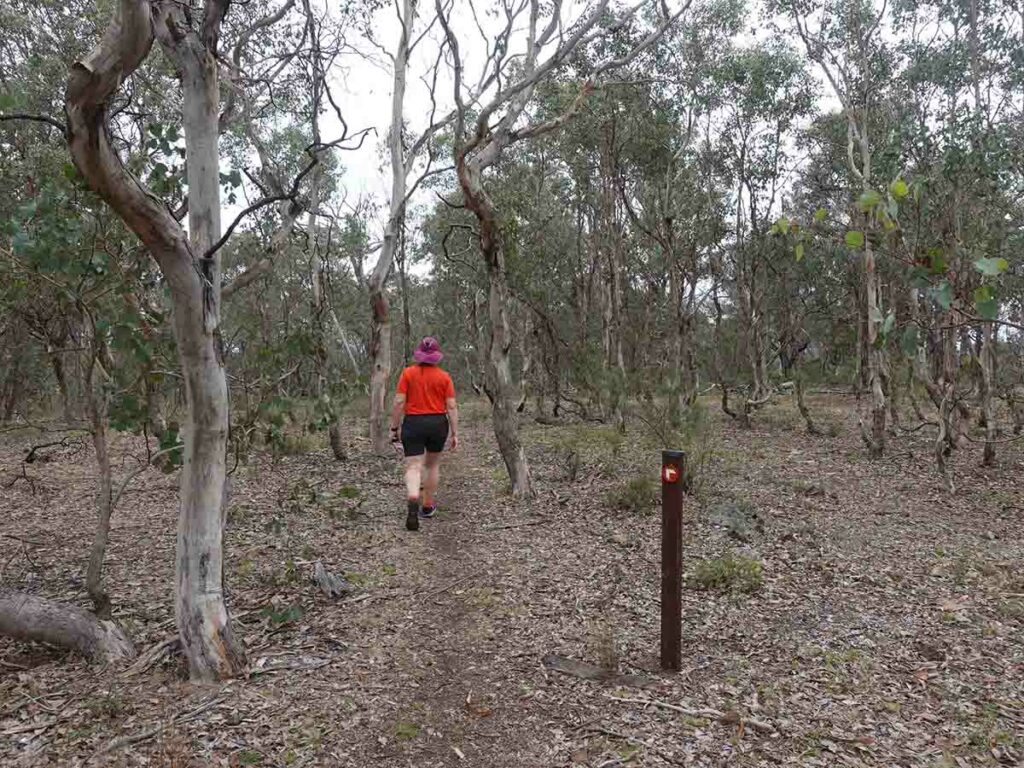
Trail example
If you want to see Kangaroos close to the city centre, then this is the walk for you. Trail signage on the South Aranda Woodland Walk
Gill on the trail
View of Black Mountain at the halfway mark
On our way back to the start
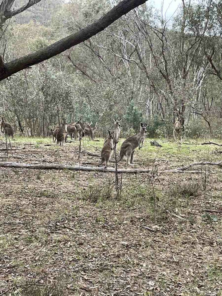
What are you doing here? It looks like this new trail goes straight past an area where the Kangaroos rest and sleep close to the dam
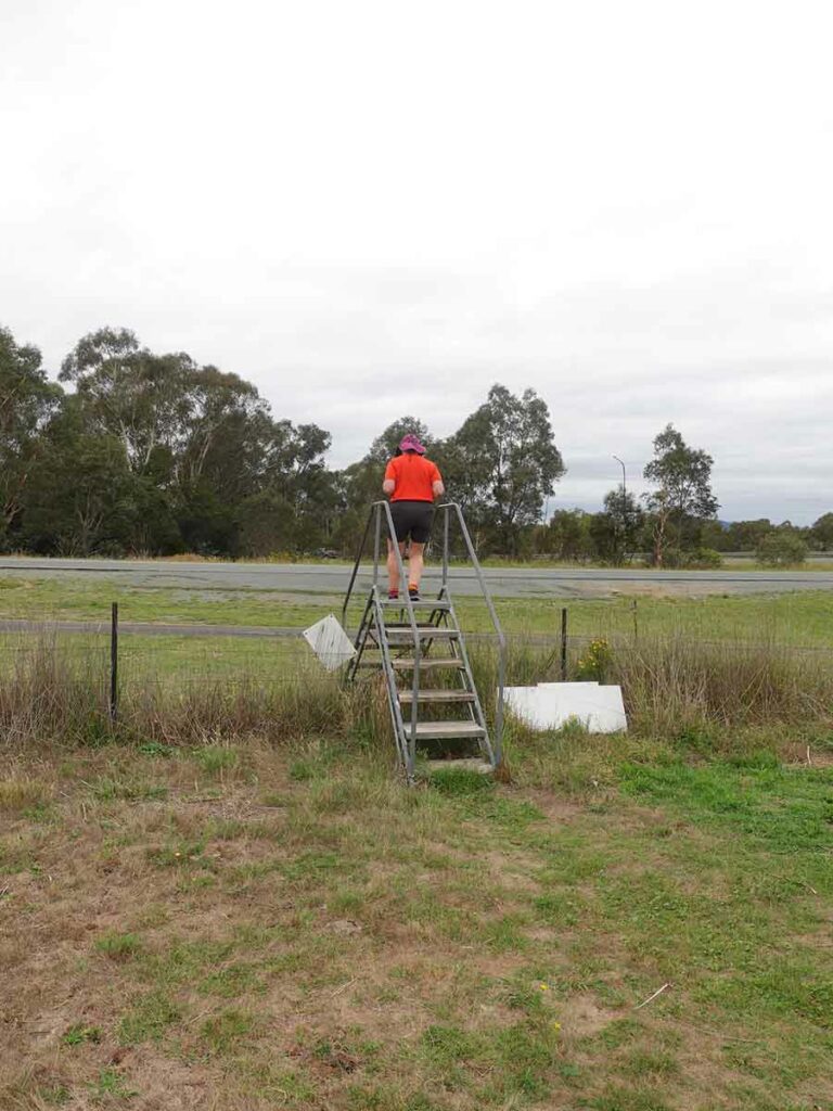
Crossing back over the stile on the return
Almost back to the car park
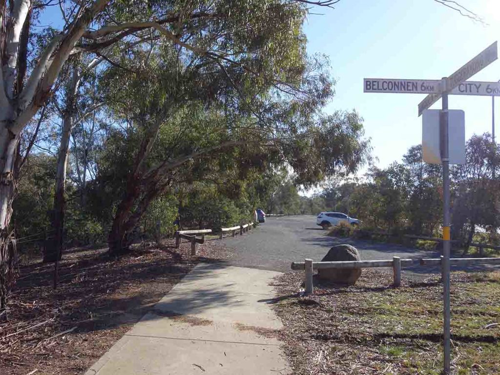
Back to the car park
Trail video
This short video contains photos and videos to show you the walk from start to finish
Getting There
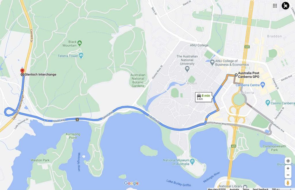
The main trailhead car park is along the base of Black Mountain on Caswell Drive. To use this car park you will need to travel from the city along the the Lake, loop around and head up Caswell Drive. This trailhead is around 7 km from the Canberra GPO and around a 10 minute drive. Be careful otherwise you will drive past the entry
Things to know
- Phone: There is good phone signal on this trail (Telstra)
- Water: You need to bring your own water otherwise filter from the dams
- Toilets: There are no toilets on this trail
- Trail: This trail is on management road, open grassland and formed trail
- Dogs: Dogs are NOT allowed
- Camping: No camping is allowed on this trail
- Other:
- Pay attention to the signage otherwise you may end up on a nearby trail
- The flies in summer are brutal; wear long sleeves and pants and bring a fly net or use fly repellent for your head
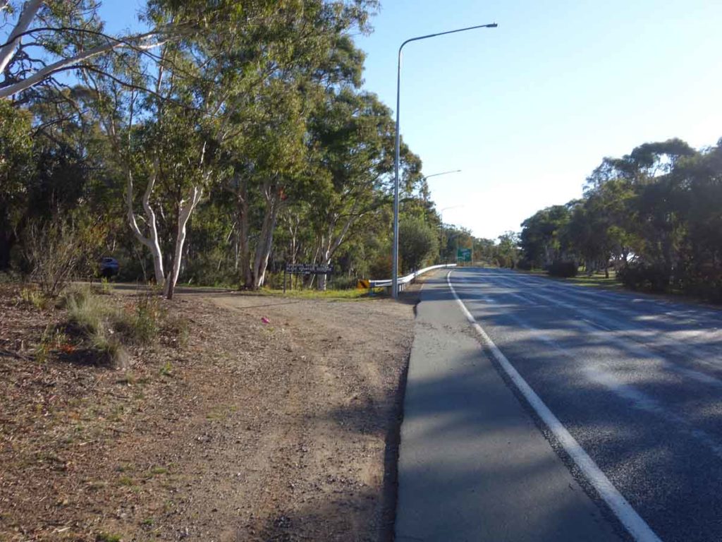
Turn off into the car park. You will need to turn off Caswell Drive heading along the base of Black Mountain. Avoid accessing this car park during week time peak hour
This car park will comfortably fit around 20+ cars
Disclaimer
This walk was undertaken by the team from Australian Hiker
Last updated
17/12/2023