Hare Point Walking Track NSW (5.6km)
Jervis Bay National Park
Nearest Town
Nowra, NSW
Best Time of the Year to Travel
- Year round
- Best done when its not high tide/when the winds blowing into beach
Starting Location
Trailhead car park at the Red Point Picnic area
Finish Location
Trailhead car park at the Red Point Picnic area
Hare Point Walking Track Review
Jervis Bay National Park is a bit quirky in some respects in that it sits on both sides of Jervis Bay. While many people will know the Huskisson/Hyams Beach side, Currarong is less commonly visited having very limited residential and town space. While I am very familiar with the water side of the bay and have visited Currarong on a number of occasions, this was my first opportunity to do some walking in this area and on the day I visited I had the perfect conditions.
Heading south from Nowra turn off toward the township of Currarong and follow the Google Map to the Red Point Picnic area which is your starting destination for this walk. On the day I did this walk Goggle Maps was a bit confused because at some point the NSW Parks Service has made some changes to the internal roads so at least from the map’s perspective I appeared to be going bush even though I was definitely in a signposted, abeit dirt road taking me to my destination. You should note that at the time I did this walk Google Maps showed this walk at the Carama Walking Track while the National Park very clearly identifies this walk as the Hare Bay Walking Track.
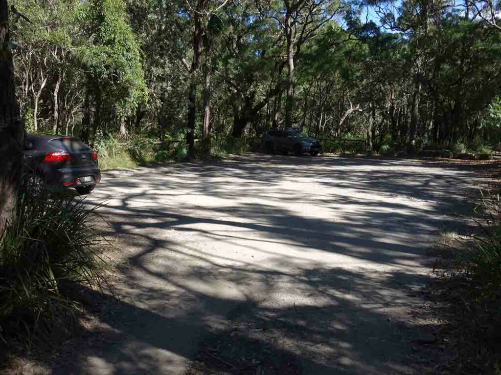
As you enter the car park area you will drive past the trail start located around about 40 metres from the parking area itself and not far from the toilet facilities and picnic area. The car park isn’t huge and has capacity for around 15 cars so its best to get there earlier in the day if you are walking on the weekend to avoid the crowds.
There is some information signage at the car park but your best information option is to head towards the toilet facilities – not far beyond this and immediately adjacent to the entry road you will come across the signage that marks the trailhead and shows the direction you’ll walk. There is no on-trail signage for this walk and you just need to follow the management track down to the water and then turn right along the beach.
The management trail is designed to take a vehicle and is easy to follow. There is one short section as you approach the beach where the grass gets a bit tall and while I didn’t see or hear any snakes I was definitely paying attention at this stage. Once you hit the waters edge you are actually in a mangrove flat and on the day I did my walk the weather conditions were warm and still, and the tide was at it lowest. If you are doing this walk on a day with strong winds blowing into the beach and the tide is at its highest, you are likely to get wet as you make your way past the mangroves onto the beach proper. From here you head along the beach back to the Red Point Picnic area.
This beach location is usually a bit populated with people but on the day I did my walk I only came across a few other people enjoying the weather. Wildlife was very limited and the only ‘bush’ life I came across were lots of birds and once on the beach, thousands of solider crabs. These crabs move very quickly and it was a bit hilarious (although I’m sure the crab didn’t think so). I was following one crab to get some photos and video and this particular crab tried to get into a burrow made by a much smaller crab.
The walk along the beach will take you from Hare Point and return you back to Red Point which is where you started. There is no obvious signage so as you approach Red Point keep you eye out for a break in the vegetation that takes you back into the picnic area.
If the weather is good I would bring a towel and swimmers, spend some time on the beach and make a day of it. This really is a lovely walk and one well worth doing.

Trailhead car park
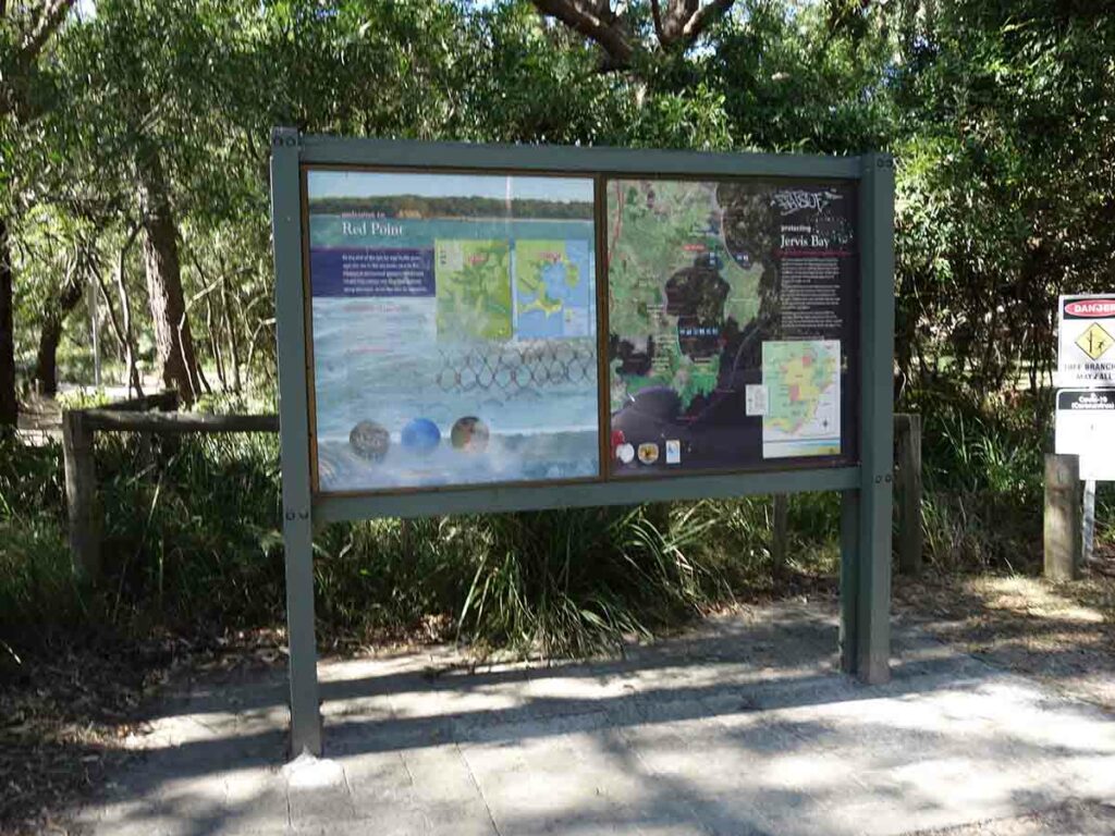
Car park signage which is more generic to the area rather than descriptive of the trail
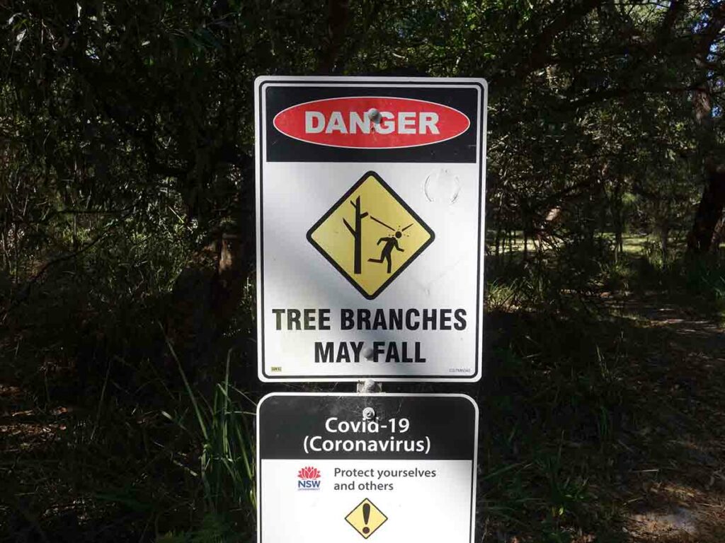
Warning signs
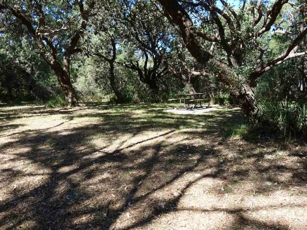
Red Point picnic area

Red Point picnic area
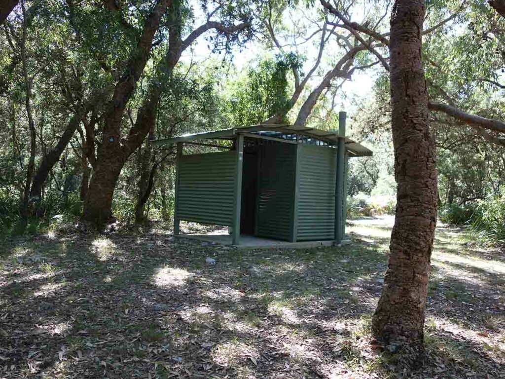
Toilet facility at Red Point
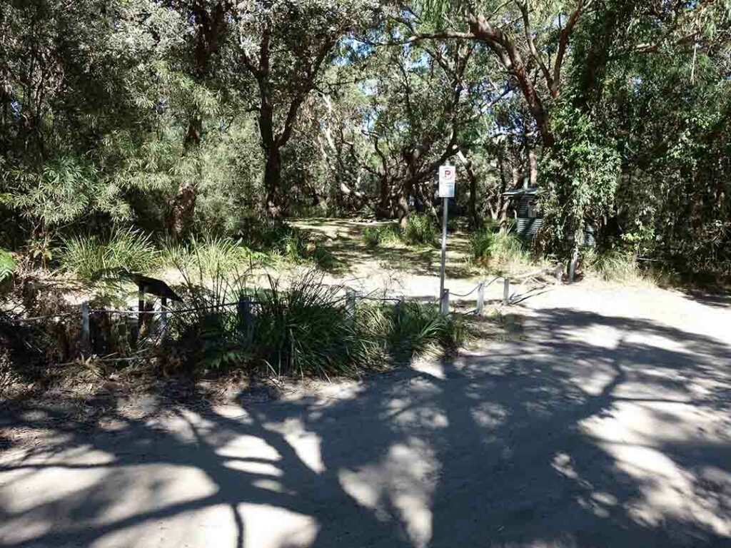
Trail starts just to the left
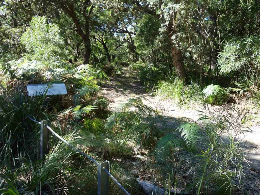
Start of the trail
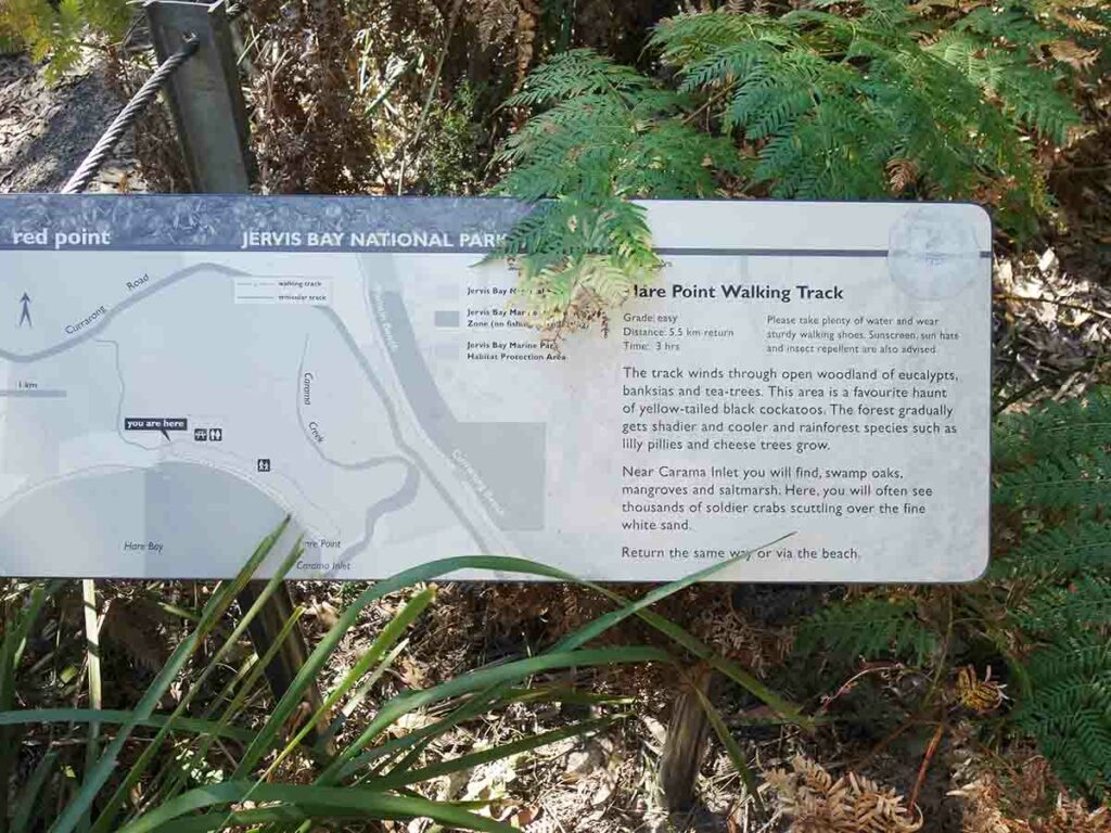
Trail signage. There is no other signage past this point but the trail is very easy to follow
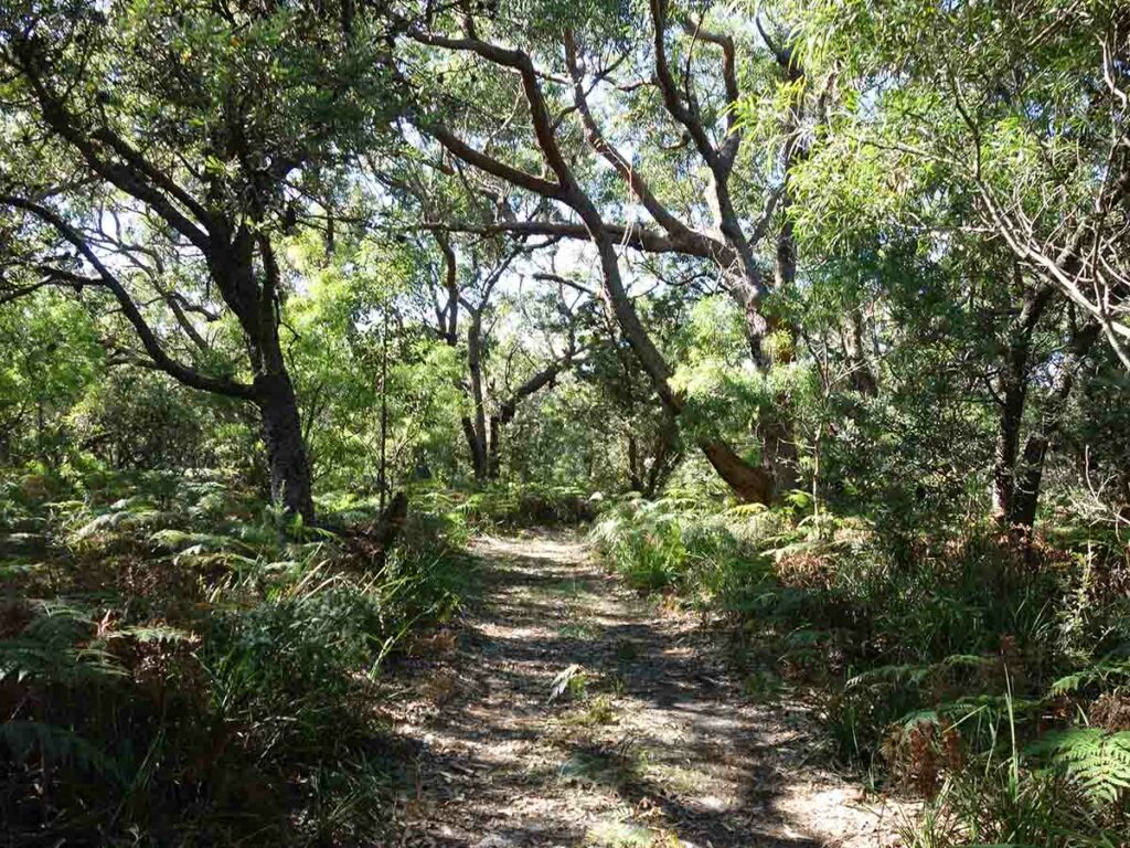
Trail example at Hare Point
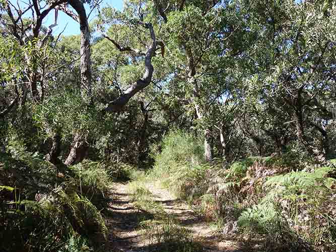
Trail example 2
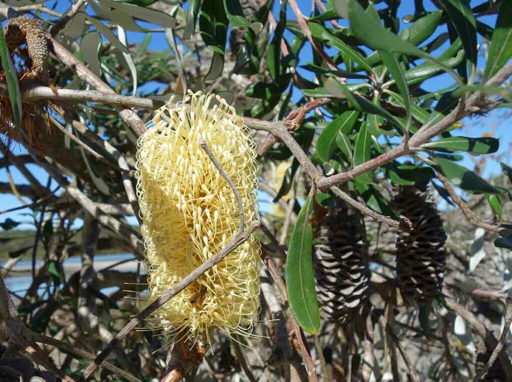
Banksia in flower
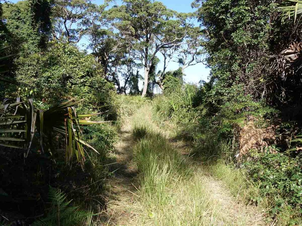
Approaching the beach
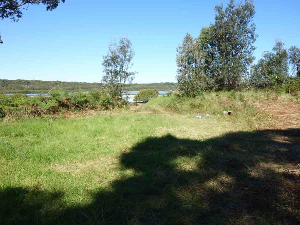
Approaching the beach 2
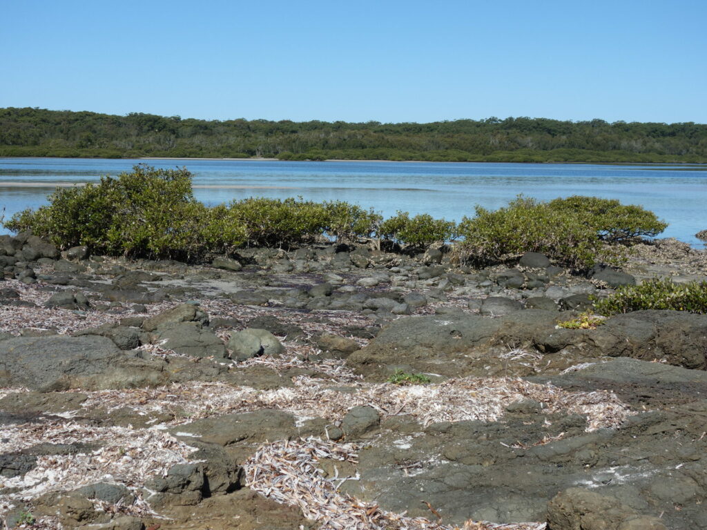
Hare Point
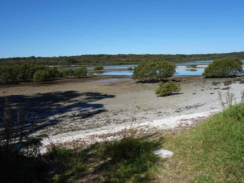
Mangroves
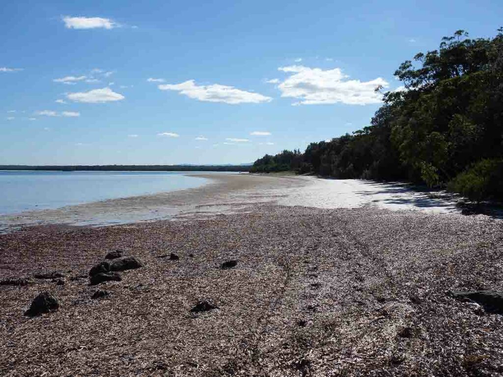
And down the beach
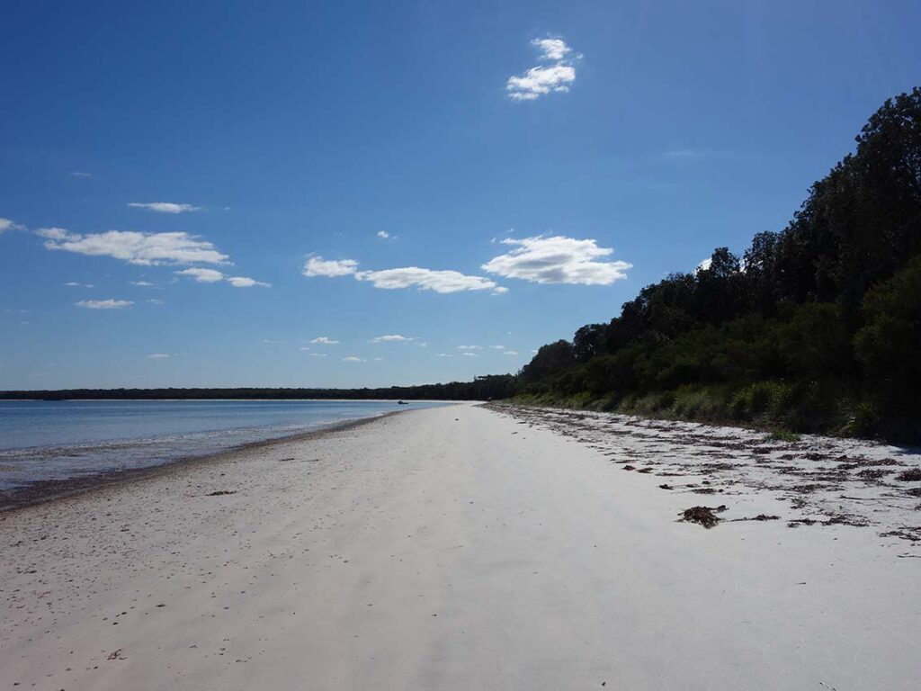
Beach view
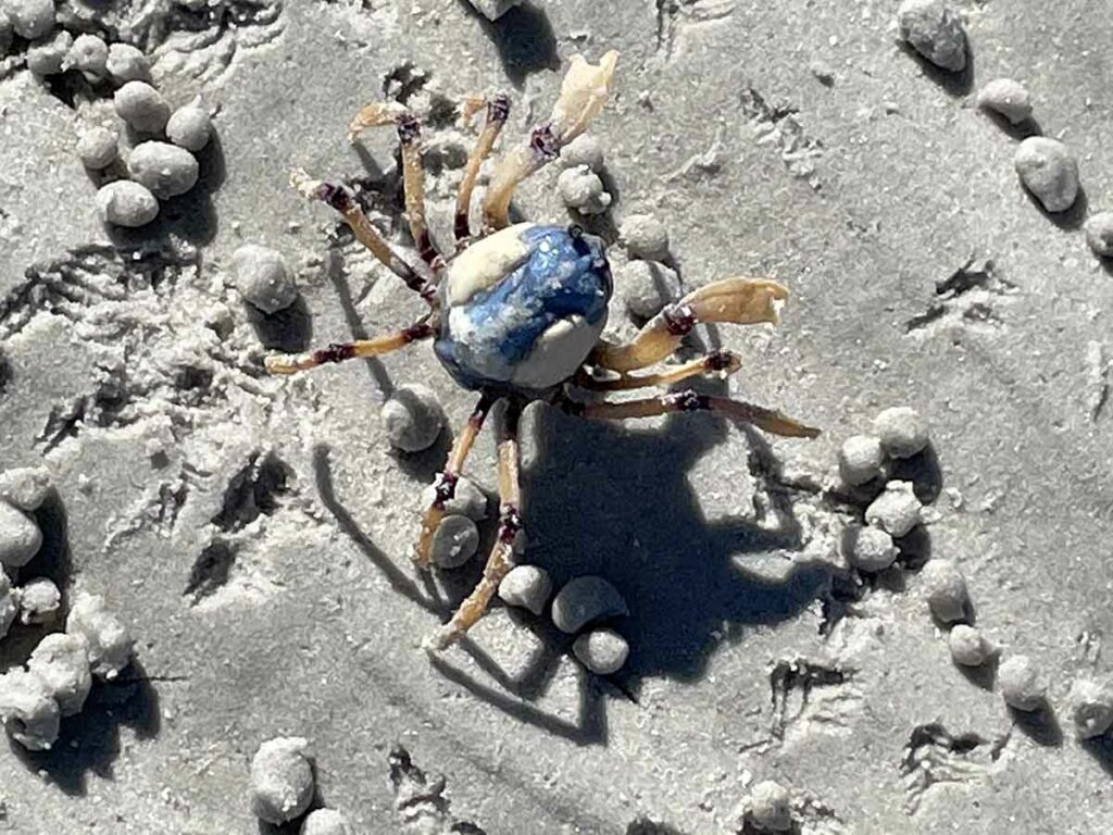
Soldier crab
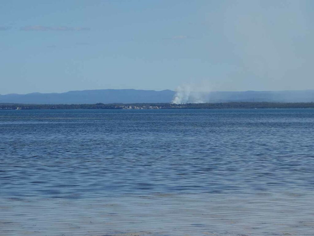
Burning off
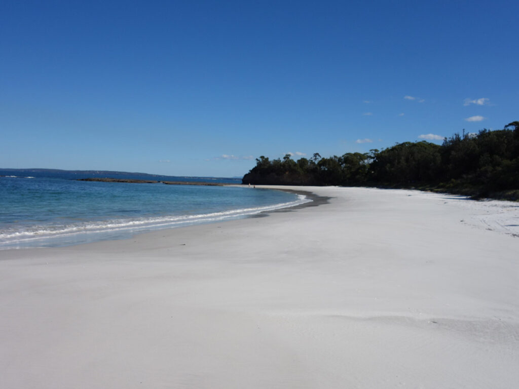
Heading towards the end of the beach and Red Point
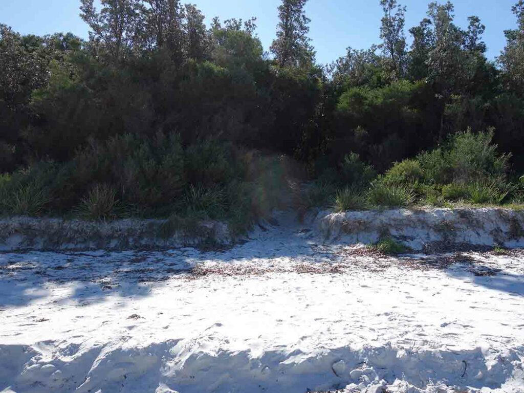
Beach exit back to the Red Point picnic area
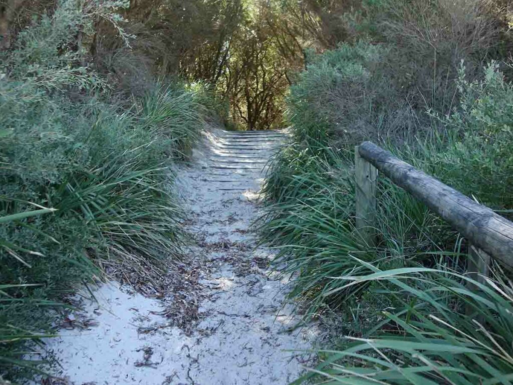
Beach exit 2
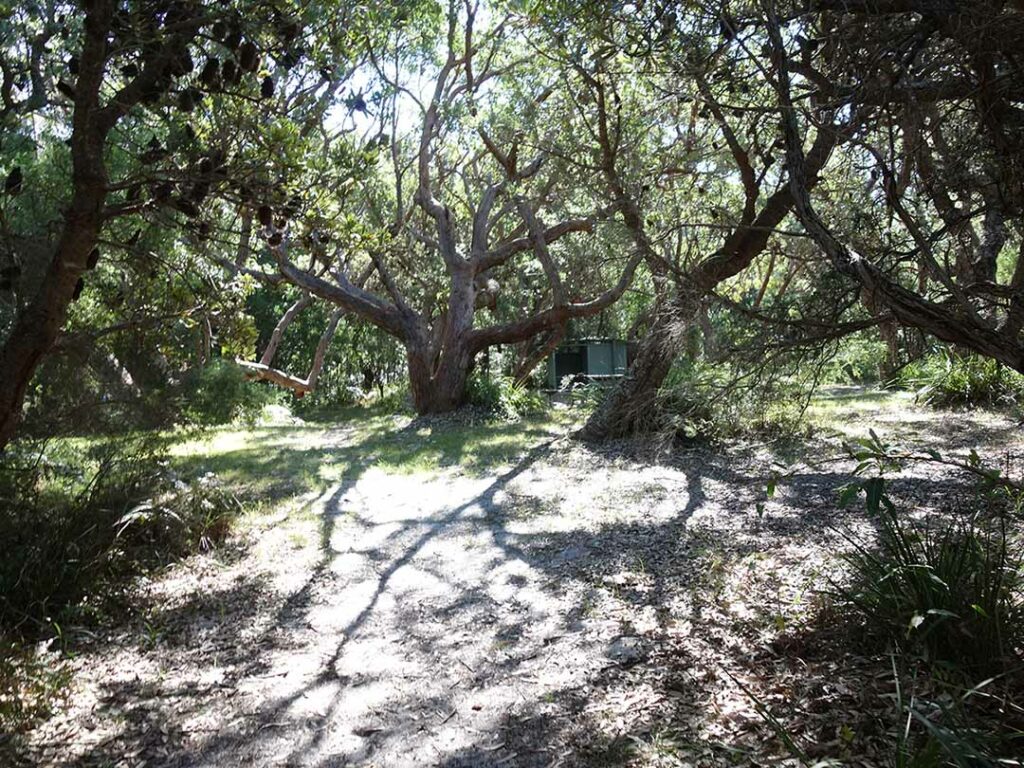
Back to the trailhead picnic area
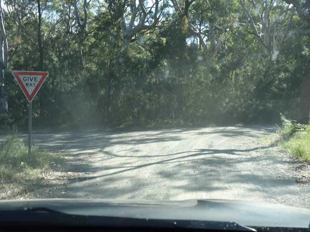
Exiting trail head car park area. Turn right here and head back to the main road
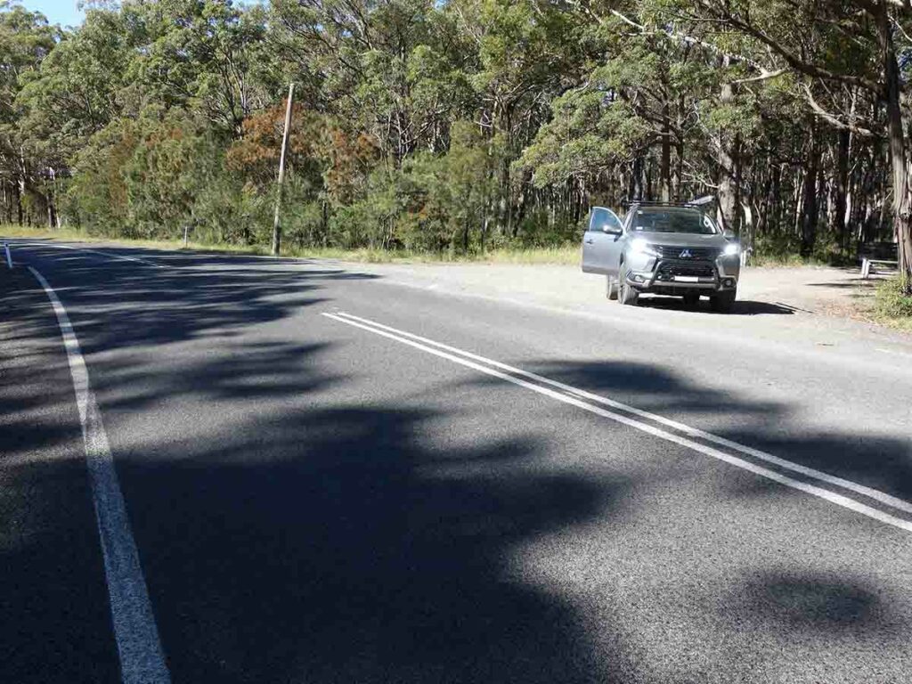
Back at the main road
Trail Videos
This short video contains photos and video from our walk to show you the walk from start to finish
Getting There
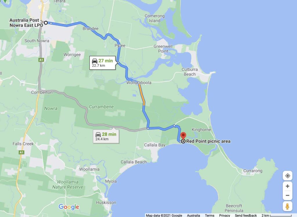
Google Maps from Nowra GPO to the trailhead at the Red Point Picnic area. The trip from Nowra is under 25 km, and around a 30 minute drive.
PLEASE NOTE:
- There has been some road redirection within the park so if you are using Google Maps to get to the car park you will appear to be ‘going bush’ even though you are on the right road
- The NSW Parks Service calls this the Hare Point Walking Track but Google Maps show this walk as the Carama Walking Track

Turn off main road
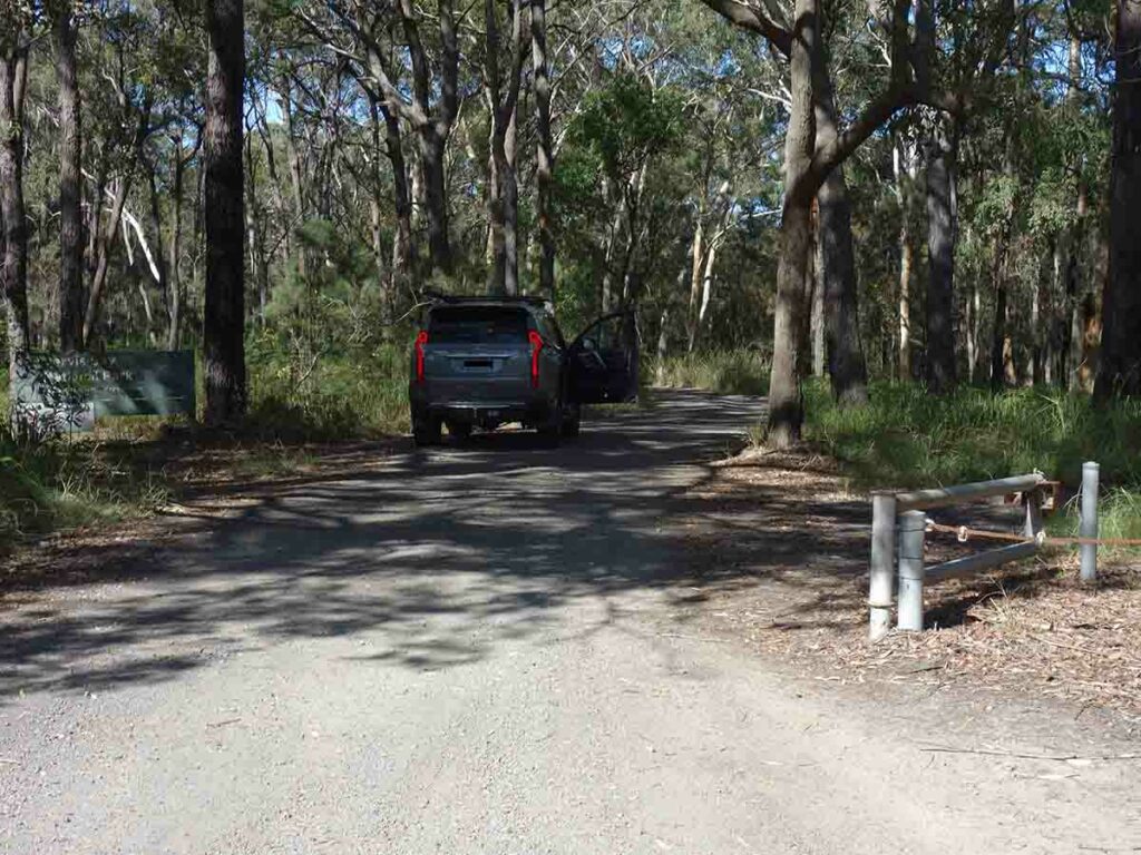
Onto the access road
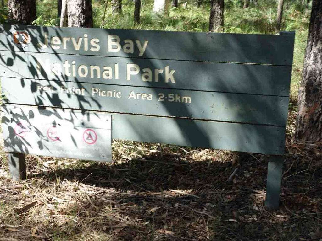
Park sign
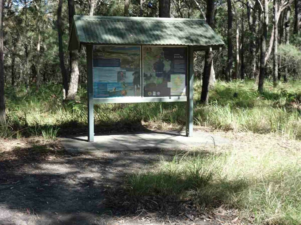
Park information sigange
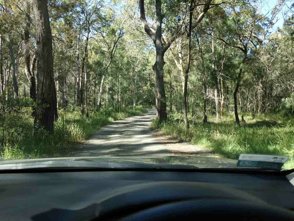
Access road
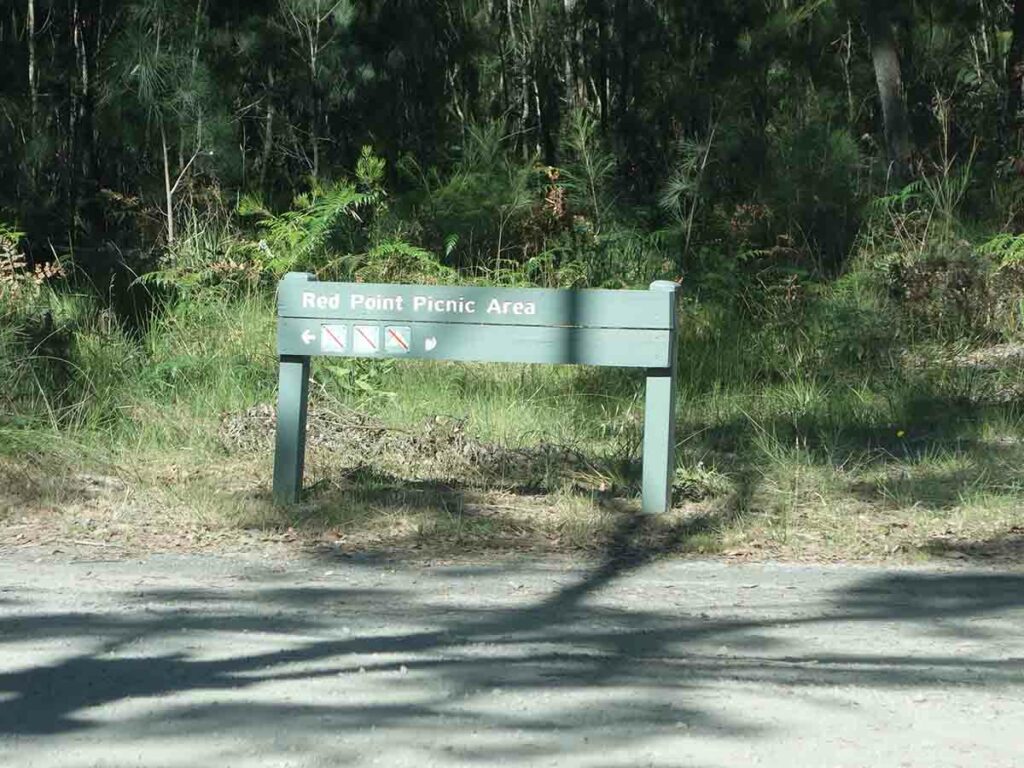
Follow the sign to Red Point

Trailhead car park
Things to Know
- Phone: There is variable signal on this track (Telstra)
- Water: You need to bring your own water
- Toilets: There are toilets located in the picnic area and car park near the trailhead
- Trail: This trail consists of formed management road for the first half of the trail and then back walking for the second half
- Dogs: No dogs allowed
- Other:
- This walk is done in a loop
- No camping on Track
- Avoid doing this walk when it’s a high tide and when the winds are high as you are likely to get wet crossing the short mangrove section at the walk mid point
- No camping allowed on this walk
- This walk is also known as the Carama Walking Track
Disclaimer
This walk was undertaken by the team from Australian Hiker