Guthega to Charlotte Pass Walk NSW (9.2km/18.4km)
Kosciuszko National Park
Nearest Town
Guthega NSW
Starting Location
Guthega or Charlotte Pass

Finish Location
Guthega or Charlotte Pass
Best Time of the Year to Walk
Late November to late March
Which direction?
- 9.2km option (one way)
- If you are only travelling from one village to another for a distance of 9.2km, then we recommend you start in Guthega and finish in Charlotte Pass because the views are better when you walk in this direction
- If doing this walk one way you will need to organise a lift back to your car
- 18.4km option (return)
- If you are travelling from one village to another and then returning back to your car for a distance of 18.4km, then we recommend you start in Guthega and finish in Guthega for no other reason than you are fresher when walking to a higher altitude. You also have the better views at the start of the walk so you will appreciate them a bit more
- Also, the parking at Charl0tte Pass is very cramped given several of Mount Kosciuszko walks start from that location
Guthega to Charlotte Pass Walk Review
Over the past few years I’ve been keenly watching the development of the 55km Snowies Alpine Walk – a new iconic walking track on the roof of Australia. In October 2022 the first section of this walking track, the standalone Guthega to Charlotte Pass Walk opened. Once we knew this track was accesible we were keen to to head up and get boots on the ground so to speak to see if this was more of the same or something unique. So how did we go?
As a new walk this trail is around 98% complete and all that’s missing is formal trailhead signage. When we undertook this walk in November of 2022, there was temporary trailhead signage at both Guthega and Charlotte Pass. I would expect there to be something more formal in place once the larger trail has been completed in late 2023.
For us the hardest part of this trail was working out where to park at Guthega and where exactly the trailhead was. In scouring the NSW Parks and Wildlife Service website we worked out that the first part of the trail consisted of the Illawong Walk. Given neither of us had done that walk in the past we headed to Guthega Village and soon located clear signage. Parking was also something we weren’t sure about and we ended up parking along the roadside near the trail turnoff although at the end of the day we learned that we should’ve parked 350 metres away from the trailhead at the Guthega Village car park.
We started our walk at just on 8:30 am and like many other walks in this part of the park, getting a slightly earlier start makes it easier to get a good car parking space and have the trail to yourself at least for part of the day. What we worked out on the day we did the walk that most people seemed to opt to start from the Charlotte Pass end of the trail. Judging by the time we crossed paths with them we assumed most started walking at around 9:00-9:30 am. There were small groups of hikers as well as runners along with a couple of what looked like clubs with around 10-15 people in a group. Having said that what you do need to be aware that the trail is narrow and if you come across other trail users then its easier if someone stands to one side and allows others to pass. Traditionally you give way to hikers coming uphill but sometimes its hard to tell what that is and other times it just makes sense to give way to a larger group.
Both Gill and I have done many of the walks in this area of the Park and didn’t know quite what to expect. First up this trail seems to follow the valley that contains the Snowy River and parallels the road that runs through the centre of the Park and finishes at Charlotte Pass. As such the Snowy River is pretty much your constant companion on this walk and even on the rare occasion you move away from it, you can almost always glimpse the river if not hear it. Speaking of the river, the clarity at the moment is just amazing and even though the images below were taken well over 20-50 metres away, you can still see in to the water.
The trail tread consists of natural trail, natural trail with flat rock tread, metal mesh and various sets of stairs made of the same materials used on the trail. There are also two bridges on this trail; a shortish one close the the Guthega trailhead and a much larger longer suspension bridge which is the image we have used in the cover shot for this write up. What this means is that at no stage do you need to get wet feet to complete this walk. You can tell that this trail hasn’t been open that long as you can see in some areas where vegetation has been removed but given a year or two this will disappear. Some of the older trail replaced by this new trail was still obvious and in all honesty, this new trail will ensure that damage to the landscape from walkers cutting their own path will progressively disappear.
The landscape overall varies between open grassland, alpine heathland, as well as small sections of Snow Gum Forest providing plenty of variety throughout the day. In addition by starting your walk at Guthega you get some amazing views towards Australia’s highest mountains that are just that much better than when walking away from Charlotte Pass. While your legs will feel this walk its by no means difficult but as someone who has dodgy knees I should have taken my tracking poles for use in downhill sections when I wasn’t walking on metal mesh. One other thing to be aware of is that the UV index can be brutal in the Australian Alps even when it doesn’t feel that hot so cover up.
Don’t expect to see much in the way of animal life on this walk although we did come across the occasional wombat hole along the way. What we did see was birdlife and for the first time ever we came across a crows nest with young in the nest which was a bonus. In addition while we saw occasional wildflowers our walk predated wildflower season which doesn’t hit its stride until December and January.
We both really enjoyed this walk and if this is an example of what’s to come for the longer Snowies Alpine Walk, then its going to be a cracker!
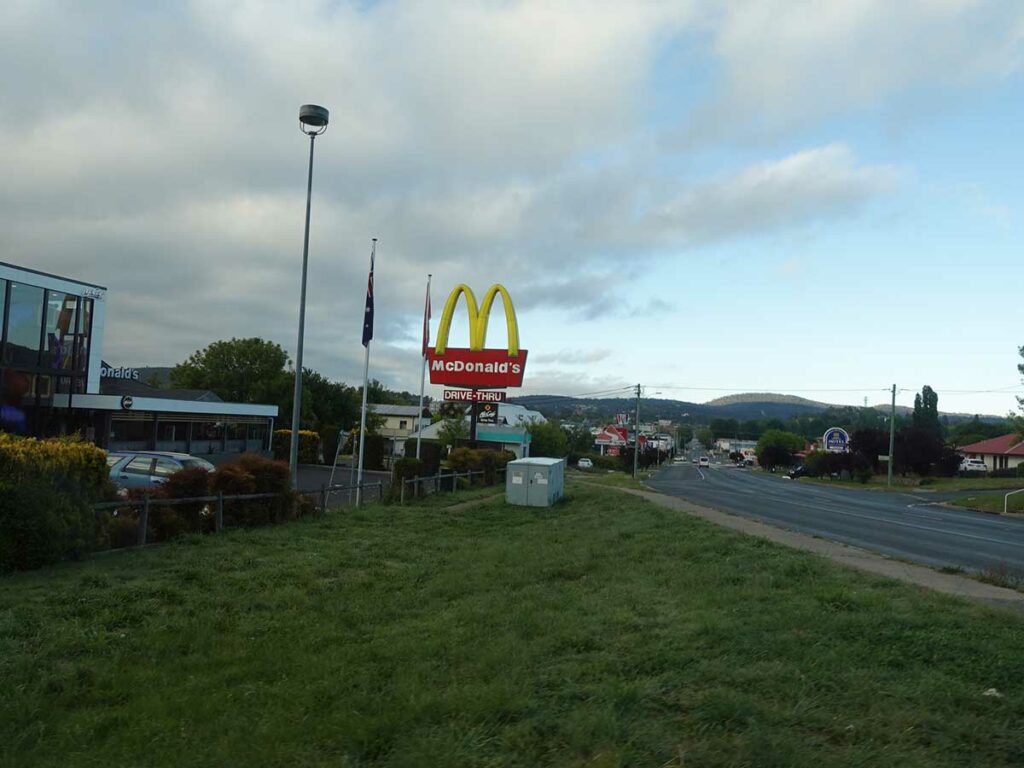
Maccas at Cooma, our usual breakfast stop

Turnoff to Guthega village

On the way to Guthega

Section of dirt road

Guthega Village
Car park at Guthega. The start of the walk is a further 350 metres walk down the road

Approaching the trailhead

Temporary trailhead signage

And off we go

Trail at the start

First bridge
Snowy River. The water was so clear!

View along the valley. There is a small working hut in the centre left

Illawong Bridge

New trail sigange

Mesh trail

New suspension bridge

New suspension bridge closer view

So pretty. On this walk we were about six weeks early for wildflower season but there was still the odd bit of colour about

Metal stairs on the trail

More stairs on the trail towards the Charlotte Pass end of the trail

Snow Gums

Mesh track example

Look closely and you will see hikers heading up to Blue Lake

Turn left up the hill to Charlotte Pass

Reaching Charlotte Pass

Charlotte Pass toilets

And back we go

Return leg trail

View on the return leg

View on the return leg

Through the Snow Gums

Return trip example

Water and waterfall down the hill

Almost back to the start

Back to the car park
Trail video
This short video contains photos and videos to show you the walk from start to finish
Getting There

Google Map from Jindabyne to Guthega for a trip of just on 43km

The start and the end of the graph is Guthega. The high point on the graph is Charlotte Pass. While your are aware on this trail that you are walking up towards Charlotte Pass overall it is a gradual increase
Things to know
- Phone: There is reasonably good phone signal on this trail (Telstra)
- Water: Bring your own water otherwise bring a filter and draw water from the river
- Toilets: There are no toilets on this trail but there are toilets at Charlotte Pass
- Trail: This walk is on steel mesh and natural trail
- Dogs: Dogs not allowed
- Camping: Camping allowed within selected areas
- Other:
- Unless you are into snow snowshoeing or skiing, do this walk late November to late March. Even then, check the conditions just in case
- Check the snow conditions if hiking outside of summer
- Bring a broad brimmed hat, long sleeved top and long pants as the UV index can be brutal in the Alps (see below)

Tim Sunburned head. I should have known better but for some stupid reason didn’t wear a braid brimmed hat!
Disclaimer
This walk was undertaken by the team from Australian Hiker