Blue Loop Trail ACT (10.5km)
Majura Pines Recreational Area
Nearest Town
Majura, Canberra, ACT
Starting Location
Majura, Canberra, ACT
Finish Location
Majura, Canberra, ACT
Best Time to Travel
Year round although late spring is better for the wildflowers
Blue Loop Walk Review
Along with the Crazy Crab-Flash Walk and Green loop Trail, the Blue Loop Trail is one of three multipurpose trails located in the Majura Pines Recreational Area (ACT). It’s an area I’ve only recently discovered because it doesn’t appear on the local government list of walking trails given the emphasis is on mountain biking. The trail itself is formed dirt and management road through pine plantation. The wildlife is almost non existent due to the constraints of the roads either side and given the narrow section of pine plantation.
The walk itself takes you under the major adjacent roadway (Majura Parkway) through the pine forests on the north eastern slopes of Mount Majura and at a number of stages, you touch on natural bushland on the upper slopes of Mount Majura. While the traffic noise is a constant on the lower sections of trail, the Blue Loop takes you across the full section of the pine plantation. On the upper reaches of the walk you can be forgiven for forgetting where you are. There is very little undergrowth in this forest with most of the ground under the pines being reasonably clean until breaking out into the open which is where the undergrowth starts to reassert itself. While the Majura Pines Recreational Area isn’t known for its wildlife and wildflowers, it does have more on offer than the other two walks and if you choose to do the walk in late spring then you will see a greater variety of flowers and birdlife on show.
The Crazy Crab and Green Loop Trails are more towards the central core of this pine plantation but the Blue Loop touches the extremes of the area on all sides. It’s not impossible to get lost on this walk, you just need to stop and remember three things; you are walking through the pine planation, the downhill slope will take you back to the main road, and at no stage do you go through any fences or gates.
However, if you aren’t paying attention you will end up on the upper sections of Mount Majura at the end closet to the Canberra airport but you will very quickly realise that because all of a sudden you’ll be walking though natural bushland and not pine trees. There is also signage that says ‘exit’ which is a big enough hint so long as you aren’t daydreaming, you’ll be fine.
This walk is identified as a 10.4 km walk and on the day I did it our GPS measured 10.5 km so the signage is very accurate in this respect. The walk took just over 3.25 hours and I ended up sneaking off-trail onto one of the management roads towards the end of the walk because it was approaching sunset. I did this walk after work in late spring and even though I was carrying a headlamp, I decided I wanted to finish while there was still light. While it is not quite a figure of 8 in shape it is close enough to describe it that way. From my perspective this is the best of the three trails in this area and provides the greatest variety in terrain and views.
The signage is reasonably good on this trail but I recommend taking a photo of the trail map at the trailhead not so much to provide directions but as a reminder that you are essentially doing a loop around the plantation. The central core of the trail is shared with the Green Loop however where this trail comes into its own is that at both ends of the trail it takes you to the highest points of the pine planation. At the northern most section of the trail which is the direction I originally started walking is a solitary picnic table which is a great place for a rest and a snack.
While the trails in this pine plantation are primarily aimed at mountain bikers, plenty of walkers and runners use the trail. Given its so close to the city its a great opportunity to do a walk after work and away from the heavily used bush trails in the centre of the city. However, being a trail system primarily designed for mountain bikers, they know how to do switch backs. If the switch backs start to annoy you, it’s easy to jump across the trail given the switches are that close. One thing I recommend to get the best out of this trail as a walker, is start early in the day to avoid the bulk of the mountain bikers This trail would be a really nice walk in mid winter – the early morning fog would add an eerie quality as you walk though the pines.
This walk is worth doing at least once and being so close to the city, provides an easily accessible option to do something a bit different. If you are up for the longer distance and have the time, then this is the pick of the three trails in this plantation.

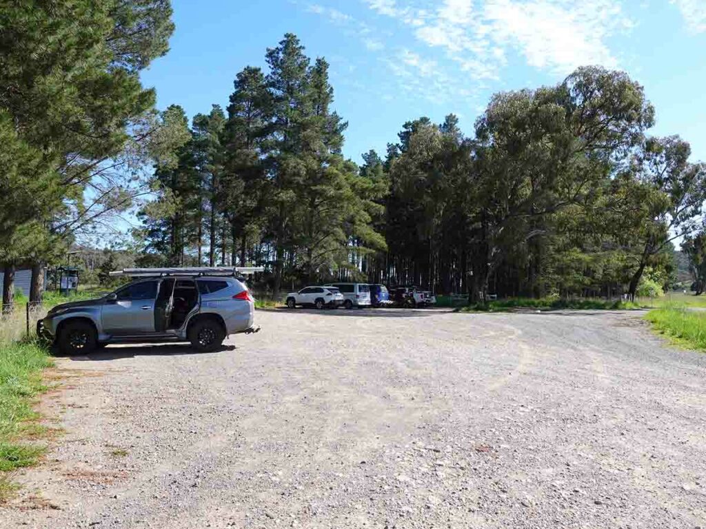
Car park at Majura Pines Recreational Area
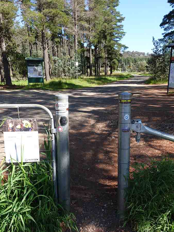
Trail entry
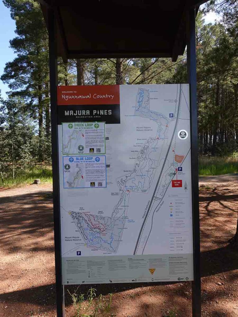
Trailhead kiosk
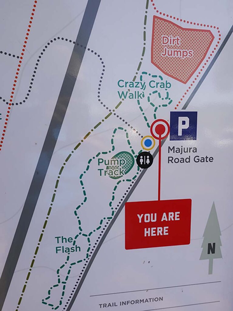
Close up of walk signage
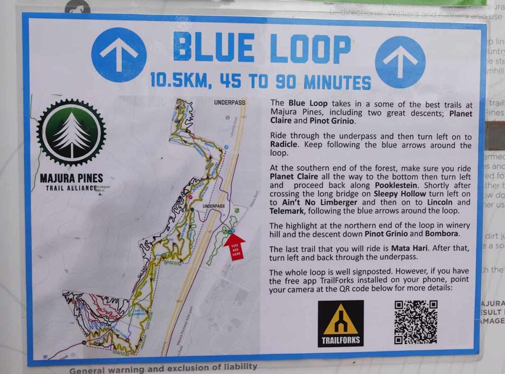
Trailhead information for the Blue Loop
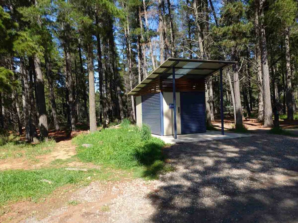
Toilet block at the trailhead
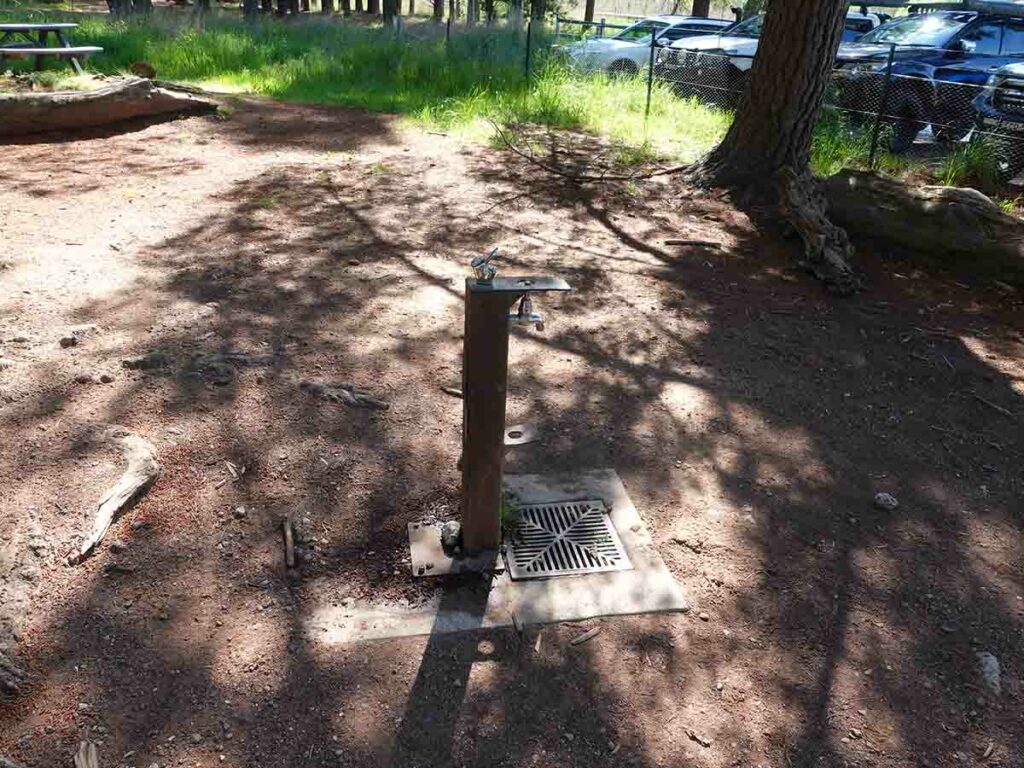
Water bubbler at the trailhead
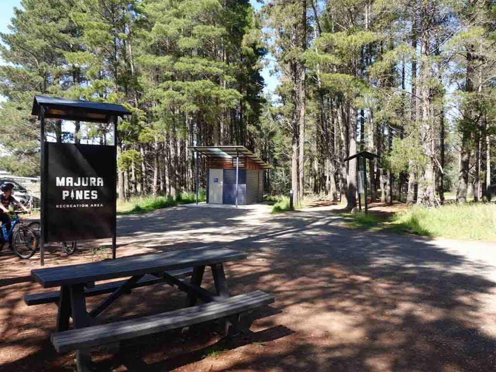
Picnic area at the trailhead
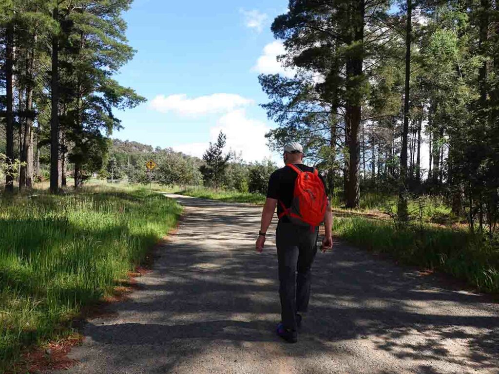
Heading off
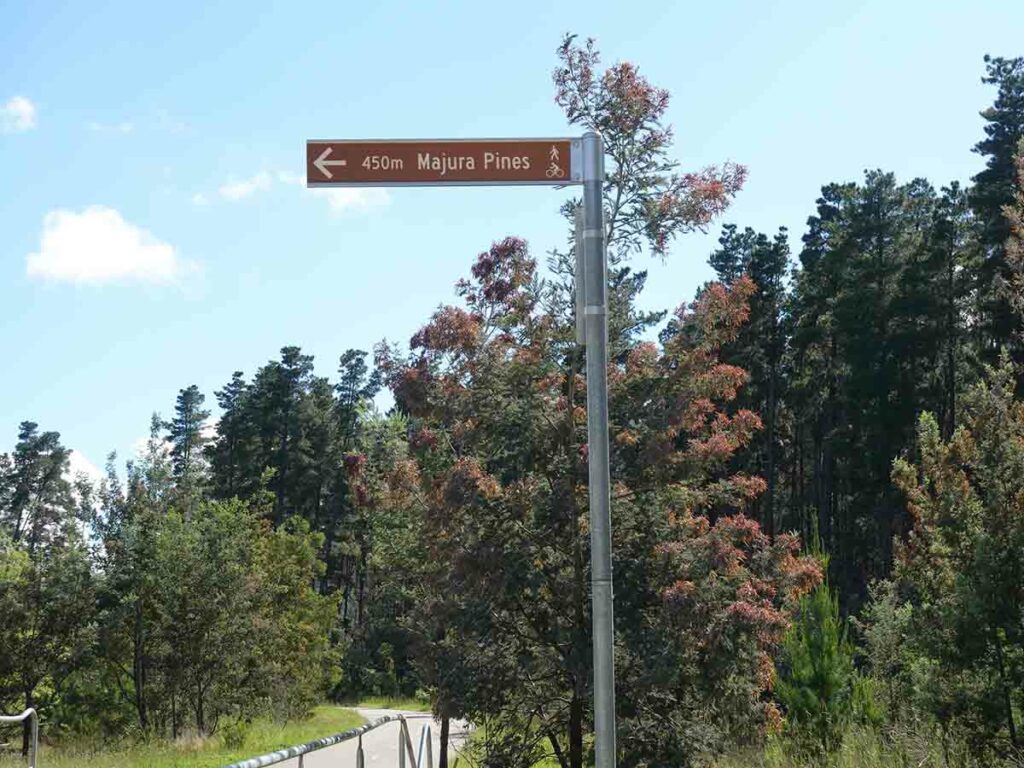
Sign to the Pines
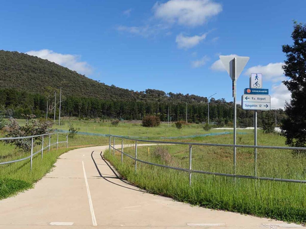
Heading towards the underpass
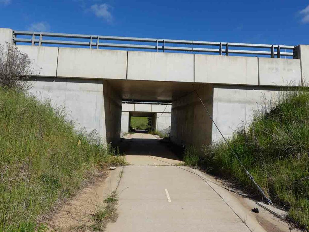
Passing under Majura Parkway
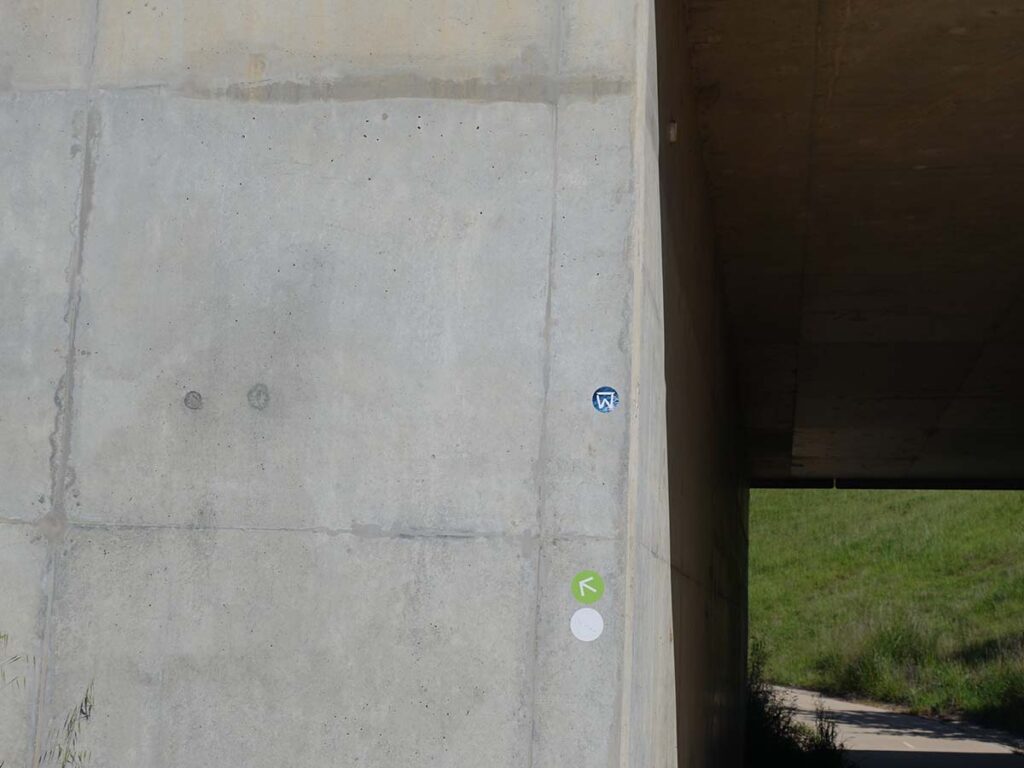
Green Loop signage arrows
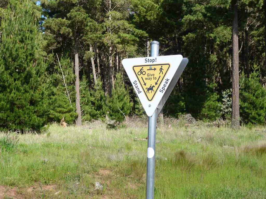
Give way signage hierarchy
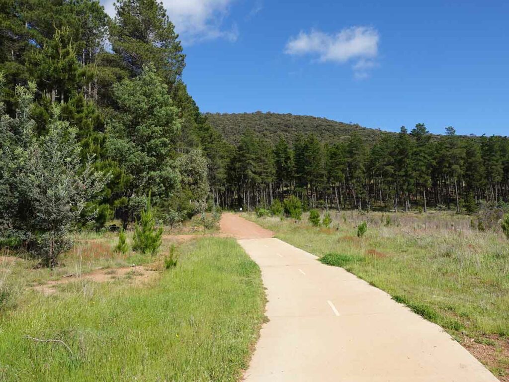
Onto the management trail
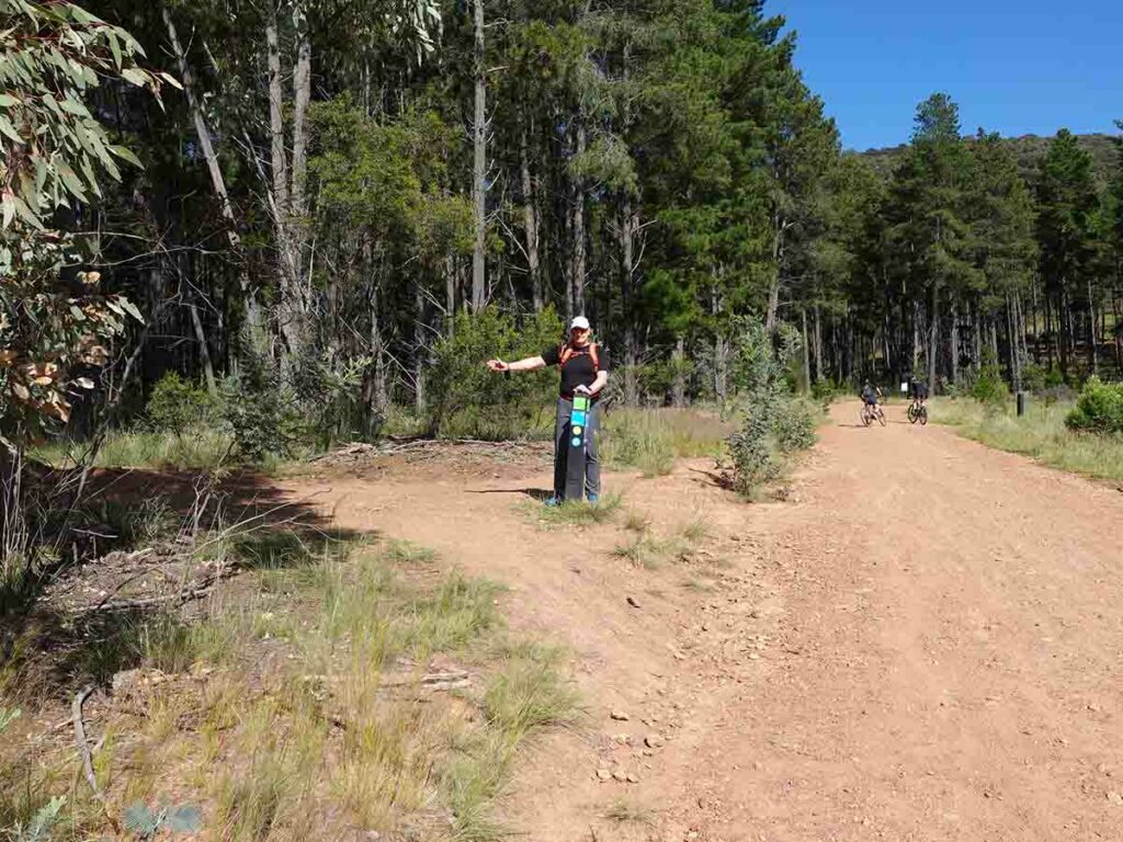
This is the first directional sign that you come across but we suggest you go past this and continue up the road till you come to the sign for ‘Blue Betty” and then head north towards the right of the trail. You will loop around and come back to this point later in the walk
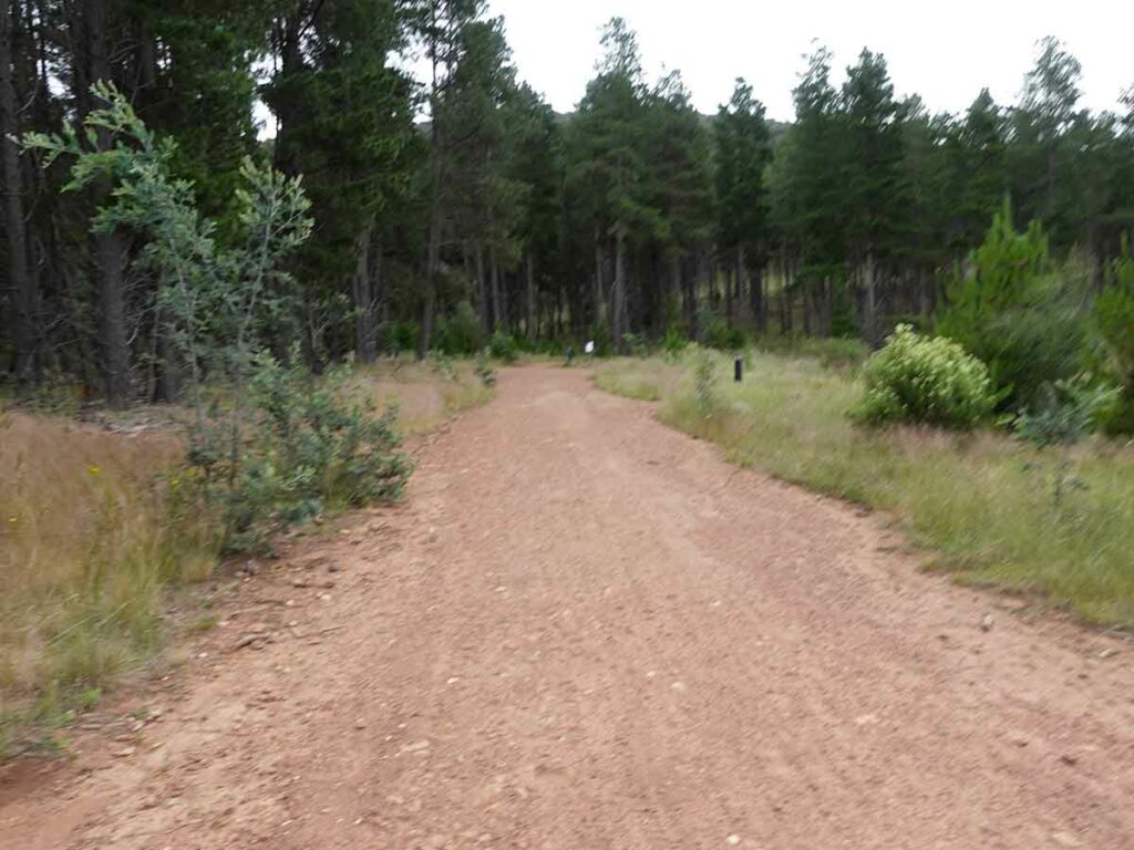
Head up the road to ‘Blue Betty’
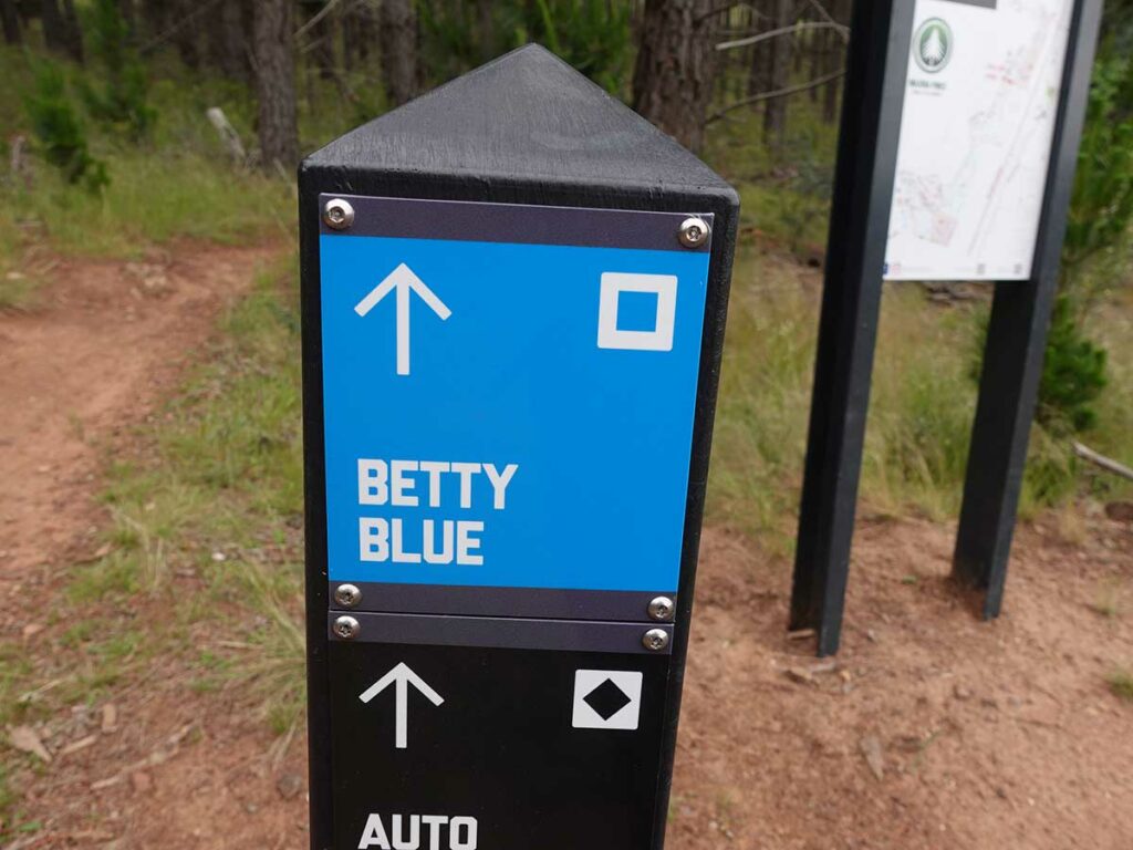
Blue Betty signage as you hit the top off the ‘T’ intersection
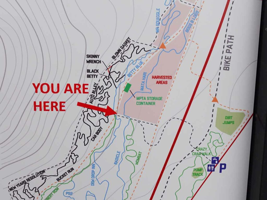
There is also more detailed signage at this point
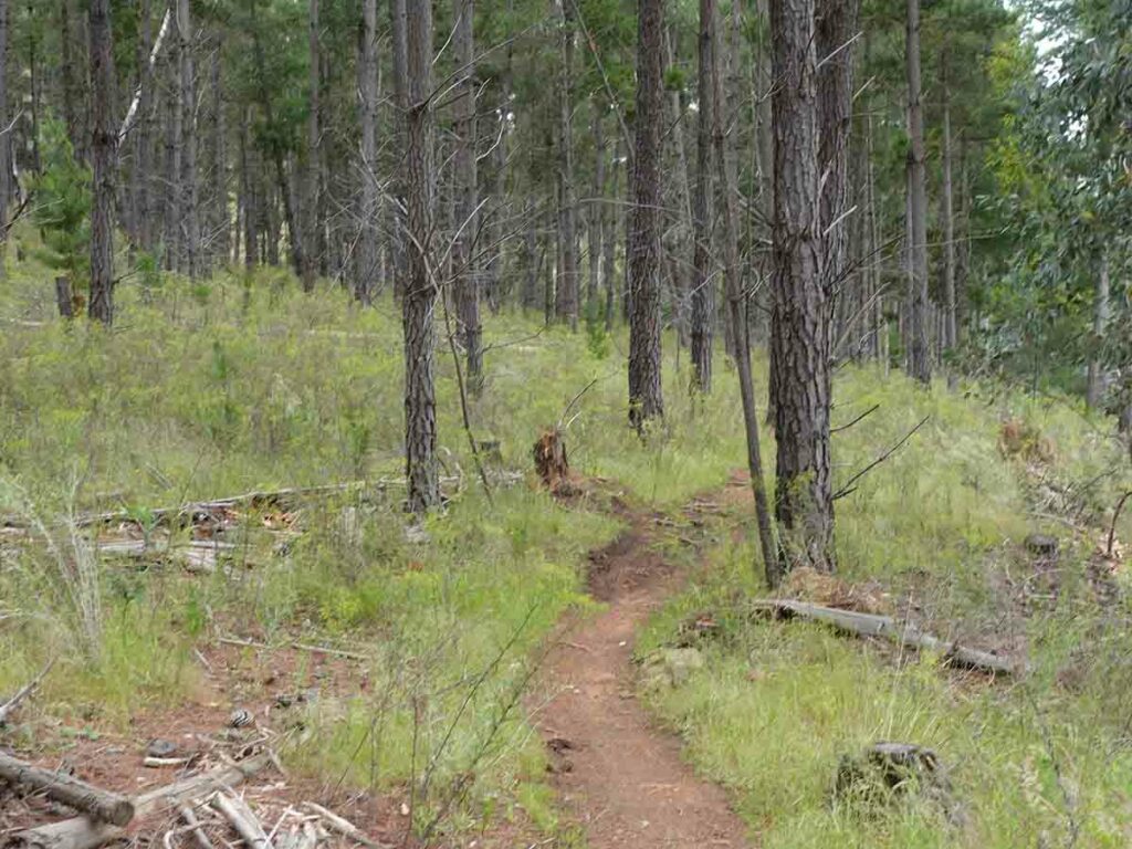
Trail example Blue Betty
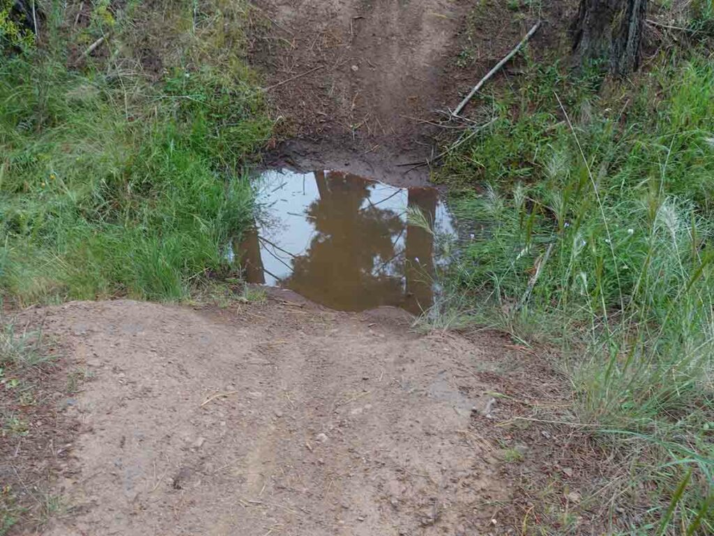
Dip hazard after the rain
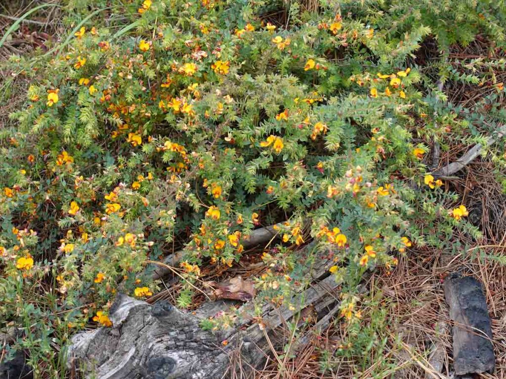
Pea flower
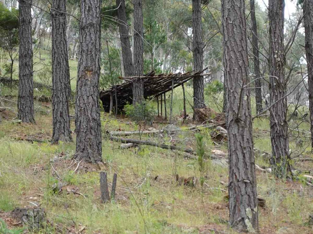
Lean-to
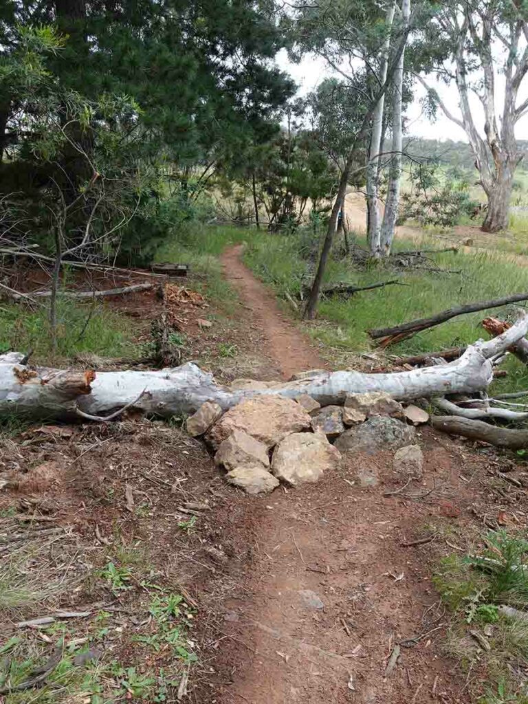
That’s one way of getting over a tree
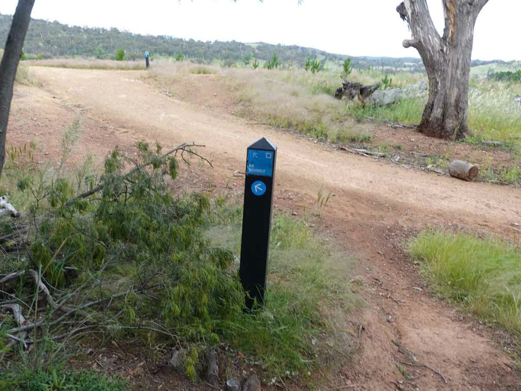
Follow the Mr Squiggle signs
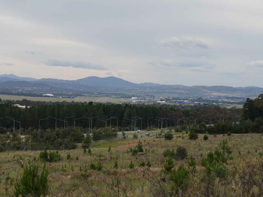
View to Canberra airport
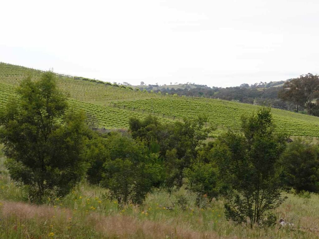
Adjacent vineyard
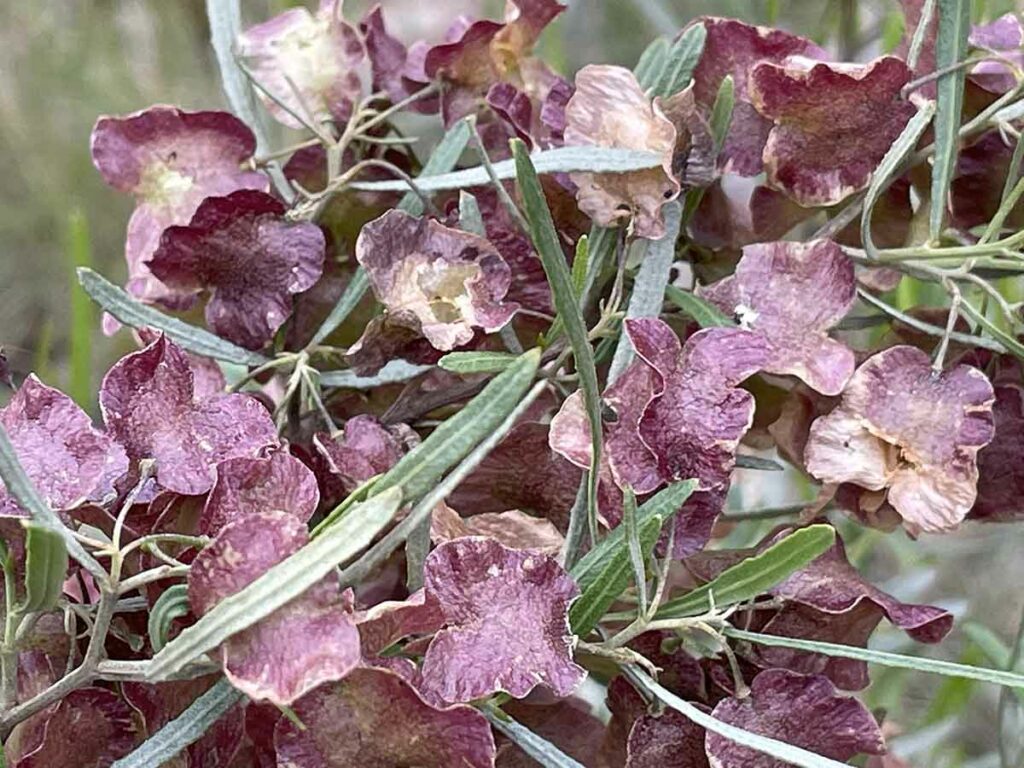
Hop Bush
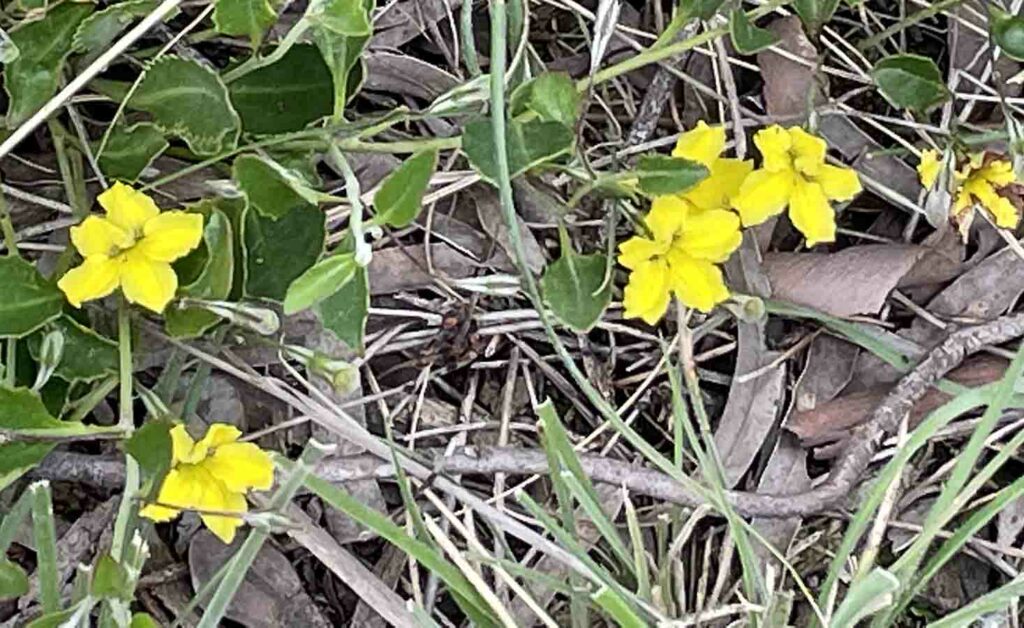
Hibertia in flower
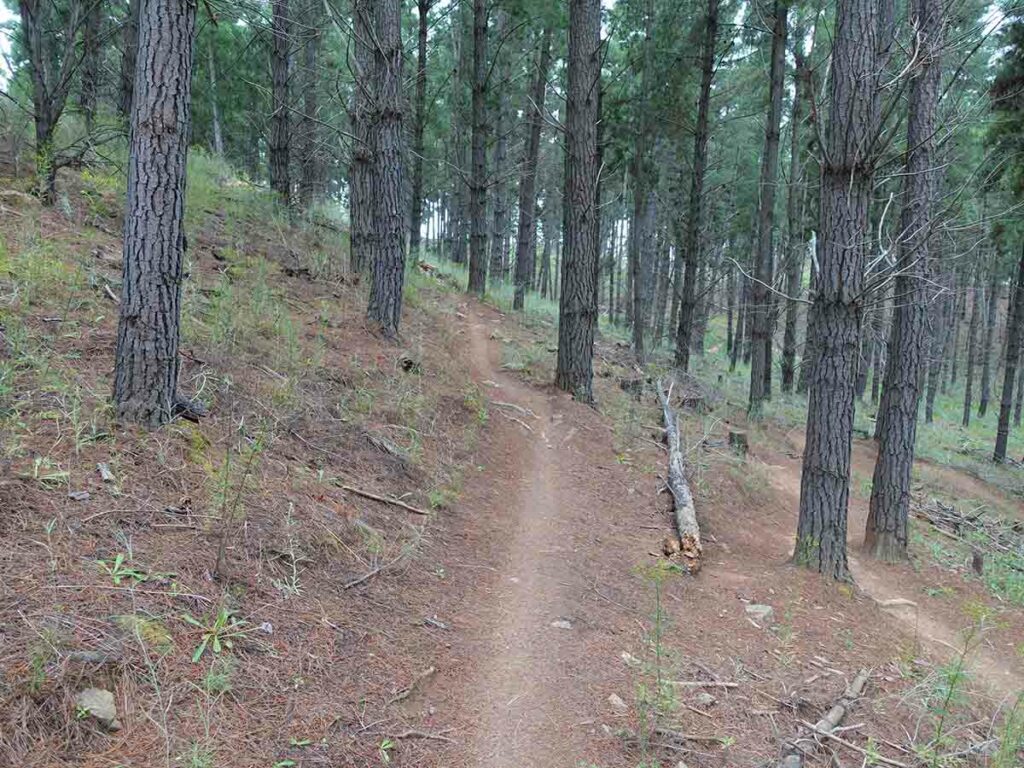
Mr Squiggle going up hill
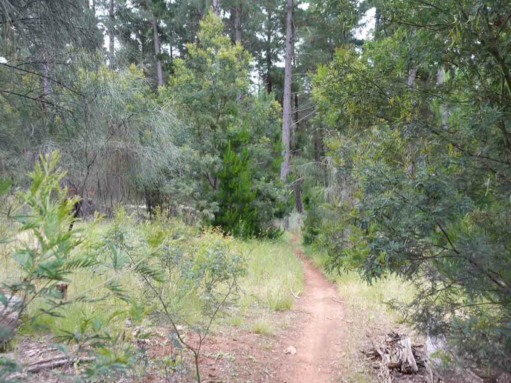
Trail example Mr Sqiggle
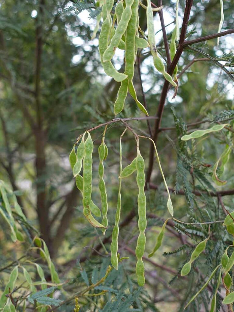
Wattle seeds forming
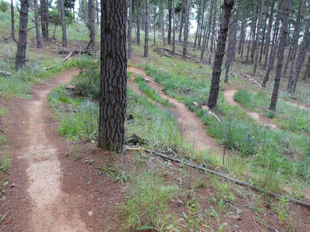
Switch backs
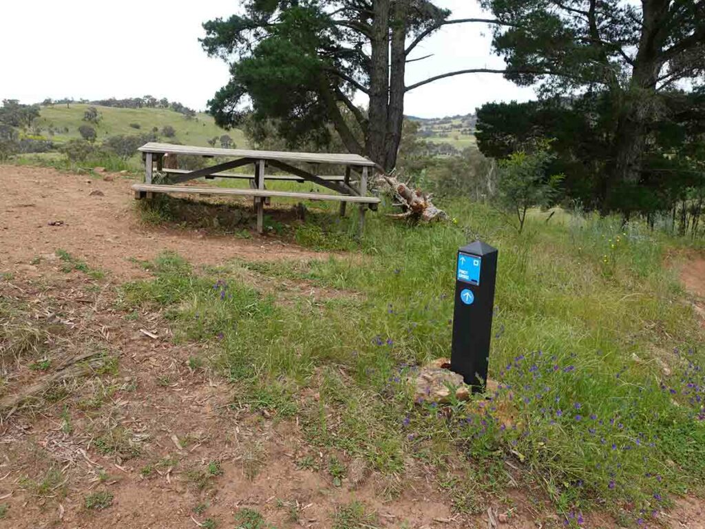
Trail high point and rest area on the northern loop end. A great place for a rest
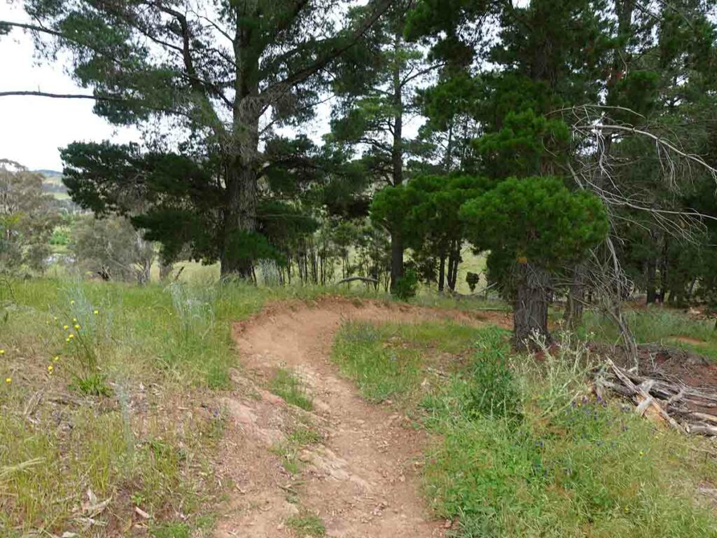
Heading down
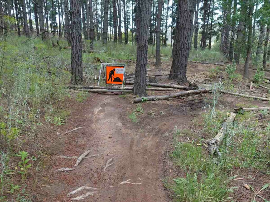
Trail repair
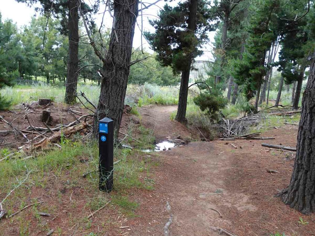
Bombora Trail. This is a series of dips and humps and on the day I did it there was waitron the bottom of all the dips
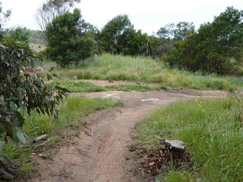
Follow the arrows
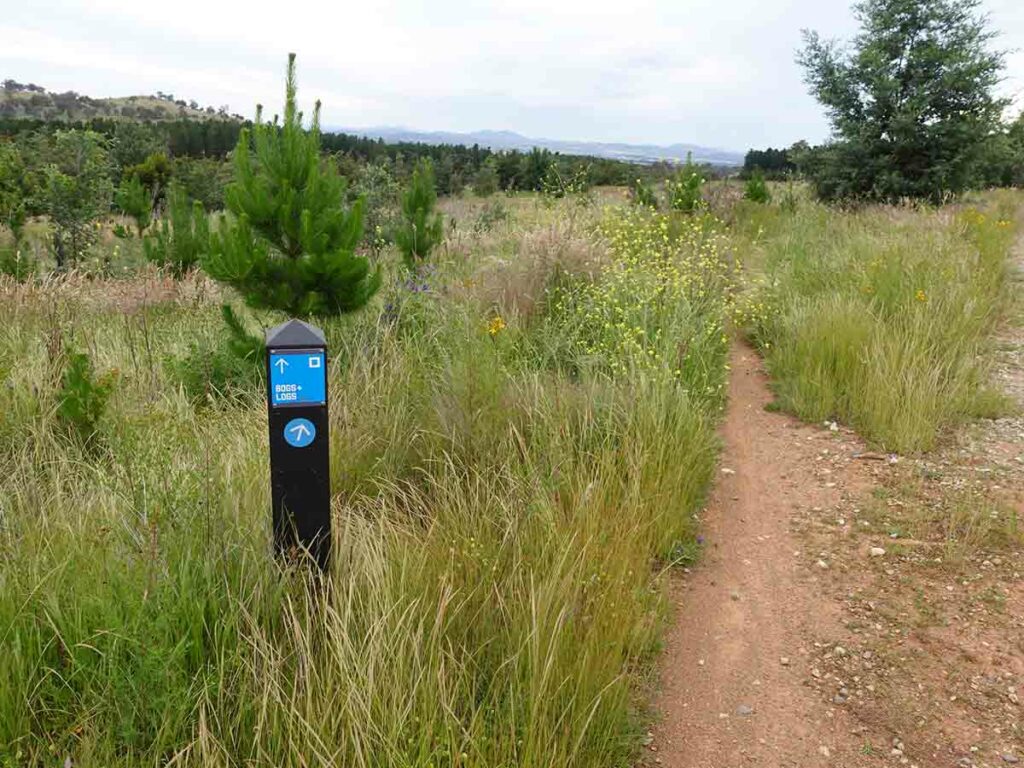
Left turn which takes on a trail through a logged area
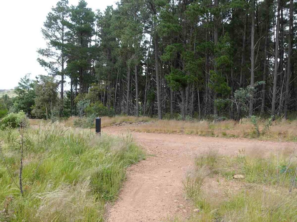
Turn left and then turn hard right
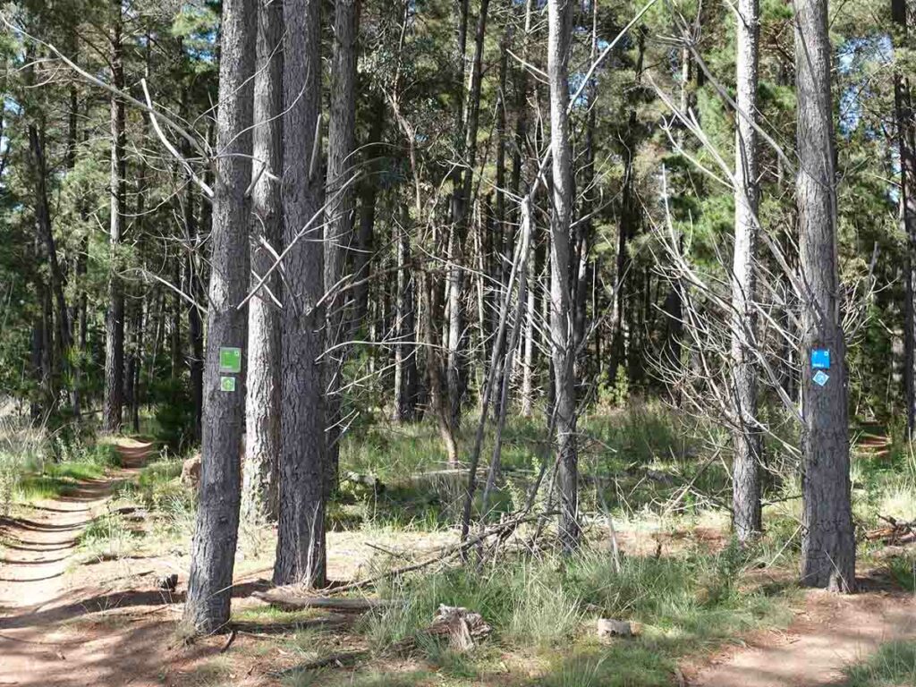
Follow the Blue Loop to the right
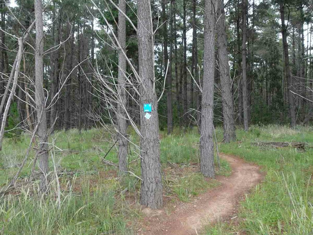
Radicle trail start
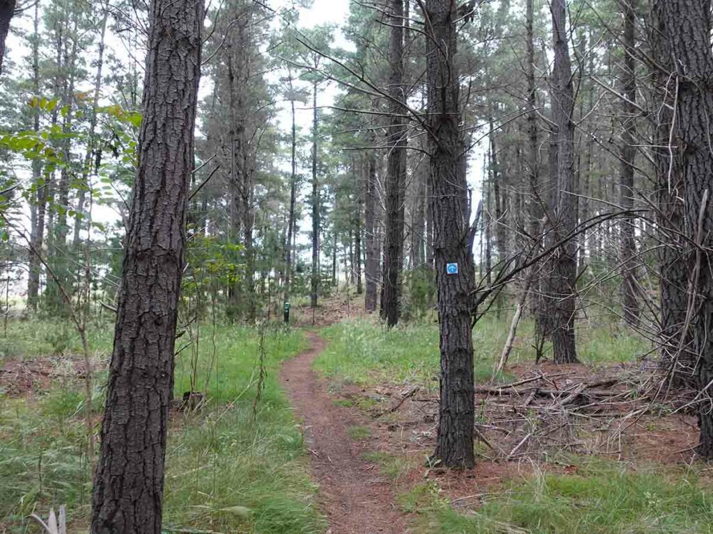
Blue Loop merges with the Green Trail
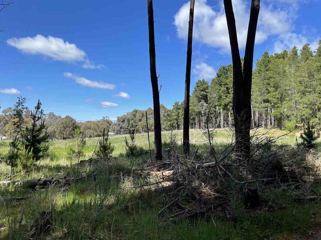
Out into the open
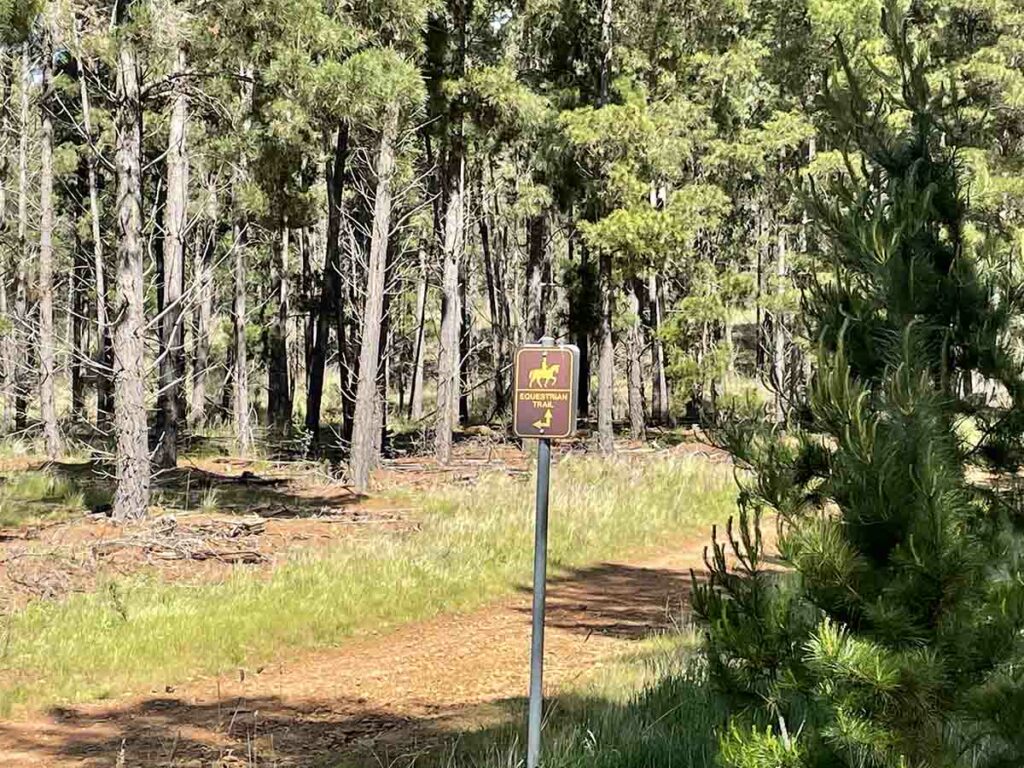
Equestrian Trail
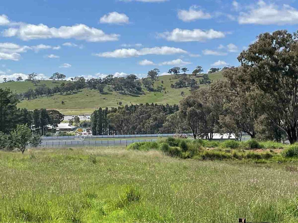
Looking down towards the roadway
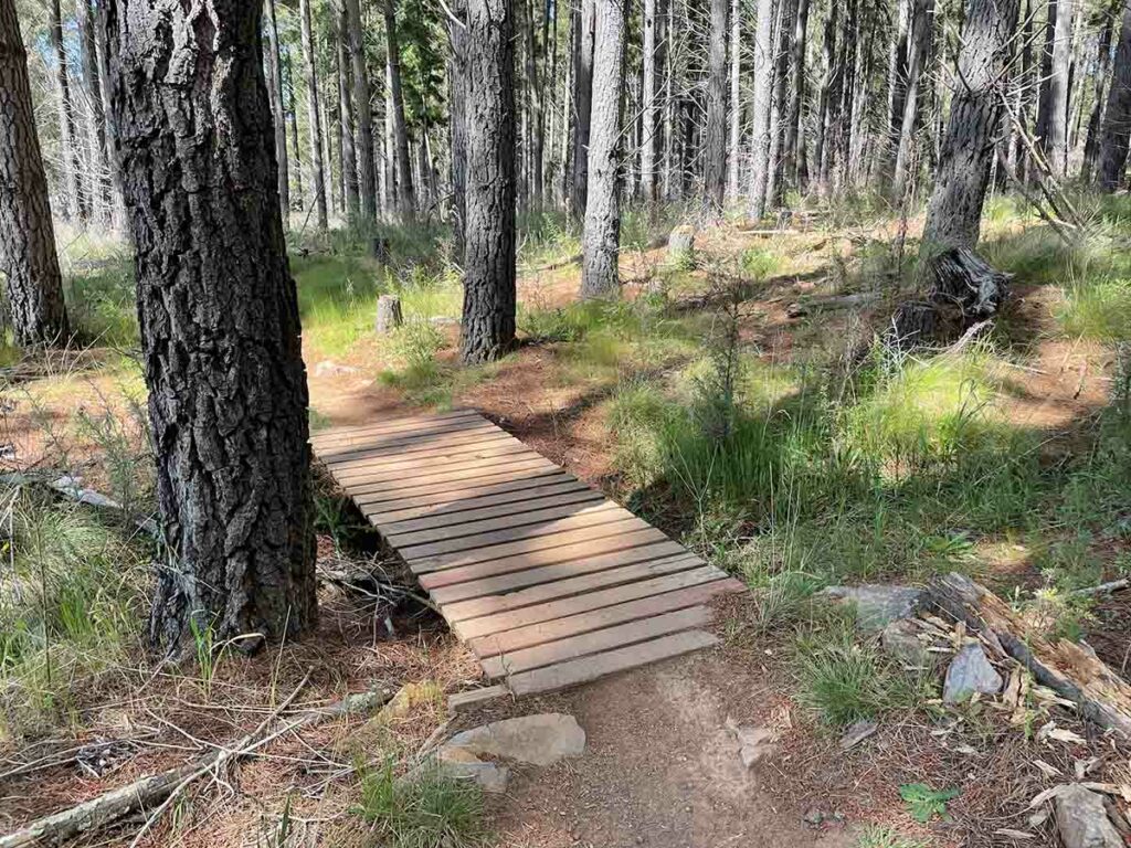
Trail infrastructure 2
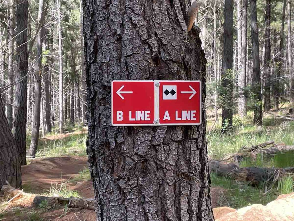
Choose your difficulty, this is meant for bikers and is only a short option
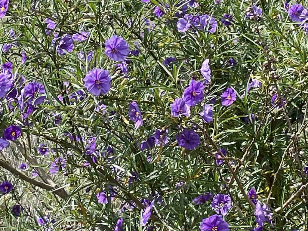
Native Solanum
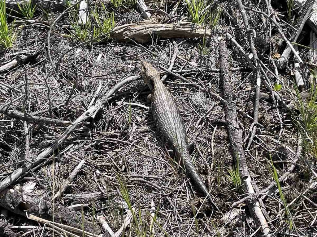
Blue Tongue Lizard
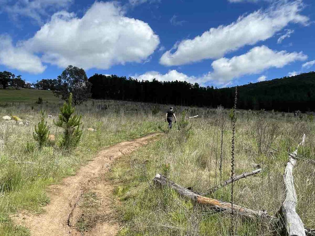
Walking across harvevested forest land
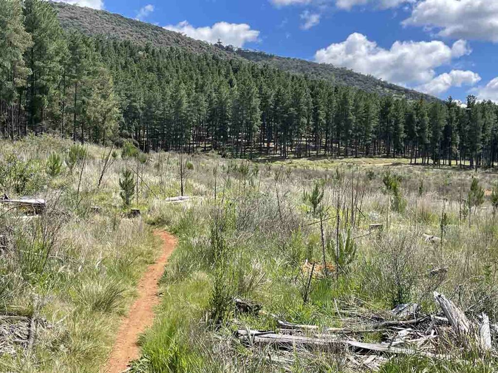
Open area 2
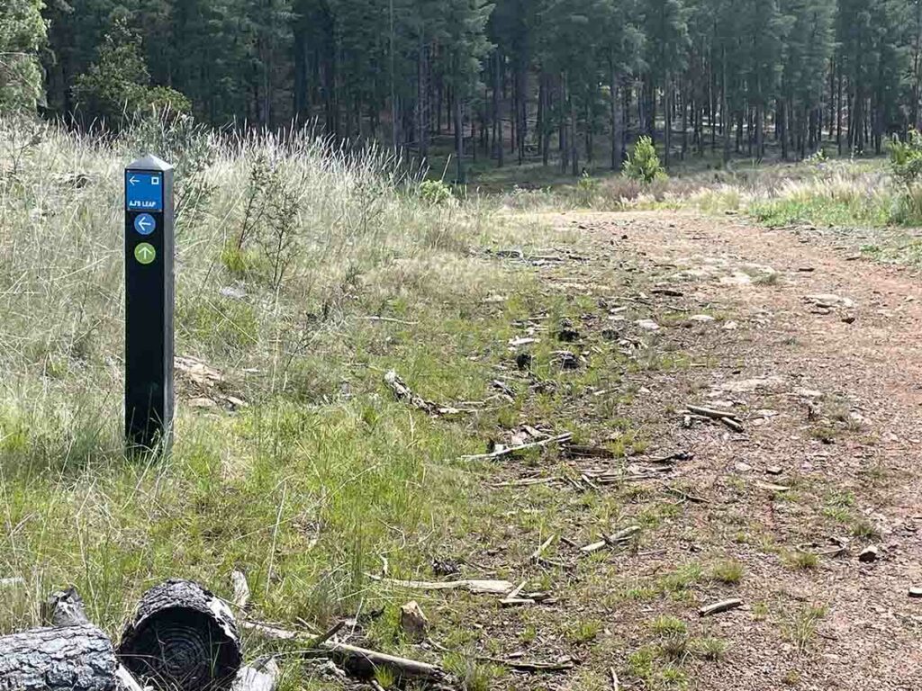
On to management road
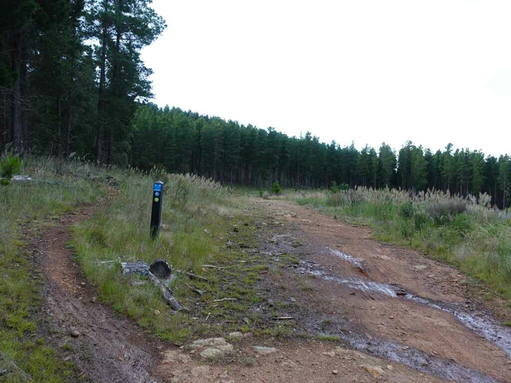
Follow the Blue Loop up. The Green Trail goes straight ahead for a bit further before turning
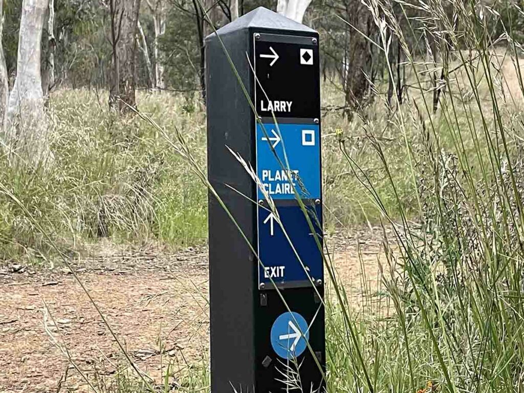
The exit sign that takes you out of the plantation and over the hill into the suburbs on the other side. Keep following the blue signs
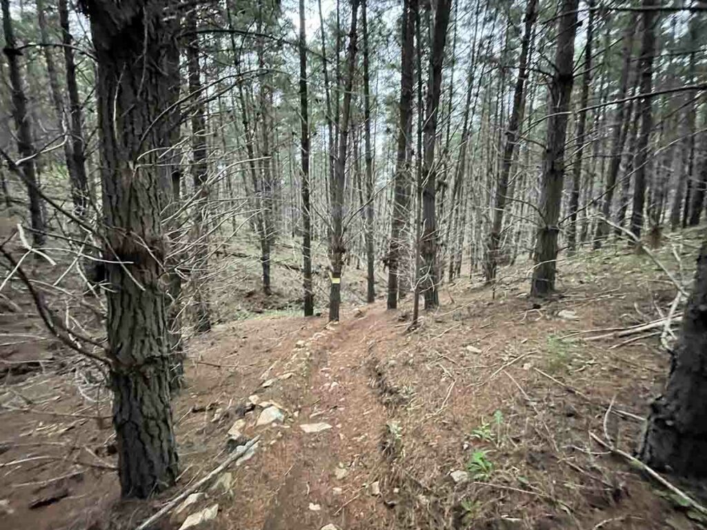
There are a number of Blue Trails that run down the hill from easy to hard. Choose your own adventure!
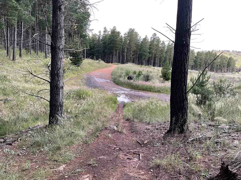
Back onto the management road
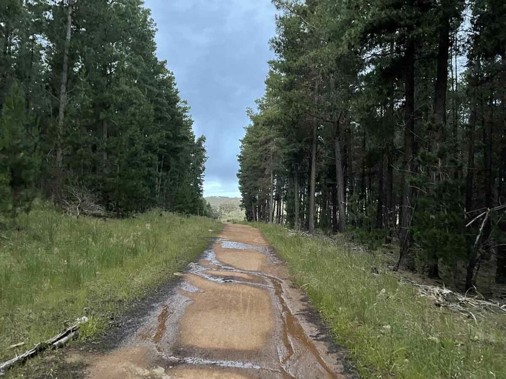
Along the management road
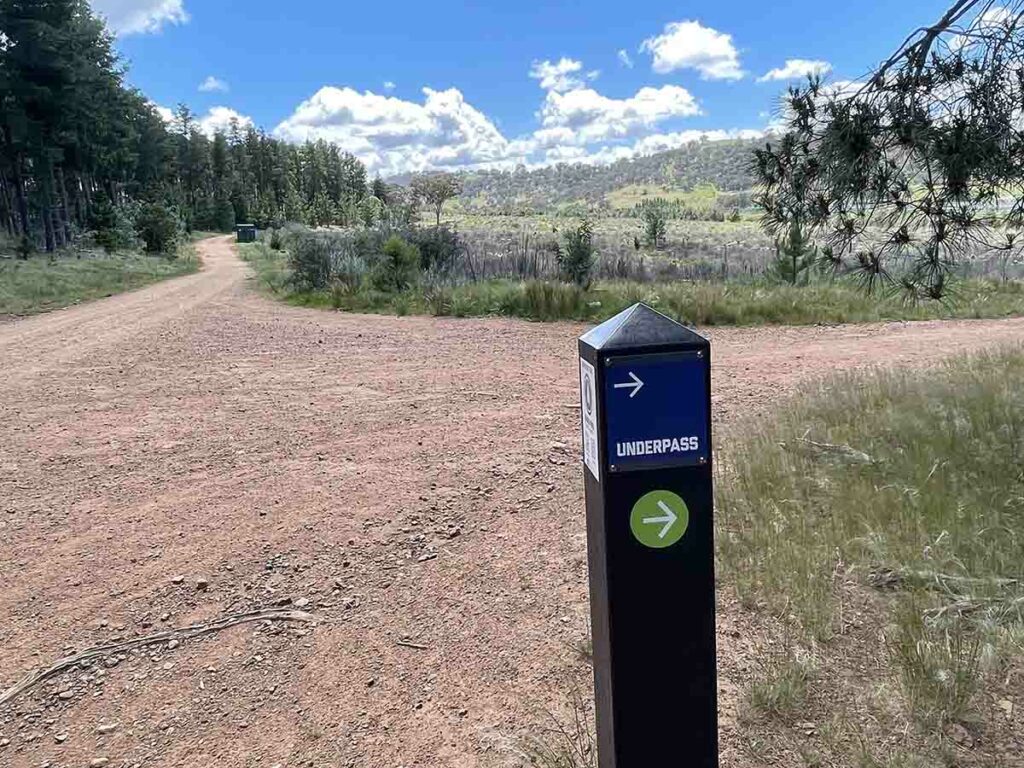
Turn right and head back towards the underpass
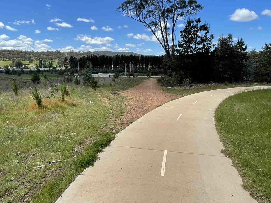
Heading home
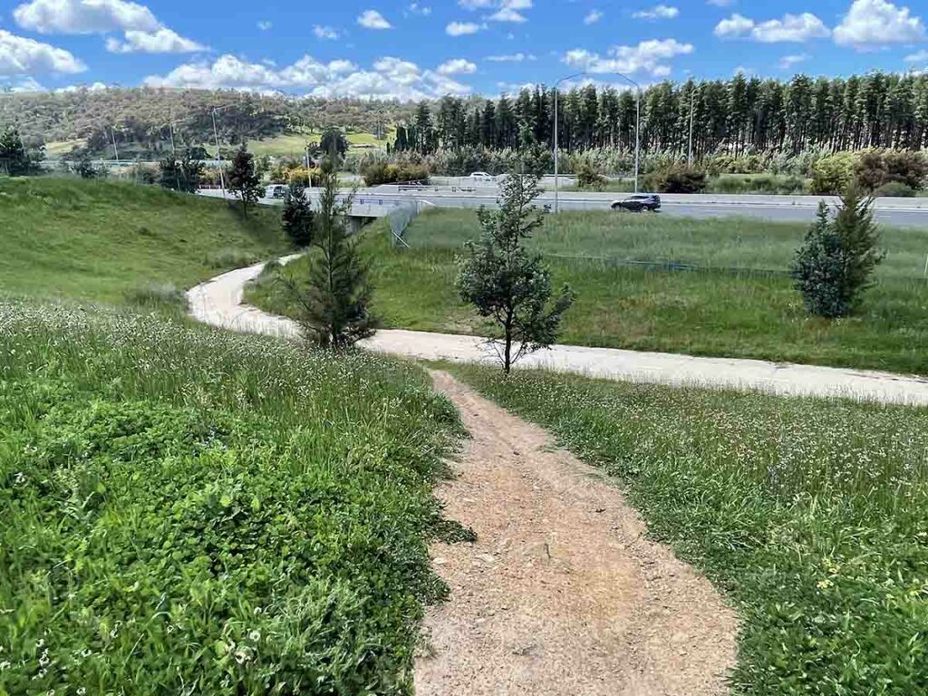
Down the slope or back down the path you came up. Your choice!
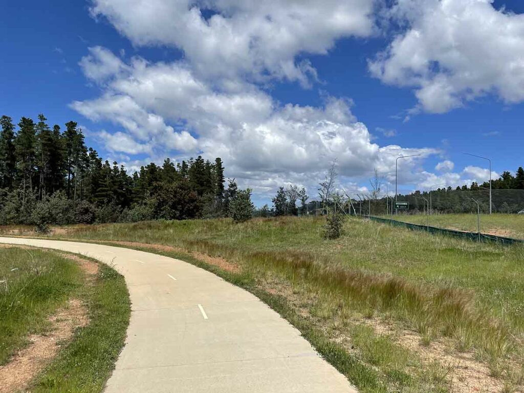
Almost back to the start
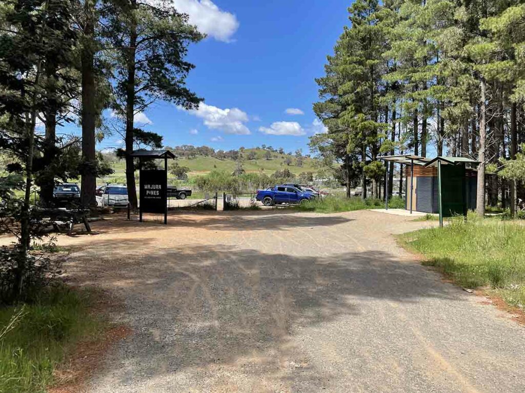
Back at the trailhead
Trail video
This short video provides a start to finish overview of this walk
Getting There
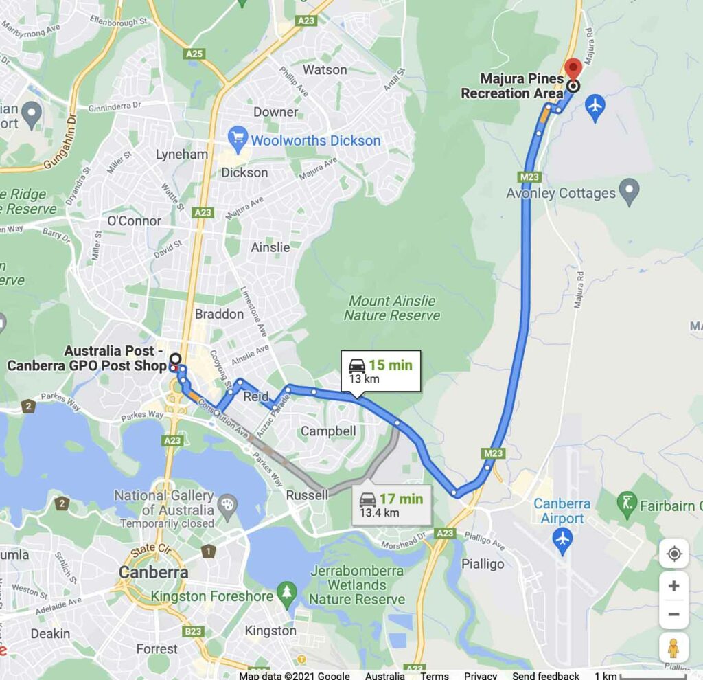
Google map showing the trailhead from the Canberra GPO. The trip from the centre of Canberra to the trailhead is approximately 13 km and around 15 minutes duration
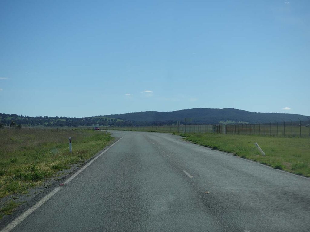
Heading along the access road
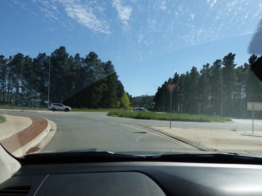
Heading towards the trailhead

Trailhead car park
Things to Know
- Phone: There is excellent phone signal on this track
- Water: There is a water bubbler at the trailhead
- Toilets: There is a toilet at the trailhead
- Trail: This trail consists of formed track and management road
- Dogs: Dogs allowed on a leash
- Other:
- This walk is done in a loop however there are plenty of options to choose your own adventure
- Keep an eye out for cyclists – given the looping on this trail, it’s easier for walkers to give way
Disclaimer
This walk was undertaken by the team from Australian Hiker