Badgerys Spur Walking Track NSW (4.9km)
Morton National Park
Nearest Town
Marulan, NSW
Best Time of the Year to Travel
Year round although its a bit cool in mid winter
Starting Location
Badgerys Spur Lookout, Morton National Park
Finish Location
Badgerys Spur Lookout, Morton National Park
Badgerys Spur Walking Track Review
We’ve been progressively making our way through the walks in Morton Nation Park and we’ve had this one our list for a while, deliberately holding off on it because we knew it was going to be a tough one. First up lets talk about the details. The NSW National Parks Service lists this walk as a 3.5 km return walk however on the day my GPS measured this walk at around 4.9 km. Where the park website is consistent with our experience is in relation to the time needed – they say to allow 3.5-4 hours to walk this track. We took just under 3.5 hours which included a morning tea break at the river at the bottom of the gorge and lots of rests on the way back up!
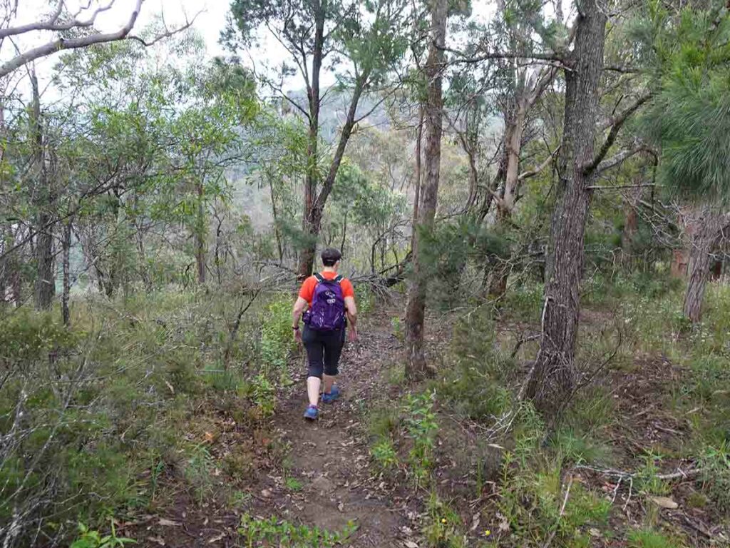
The walk starts at the end of the car park at the Badgerys Spur Lookout. Getting there is quite easy; just enter ‘Badgerys Spur Lookout’ into Google maps and you will very easily get the directions to arrive at your starting point. The Badgerys Spur Walking Track is an ‘out and back gorge walk’ that takes you down from the Badgerys Spur Lookout to the Shoalhaven River below. Having done similar walks in the region previously, we expected to have a hard walking experience and that’s what we got. Parts of the track also look like runoff points so I would be disinclined to do this walk after periods of heavy rain as it could get quite slippery.
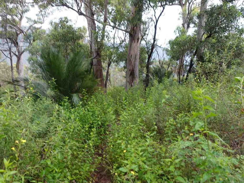
The walk down is on a track that is overgrown with weeds in many places, steep and in a couple of places, a bit precarious. This trail definitely needs some TLC to bring it back to its best. In addition there is no signage on this trail so you need to trust that the trail you are own is the right one. Having said that the trail is obvious almost the entire way. You do come close to some drop-offs on a couple of occasions so you will need to focus on your footing. While you do need to keep away from the edge of the drop-offs, its more about not stepping too close to the edge otherwise you could lose your footing and are likely to slide about 10 metres down the slope. I wouldn’t recommend this walk for small children.
This track has a very steep grade, something that my knees didn’t like on the way down. On the way back up I took lots of breaks but it really got the heart pumping. On the day that we did this walk the humidity was very high, something that I hate when I hike, and we had intermittent and then steady light rain so between the humidity, the rain and the wet weeds lining sections of the track, my pants were saturated. Thankfully I didn’t get cold because the temperature was quite pleasant.
One thing worth mentioning is that as we approached the summit on the return, we opted for what appeared to be a worn trail that avoided the small section of rock scrambling. This alternate return was quite muddy and wasn’t really a designated trail so its best to stick to the formal track.
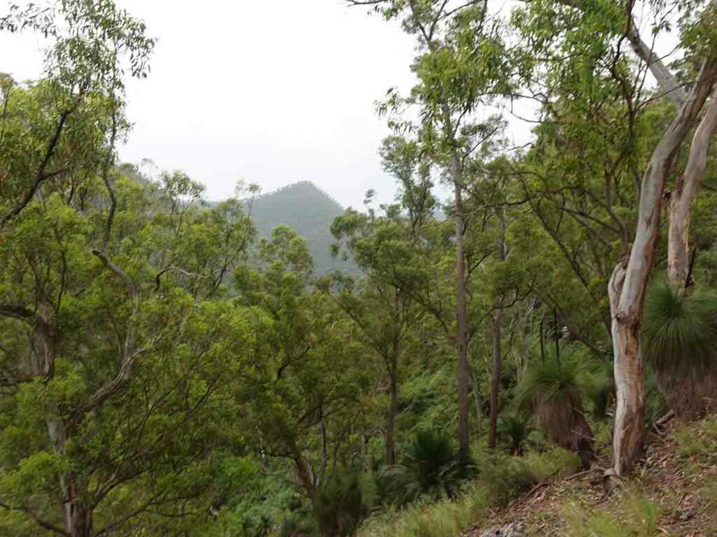
Animal life on this track was limited on the day but we did come across a male Lyrebird near the summit and a poor little Bearded Dragon (lizard) on the edge of the trail hoping for some sun without much luck so it was a big sluggish. Birdlife was plentiful but it was more about hearing the birds rather than seeing them. The expansive views are what this track is all about – you catch glimpses of the river and the adjacent ridge lines as you progress your way down and up on this track.
We came across two groups of campers who were making their way down to the river to make a weekend of the trip which is a good option for this walk. We had a chat to one of the campers who said this was his third visit and on this trip, the river was much higher and flowing quite strongly so swimming wasn’t really an option on this visit.
Now for the burning question, would we recommend this walk? Overall I’d say yes its worth doing at least once however if I was looking for the same style of walk and only had one opportunity I would do the White Walk in nearby Bungonia National Park. The views on the White Walk are better, the natural environment has a better feel and the camping location is also much nicer down near the river.
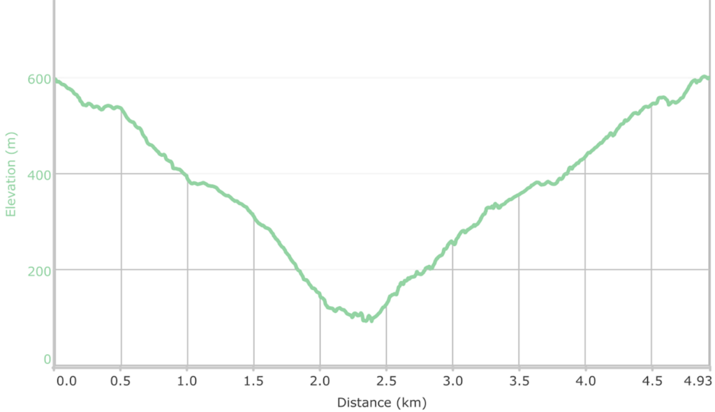
Elevation profile of the Badgerys Spur. Track The hardest part of the trail is the last quarter down and back up to/from the river
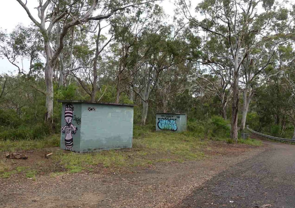
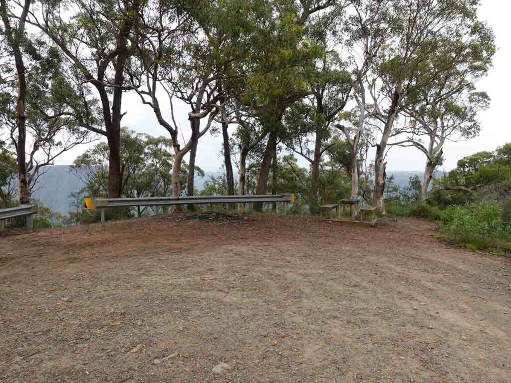
Toilets at Badgerys Spur Lookout
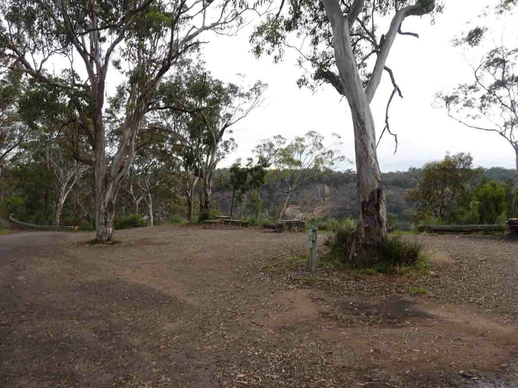
Picnic areas and car parking at Badgerys Spur Lookout
Badgerys Spur Lookout
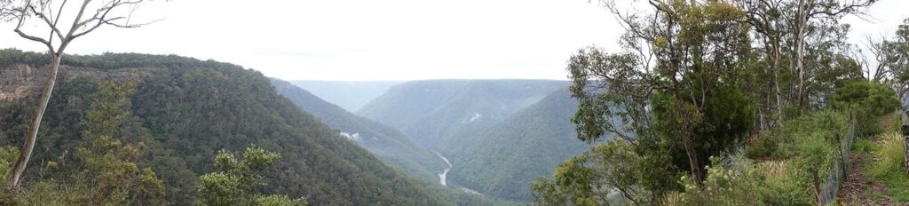
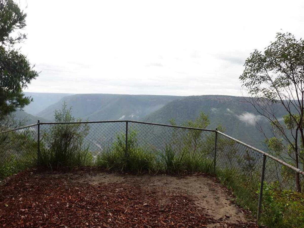
View from Badgerys Spur Lookout
Trailhead towards the right of this image
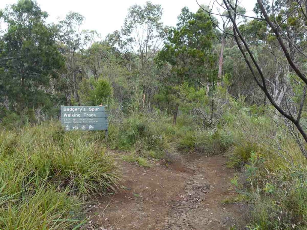
Trailhead for Badgerys Spur Walking Track
Trail example 1 on Badgerys Spur Walking Track
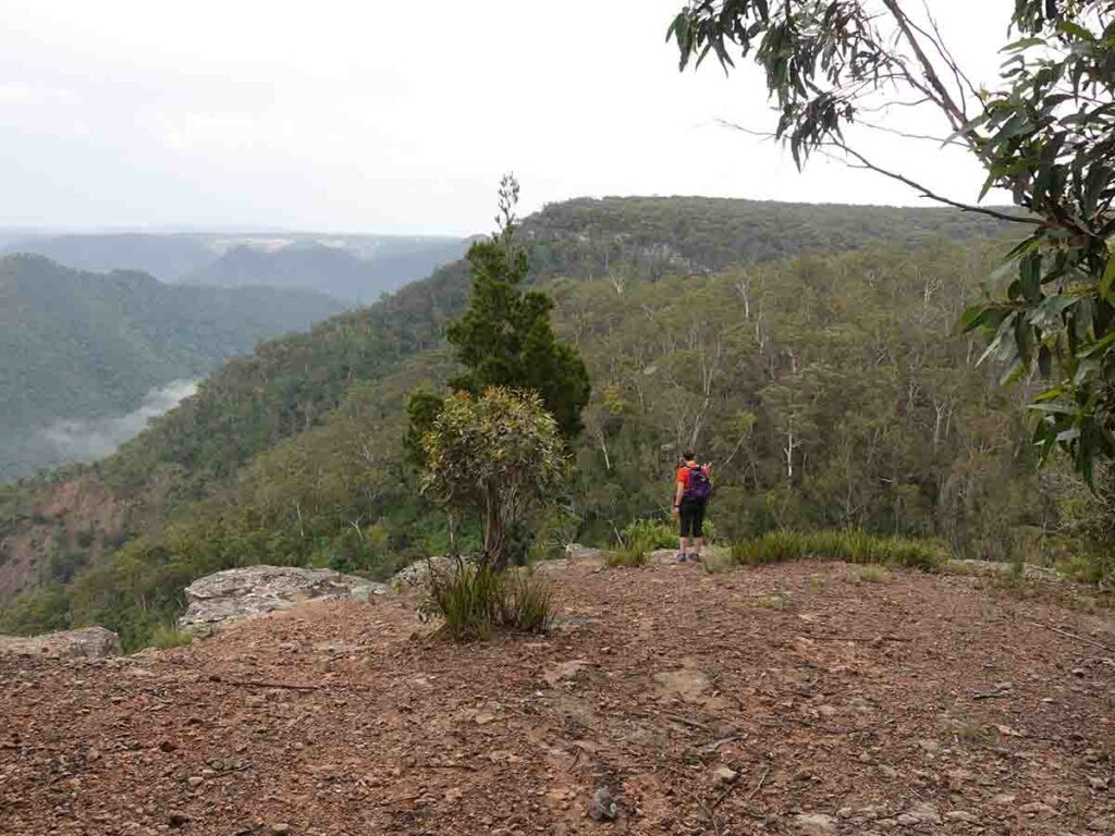
Viewing area Badgerys Spur Walking Track
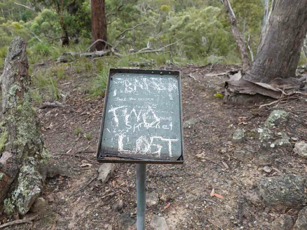
Signage what signage?
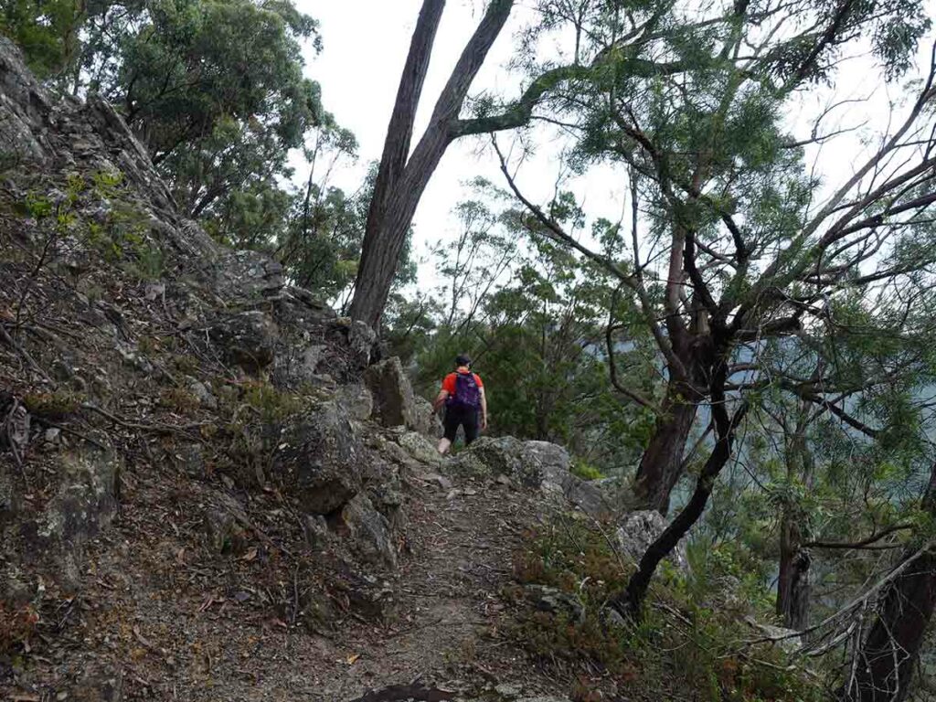
Trail example 2 on Badgerys Spur Walking Track
Trail example 3 on Badgerys Spur Walking Track
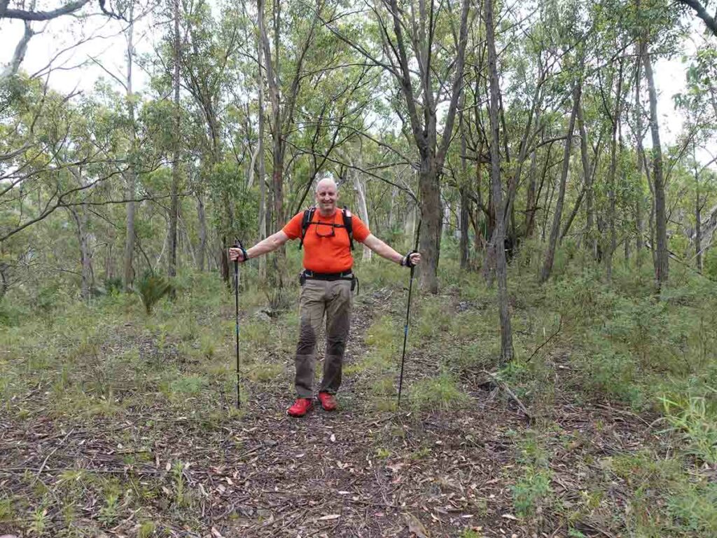
Tim on Badgerys Spur Walking Track. Notice his wet legs – he’s just walked thru a heavy weeded area that was very wet
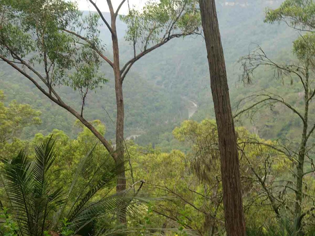
View down to the Shoalhaven River below
Large Macrozamias on trail
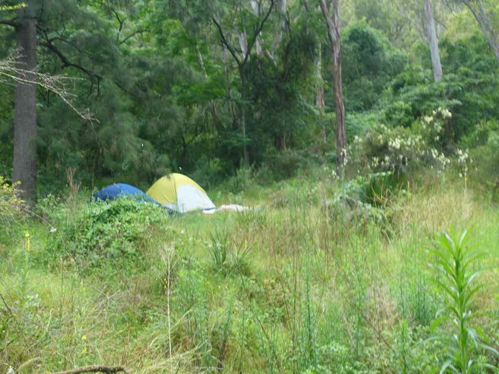
Campers on the Badgerys Spur Walking Track at the bottom of the gorge
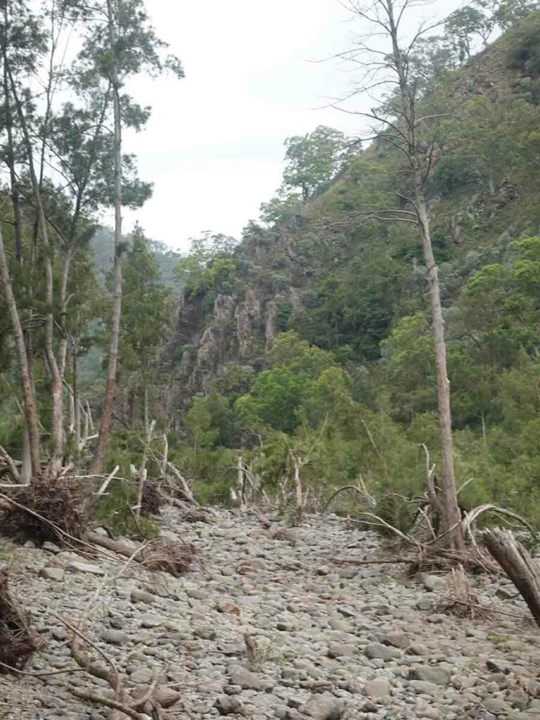
View across the river to the facing rock
Taking a break on the way back up at Badgerys Spur
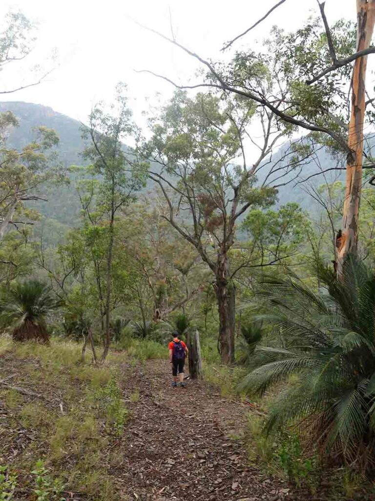
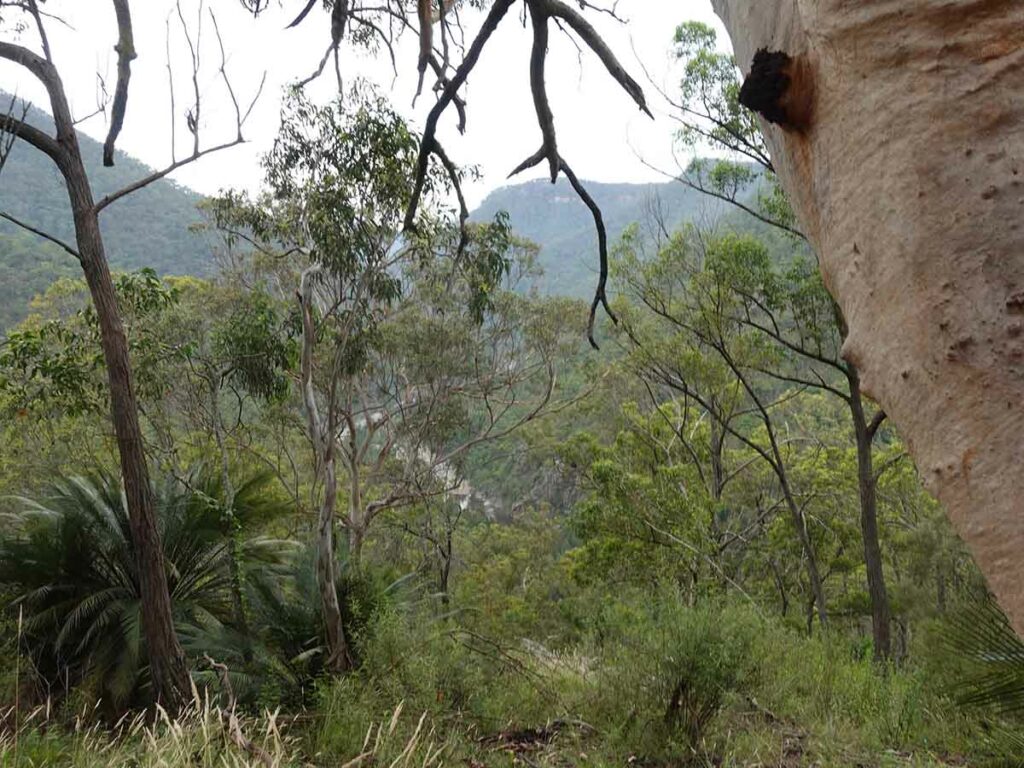
View on the way back up
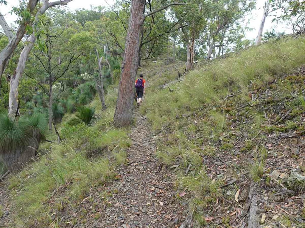
Heading back up Badgerys Spur
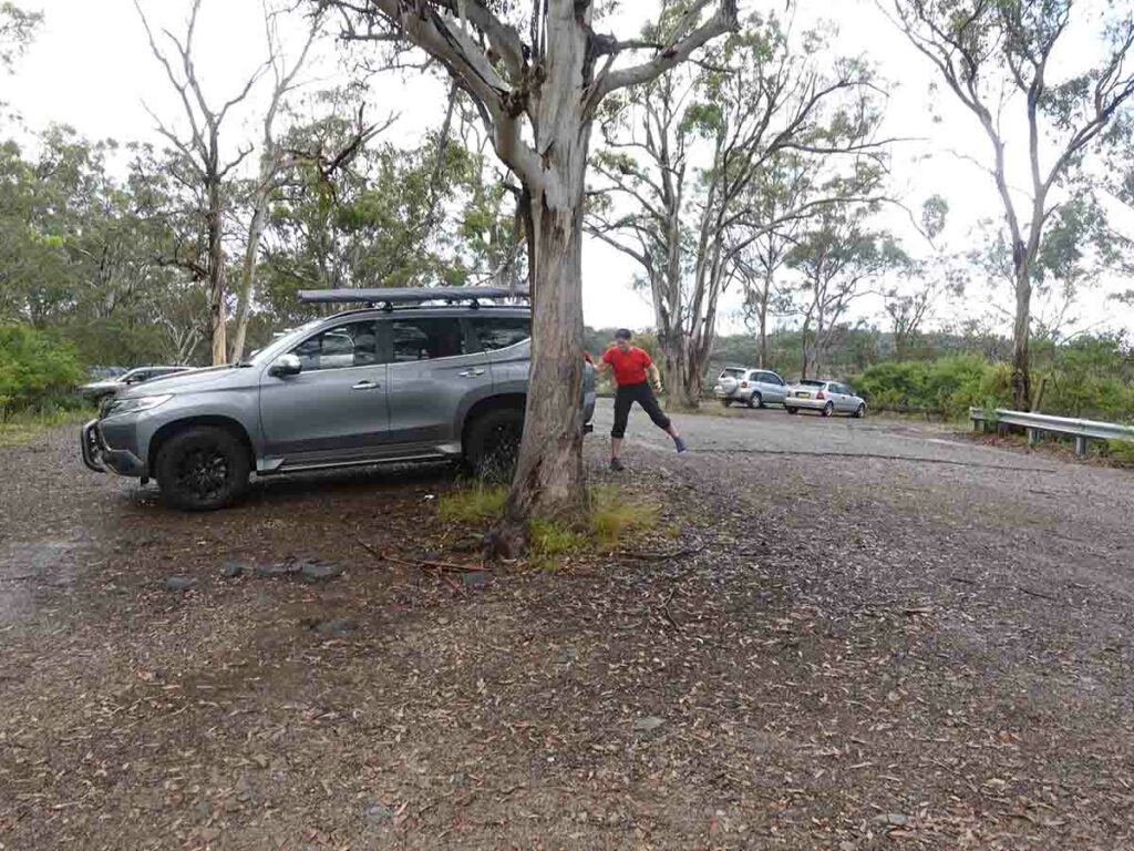
Back to the car at Badgeys Spur
Trail Videos
This short video contains photos and videos to show you the walk from start to finish
Getting There
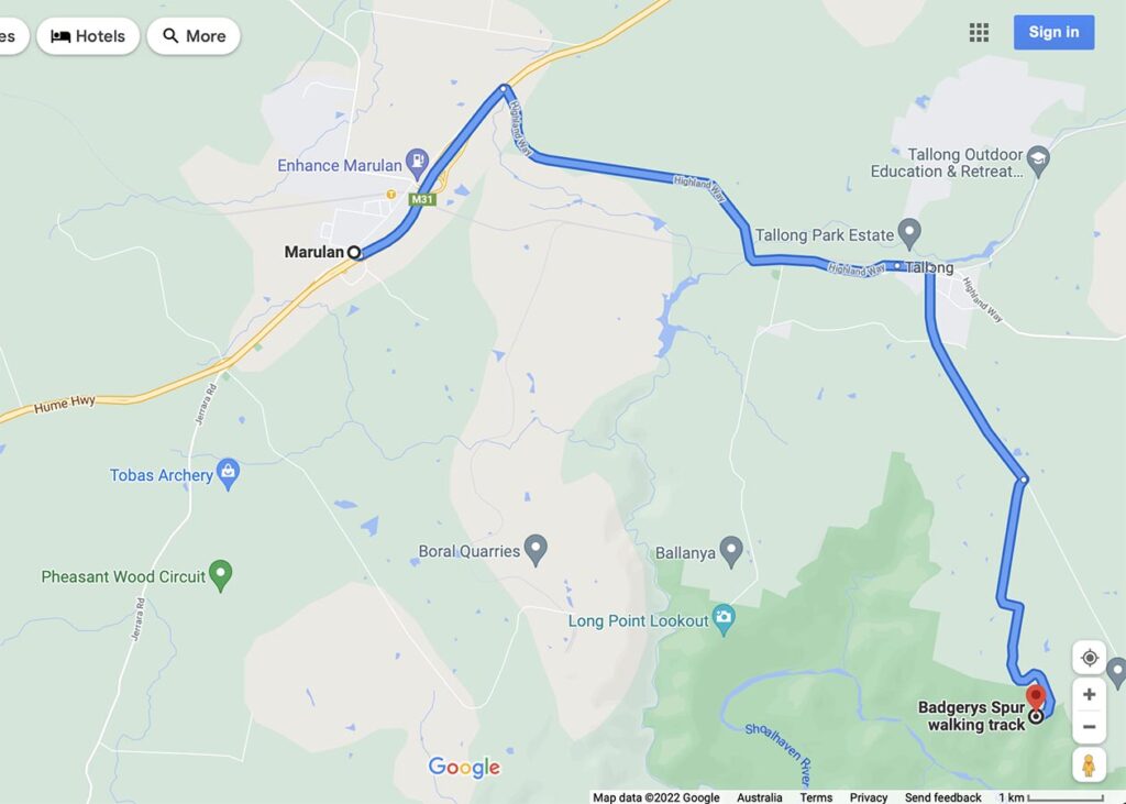
Google map from Marulan, NSW. The trip from Marulan is around 18 km from the highway and around 20 minutes driving
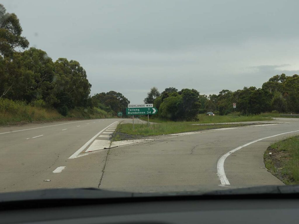
Turning off the Hume Highway at Marulan onto Highland Way
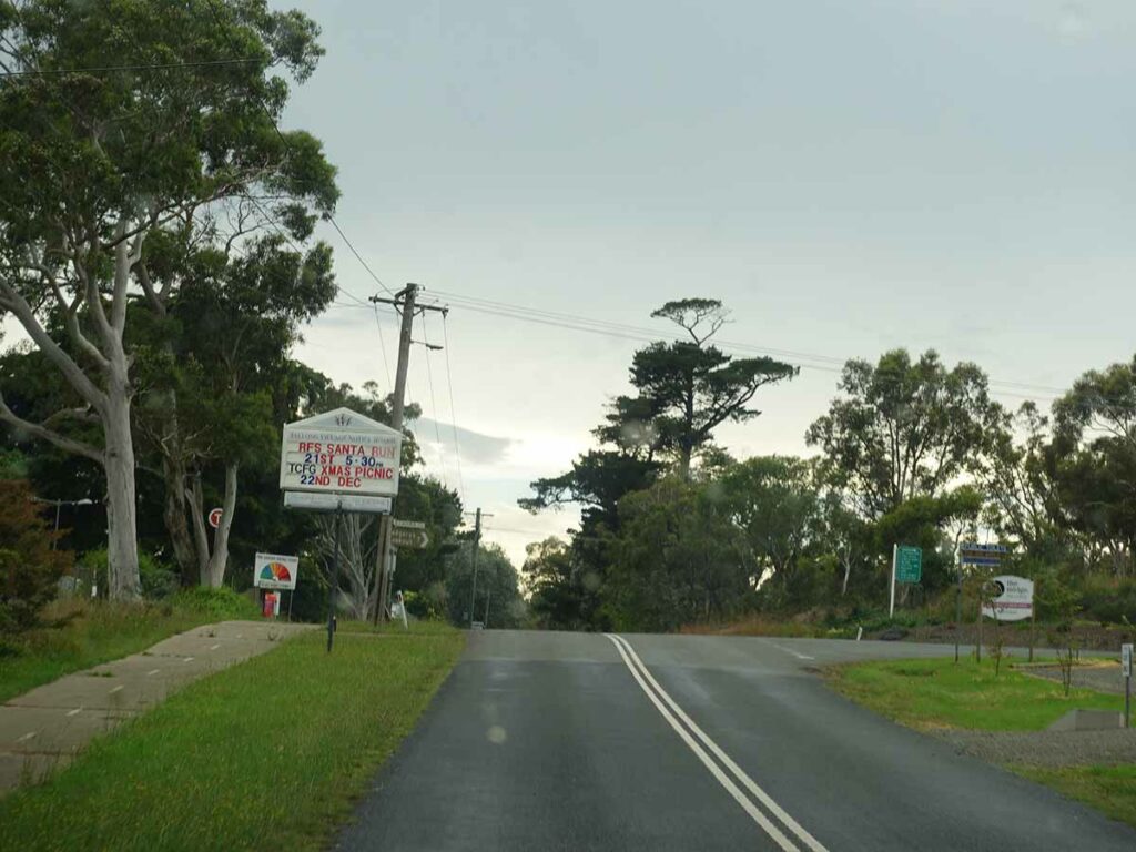
Turn right on to Caoura Road at Tallong. There is a small general store on the right hand side of the road at the turn off
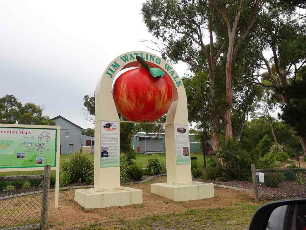
The Big Apple – who knew this existed? This is another reason for using the roads less travelled so you get to see all these small rural communities
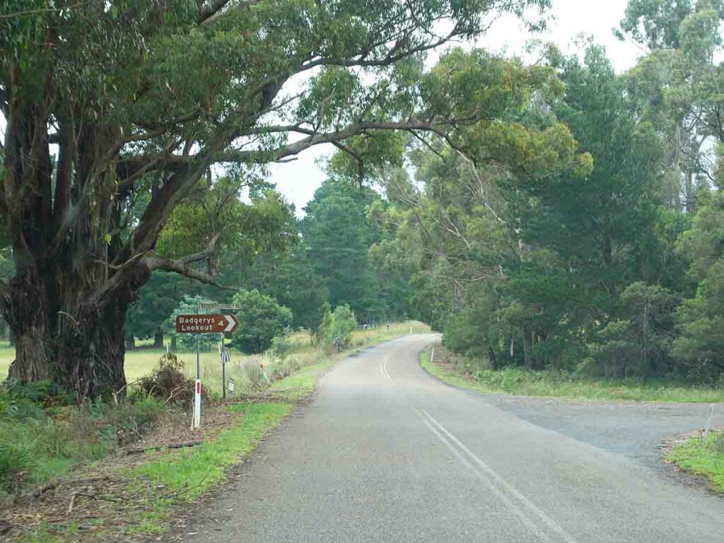
Turn right on to the Badgerys Lookout Road – 4 km to go
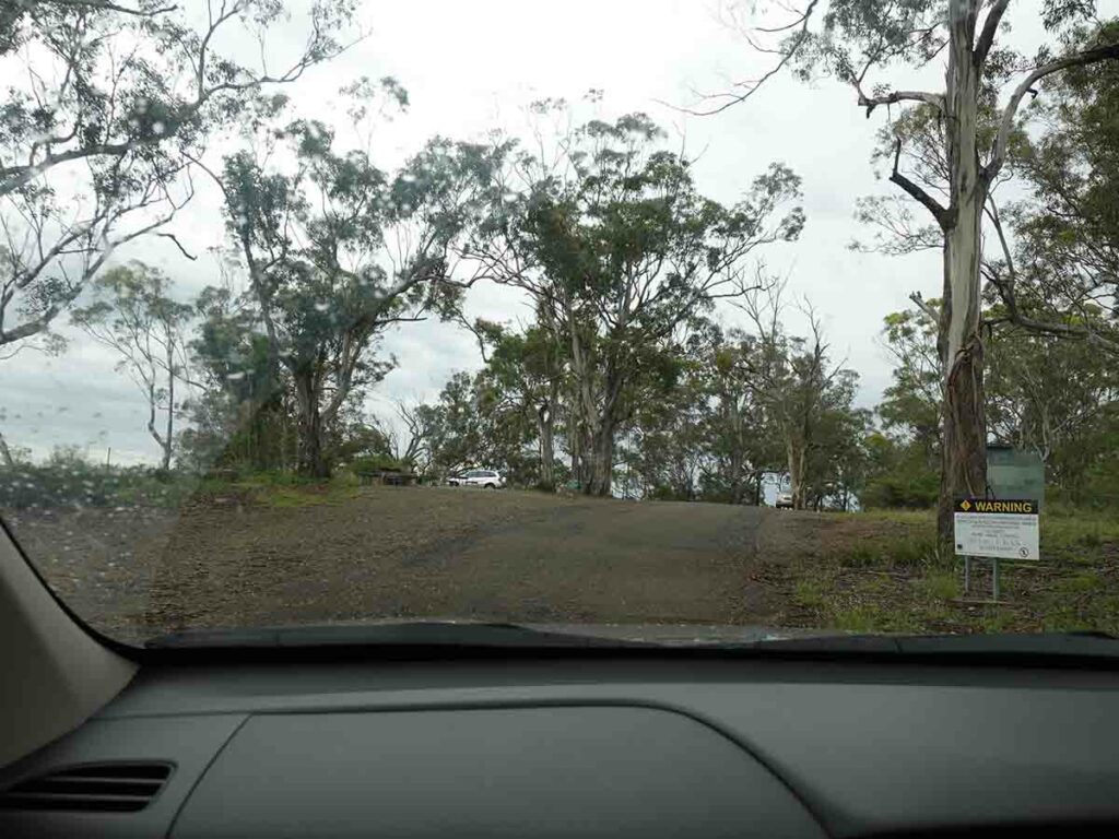
Arriving at Badgerys Spur Lookout
Things to Know
- Phone: There is variable phone signal (Telstra) on this track (mostly on the upper reaches and nothing lower down)
- Water: You need to bring your own water or a filter if using river water
- Toilets: There are toilets located at the lookout car park
- Trail: This walk is an ‘out and back’ experience
- This trail consists of formed track
- The trail is weedy and in need of some loving
- Keep an eye on people in your group so they don’t get too close to the steep drop offs
- There will be slippery sections on the trail after periods of heavy rain so watch your footing and use footwear with good traction
- Dogs: No dogs allowed
- Camping: Allowed
- Other:
- This is a very hard walk so great if you want to build up your fitness
Disclaimer
This walk was undertaken by the team from Australian Hiker