Turn left
Lets have some fun!
When we asked our community for some ideas for podcasts and articles. One of the innovative topics raised was doing a hike where we only turn in one direction. Recently we put that into practice and while we thought we would have a bit of fun with this walk, we didn’t expect to learn some things about ourselves and our hiking skills along the way.
In this article we lay out the ground rules for this hike, bring you a series of on-trail photos, and finish off with some lessons learned that may aid you in a similar adventure. For us this was a unique walk and one that we were glad we did. Read on to find out more.
Why did we do this walk?
Over the past few months we have found ourselves with even less free time than we usually have so the opportunity to go for a walk has gotten harder and harder. Add in travel time, it often ends up taking most of the day. But what if you can look at those familiar walks in a different way? When a member of our hiking community made a suggestion about doing a walk where you only turn in one direction, that piqued our interest and over the past month we allocated the time to give it a crack!
Setting the ground rules
In doing this walk the ground rules were arbitrary and totally up to us; this really was a ‘hike your own hike’ (HYOH). In the case of our adventure we decided on the following criteria:
- Pick a starting point close to home so no vehicles were involved
- Take no more that four hours to complete (approximately) because that’s the available time we had to commit to a hike
- Only turn left
- For me this was based on a Doctor Who episode titled “Turn Left” with the premise that in turning left, instead of right, it changed the course of the future
- Taking a right hand bend was allowed so long as we are following the trail and didn’t turn right
- Going straight ahead was also allowed – otherwise we would just end up doing a circuit around our starting location and ending up back at the same place shortly after we started
- Avoiding going off-trail/road
- We didn’t define the definition of a trail too tightly here but the aim was to avoid going bush
- Involve bushland where we could as opposed to just walking around the suburbs
- Approximate distance/time
- Aiming for less than four hours, give or take
- Distance wasn’t a factor, just time
- In addition the day we chose was going the be one of the hottest in the past year so we wanted to avoid the excess heat
- And last but not least, do the least amount of planning so there was some level of the unknown
- If you spend time with some mapping tools you can plan a hike like this to death but where’s the fun in that? In our case this ended up being one of the highlights of this hike.
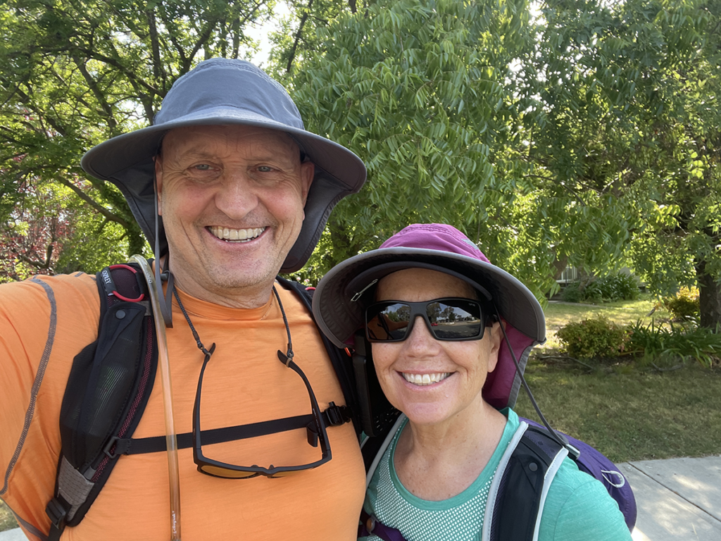
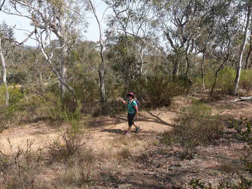
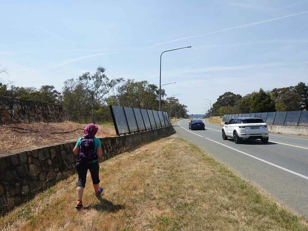
Tim and Gill at the start of the walk
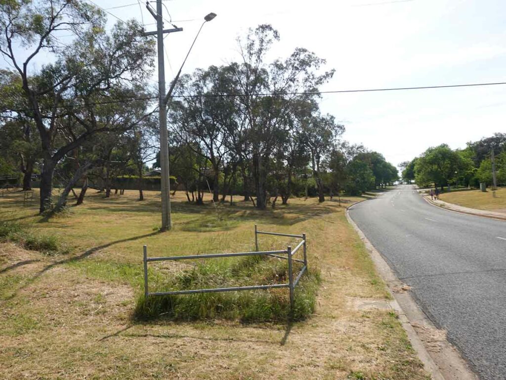
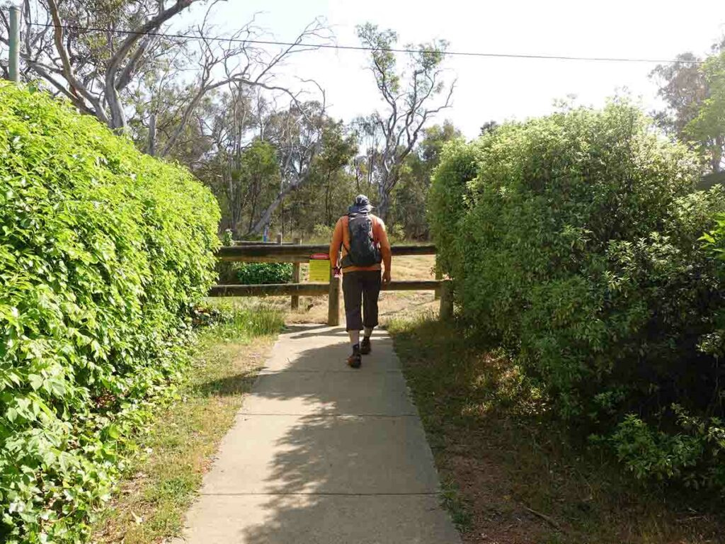
And we’re away, walking along the lefthand side of the road with the plan of turning left at a section of open space
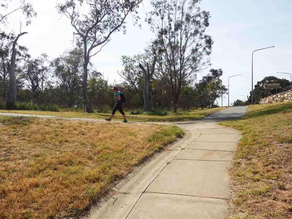
First turn left
We walked along the open space heading straight with the aim of going through this underpass which would take us close to the base of Mount Ainslie, our local mountain
After exiting the underpass, the trail looped right but very soon turned left
In choosing the route we did we ended up heading back into the suburb rather than into the bushland so we had to work out how we could get back towards the mountain and into bushland
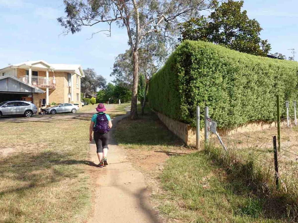
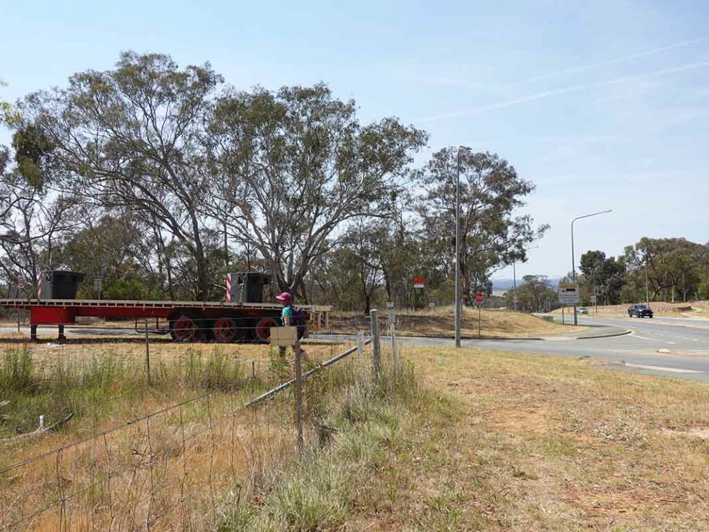
Down the street and tun left into a laneway
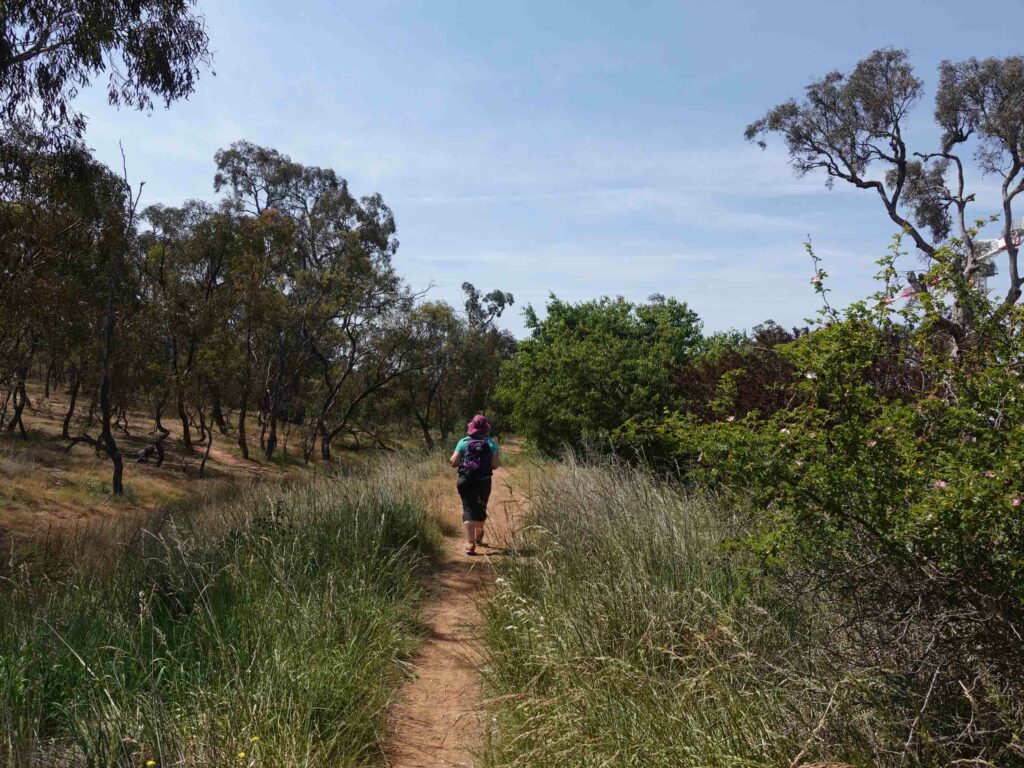
Down the laneway. This ended up looking like we were doing a square on the map but after we turned left at the end of the laneway, went straight ahead and then turned left we were on the correct route to take us into bushland
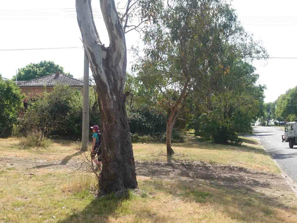
About to go onto Mount Ainslie
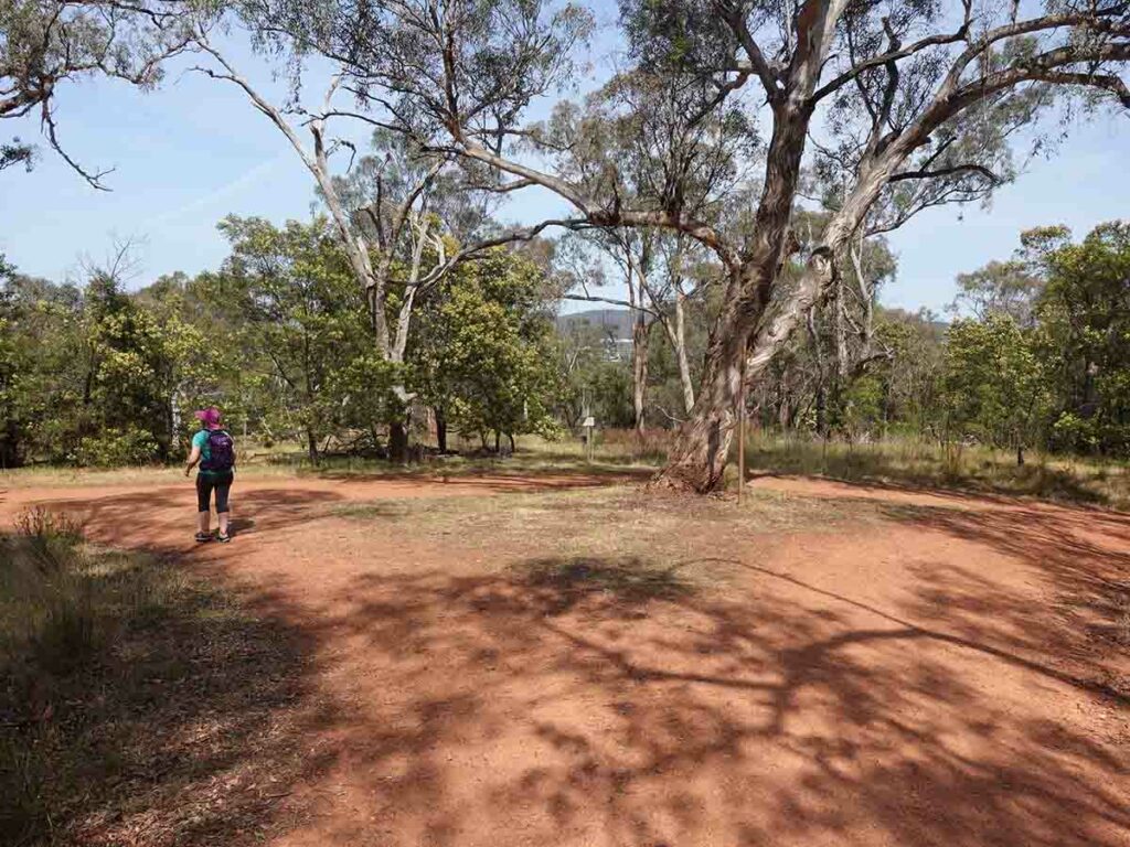
Whoops! I know this bushland and its network of trails really well but I forgot about this intersection. Normally it wouldn’t be an issue but in setting the goal of going left or straight ahead we ended up having to turn left and loop back around to again be able to head up Mount Ainslie
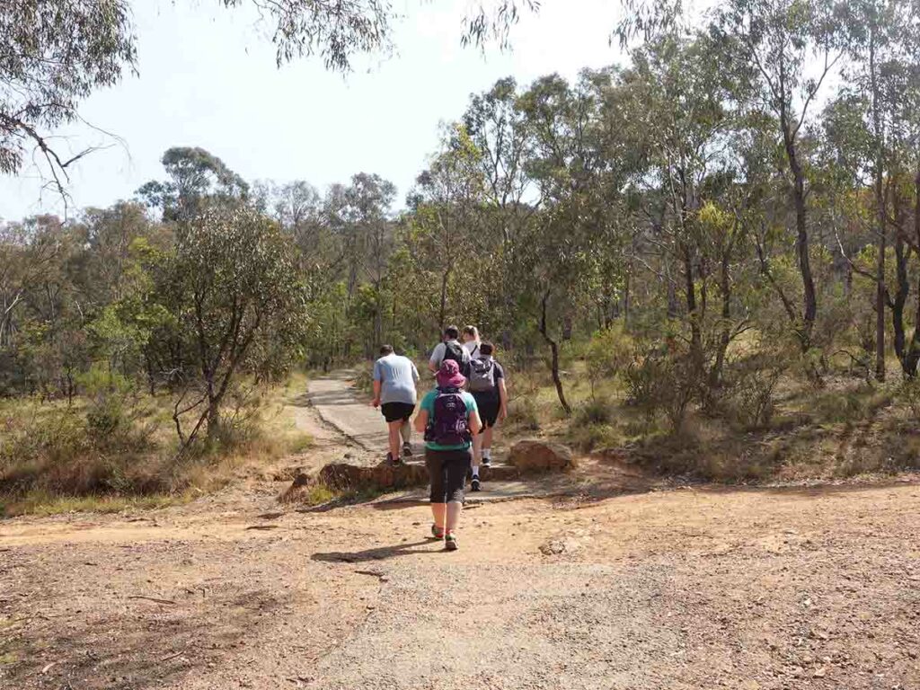
Heading up Mount Ainslie on the ‘Kokoda Track‘ which is the Mount Ainslie Summit Trail
There is a trail here but not a formal trail but we decided that this was acceptable. Had we kept on going we would have added about 3 km to our walk!
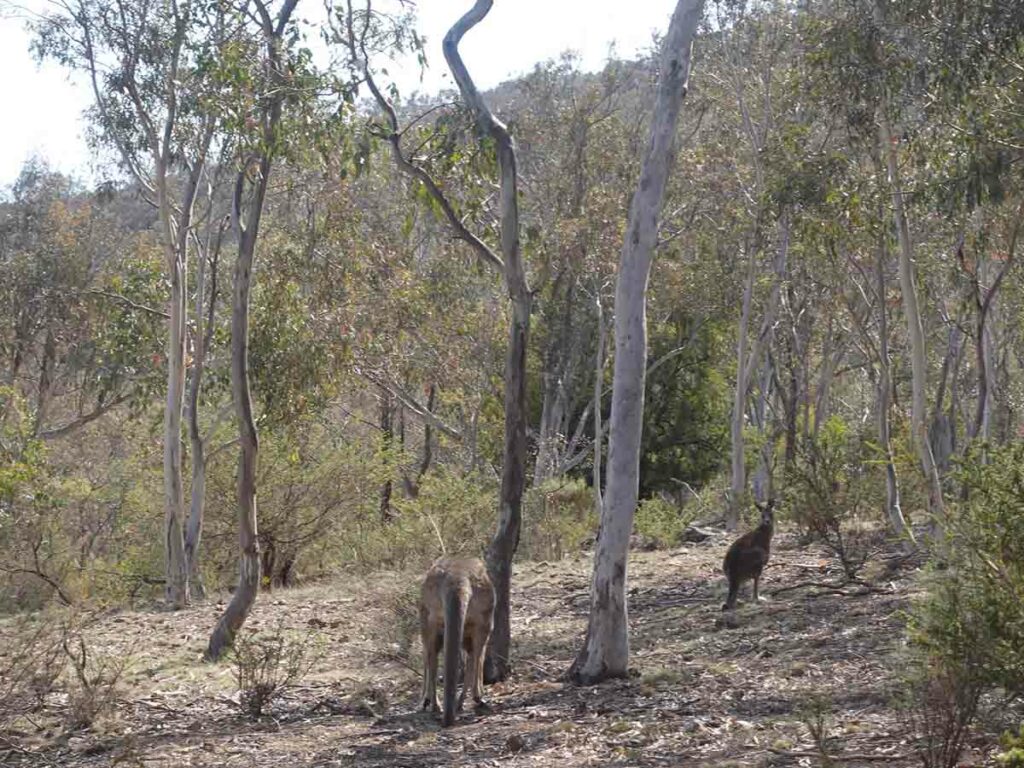
Kangaroos on the trail. This was a part of the mountain I had never seen before even though I’ve spent most of my life walking through here. The trail started to peter out but we could sort of make it out
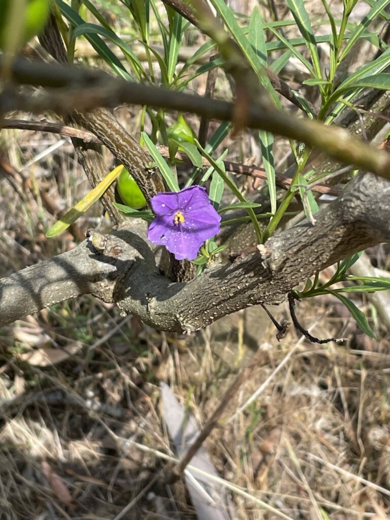
Native Solanum in flower
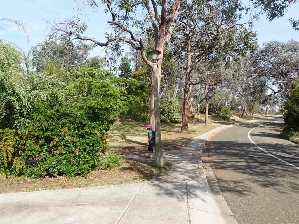
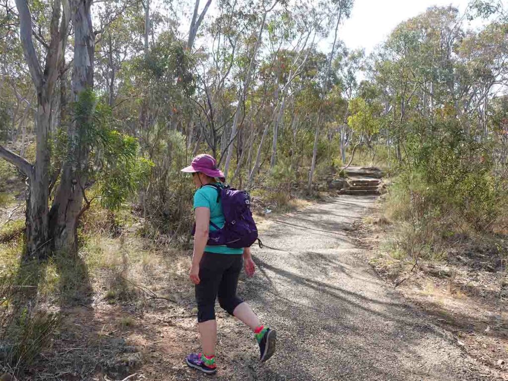
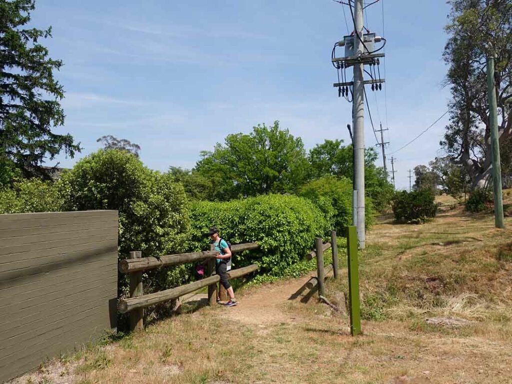
Back onto management road by turning left. We had never been on this road before
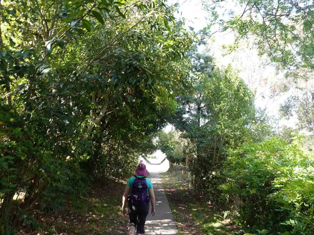
Along the base of Mount Ainslie heading towards home
Heading along the edge of the road
Heading along the summit road of Mount Ainslie
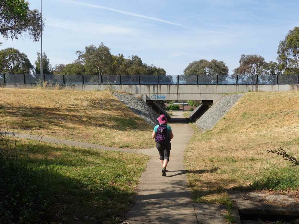
Heading off Mount Ainslie
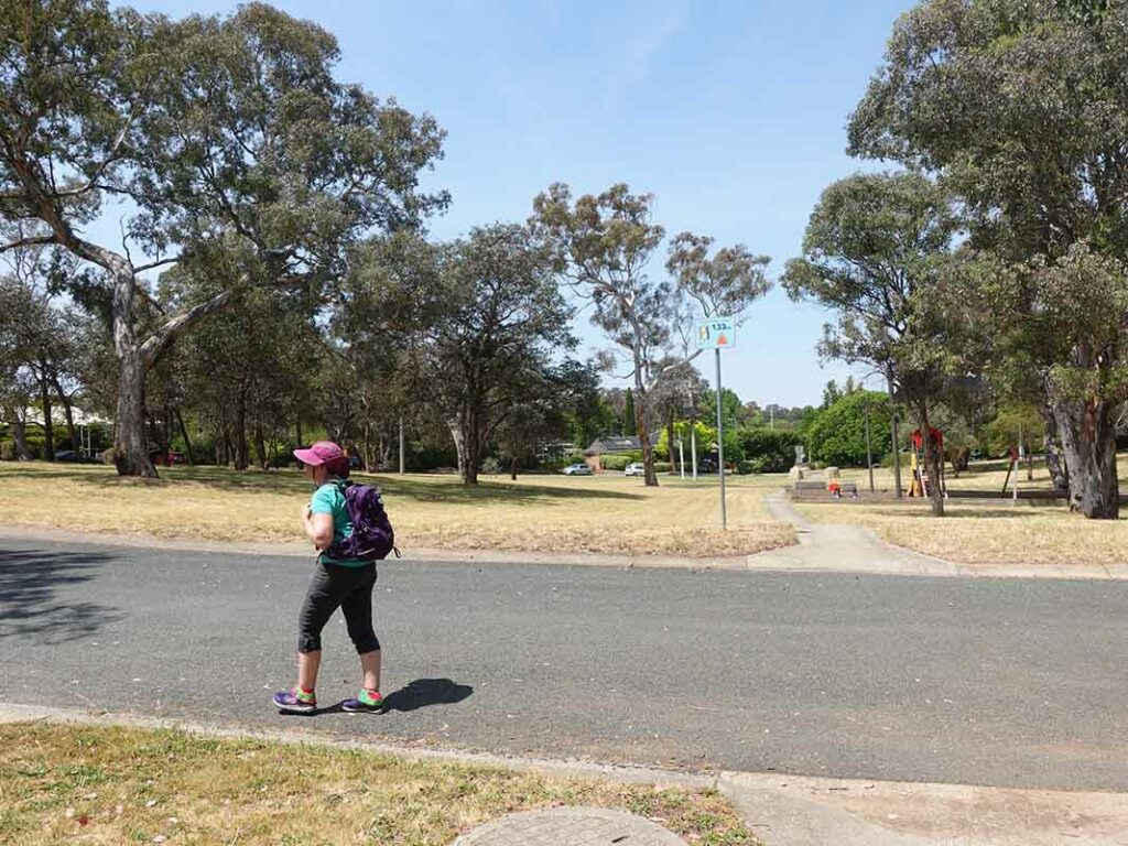
Last left turn before heading back to our start point to finish our walk two hours and 28 minutes after we started covering approximately 7.98 km
Last words
So how did we go? Did we manage to stick to our own predetermined rules for this walk? Yes – we managed to only turn left or go straight ahead. In sticking to these rules we came across a couple of locations where sticking to our rules presented challenges so we had to stop and think not just one step ahead but about the remainder of our route and where this would take us; one mistake and this could potentially take us kilometres out of our way.
We were forced to stop and really talk through what we were doing and I must admit that it’s rare we discuss trail navigation to this degree. We śaw parts of this nature reserve I have never seen before and I have been walking this area for most of my life. It also gave us views into the city that we have never seen from this particular aspect.
My final comment would be that the minimal level of planning greatly added to the adventure and enjoyment of this hike. We could have sat down and planned every twist and turn but that would have meant the high degree of communication and decision making we needed to do as we went wouldn’t have come up and this was a bit of a surprise. I had deliberately only ‘loosely’ planned this hike so that we knew the rules we had set in place were achievable and we could stick to our designated timeframe.
Overall, we really enjoyed the random adventure aspect of this hike so much so we will look at doing something like this again; who knows we may even turn right!
Our trail
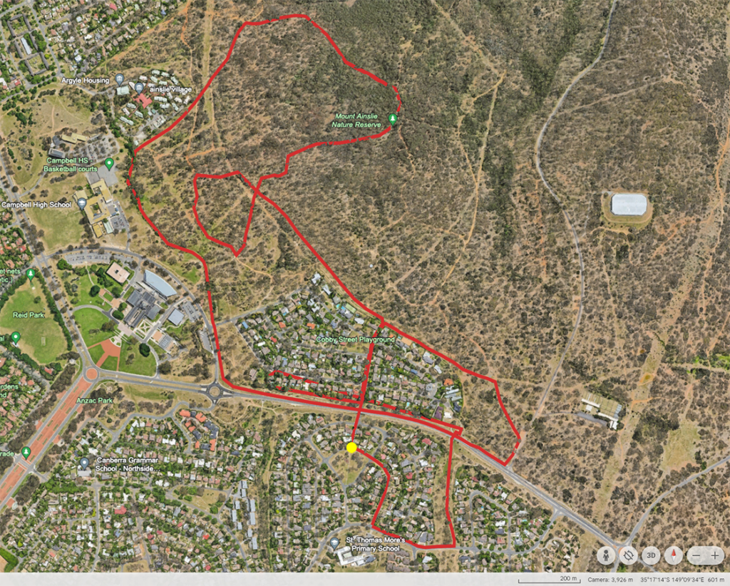
This image shows our trail marked on Google Earth with the yellow dot being our start and end point
The facts
Our ‘Turn Left’ route on Google Earth. There are some crossover and repeat sections as we try as much as we can to only go straight ahead or left.
The Facts
- Distance Covered: The total route was 7.98 km
- Start Time: 9:02am
- Finish Time: 11:30am
- Time taken: 2 hours 28 minutes
Adventure video
This video is under four minutes long and includes some video as well as a lot more photos from along the trail