Cypress Pine Lookout ACT (4.6 km)
Namadgi National Park
Nearest Town
Tharwa ACT
Starting Location
Namadgi National Park Visitor Information Centre
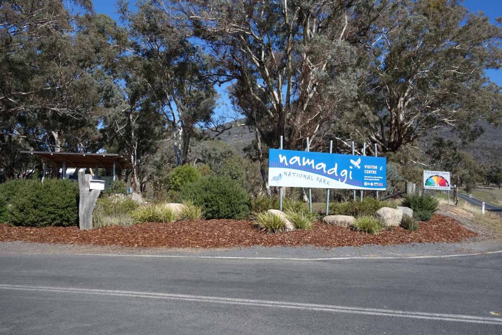
Namadgi National Park Visitor Information Centre entrance
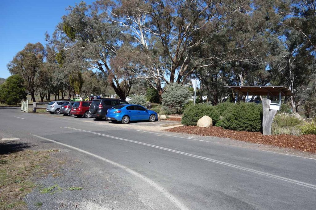
Outside carpark. Use this carpark if you don’t think you will return before the gates close at approximately 4:30 pm. Check at the Visitor Centre for the closing time as you may need to park your car outside the gate
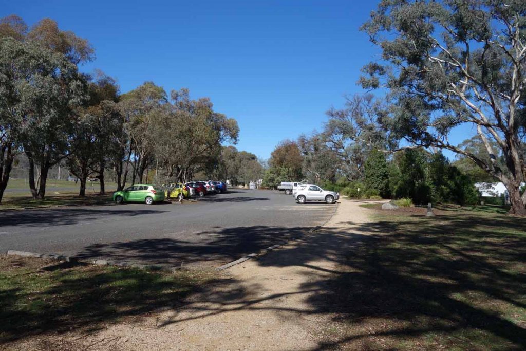
Main Visitor Centre carpark with plenty of room
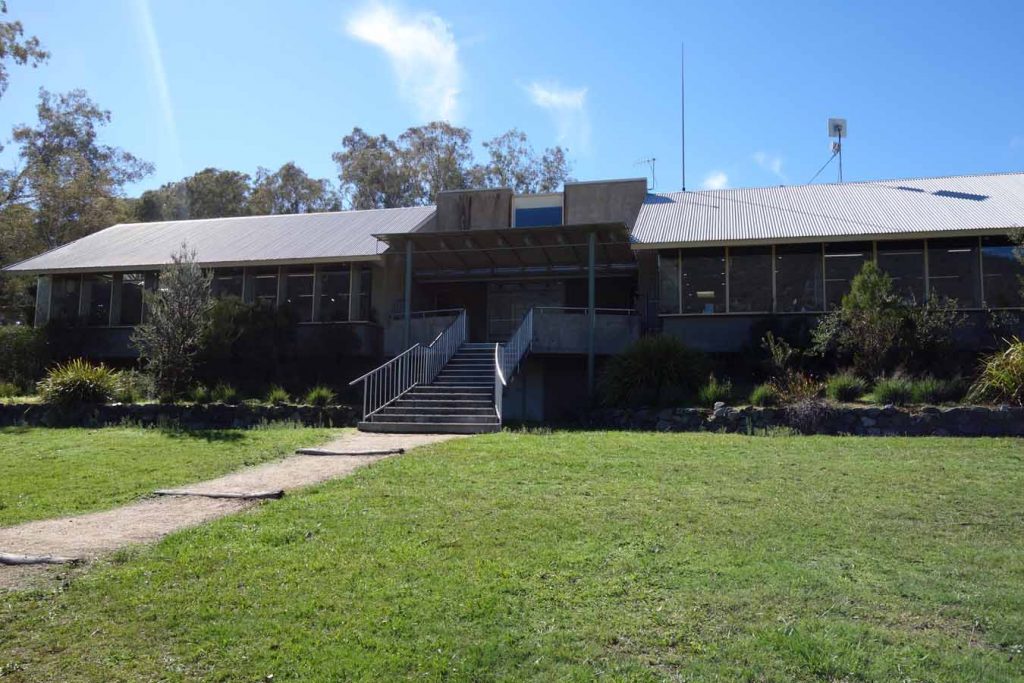
Rear of the visitor centre. The staff can provide good information on the park and walks as well as provide maps and snacks. There are also toilet facilities inside the centre
Finish Location
Namadgi National Park Visitor Information Centre
Best Time to Travel
Year round
Cypress Pine Lookout Track Review
Many hikers will try to walk the Mt Tennant Trail without realising how difficult it is but the walk to the Cypress Pine Lookout which is the first section is also some of the easiest part of a more gruelling trail. For those hikers who are unfit, new to hiking or just want an easier walk then the walk up to the Cypress Pine Lookout is a far better option and still provides excellent views. The lookout gets its name from the native pines that are plentiful in the area surrounding the lookout.
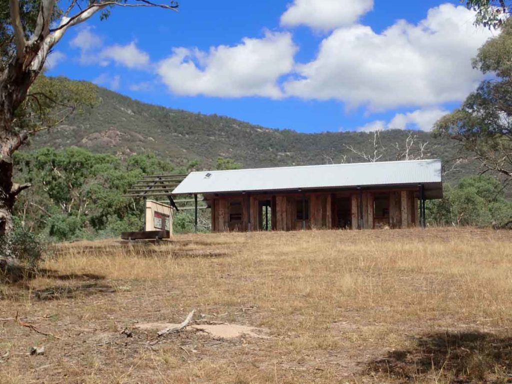
The trailhead is at the front gate of the Visitor Centre which provides a good opportunity to use the facilities and top up on snacks if you haven’t brought any. Follow the signage from the trail head and you will go around the Visitor Centre and then pass the Gudgenby in a box interpretation centre and the Mouat Tree display before coming to the fence line at the road which you need to cross. It’s worthwhile spending a few minutes at each of these interpretation centres to find out a bit about the history of the region before heading on to do the walk. Once you have crossed the road sign in at the trail register then start your walk up the hill. The 2.3 km walk up to the lookout is some of the easiest part of the walk to the summit with the altitude increasing by 180 metres overall which is fairly small compared to the Mt Tennant trail.
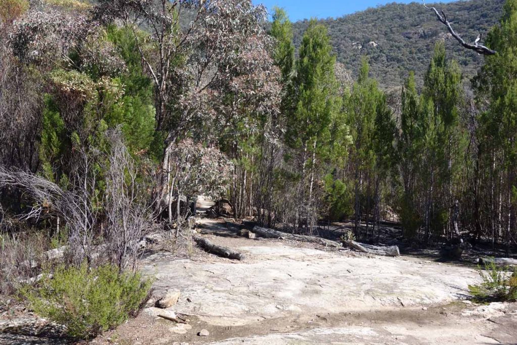
The trail is well formed and while there are still some steeper rockier sections it is nowhere as difficult as the walk from the lookout to the summit. The lookout is well marked, has some basic seating and provides good views over the valley below so is well worth doing.
This walk ranks as one of the easier walks in the park so a walker with average fitness can reach the lookout in 30-40 minutes.
Trail head
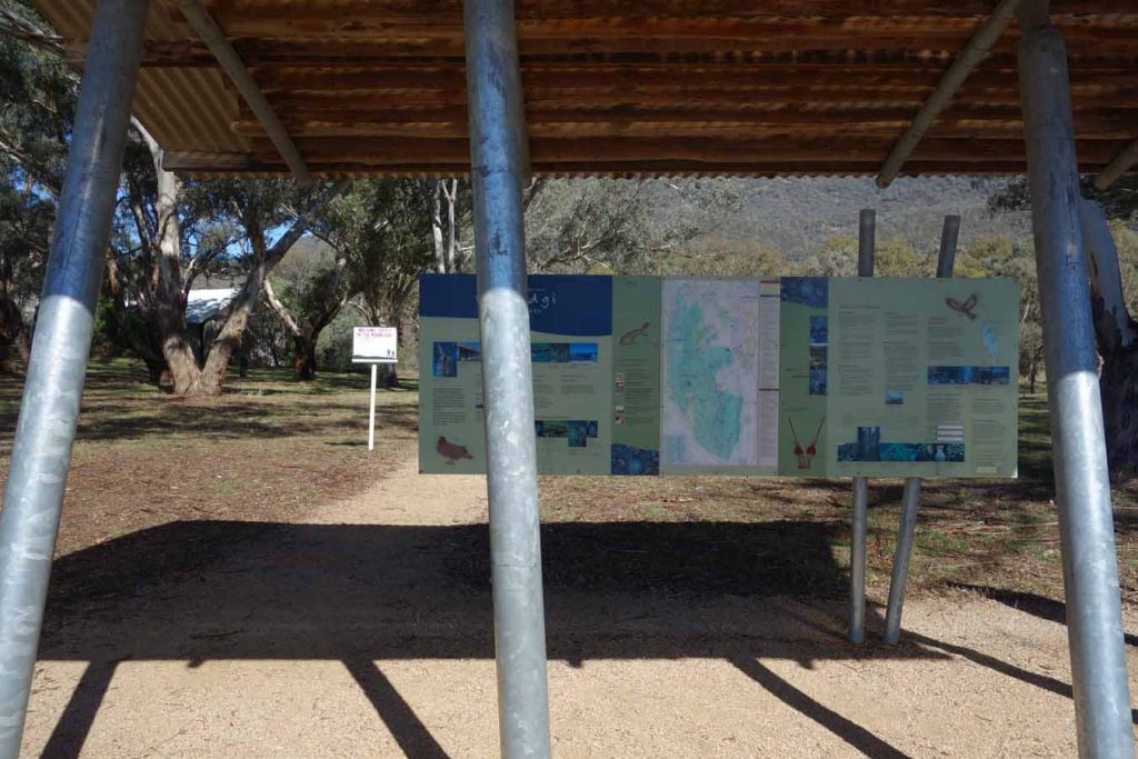
Gudgenby in a box display
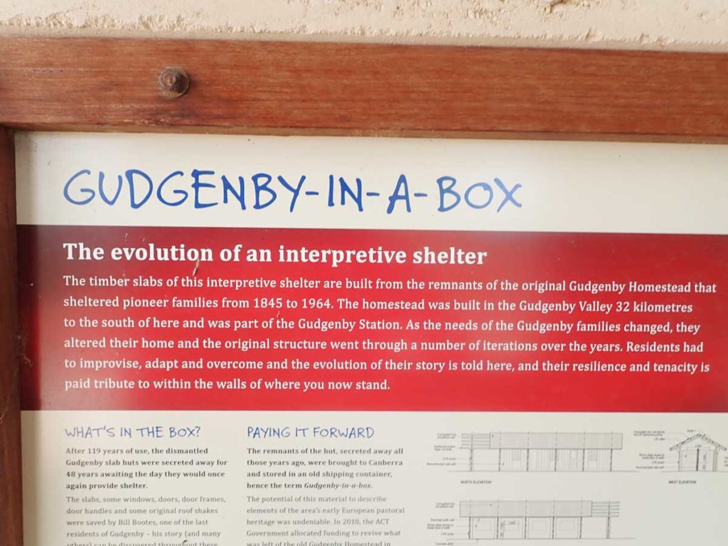
Gudgenby in a Box interpretive signage
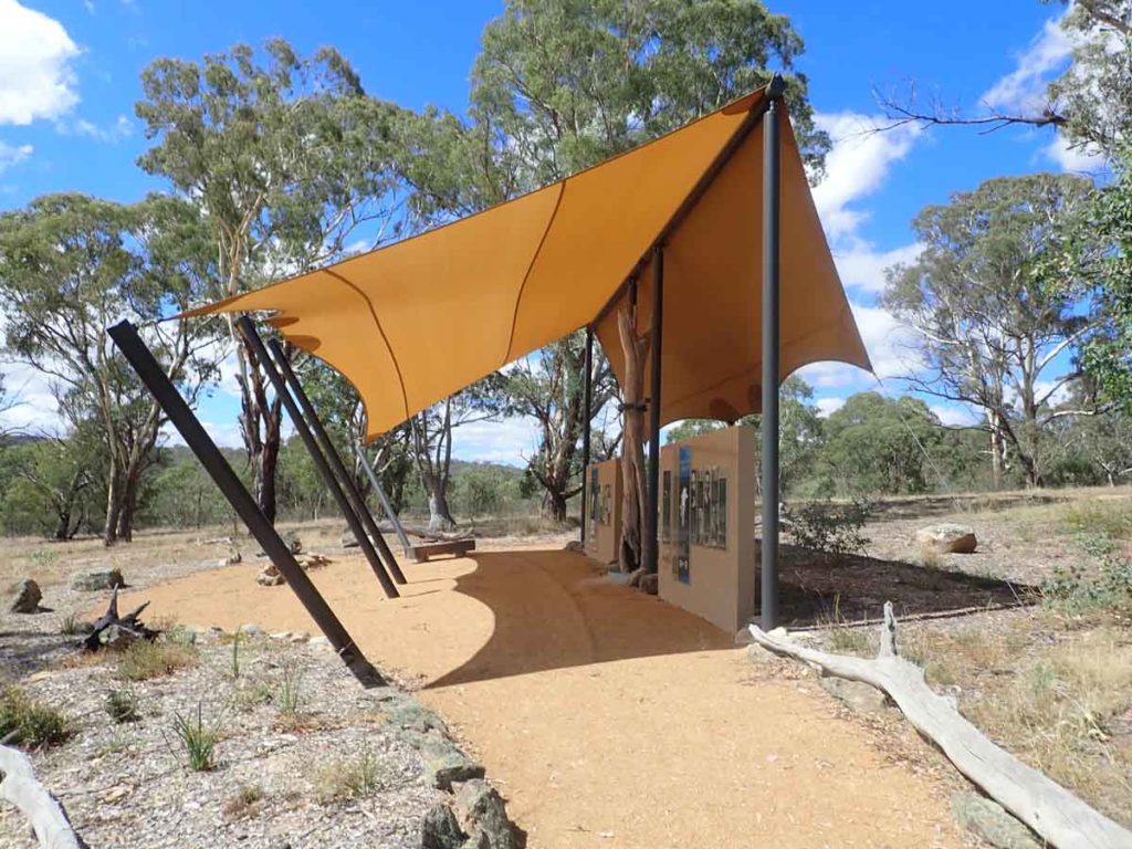
Mouat Tree display
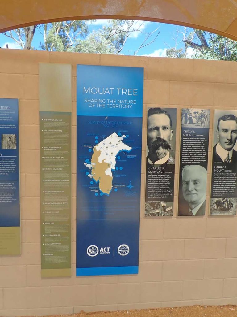
Interpretive signage at the Mouat Tree display
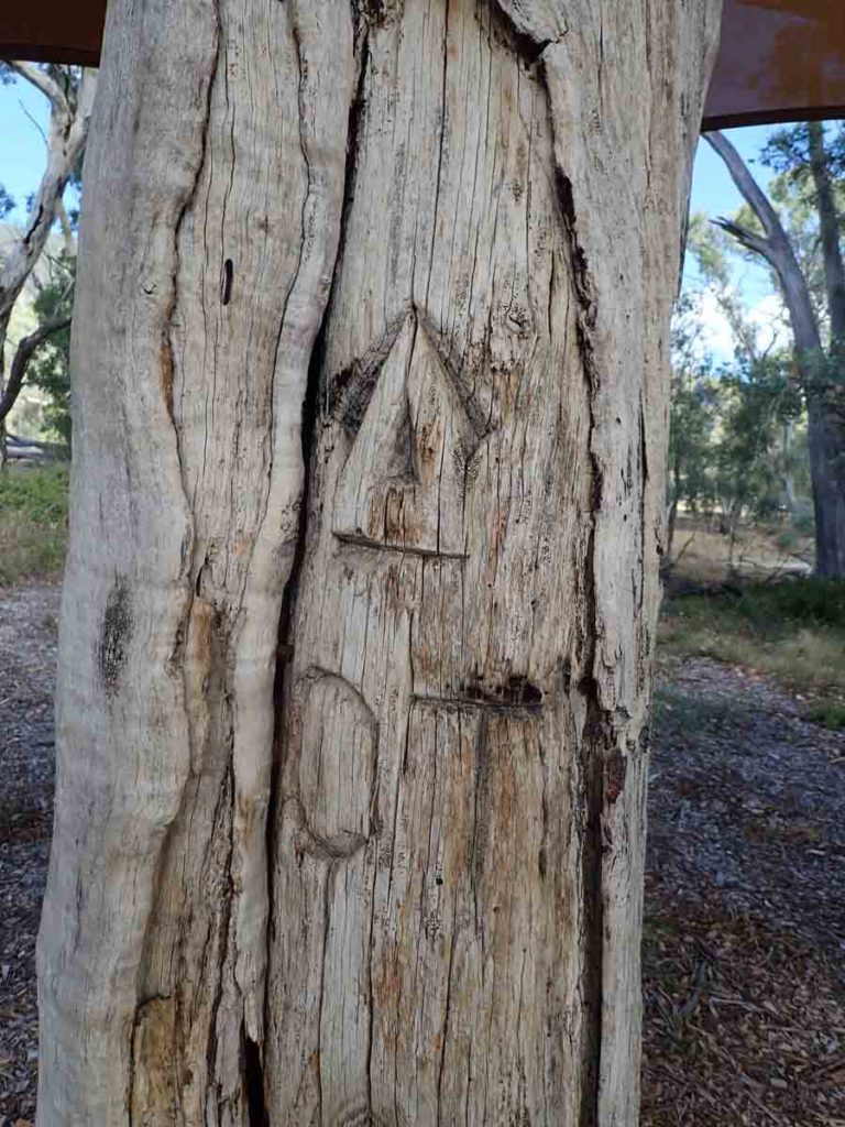
Mouat Tree up close
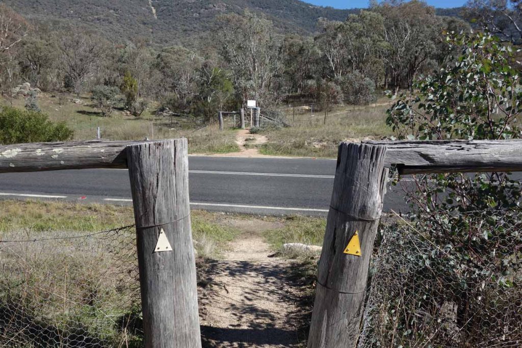
Cross the road, being careful of the traffic. The trail register is on the opposite side of the road just through the fence
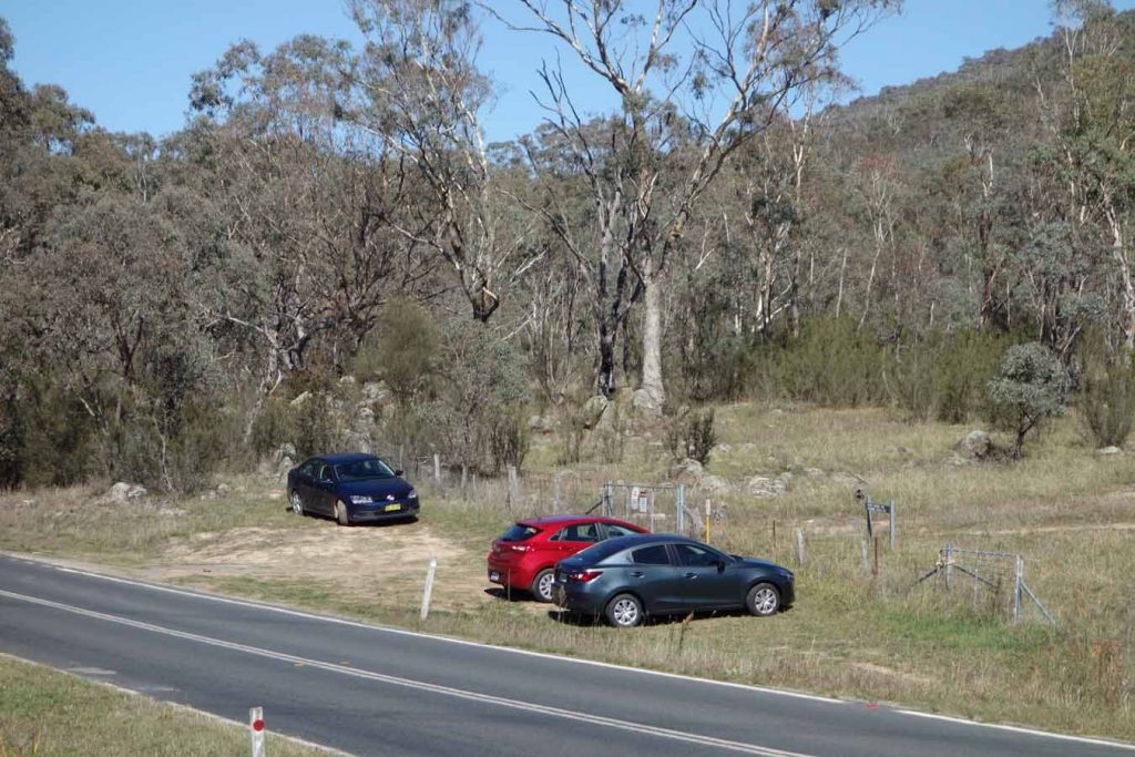
As you approach the trail register you will see cars parked along the fence line. Many walkers park here but there are no parking signs as it can impact on traffic vision
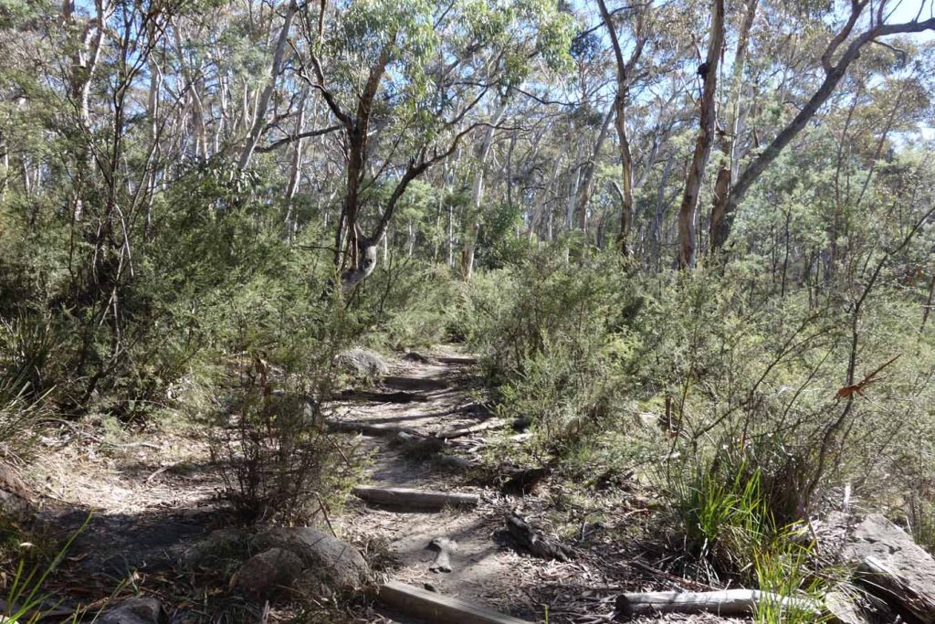
Formed trail example
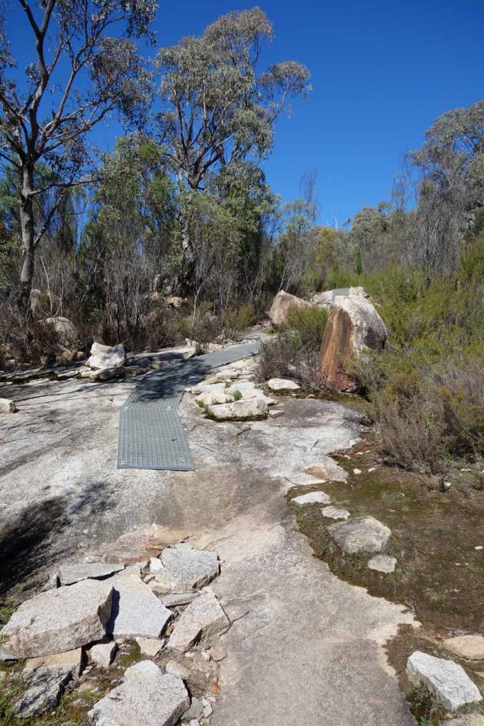
Some areas have metal mesh to help retain footing. The lookout is just past this metal mesh
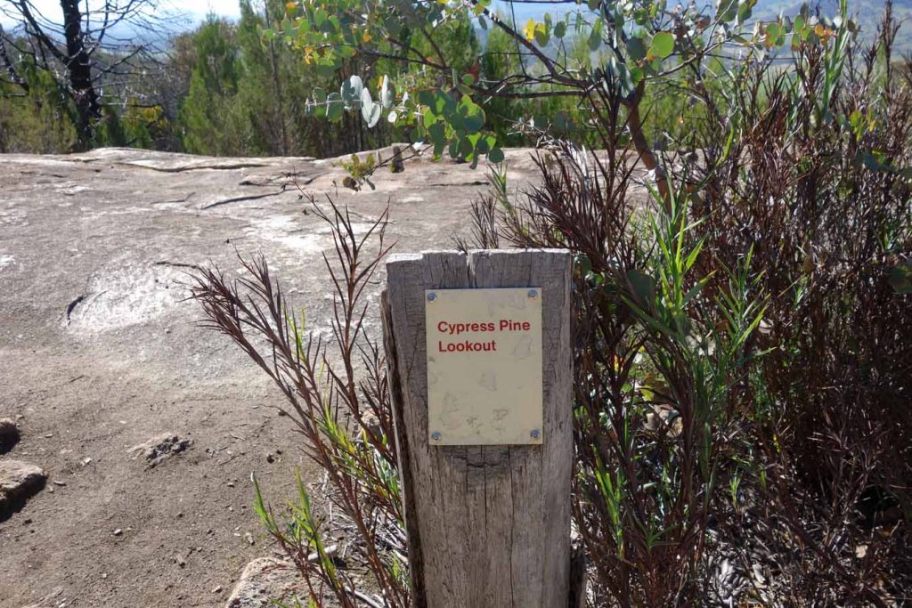
Lookout signage
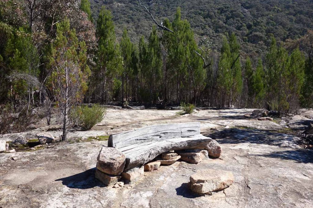
Rustic lookout seating
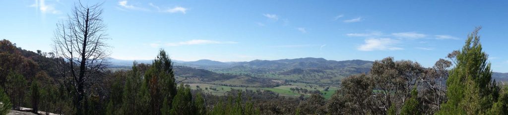
Lookout view is pretty good and provide much more detail than the views from the summit of Mt Tennent
The trail continues to the summit from the lookout but be warned that the walk is very taxing and should only be attempted if you have plenty of time and a good fitness level
Getting There
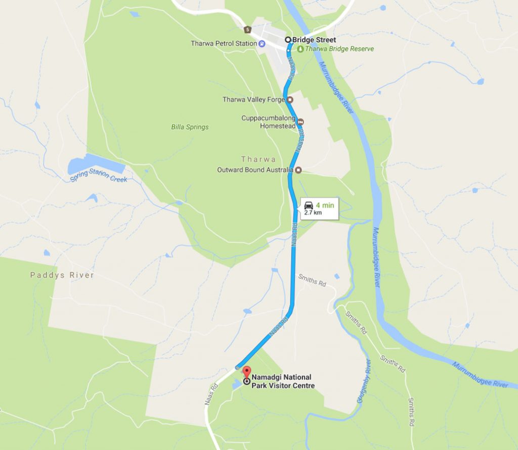
From Tharwa travel 2.7 km along Naas Road to the Namadgi National Park Visitor Centre which is located on the left hand side of the road. The Visitor Centre contains two car parks, a very large one inside the gates but this closes at 4:30 pm most days so make sure you are back before your car is locked in for the night. If there is any doubt you will be back in time, park in the small car park located in front of the centres gates
Things to Know
- Phone: There is good phone signal on this track (Telstra)
- Water: You need to bring your own water
- Toilets: There are toilets at the Namadgi Park visitor centre
- Trail: Most of this trail is on formed track with a small percentage on management road. There are a lot of stone stairs on this track.
- Dogs: No dogs allowed
- Camping: No camping allowed
- Other:
- Very easy to follow
Disclaimer
This walk was undertaken by the team from Australian Hiker