Farrer Ridge Circuit ACT (2.1km)
Farrer Ridge Nature Reserve
Nearest Town
The closest suburb to the trailhead is Farrer, ACT
Starting Location
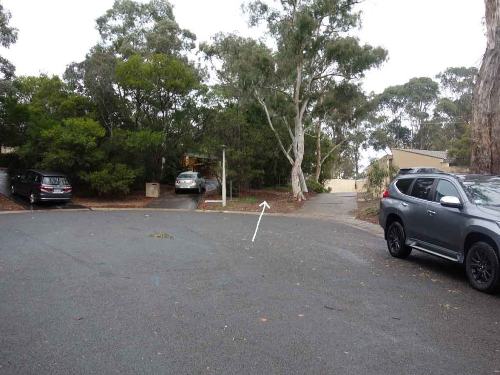
The top of Muresk Street, Farrer, ACT
Finish Location
The top of Muresk Street, Farrer, ACT
Best Time of the Year to Walk
Year round
Farrer Ridge Circuit Review
This is another great walk in the southern half of Canberra in the Woden Valley and takes advantage of Canberra’s series of bushland zones that give the city the name of the ‘bush capital’. The Farrer Ridge is easily accessible to those living nearby or if you feel like branching out a bit further afield.
The Farrer Ridge Walk can be done in a number of different ways. You can do this walk as a straight Summit Walk returning back the way you came or turn this into a circuit by heading over the hill and turning left or right. The best option for doing a circuit is to go up and over the hill and as you head down you will come across a small trail marker that points towards the right and this is the way you want to head. The reason for taking the right hand branch is that you very quickly head into denser bush that almost creates a feeling of remoteness. Once you have made your way through the bush, the trees open back out and you end up back on the management road. Turn right at this stage and you will return to the start of the Summit Walk and you then head back down.
This is by no means a difficult walk although the walk up to the summit is a steady uphill climb and will take your breath away although it’s not overly long. The views down onto the surrounding hills are good and while you do have some views into the adjacent valleys including towards Black Mountain the ridgeline isn’t overly high compared to the surrounding landscape. The day we did this walk it was raining lightly and I must admit I actually enjoy hiking in the wet as it provides a different feel. Wildlife was limited but just over the summit was a large mob of kangaroos that definitely seemed to be used to walkers and weren’t too fussed about moving out of the way.
This walk isn’t going to make it to our best hikes list but what it does have is easy access to bushland and a good feel.
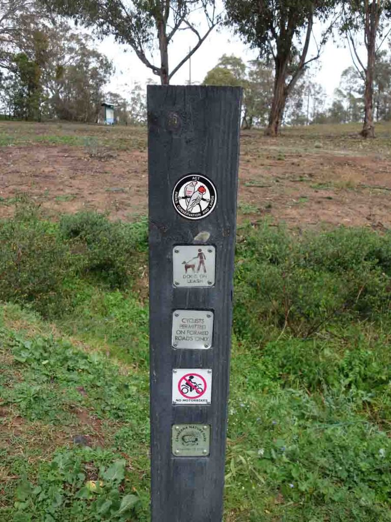
Signage. Dogs are allowed on a leash
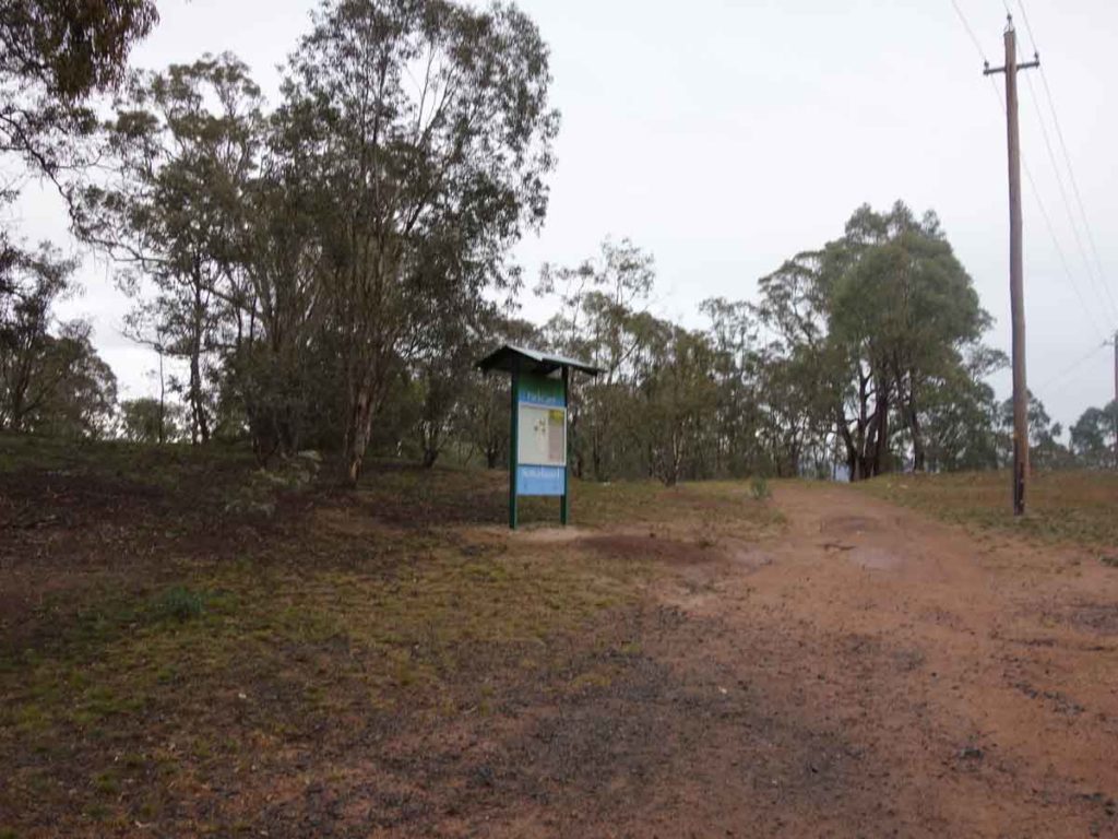
Veer towards the right and go past the sign board
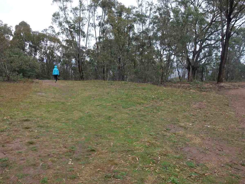
Then veer left
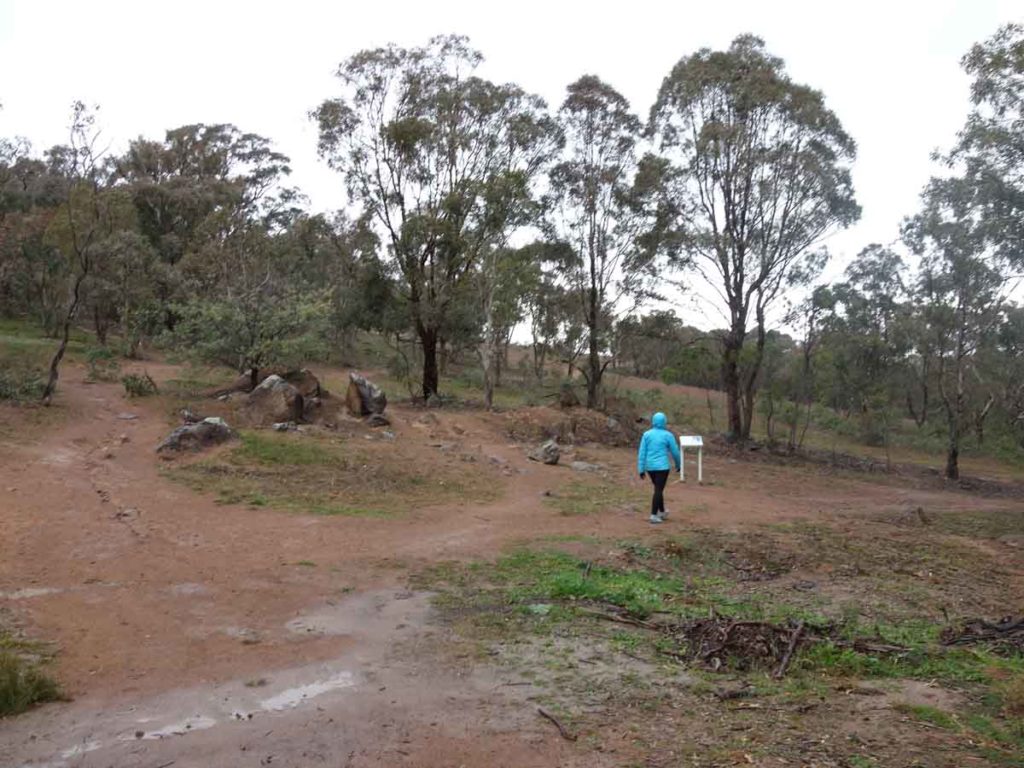
Information signage just as you start the climb up to the summit
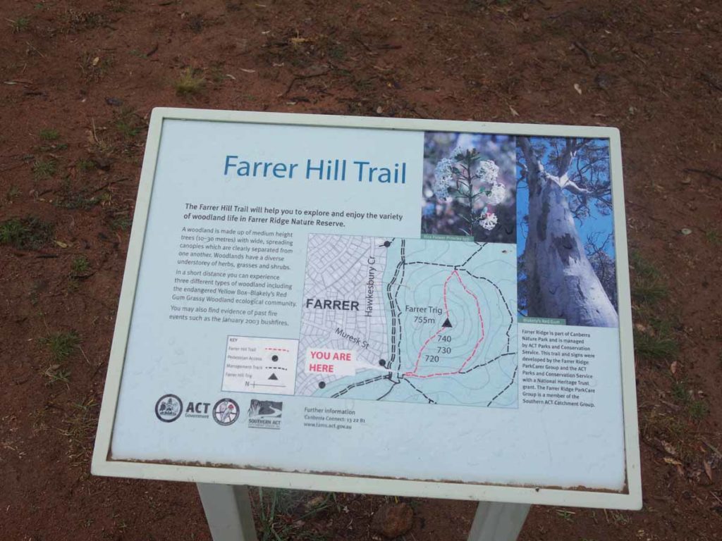
Close up of trail signage
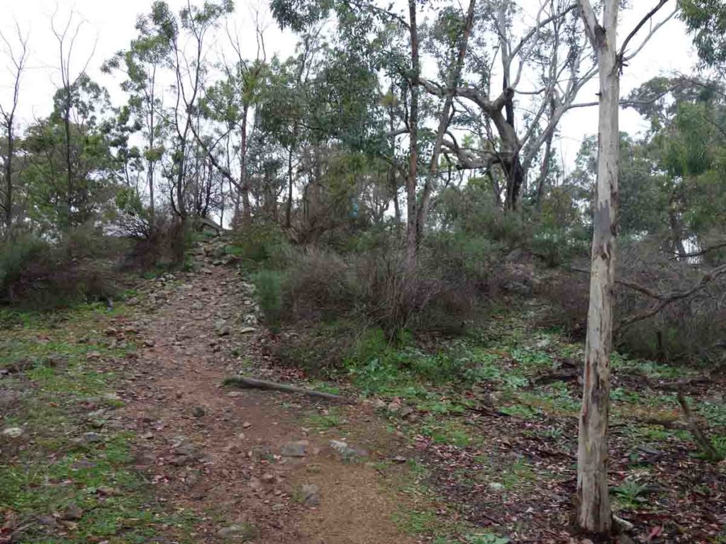
Approaching the summit
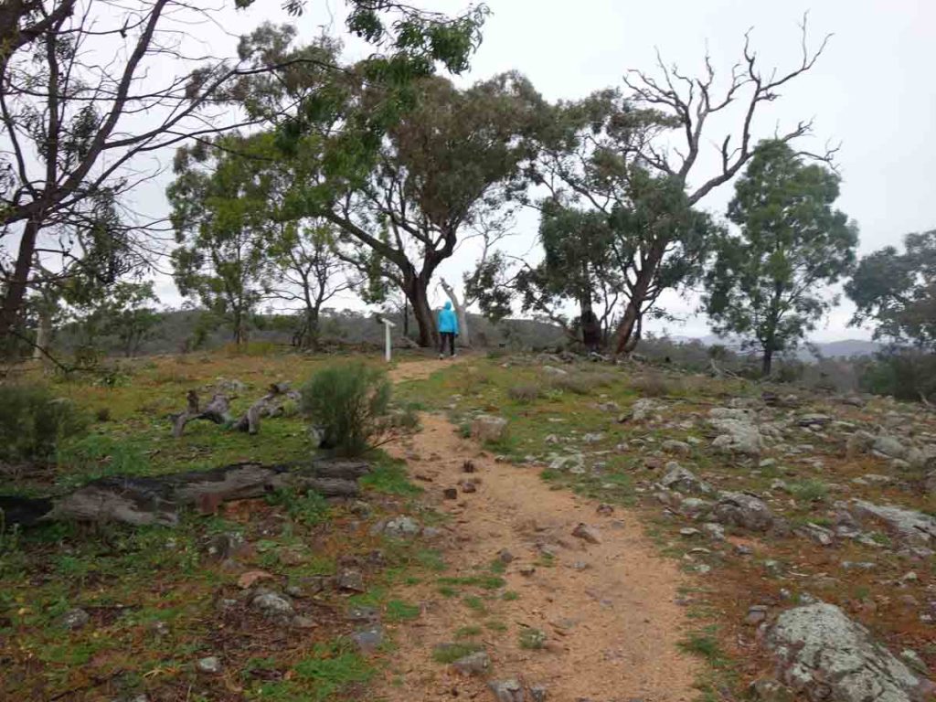
Reaching the summit
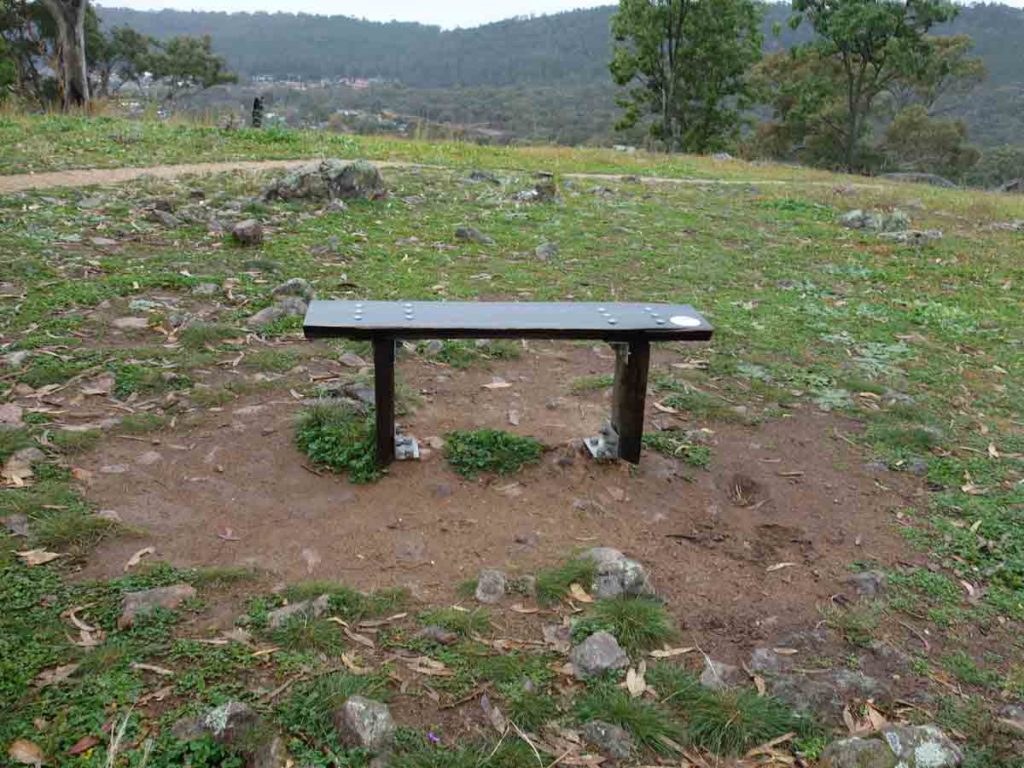
Seating at the summit

Panorama view from the summit
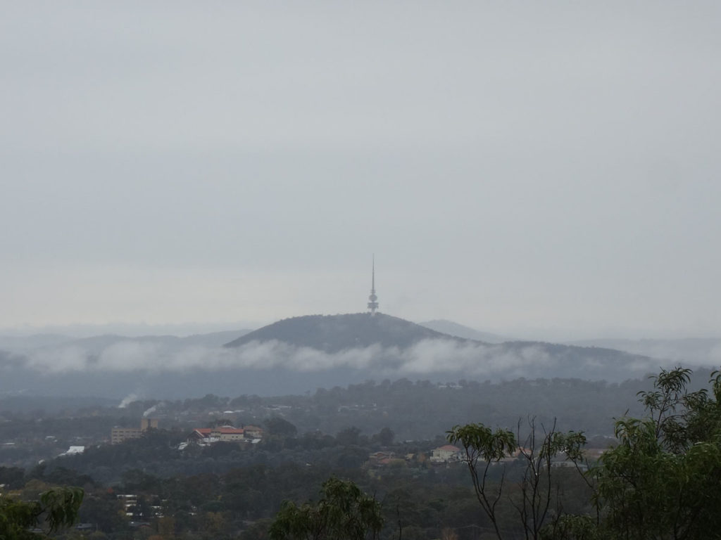
View to Black Mountain Tower
360 degree view from the summit of Farrer Ridge
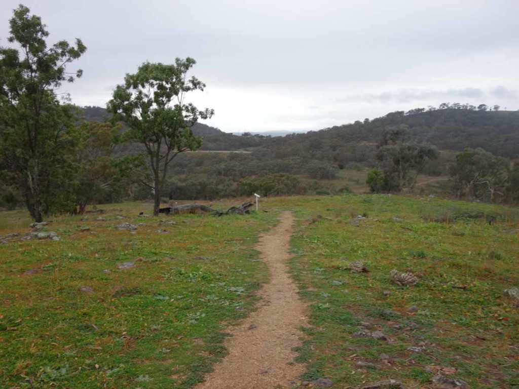
Heading along the summit
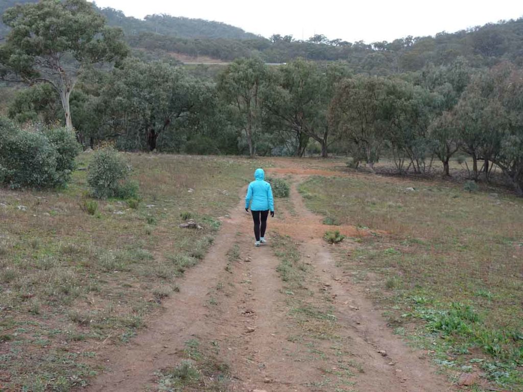
Heading down
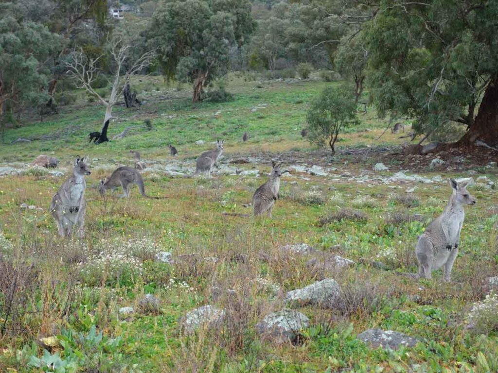
Kangaroos near the summit – they are very used to walkers and didn’t move away when we approached
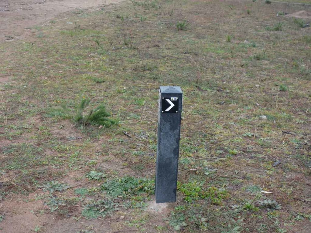
Turn right at the sign
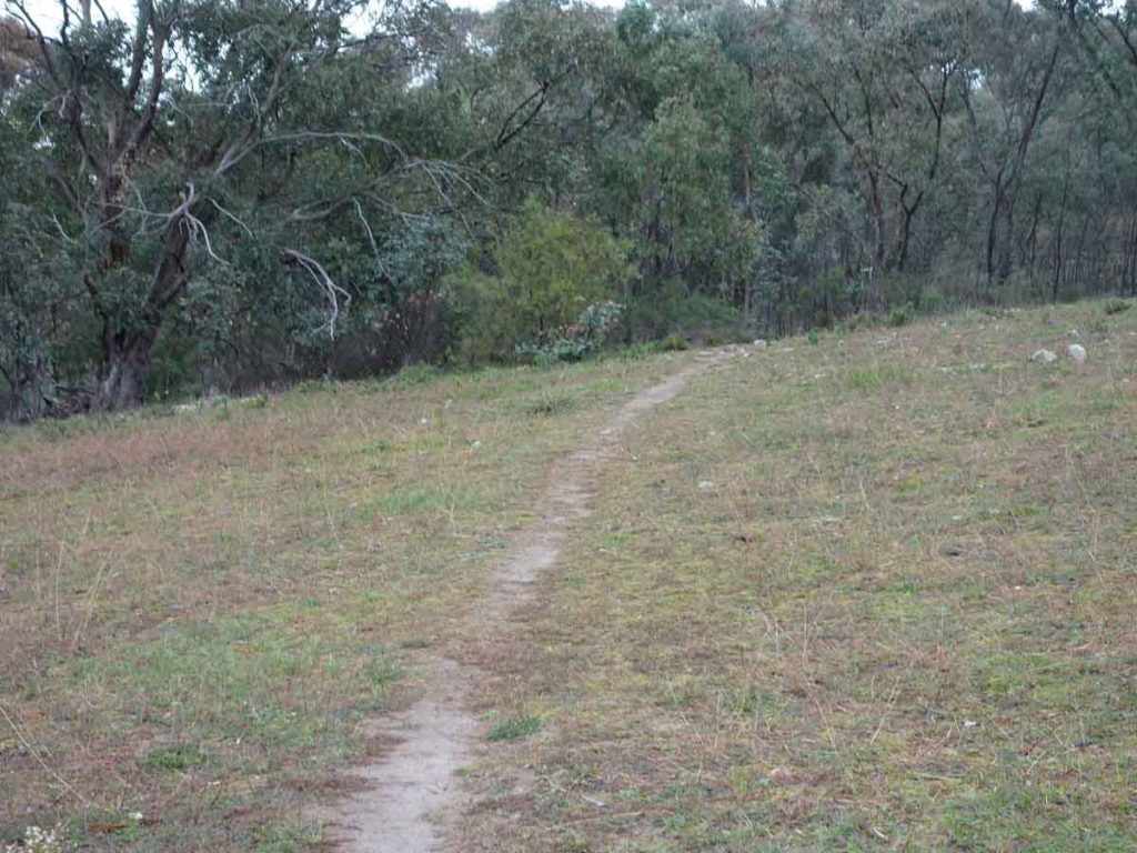
Heading back into the trees
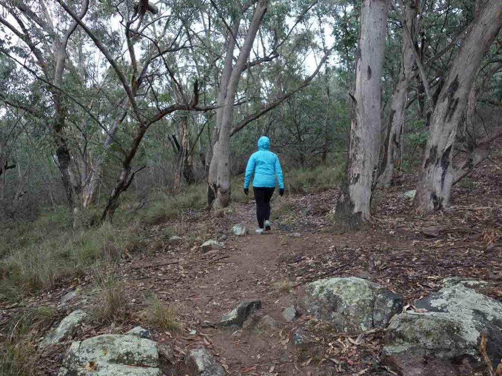
Through the trees
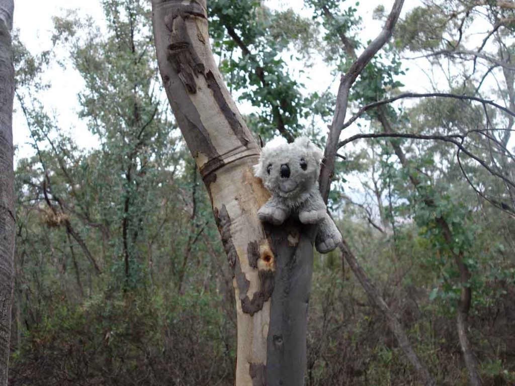
‘Wildlife’ on the trail. There are a few of these koalas scattered along this trail
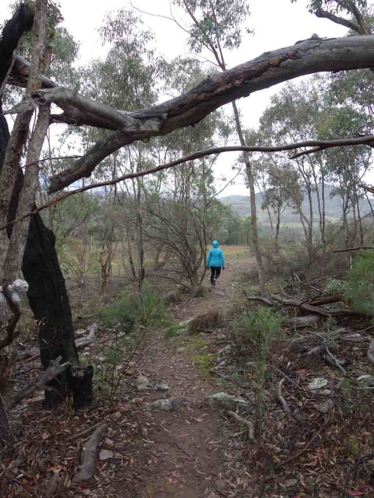
Heading back out of the trees
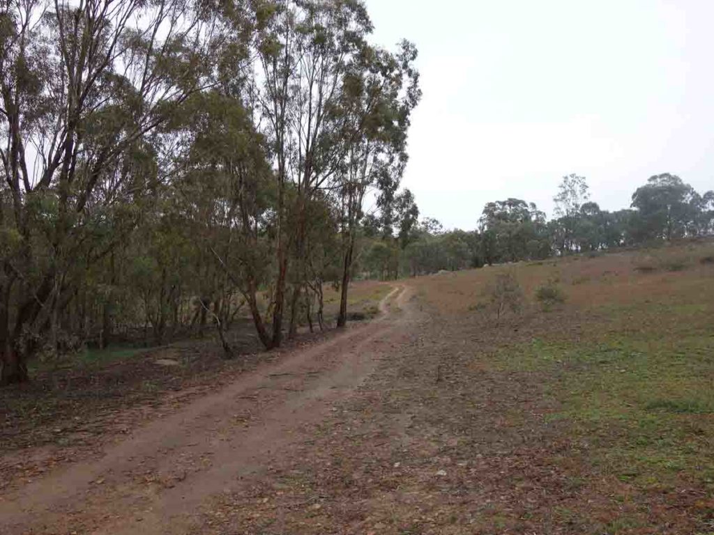
Along the management road
Heading home
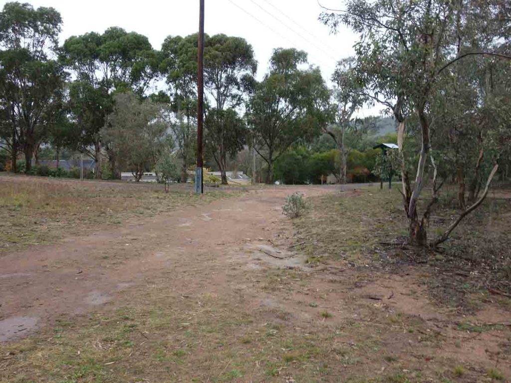
On the way back
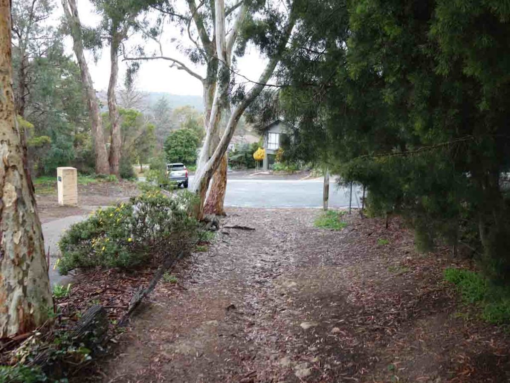
Returning to the car
Getting There
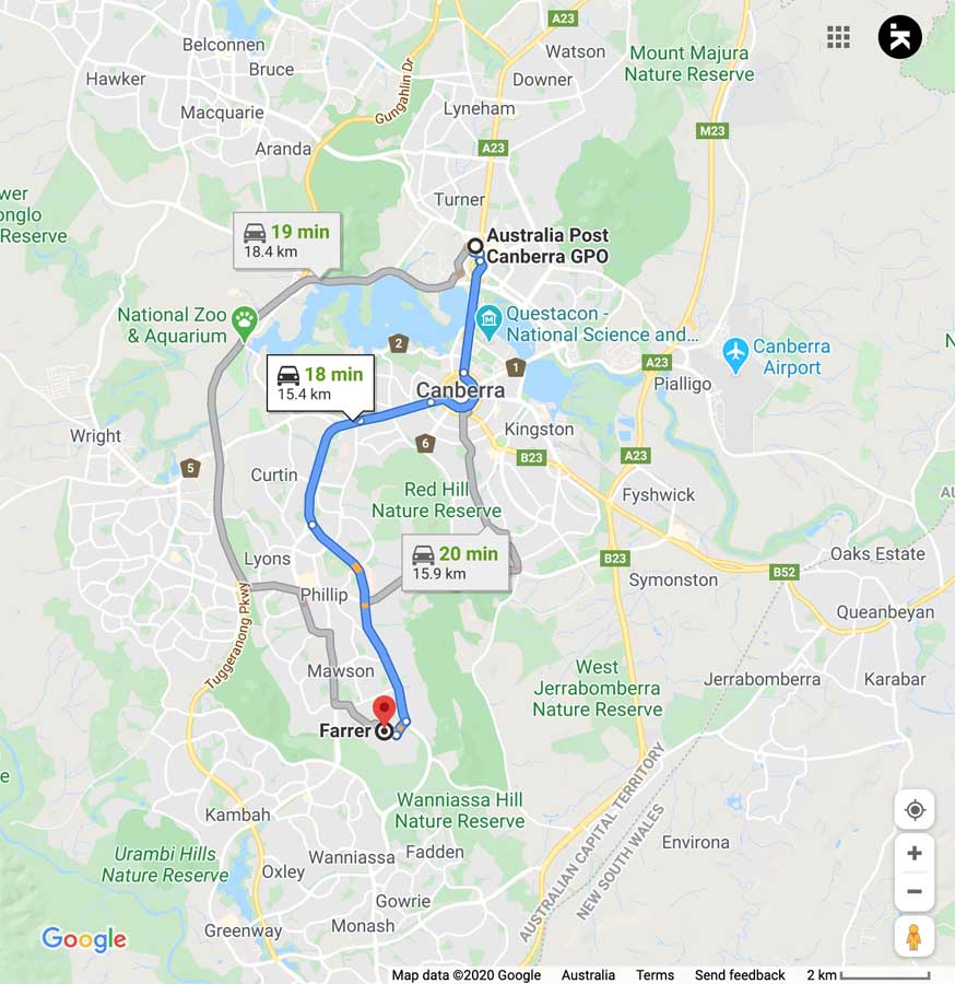
The main trailhead at the top of Muresk Street, Farrer is around 16 km from the Canberra GPO and around a 20 minute drive. Please note that you park at the top of the street (which is actually a cul de sac)
Things to know
- Phone: There is reasonable phone coverage on this trail (Telstra)
- Water: Bring your own water
- Toilets: There are no toilets on this trail at various locations but as you make your way into the more remote areas of bushland you will need to come prepared to use the nearest piece of bush. Just remember to move off trail as a lot of people who use these remote trails for exercise
- Trail: This walk is on a combination of formed trail and management road
- Dogs: Dogs are allowed
- No dogs allowed on a leash
- Camping:
- No camping allowed
- Other:
- You can choose you own route to head bark too the car bu=y either heading back to way you cam up or creating a loop

Park at the top of the street
Disclaimer
This walk was undertaken by the team from Australian Hiker