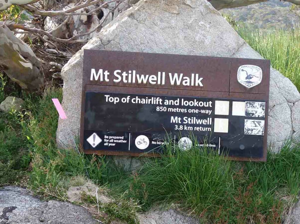
Mount Stilwell Summit Walk NSW (4.1km)
Kosciuszko National Park
Nearest Town
Charlotte Pass, NSW
Best Time of the Year to Travel
- For newer hikers – November-late March
- For experienced hikers who can cope with snow conditions and navigate off trail – year round
Starting Location
Charlotte Pass at the end of Kosciuszko Road
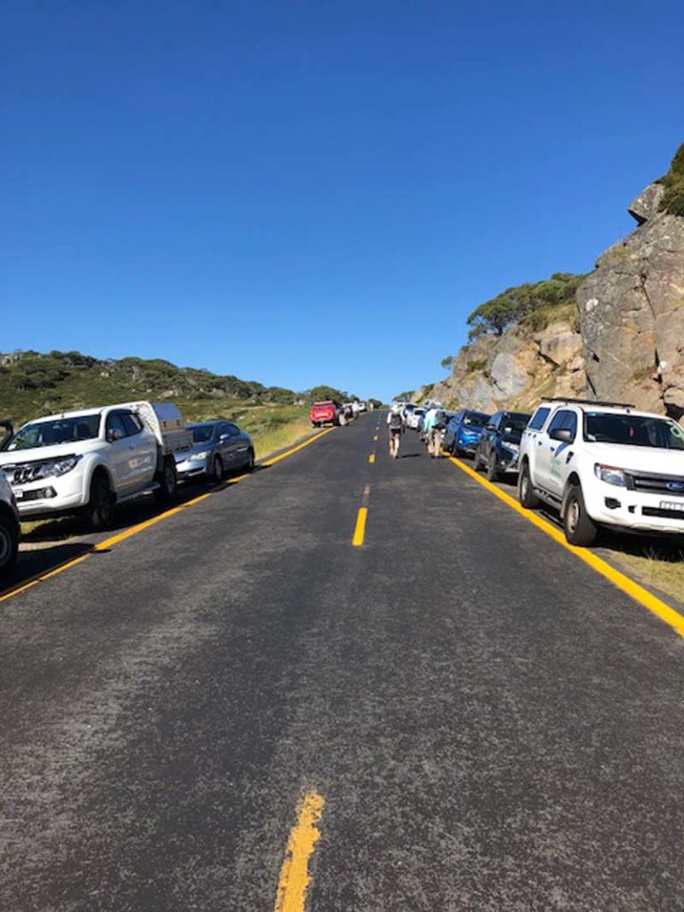
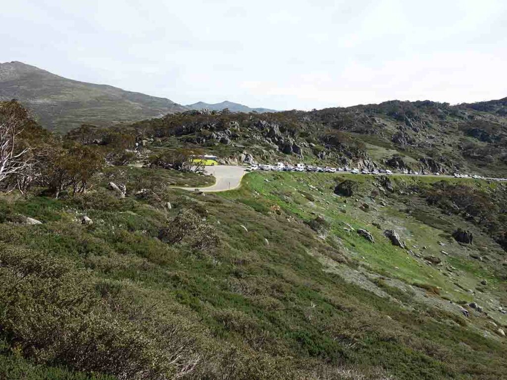
Four trail options start from this trailhead which means that it can be busy. I did this hike mid week and by the time I left there were 70 cars parked along the road. This is a very busy trailhead on the weekend, particularly long weekends
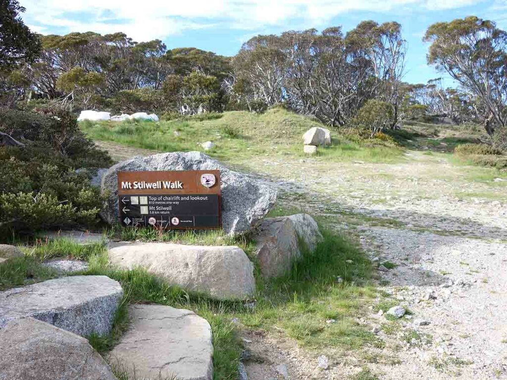
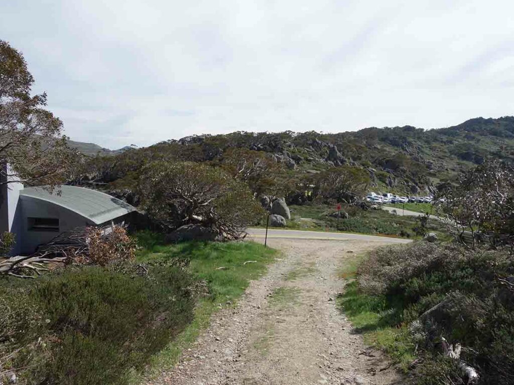
Start point for the Mount Stilwell Lookout Walk and the Mount Stilwell Summit Walk at Charlotte Pass. This trailhead is on the left hand side of the toilet block
Finish Location
Charlotte Pass at the end of Kosciuszko Road
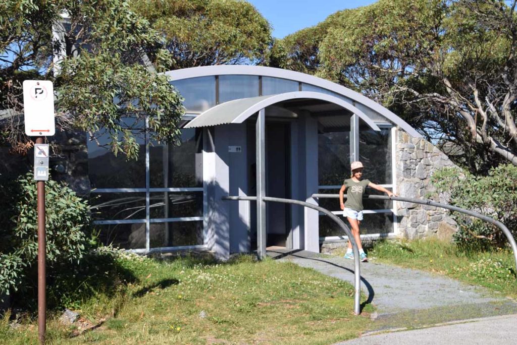
The toilet facilities at the trailhead are excellent
Mount Stilwell Summitt Walk Review
There are four walks starting from the Charlotte Pass Trail head, the Mount Kosciuszko Summit Walk, the Main Range Walk the Mount Stilwell Lookout Walk, and the Mount Stilwell Summit Walk. Which one you choose will depend on your level of fitness and the time you have available on the day. The Mount Stilwell Summit Walk at 4.1km isn’t an overly difficult walk for most people and provides two main vantage points, including the Mount Stilwell Lookout, over Australia’s main summits.
Both walks starts on the management road located on the left hand side of the toilet block at Charlotte Pass. There is an obvious sign that identifies these two walks. This first shorter walk is the Mount Stilwell Lookout Walk and is accessible to just about any hiker and non-hiker alike and while its worth doing in it’s own right it’s great for the non hikers in the family to get involved.
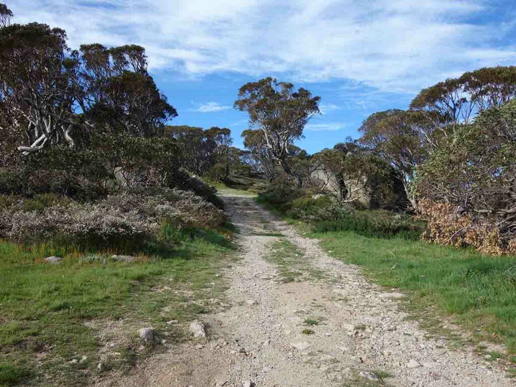
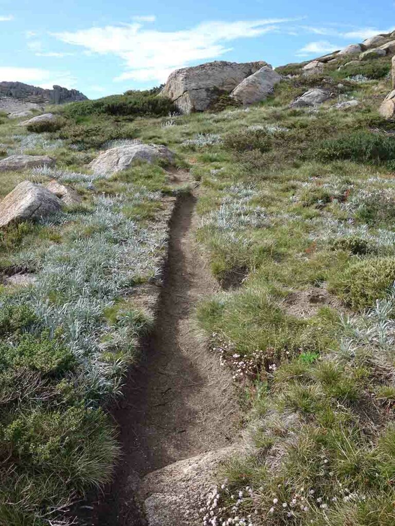
Almost immediately after you start the walk there is a signposted turn to the left. The trail itself is a narrow single file trail but is in very good condition and well maintained as it winds its way up the hill. As you wind your way up the well formed trail tread you are initially provided with views down into the valley to your left before coming across the old and disused ski lift infrastructure still in place on the right hand side of the trail. Shortly after you go past this you will come across a small spur trail off to the right that takes you about 15 metres off trail to an unofficial lookout. This informal lookout is worthwhile doing and shortens the trail even further for the less fitter walkers.
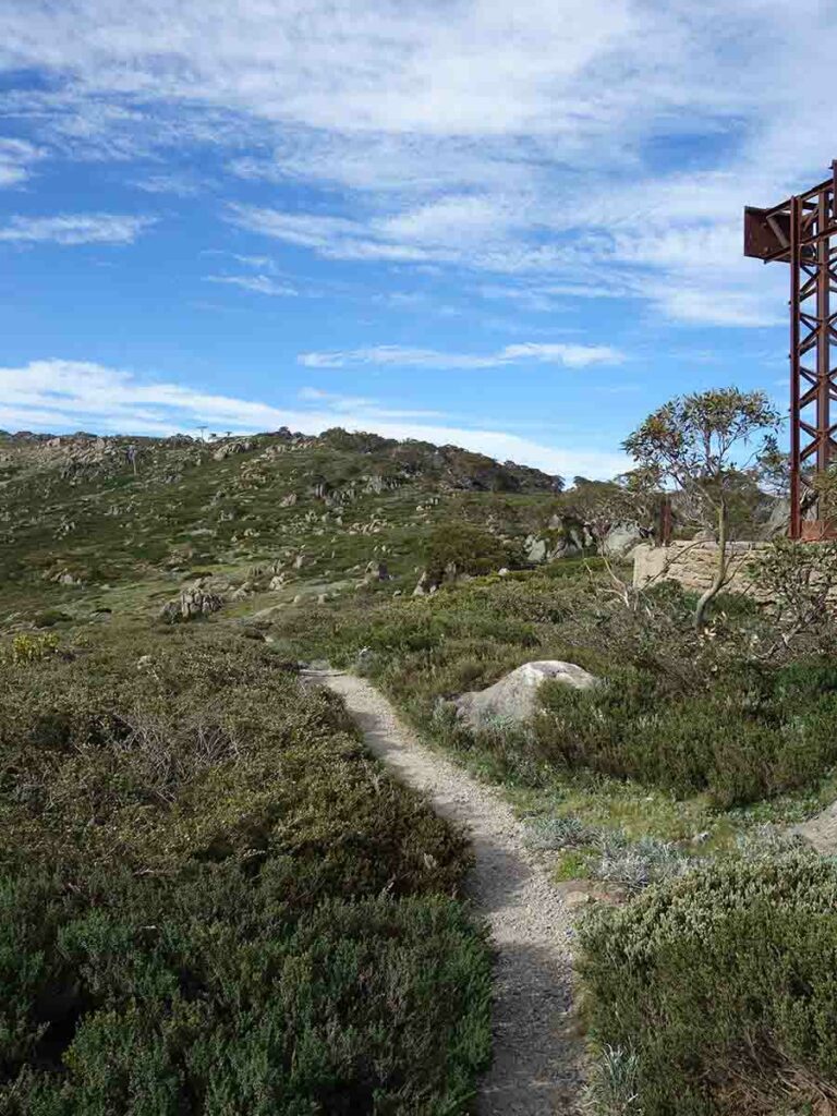
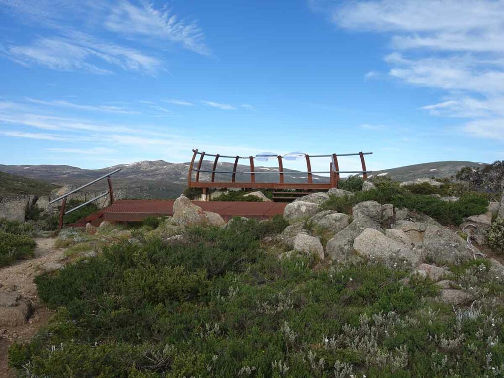
Once you return to the main trail continue on up to the lookout platform which is a metal structure located to the right of the current ski lift. This platform includes interpretation material and looks towards Australia’s highest peaks. On the day I did this walk there were strong winds which are buffeting me which wasn’t unsurprising given the platform is located almost at the edge of the tree line.
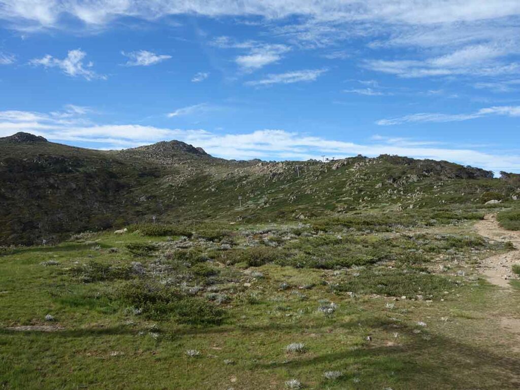
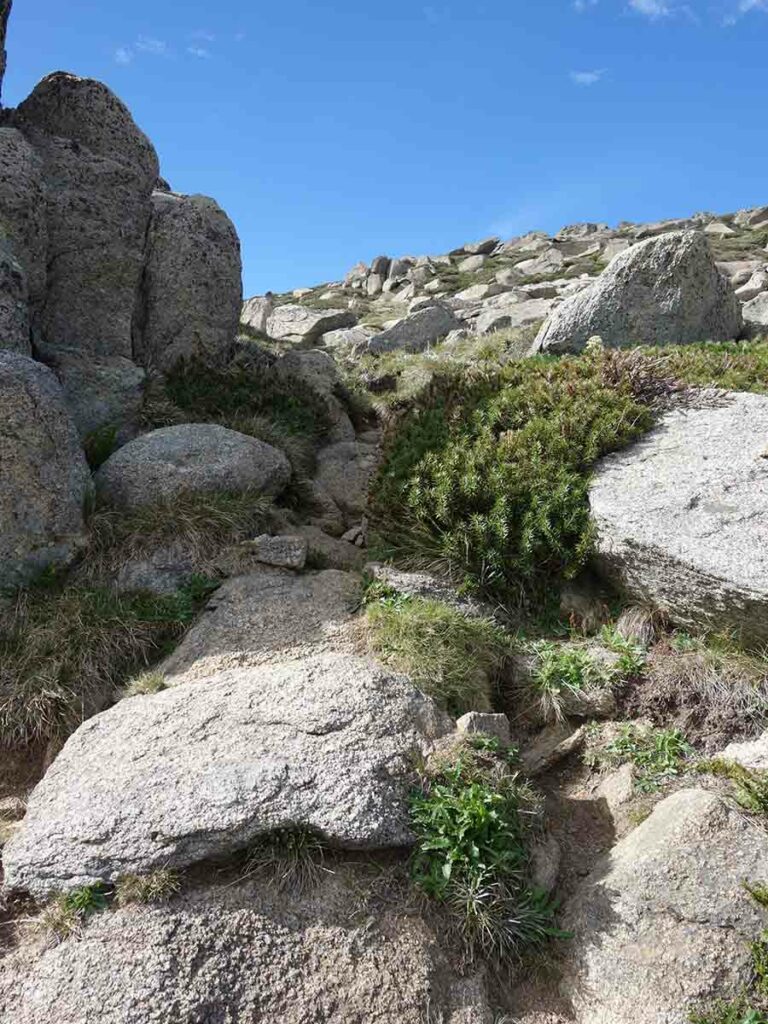
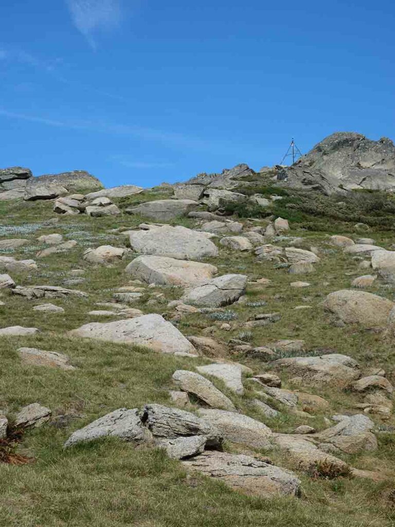
The trail from here to the summit of Mount Stilwell is almost entirely above the permanent tree line and more exposed top the prevailing weather. The tread on the upper half of the trail isn’t as clear or as well formed as the lower half but is easily to follow except at one point where I lost the trail. It looks like a number of other people have had the same issue because the small section that I followed was starting to show a well worn path. I managed to reconnect back onto the trail once I realised the issue and from there the final ascent to the summit was easy to locate.
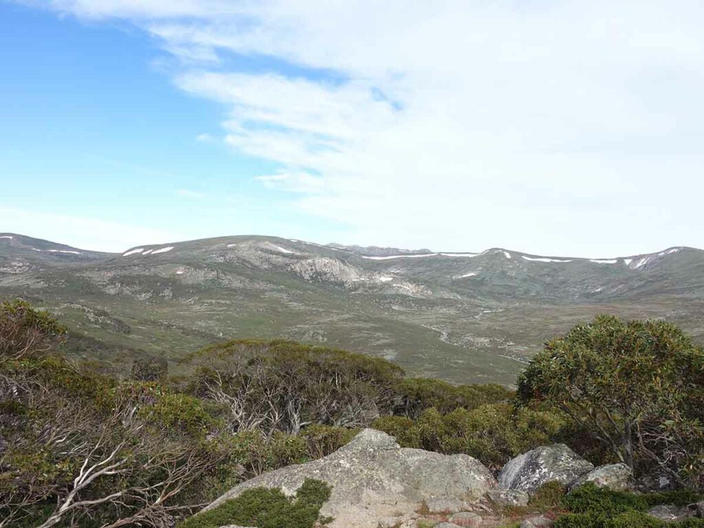
The view from the summit not only provides a vista towards Australia’s tallest peaks but also to the opposite direction which was something that I had never seen before. On the day I walked this trail the winds were fairly strong and if you look at the summit video below the shakiness wasn’t because of unsteady hands but rather from the buffeting from the wind.
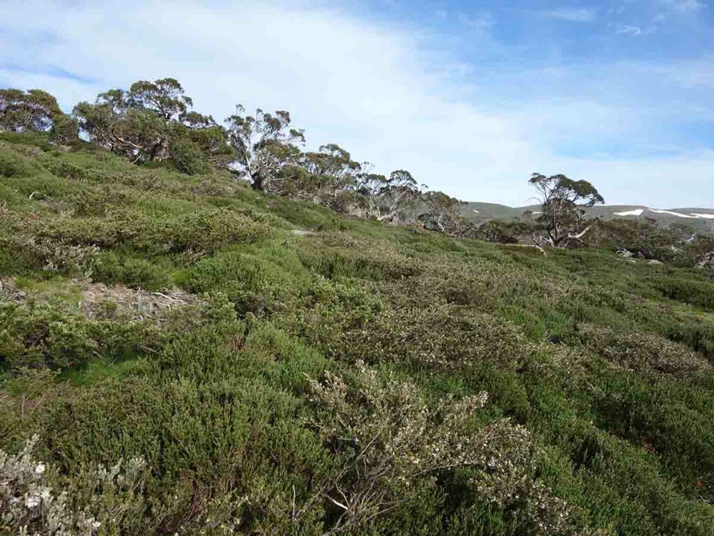
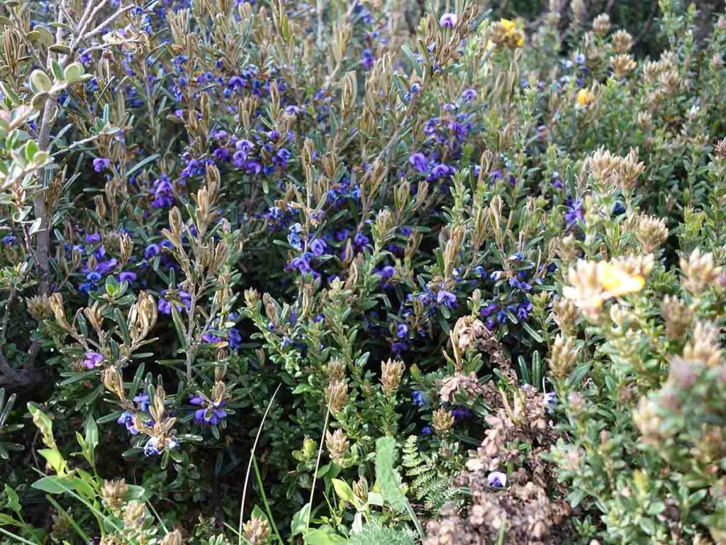
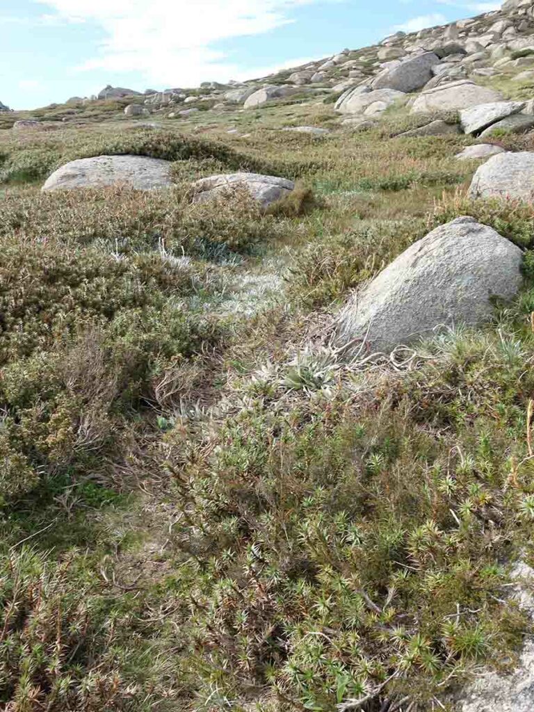
Plants and animals wise there were still plenty of wildflowers at the time of my walk in early summer to keep people interested. The only animal life I saw was the occasional crow as well as insect life. In reality this walk is about the landscape including the wildflowers. Before doing this walk I had an image in my mind as to what it would be like and having now done it it’s so much better than I imagined.
The trailhead to the summit of Mount Stilwell is just to the left of the toilet block
This trail starts with a 40 metre walk along management road before turning left
Turn left here
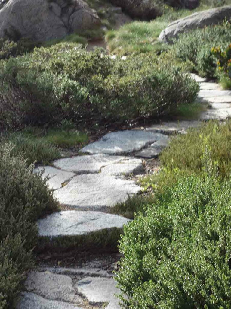
This trail is very well maintained although it is definitely a single width trail
View to the summit of Mount Stilwell
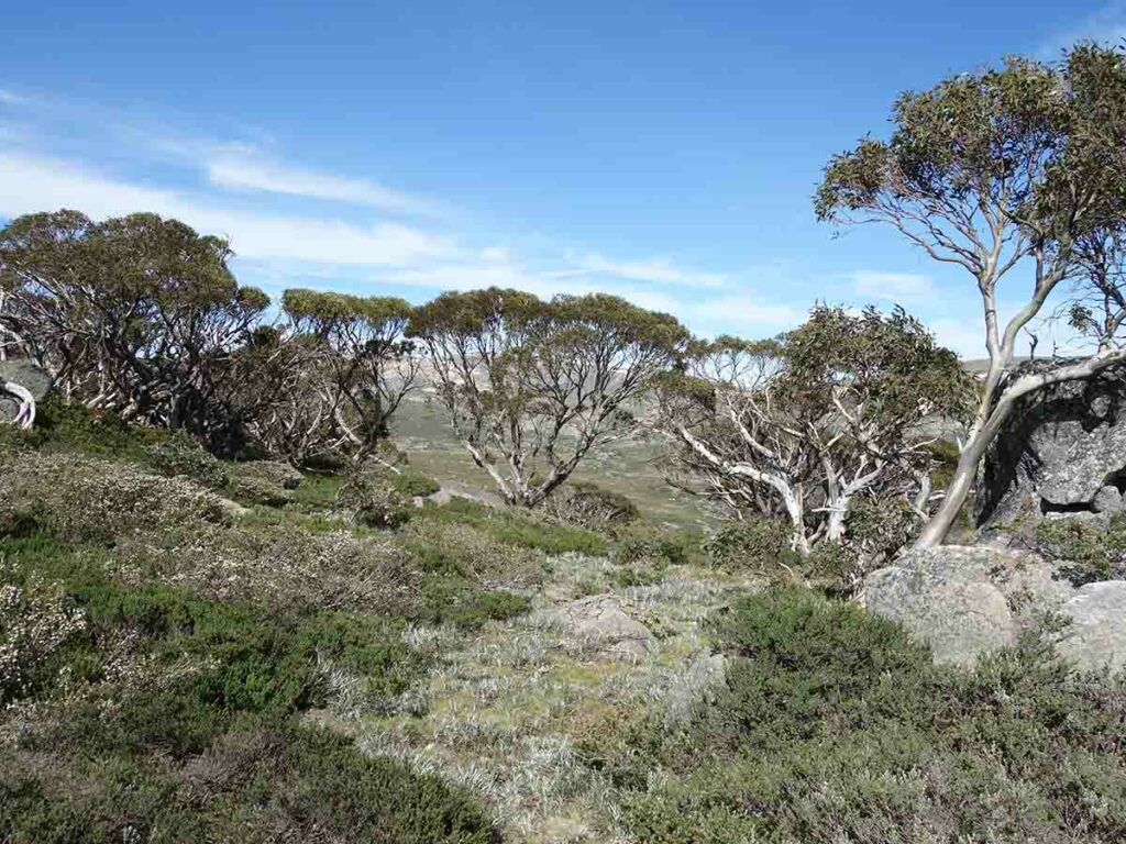
View off trail. Most of this walk is within the tree line zone
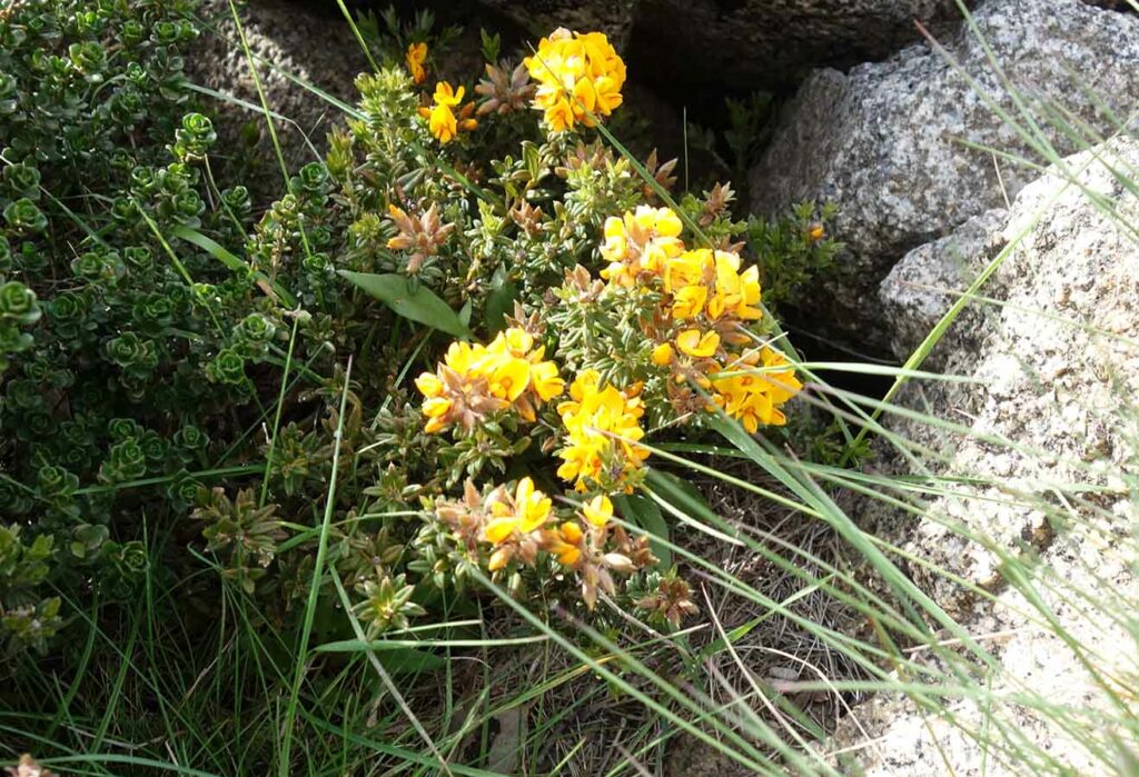
From late spring to early summer there are always plants in flower
View to the valley on the left of the trail
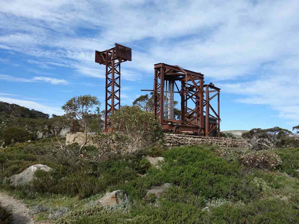
Old ski lift infrastructure
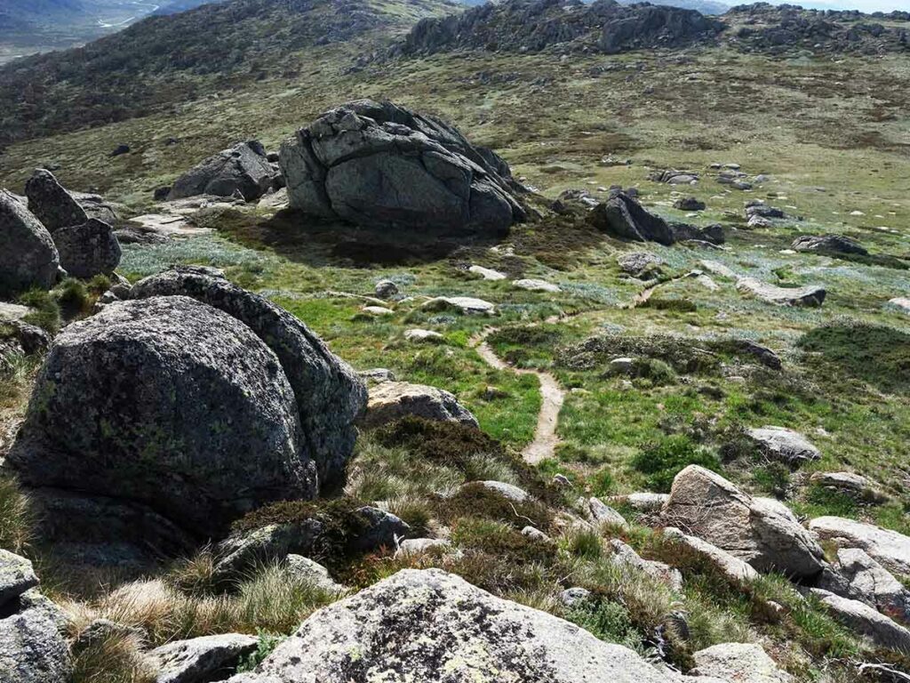
Trail example
Hovea montana, commonly known as Alpine Hovea
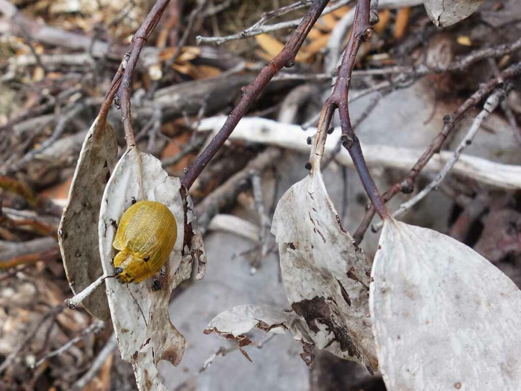
A leaf beetle. The main wildlife you come across in this part of the park is bird and insect life
Spur trail turning right not far past the old ski lift
Spur trail view. While not a formal lookout it’s well worth the short detour to have a look
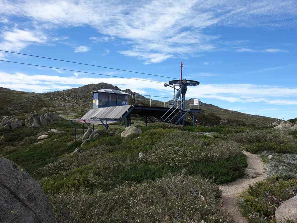
Apporoaching the lookout which is located just to the right of the ski lift
Mount Stilwell Lookout
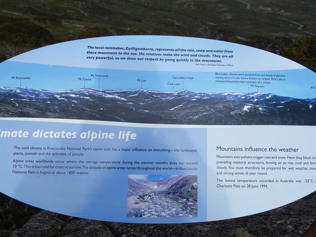
Just some of the interpretation signage at the lookout
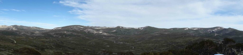
Panoramic image from the Mount Stilwell Lookout
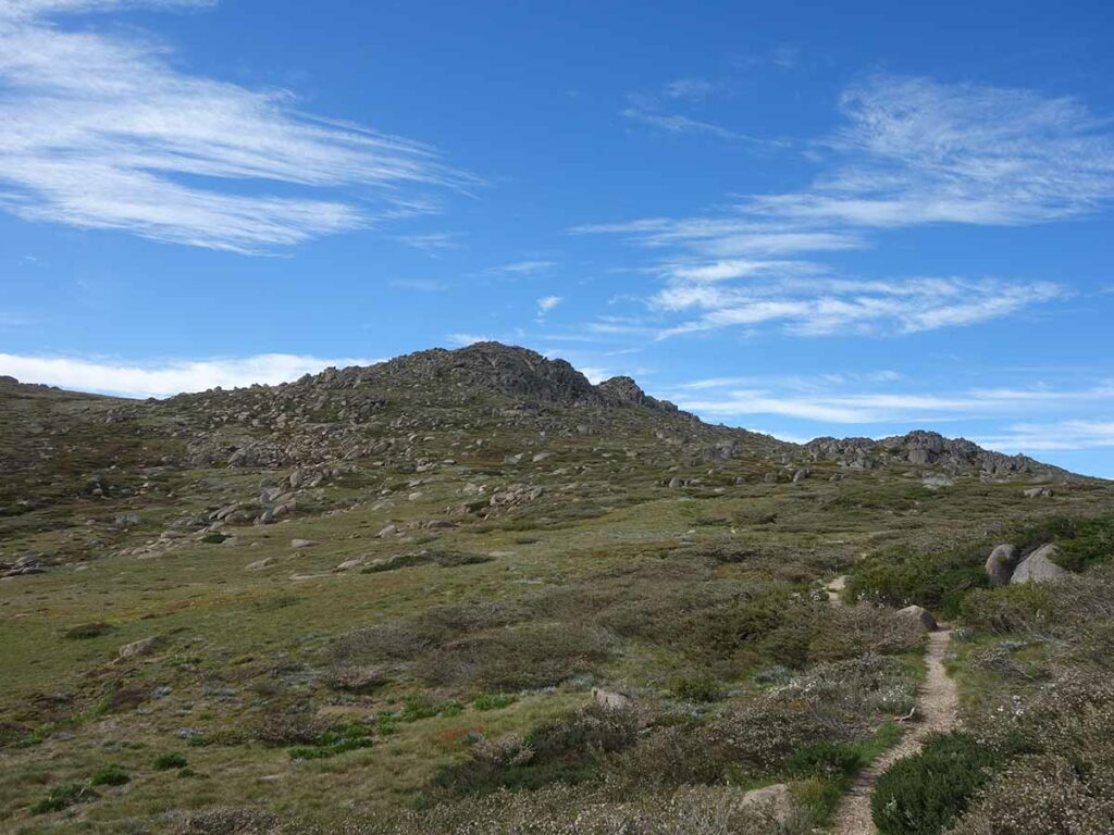
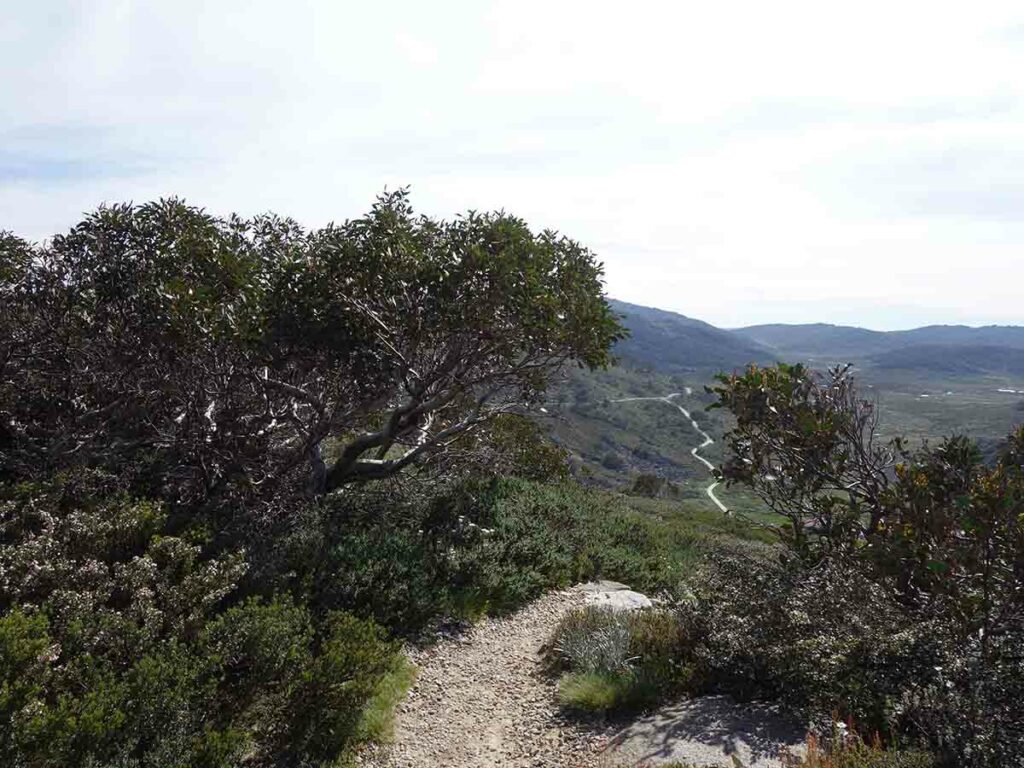
Continuing on to Mount Stilwell Summit
Trail example leading up to the summit of Mount Stilwell. The trail tread from the lookout to the summit is less tended and therefore less obvious
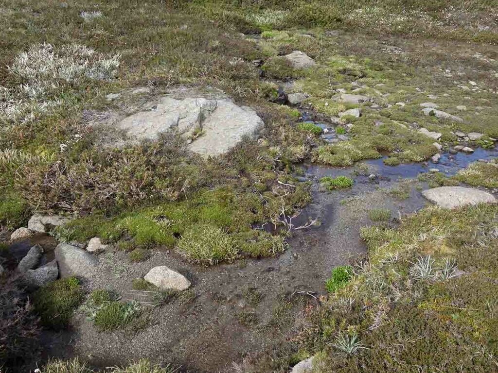
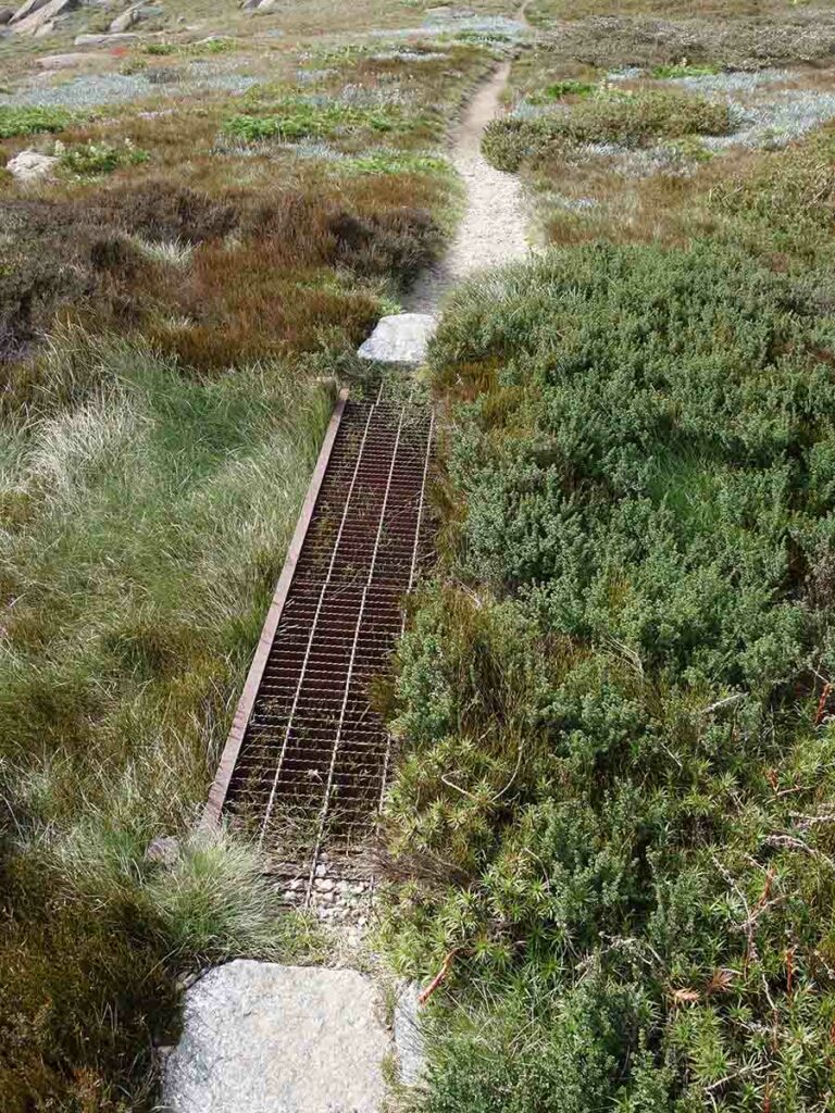
Water movement on the trail
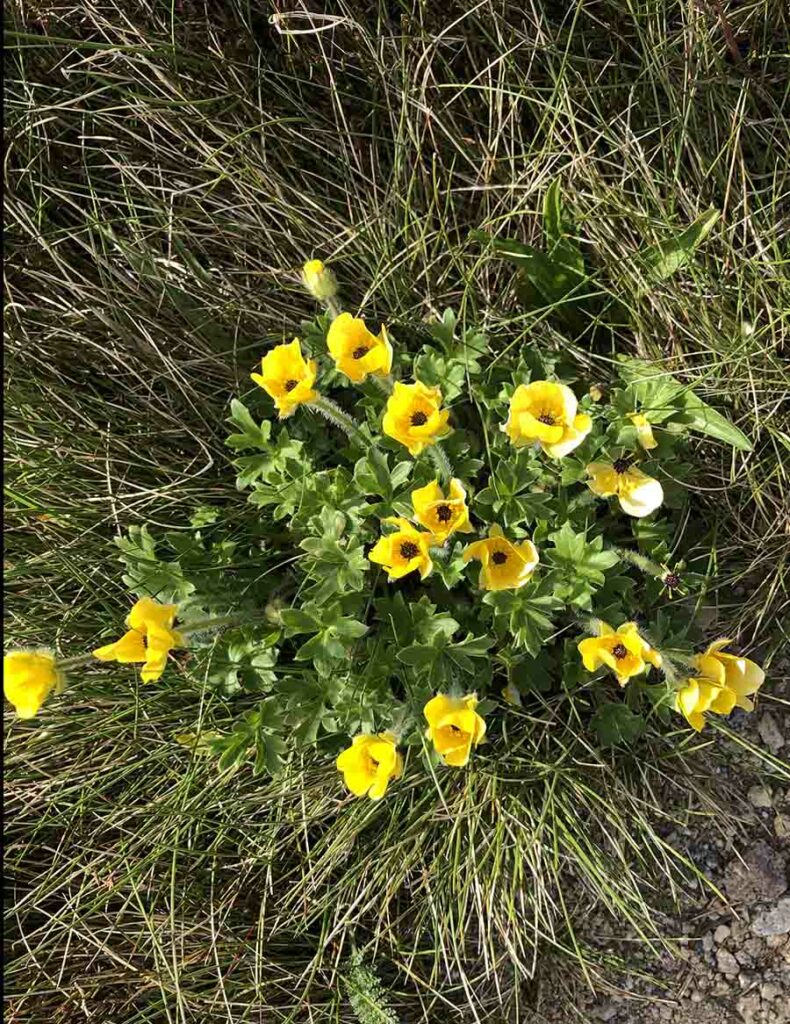
Wildflowers in the Australian Alps
At one point going up I lost the trail and rejoined it shortly after. This image is the trail that other hikers have created. Heading back down it was more obvious
The trail goes up around this large rock
Trail example getting close to the summit
Approaching the summit of Mount Stilwell. The trail brings you to the left of the summit and you approach from the backside
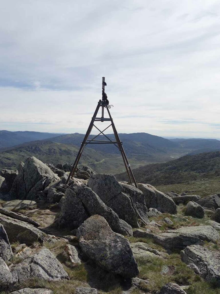
Mount Stilwell Trig (Summit marker)
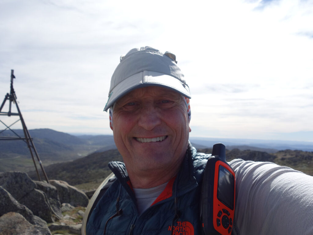
Tim at the summit of Mount Stilwell
Summit video
Heading down
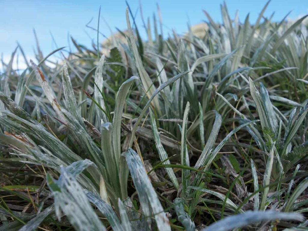
Silver coloured grass
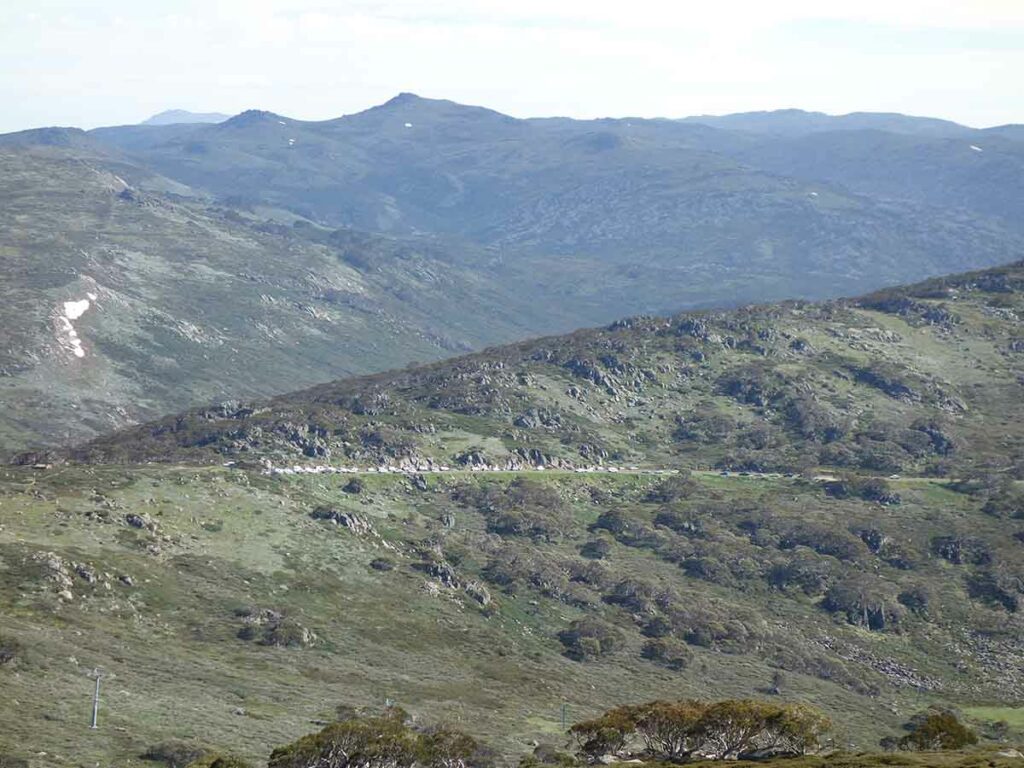
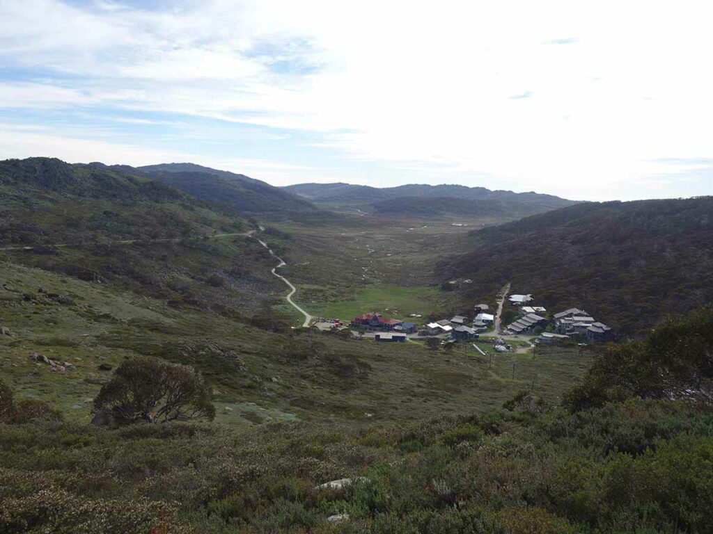
Looking back to the trail car park
Back into the tree line
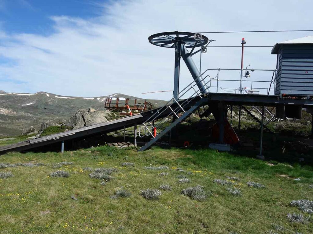
Back to the chairlift and lookout
Heading back down
Approaching the trailhead
Back to the trailhead
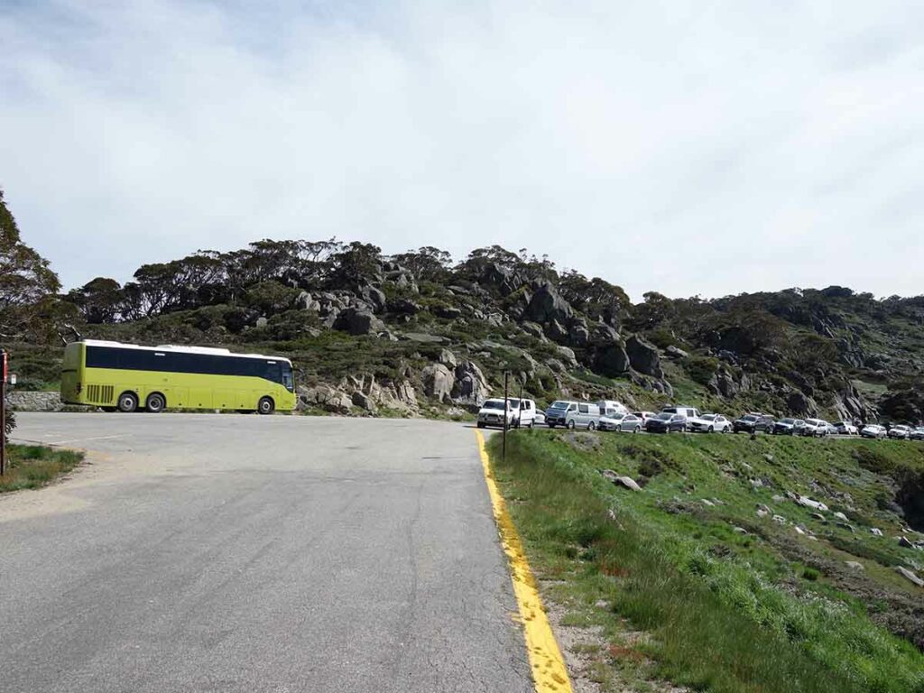
Back to the car park
Trail video
Trail video showing the walk from start to finish
Getting There
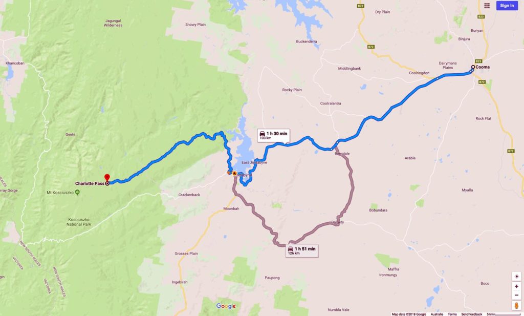
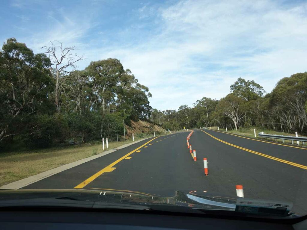
Travel to Jindabyne via Cooma and head towards Charlotte Pass. There is a park entry fee which you can pay as a day or annual pass at the visitor centre in Jindabyne or at the toll gates on entering the park. The visitor centre in Jindabyne opens at 8:30am most days but check the timings on the website just in case.
Follow Kosciuszko Road until it ends at the car park at Charlotte Pass. Long term parking is along the road but there is 20 minute parking which allows you time to offload gear if you need. If you want to avoid the crowds on busy weekends, start walking around 8:00am which will allow you time to get a good parking space
Entering Kosciuszko National Park
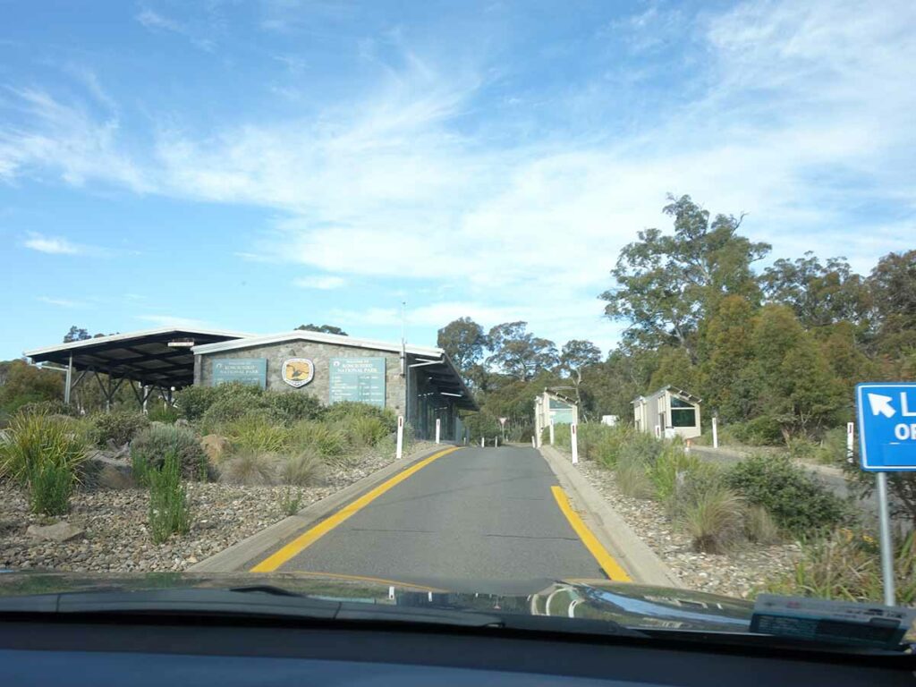
Park entry point. You will need an annual pass or will have to pay the daily park entry fee
Things to Know
- Phone: There is good phone signal on this track (Telstra)
- Water: You need to bring your own water. There are some locations to draw water on the trail but if doing so you should filter
- Toilets: The only set of toilets are at the trailhead
- Trail: This walk is an ‘out and back’ experience
- This trail consists of formed track
- The first section of this walk showcases old ski fields infrastructure
- Dogs: No dogs allowed
- Other:
- The March Flies can be ruthless from about mid November-mid March so wear long sleeves and long pants. They don’t care about insect repellent!
- If you plan on camping, be aware of the restrictions regarding where you can camp
- The Australia Day weekend in January is a very popular time for this walk. If you are planning on walking on this weekend start early to avoid big crowds (before 8:00am)
- Come prepared for bad weather conditions and low temperatures even if its not forecast
Disclaimer
This walk was undertaken by the team from Australian Hiker