Mount Mundoonen Summit Walk NSW (2.8km)
Mundoonen Nature Reserve
Nearest Town
Yass, NSW
Starting Location
Mount Mundoonen trailhead, just off the Hume Highway on Sheldricks Lane access road (old Hume Highway)
Finish Location
Mount Mundoonen trailhead, just off the Hume Highway on Sheldricks Lane access road (old Hume Highway)
Best Time to Travel
Year round, although October is a great month for orchids
Mount Mundoonen Summit Walk Review
The Mundoonen Nature Reserve is located about 60 km from the centre of Canberra and about 15 km from Yass. This 1,485 hectare reserve is located on both sides of the Hume Highway and is about as basic as it gets with no facilities provided even to the point of parking on the side of the road rather than a designated car park. The management plan identifies this area as being suitable for ‘Self-reliant day bushwalking’ but doesn’t go as far as providing trails or signage apart from the reserve sign located just off the main highway.
To get to the trailhead head towards Yass on the Barton Highway and turn towards Goulburn. The trailhead is located approximately 9 km as you turn off the Barton Highway. Mount Mundoonen is very obvious being the tallest peak in the area and given its also dotted with communication equipment. As you start getting close to this summit pay attention to the road signage. The hardest part of this walk is not driving past the turnoff points so keep an eye out for the signage to Sheldricks Lane on the left side of the road. The road you turn onto is actually the Old Hume Highway and as you make a left turn off the Hume Highway, make another immediate left turn and park just off the road on an area of open clear ground.
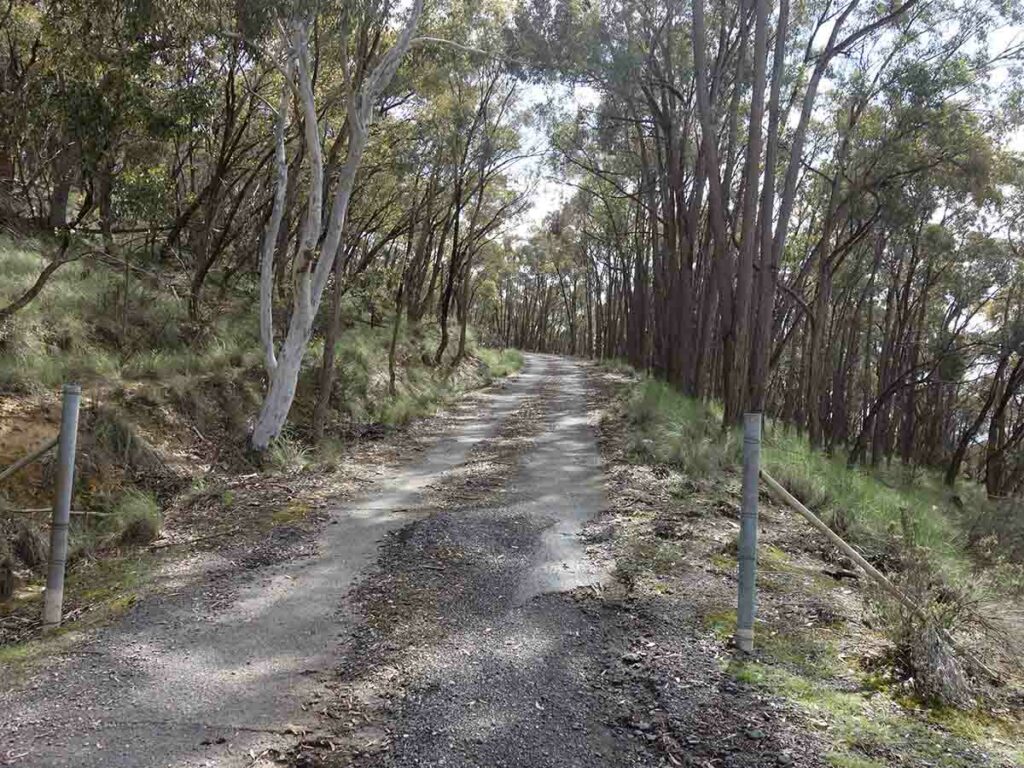
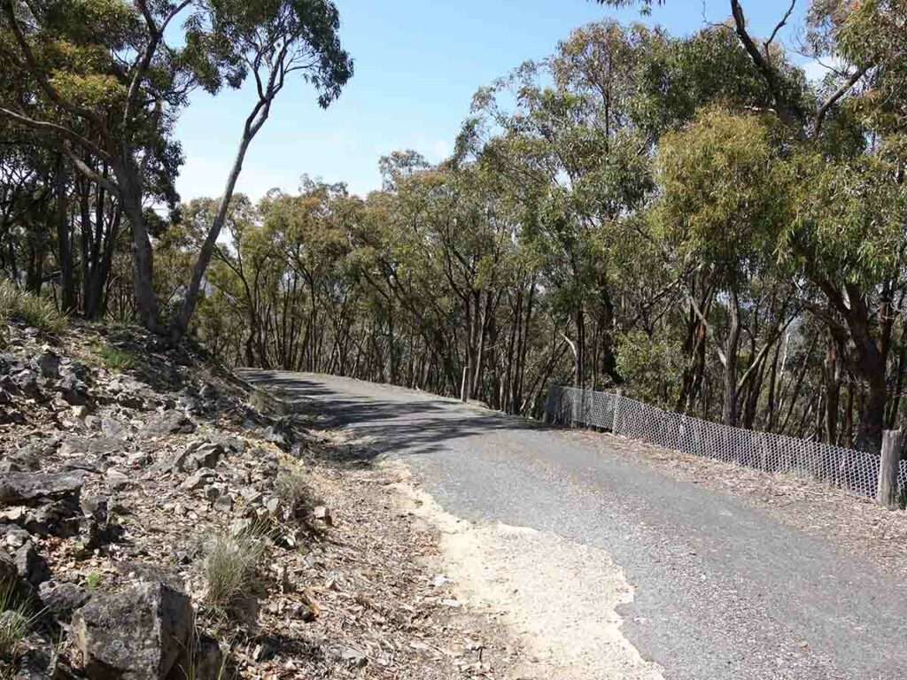
This walk is on management road and while you could potentially access the summit via vehicle this isn’t permitted. The only signage in this area is a reserve sign so you will need to take the obvious management road up towards the telecommunications tower which is just visible at the start of the walk. As you walk toward the summit you notice various offshoots that look like 4WD trails but these are much steeper and rougher so the obvious management road is what you are after.
Now I must say here Gill was at this stage not overly happy with the choice of this walk but didn’t voice her concerns at this point. Her sentiments soon changed as we wound our way up the management trail and started to find Glossodia major orchids along the side of the road in the drainage channel. Initially they were in group of one or two but by the time we got halfway to the summit we had counted over 50 of them.
On reaching the summit the views are pretty limited and while the top of the mountain has been cleared to accommodate the telecommunication towers, the slopes are still heavily treed. Again this didn’t worry us because we soon found a number of Diuris (Donkey Orchids) scattered around the summit along with Fringe Flowers (my favourite) and a number of other wildflowers. In some respects this was just sheer luck given this is the wettest start to spring that we have had in a while. Had we have come up at a different time of the year we may not have seen them. After finding Diuris orchids we spent time wandering around the summit through the open area to see what else we could find and were rewarded with other wildflowers.
A couple of other things worth mentioning is that rubbish has been dumped in this area over the years and I found the bottom of an old beer bottle with a 1958 date stamped on the base. There are also random bits of rubbish dumped along the trail that while noticeable doesn’t detract from the walk itself.
We are planning on returning in November because we came across other species of orchids setting flowers but not quite ready to open up. Even without the orchids, this is a walk well worth doing taking you through nicely treed forest along the trail. If you are really into remote stuff there is also the opportunity to go off trail and wander through the rest of the reserve to see what’s there.
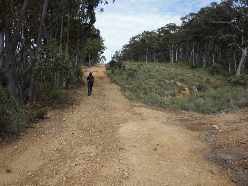
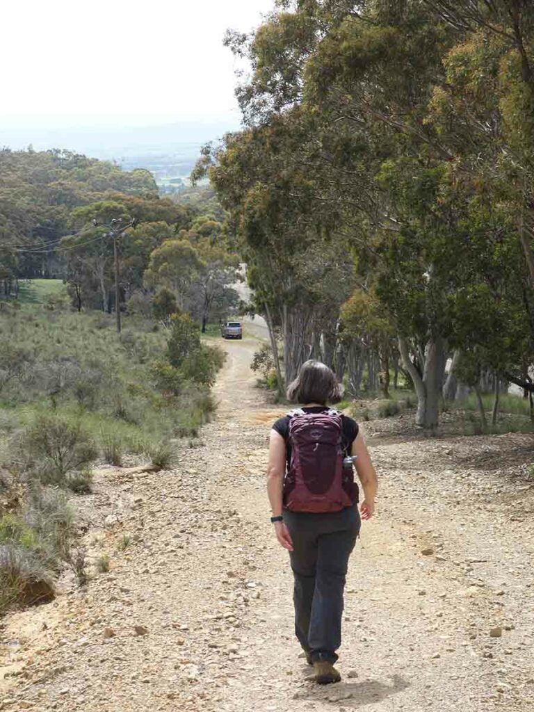
Heading up on the management trail, avoid roads that look like rough tracks
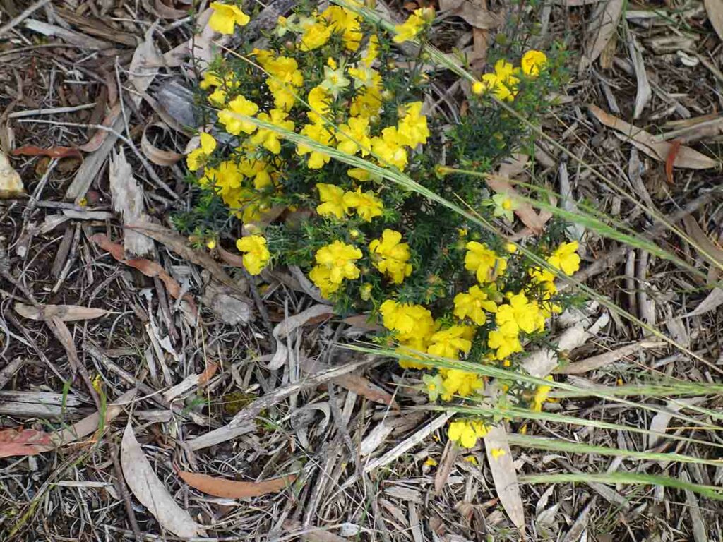
Hibbertia in flower near the car park
Heading up the hill proper
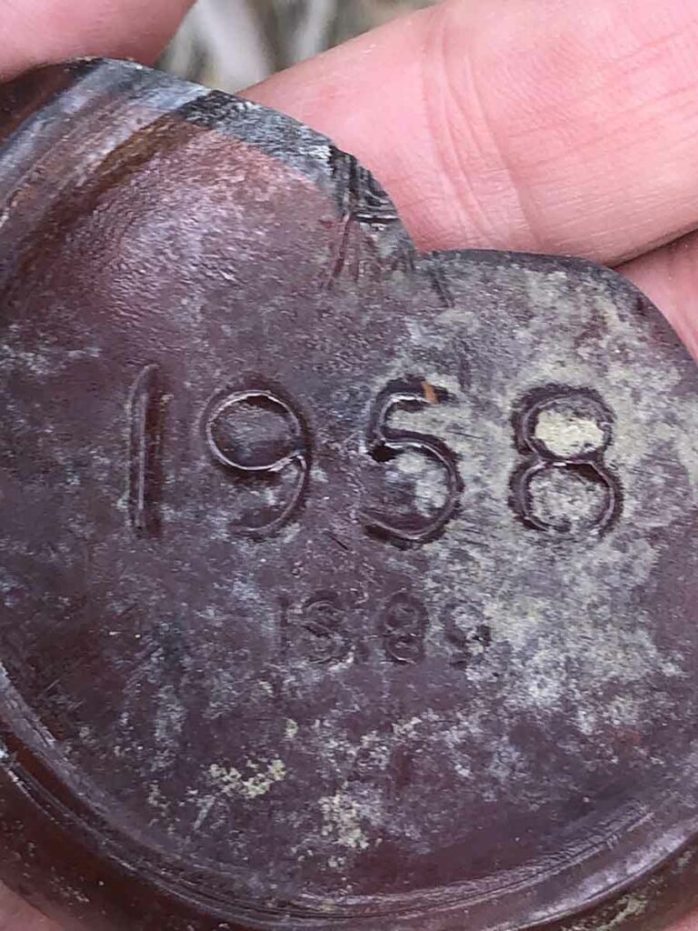
Old beer bottle base. When does rubbish become history?
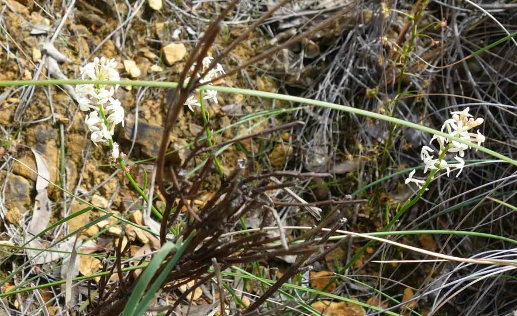
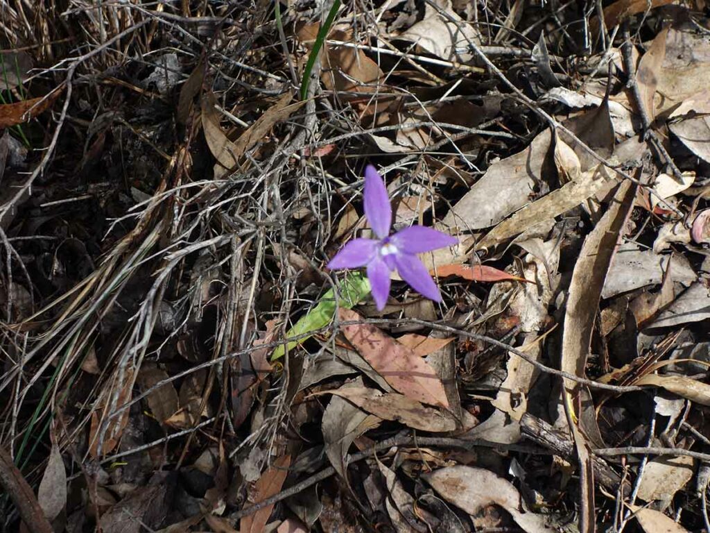
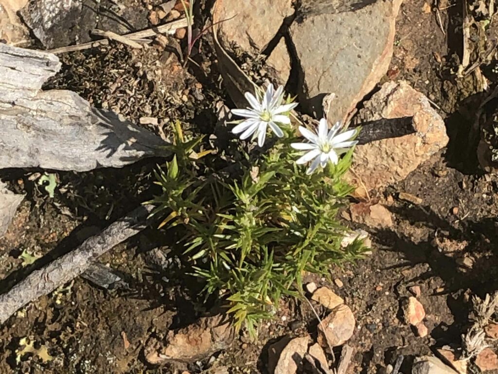
White flowers
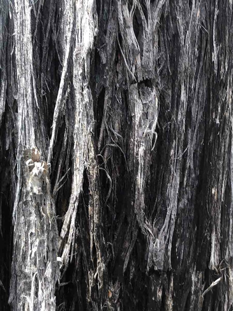
Rough bark
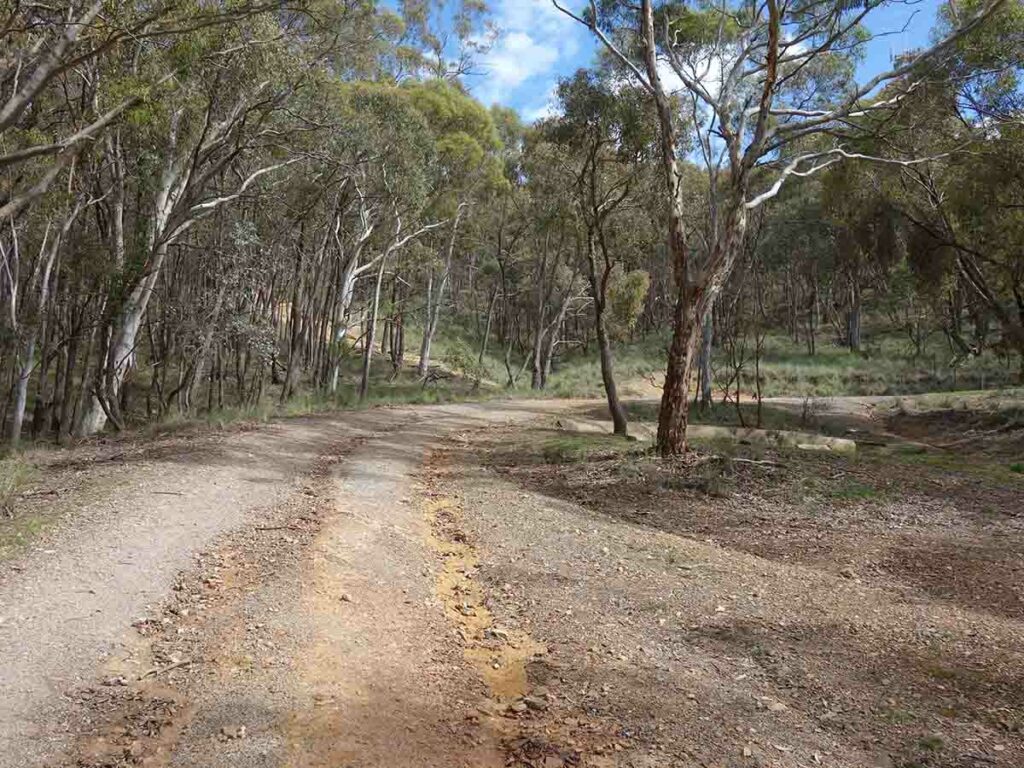
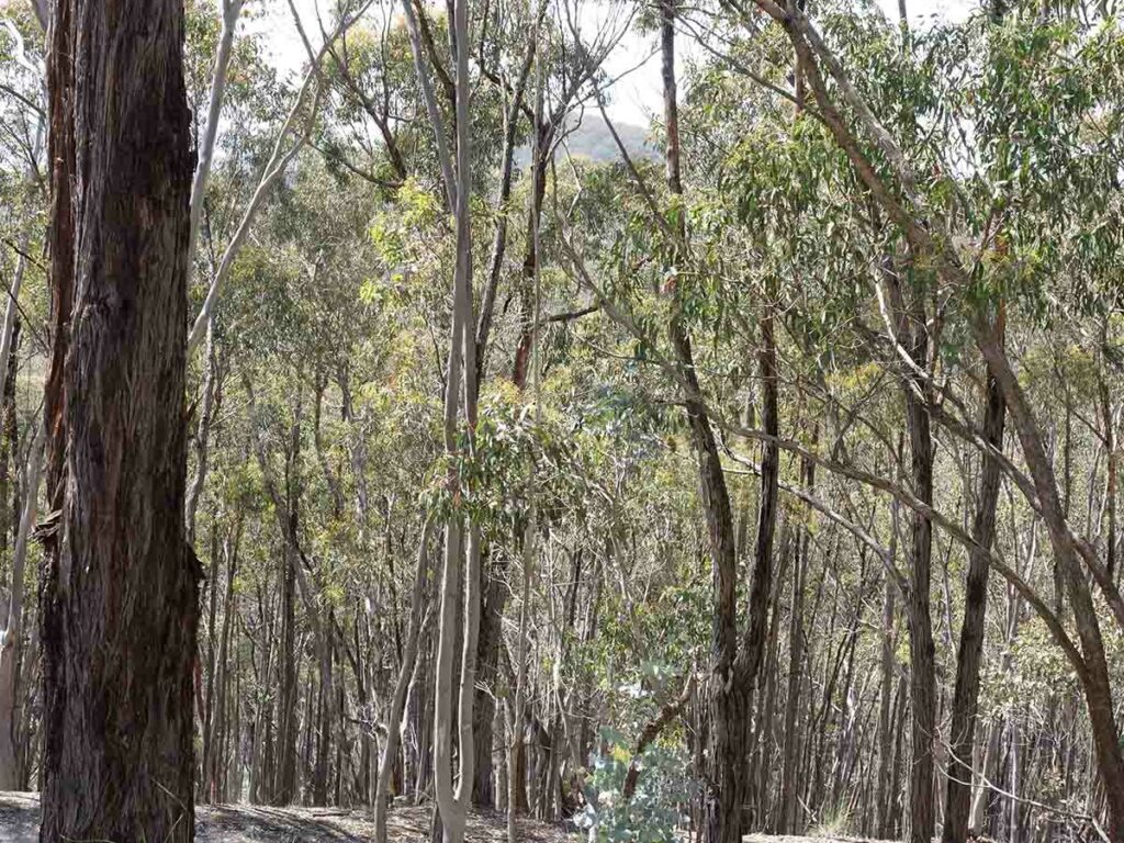
The trees get thicker as the trail climbs on
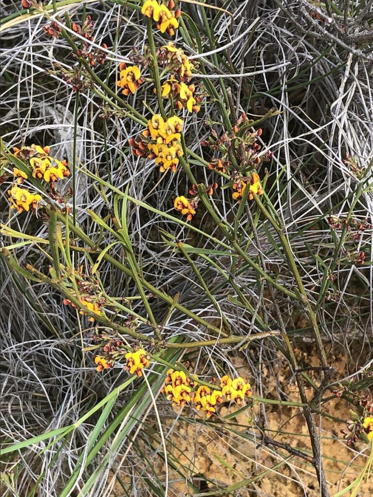
Pea flower
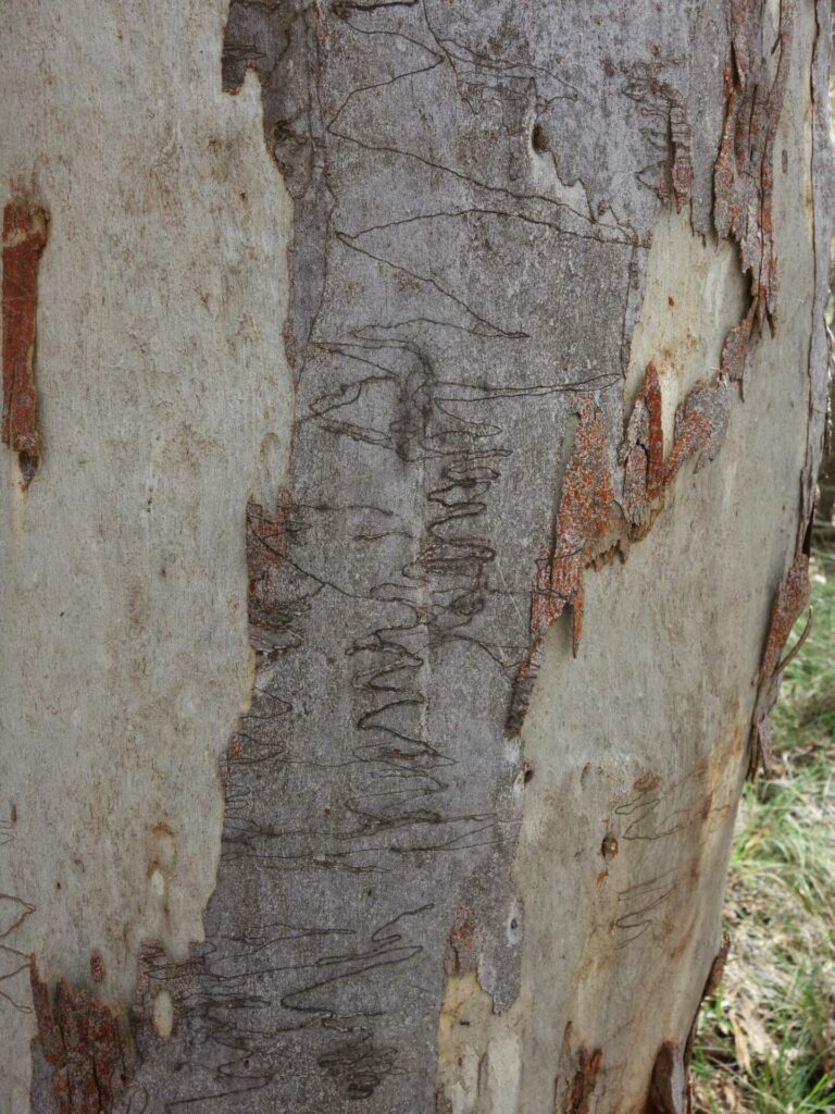
Scribbly gum
Caladenia orchid. We counted just on a hundred on this walk – it seemed like the seeds had washed down the drainage channel
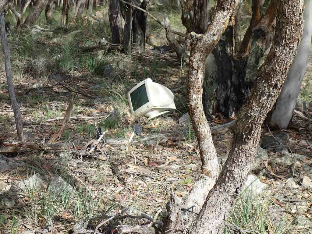
Rubbish on Mount Mundoonen. There’s not much rubbish but you can see people have used this area as a dumping ground over the years
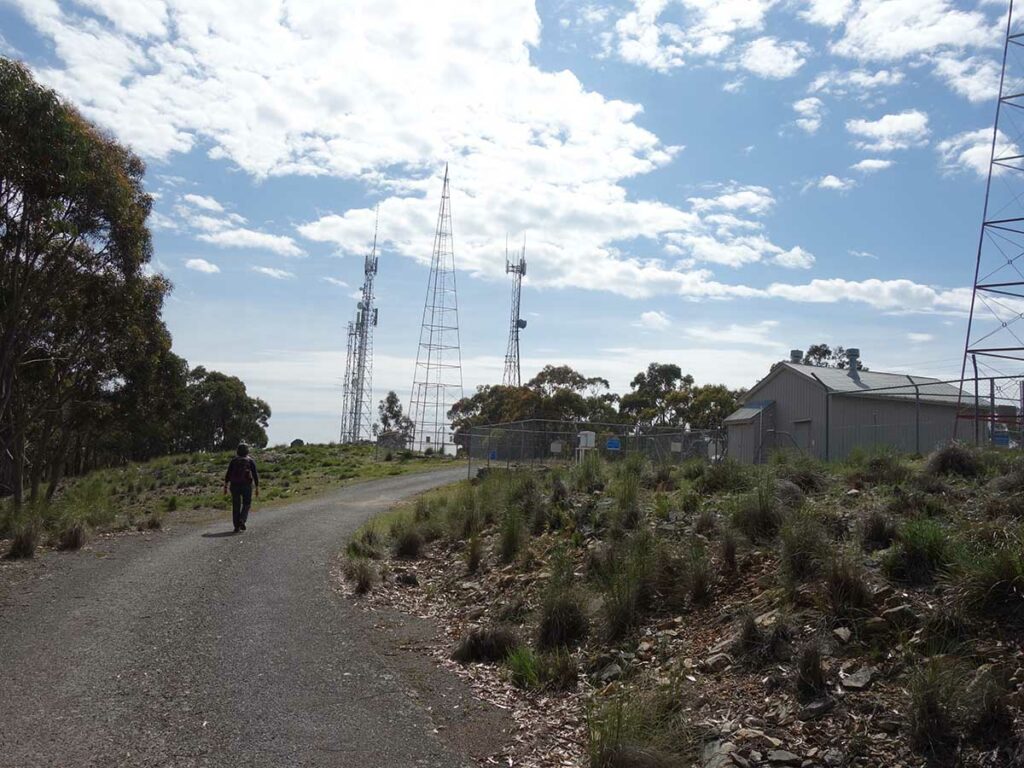
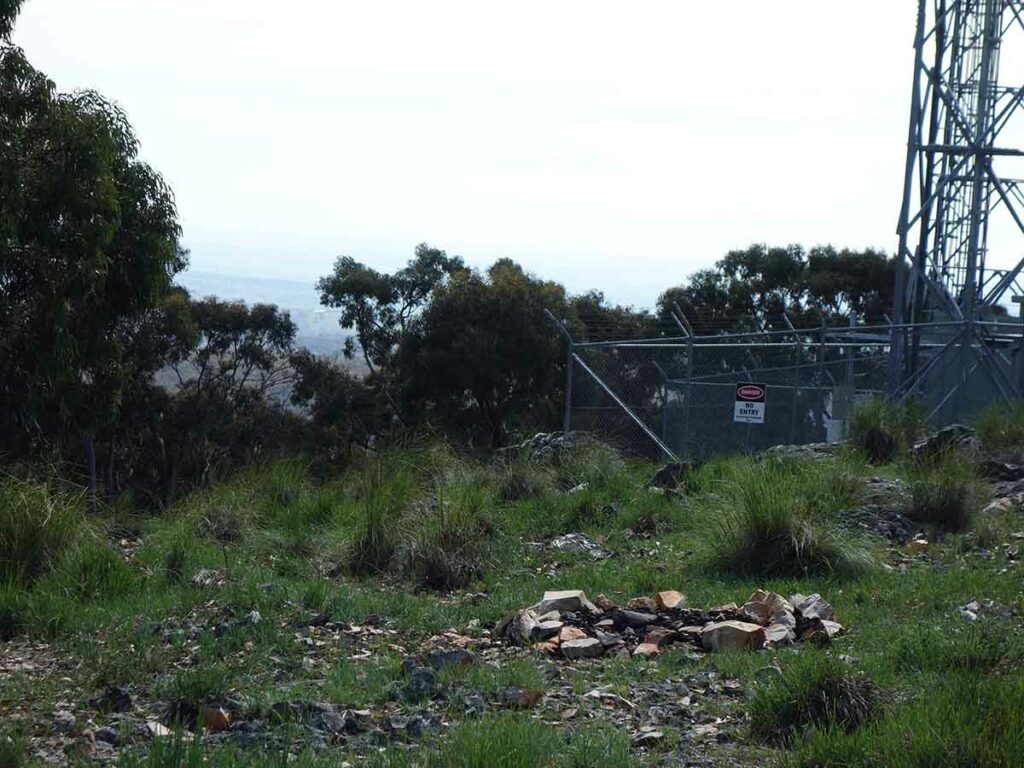
Mount Mundoonen summit
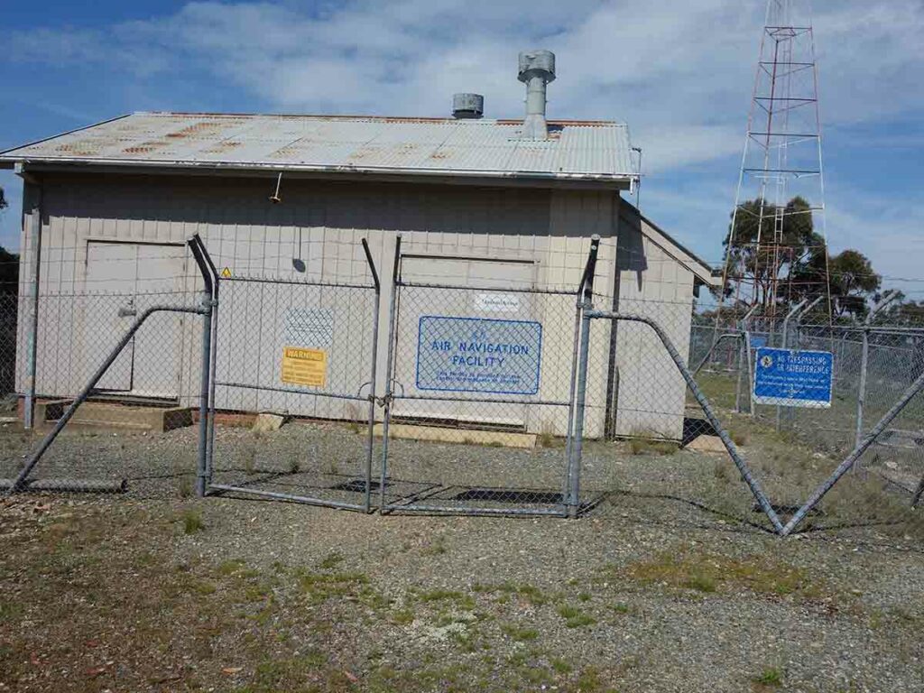
Summit infrastructure
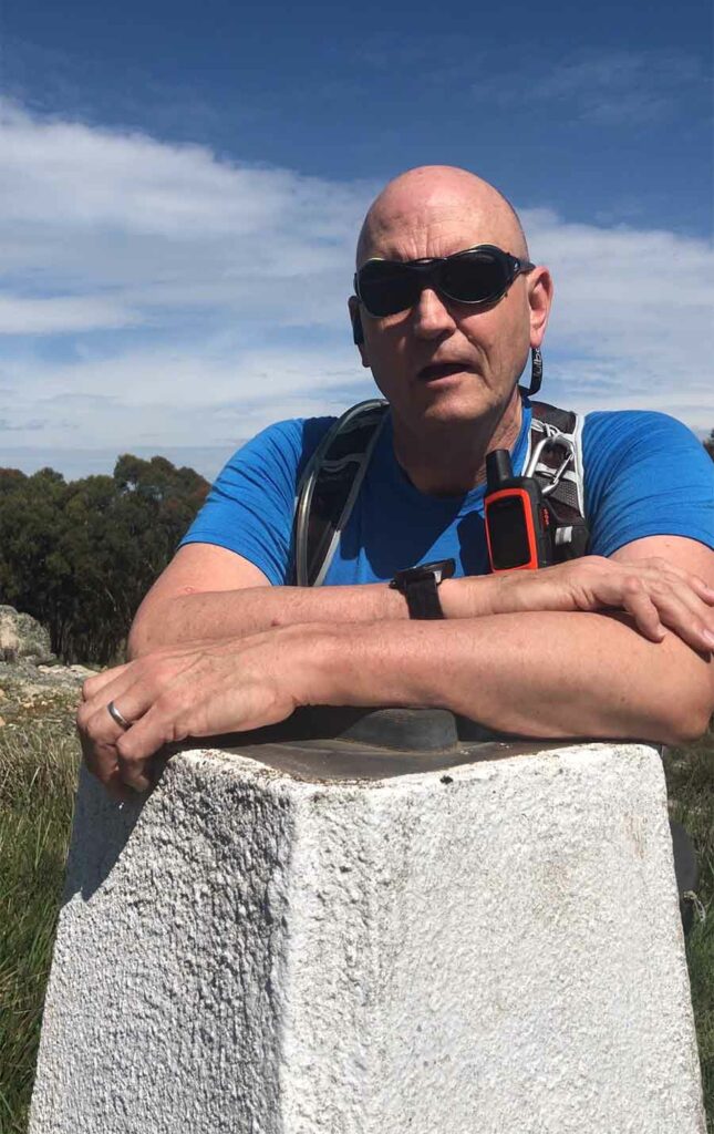
Tim at the Mount Mundoonen summit
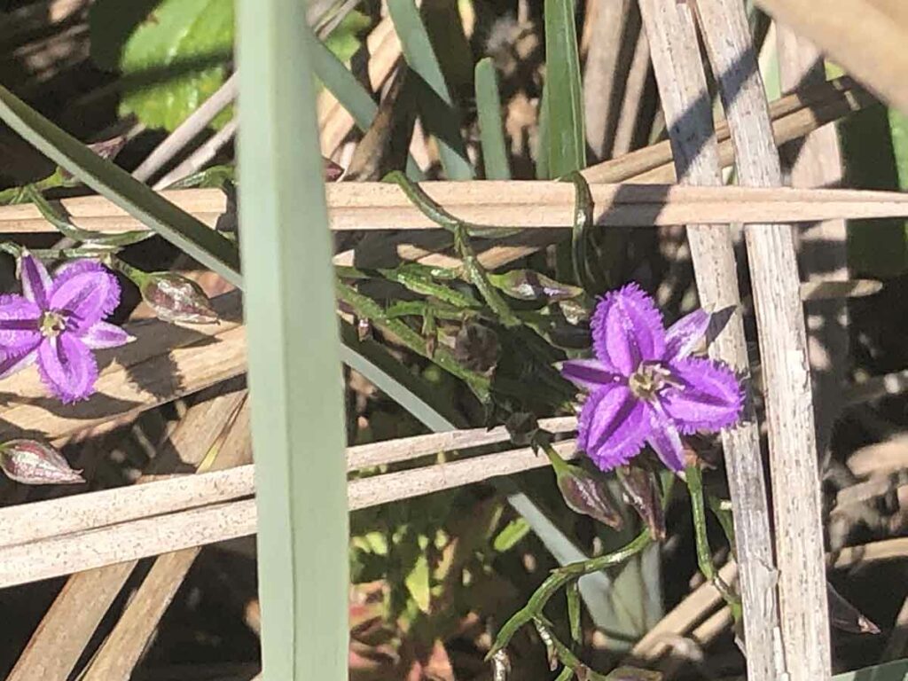
Fringe flower – my favourite
Native daisy
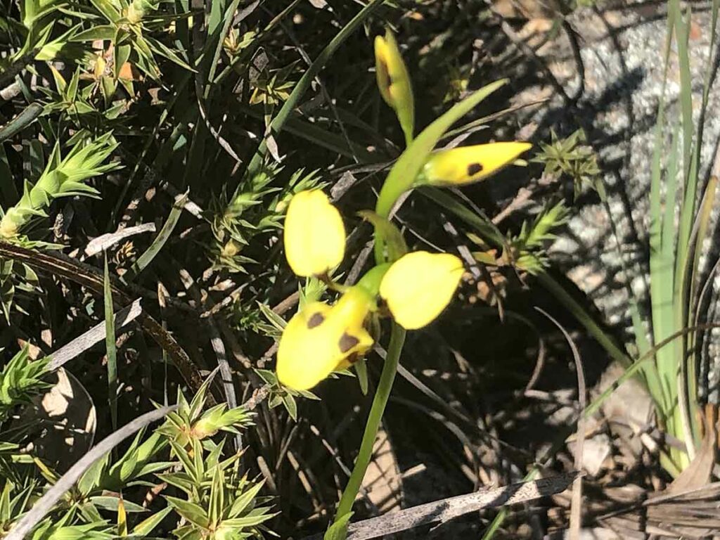
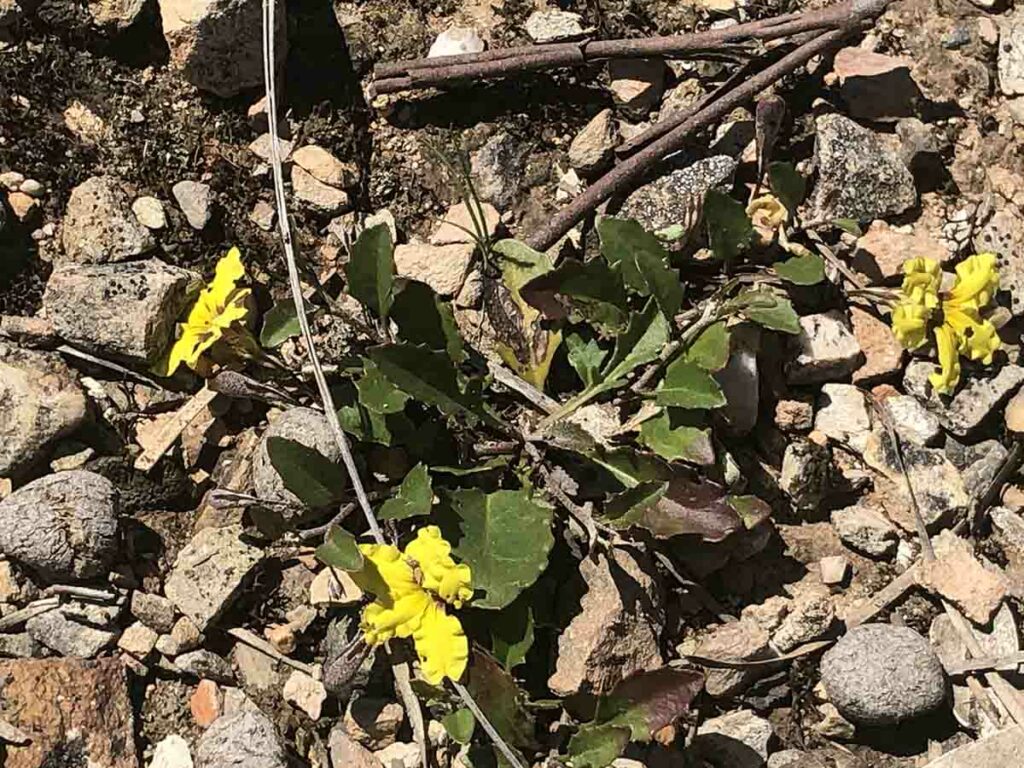
Donkey orchid in flower. While not as plentiful as the purple Caledenia, there were still plenty of this lovely yellow orchid around
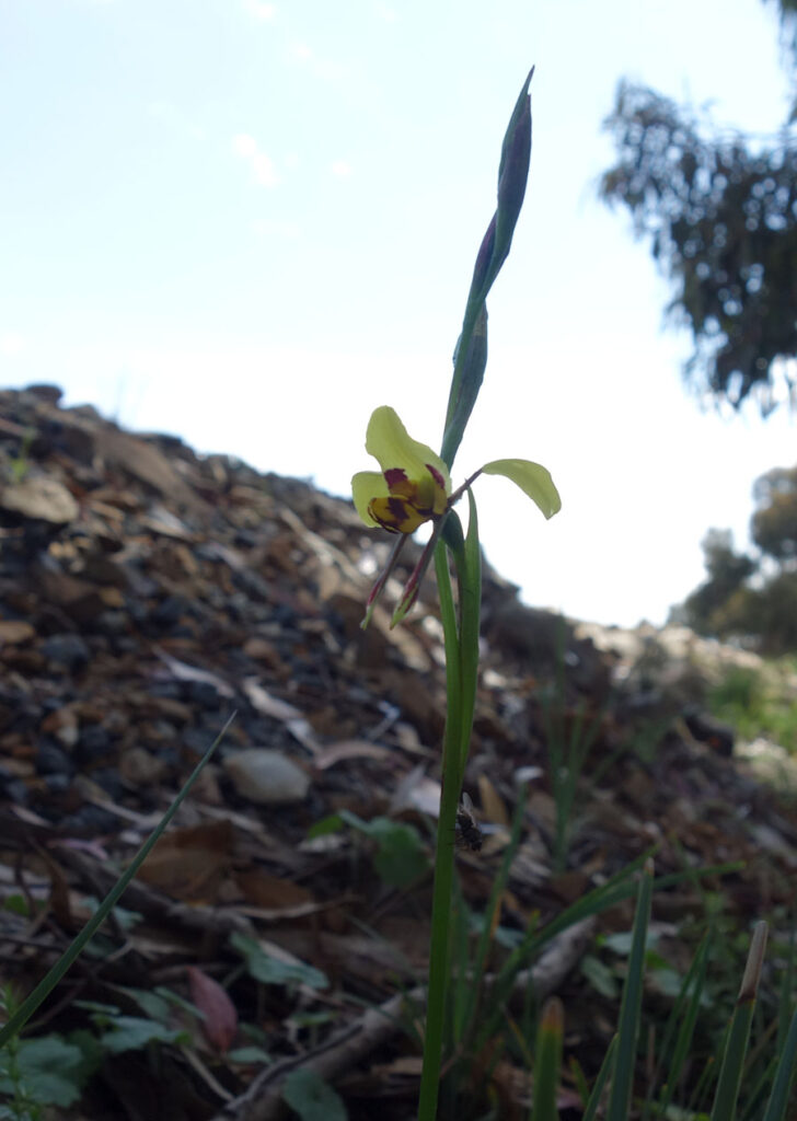
Another Donkey orchid
View into the valley
The rest of the reserve is yours to explore but there are no formal trails
Yellow groundcover Mount Mundoonen
Heading downhill
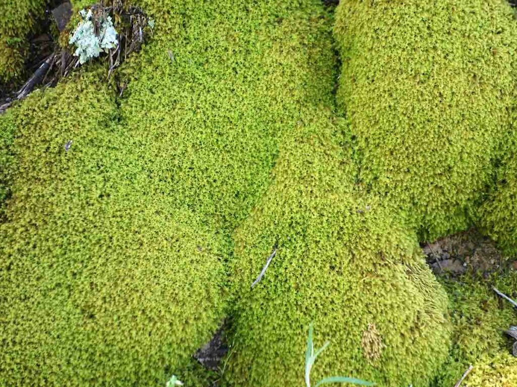
Moss close up of the shadier parts of the trail
View into the reserve down the hill
Heading back to the car
Back to the car
Trail video
This short video contains images and video from our walk that takes you from the start to the finish to show you what it was like.
Getting There
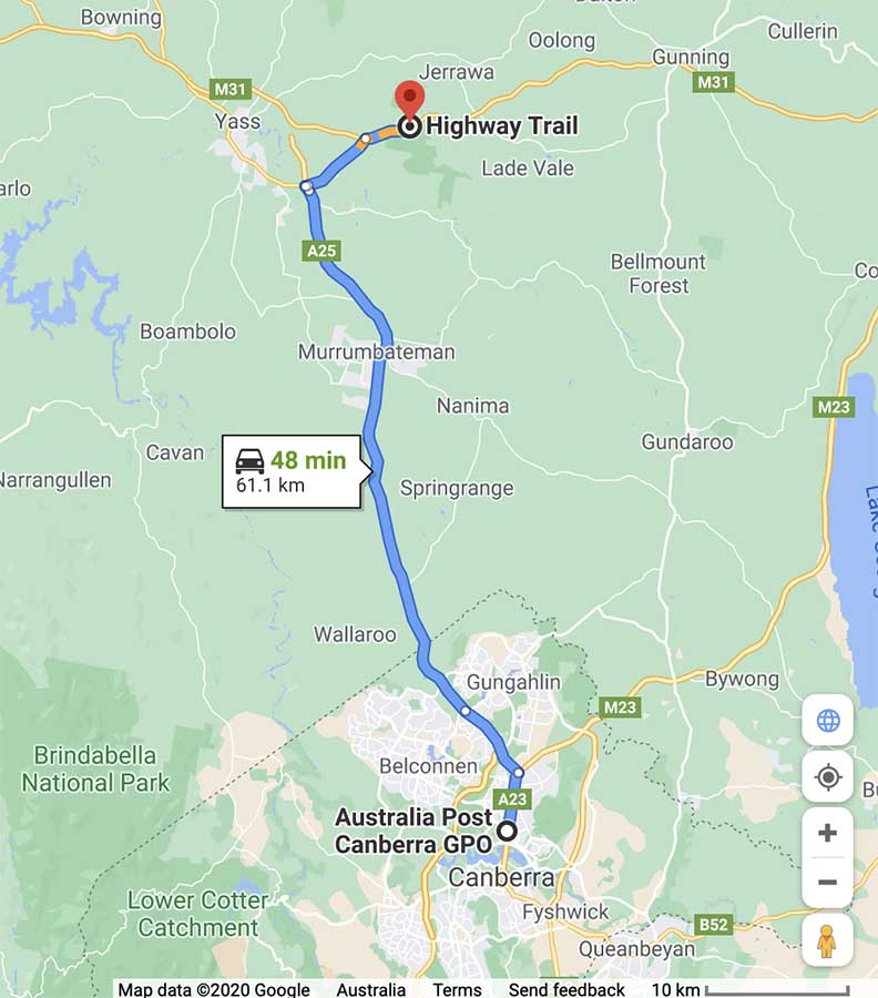
Google map showing the trailhead from the Canberra GPO. The trip from the centre of Canberra is approximately 62 km and around 50 minutes duration. If using Google Maps to get to the walk start enter ‘Sheldricks Lane’ as a destination.
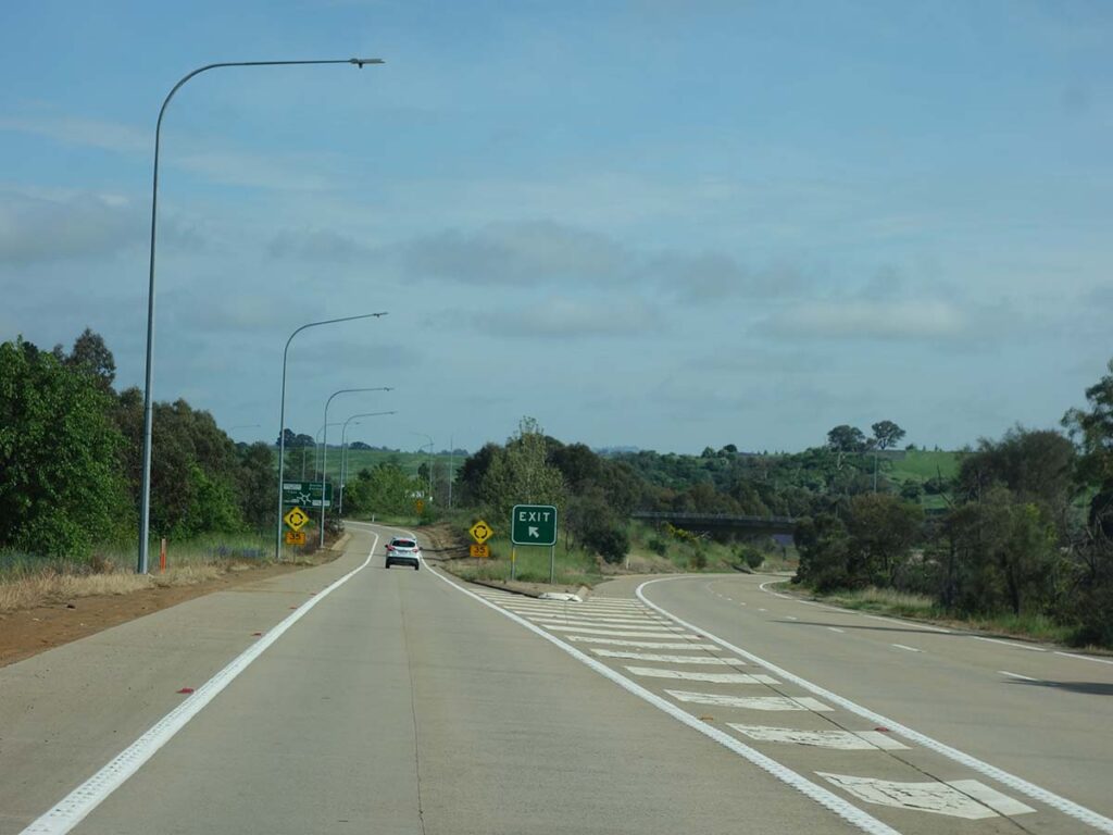
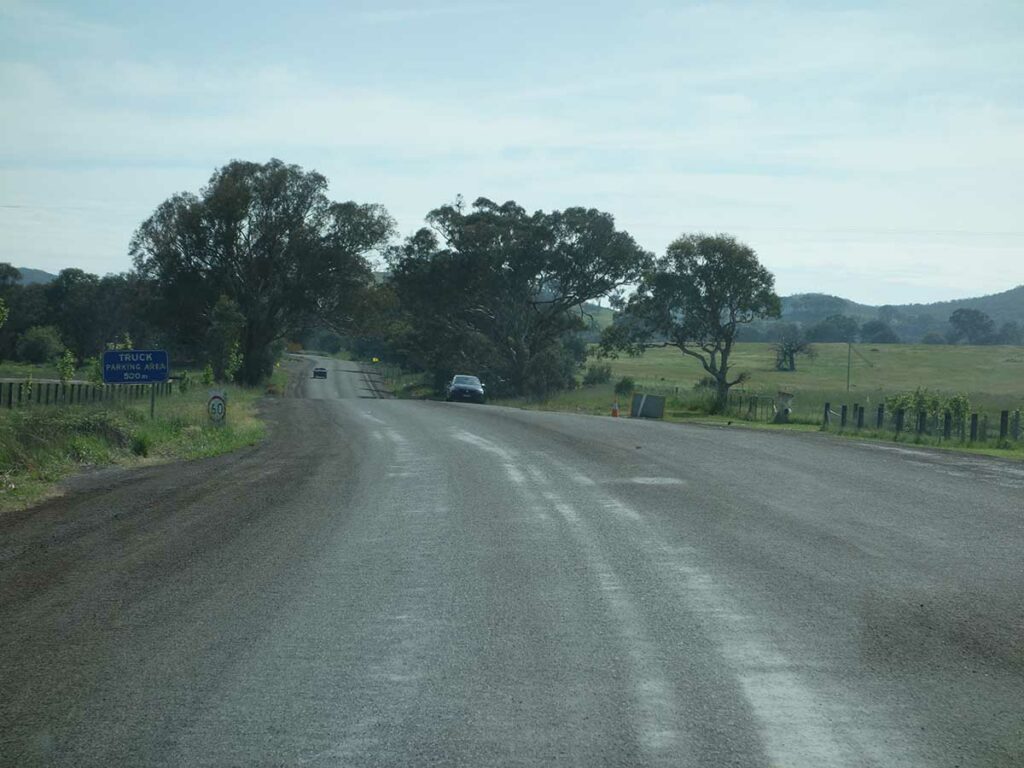
Turning towards Goulburn
On our way
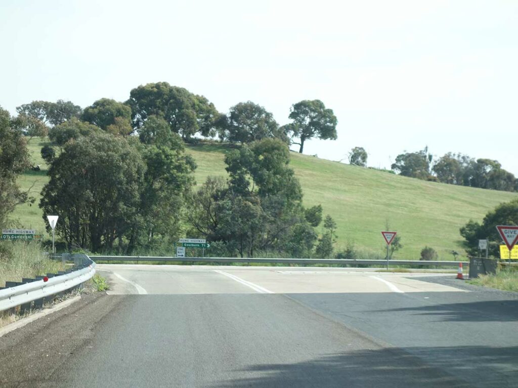
Turn towards Goulburn
Turn left onto the Sheldricks Lane
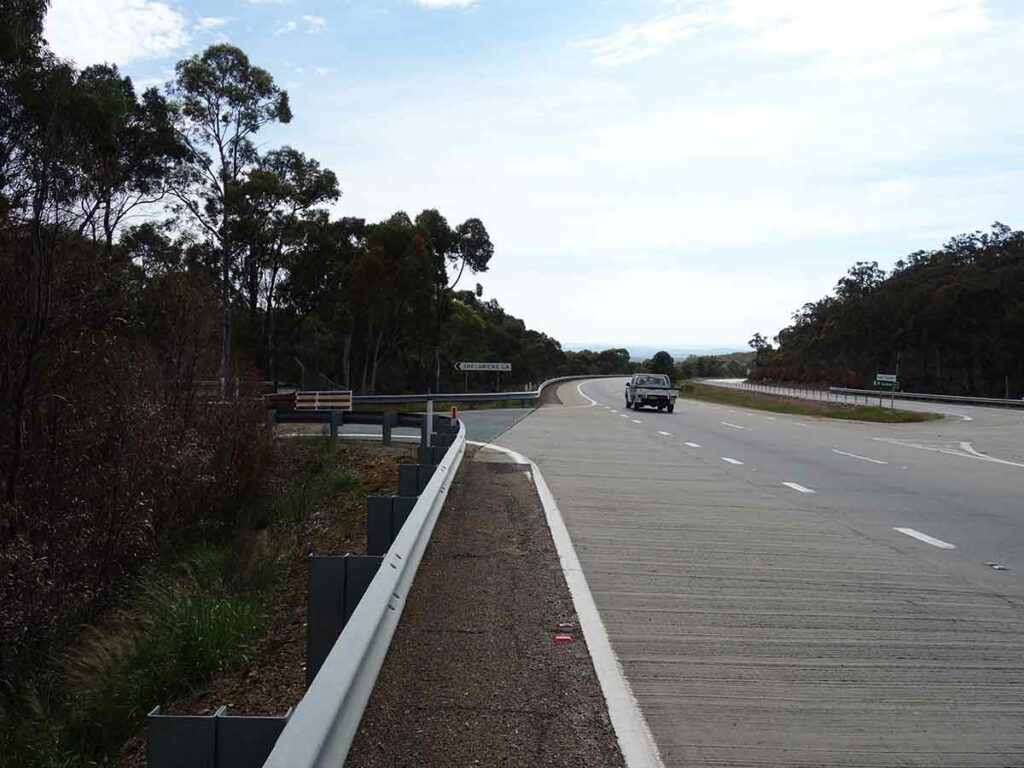
Turn left onto the old Hume Highway
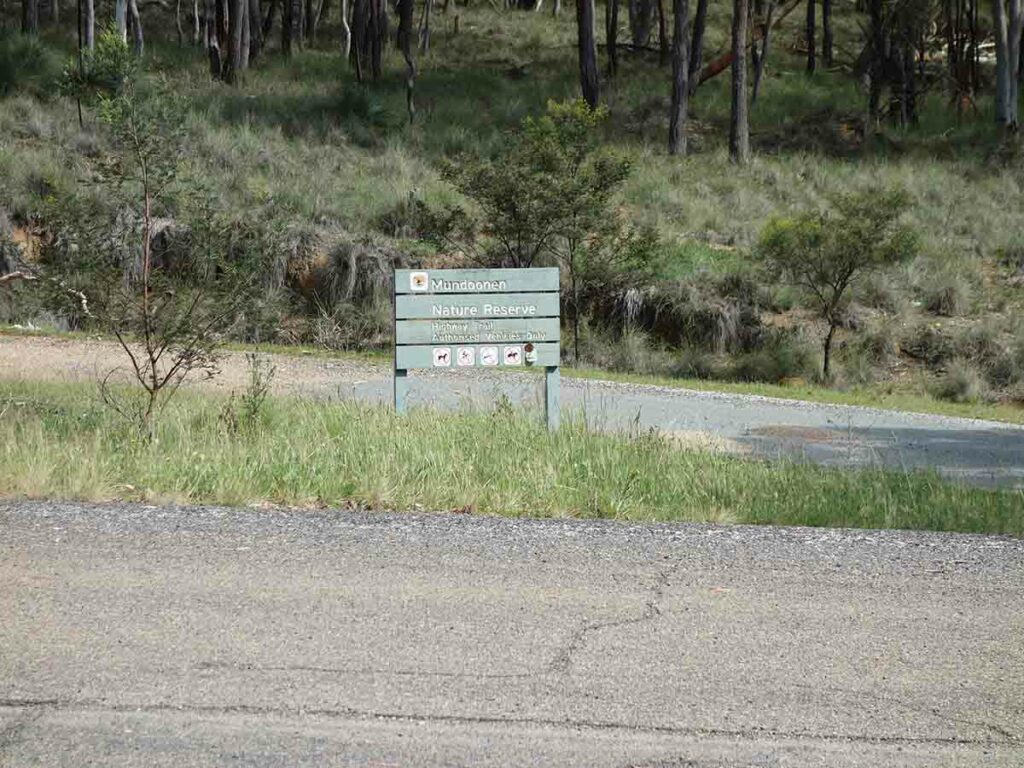
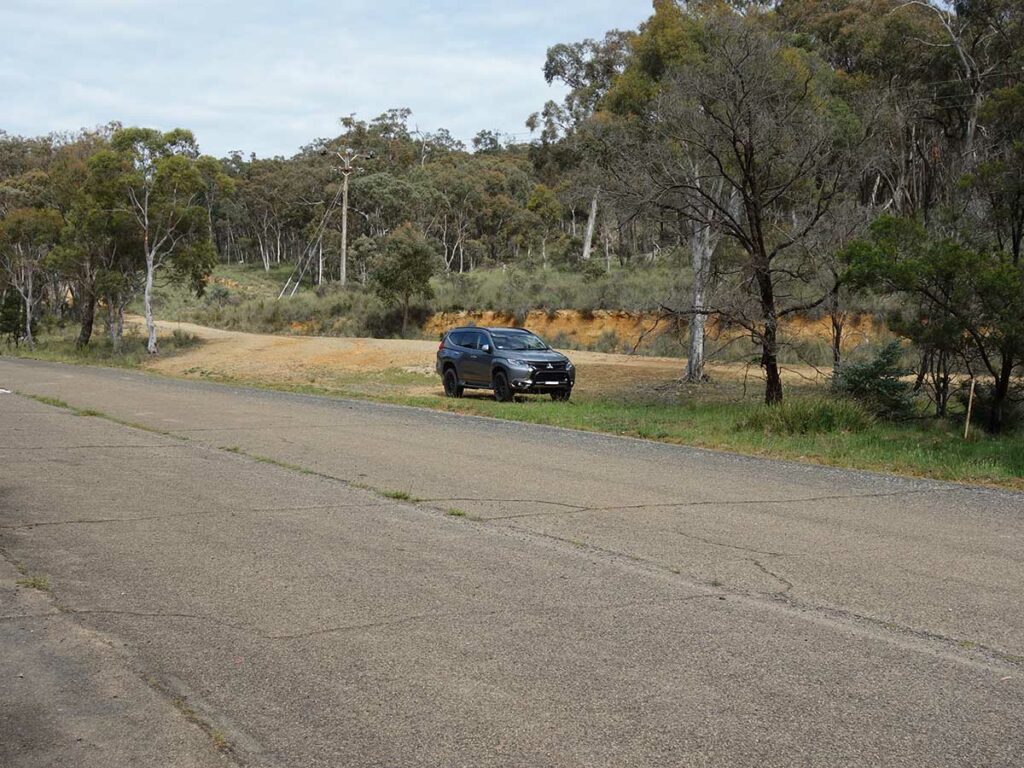
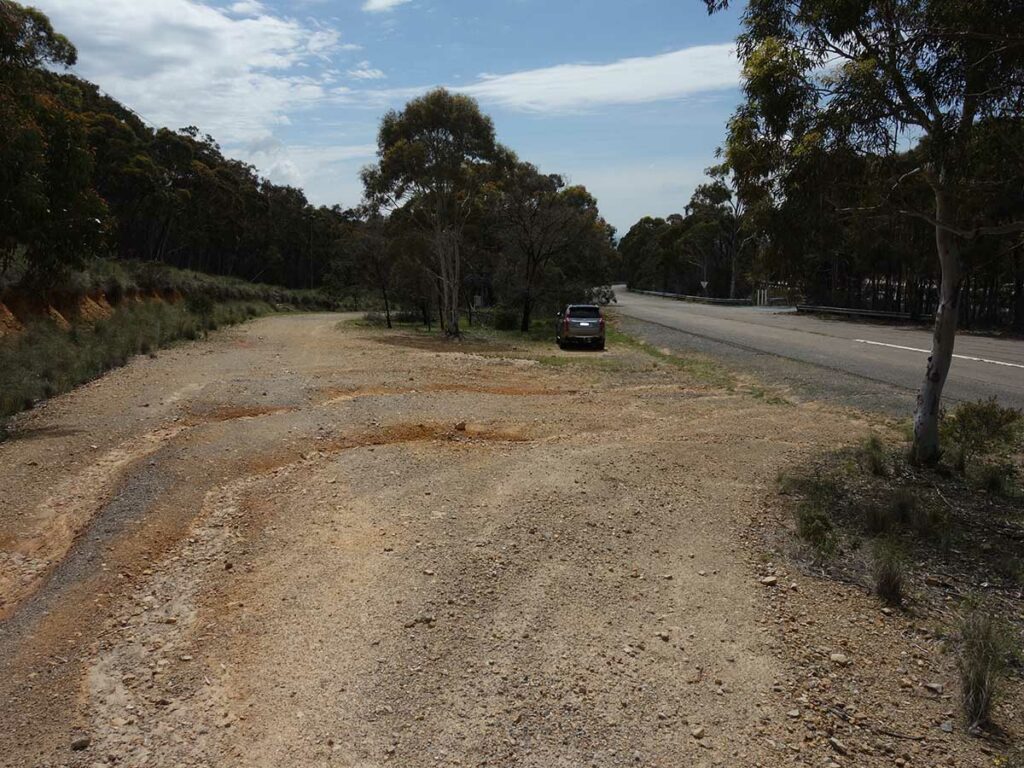
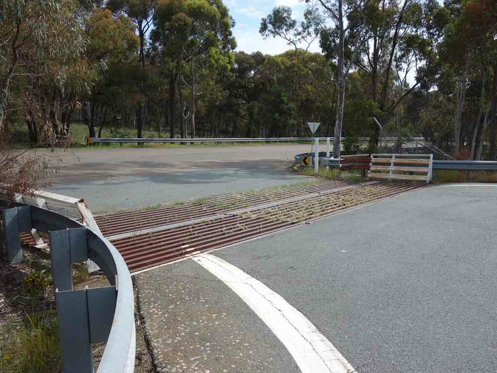
Trailhead for Mount Mundoonen
Park just off the road to start the walk
Things to Know
- Phone: There is good phone coverage on this trail (Telstra)
- Water: You need to bring your own water
- Toilets: There are no toilets on this trail
- Trail: This trail consists of management road
- Dogs: Dogs not allowed
- Camping:
- No camping allowed
- Other:
- Unauthorised vehicles are not allowed on the trail
- Parking is on a bare area just off the road
- There are no facilities on this trail
Disclaimer
This walk was undertaken by the team from Australian Hiker