Horse Camp Hut Walking Track NSW (7.8km)
Kosciuszko National Park
Nearest Town
Jindabyne, NSW
Best Time of the Year to Travel
- For newer hikers – November-late March
- For experienced hikers who can cope with snow conditions and navigation off trail – year round
Starting Location
Guthega Power Station public car park, NSW
Finish Location
Guthega Power Station public car park, NSW
Horse Camp Hut Walking Track Review
The 7.8km walk to Horse Camp Hut forms part of the much longer (23.1km) Schlink Hut Track and is accessible for most hikers looking to do a hard day walk or a comfortable overnight camping trip.
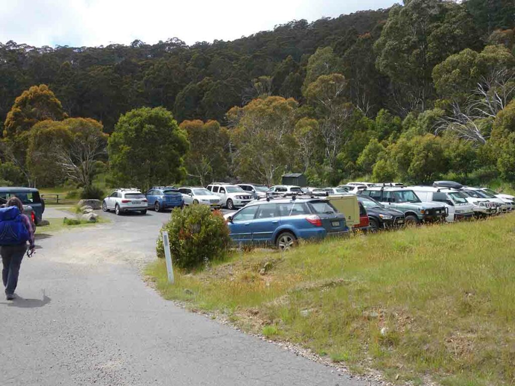
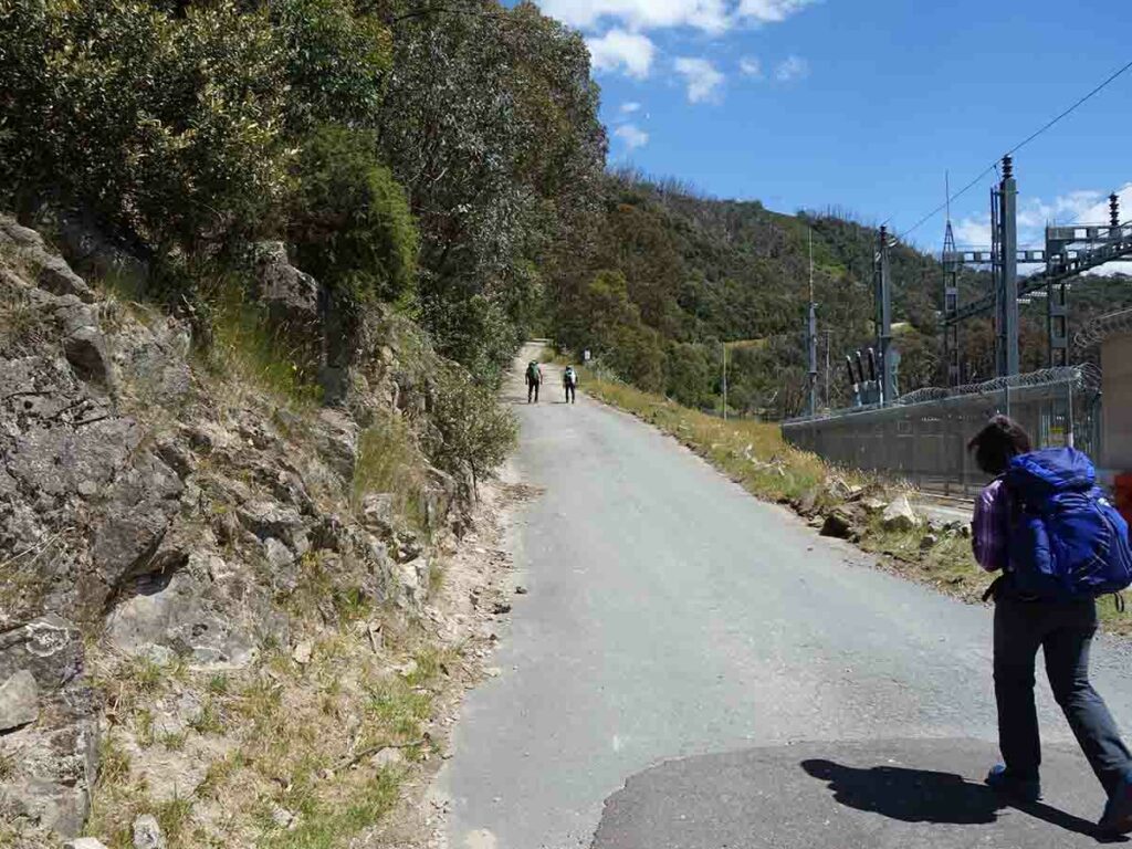
The Horse Camp Hut walk starts at the Guthega Power Station visitor car park. The car park accommodates around 20 cars in designated parking spaces although on the day we were there, three cars had been parked creatively on the grassy areas near the entry to the car park and others were parked along the road.
We visited just after Christmas at around 11:00 am and managed to snag the last parking space. The following day when we returned form the walk it was even busier. Keep in mind that with so many people doing overnight camping during the warmer months, it’s worthwhile getting there early otherwise you will need to park on the edge of the entry road.
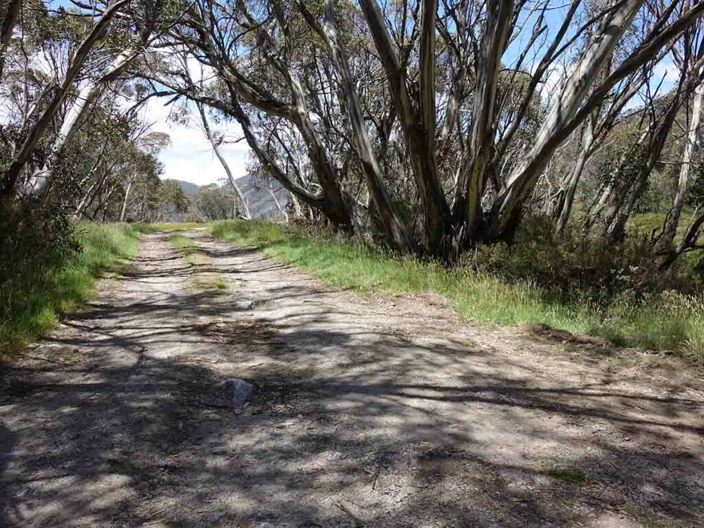
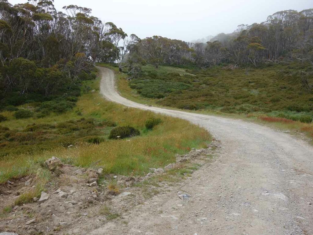
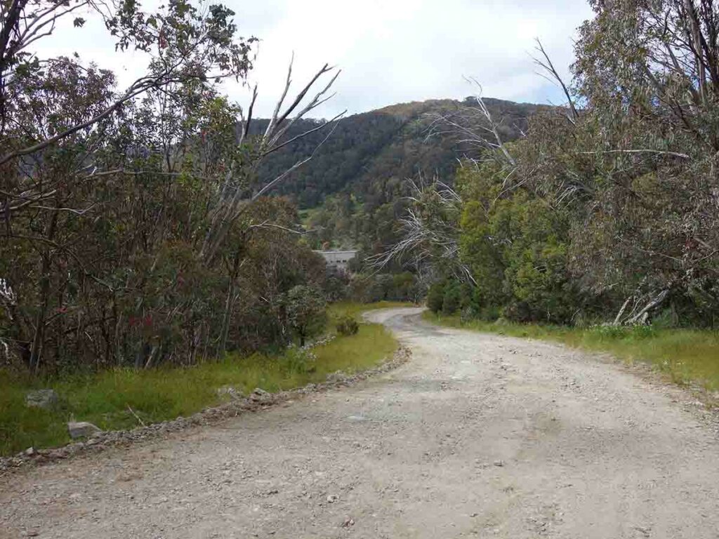
Start the walk by heading across the bridge and around the back of the power station – you will see an access road heading up the hill. This road, Schlink Trail, is your companion all the way to Schlink Hut.
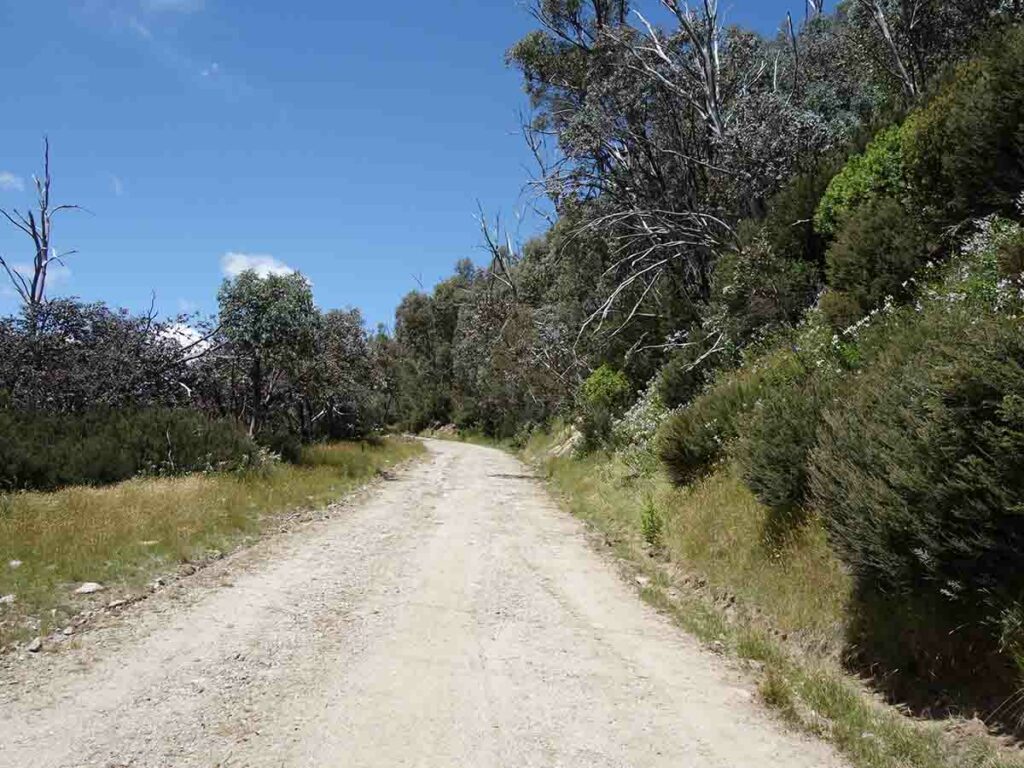
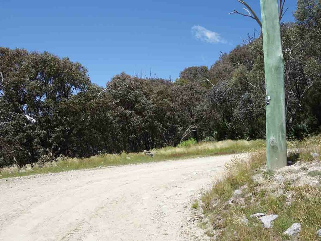
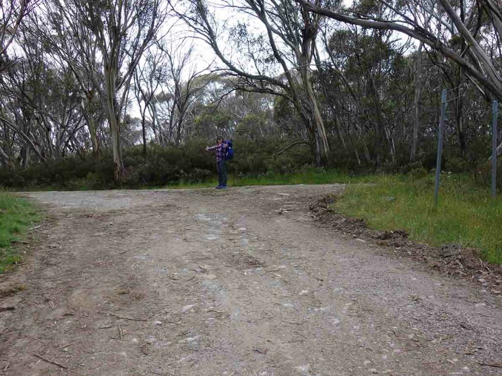
The first couple of kilometres up the hill is the most difficult part of this walk – it is steep but with a steady grade. Following this road is pretty easy but the only area of doubt is when it starts to flatten out and you come across a Y branch; at this point veer towards the right. From here you have a trail that is undulating up and downhill.
Your destination is the Horse Camp Hut about 3.9km in from the start of the walk. The first indication you are approaching this hut is that you will cross a concrete causeway and approximately 500 metres further on, you will come to a road on the left and a sign that indicates Horse Camp Hut is 400 metres away.
This is one of the best maintained huts in the alps. It’s a very attractive hut with well mown grassy areas that are reasonably flat with lots of options for camping. Just remember that the alpine huts are for emergency use only so don’t plan on sleeping in them unless absolutely necessary.
Usually the park services like you to camp well away from the huts but they also don’t like you bushbashing to set up a tent site. At this hut you are camping within about 50 metres of the hut but there are plenty of flat grassy spaces to choose from. There is a composting toilet at this site which has a two part door so if you really feel like it you can sit and do your business with the top part of the door open. Just remember to bring your own toilet paper as there isn’t any provided.
If you are just doing this trip as a single day walk spend some time looking around this lovely hut before returning back to the main trail. To return to the car park turn right and return the way that you came. Alternatively this area also makes for a great camping site either as part of the larger Schlink Hut Walk or as a standalone option.
Be aware that there is a potential for snow in just about any month of the year in the high areas of the Australian Alps. While it typically doesn’t sit on the ground for long during the hotter months, the temperatures can drop below freezing. If you are camping come prepared for cold temperatures at night and potentially hot temperature during the day.
Animal life was reasonably limited but we did see lots of birdlife, the occasional wallaby as well as good insect life. On the downside, the March Flies are active during the warmer months in the alps so while it’s tempting to wear shorts and short sleeves, its best not to.
For the average hiker looking at doing this walk, late November through to the end of March is the ideal time. People will also ski/snowshoe out to this hut Hut in the snow season but the track is not well marked and should only be done in snow conditions by those with good experience in back country wintertime travel.
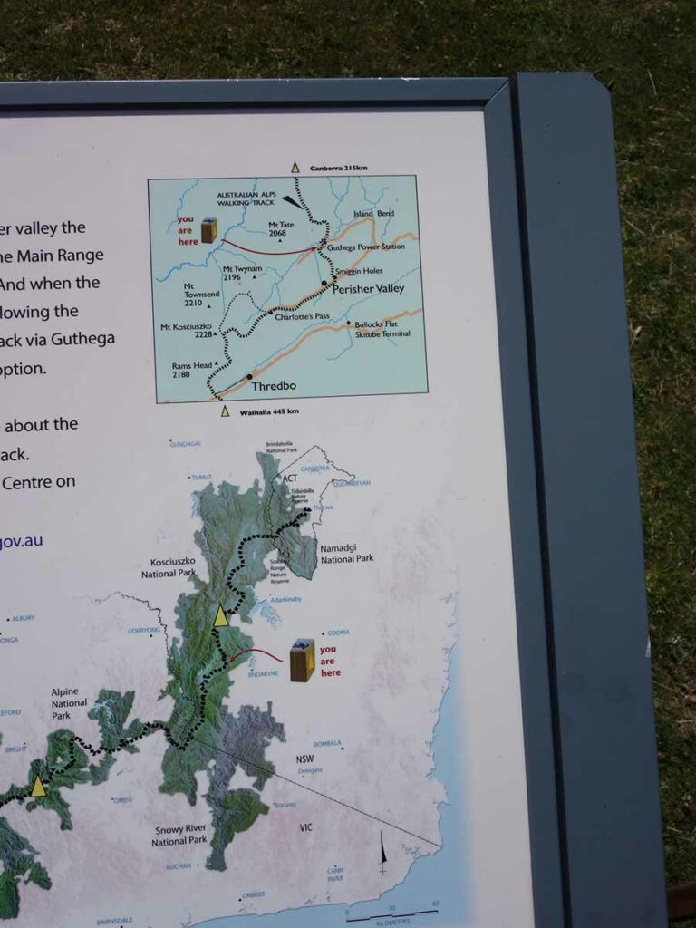
Just some of the trail signage at the trailhead car park
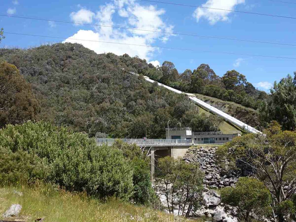
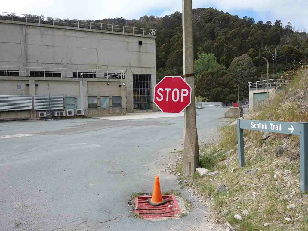
Guthega Power Station
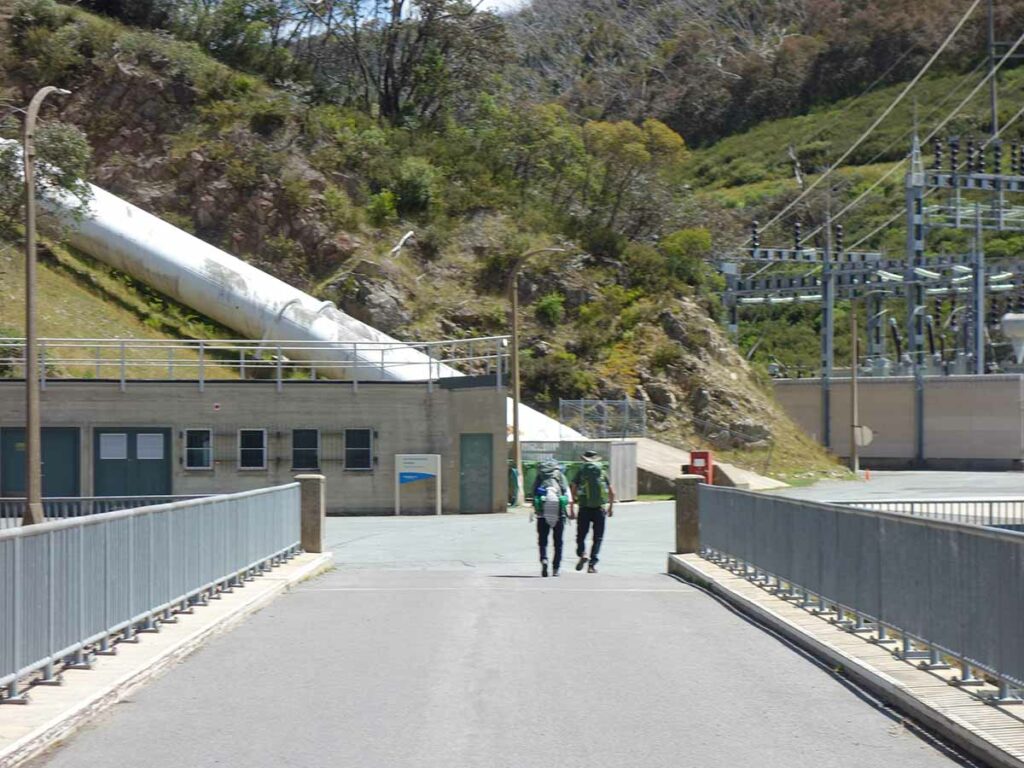
Crossing the river to the power station
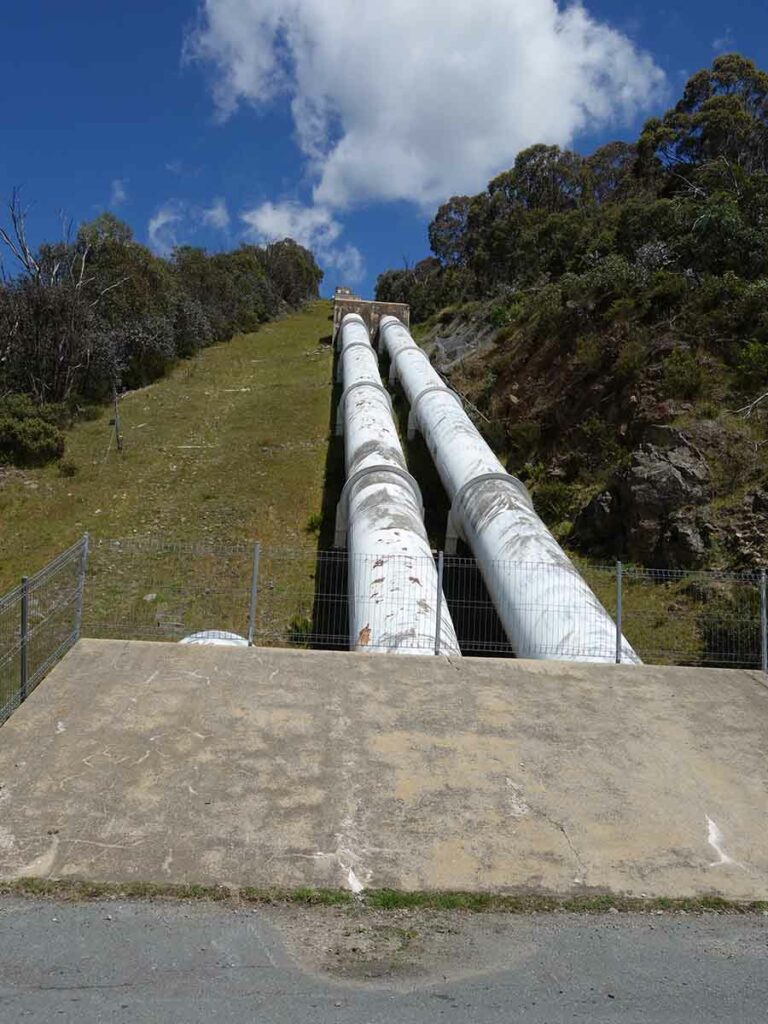
Dam piping heading up the hill

Trail sign at the start of the trail
Heading uphill at the walk start
Trail example going up the hill
Switchback on the initial uphill ascent
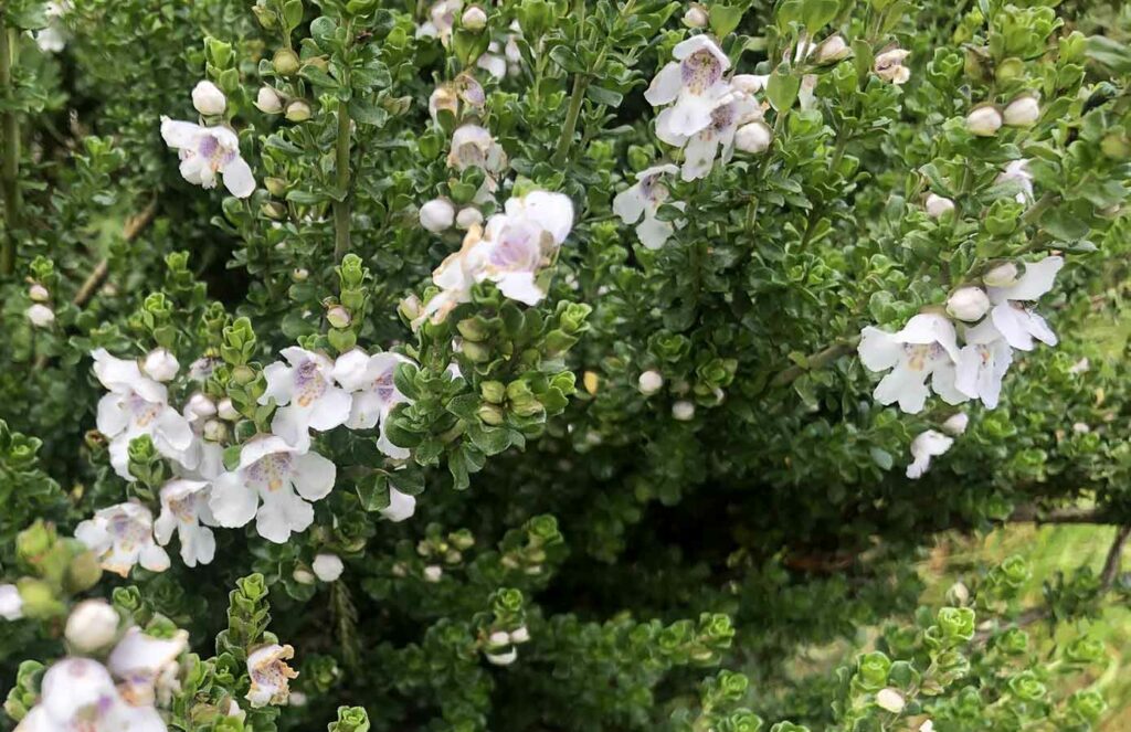
Native flowers
Trail example
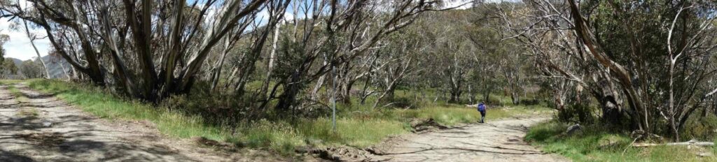
Just as you reach the top of the hill you come across a Y intersection – veer right at this stage
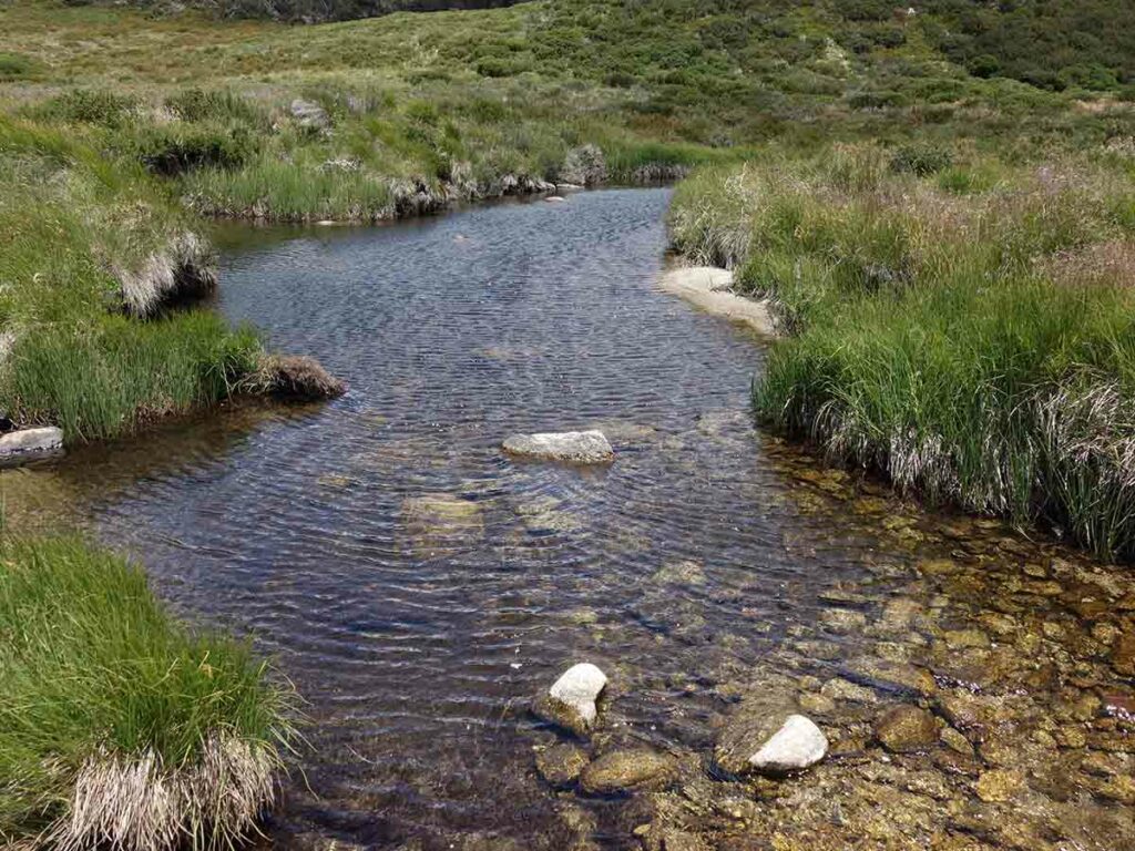
Waterway before Horse Camp Hut. This crossing is about 500 metres before the hut turn off

Turnoff to Horse Camp Hut

Horse Camp hut turnoff sign
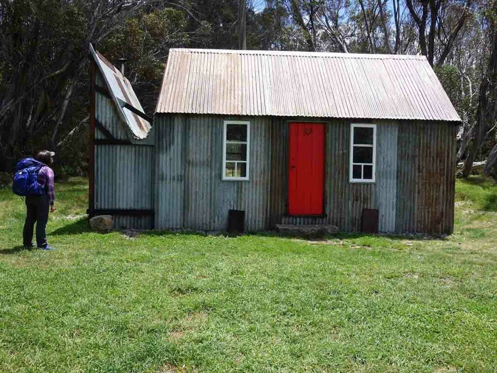
Horse Camp Hut front view
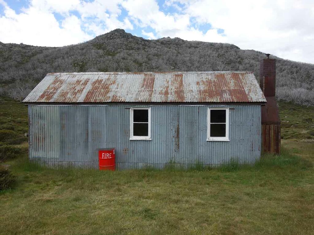
Horse Camp Hut chimney end
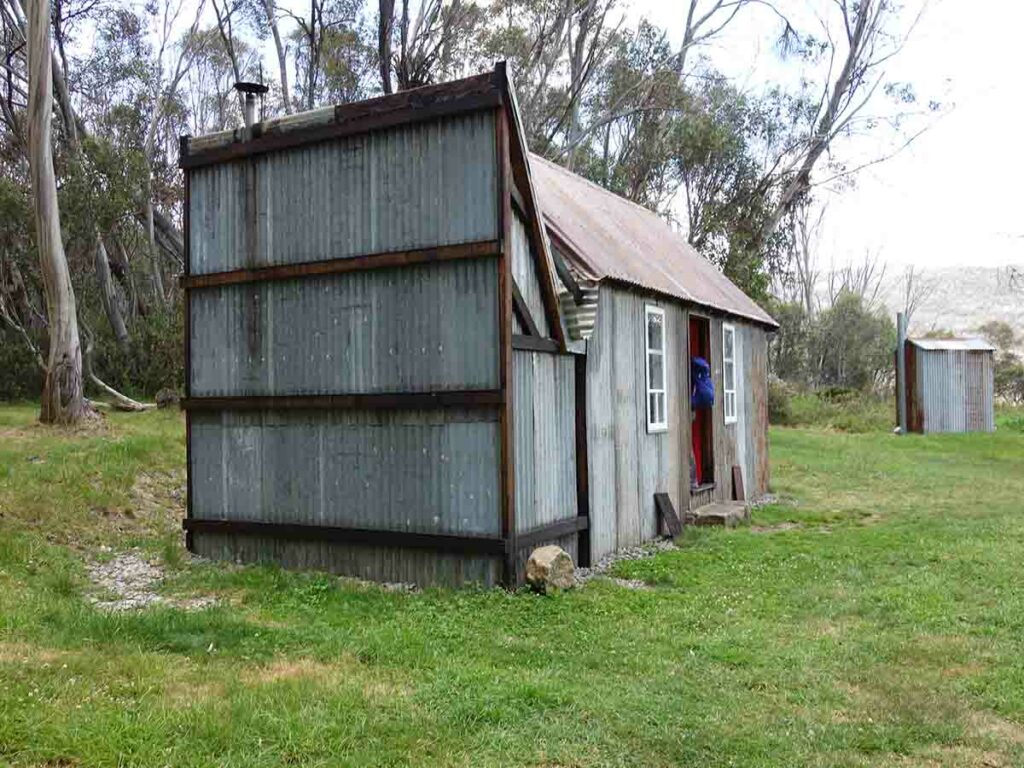
Horse Camp Hut back
Horse Camp Hut non chimney side
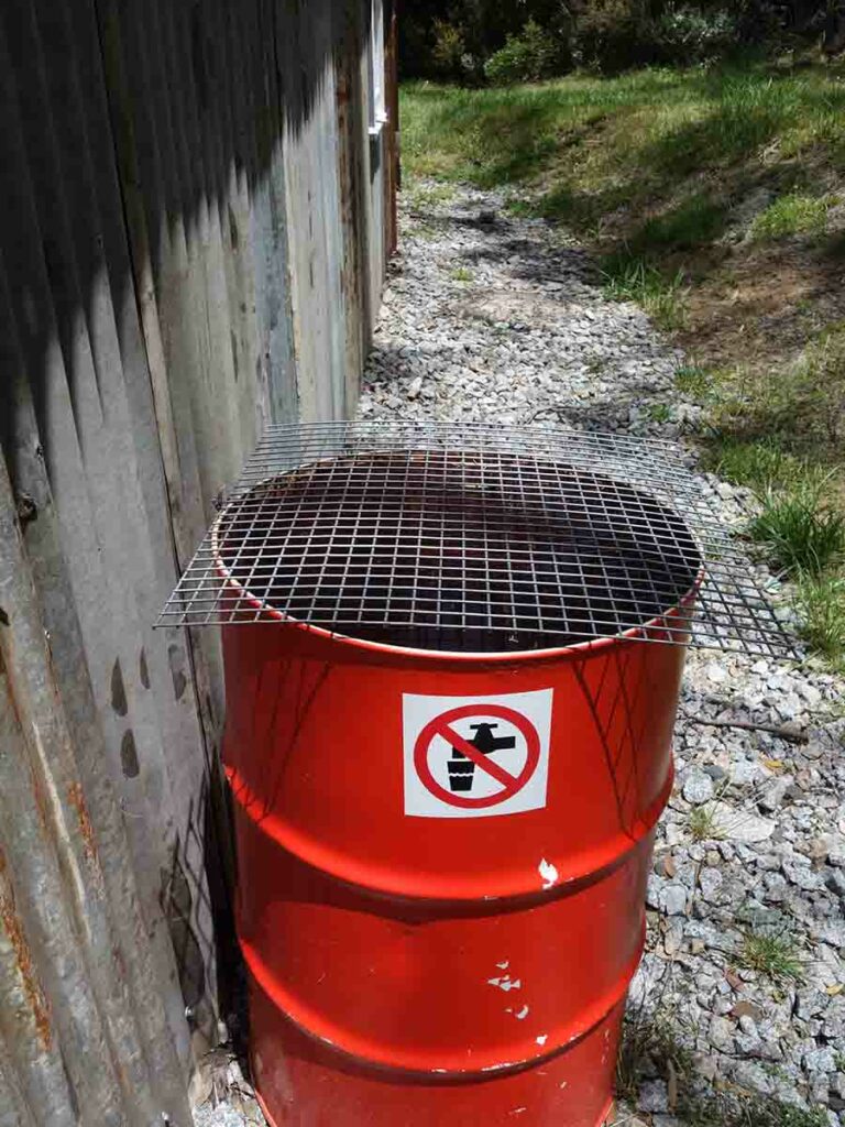
Water drum at each hut
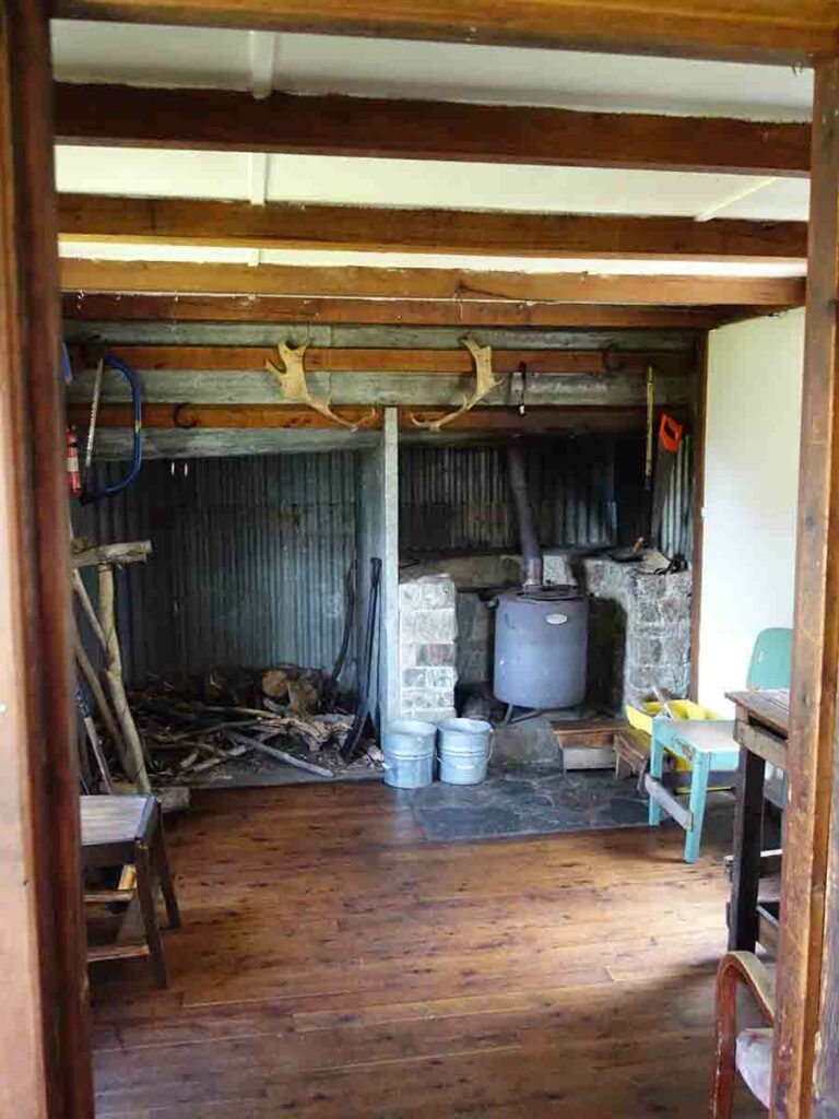
Inside Horse Camp Hut
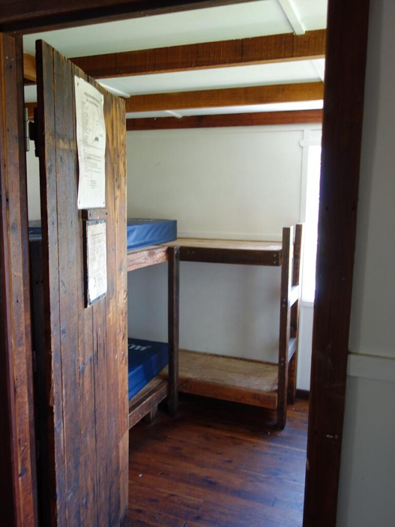
Another view inside Horse Camp Hut

Heading out onto the main track from Horse Camp Hut – turn right to return to the car park
Back up the last small hill
Veer left to head down hill
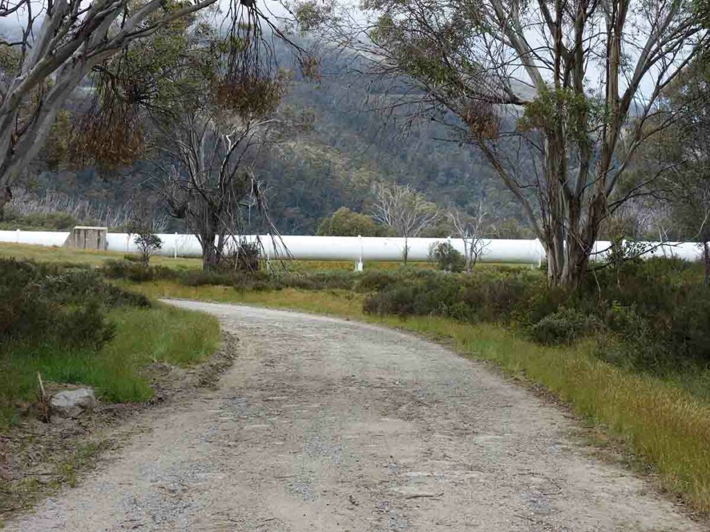
Dam pipe on the way back
Heading back towards the power station
Returning to the power station
Returning to the trailhead
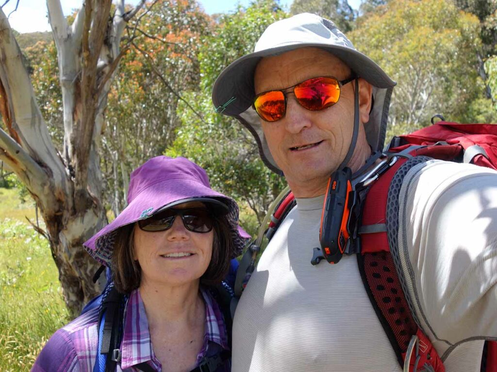
Gill and Tim from Australian Hiker at the Guthega trailhead
Walk Video
This video includes a slideshow from start to finish of this walk that includes still and video images to give you a real time idea of what the walk is like
Getting There
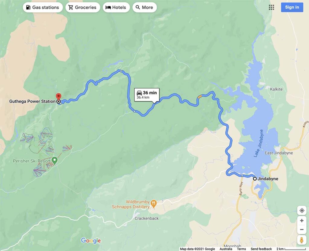
Travel to Jindabyne via Cooma and head towards Charlotte Pass. Turn off to the right when you see the road to Guthega. There is a park entry fee which you can pay for as a day or annual pass at the visitor centre in Jindabyne or at the toll gates on nearing the park. The visitor centre in Jindabyne opens at 8:30am most days but check the timings on the website just in case.
Follow Kosciuszko Road and turn right on to Guthega Road. Keep an eye out for the Guthega Power Station turn off just past ‘Island Bend’.
Entering Kosciuszko National Park
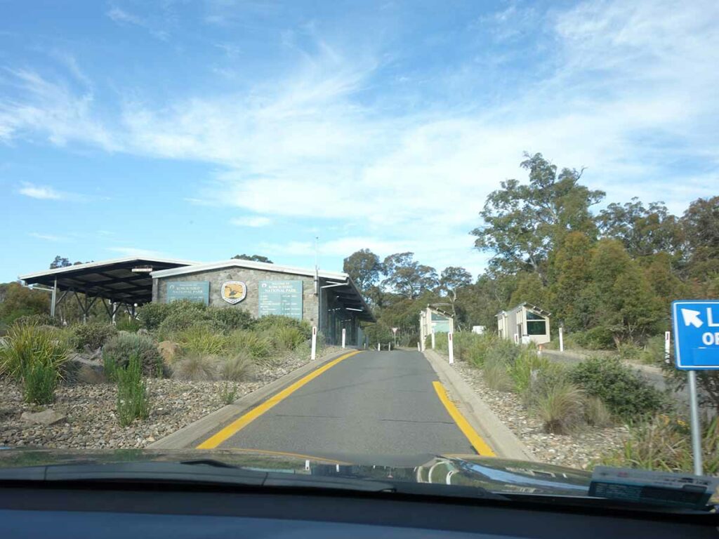
Park entry point

Turn off to Guthega – the sign is on the left pointing right not far from Sponners Lodge
Visitor car park at the Guthega Power Station
Things to Know
- This walk is on management road
- The March Flies can be ruthless from about mid November-mid March so wear long sleeves and long pants – they don’t care about insect repellent!
- No dogs allowed
- Phone: There is minimal phone signal on this track (Telstra)
- Water: There are plenty of natural water sources along this track but you should filter water
- Toilets: There are toilets at each of the huts as well as at the trail head. Bring your own paper just in case
- Trail: This main walk is on management road.
- Dogs: Dogs NOT allowed
- Camping: Camping allowed
- Camping inside the huts are for emergency purposes only, not for planned sleeping so bring a tent
- Other:
- Wear long sleeves and pants to help fight of March flies in the hotter months of the year
Disclaimer
This walk was undertaken by the team from Australian Hiker