Bhutan High Trails via Laya (177 km)
Bhutan
Starting Location
Paro, Bhutan
Finish Location
Paro, Bhutan
Best time to travel
September
Things the Guide Books don't tell you
- The defining element on this trek is the altitude with the average altitude being 3796 metres (12,455 feet) and the maximum being 5,048 metres (16,560 feet). It’s for this reason that it is considered challenging
- It’s not unusual to start the hike in the morning with a solid 500-1000 metre (164—3280feet) climb. It’s also not unusual to finish the day in the same way
About
I have many fond memories of trekking through Bhutan and years later I continue to tell my travel stories to anyone who will listen. The Bhutanese people are genuine and welcoming, the culture is respectful and colourful, and the scenery is extraordinary.
Bhutan is located in the eastern Himalayas, and bordered by China to the north and to the east, west and south by India. Bhutan is perhaps most famous for the introduction in the 1970s of Gross National Happiness as a way of measuring the nation’s progress. Gross National Happiness has four pillars:
- Equitable and equal socio-economic development
- Preservation and promotion of cultural and spiritual heritage
- Conservation of environment
- Good governance which are interwoven, complementary, and consistent.
When you travel through Bhutan you see these pillars in action from the modern healthcare available to all, the comprehensive school and university education, and the protection of the environment. The Bhutanese constitution guarantees freedom of religion and citizens and visitors are free to practice any form of worship so long as it does not impinge on the rights of others. The predominate religion is Buddhism however Christianity, Hinduism and Islam are also practiced.
We had been thinking of trekking in Nepal for some years and chose Bhutan because we wanted a better quality experience that was less commercial and with fewer travellers. Bhutan prides itself in not having made the same errors as developing nations dependent on tourism. And I have to agree they seem to have gotten it right!
We had arranged to do the World Expeditions’ Bhutan High Trails via Laya. All up it was an 18-day tour commencing and finishing in Paro with some amazing country and culture in between. We were in the company of seven travellers from Australia and New Zealand whom we met at Paro airport and in the expert hands of Chundu, our tour guide.
Our first adventure was flying into Paro Airport. It is famously on the list of the world’s most dangerous airstrips. I definitely believe that – it is not for the feint hearted or those who have a fear of flying. The views of the Himalayas as we approached Paro were fantastic and then with some very expert skill of the flight crew, we find ourselves banking right and left and right to navigate our way among the mountains and safely onto the airstrip.
The highlights were too many to mention so here are just a few.
Winding our way up to Taktshang Goemba (Tiger’s Nest Monastery) was simply beautiful. Hard work but worth it. I should say that ‘hard work but worth it’ pretty much sums up the entire experience in Bhutan!
Taktshang Goemba is one of the iconic images of Bhutan so of course everyone has to visit – including those who are perhaps not as fit as needed. Those travellers (not hikers of course) often opted for the horse ride up and the walk down.
After a few days’ hike and we arrived at Jangothang with Mt Jhomolhari in the background. We were even able to pitch our tent so that we had a view of Mt Jhomolhari at sunrise. We had a couple of interesting experiences at Jangothang. This is the point on the trail where the horses carrying our gear pass the task to the yaks. Only problem was that the yaks decided to go home in the middle of the night and the yak herder had to go in search for them, take them back to our campsite, collect our gear and head to the same place he found the yaks earlier that morning!
The second experience at Jangothang was when some locals invited us into their home. We learned that the yak herders’ homes tended to have three rooms. One for cooking, eating and sleeping. One for storing food over the winter. And a temple for praying. It definitely challenges the western world’s fixation with building McMansions!
Our highest pass was at Shinge La and at 5048 metres, challenged us physically. Having said that we found enough energy to put our prayer flags in a higher place at 5,100m. Prayer flags are a common theme across the high trail in Bhutan. And of course, the tourists love them. Tim being as competitive as he is, decided to head up the slope another 100 metres with another group member to get the prayer flags as high as possible.
The next memorable experience was the beauty and diversity of the natural environment. Bhutan has committed to maintaining at least 60% of its forest cover. Today, approximately 72% of the total land area of Bhutan is under forest cover and around 60% of the land area falls under protected areas comprising of ten national parks and sanctuaries. We took over 1200 photos – really – of mountains, forests, wild rivers, open plains, glaciers, plants and flowers. All with the fantastic Himalayas as the back drop.
There are solar panels on most yak herder homes in Bhutan. Interestingly, the panels are not for heating water, lighting or heating their homes. They are used to charge the mobile phones. We even chatted with the young wife of a yak herder who was camped under a blue tarp making yak cheese in a huge metal pot. She was going to be there for a few months and her only modern conveniences were her mobile phone and a portable solar charger for her phone. And the phone coverage along the trail and high passes was fantastic. We couldn’t believe how good it was. And we had turned off our mobile phones and left them in the drawer at home. I should say we are still happy we did that but our original reason was that we didn’t think the phones would work.
In Laya we had the honour of being invited into the home of a grain thresher. Again there were solar panels but not for lighting, heating or cooking but to charge the portable devices. Their young daughter was watching a Disney movie on her portable PlayStation while standing in the light of an open wooden shutter. A great balance between a traditional lifestyle and all the mod cons!
Bhutan is a must do hiking experience. And if our list of new adventures ever gets to a manageable size, we would love to return and experience more of the generous hospitality and rich culture of the Bhutanese people.
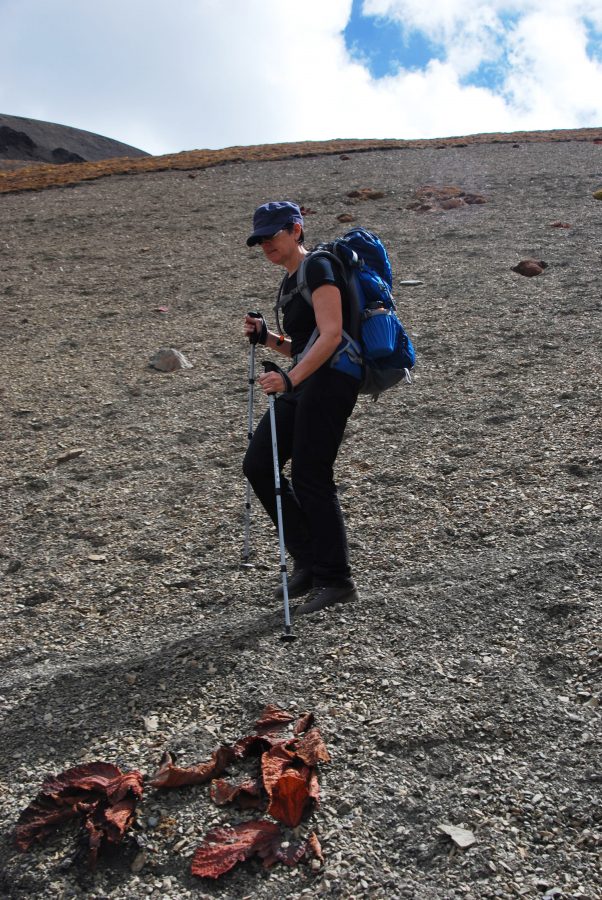
700 metres of scree slope
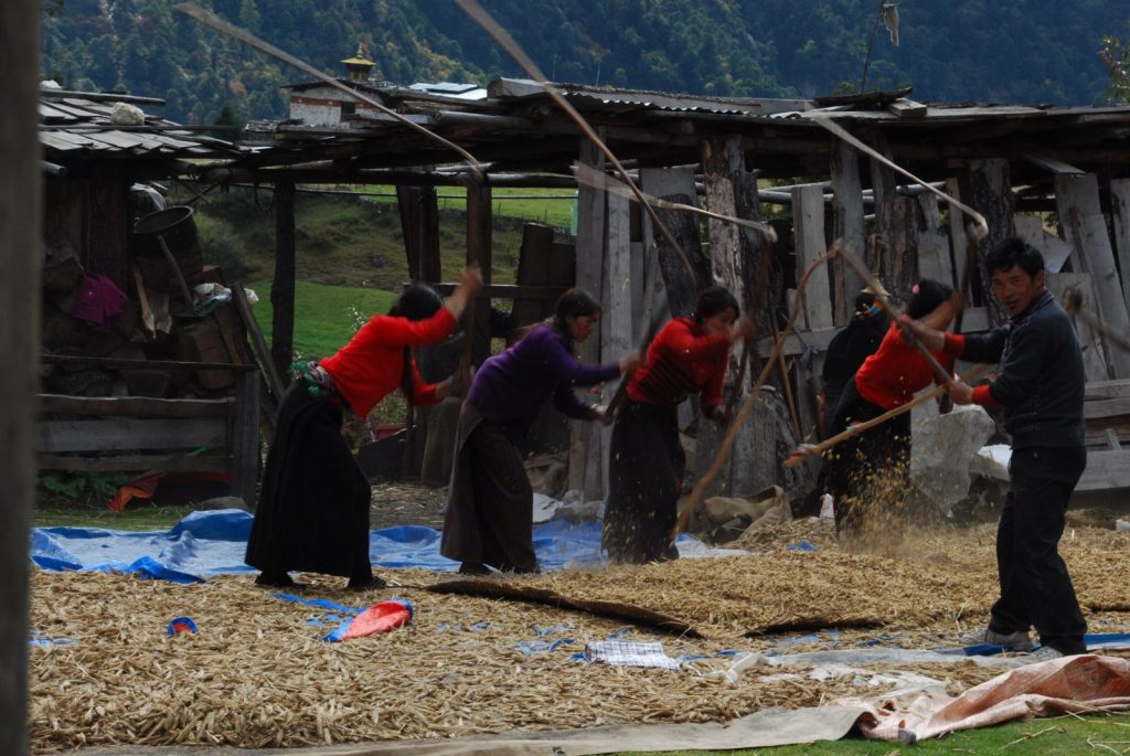
Threshing grain
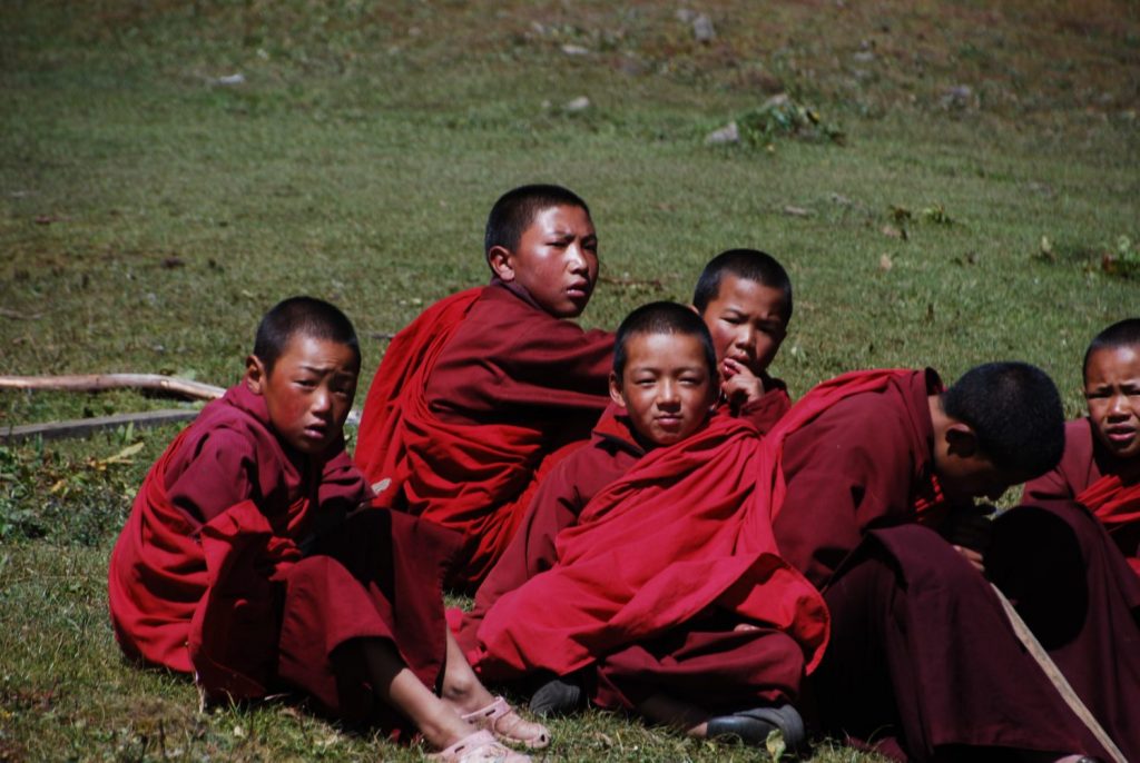
Student monks
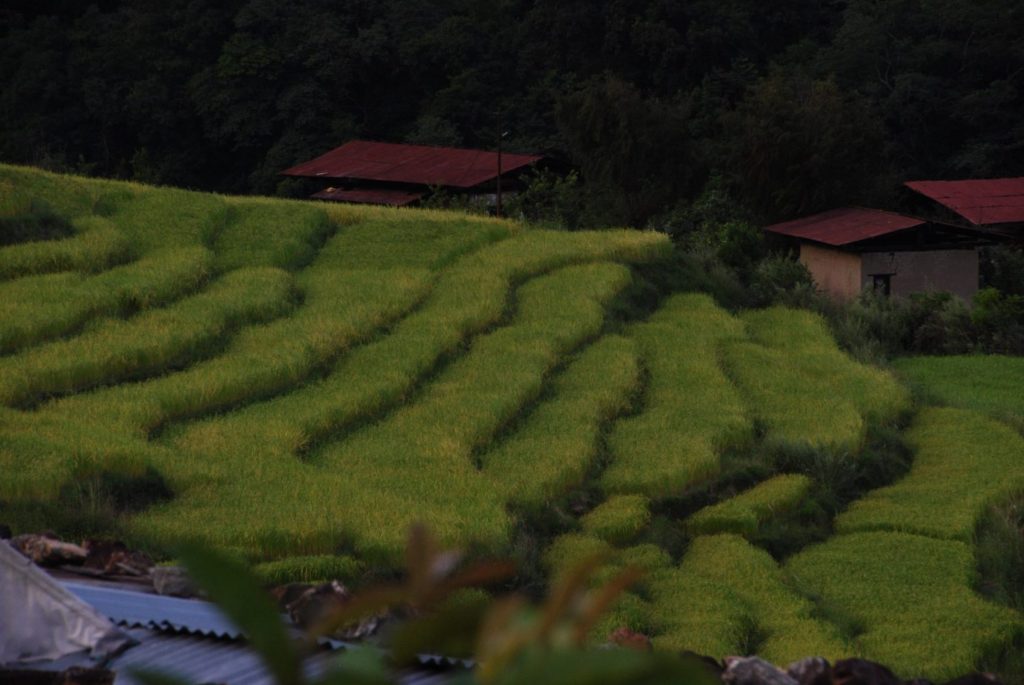
Rice terraces
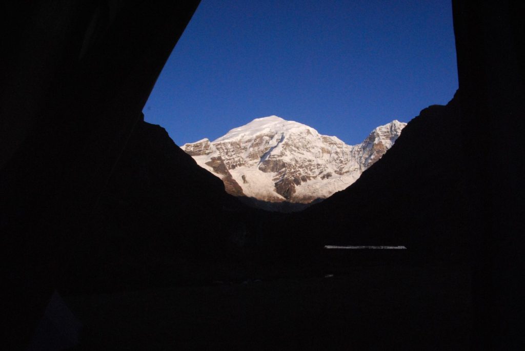
Morning view from our tent
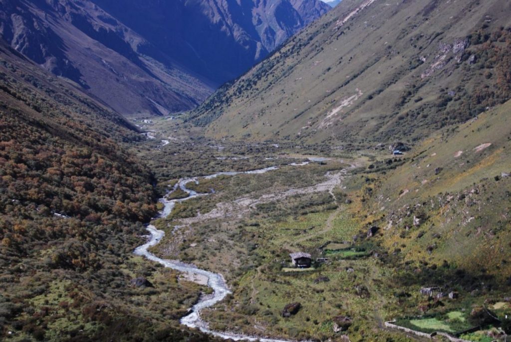
1000 metre climb from the base of the valley to start the morning
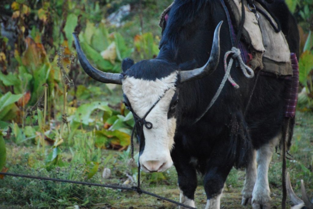
Baggage transport
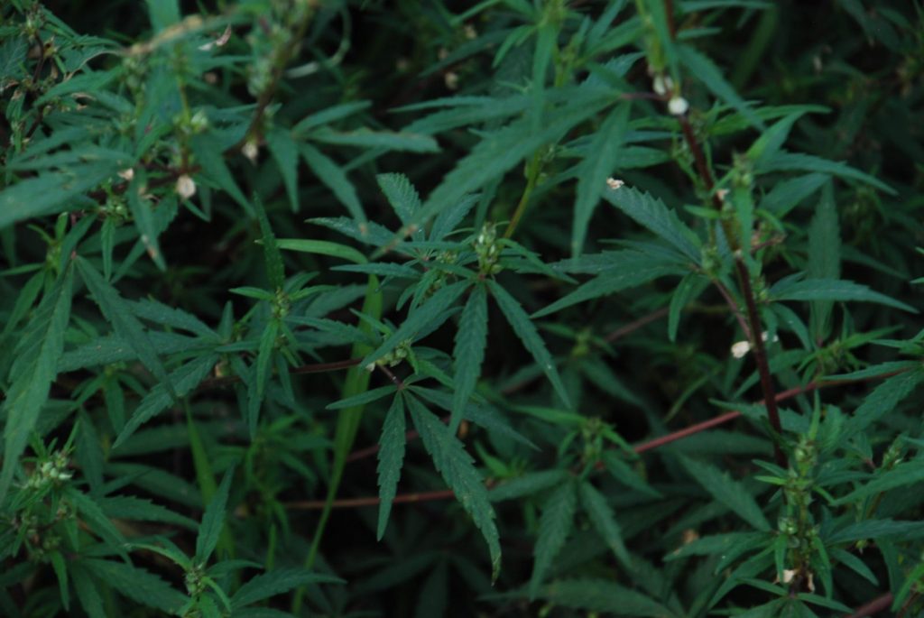
The local “weed”
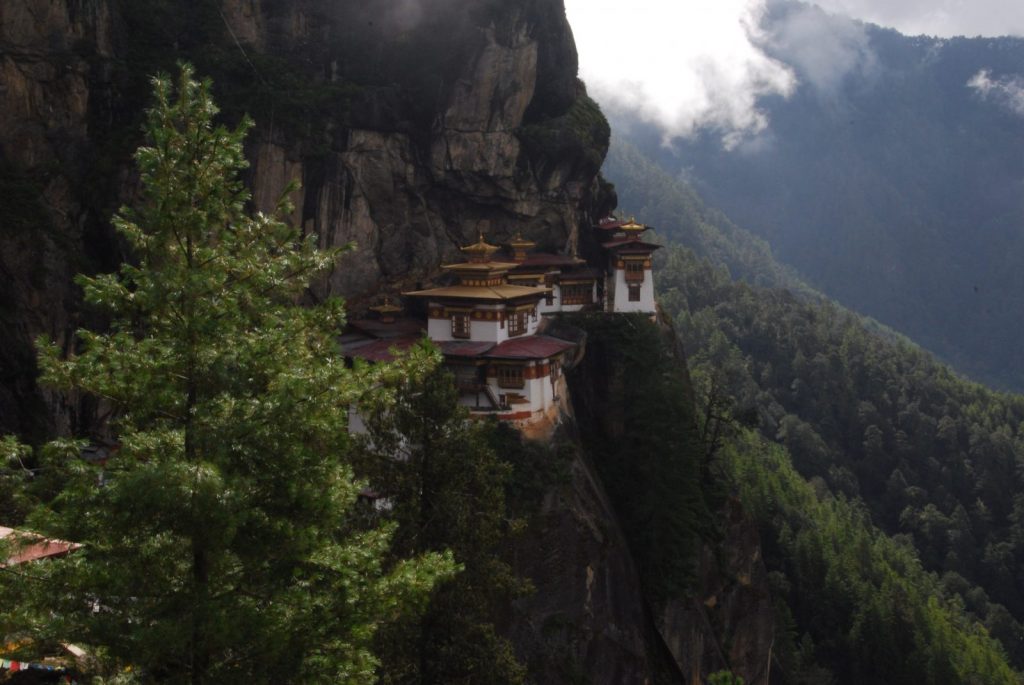
Tigers Nest Monastery