PeakFinder App
App
Peak Finder App
This app does what its name says and identifies over 950,000 mountain and hills worldwide. Most of us will be able to identify the main mountains and hills in our local area but often we struggle to identify the secondary peaks. In addition when we travel to a new area we tend to be travelling blind; enter the PeakFinder app. I have been really surprised at the hills that this app identifies in my local area, picking up not just the well known local hills but a number of lesser known ones that I didn’t even know existed.
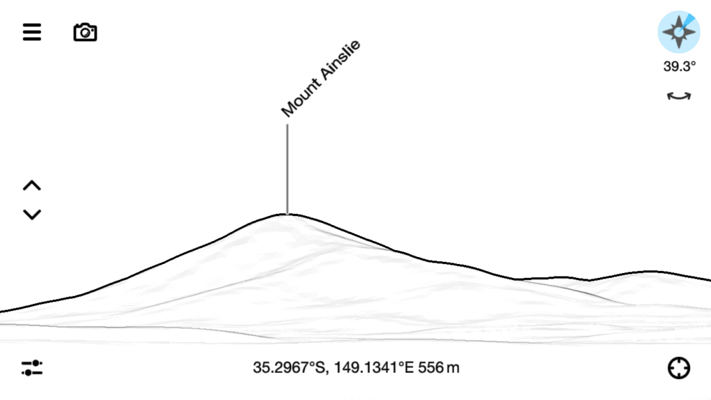
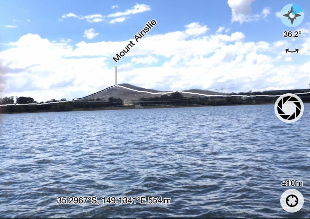
The level of detail you see is up to you and if all you want is the peak name as a sketch image then thats the default. You can also link this app through the phones camera and view the local peaks. If you want to take the detail a step further many of the hills and peaks have additional information available.
This app works without phone signal and relies on your cameras GPS to locate your position. You will find that you will occasionally need to calibrate your phones compass from time to time to ensure that what you are seeing is located in the correct position but this is a minor issue that doesn’t detract from the app itself. You can also manually move the hills over the camera image one you have an indication of where you are.
PeakFinder is available for both Android and Apple phones and while not free, costing AUD $7.99 but is well worth the investment. The app can be downloaded from:
Buy One
You can purchase the Peak finder App from Itunes or from Google Play
Please note that our affiliations do not influence, in any way, the independence of our reviews. If we don’t like a product, you’ll hear about it from us!

PeakFinder outline view. Note the coordinate details at the bottom of the image

PeakFinder overlayed with camera image showing the name of the peak exactly how you are seeing it

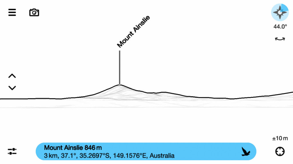
By clicking on the peak name you bring up extra detail (most of the time). This image shows Mount Ainslie being 3km away, as the crow flies, as well as the summit height, and country