Mt Bimberi Walk ACT (53 km)
Bimberi Wilderness
Starting Location
Orroral Valley Tracking Station (former) carpark
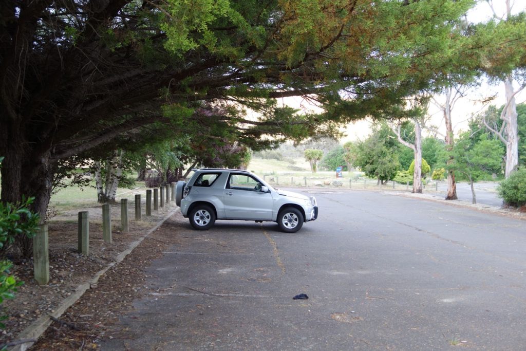
Carpark at Orroral Tracking Station
Finish Location
Orroral Valley Tracking Station (former) carpark
Best Time to Travel
October and March
While this trail is walkable year round it can however be prone to snow at the high altitudes from between May and September so come prepared. The heat can be oppressive between November and February so if you are walking during the summer months it is best to start early and take breaks during the middle of the day to avoid the heat
Mt Bimberi Walk Summary
The walk to Mt Bimberi, the highest peak in the Australian Capital Territory (ACT) is a long and difficult one that forms part of the Australian Alps Walking Trek (AAWT). The thing I really like about this hike is that it is about as remote as it gets – I have done this trail and not seen any other walkers. This is probably the ultimate multi-day hike in the Canberra region.
This trail is usually considered a three day hike for the average walker but can be done in one or two days if you have a high level of fitness. The walk starts at the site of the decommissioned Orroral Valley Space Tracking Station and the facilities provide a great day picnic or overnight camp in its own right with a decent toilet block, picnic tables and gas BBQs.
Day one
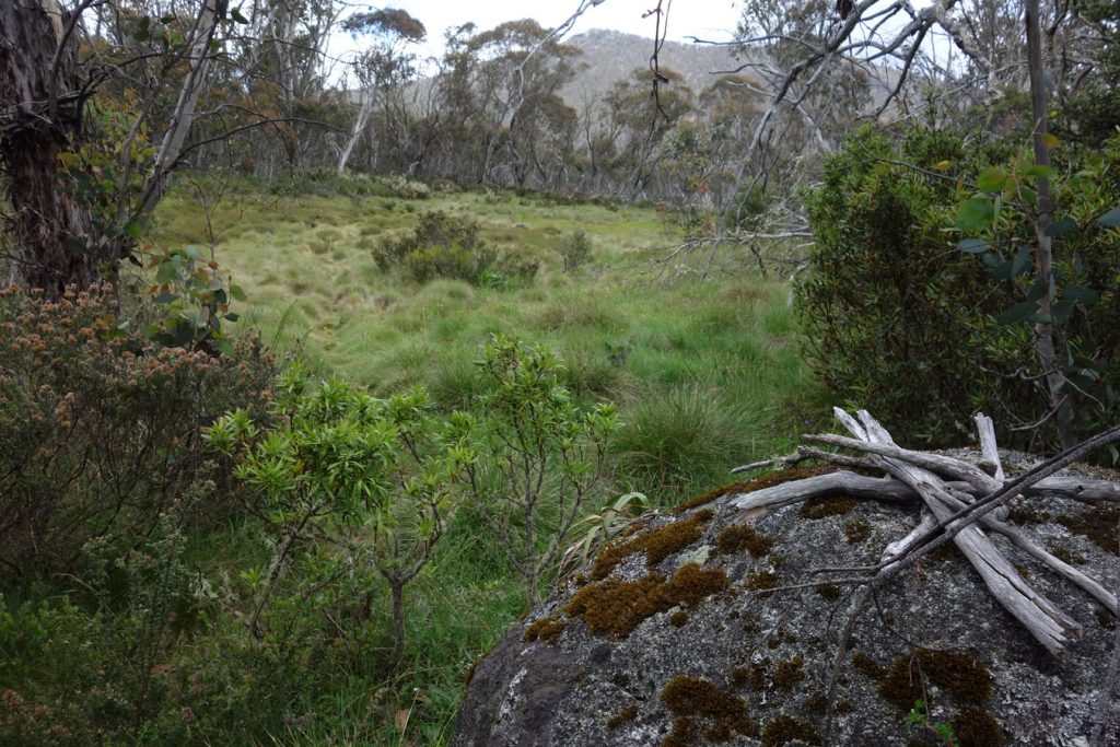
The trail starts off with a 5.84 km walk along one of the fire trails before turning off the road onto the AAWT proper. The turnoff point is easy to miss so start paying attention at about the 5 km mark and look to the left side of the road (there is a photo of the turnoff point below). Once you turn onto the side trail, the track is undulating for about 1 km before a steep incline towards the top of the hill at Cotter Gap. Camping is possible in this area although not recommended. From Cotter Gap the trail is undulating but mainly downward and in relatively good condition although tree falls on this trail are common so you will usually have to climb over/under or around logs of various sizes. The trail continues downwards to Cotter Flat at approximately the 15 km mark. Cotter Flat is the best camping area on the trail with flat grassy ground kept short by the large local Kangaroo population. I highly recommend Cotter Flat as the place to pitch the tent. If you are doing this trip as a two or three day walk then you can drop your main pack off here and hike to the summit of Mt Bimberi with a much lighter day pack as the hills get very steep from here on in.
Day two
The walk from Cotter Flat to Mt Bimberi is where this trail really starts to get hard. From Cotter Flat to the top of Mt Bimberi it is approximately 12.5 km. There are two steep inclines on this section of the trail. The first is a fire trail that has a small section with a gradient of 1:4 or similar (I’m not joking) before flattening out for about 1.5 km prior to Murrays Gap. Murrays Gap is suggested as a camp site however I would avoid it unless you didn’t have a choice for a number of reasons:
- It contains a swamp and with it a very healthy population of snakes
- Its a wind tunnel at anytime of the year so you will be much colder camping here that at Cotter Flat. You are also more likely to have snow in winter due to the altitude
- There are limited flat camping areas
The second steep ascent is not as steep as the one up to Murrays Gap however the trail from the Gap up to the summit of Mt Bimberi is overgrown, has a lot of loose rock, as well as a high number of tree falls over the trail. As a result, this final ascent to the summit will be the slowest of the whole trip. There are literally dozens of little rock cairns and in one case a pile of sticks (see photo below) marking the way to the summit. Pay very close attention when you have to go around fallen trees as you can very easily loose the trail. While a map and compass is helpful on the rest of the trail it is essential on the walk to the summit if you haven’t done it before. These maps are usually available at the larger camping stores and I would recommend buying them well in advance as they sell quickly.
From the summit you have a 360 degree view of both NSW and the ACT and you can see a number dams. It is without a doubt it is one the best remote summit views in the Canberra region. Walking up to the summit of Mt Bimberi is like walking into an alien landscape and feels more remote than any other part of the walk, which it is. When I walked this trail in December 2016, the day before Christmas I didn’t not see any other walkers. The week between Christmas and New Year is a very popular time for walkers.
The return walk back to Orroral is easier having only one steep section. However the descent starting from Mt Bimberi is slow as the rocks on the trail are loose and footing can be treacherous. From there the walk becomes easier and for most people the end of day two is back to their camp site at Cotter Flat.
Day three
The return trip to Orroral Valley is approximately 4-6 hours for walkers with good fitness. The hill leading up the Cotters Gap is the only serious one of the return trip and is much easier than the trip out. The last 6 km walk along the fire trail back to the tracking station can be a bit monotonous but the road surface is always in good condition.
Last words
This is a very enjoyable three day hike. As mentioned this trip can be done as a (very tough) one or two day hike but requires a very high level of fitness and a pack that doesn’t weight you down. I have done this trek using both hiking boots and trail runners and unless there is snow I would recommend the shoe option any day. If you want a multi-day trail in the Canberra region that is truely remote, then this is the one for you.
Listen to podcast episode 012-Mt Bimberi from the trail which is a series of recordings of my one day return trip to Mt Bomber
Orroral Tracking Station carpark
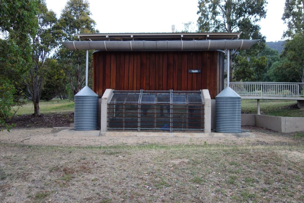
Toilet block. Note the space age design that references the former tracking station
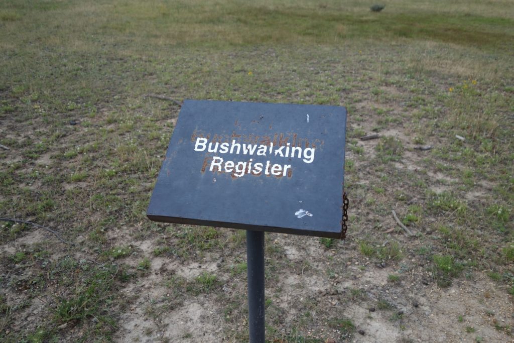
Bushwalking register: remember to sign in and out
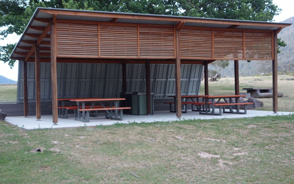
Picnic and BBQ facilities at the carpark
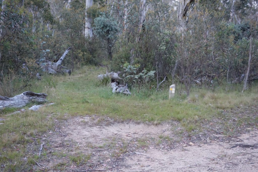
Turnoff point approximately 5.9 km from the trailhead. This marker is easy to miss if you are not paying attention
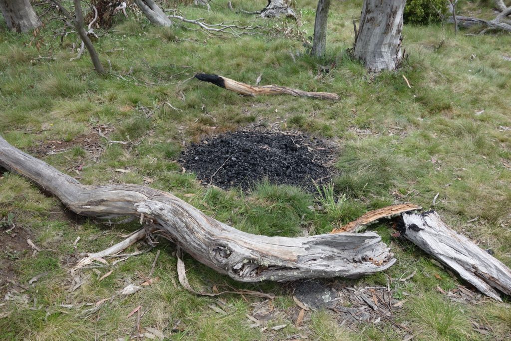
Fires are not allowed in the Bimberi Wilderness because if they get out of control it would damage a wilderness area and would also be very hard to control
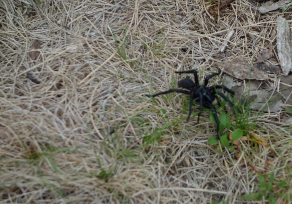
There are species of Funnel Web spiders in this area and it is not unusual for the males to seek out mates so you may see them wandering like I did with this one. Out of habit I always check inside my footwear before putting them on. If camping check the ground to make sure you are not camping on top of a females burrow which is obvious if you know what to look for.
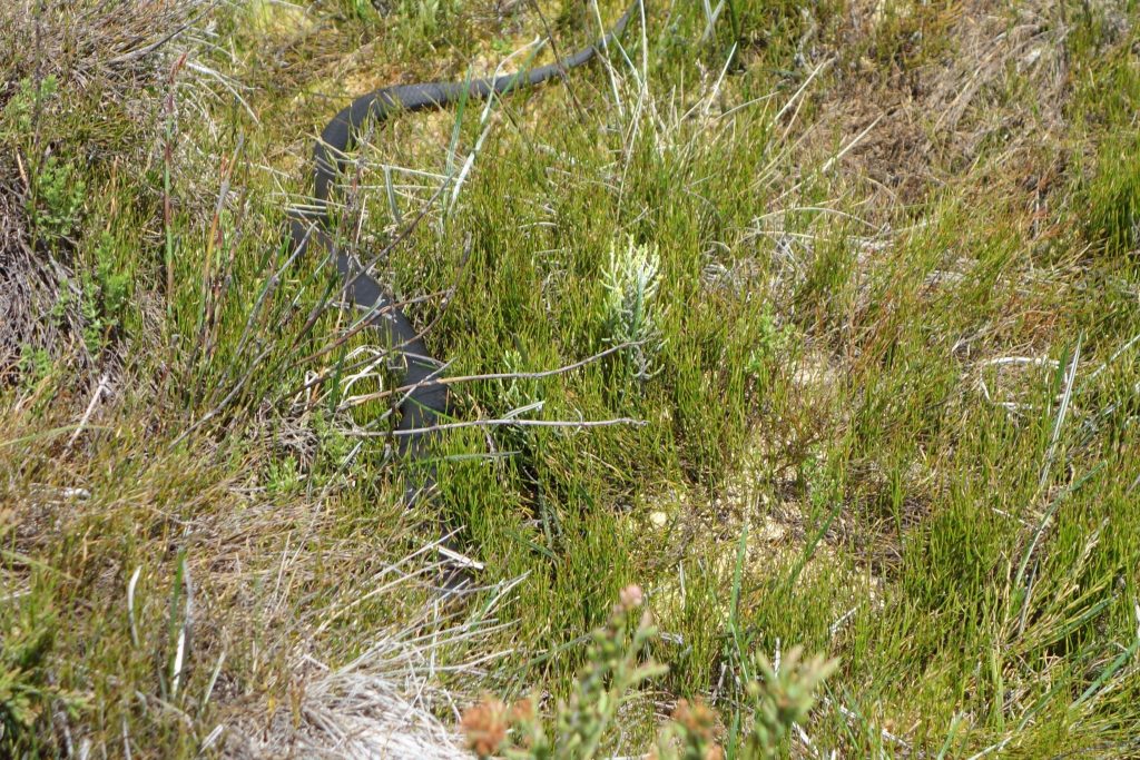
Lots of snakes during wet periods. In December 2016 they were every where at Murrays Gap hunting for food. When startled they go under the grass and you can’t see them, but they are still there. I walked around a bush and almost stood on this one and luckily I was looking where I was putting my feet. I also came upon one in the middle of the trail in a totally different area on my return trip. I stopped to get out my tracking poles and the snake put its head up, saw me and rapidly retreated into the long grass. The ground was so soft that hikers didn’t create much vibration on the ground to warn snakes that we are approaching.
I came back though this area a couple of years later in Autumn and there wasn’t a snake to be seen because all the water had dried up
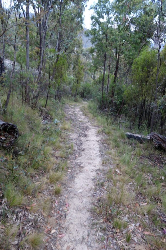
Typical trail example
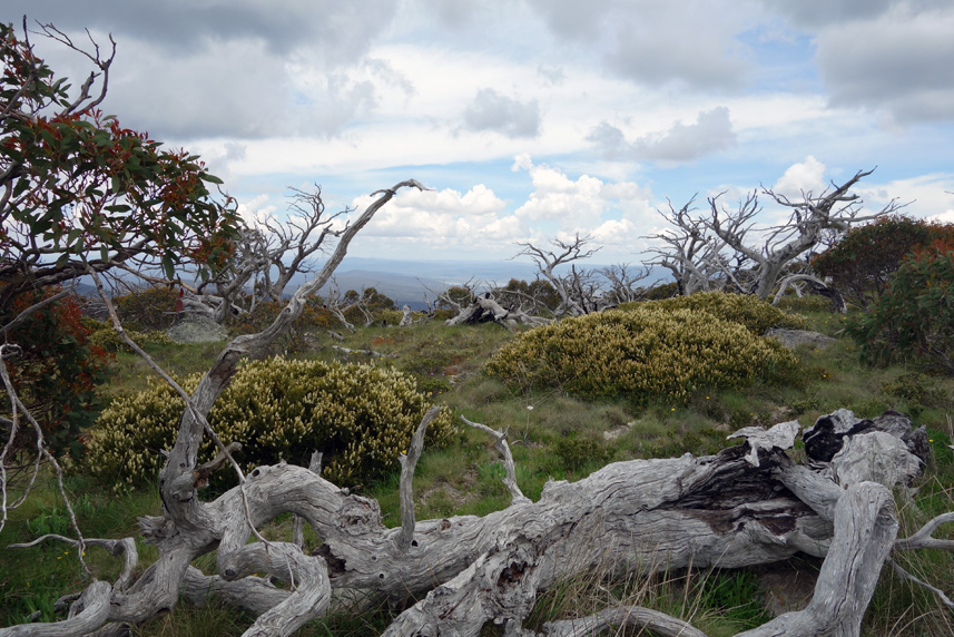
Mount Bimberi ACT. the summit almost has that alien feel to it
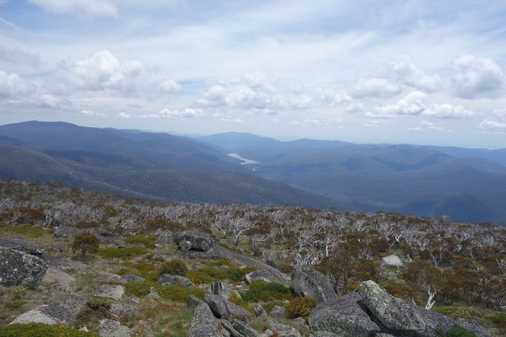
Top of Mt Bimberi
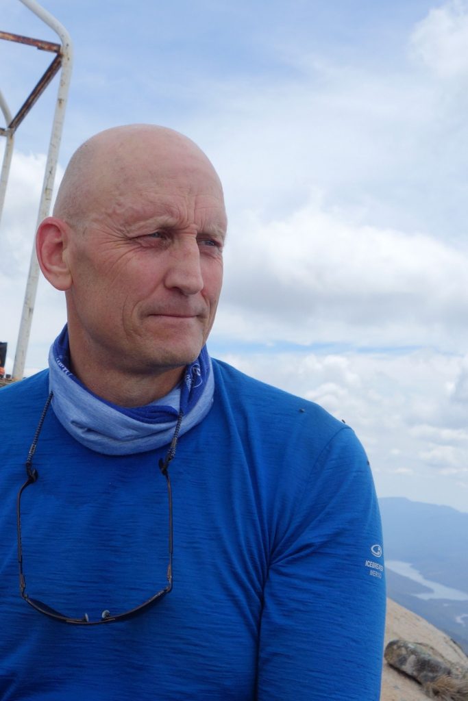
Obligatory selfie at the summit!
A pile of sticks marking the trail
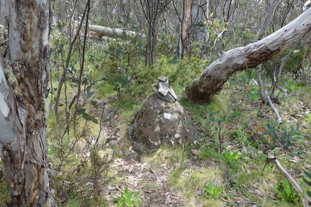
Rock cairns marking the way. They are everywhere going up Mt Bimberi. Pay attention as it is easy to get lost
The camping at Cotter Flat is the best on this trail
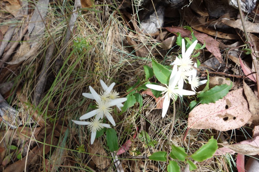
Native Clematis in flower
Disclaimer
This walk was undertaken by the team from Australian Hiker
Getting There
The former Orroral Valley Tracking Station complex provides an excellent carpark from which to base a number of walks in this region. To get to the tracking station drive from Tharwa approximately 30 km from the Tharwa Bridge along the Naas Road to the former Orroral Valley Tracking Station.
From Tharwa travel along Naas Road (this road changes to Boboyan Road) past Apollo Road and turn off onto Orroral Road which is approximately 18 km from Tharwa on the right. Continue on Orroral Road past the campground and the road will finish in the tracking station carpark approximately 10 km from the turnoff. If you are hiking in summer arrive early in the morning to snag one of the few heavily shaded carparks that will keep the car cool for the day.
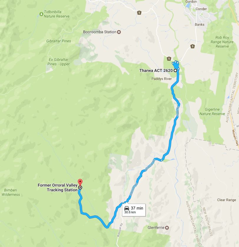
Start point for hike
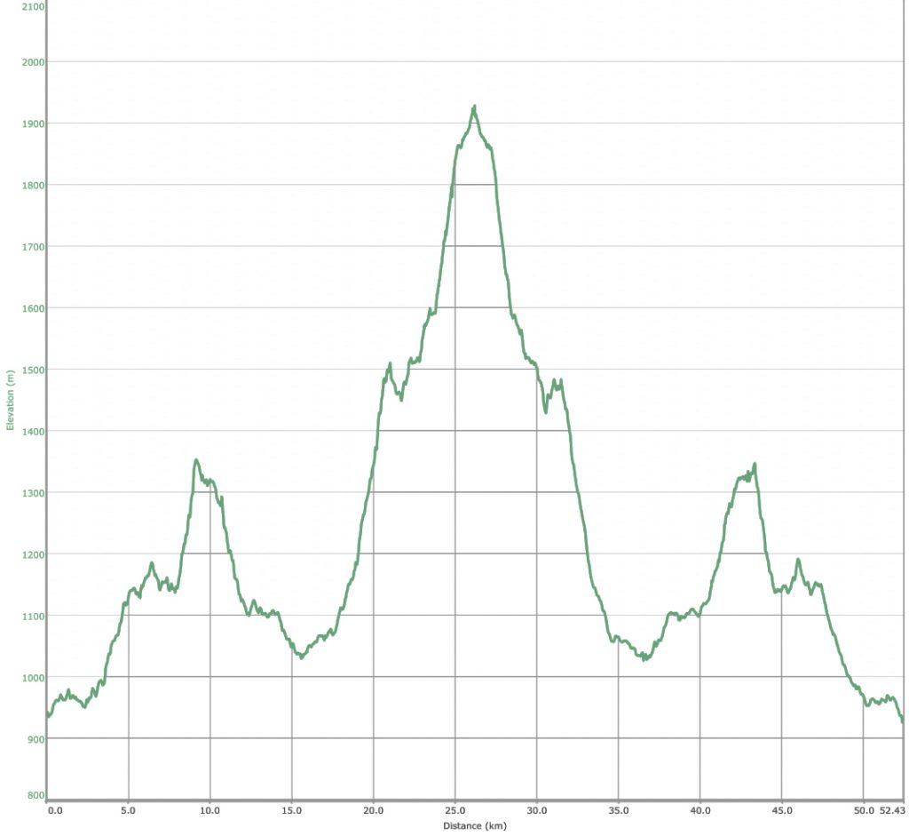
Elevation map for this walk
Things to know
- Phone: There is very limited phone signal on this trail (Telstra). Only really at the summit of Mount Bimberi but its not always guaranteed
- Water: You can top up your water along the way but bring a filter. In wet periods water is plentiful with the longest waterless stretch being the first 4 km of the walk and the ascent/descent of Mt Bimberi that is about the same distance.
- Toilets: There are only toilets at the trail head so bring a trowel to dig a cat hole
- Trail: This walk is on formed trail and management road
- Dogs: Dogs not allowed
- Camping: Camping is allowed but you need a permit in the Bimberi Wilderness that can be obtained by contacting the Namadgi Park Visitor Centre because there is a limited number of campers allowed at any one time
- If you are camping check your campsite prior to pitching your shelter and before putting on footwear as there are species of Funnel Web spiders in this region
- Avoid camping under large trees particularly during rainy and windy nights as it is very common to hear several very large trees go over at night time and this is evident on the trail itself
- Other:
-
- Murrays Gap is infested with snakes (large ones) during seasons with regular rains. Pay attention where you put your feet as they tend to be out and about hunting. In addition Brown snakes are also common in the drier parts of the trail during the warmer months so use tracking poles in areas of long grass
- In December 2016, the trail up to Mt Bimberi from Murrays Gap was overgrown and has a large number of tree falls. Pay close attention to the many small rock cairns along the trail otherwise you may find yourself lost or at best undertaking some serious bushbashing. The ascent up to the peak of Mt Bimberi is the only area you will potentially need navigation skills
- Be prepared to get wet feet during periods of rains
- No fires are allowed in the Bimberi Wilderness
- The Horse Flies in this area have a really good work ethic. They usually start halfway up the hill to Cotter Gap and will try to bite you through your leather boots, are capable of biting through a merino top, and don’t care one little bit about 80% DEET. Shorts and short sleeves tops are best avoided unless you want to spent much of the trip battling these flies. They are bigger and nastier during periods of drought
- The Kangaroos at Cotter Flat are thieves. If you leave food out at night they will take it. Every time I have camped here they have come and investigated the cooking areas once we have gone to bed for the night
Disclaimer
The walk was done by Gill and Tim from Australian Hiker