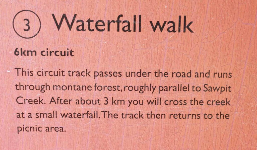
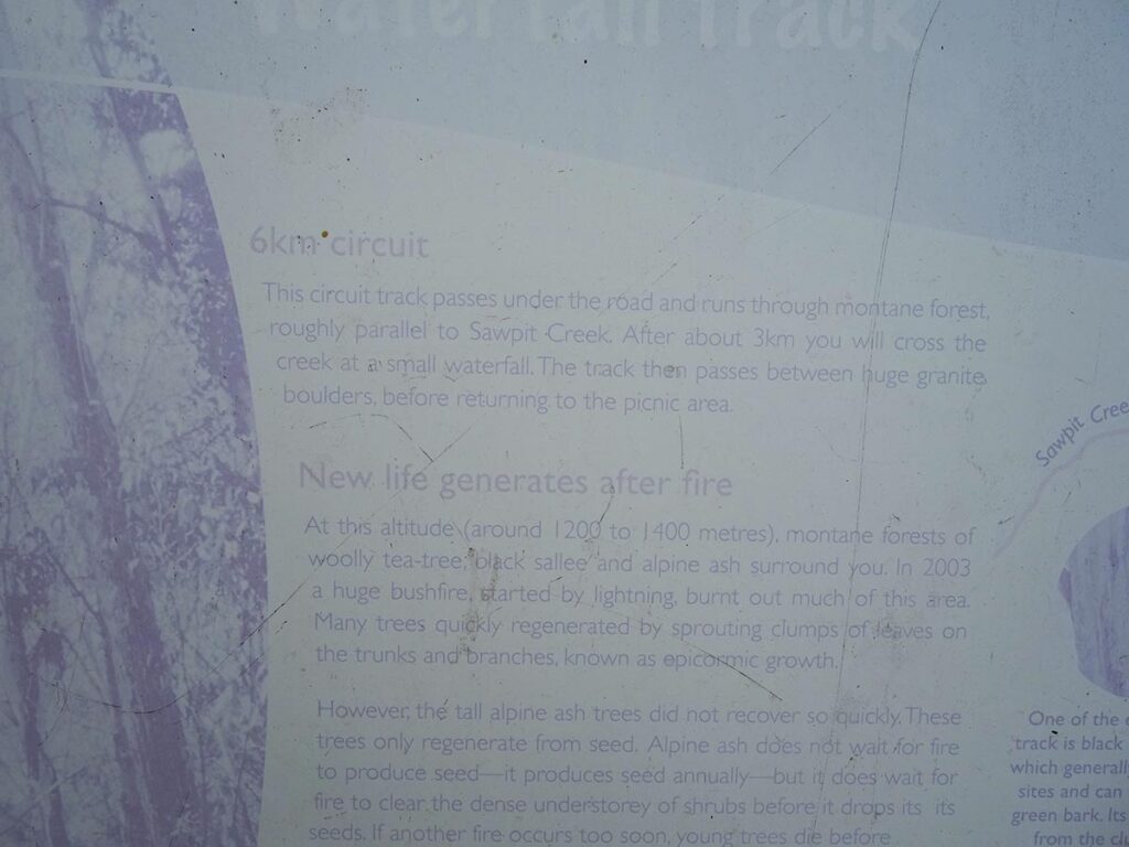
Waterfall Walking Track NSW (6km)
Kosciuszko National Park
Nearest Town
Jindabyne, NSW
Best Time of the Year to Travel
- For newer hikers – November-late March
- For experienced hikers who can cope with snow conditions and navigation off trail – year round
Starting Location
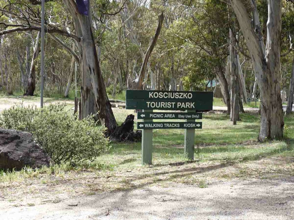
Kosciuszko Tourist Park picnic area, NSW
Finish Location
Kosciuszko Tourist Park picnic area, NSW
Waterfall Walking Track Review
When you think about Kosciuszko National Park it’s not hard the image the barren grasslands that form our highest mountains. Drop below the edge of the treeline and the landscape changes dramatically. The Waterfall Walking Track is one such walk and as the name implies the destination is a waterfall about 3km into the walk itself.
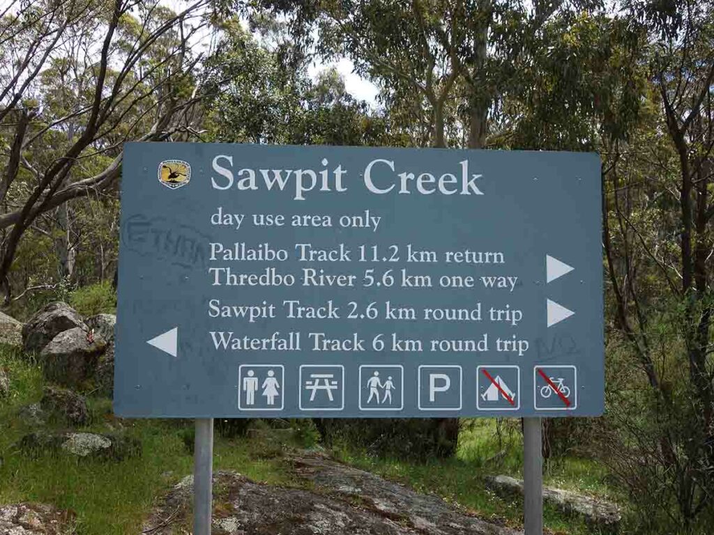
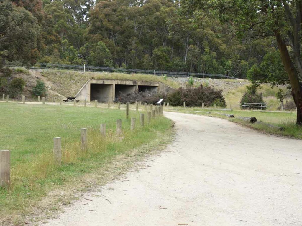
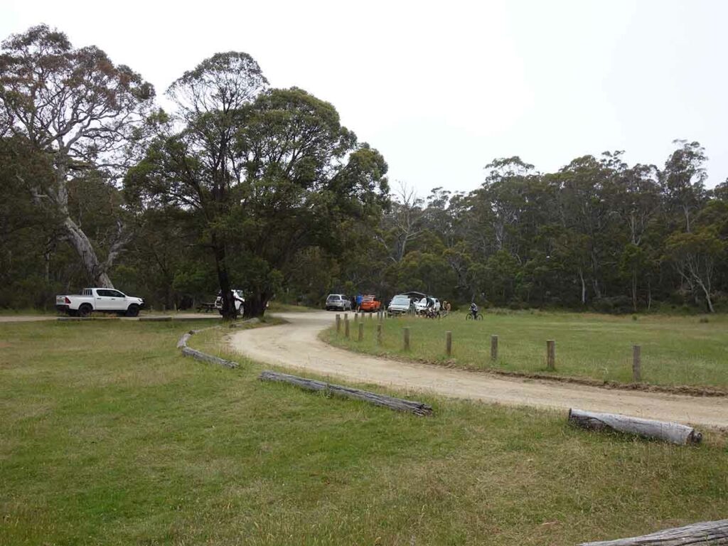
The trailhead for this walk is located at the picnic area of the Kosciuszko Tourist Park which provides access to two other walks, the 11.2km Pallaibo Walking Track, and the 2.1km Sawpit Creek walking Track.
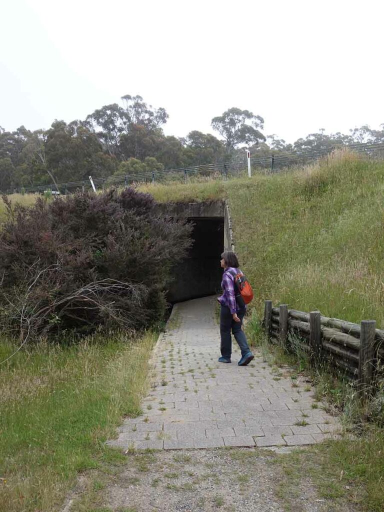
For me this was a strange walk only because I had a hard time picturing a waterfall in Kosciuszko Tourist Park, don’t ask me why but it just seems counter intuitive. Once you’ve parked your car and made use of the adjacent toilet facilities, head to the end of the car park and walk through the road underpass. Just as you reach the underpass there is some very worn trail signage that is just readable and has some walk information. Crossing under the road follow the signage arrows that will take you in a clockwise direction on a walk loop.
This is one of these walks that just makes sense to follow the recommended direction to get the better views. The forest in this are is made up of taller eucalyptus trees as opposed to the stunted Mallees you find closest to the edge of the treeline. The trees all appear to be about the same age with only the occasional prescience of a remnant tree which is an indication the trees have been logged at some stage or in this case burnt perhaps in the 2003 fire that went through this area.
The trail tread on the first half of the walk is uphill but is gradual and not overly steep. You pass though mainly treed areas along with one area of grassland that contained lots of wildflowers. The waterfall itself can be heard on the approach and the first visual appearance of the waterfall comes quite quickly.
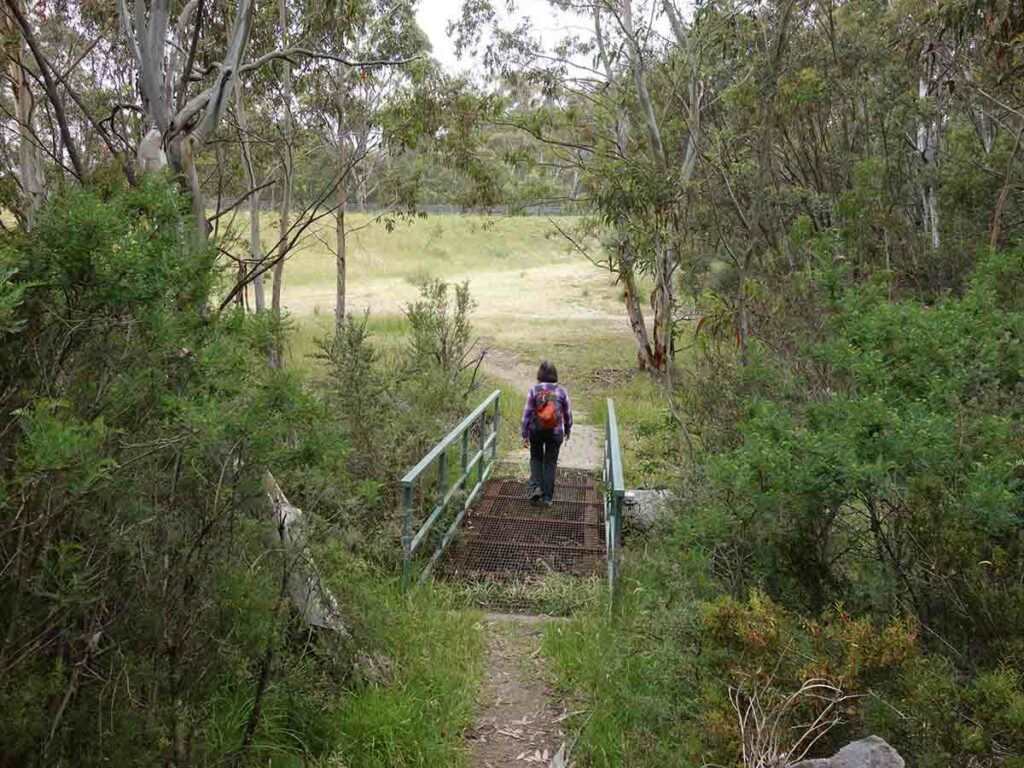
Spend some time at the waterfall lookout area before crossing over the metal trail structure that takes you to the other side of the creek and back to the trail start. On the day we did this walk there was some repair underway to this metal structure where a large tree had fallen and damaged the railing and walkway.
As you cross this metal structure you will come to the steepest section of the trail which takes you about 100 metres up to the trail highest point before you gradually make your way downhill on what is a much more undulating trail than the trip out. On the return leg we came across an area of rocks that can best be described as a rock city and its at this point you aren’t too far from the the trailhead. Continue on your way and you will catch glimpses of the road as you approach the grassy area and make your way back under the road the to start of the walk.
This is a pleasant 6km walk that is suitable for most hikers. The walk is very different to most other walks in this area of the park and is well worth a visit.
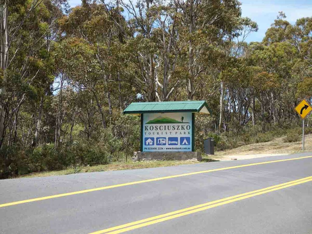
Entry to the tourist park on the left side of the road if approaching from Jindabyne
Trail signage. Follow the arrow for the Waterfall Walk and you will be walking under the road
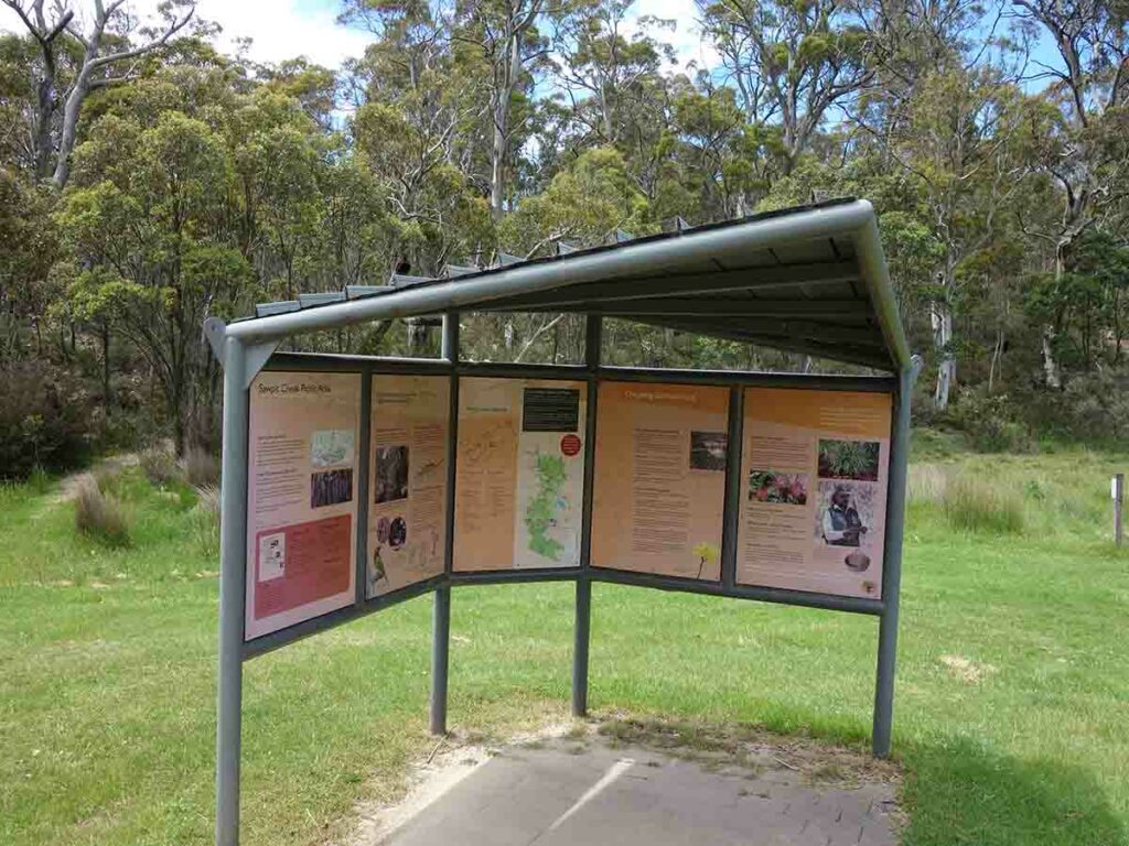
Trailhead information kiosk
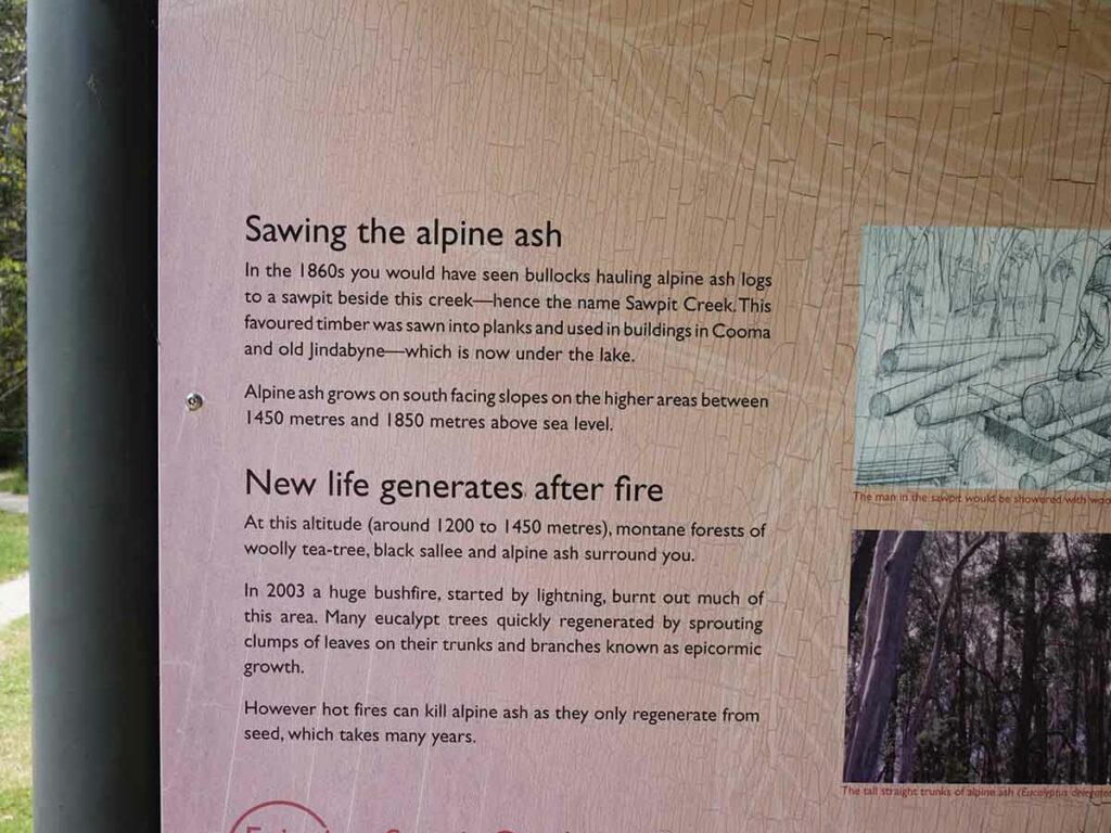
Close up of Sawpit information signage
Trailhead signage for the Waterfall Walk
Walk under the bridge to start the walk
Faded trail signage just near the underpass. Its readable, just, but you need to look closely
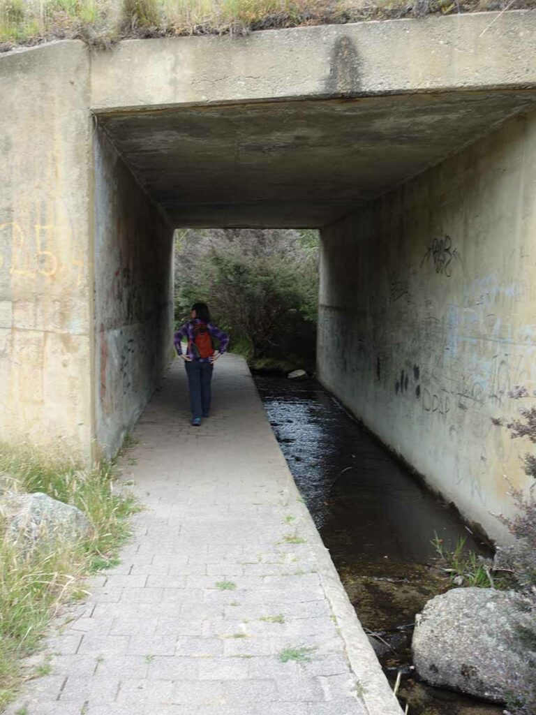
Under the road we go
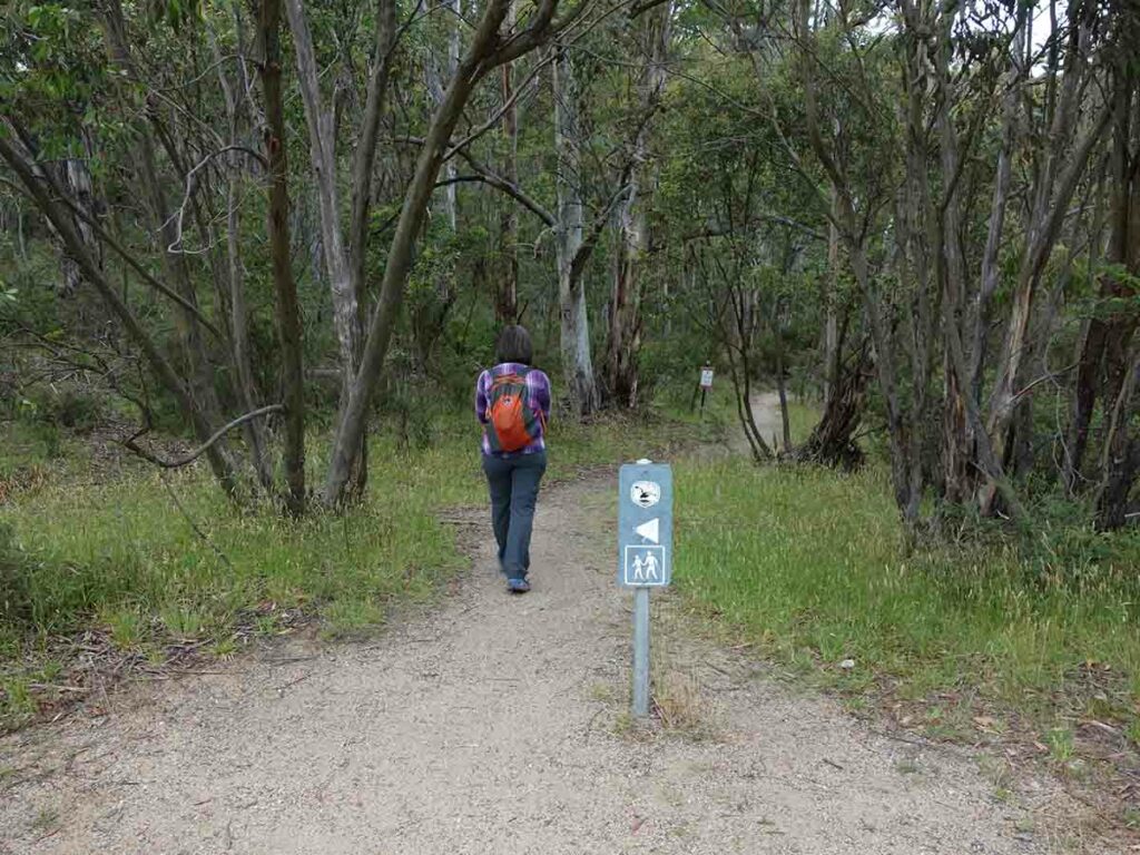
Trail signage
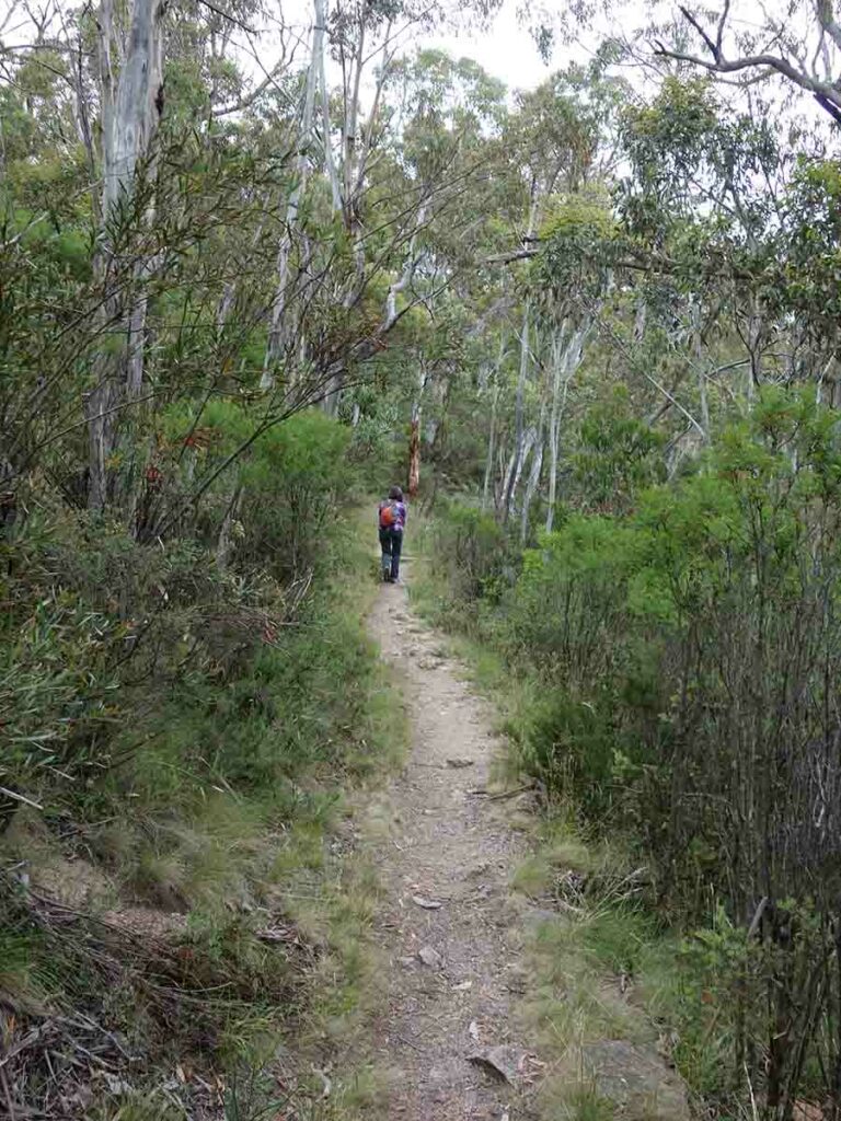
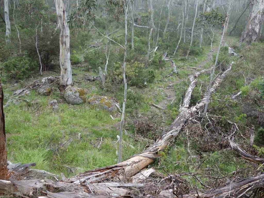
Trail example
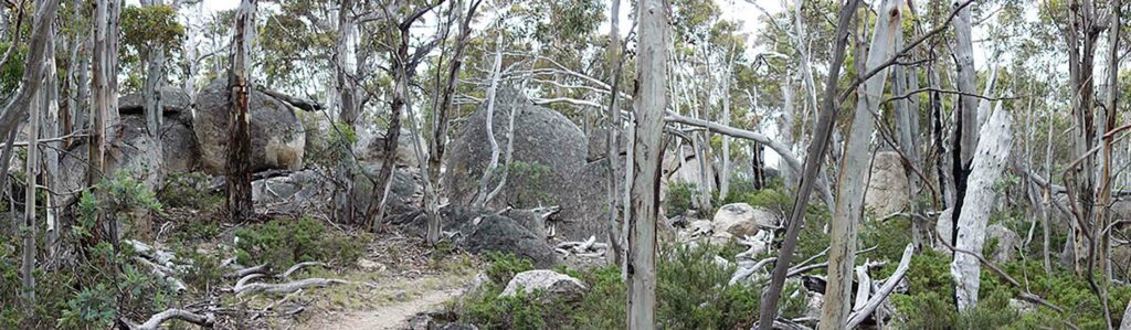
Panorama image of the track
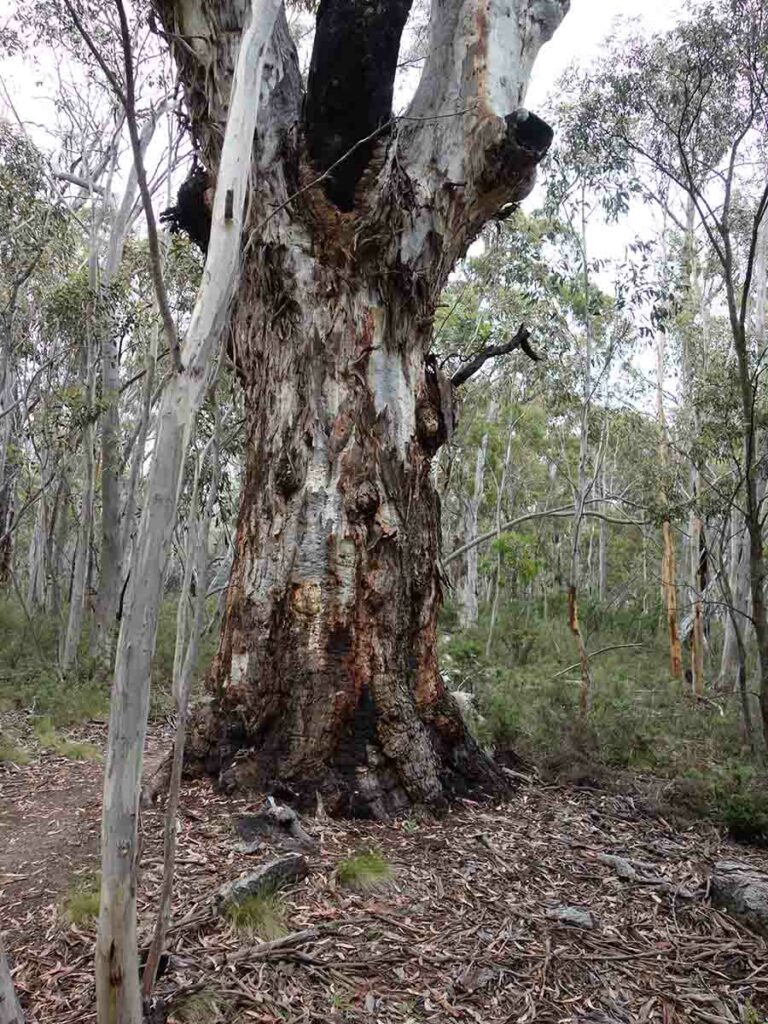
Remnant tree
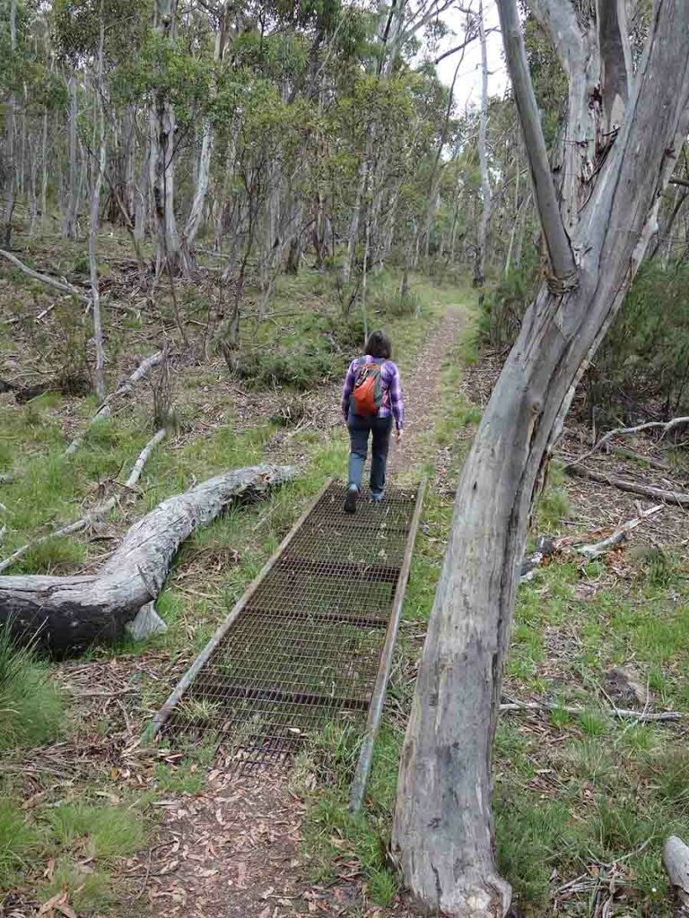
Small mesh bridge on trail
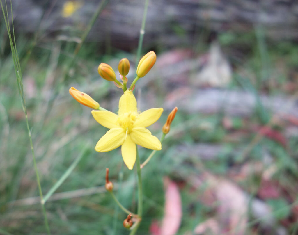
Yellow Rush Lily
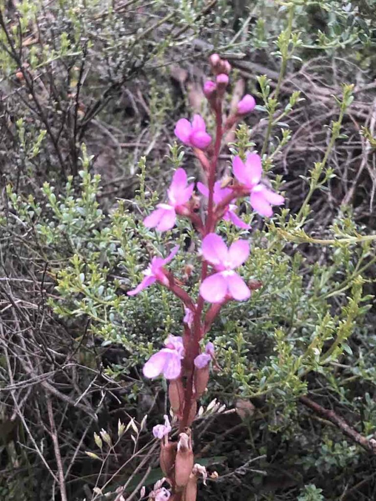
Trigger plant
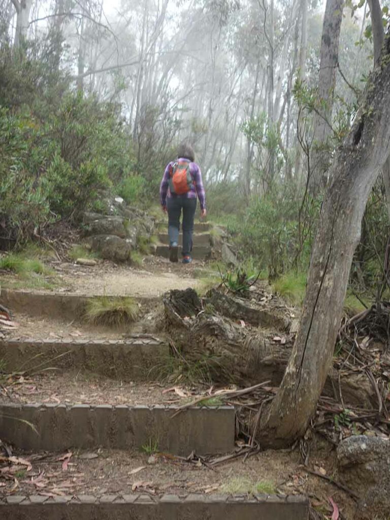
Trail example, smallish set of stairs

Open grassland image
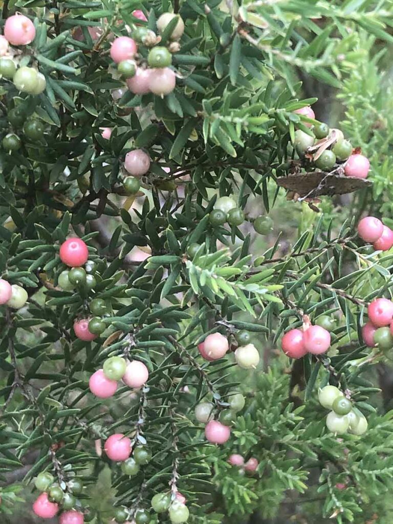
Kunzea species in fruit. These are edible if you feel like trying them
Scribbly Gum
Whalenbergia in flower
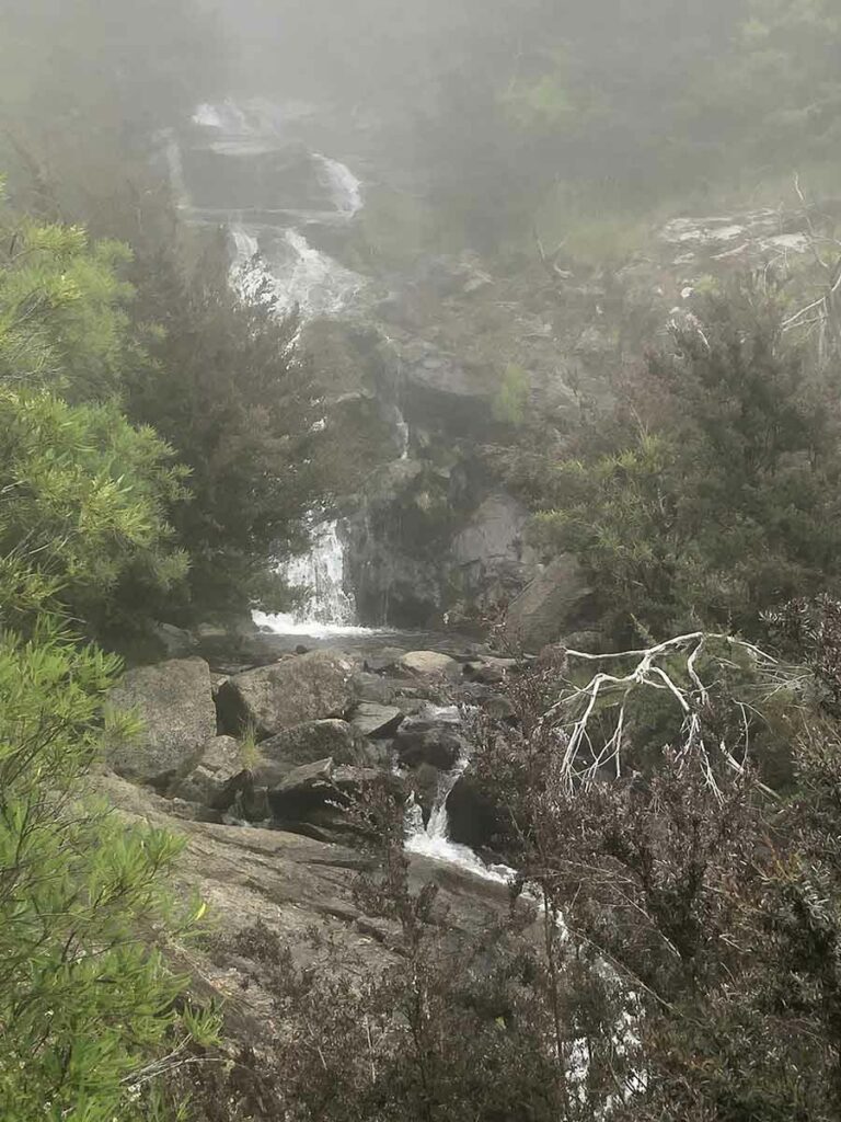
Waterfall. The destination point on this walk and the midpoint
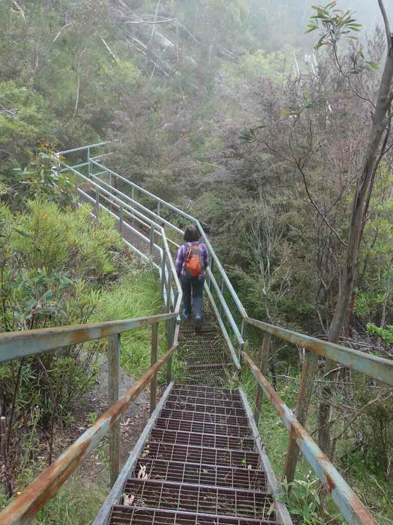
The mesh bridge takes you across the creek and on to the return leg of this trail
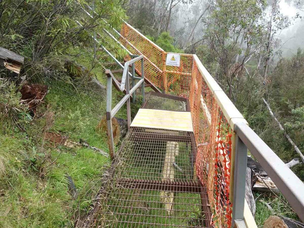
Damage from a fallen tree – the tree always wins
Undulating return trail
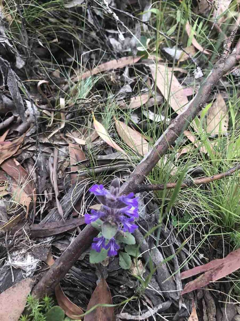
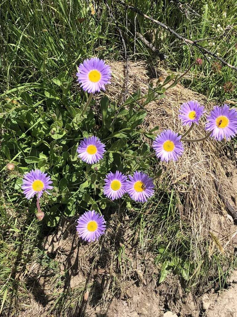
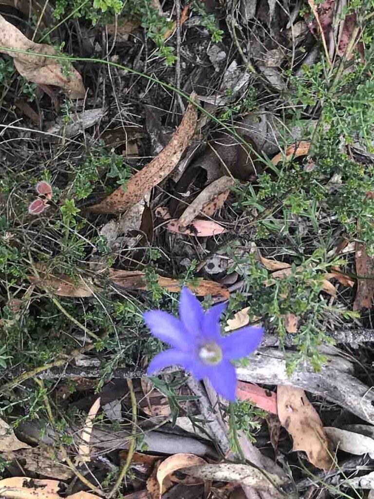
Unamed wildflower
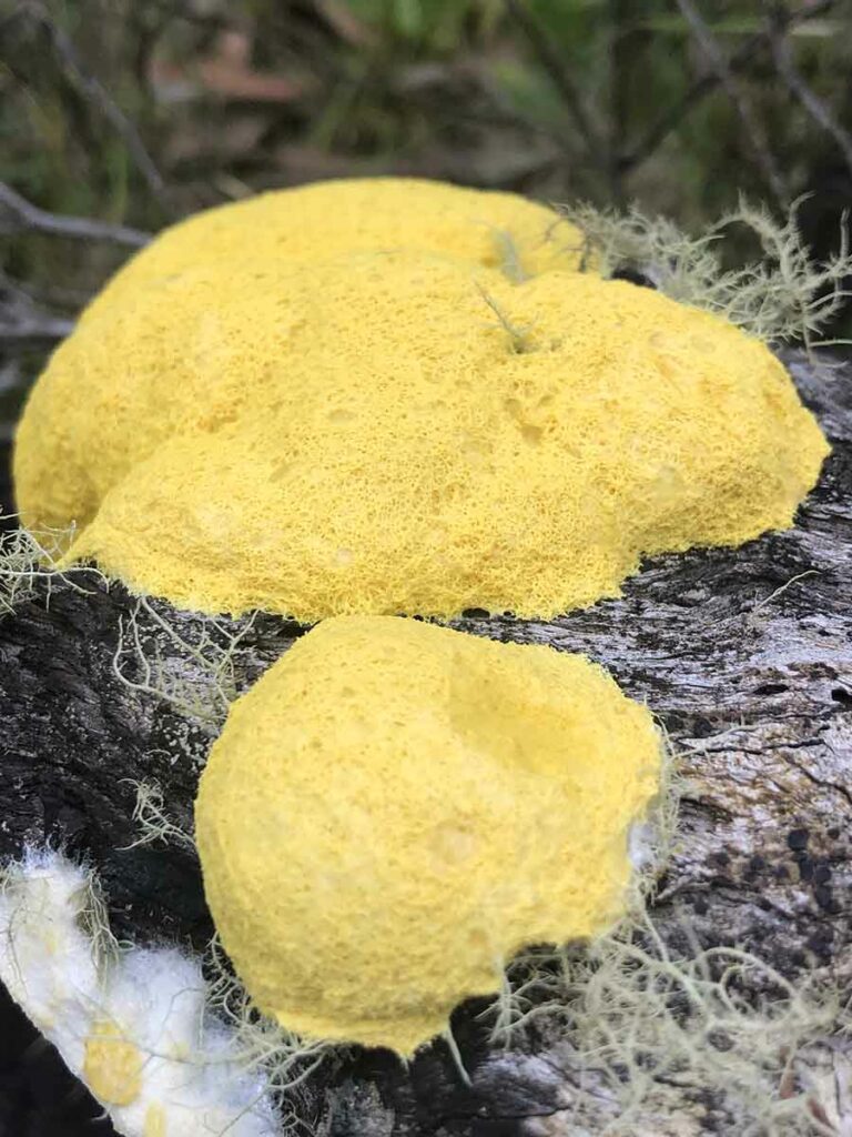
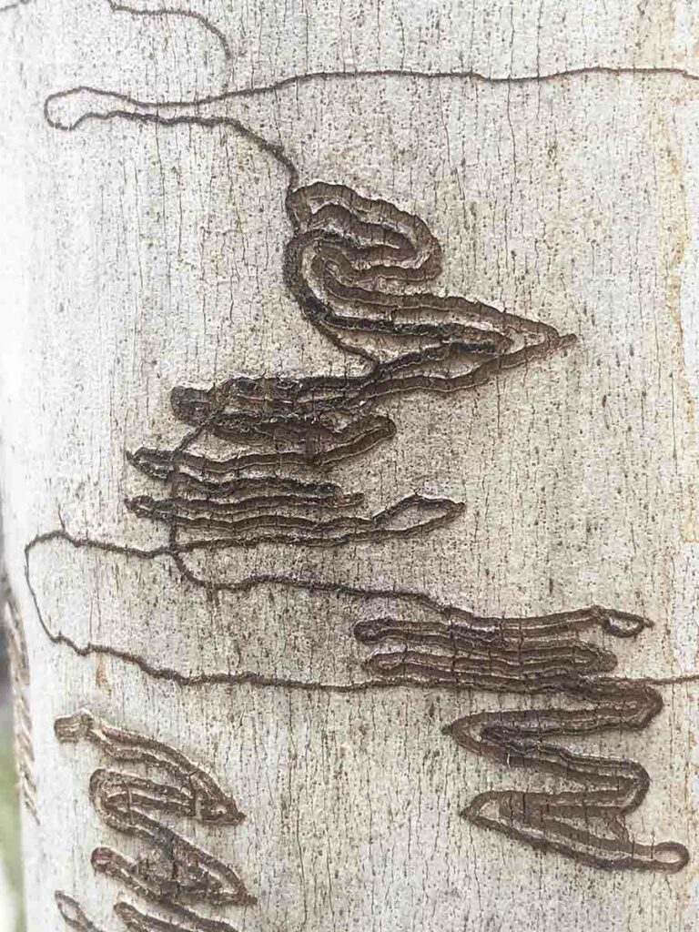
Slime mould
Not far from the end of the trail you come across an area that can best be described as ‘Rock City’
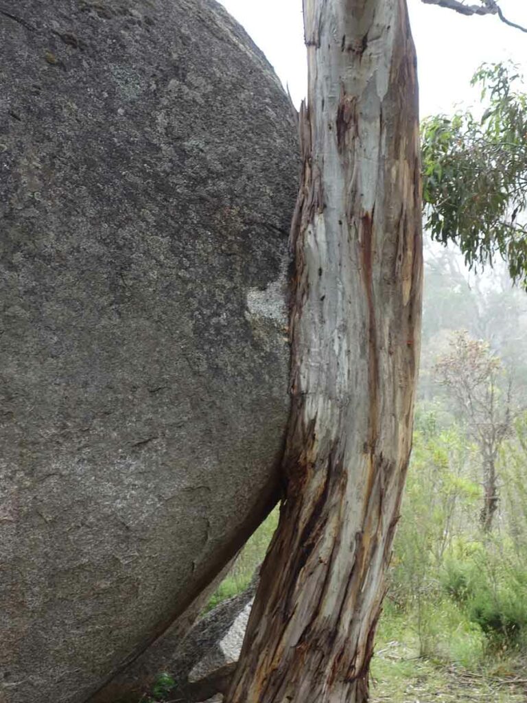
Eucalyptus tree growing around a rock
Almost back to the trailhead
Heading back to the underpass
Back to the trailhead
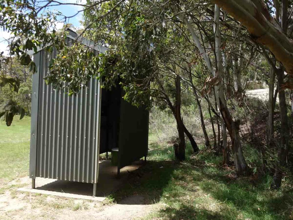
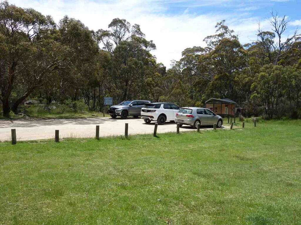
Toilets at Sawpit Creek located about 40 metres across the grass from the cars
Back to the car
Walk Video
This video includes a slideshow from start to finish of this walk that includes still and video images to give you a real time idea of what the walk is like
Getting There
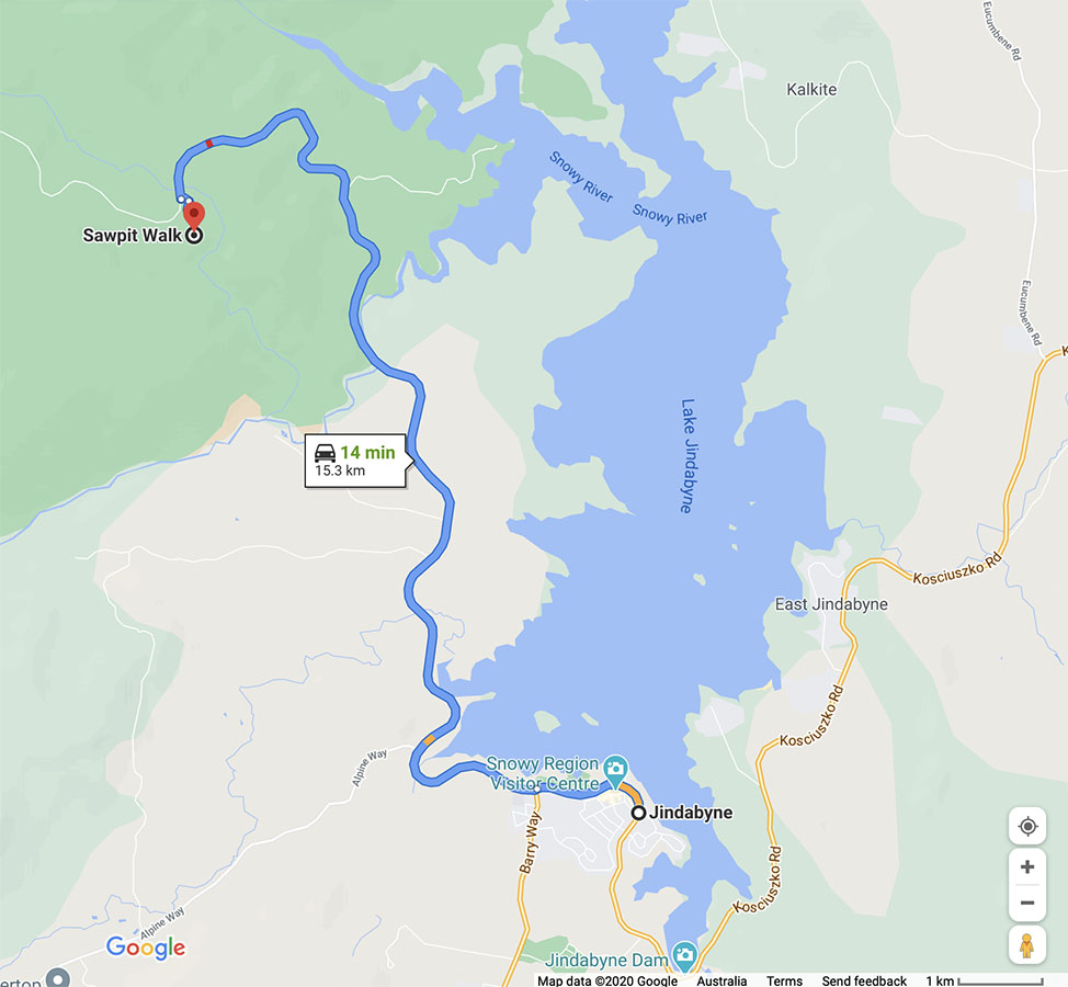
Travel to Jindabyne via Cooma and head towards Charlotte Pass. There is a park entry fee which you can pay for as a day or annual pass at the visitor centre in Jindabyne or at the toll gates on nearing the park. The visitor centre in Jindabyne opens at 8:30am most days but check the timings on the website just in case.
Follow Kosciuszko Road and turn into the Kosciuszko Tourist Park. Take the first turn on the left to the picnic area
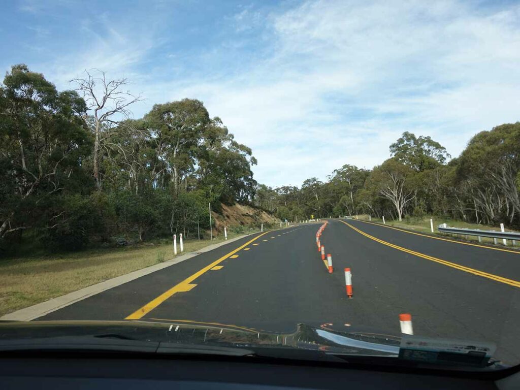
Entering the National Park
Park entry point
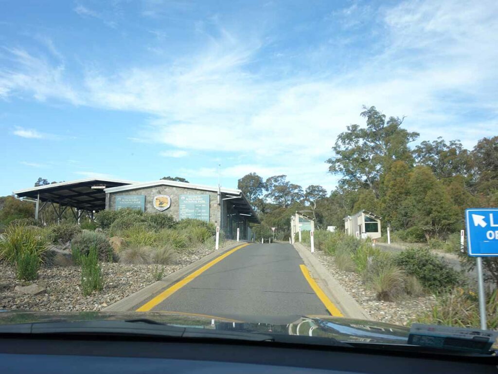
Approaching Sawpit Creek with the trailhead on the left
Entry to the tourist park
Turn left on entering the tourist park
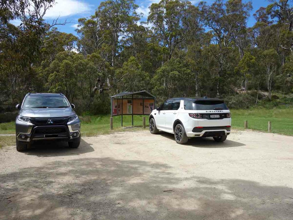
Trailhead car park
Things to Know
- Phone: There is minimal phone signal on this track (Telstra)
- Water: You need to bring your own water. There are some locations to draw water on the trail but if doing so you should filter
- Toilets: There are toilets at the trailhead
- Trail: This walk is on sealed trail
- Dogs: Dogs not allowed
- Camping: No camping
- Other:
- The March Flies can be ruthless from about mid November-Mid March so wear long sleeves and and long pants. They aren’t deterred by insect repellent
Disclaimer
This walk was undertaken by the team from Australian Hiker