Mount Dromedary – Gulaga NSW (15.6km)
Gulaga National Park
Nearest Town
Narooma, NSW
Starting Location
- Trailhead located just outside Tilba Tilba
- This car park will hold about 8 cars but park carefully so you don’t block anyones ability to turn around
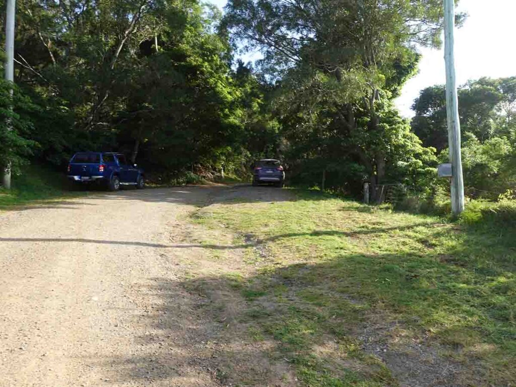
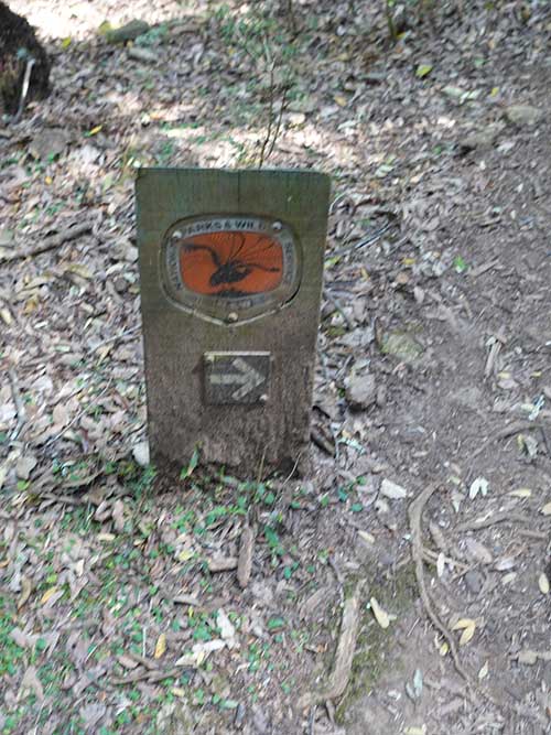
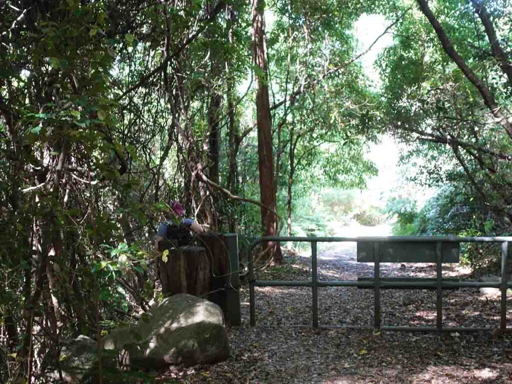
Trail parking at Gulaga
Finish Location
- Return back to the starting trailhead
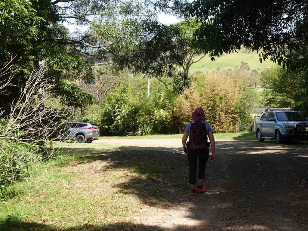
Back to the car at Gulaga
Best time of the year to walk
Year round but avoid after periods of extended rain
Mount Dromedary - Gulaga Summit Trail
I’ve been trying to walk this track for many years but I just never seemed to mange to get to this part of the NSW south coast and finally I set aside some time! This trail goes by many names:
- Mount Dromedary Summit Walk
- Gulaga Summit Walk
- Tilba Tilba Trail
- Tilba Tilba Walking Track.
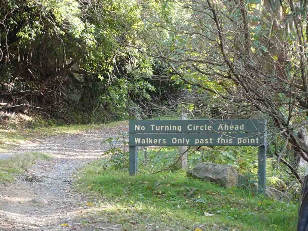
This was another example of Captain Cook naming things as he sailed down the east coast of Australia and the European name of Mount Dromedary was given because it looked like a camels hemp as opposed to the Indigenous name of Gulaga. Whatever your call it your destination is the summit of Mount Dromedary (Gulaga) and before you get to excited there are no views to speak of once you reach the summit. What this means is that this walk is all about the journey and not the destination. The walk itself is located in the small village of Tilba Tilba about 19km south of the coastal ton of Narooma and once you make into tile Tilba itself you come to Pams Store which is where you make a air left turn and follow the signs to the the informal carpark about 1.5km away. The trailhead is more of a pull-off point and there is a sign advising not to drive past otherwise you will struggle to turnaround unless you enter peoples properties to do it. As such take some care with how you park so you don’t block the turnaround area, nor the farmers gates, or take up to much of the limited parking space.
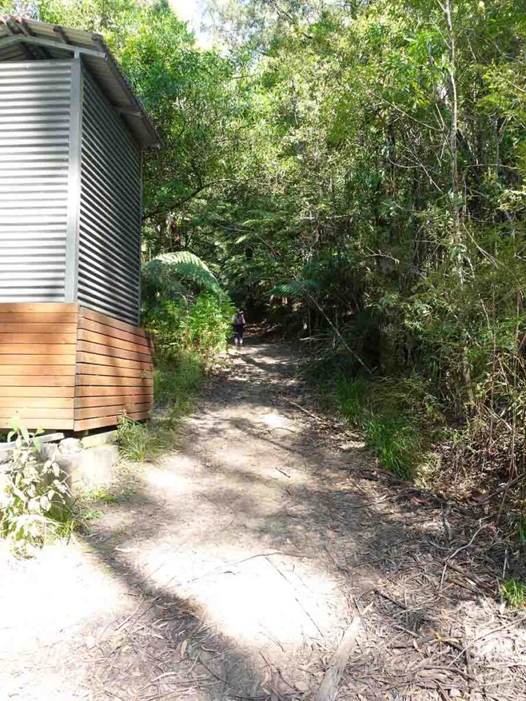
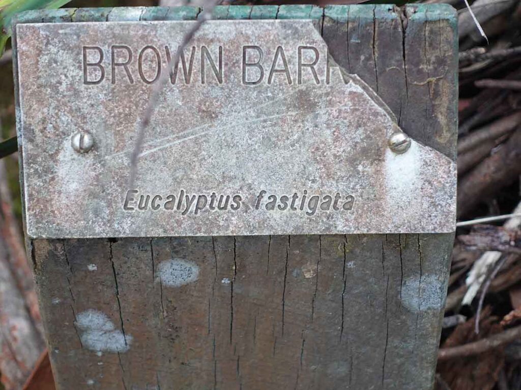
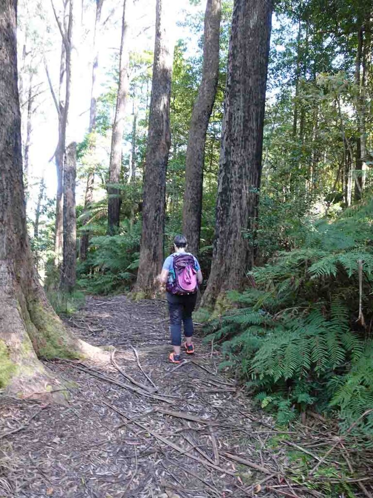
We started our walk at just after 8:30am in the morning so we could avoid the forecast heat and even then there were already two cars parked with hikers already on the trail. we started what would end up being an almost steady but constant uphill wall to the summit and while most of the trail is on management road its a hard slog to you find destination. We stopped about an hour into the walk for a break and to do a podcast recording before continuing on to the saddle on the trail where you will find a large (old) picnic table, a composting toilet (bring your own toilet paper) , and an information kiosk talking about the overall area. While we are on the topic of signage there is a set of old information signs that are either damaged or missing om the whole so the information kiosk is you bet bet to find out ll about this area. This mountain is safe dot the local Indigenous people, has gold mining history, has geological history, and is a dormant volcano. Directional signage is basic but good enough that you can just follow the trail without having to worry about getting lost.
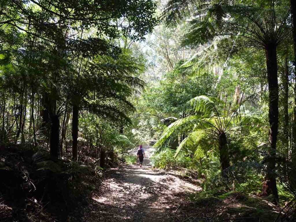
Once you go past the toilet the trail starts to narrow and eventually becomes a wide single track. The only real flat, and then downhill section is past the toilet block before you start to make you ascent too the summit through temperate rainforest that eventually leads you to the TRIG Station which is your highest part of the trail at 806metres. This is one of those summits where there is almost no view through the trees but the summit is more about providing a turnaround point. What really surprised us about this trail is the feeling of solitude and while we had hikers behind and ahead of us you just felt like you had the trail to yourself for most of your journey. the other thing to love about this trail is that much of the walk is though a green tunnel in the earlier parts of the day until the sun finally reaches over the top of the mountain. The surrounding forest is dense and includes clumps of large leafy tree ferns that has that rainforest feel to it. You will reach a pot t in the trail that advised you that you are officially entering a rainforest and at this point there was an obvious drop in temperature.
We stayed at the summit for about 20 minutes before starting our journey back down to our starting point. It took us 2 hours and 40 minutes to reach the summit but the return trip was much faster and we got back to our car just on 5 hours after our start. Apart from being a faster return leg we also had much of the reviews down towards to nearby coastal twos and to the ocean.
Birdlife was present for the entire trip provide there song although we didn’t actually see many directly. Other wildlife included a black wallaby, and a solitary juvenile Tiger Snake that slithered across the road quite slowly making its way into the surrounding vegetation. For me this is the only snake that I have come across on trail in almost two years and while it was moving slowly it was quick enough that I couldn’t get my camera out in time so the image below just shows the =back half of it as it entered the vegetation on the left hand side of the trail.
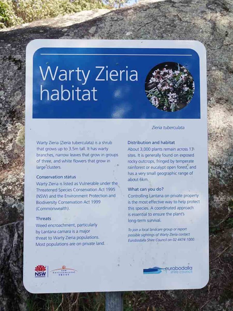
Vegetation was dense and lush and at the start of the trail you will come across a native plant close to the start of the trail that is identified by signage as being endangered. On the day we did this walk tr was in full flower nd there was astringent honey smell in the air although if you stick you nose into the flowers you don’t notice it.
One we returned back to our car its as back to narrow for a late lunch at one of the many eateries on the inlet at the rear of the town. Without a doubt this is one of the best walks we have done for a while and it wasn’t because nay one thing stood and as mentioned its a trail that all about the journey. The way the track has been graded it has been designed to divert water so we would advise avoiding doing this trail after periods of extended heavy rain because this track looks like it could get a bit greasy underfoot.
NOTE: Listen to our on trail podcast due for release by 9 October 2025 to find out what we were thinking in real time on the day.
Trail parking at Gulaga
Warning signs for cars
Endangered Species sign
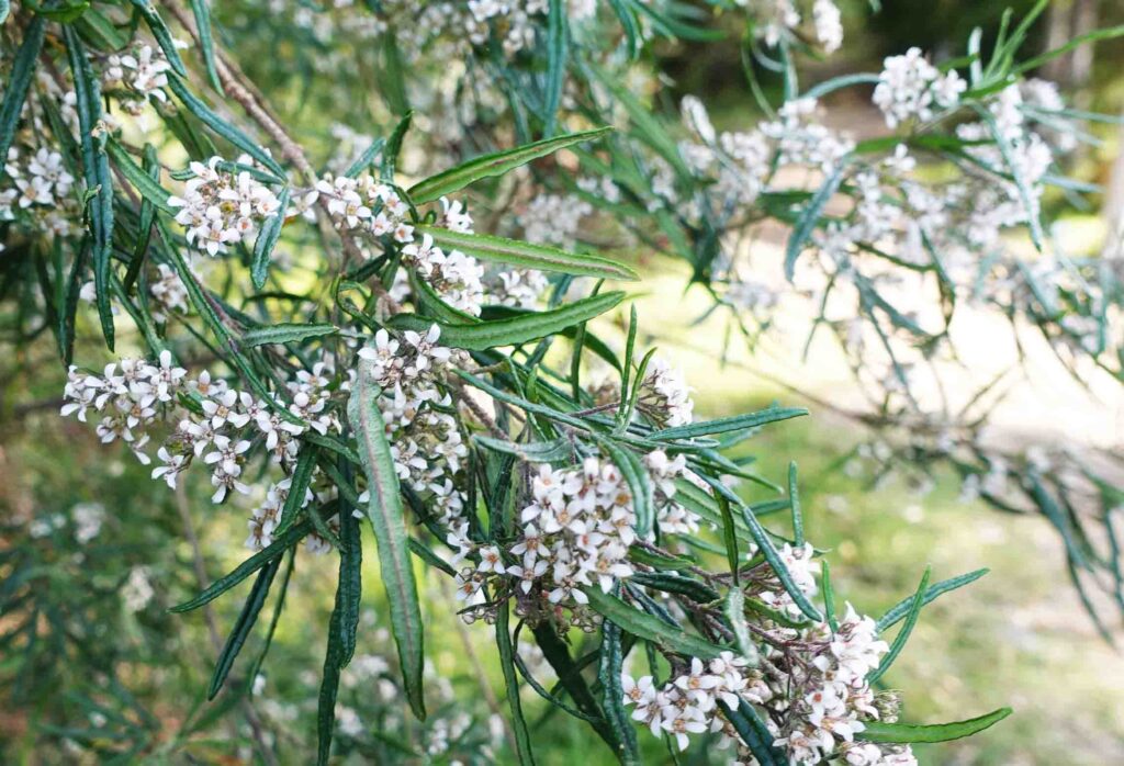
Endangered plant Warty Ziera
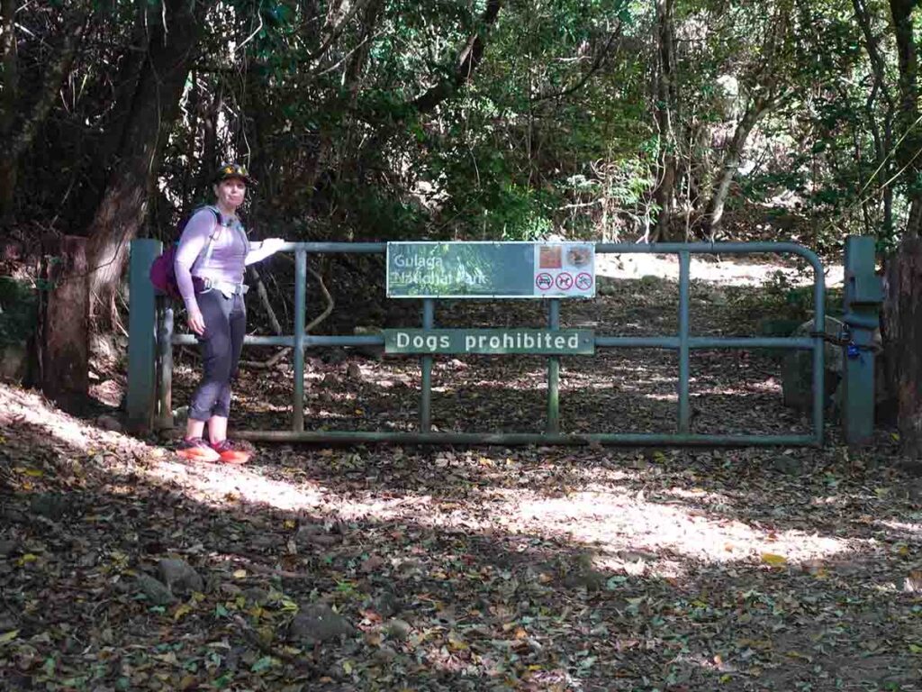
Into Gulaga National Park
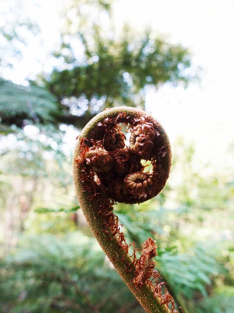
Tree fern frond unrolling
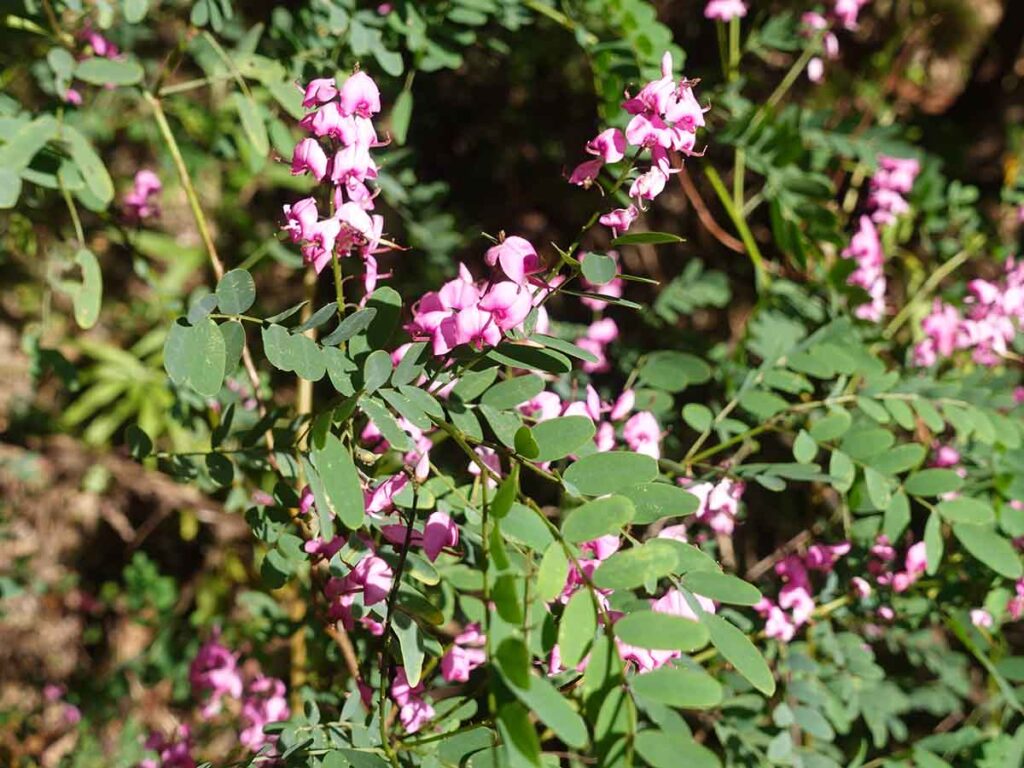
Pea Flower
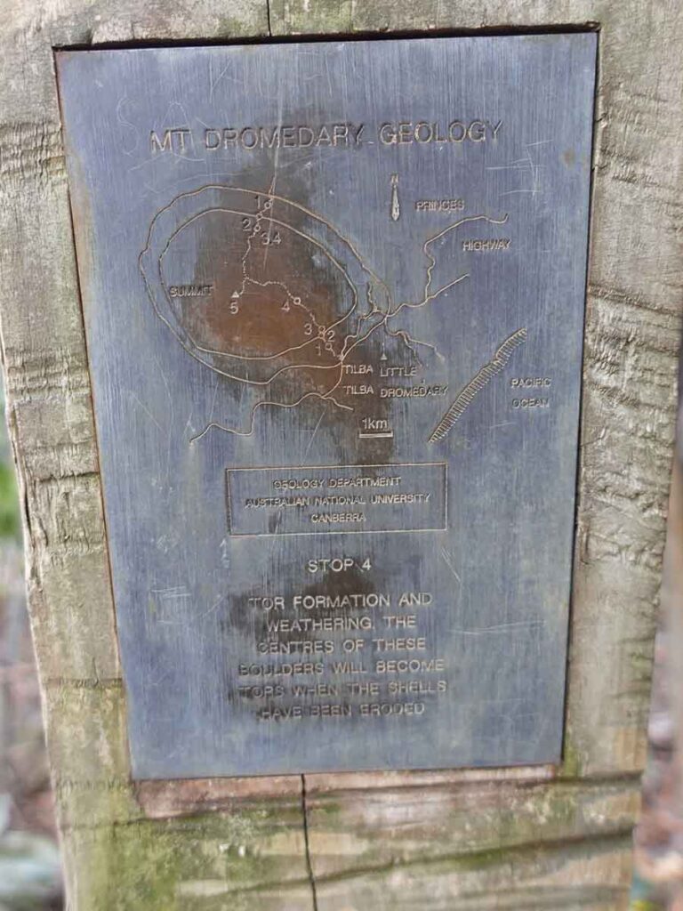
Old signage example
Morning tea Gulaga
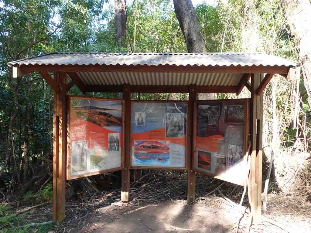
Information Kiosk about 4.7km in
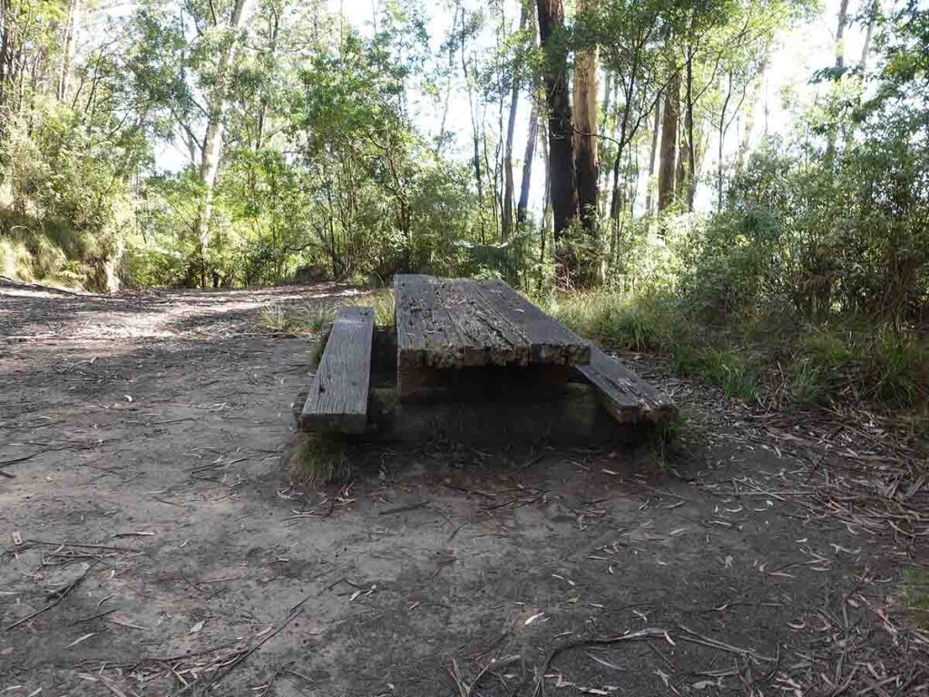
Picnic table
Toilet on trail. Head up past the toilet to continue this walk
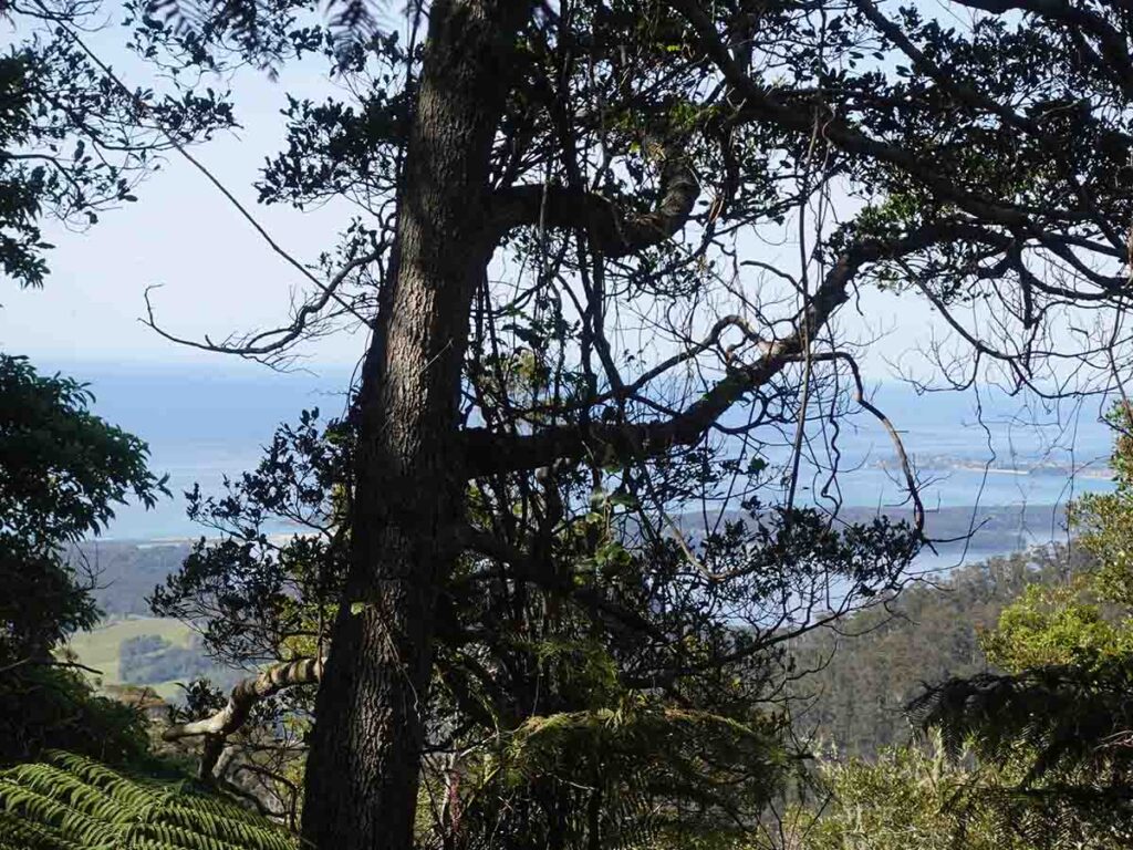
Views through the trees on the way up
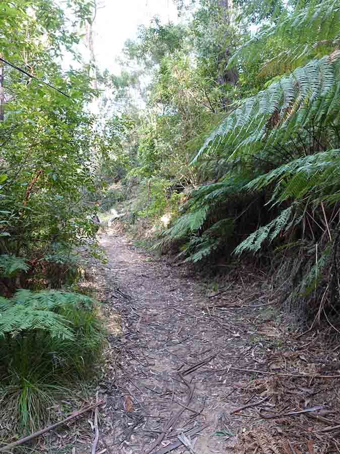
Trail example Gulaga
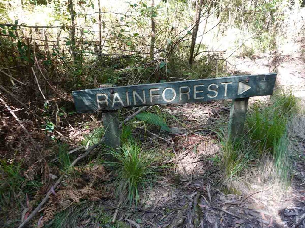
Entering the rainforest proper
Old directional signage
Old information signage
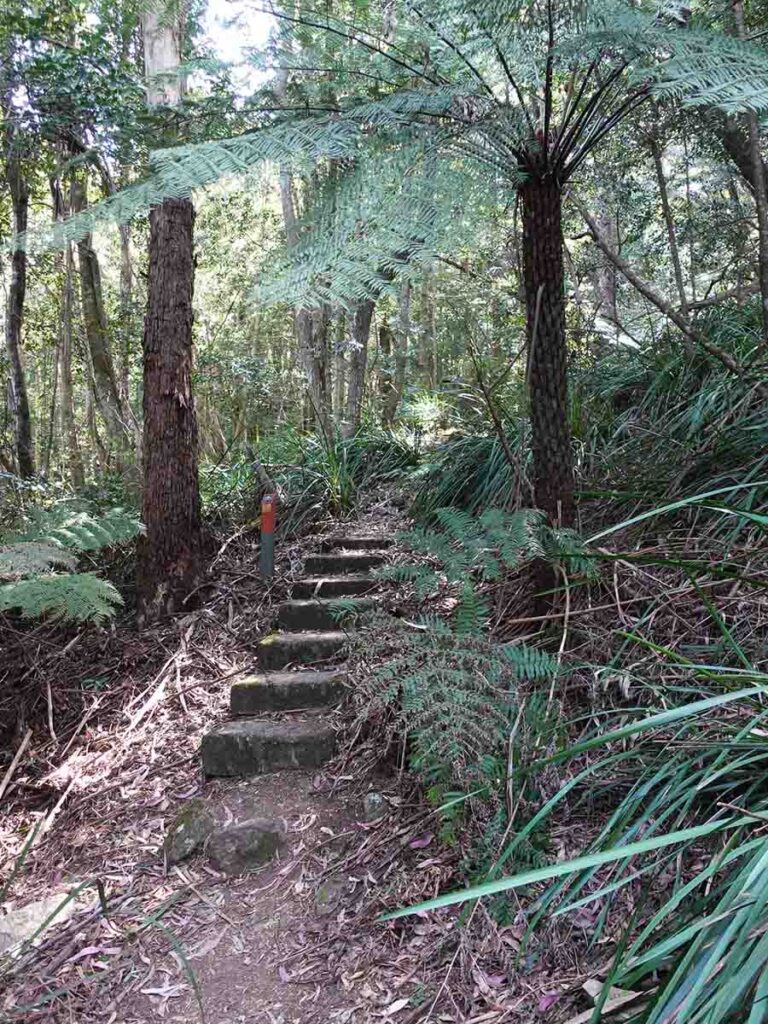
The stairs mark the final ascent to the sumit
Up to the summit
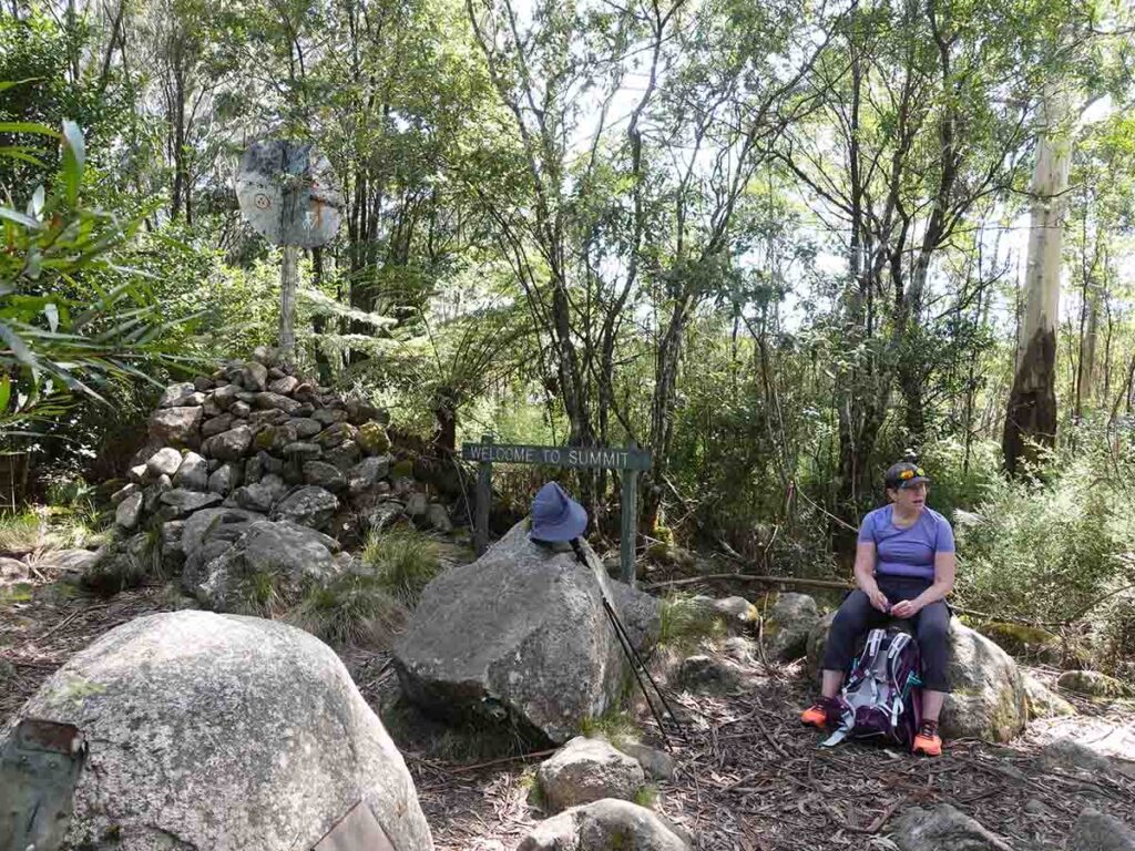
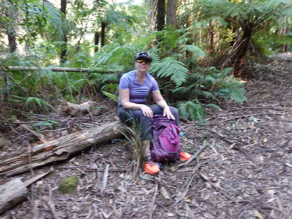
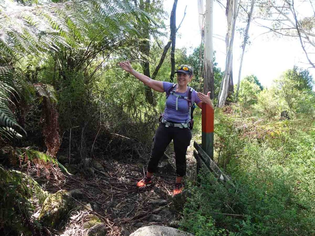
Gill at the Gulaga summit
Trail example on the way back
Dense lush foliage on the way back down
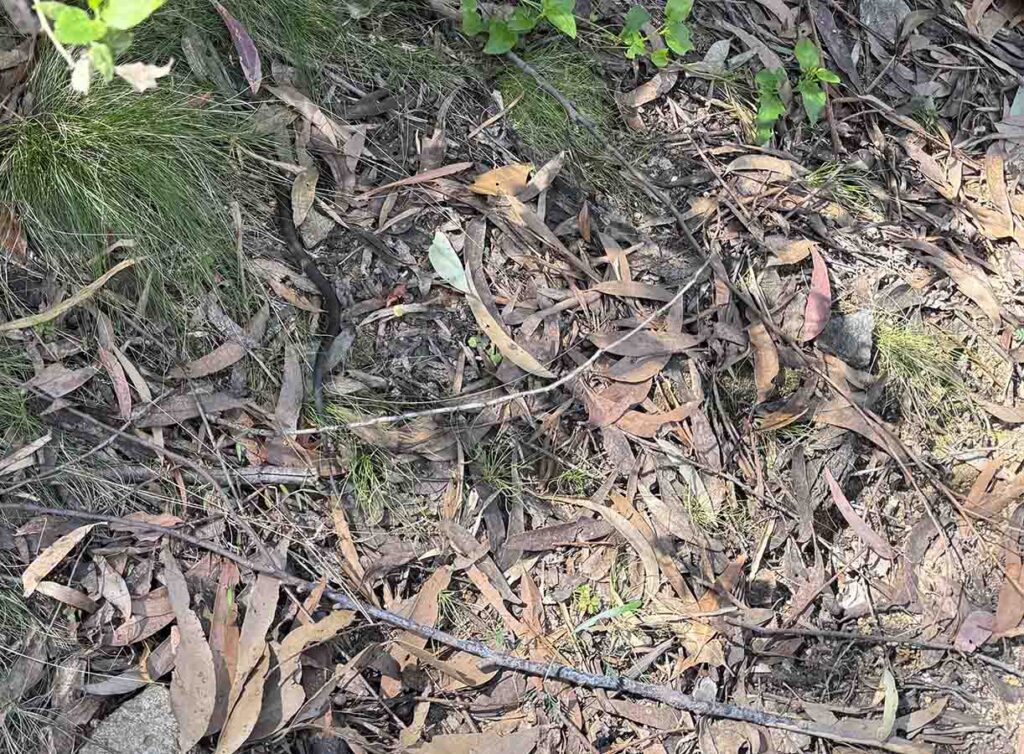
Juvenile Tiger Snake on the way back down. It crawled across the road in front of me but I wasn’t quick enough to get the full snake in the image
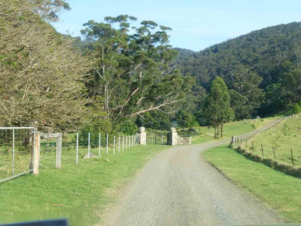
Through the gates at Gulaga
Back to the car at Gulaga
Why do this Walk
This walk is all about the journey and not the destination. The solitude on this walk surprised us even though there were other hikers around.
Trail video
This video slide show provides a visual overview of our experience on the day of our walk
Getting there
Getting to the trailhead is relatively easy. Seach for one of the trail names identified above and you’ll get there on good roads.
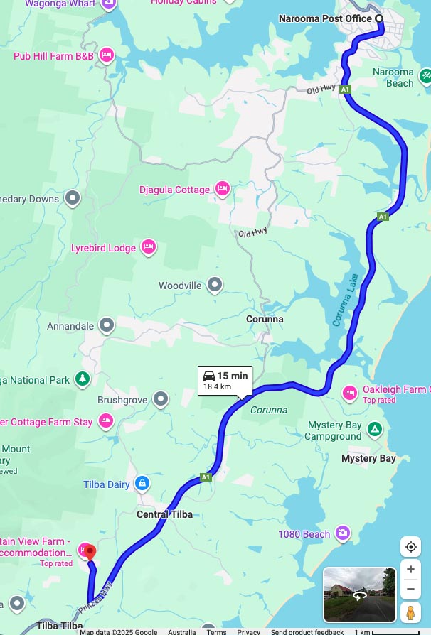
Google Map Narooma to Mount Dromedary (Gulaga) is 19km (15 minute drive) south from the Narooma GPO
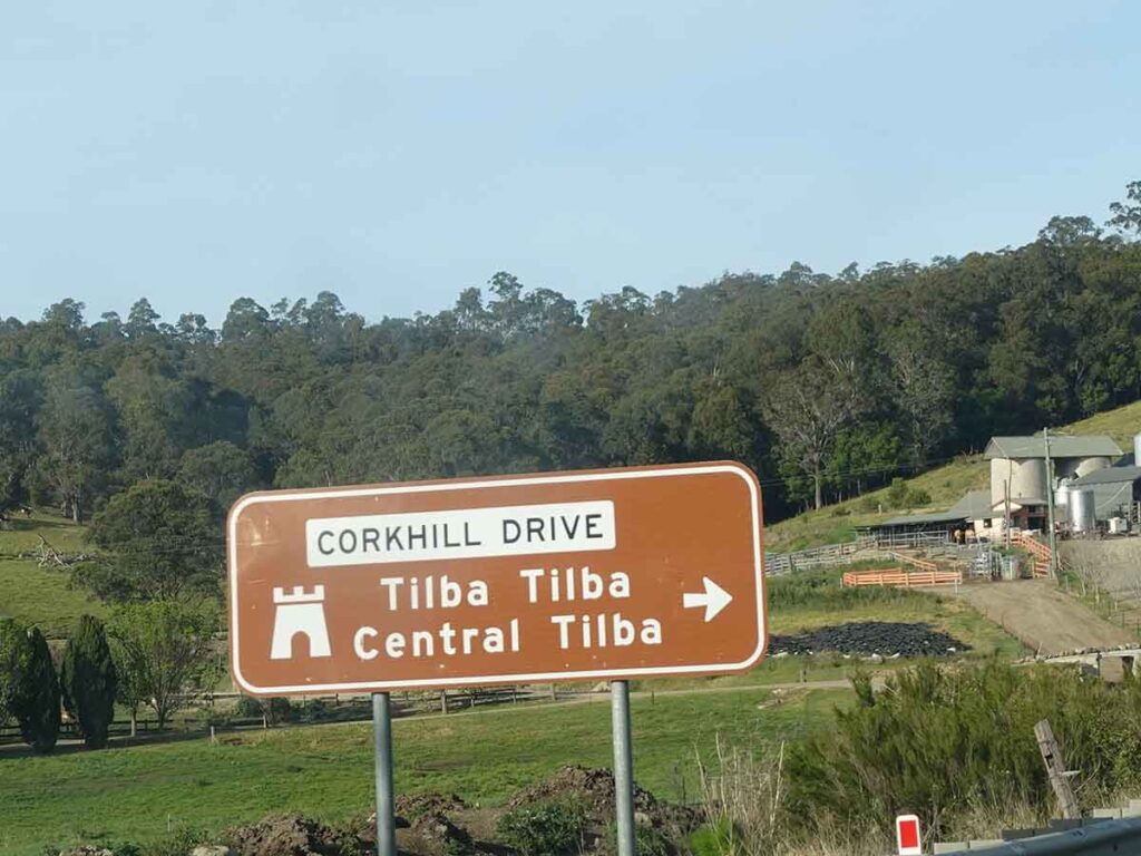
Sign on the Highway to Tllba Tilba
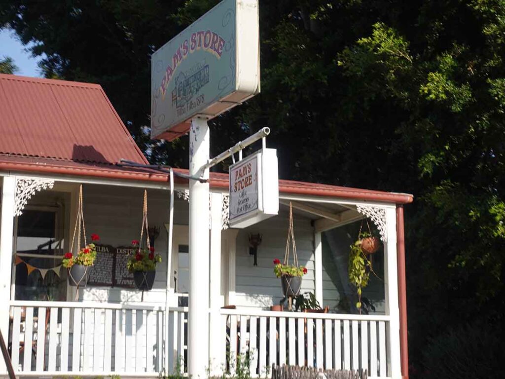
Turn hard left at Pams Store and follow the walking trail signage

Follow the signs to the walking trail
Road to the trailhead at Gulaga
Trail parking at Gulaga
Things to know
- Phone: There is good phone signal on much of this trail (Telstra)
- Water: You need to bring your own water
- Toilets: There is a composting toilet about 4.7km into the walk but bring your own toilet paper
- Trail: This walk is mostly on formed management road and towards the summit on single track trail
- Dogs: Dogs NOT allowed
- Other:
- Bring adequate shade (hat, long sleeves etc) in the hotter months
- No camping is allowed on this trail
- Signage is limited on this trail but good enough to find your way
Disclaimer
This walk was undertaken by the team from Australian Hiker