Acheron Ledge Walking Track NSW (3.3km)
Murramarang National Park
Nearest Town
Batemans Bay, NSW
Starting Location
The starting point is the small of street car park adjacent to 69 Maloneys Drive, Maloneys Beach, NSW
Finish Location
Return to your starting trailhead adjacent to 69 Maloneys Drive, Maloneys Beach, NSW
Best Time of the Year to Walk
Year round although if you want to take advantage of the beach and have a swim, then choose the hotter time of the year
Acheron Ledge Walking Track Review
We chose this walk because we wanted something short that was close by to where we were staying and wasn’t going to take a lot of time. This shares some track with the Murramarang South Coast Walk, was the Acheron Ledge Walk and looking at the NSW Parks information and a local guide book available in the Batemans Bay Area, this walk looked to be one of the shorter, easier to access options.
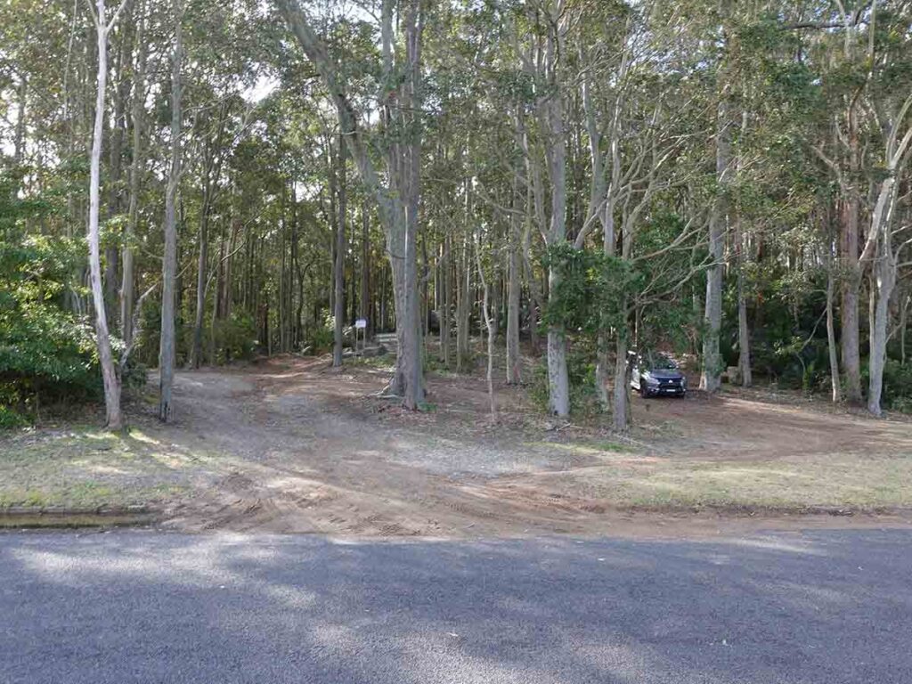
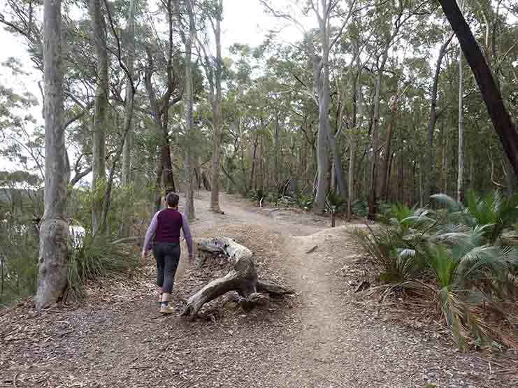
Initially I had expected this walk to be around 1.6km but soon realised this was for one direction. I don’t know why some guide book writers don’t include the return distance because you do need to walk back to your car. The trailhead is in Murramarang National Park and is adjacent to 69 Maloneys Drive in Maloneys Beach which is about 13km north of the regional township of Batemans Bay. There is a small car park just off the road but if it’s busy you can always park along the road. The trail starts by walking up the management trail and veering to the right or taking the steeper, but shorter track that has been cut through the bushland that connects with the management trail at the top of the shortish hill.
The signage on this walk is very much non existent and in all honesty I would suggest having your phone with you or at least the NSW Parks app to make sure you stay on the path but if you keep to the right when presented with a fork in the path, you will be reasonably safe.
If you want to get to the destination beach your only other choice if you don’t walk is by means of water craft. If you still want to do this walk but want to shorten the distance you can drive to the southern trailhead of the Murramarang South Coast Walk. There you will find toilet and barbecue facilities – this option will shorten the walk by around 1.2km although you get to walk up the very long and steep set of stairs!
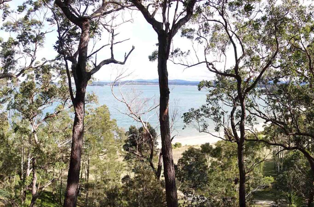
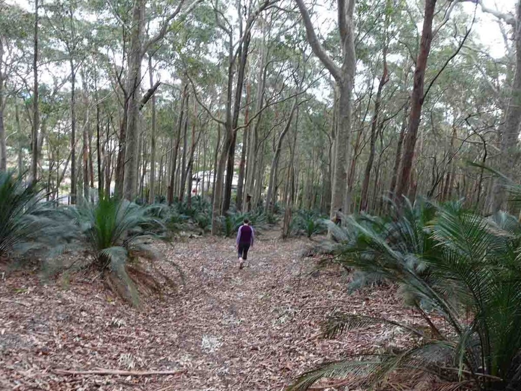
Overall the walk takes you through a eucalyptus forest with an undergrowth of cycads providing views off into the adjacent waters surrounding Batemans Bay. In that sense this walk is good but nothing special. In fact around 30% of this walk shares trail with the longer Murramarang South Coast Walk but while I love this environment, it can’t be described as spectacular. So why bother?
Firstly if you are a local this isn’t a bad option to go bush but what really surprised us was the small beach at the mid point of this trail that has so much potential. Its a lovely little sheltered beach and one that isn’t going to see a huge amount of traffic. We will definitely head back in the hotter months of the year to have a picnic lunch and take a short swim.
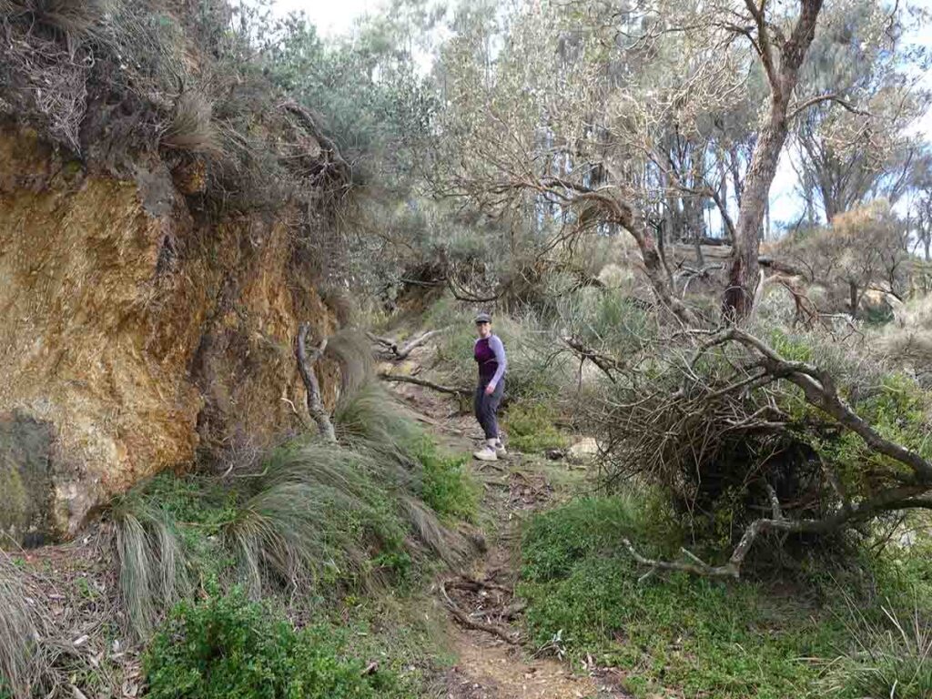
The track itself is reasonably well formed with the exception of the walk from the headland down to the beach where you will need to take things slowly as it can be a bit slippery if it’s been raining.
I have spent a lot of time in this region of the NSW south coast and I am only just discovered these hidden little local walks and this one is a great option if you are short on time taking around 70 minutes to complete.
Pull off into the small car park for Acheron Ledge Walking Track adjacent to 69 Maloneys Drive
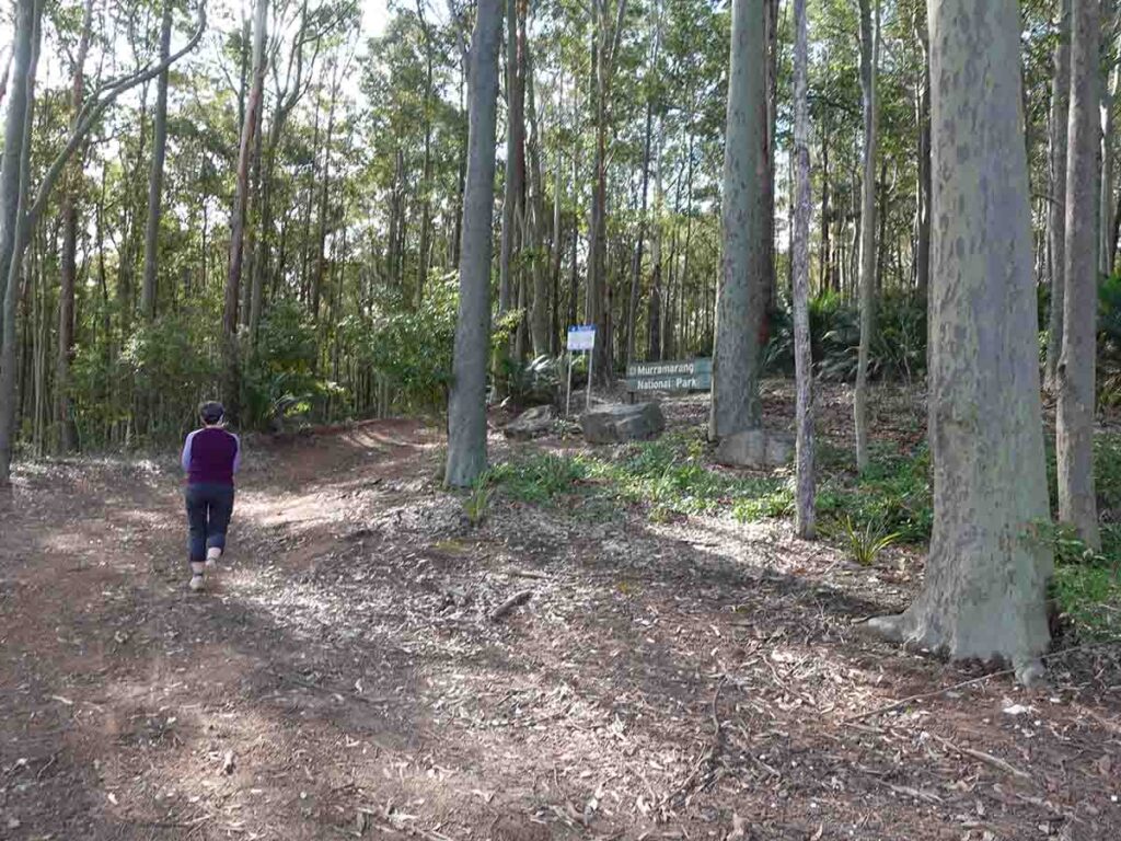
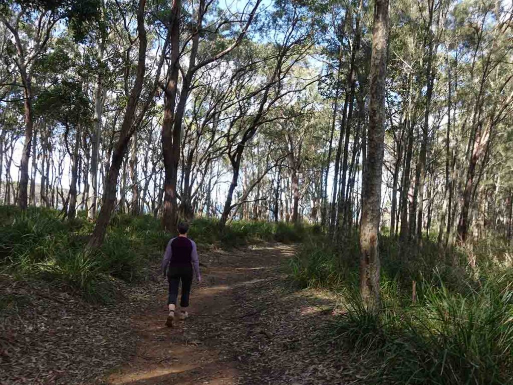
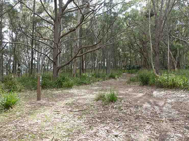
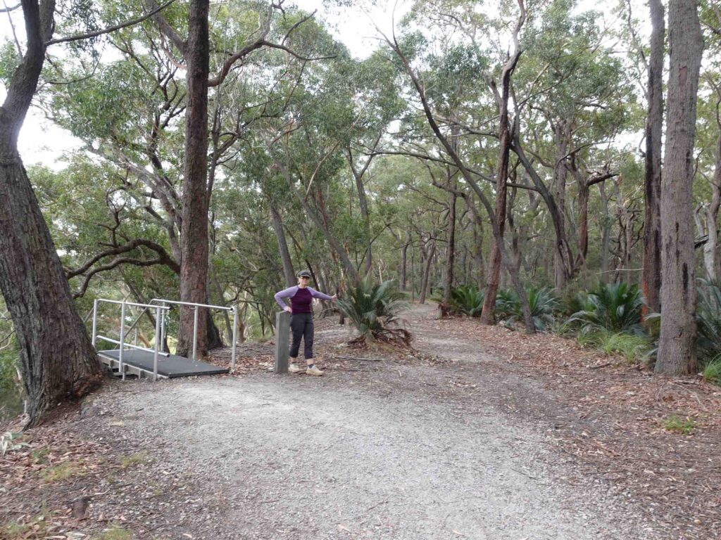
Leaving the car park at the Acheron Ledge Walking Track
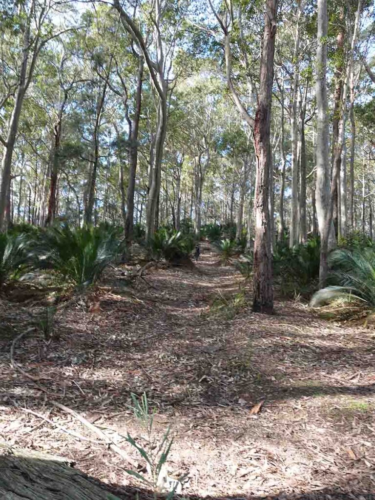
Trail example 1
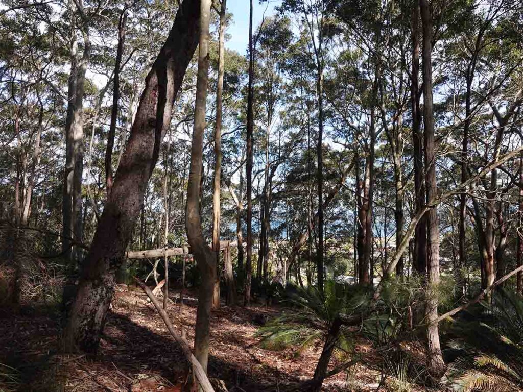
Filtered views through to the ocean
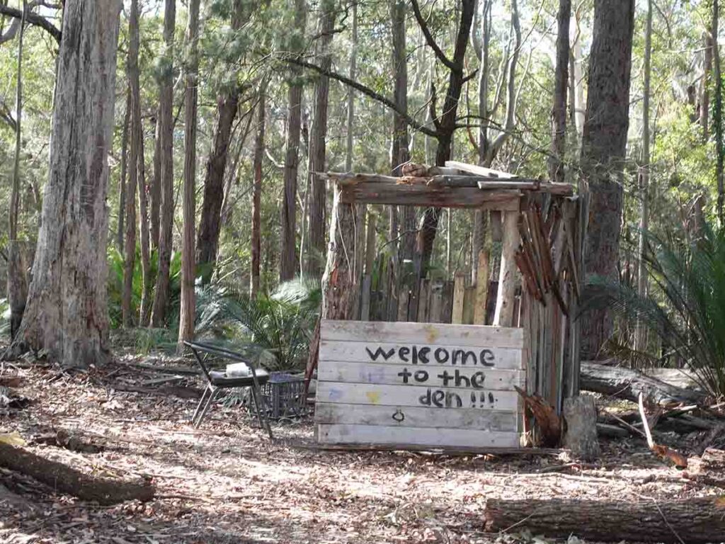
The local kids have been busy!
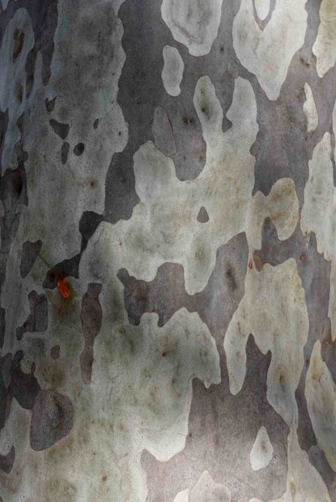
Love this bark
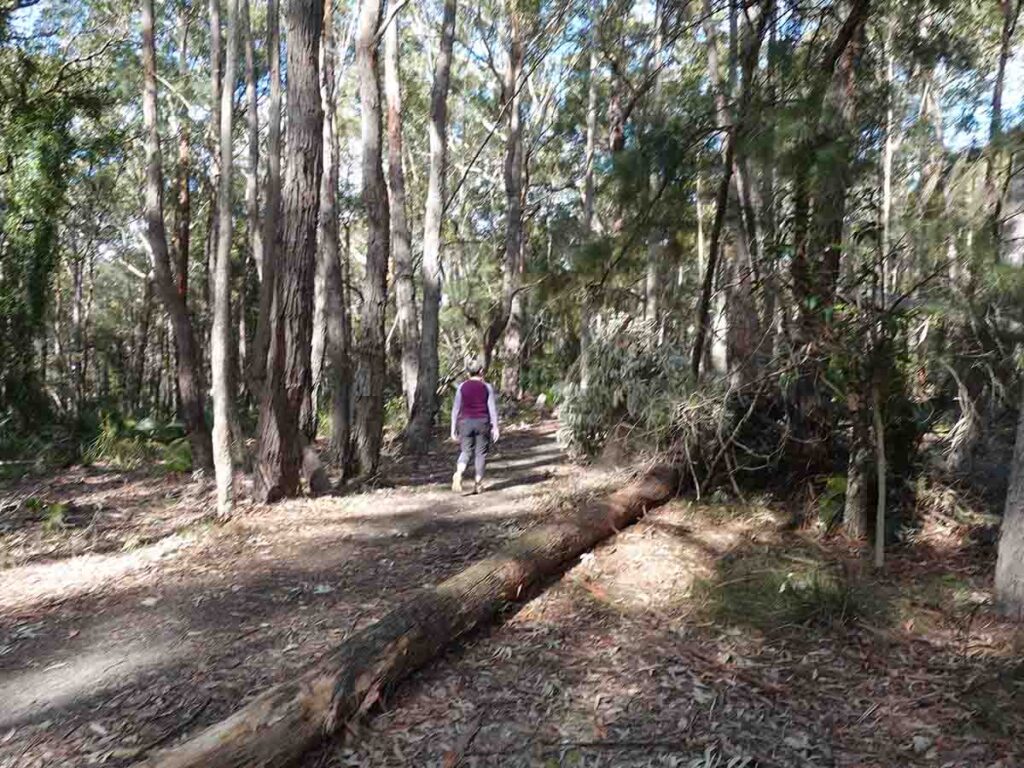
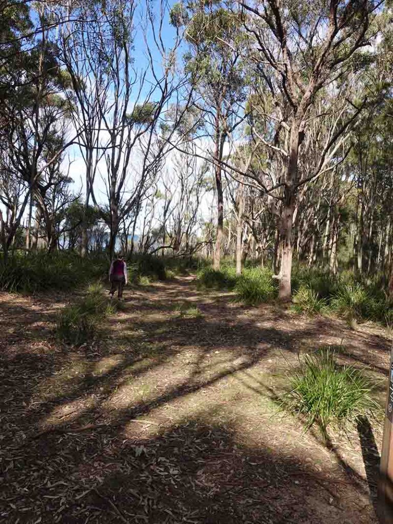
Trail example 2
Walking past the stairs that leads to the southern trailhead of the Murramaranmg South Coast Walk
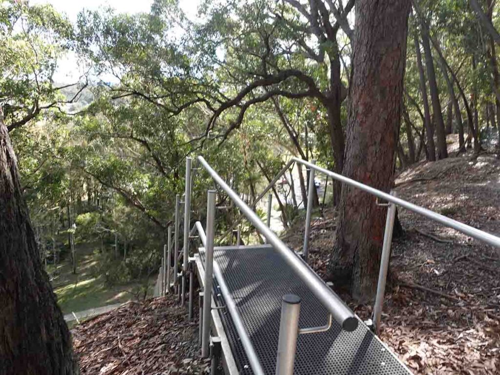
The stairs that lead to the southern trailhead of the Murramaranmg South Coast Walk
Looking over towards Batemans Bay
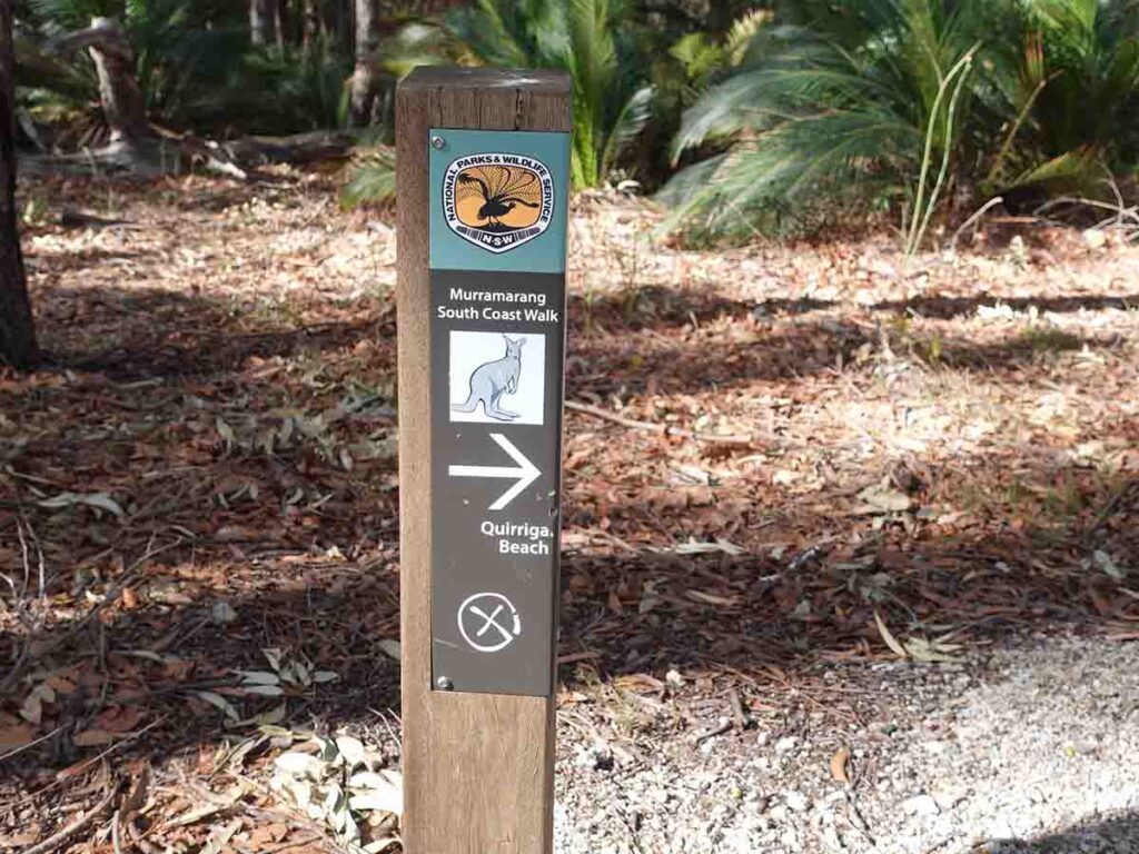
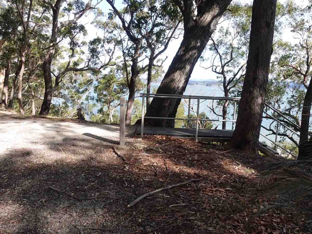
Signage. Continue on this trail for a short distance and when given the option veer right onto the headland
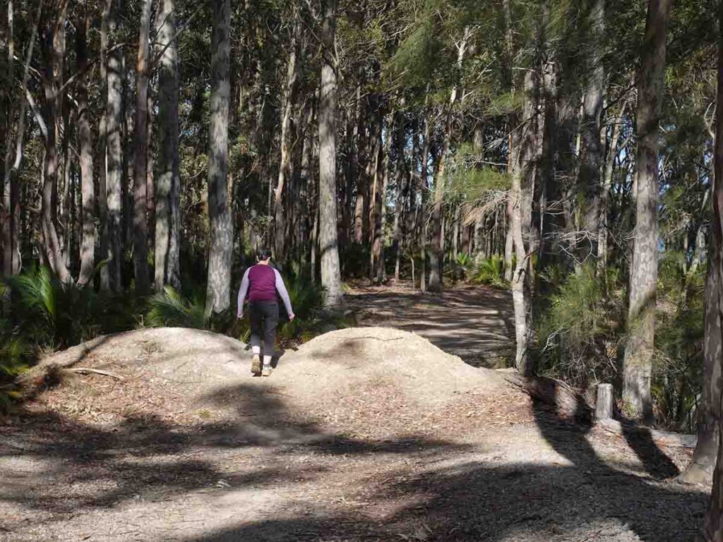
Up and over the soil mound
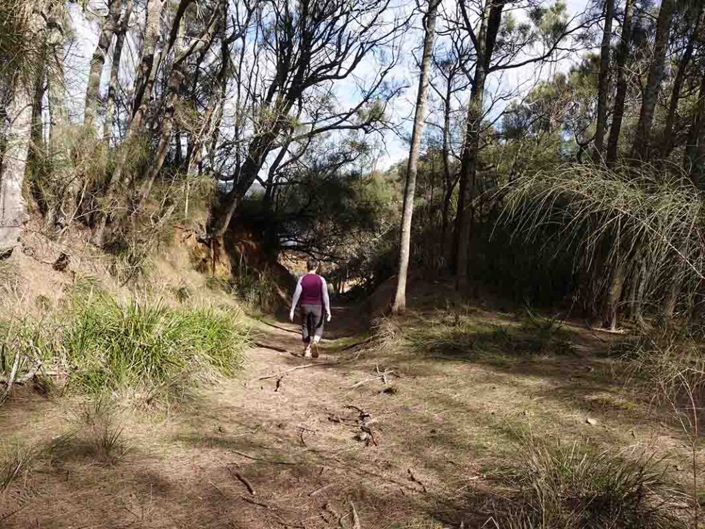
Trail example 3
Veer to the right to head out onto the headland
About to break out onto the beach descent
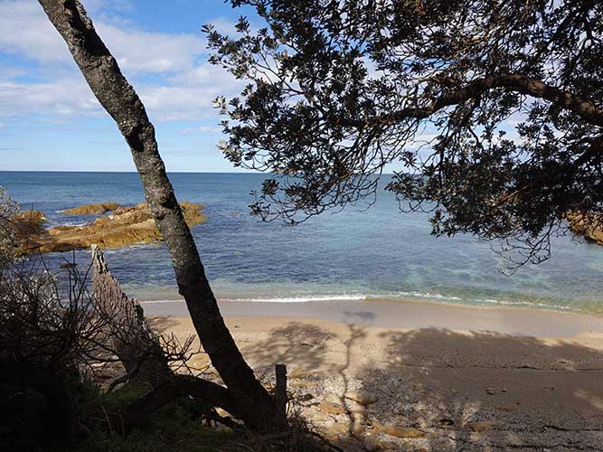
The beach is secluded and sheltered providing the wind isn’t blowing in from the wrong direction
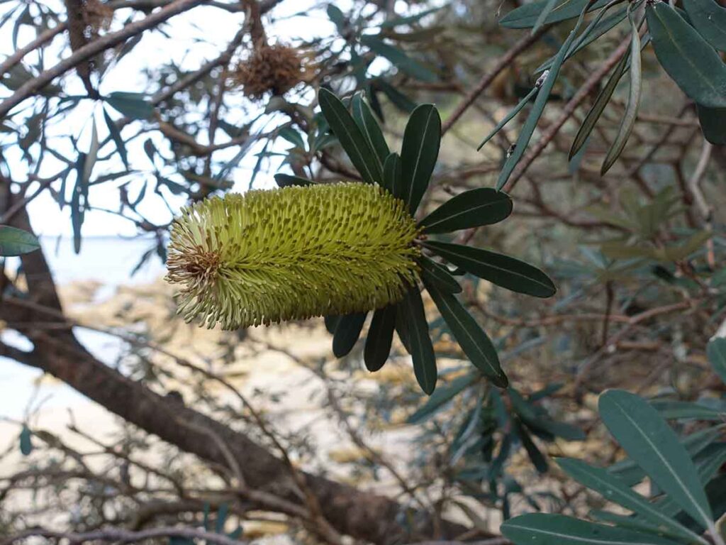
Coastal Banksia in flower
Heading back
Keep to the left on the way back
Trail example 4 on the way back
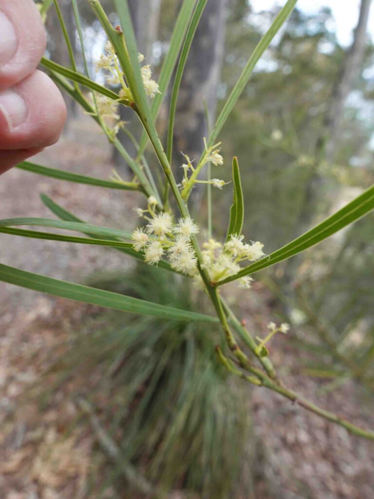
Local Wattle in flower
Walk past the stairs
Heading down the hill to the car park
Trail video
This short video slide show provides an overview of this walk from start to finish
Getting There
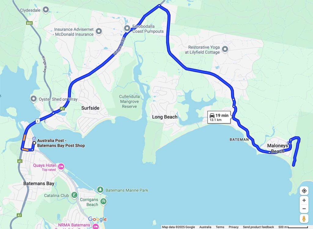
Close up of map to trailhead which is around 20 minutes from the Batemans Bay GPO
Things to know
- Phone: There is good phone signal on this trail (Telstra)
- Water: You need to bring your own water
- Toilets: There are no toilets on this trail
- Trail: This walk is on a formed natural trail
- Dogs: Dogs allowed on leash
- Other:
- Bring adequate shade (hat, long sleeves etc) in the hotter months
- No camping is allowed on this trail
- If the weather is good, bring your swimsuit and towel
Disclaimer
This walk was undertaken by the team from Australian Hiker