Red Hill Summit Walk ACT (4.1km)
Canberra Nature Reserve
Nearest Town
Canberra
Best Time of the Year to Travel
Year round
Starting Location
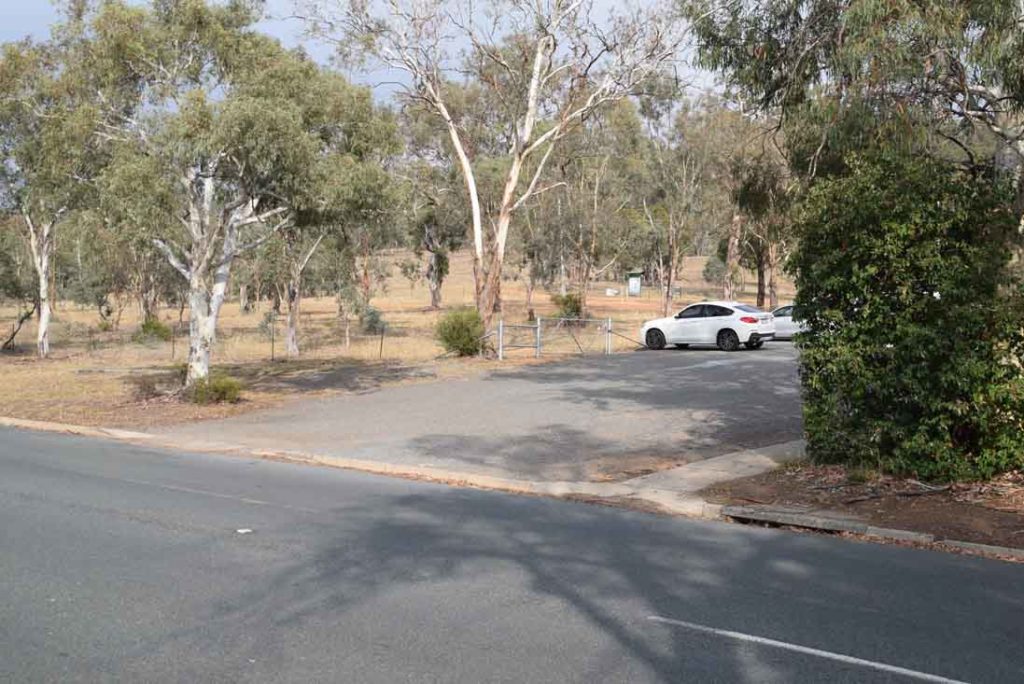
Trail head car park located just off Mugga Way in the suburb of Red Hill
Finish Location
Trail head car park located just off Mugga Way in the suburb of Red Hill
Red Hill Summit Walk Review
For many years Red Hill was the main lookout for Canberra and the Strangely shape building at the summit known as the Carousel was the prime restaurant in which to have dinner. Gone are the days when the Hill had such prominence but this still one of the most used urban bushwalks in Canberra.
This walk can be commenced from a number of sites around the hill but the main starting point is in the Suburb of Red Hill along Mugga Way. The best way to do this walk is as a loop starting at this main trail head the heading up and along the summit before heading back down onto the same side of the hill and returning to you car along the base. you can do this walk in reverse but you will miss the trail head signage if you do.
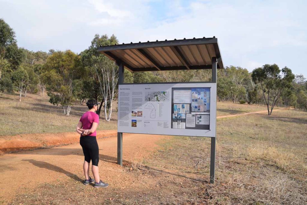
The images below show a fairly dry sort of bushland and even after consistant rain this is one of the driest summits in the city. A good proportion of this walk also forms part of the Canberra Centenary Trail and this trails directional signage is relatively easy to follow. Speaking of signage there is also good interpretive signage spread out along the trail to identify what you are seeing. When you reach the first saddle follow the signage to the right. If you turn left at this point you will be heading up the lesser known Davidson Hill.
As you approach the summit you will directed towards the left of the Carousel Complex which is the main landmark however the best access is to the right and then you can had a short distance up to the carpark and stop of for a coffee if you are inclined. There are also various benches, picnic tables and public toilets located at the summit.
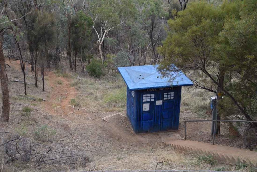
One you had a good look at the views from either side of the hill continue along the road following the Canberra Centenary Trail signage and you will come to a historic reservoir located on the left of the road. At this point head on to the newer lookout as the road turns for views towards Black Mountain. Turn around and head back about 30metres towards the summit and you will see a set of stairs leading down the hill and with it a ‘Dr Who TARDIS’ which is actually a pump house (or is it really?) and follow this trail down the hill. This descent is a bit awkward as the stairs have been badly designed and are not quite right is size or distance so interrupt the flow as you walk. Most people used the walker formed trail to the side of the stairs. Once you reach the management trail at the bottom of the hill turn right and you will follow this trail back to the carpark along the rear of the houses.
This is a relatively easy trail with lots to see in regards to views and if you don’t have much time for a longer walk (or a longer drive to get there) this is well worth doing at least once.
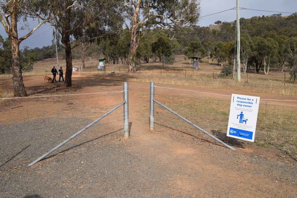
Once you get out of the car head to the top corner of the car park corner then over to the trail head. You can head the other way if you want but you will miss the trail head signage
Trail Head signage just after you start
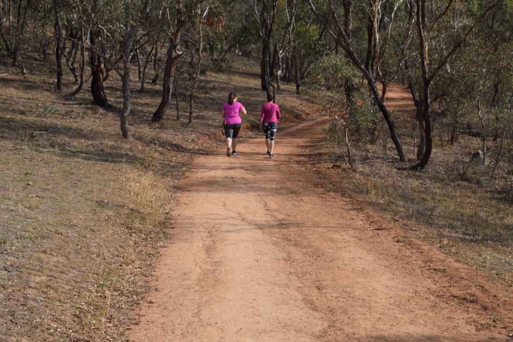
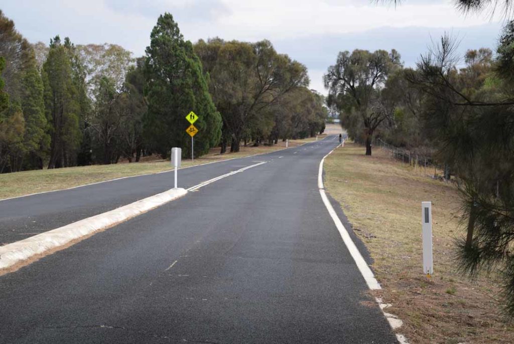
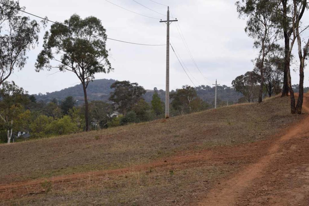
Management trail as you head up the hill
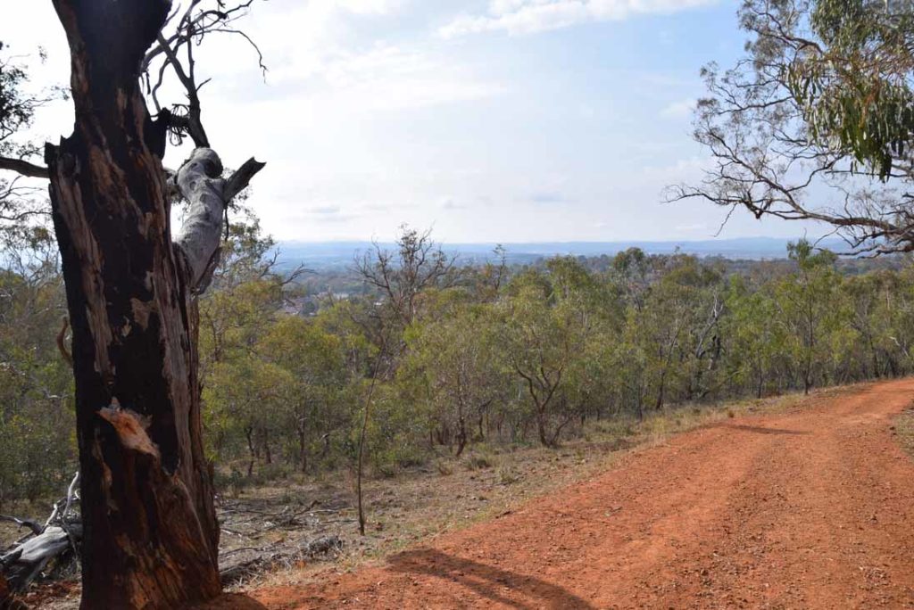
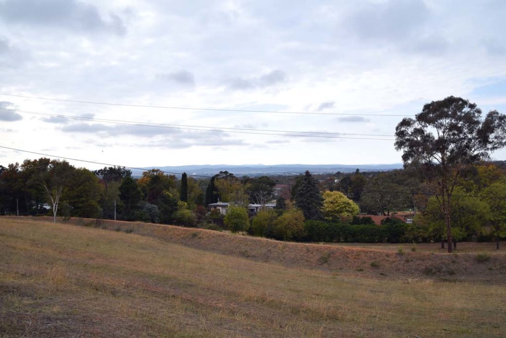
View as you walk up the hill
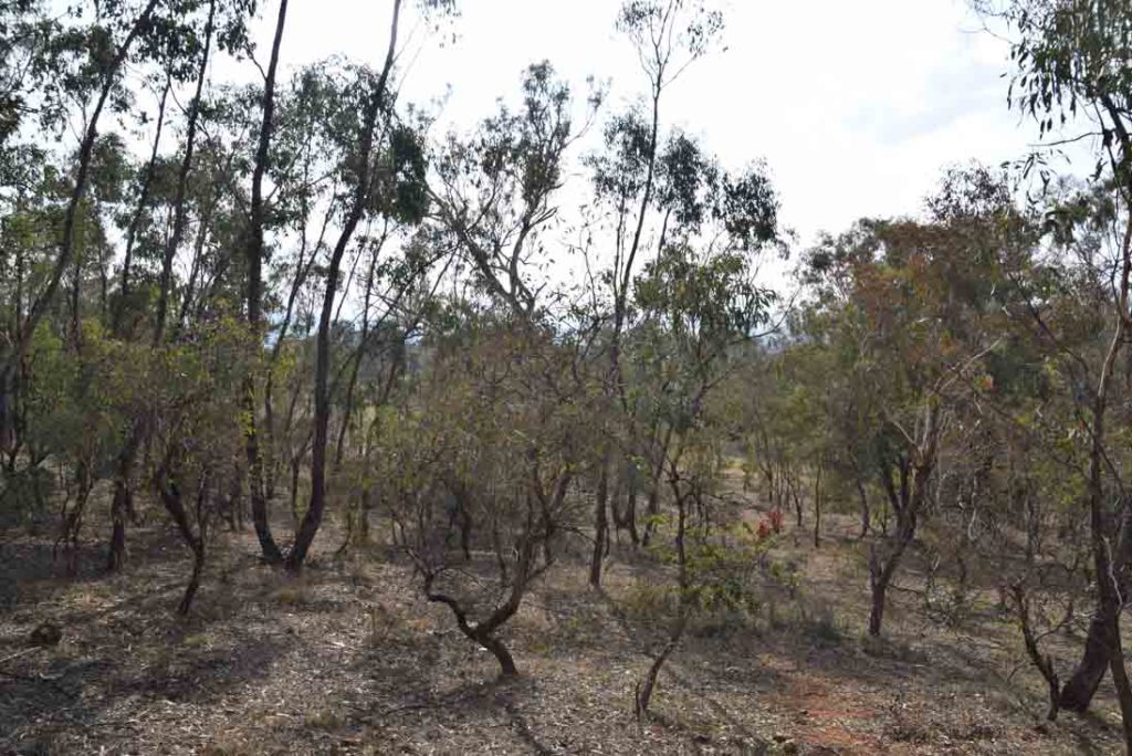
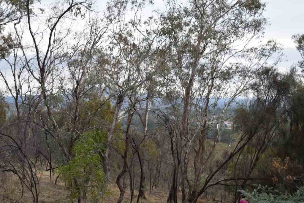
The bushland is dry at the best of times
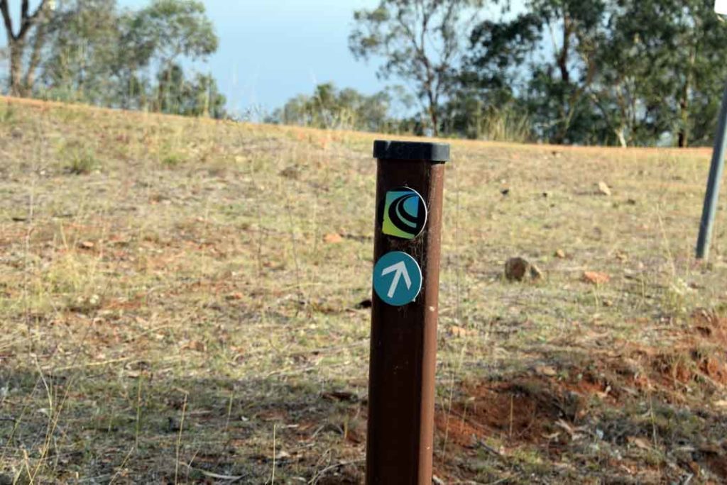
In doing this walk you are on part of the Canberra Centenary Trail
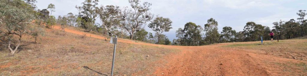
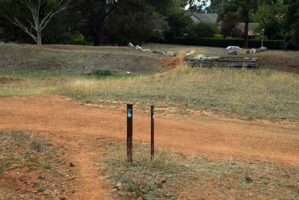
When you come to the to intersection turn right and head towards the Red Hill Summit. Turning left takes you towards Davidson’s Hill
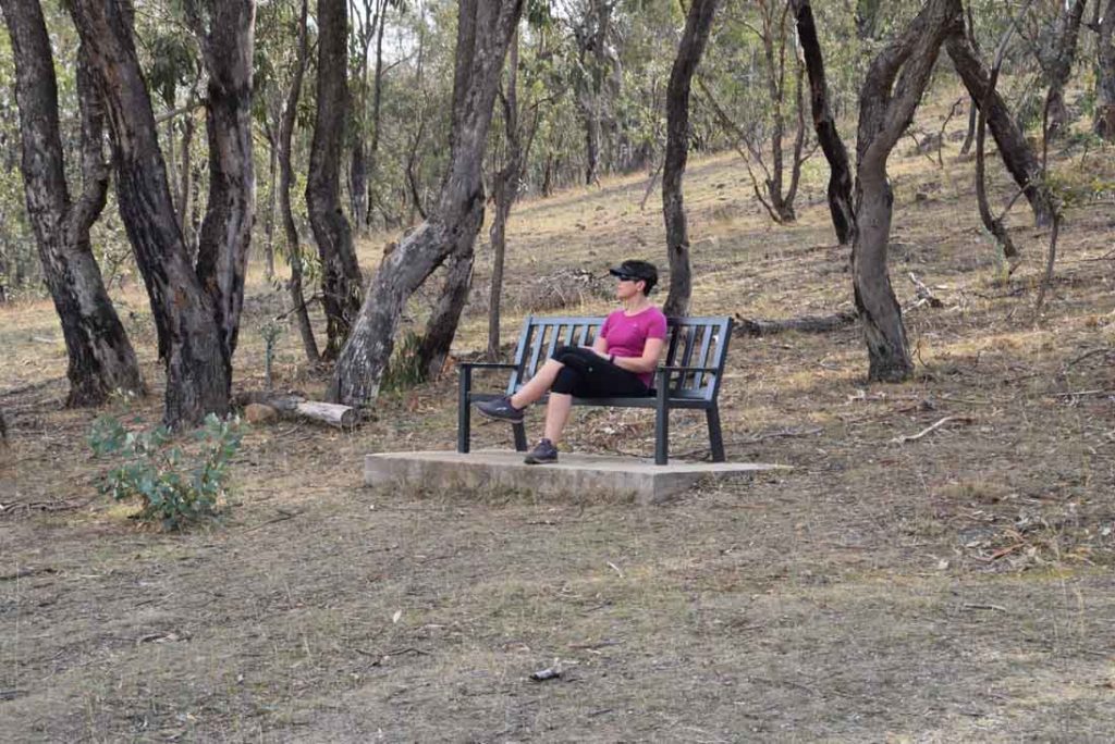
Strategically placed seat just as you turn at the T intersection
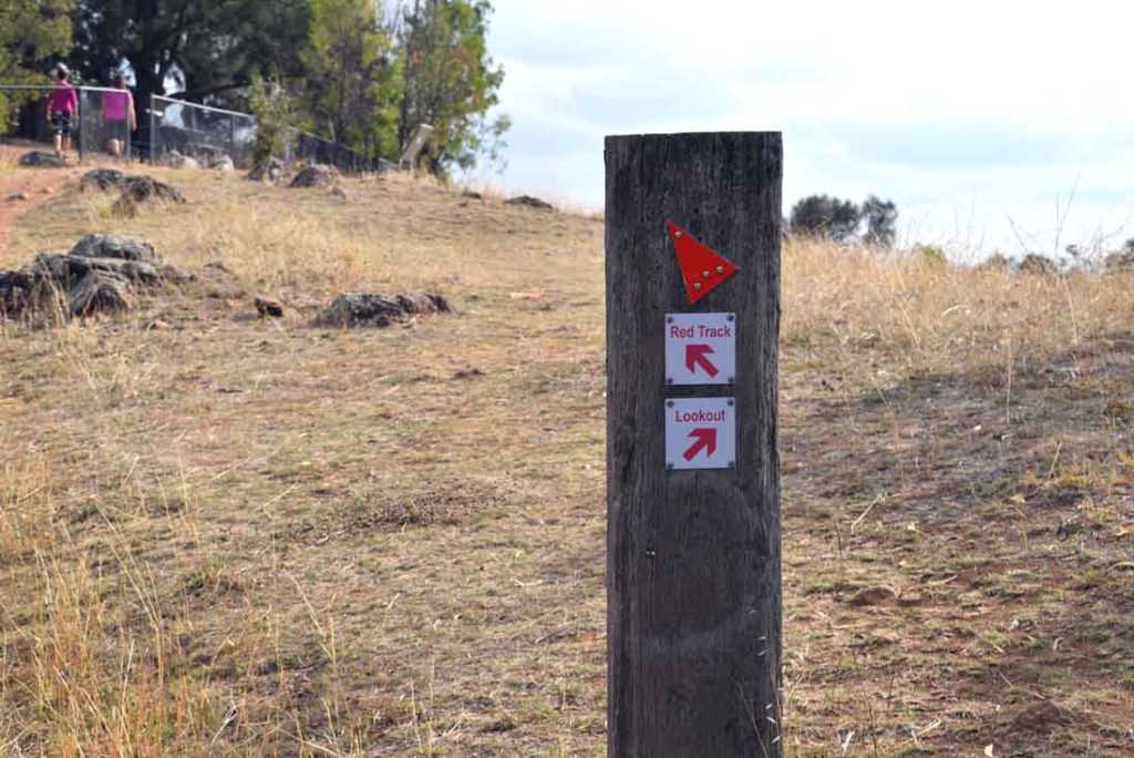
Trail markers are reasonably rare on this trail but if you follow the Canberra Centenary Trail marker up the Hill you won’t get lost
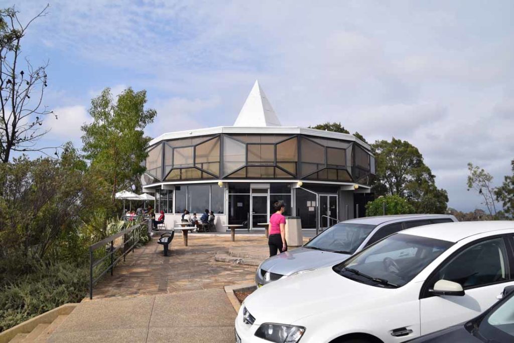
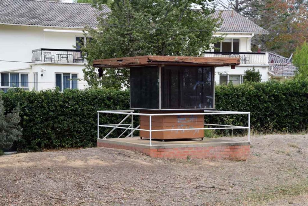
Coffee shop and Restaurant at the summit. Closed – August 2022
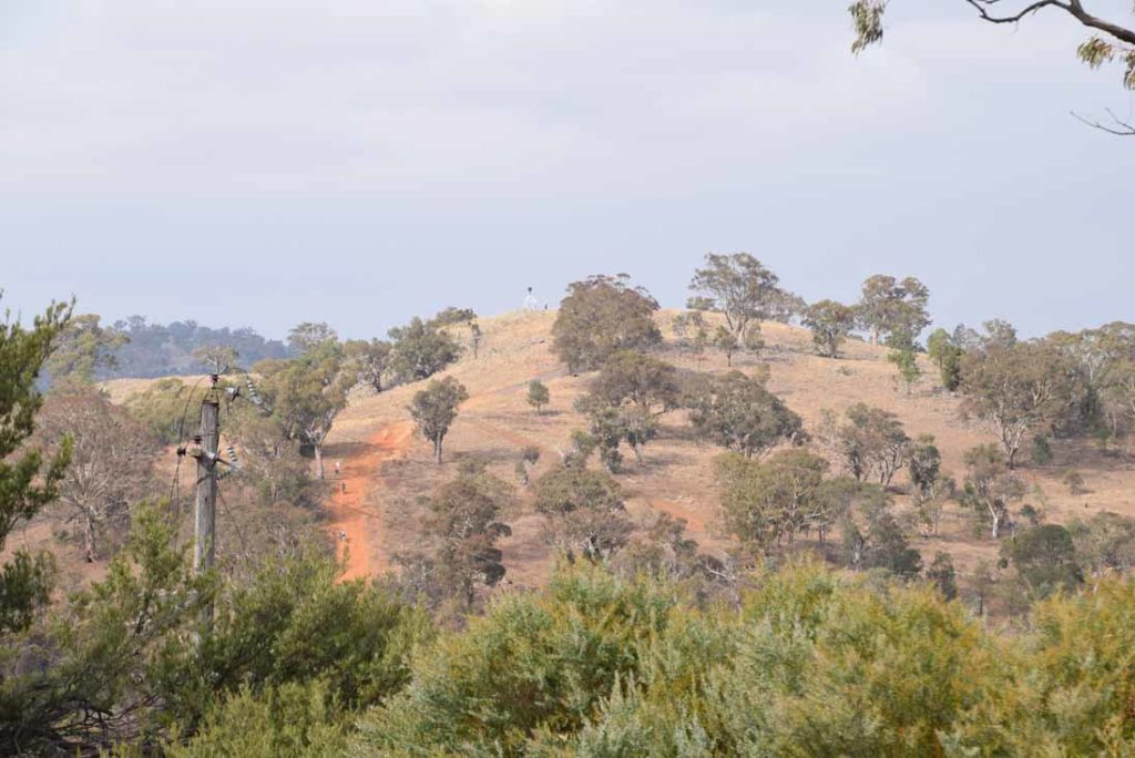
Davidsons Hill in the distance in the foreground with Mount Mugga Mugga behind to the left of the image
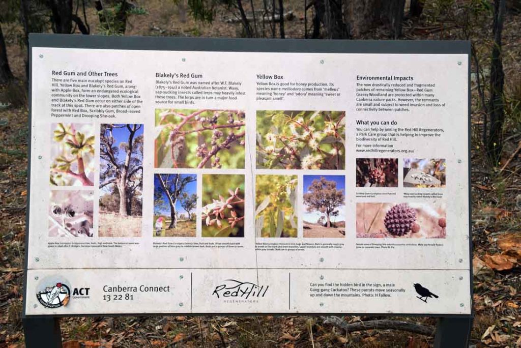
Interpretive signage is spread along the trail
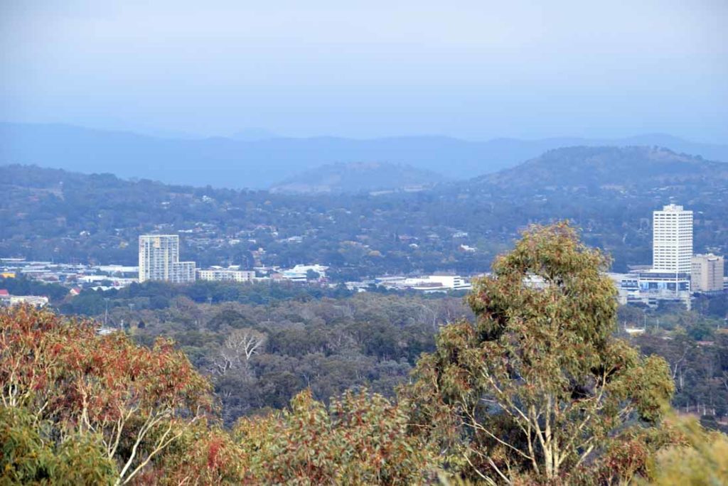
Woden Town Centre on the Southern side of Red Hill
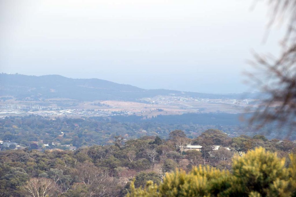
Molonglo Valley being developed in the cities southwest
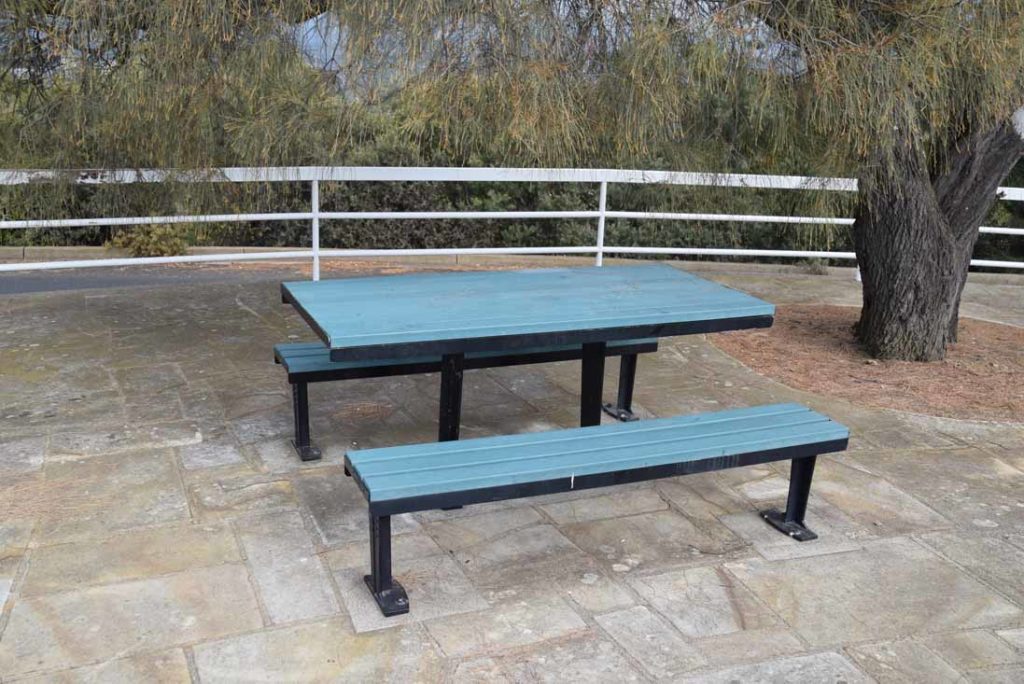
There are picnic tables and seating at various points on this summit to take a break
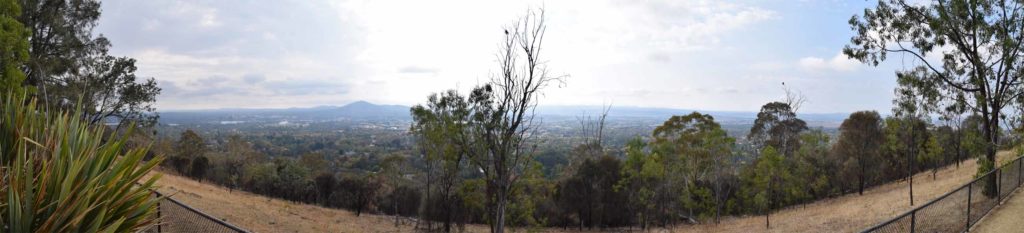
View over central Canberra
Walk along the summit and you will come across another lookout as well as the trail down
Red Hill Reservoir built approximately 100 years ago
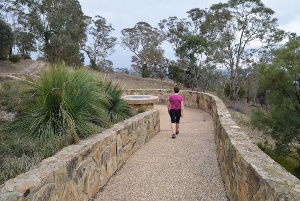
Lookout providing different views from those at the summit
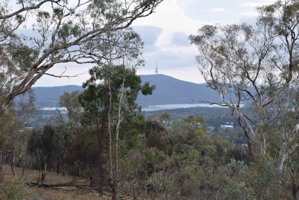
Looking towards Black Mountain over Lake Burley Griffin in the city centre
Just as you come to the reservoir you will see a set of stairs on the right heading down the hill. Follow this trail
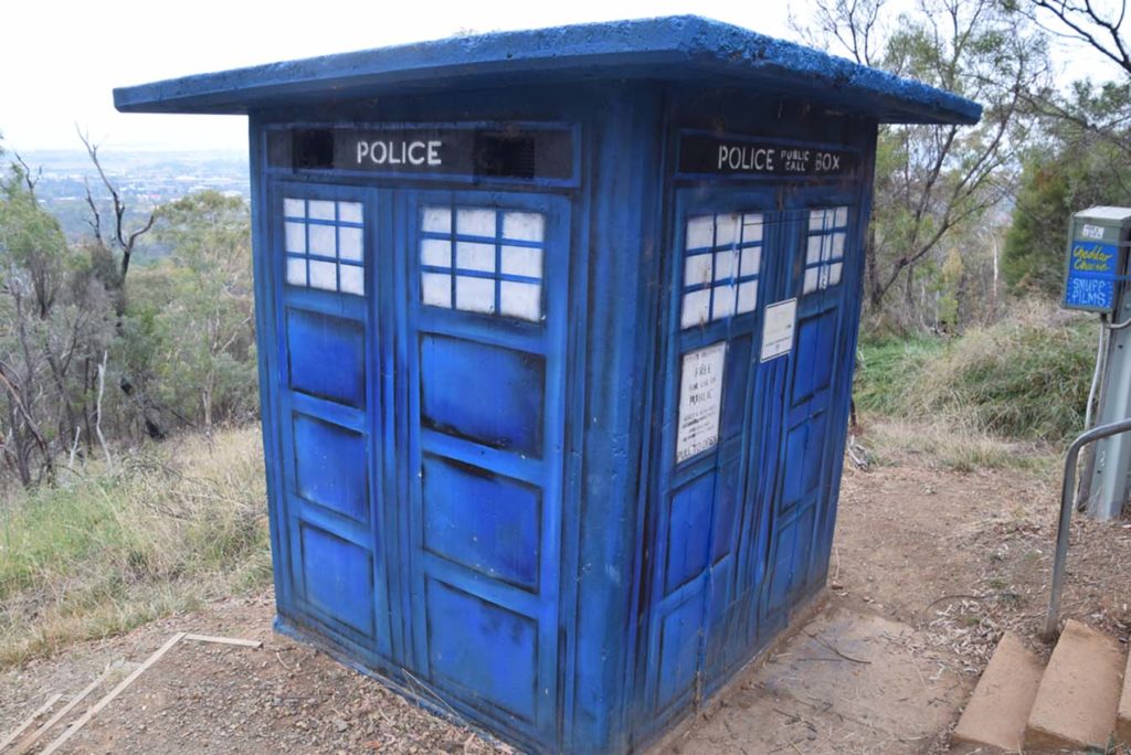
This housing for a water pump has been painted to look like Dr Who’s TARDIS
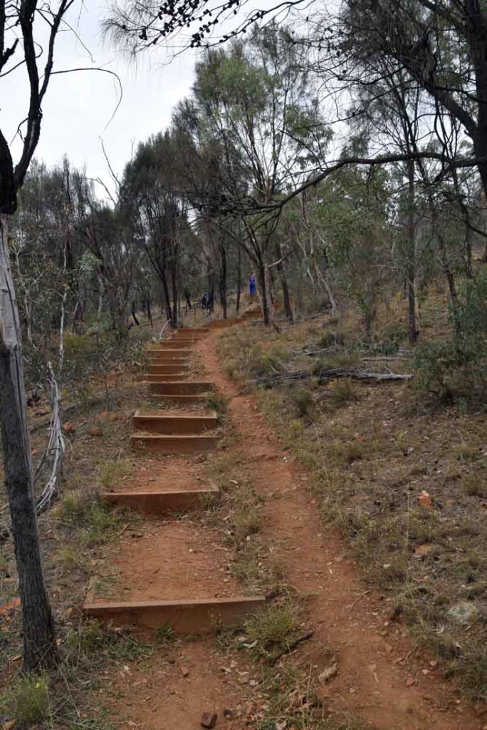
Badly trail design. The steps are just the wrong height and depth so most people use the side trail shown in this image at least on the way down
Views on the way down
Once you reach the management road at the bottom of the hill turn right and head back along the base of the Hill to the car park
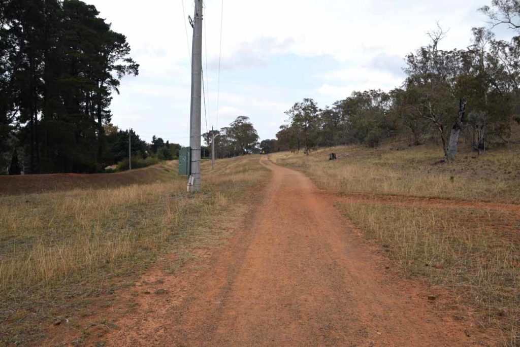
Management road back towards the trail head
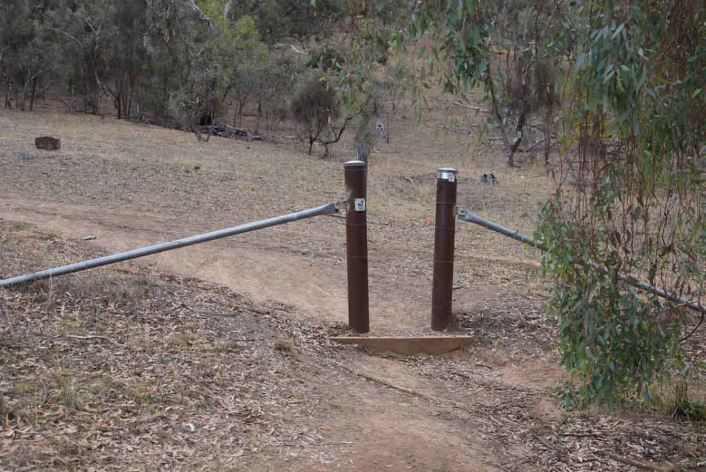
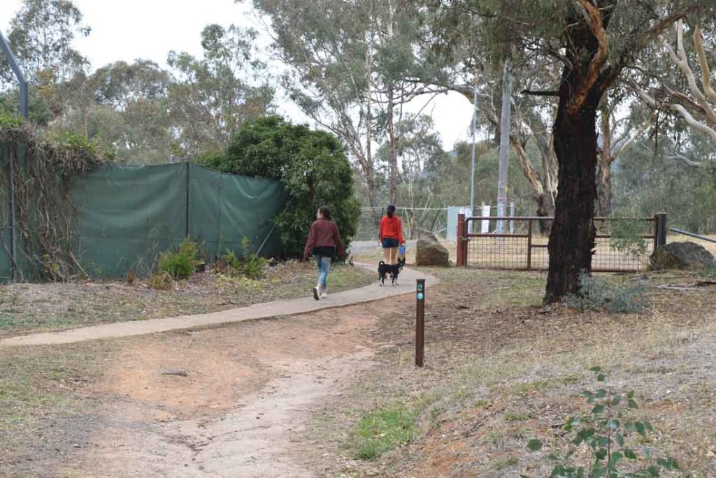
There are a few alternate access points to the top of Red Hill along this trail. This works well if you are a local and don’t have a car with you and are accessing from through the houses
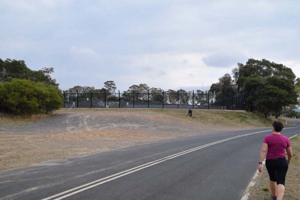
Views heading back towards the trail head
Mount Mugga Mugga in the distance. This is one of Canberra’s tallest mountains but the summit is not accessible to hikers as it is adjacent to a disused quarry
Disused police box at the back of houses which are often Embassy residences
Back to the car park
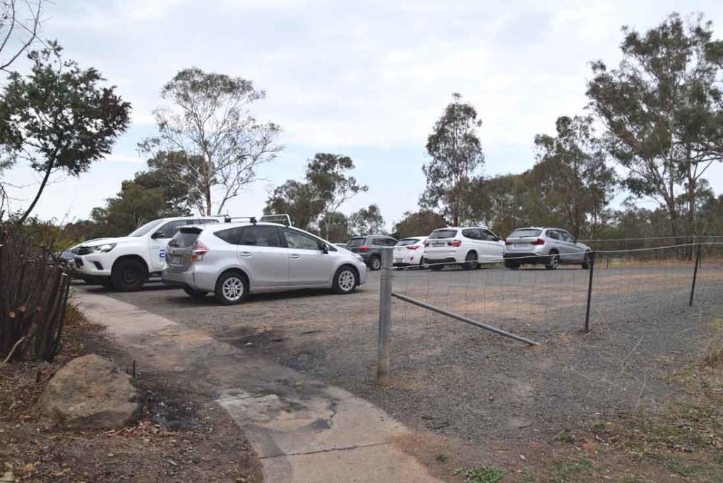
Back to the car park
Getting There
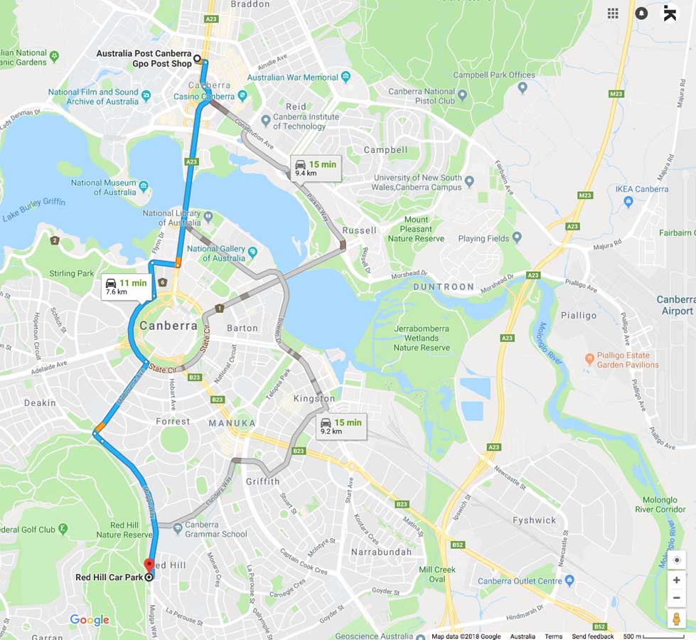
Google Map to the Red Hill trail head car park from the Canberra GPO:
- This walk is centrally just south of Canberra’s largest Lake; Lake Burly Griffin
- The start of this walk is only 9km for the GPO
Red Hill car park on Hill side of Mugga Way in the suburb of Red Hill
Things to Know
- Phone: There is good phone signal on this trail (All networks)
- Water: You need to bring your own water
- Toilets: There are toilets at the summit
- Trail: This walk is on a combination of dirt management road/trail and bitumen surface
- Dogs: Dogs allowed on leash
- Camping: No camping is allowed on this trail
- Other:
- Bring adequate shade (hat, long sleeves etc) in the hotter months
- There are various starting points for this trail all around the base of Red Hill but this walk is the main one
- This trail is walkable year round
- There is a cafe and restaurant at the summit of Red Hill but its currently closed
Disclaimer
This walk was undertaken by the team from Australian Hiker