
Nearest Town
Milton-Ulladulla
Starting Location
Little Forest car park
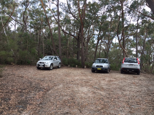
Car park for the Little Forest Walking Track
Finish Location
Little Forest car park
Best Time to Travel
Year round but mid Spring would have the most bird life due to the abundance of flowering plants
Little Forest Walking Track Summary
This walk is a great little track if you want to show overseas visitors what the Australian bush is like. It is a short track that’s relatively easy to do and if not for the odd step it would be a grade 1 so fitness is not really an issue. The Little Forest Walking Track starts at the car park and ends at the maintenance road which is were you turn around and return to the car park. The track surface varies from natural track through to metal mesh but there are no really difficult areas on the track to negotiate. One of the reasons this track is so good for visitors is that the vegetation changes a number of times along this short trail and packs an awful lot in for such a short time commitment.
There is plenty of seating along the trail as well as interpretive signage explaining what you are seeing and hearing. Some of this signage has seen better days but most of it is still readable. If you want to extend this walk turn right at the maintenance road and walk along for a short distance to large areas of heathland that are teaming with birdlife.
If you feel so inclined and have the fitness level, you can continue on at the turnaround point and turn right where a sign will direct you to either Rusden Head (5 km further) or Florence Head (2.5 km further). Both of these longer walks take you to cliff edges so caution should be exercised.
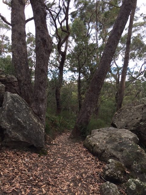
Start of Track
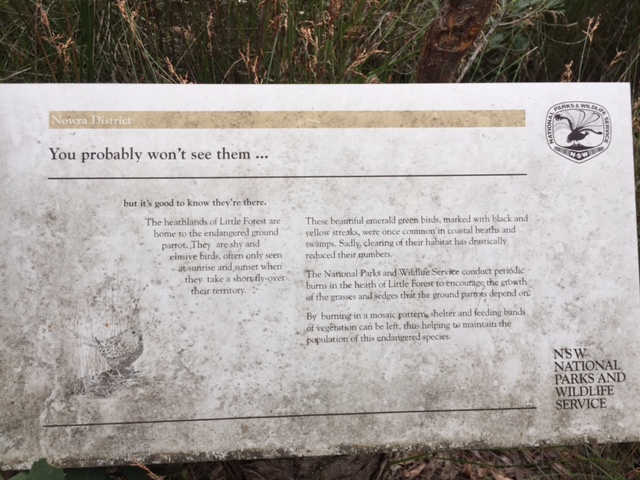
Interpretive signage explaining what’s there
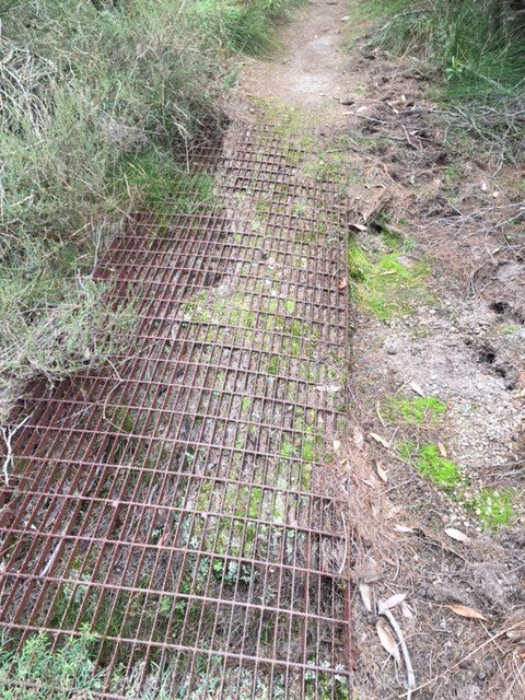
Track example

Track example
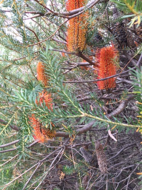
Banksia in flower – Autumn

There is a lot of fungi around particularly in the wetter warmer months. Don’t eat anything that you aren’t certain is edible
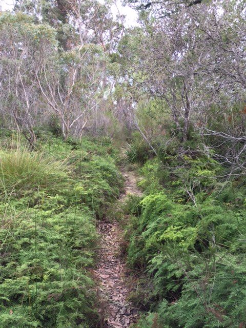
Although this trail is short the vegetation changes a number of times along its length providing a good overview of the different types of Australian bush

Seating and signage is spaced regularly along to trail to rest and contemplate
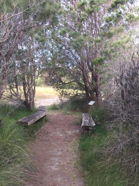
End of the trail. If you turn right here you will come across two additional signs indicating the longer tracks ahead
Getting There

Travel north from Milton-Ulladulla and turn on to Porters Creek Road. Follow along Porters Creek Road until you come to Mt Bushwalker Road and follow the signs to the left. You will come to the service road first but keep on going for about 30 metres and you will come the car park road. There is a sign just in along this road but it is partly overgrown.
The road is in good condition and suitable for non 4WD cars unless it has been raining very heavily

Highway turnoff onto Porters Creek Road
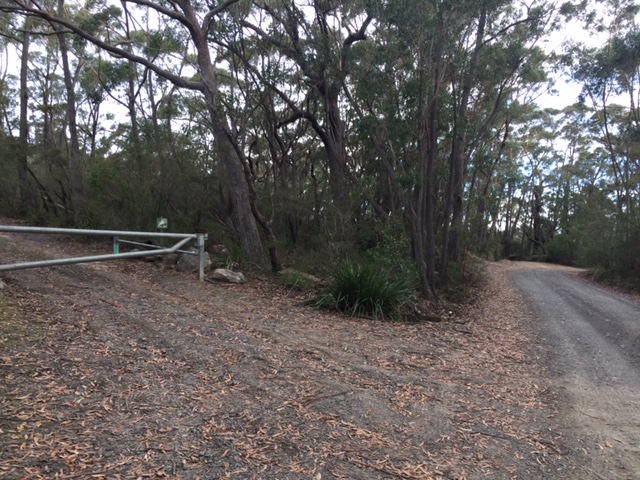
Google Maps will take you to this gate which is the maintenance road for this area. The turn off to the car park in 30 metres further on the left
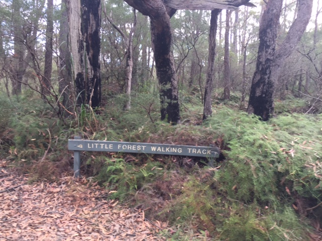
This sign although partially obscured is visible as you approach the turn off. You just need to look left
Things to Know
- If you use Google Maps to find your way you will be directed to the service road which is about 30 metres before the turnoff to the car park
- Mobile phones work for most of this track
- The trail is easy to follow and is a very easy to walk
- The trail ends abruptly at a T-intersection. This is your turn around point. If you go left at this stage you will be on the service road and loop back to the road you came in on. If you go to the right you will discover the start point for some longer walks
Disclaimer
This walk was undertaken by the team from Australian Hiker

